The 13 Most Amazing Peaks around Munitibar-Arbatzegi Gerrikaitz
Best mountain peaks around Munitibar-Arbatzegi Gerrikaitz offer a diverse landscape for outdoor activities. The region is characterized by its mountainous terrain, with prominent peaks like Mount Oiz providing extensive views. This area holds historical and mythological significance within the Basque Country, featuring natural environments with pastures, forests, and wildlife. Munitibar-Arbatzegi Gerrikaitz serves as a starting point for various routes exploring these natural features.
Best mountain peaks around Munitibar-Arbatzegi Gerrikaitz
- The most popular mountain peaks is Kalamua Summit, a summit…
Last updated: July 4, 2026
Alto de Muniketa (Montecalvo)
Highlight • Mountain Pass
Translated by Google •
Tip by

Gerrikaitz-Gontzagarigana climb
Highlight (Segment) • Climb
Translated by Google •
Tip by

Sign up now to discover places like this
Get recommendations on the best single tracks, peaks, & plenty of other exciting outdoor places.
Sign up for free
Kalamua Summit
Highlight • Summit
At its vertex, in addition to beautiful views, you can find several mailboxes.
Translated by Google •
Tip by

Bizkargi
Highlight • Summit
Translated by Google •
Tip by

Monte Oiz
Highlight • Summit
Translated by Google •
Tip by

Sign up for free to discover even more peaks around Munitibar-Arbatzegi Gerrikaitz.
Sign up for free
Already have an account?
Start today with a free account
Your next adventure awaits.
Login or Signup
Popular around Munitibar-Arbatzegi Gerrikaitz
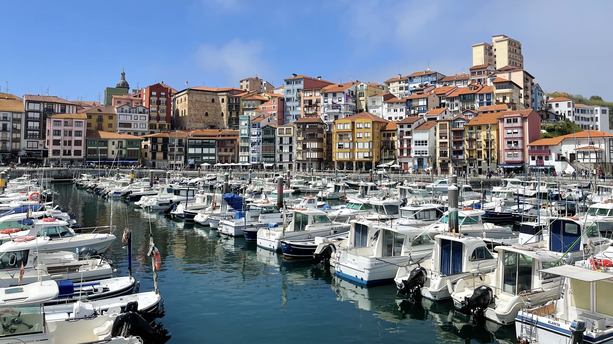
Nature and Culture — The Tour of Urdaibai (GR 98)
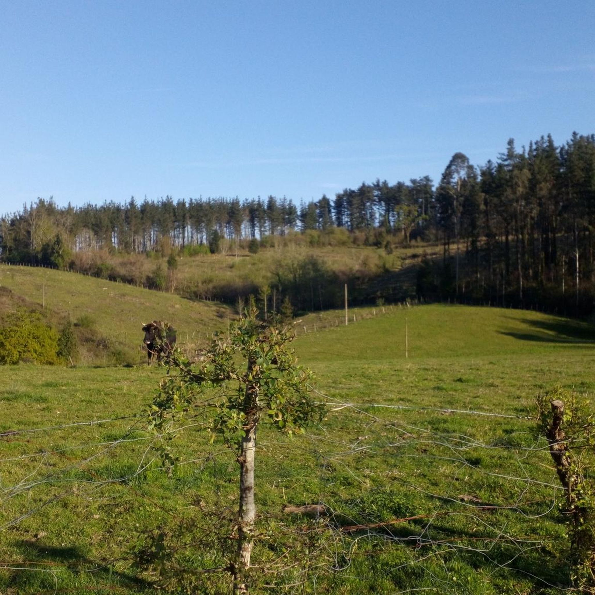
Road Cycling Routes around Munitibar-Arbatzegi Gerrikaitz
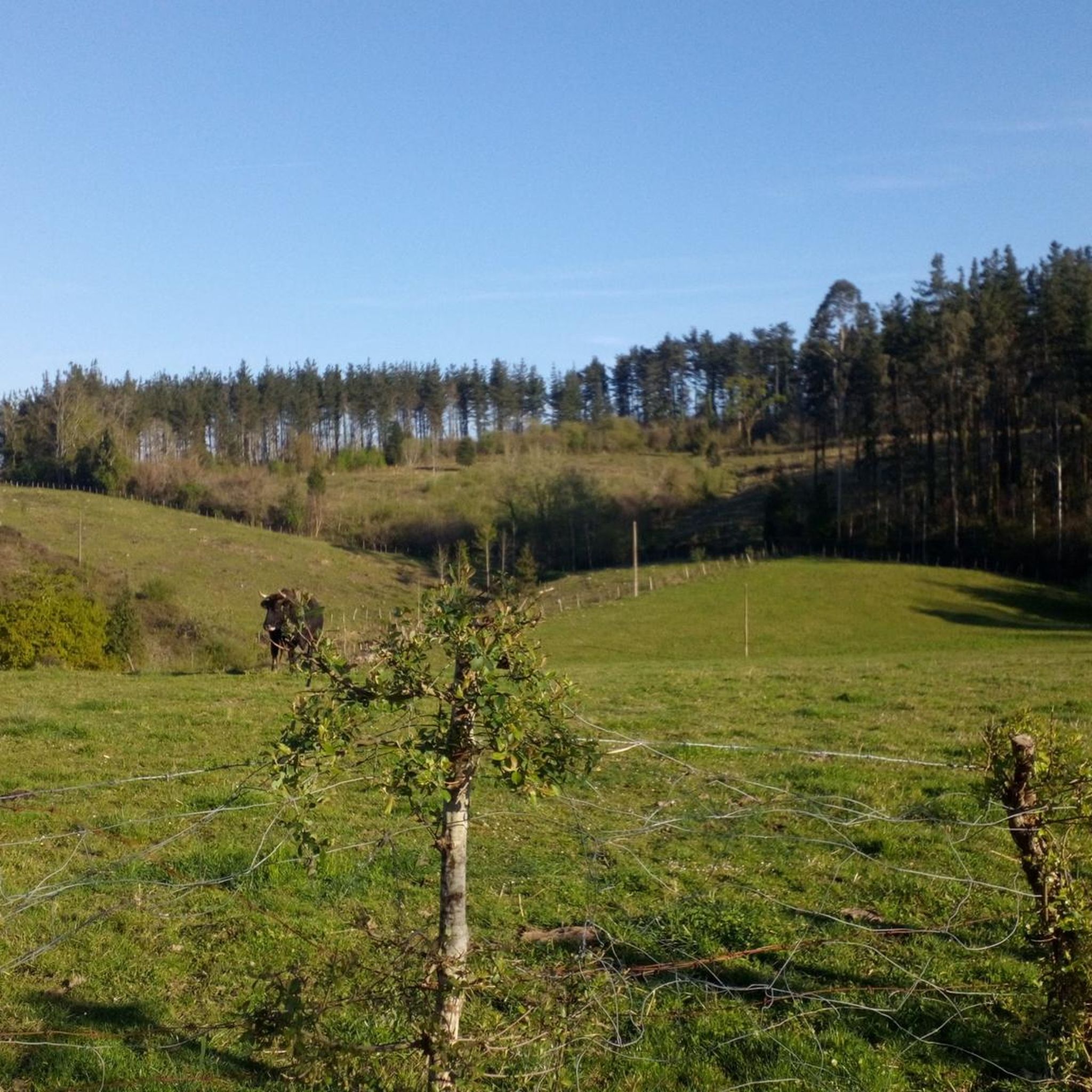
MTB Trails around Munitibar-Arbatzegi Gerrikaitz
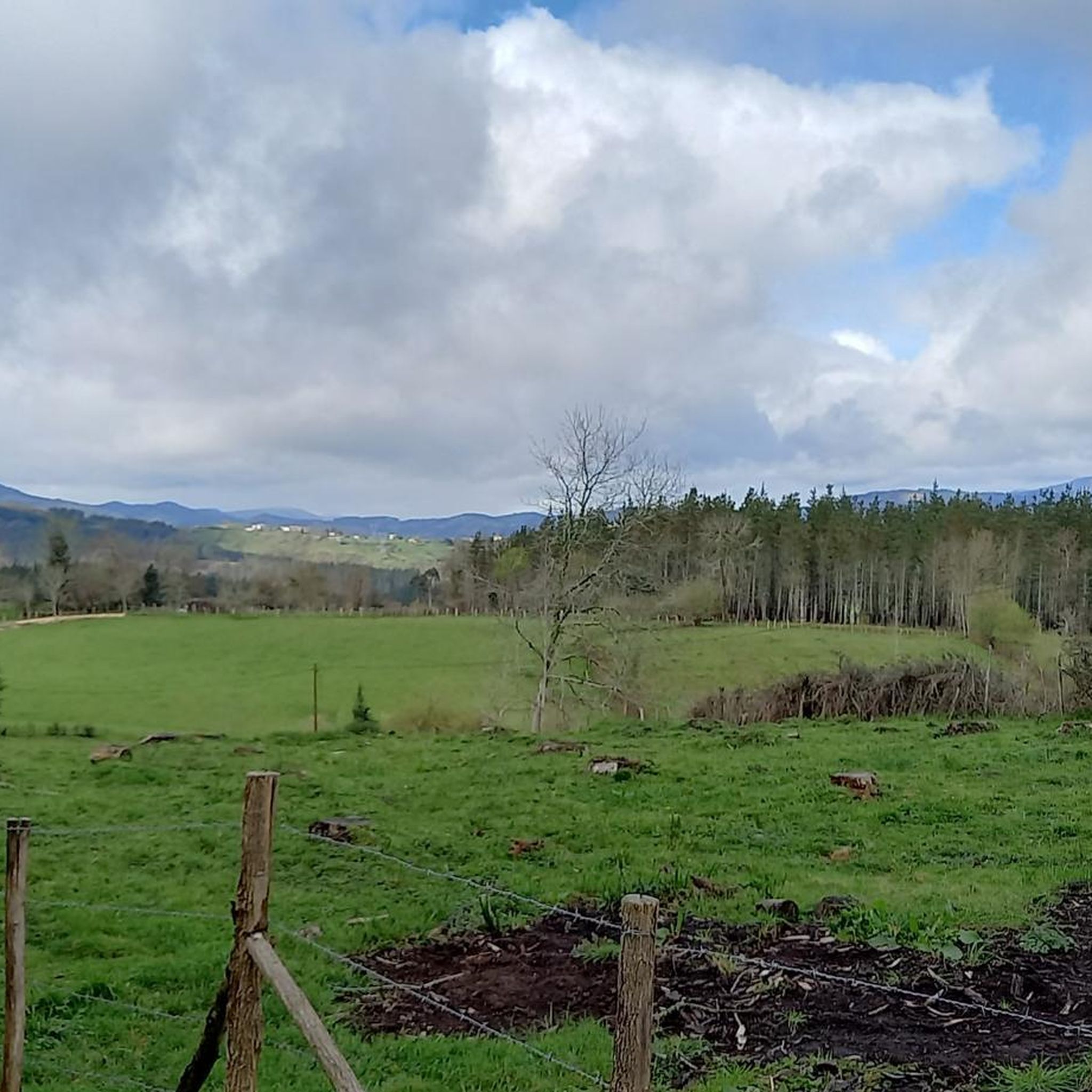
Cycling around Munitibar-Arbatzegi Gerrikaitz
Running Trails around Munitibar-Arbatzegi Gerrikaitz
Hiking around Munitibar-Arbatzegi Gerrikaitz

Gravel biking around Munitibar-Arbatzegi Gerrikaitz
Other adventures around Munitibar-Arbatzegi Gerrikaitz

Tips from the Community

This 770 meter high summit is an excellent vantage point from which to observe the mountains that surround us. It is an outcrop of slate. At its vertex, in addition to beautiful views, you can find several mailboxes.
1
0

A small chapel that marks the peak of Bizkargi at 557 meters. Beautiful views on a clear day.
1
0

Montecalvo is located at an altitude of 381 meters, offering impressive views of the sea and Urdaibai on one side and Duranguesado on the other. The Muniketa road was the main communication route south through Durango until 1848, when the Autzagane road was improved.
1
0


From the top of Muniketa or Montecalvo, there are exceptional views and you can see the sea and Urdaibai on one side, as well as the Duranguesado on the other. Muniketa is a dispersed neighborhood with several typical hamlets and until 1848 it was the main route of communication to the south through Durango. That year the Autzagane road was improved. In Muniketa is the Astei agrotourism, a rehabilitated farmhouse with restaurant service from where we can perfectly see a slope of Mount Oiz and Goraño. From Artatza, the ascent is a 3.7-kilometre climb with 261 meters of positive elevation gain, 12 beautiful horseshoe curves and a very regular slope of around 7%. From Muxika, the ascent is 9 kilometers and a total of 382 meters of positive slope. More info at: https://www.muxikakoudala.eus/es-ES/informacion-cultural/Barrios/Paginas/Muniketa.aspx
0
0

Gontzagarigana from Gerrikaitz is an ascent in the Basque Country region. It is 2.7 kilometers long and covers 174 vertical meters with an average gradient of 6.4%. This climb scores 118 climbing points. The top of the climb is 365 meters high. https://climbfinder.com/en/climbs/gontzagarigana-gerrikaitz
2
0

Frequently Asked Questions
What are the most prominent mountain peaks to explore around Munitibar-Arbatzegi Gerrikaitz?
The most prominent peak in the area is Mount Oiz, known for its spectacular 360-degree views and historical significance. Other notable peaks include Kalamua Summit, which offers excellent vantage points at 770 meters, and Bizkargi, featuring a small chapel at its 557-meter peak with beautiful views on clear days.
What kind of views can I expect from the mountain peaks in this region?
From peaks like Mount Oiz, you can enjoy panoramic 360-degree views encompassing the Durangaldea and Lea-Artibai regions. On clear days, the Cantabrian Sea is visible. Alto de Muniketa (Montecalvo) also provides impressive views of the sea, Urdaibai, and Duranguesado.
Are there challenging ascents for experienced hikers or cyclists?
Yes, Mount Oiz offers a challenging ascent, especially for cyclists, with some sections reaching gradients over 20% and even up to 24%. The climb from Munitibar is an 8.8 km ride with an average gradient of 9.4%. For hikers, a 10.5 km loop to Mount Oiz from Munitibar-Arbatzegi Gerrikaitz is considered moderate, requiring good fitness. The Gerrikaitz-Gontzagarigana climb is another ascent covering 2.7 kilometers with an average gradient of 6.4%.
What natural features and wildlife can be found on the mountain peaks?
The mountains feature extensive pastures where sheep, horses, and cows graze. At lower elevations, you'll find patches of oak and beech trees. The area is home to wild deer and boars, and various bird species can be observed flying between Mount Oiz and the nearby Urkiola Natural Park.
What is the historical significance of Mount Oiz?
Mount Oiz holds significant historical and mythological importance in the Basque Country. It was one of the five "Hornblower Mountains" (Deiadar-Mendiak) from which ancient assemblies of the Lordship of Biscay were summoned using fire and horn signals. It is also steeped in mythology, believed to be a dwelling place of the goddess Mari, alongside Mount Anboto.
Are there hiking routes available near Munitibar-Arbatzegi Gerrikaitz?
Yes, there are several hiking routes available. For example, you can take the "Mount Oiz Summit – Monte Oiz loop from Munitibar-Arbatzegi Gerrikaitz," which is a moderate 10.5 km hike. Another option is the "Wooden Boardwalk Trail – Monastery Courtyard loop from Munitibar-Arbatzegi Gerrikaitz," a moderate 7.2 km route. You can find more hiking options in the Hiking around Munitibar-Arbatzegi Gerrikaitz guide.
Can I go cycling around the mountain peaks in this region?
Absolutely. The region offers various cycling routes, including challenging ones like the ascent to Mount Oiz. You can explore routes such as the "Artzubi Bridge – Guernica Mural in Gernika loop from Munitibar-Arbatzegi Gerrikaitz," a difficult 34.5 km ride. For more options, check out the Cycling around Munitibar-Arbatzegi Gerrikaitz guide.
Are there any specific road cycling routes that include mountain peaks?
Yes, road cyclists can enjoy routes that incorporate the region's peaks. A notable option is the "Monte Oiz and Balcón de Bizkaia Loop," a difficult 63.3 km route. You can find more detailed road cycling itineraries in the Road Cycling Routes around Munitibar-Arbatzegi Gerrikaitz guide.
What is the best time of year to visit the mountain peaks?
While specific seasonal recommendations aren't provided, the presence of extensive pastures and forests suggests that spring and autumn would offer pleasant temperatures and vibrant scenery for hiking and cycling. Clear days are ideal for enjoying the panoramic views from the summits.
Are there any cultural or religious sites on the mountain peaks?
Yes, the peak of Bizkargi, at 557 meters, is marked by a small chapel, adding a cultural and religious element to the natural landscape.
What do visitors enjoy most about the mountain peaks around Munitibar-Arbatzegi Gerrikaitz?
Visitors particularly appreciate the stunning panoramic views from summits like Mount Oiz and Kalamua Summit. The challenging yet rewarding ascents, the natural environment with grazing animals, and the historical significance of the peaks also contribute to a memorable experience.
Are there any accommodations or places to eat near the mountain peaks?
Near Alto de Muniketa (Montecalvo), you can find the Astei agrotourism, which is a rehabilitated farmhouse offering restaurant services. This provides a convenient option for food and potentially accommodation after exploring the peaks.
Most popular routes around Munitibar-Arbatzegi Gerrikaitz
Most popular attractions around Munitibar-Arbatzegi Gerrikaitz

Get inspired with the komoot mobile app


Explore more
See even more amazing summits around Munitibar-Arbatzegi Gerrikaitz with these guides:
