The best running trails around Munitibar-Arbatzegi Gerrikaitz
4.7
(42)
2,616
runners
163
runs
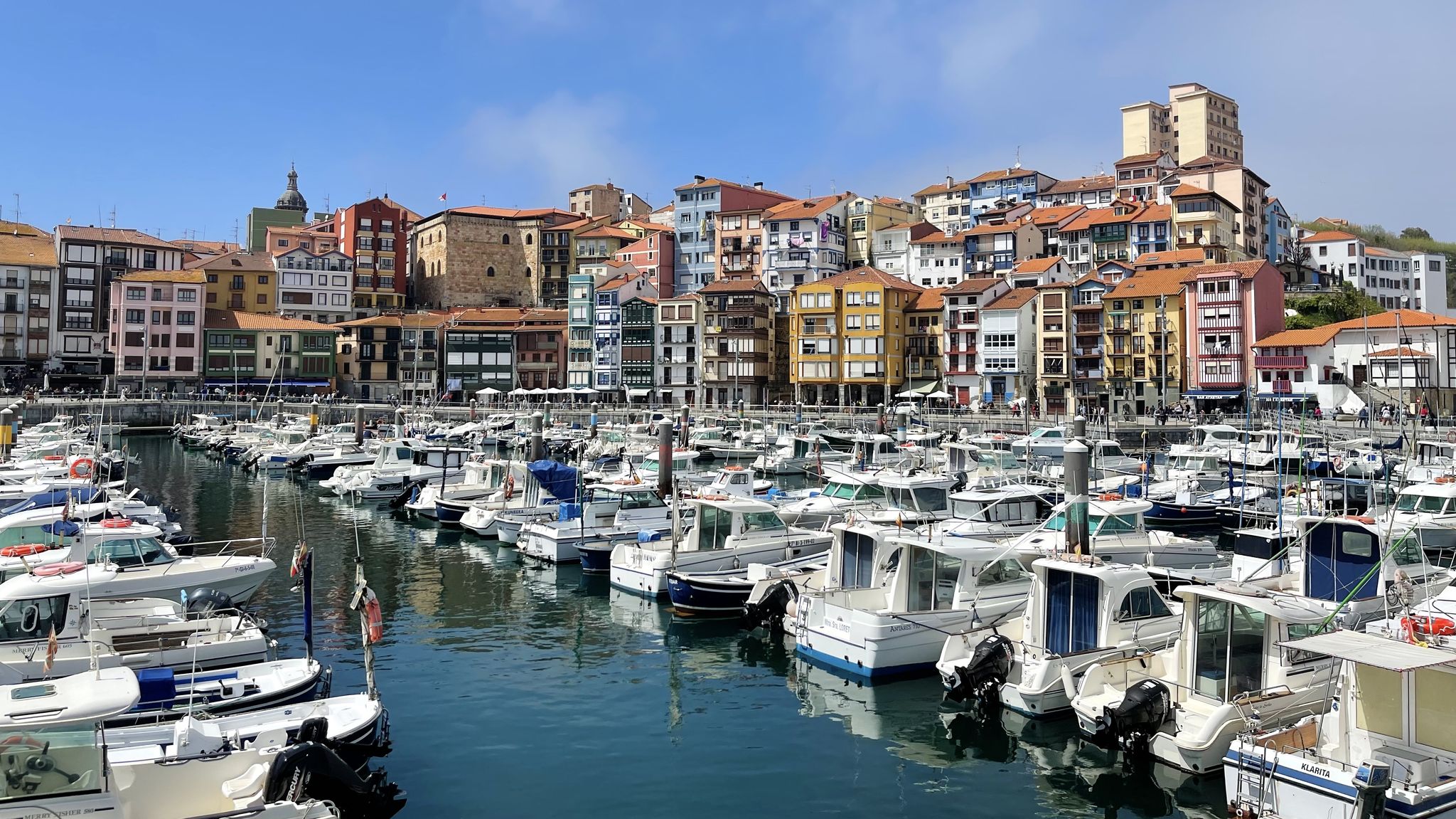
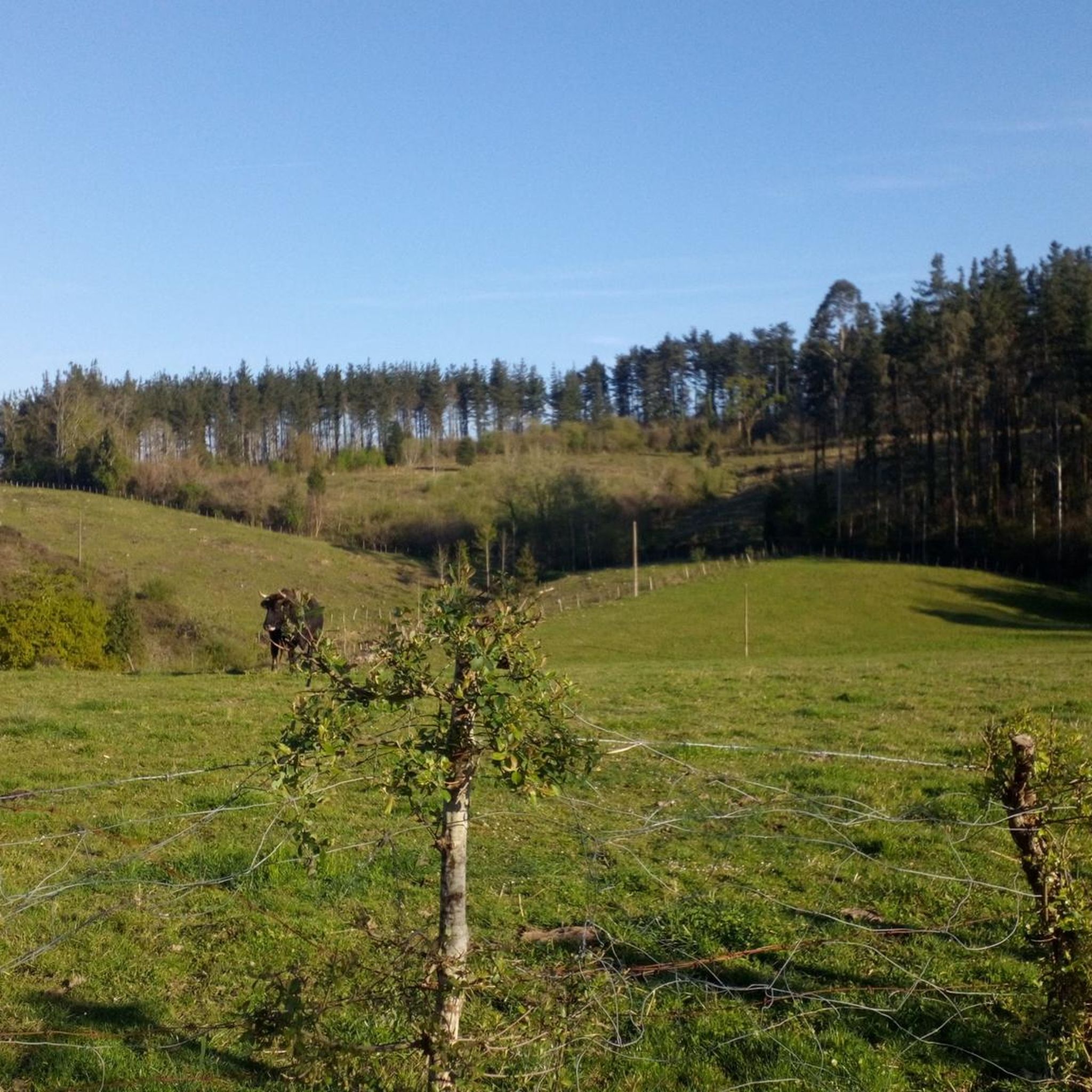
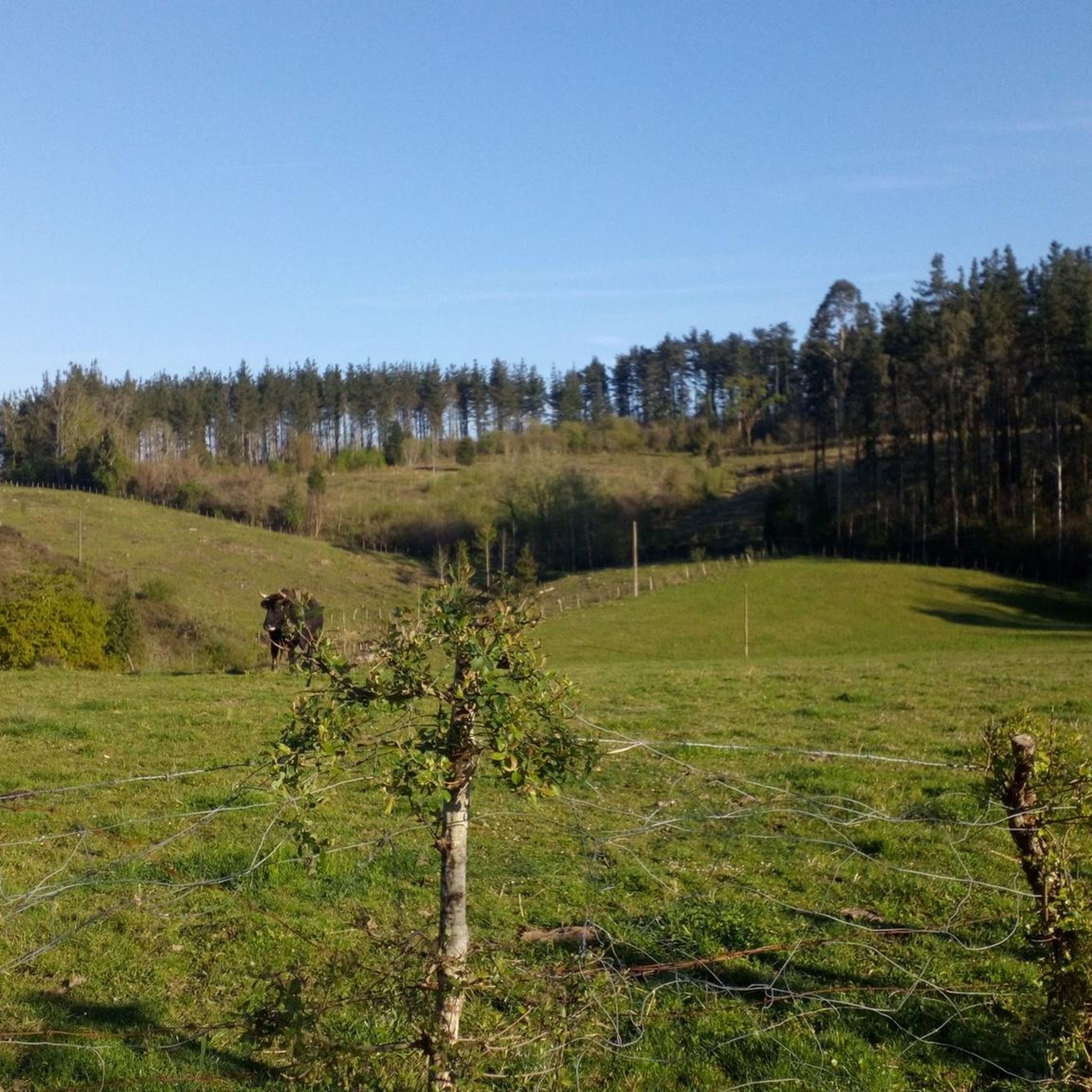
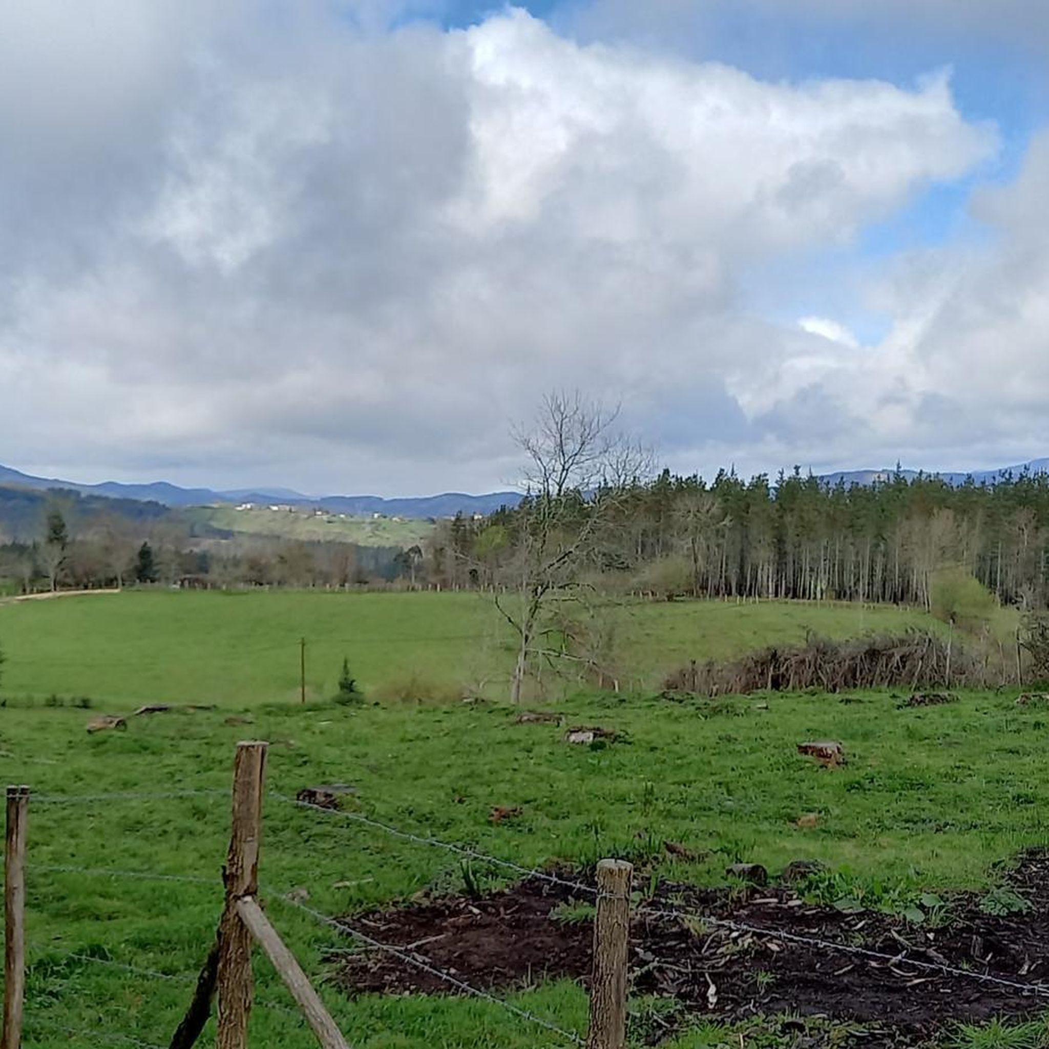
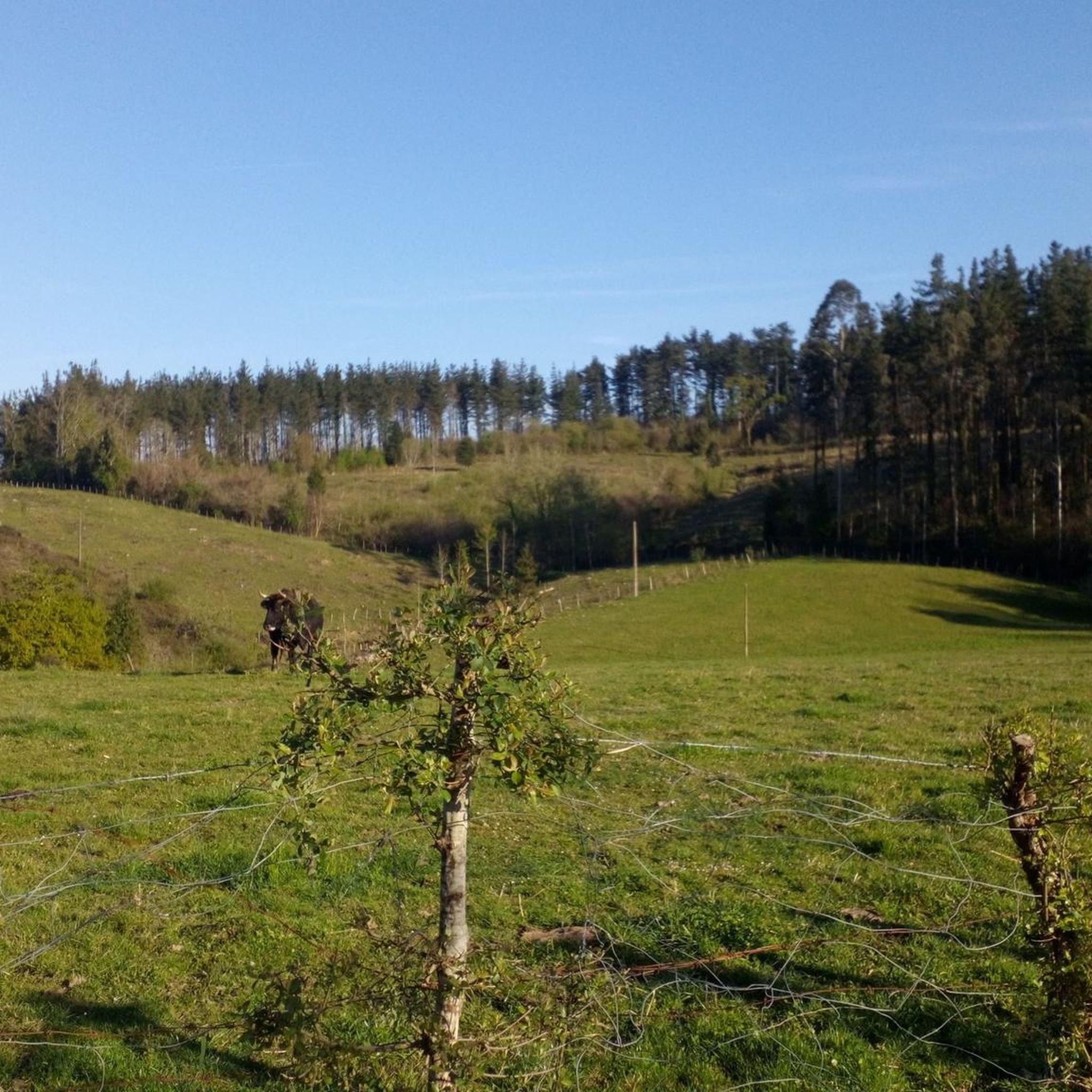
Jogging around Munitibar-Arbatzegi Gerrikaitz offers a diverse landscape for runners, characterized by rolling hills and varied terrain. The region features a mix of forested paths and open countryside, providing a range of running experiences. Elevation changes are common, with routes traversing both gentle slopes and more challenging ascents. This area provides opportunities for runners to explore the natural environment of the Basque Country.
Best jogging routes around Munitibar-Arbatzegi Gerrikaitz
- The most popular jogging route is Running loop from Ajangiz,…
Last updated: October 7, 2026
38
runners
16.7km
02:15
570m
570m
Hard run. Very good fitness required. Mostly paved surfaces. Suitable for all skill levels.
20
runners
5.72km
00:37
90m
90m
Moderate run. Good fitness required. Mostly paved surfaces. Suitable for all skill levels.

21
runners
22.2km
03:07
1,000m
1,000m
Hard run. Very good fitness required. Mostly paved surfaces. Suitable for all skill levels.
15
runners
24.0km
02:54
750m
750m
Hard run. Very good fitness required. Mostly paved surfaces. Suitable for all skill levels.
17
runners
20.3km
02:59
1,050m
1,040m
Hard run. Very good fitness required. Sure-footedness, sturdy shoes and alpine experience required.
Get access to more routes and recommendations from other explorers.
Already have an account?
Our route recommendations are based on thousands of hikes, rides, and runs completed by other people on komoot.
Start today with a free account
Your next adventure awaits.
Popular around Munitibar-Arbatzegi Gerrikaitz

Other adventures around Munitibar-Arbatzegi Gerrikaitz

Tips from the Community

Nice picnic area, located in the forest, with picnic areas and barbecues. It is an ideal place to enjoy nature.
1
0
Located between green hills, the municipality of Garay is part of the Duranguesado region, in Vizcaya. It is located on the slopes of the Oiz massif.
1
0
Located above the neighborhood of Sarria, this summit is located west of Mount Gaztelu. It has a height of 604 meters above sea level.
1
0

Within the historic center of Markina-Xemein you can pass by this baroque-style church, which also has a convent attached to it.
0
0

Small hermitage located on a hill at 791 meters above sea level, near the top of Monte Oiz. It is a place of great devotion and tradition, and offers stunning panoramic views of the surrounding valleys and mountains.
1
0

This trail is wonderful but difficult. At some points it is very steep with many large stones. If you're going down, it may be more fun than trying to climb it. This is true singletrack and requires a good bike and strong legs.
2
0
Nice trail along the edge of a tree farm. It can get overgrown at times and when wet it can be difficult, but overall a good trail.
0
0
Frequently Asked Questions
How many running routes are available in Munitibar-Arbatzegi Gerrikaitz?
There are over 150 running routes around Munitibar-Arbatzegi Gerrikaitz, offering a wide range of options for all skill levels. You'll find trails suitable for short, leisurely jogs as well as longer, more challenging runs.
Are there easy running trails suitable for beginners in Munitibar-Arbatzegi Gerrikaitz?
Yes, Munitibar-Arbatzegi Gerrikaitz offers several easy running trails. For a pleasant and moderate run, consider the Running loop from Ajangiz, which is 3.5 miles (5.7 km) long and takes about 35 minutes to complete.
What kind of terrain can I expect on the jogging routes in this region?
The jogging routes in Munitibar-Arbatzegi Gerrikaitz feature a diverse landscape, characterized by rolling hills, varied elevation, and a mix of forested paths and open countryside. You'll encounter both gentle slopes and more challenging ascents, providing a dynamic running experience.
Are there any circular running routes in Munitibar-Arbatzegi Gerrikaitz?
Many of the running routes in the area are circular, allowing you to start and finish at the same point. An example is the Mount Oiz Summit – Monte Oiz loop from Garai, a challenging 14.8-mile (23.8 km) trail through mountainous terrain.
What are some interesting landmarks or natural attractions I can see while jogging?
While jogging, you can discover several points of interest. The Navárniz Village – Santimamiñe Cave and Chapel loop from Maruelezako Oppiduma, for instance, passes by cultural sites. Other notable attractions in the wider region include the unique Oma Forest and the historic Monastery of Santa María de Zenarruza.
Are there any challenging long-distance running trails in the area?
Yes, for experienced runners seeking a challenge, there are several difficult long-distance trails. The Arkedi Trail – Hermitage of San Cristóbal loop from Ibarruri is a demanding 13.8-mile (22.2 km) path with significant elevation gain, passing by cultural landmarks.
What do other runners say about the trails in Munitibar-Arbatzegi Gerrikaitz?
The running routes in Munitibar-Arbatzegi Gerrikaitz are highly rated by the komoot community, with an average score of 4.5 stars from over 20 reviews. Many runners praise the varied terrain, from forested sections to open rural paths, and the options available for different ability levels.
Are there any routes that offer views of the surrounding landscape?
Absolutely. Given the region's rolling hills and mountainous terrain, many routes provide scenic vistas. The Mount Oiz Summit – Monte Oiz loop from Garai, for example, leads through mountainous areas, likely offering expansive views. Additionally, the Balcón de Bizkaia Viewpoint is a popular spot for panoramic scenery.
Can I find routes that pass through villages or offer a glimpse of local life?
Yes, some routes will take you through or near local villages, offering a chance to experience the Basque Country's charm. The Navárniz Village – Santimamiñe Cave and Chapel loop from Maruelezako Oppiduma is a good example, connecting you with local settlements and historical sites.
Are there any routes that explore the natural heritage of the region?
The region is rich in natural heritage. You can explore areas like the Oma Forest, known for its painted trees, or discover the Ereño Marble Quarries. Many trails weave through these natural landscapes, offering a unique running experience.
What is the longest running route available in Munitibar-Arbatzegi Gerrikaitz?
Among the highlighted routes, the Mount Oiz Summit – Monte Oiz loop from Garai is one of the longest, covering 14.8 miles (23.8 km). This challenging trail is ideal for those looking for a significant distance run.
Most popular routes around Munitibar-Arbatzegi Gerrikaitz
Most popular attractions around Munitibar-Arbatzegi Gerrikaitz

Get inspired with the komoot mobile app


Explore more
Browse the best Running Trails & Routes in other regions.
