The 5 Most Amazing Peaks around Castelluccio Inferiore
Best mountain peaks around Castelluccio Inferiore are found within the Pollino National Park, offering access to Southern Italy's impressive mountain ranges. The Pollino massif features prominent summits known for their natural beauty and diverse ecosystems. This region provides extensive views and unique botanical interests, including ancient Loricato Pines. Castelluccio Inferiore serves as a base for exploring these natural wonders.
Best mountain peaks around Castelluccio Inferiore
- The most popular mountain peaks is Monte Santa Croce Summit, a summit that offers…
Last updated: June 29, 2026
Monte Santa Croce Summit
Highlight • Summit
Translated by Google •
Tip by

Ascent to Piano Ruggio
Highlight (Segment) • Climb
Translated by Google •
Tip by

Sign up now to discover places like this
Get recommendations on the best single tracks, peaks, & plenty of other exciting outdoor places.
Sign up for free
Pollino National Park
Highlight • Natural Monument
Translated by Google •
Tip by

Pizzo Falcone summit
Highlight • Summit
this peak can be reached with a medium-difficulty trek starting from the Favino refuge.
Translated by Google •
Tip by

View to Monte Alpi (1900 m)
Highlight • Viewpoint
Translated by Google •
Tip by

Start today with a free account
Your next adventure awaits.
Login or Signup
Tips from the Community

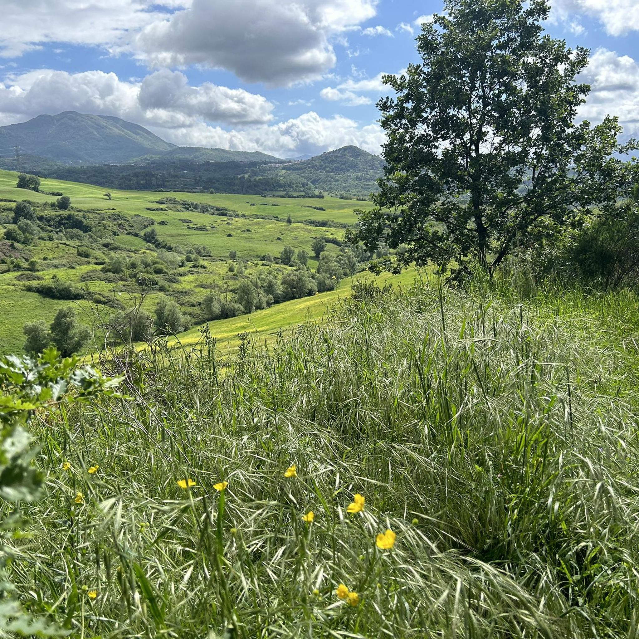
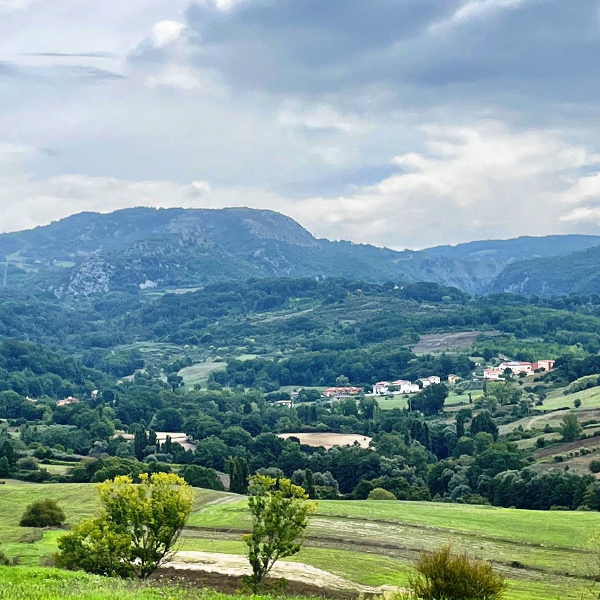
A wonderful "panoramic balcony" on the Pollino National Park. this peak can be reached with a medium-difficulty trek starting from the Favino refuge.
2
0

It is the largest national park in Italy and is located between Calabria and Basilicata. The headquarters of the park is located in the municipality of Rotonda (PZ)
2
0

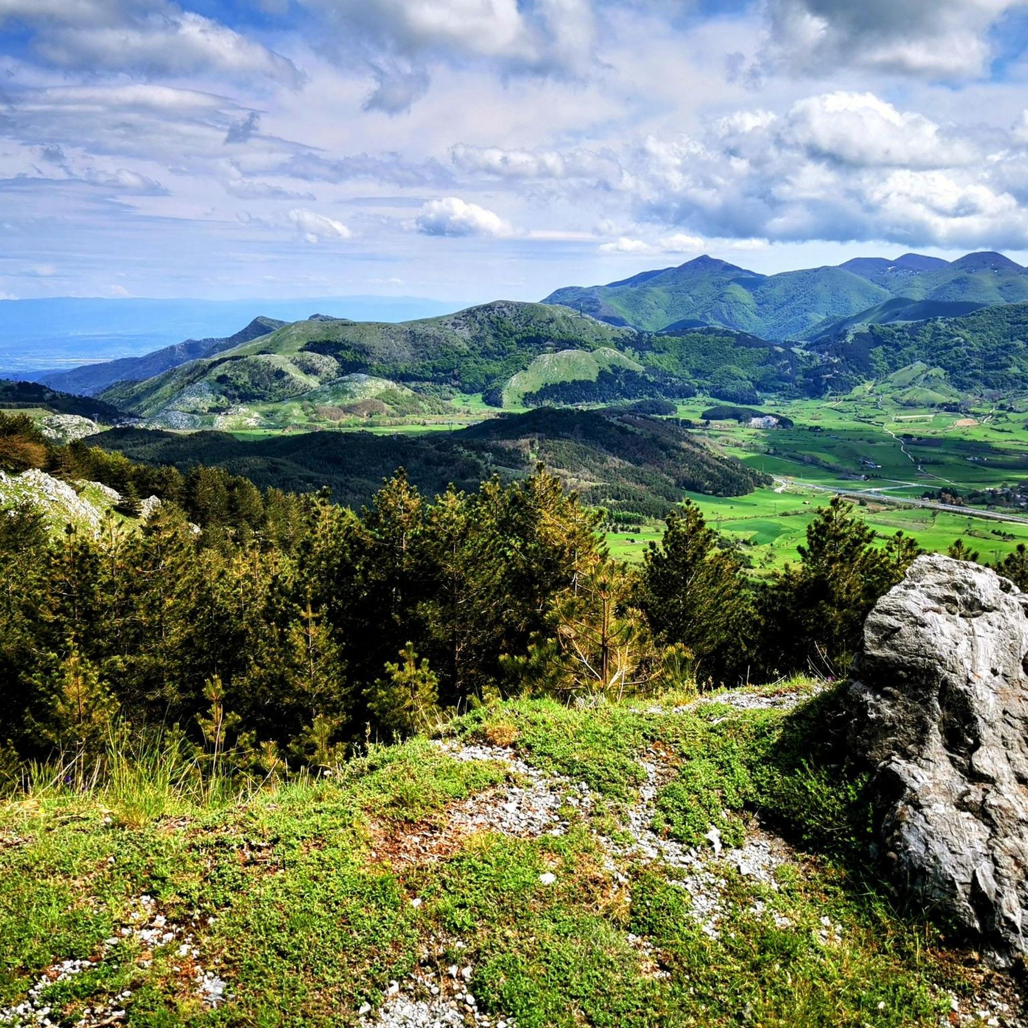
Ideal summit also to be able to camp out with the right precautions. The view is very beautiful, you can see Monte Raparo, Monte Sirino and Serra La Spina.
3
0

hello is it easy to reach from viggianello?
0
0


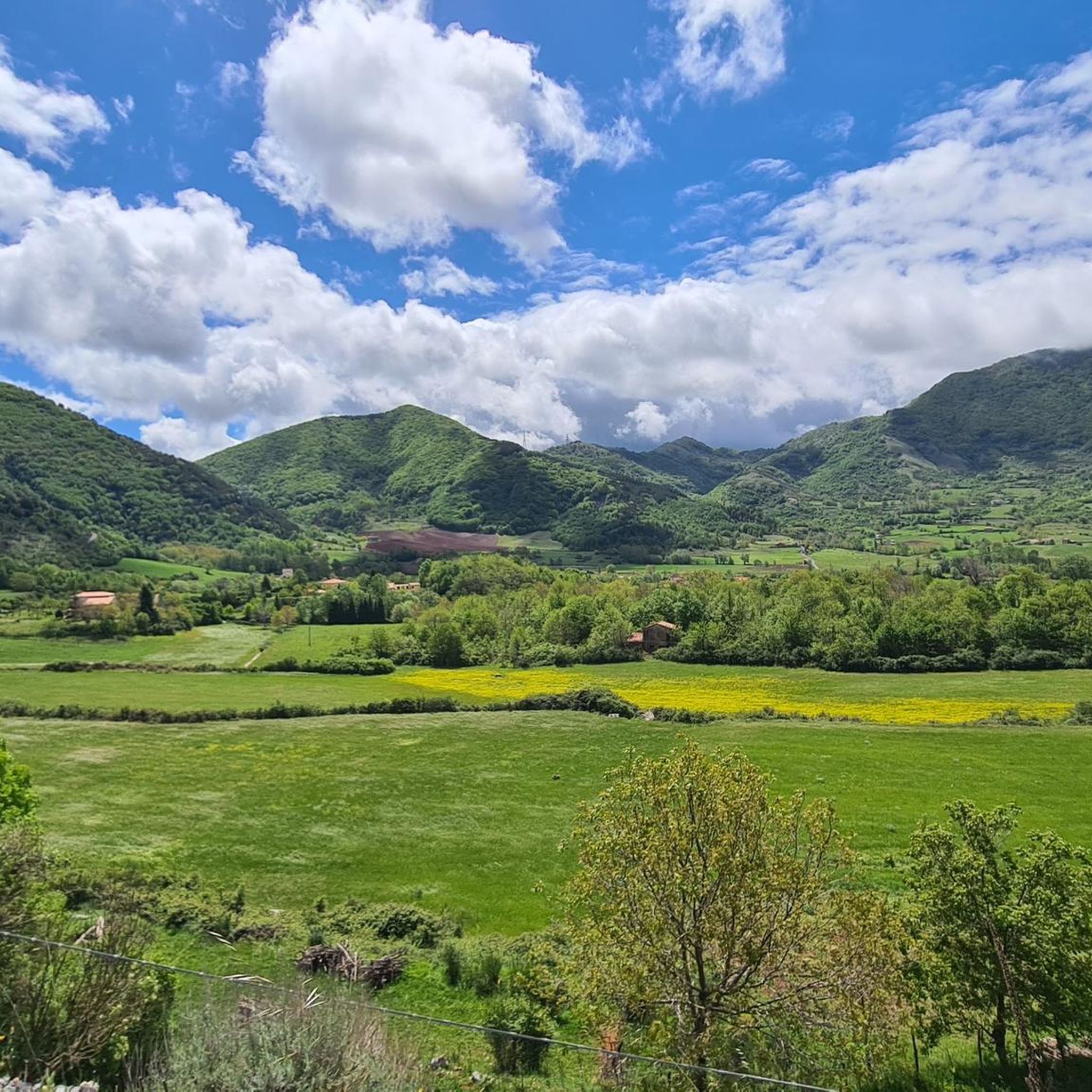
You drive around the "Monte Alpi" on the west side. The different rocks can be clearly seen. It's really mountainous and beautiful up here
0
0

The Pollino National Park extends over 192,565.00 hectares of land and is located between two regions, Basilicata, also known as Lucania, and Calabria. It also ranges from the Tyrrhenian Sea to the Ionian Sea, from Cozzo del Pellegrino to Serra Dolcedorme, from the Piani di Campolongo, Novacco, and Lanzo, to the Piani del Pollino, from the Argentino and Abatemarco rivers, to the Lao and Raganello gorges, to the Peschiera streams. and Frido. The entire Pollino area is formed by the Pollino and Orsomarso massifs. The mountain range that is part of the southern Apennines on the border with Basilicata and Calabria boasts the highest peaks in Southern Italy which remain snow-capped for a long period that begins in November and ends in May with the melt of the first snow. The height of its peaks reaches an altitude of 2,200 meters above sea level. The natural area that enjoys great prestige is composed of dolomitic rocks, limestone bastions, fault walls of architectural origin, cliffs, very deep gorges, karst caves, gables of volcanic origin, sinkholes, plateaus, meadows, high-altitude pastures, moraine accumulations, glacial cirques and erratic boulders.
0
1
Frequently Asked Questions
What are some of the most prominent mountain peaks accessible from Castelluccio Inferiore?
The Pollino National Park, near Castelluccio Inferiore, features several impressive peaks. Serra Dolcedorme (2,267 m) is the highest in Southern Italy (excluding Mount Etna), offering unparalleled views. Monte Pollino (2,248 m) is the park's namesake, known for its ancient Loricato Pines. Other significant peaks include Serra del Prete (2,181 m) and Serra di Crispo (2,054 m). For community favorites, consider Monte Santa Croce Summit, which offers beautiful views of Monte Raparo and Monte Sirino, and Pizzo Falcone summit, described as a panoramic balcony over the park.
What unique natural features can I expect to see on the mountain peaks around Castelluccio Inferiore?
The region is renowned for its unique natural features. You can encounter the ancient Loricato Pines (Pinus leucodermis), often called 'living fossils,' particularly on Monte Pollino. These resilient trees thrive at high altitudes and are a symbol of the park. The landscape also features diverse ecosystems, including dolomitic rocks, deep gorges, karst caves, and lush plateaus, all contributing to spectacular panoramic views that can stretch from the Ionian to the Tyrrhenian Seas on clear days.
Are there challenging climbs or routes for experienced hikers near Castelluccio Inferiore?
Yes, the area offers challenging routes for experienced hikers. For example, the Ascent to Piano Ruggio, which can lead to Monte Pollino, is a tough climb with sections reaching a 15% gradient. The overall climb to Monte Pollino from Colle dell’Impiso is an 11 km route with an average gradient of almost 9%. These routes are well worth the effort for the extensive views across the Lucanian Apennines to the Sila, and from the Ionian to the Tyrrhenian seas.
What is the best time of year to visit the mountain peaks in Pollino National Park for hiking?
The best time for hiking the mountain peaks in Pollino National Park is generally from late spring to early autumn (May to October). During this period, the weather is more stable, and the trails are typically free of snow, making for safer and more enjoyable conditions. The highest peaks, like Serra Dolcedorme and Monte Pollino, remain snow-capped for a long period, usually from November to May.
Are there family-friendly hiking options or easy trails around Castelluccio Inferiore?
While many peaks offer challenging climbs, the Pollino National Park also provides a range of hiking trails suitable for various fitness levels, including easier walks. For specific easy routes, you can explore options like the Cascata Paraturo trail (3.5 km) or the Peschiera River Waterfall loop (4.2 km), both listed as easy in the nearby hiking guide.
Can I bring my dog on the hiking trails in Pollino National Park?
The Pollino National Park generally welcomes dogs, but it's crucial to check specific regulations for individual trails or protected areas within the park. Always keep your dog on a leash, especially in areas with wildlife or livestock, and ensure you clean up after them. It's advisable to check the official park website or local visitor centers for the most up-to-date dog policies before your visit.
What other outdoor activities can I do near the mountain peaks around Castelluccio Inferiore?
Beyond hiking, the area around Castelluccio Inferiore offers diverse outdoor activities. You can find numerous running trails, such as the Laino Borgo – National Park of Pollino panoramic tour. Road cycling is also popular, with routes like the Colle dell'Impiso Loop from San Severino Lucano. These activities allow you to explore the varied landscapes of the Pollino National Park.
Where can I find accommodation or amenities like cafes and pubs in Castelluccio Inferiore?
Castelluccio Inferiore serves as an excellent base for exploring the Pollino National Park, offering various amenities. You'll find options for accommodation, as well as cafes and pubs within the town. For those planning longer excursions, some areas within the park, like Mezzana Salice (a hamlet of San Severino Lucano), also offer ideal accommodation close to excursion starting points.
Is it possible to camp near the mountain peaks in Pollino National Park?
Yes, it is possible to camp in certain areas, but always with appropriate precautions and adherence to park regulations. For instance, Monte Santa Croce Summit is noted as an ideal spot for camping. It's essential to check with the Pollino National Park authorities for specific rules regarding wild camping or designated camping areas to ensure a safe and responsible experience.
What kind of views can I expect from the viewpoints around Castelluccio Inferiore?
The viewpoints around Castelluccio Inferiore, especially from the higher peaks, offer truly spectacular panoramas. From summits like Monte Pollino and Serra Dolcedorme, on clear days, you can often see vast stretches of landscape extending from the Ionian Sea to the Tyrrhenian Sea. From Ascent to Piano Ruggio, the view encompasses the Lucanian Apennines and the Sila mountain range.
How can I access the hiking trails and mountain peaks from Castelluccio Inferiore?
Castelluccio Inferiore is well-positioned as a gateway to the Pollino National Park. Many trailheads are accessible by car from the town. For some routes, like the ascent to Monte Pollino, you might drive to points such as Colle dell’Impiso. While public transport options might be limited directly to all trailheads, local services or private transfers can help you reach starting points for your mountain adventures.
What is the elevation range of the mountain peaks in Pollino National Park?
The mountain peaks in Pollino National Park, accessible from Castelluccio Inferiore, boast significant elevations. Several summits exceed 2,000 meters (6,561 ft). The highest peak, Serra Dolcedorme, reaches 2,267 meters (7,438 ft), while Monte Pollino is 2,248 meters (7,375 ft). These high altitudes contribute to the extensive views and diverse ecosystems found in the park.
Most popular routes around Castelluccio Inferiore
Most popular attractions around Castelluccio Inferiore

Get inspired with the komoot mobile app


Explore more
See even more amazing summits around Castelluccio Inferiore with these guides:
