The best running trails around Castelluccio Inferiore
5.0
(1)
74
runners
8
runs
Jogging routes around Castelluccio Inferiore traverse the diverse landscapes of the Pollino National Park, offering varied terrain for runners. The region is characterized by its mountainous environment, with trails winding through lush beech forests and along the Mercure Valley. Joggers can experience routes that follow the Peschiera River, leading to natural features like the Peschiera River Waterfall, or ascend to higher elevations within the park. This area provides a range of running experiences from riverside paths to more challenging mountain trails.
Best jogging routes around Castelluccio Inferiore
- The most popular jogging route is Laino Borgo – National Park of Pollino – panoramic tour, a 3.3 miles (5.3 km) trail that takes about 45 minutes to complete. This moderate route offers panoramic views within the national park.
- Another top favourite among local runners is San Severino Lucano and the Peschiera River waterfall - Pollino National Park, a moderate 7.9 miles (12.7 km) path. This route features the Peschiera River waterfall and follows the river through the valley.
- Local runners also love the San Severino Lucano – San Severino Lucano loop from San Severino Lucano, a 7.6 miles (12.2 km) trail leading through varied terrain with significant elevation gain, often completed in about 1 hour 30 minutes.
- Jogging around Castelluccio Inferiore is defined by mountainous scenery, river valleys, and dense beech forests. The network offers options for different ability levels, from moderate riverside paths to more difficult climbs.
- The routes in Castelluccio Inferiore are highly rated by the komoot community with an average score of 5.0 stars from over 1 review. More than 60 runners have used komoot to explore Castelluccio Inferiore's varied terrain.
Last updated: July 4, 2026
5.29km
00:43
200m
200m
Moderate run. Good fitness required. Mostly paved surfaces. Suitable for all skill levels.
12.7km
01:38
290m
290m
Jog Sentiero Italia: Stage T03, a moderate 7.9-mile route with 952 feet of gain in Pollino National Park, featuring the Peschiera River Wate

Sign up for free
5.0
(1)
46
runners
12.2km
01:29
350m
350m
Hard run. Very good fitness required. Mostly paved surfaces. Suitable for all skill levels.
16
runners
28.0km
03:23
880m
880m
Hard run. Very good fitness required. Mostly paved surfaces. Suitable for all skill levels.
7
runners
11.2km
01:14
250m
250m
Moderate run. Good fitness required. Mostly paved surfaces. Suitable for all skill levels.
Get access to more routes and recommendations from other explorers.
Sign up for free
Already have an account?
Our route recommendations are based on thousands of hikes, rides, and runs completed by other people on komoot.
Start today with a free account
Your next adventure awaits.
Login or Signup
Tips from the Community


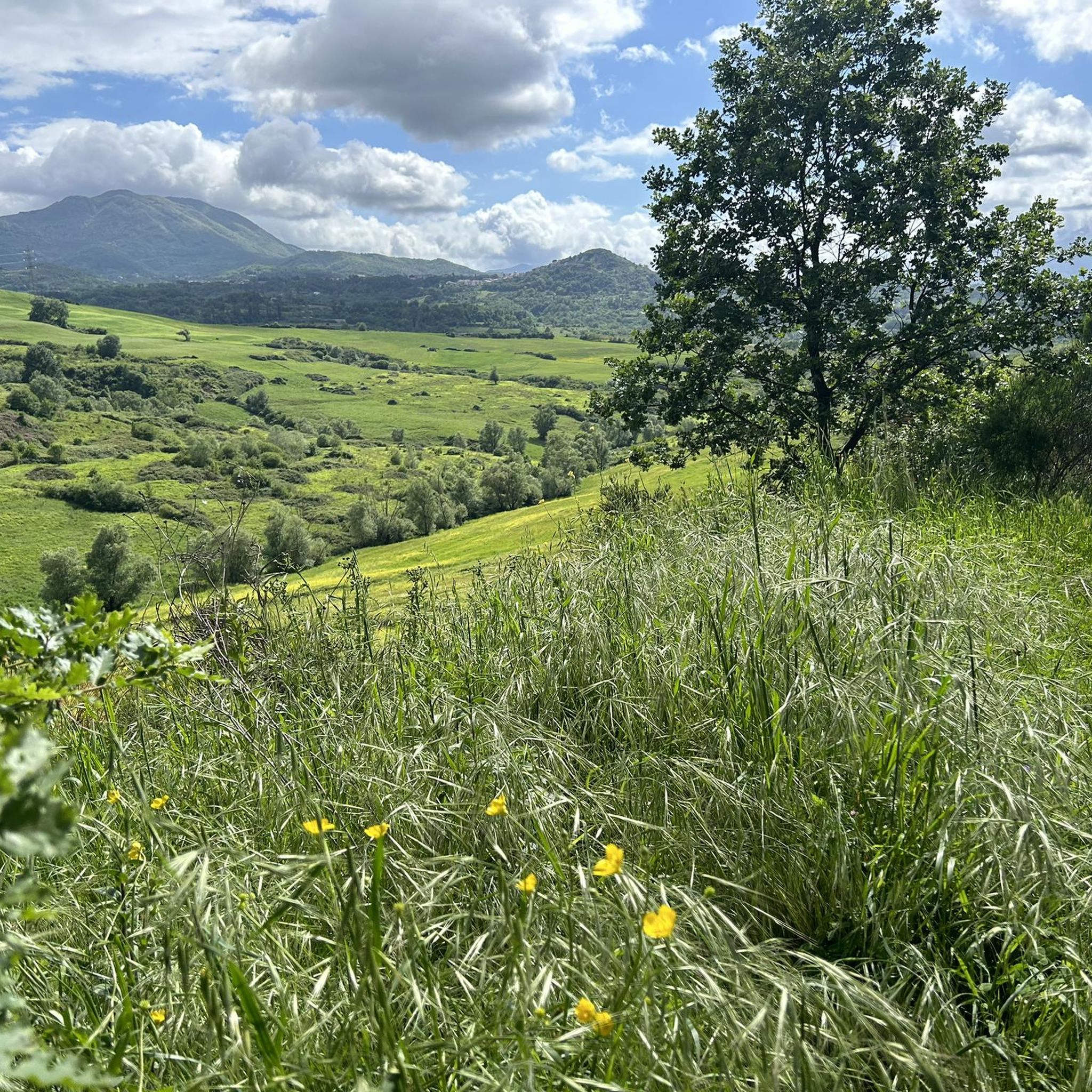
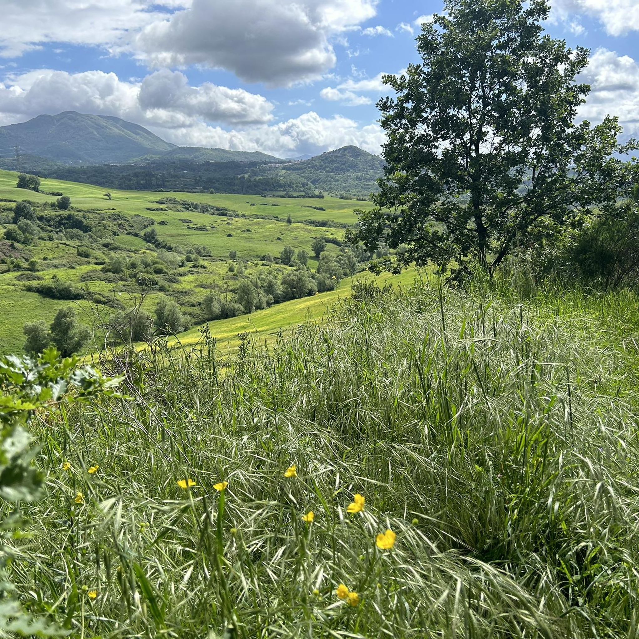
Right along the car road , easy to reach for any leve of fitness and enjoy a peaceful place
0
0

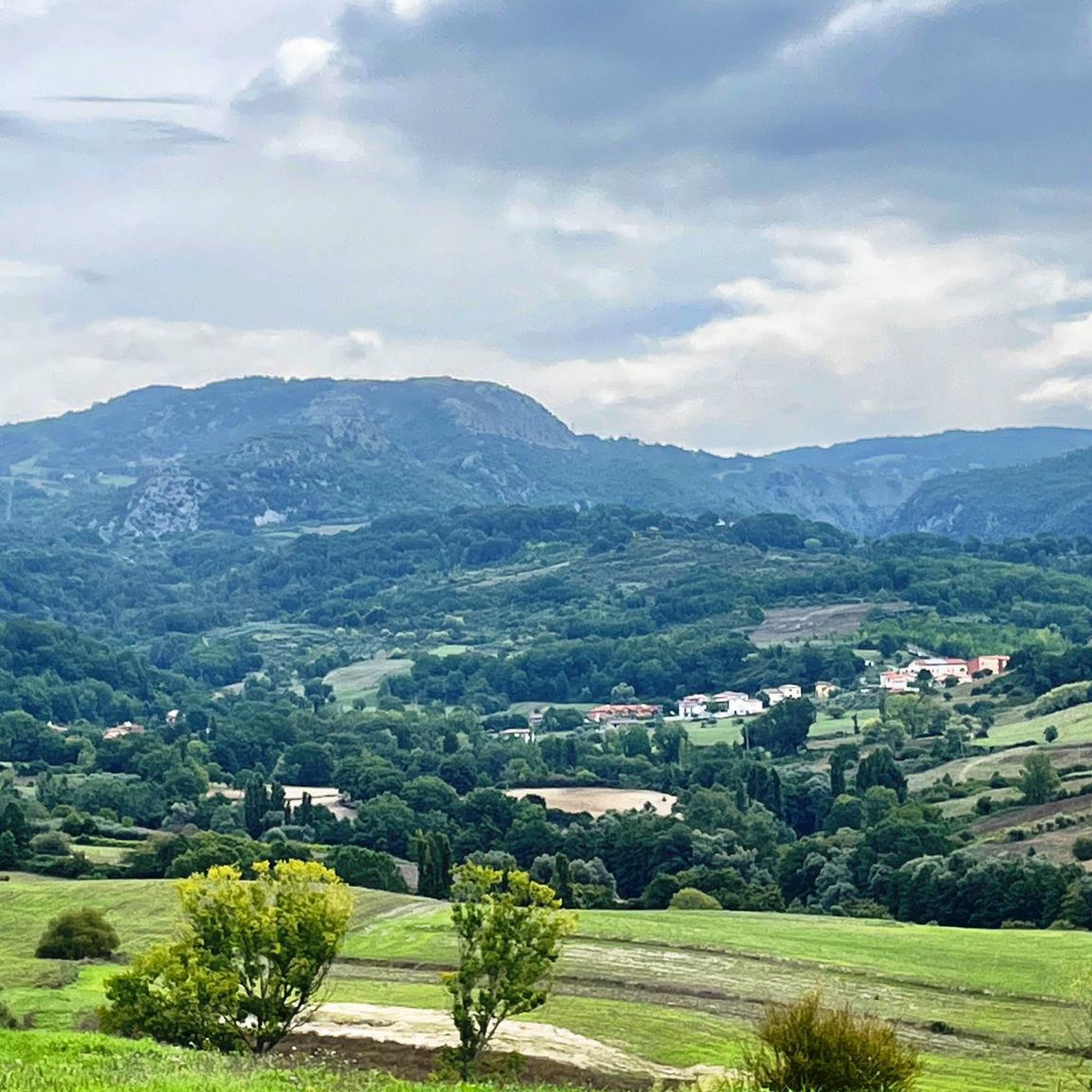
Town in the middle of the Pollino park, small but well kept. Small square of the tavern of the Wolf's tavern with fountain on the opposite side. If you ask for information the people are very friendly
0
0

This small waterfall is created by a leap from the Peschiera river. Here people gather to refresh themselves and spend some time immersed in nature.
0
0
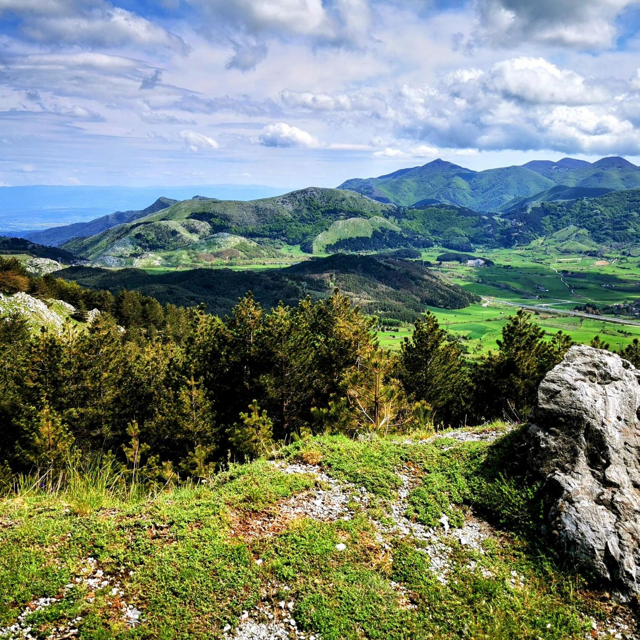
San Severino is located in the heart of the Pollino National Park. Around the village you can go on excursions on foot, on horseback or by bike. It is a small village, but full of opportunities.
0
0

San Severino is located in the heart of the Pollino National Park. Around the village you can go on excursions on foot, on horseback or by bike. It is a small village, but full of opportunities.
4
0
This small waterfall is created by a leap from the Peschiera river. Here people gather to refresh themselves and spend some time immersed in nature.
6
0

Laino Borgo, formerly known as Laino Bruzio, takes its name from the river Lao. The village was abandoned in 1982 due to inaccessibility of the town following seismic phenomena. Today it has 1760 inhabitants.
1
0
Frequently Asked Questions
What kind of terrain can I expect on the running routes around Castelluccio Inferiore?
The running routes in Castelluccio Inferiore offer a diverse range of terrain, reflecting its location within the Pollino National Park and the Mercure Valley. You'll find paths winding through lush beech forests, alongside the Peschiera River, and ascending mountainous landscapes. Routes vary from moderate riverside paths to more challenging climbs with significant elevation gain, providing options for different fitness levels.
Are there any easy running routes suitable for beginners or a relaxed jog?
While many routes offer moderate challenges, the area provides options for various abilities. For a moderate experience, consider the Laino Borgo – National Park of Pollino – panoramic tour. This 5.3 km route takes about 45 minutes and offers scenic views without extreme difficulty. Another moderate option is the Running loop from Latronico, which covers about 10.1 km.
Can I find running routes that feature natural landmarks or viewpoints?
Absolutely! Many running routes in the region lead to or pass by notable natural features. For instance, the San Severino Lucano and the Peschiera River waterfall - Pollino National Park route will take you directly to the refreshing Peschiera River Waterfall. You can also find routes offering panoramic views, such as those leading to View to Monte Alpi (1900 m) or towards the Monte Santa Croce Summit.
Are there any circular running routes available?
Yes, there are several circular running routes. A challenging option is the San Severino Lucano – San Severino Lucano loop from San Severino Lucano, a 12.2 km trail with significant elevation gain. Another demanding circular route is the Three Borders – San Severino Lucano loop from San Severino Lucano, spanning 26.5 km.
What do other runners say about the jogging routes in Castelluccio Inferiore?
The running routes around Castelluccio Inferiore are highly regarded by the komoot community, holding an average rating of 5.0 stars. Over 60 runners have explored the varied terrain using komoot, often praising the scenic mountainous landscapes, the tranquility of the beech forests, and the refreshing riverside paths, particularly those along the Mercure Valley.
Are the running trails in Pollino National Park suitable for families?
The Pollino National Park offers a variety of trails, and while some are challenging, there are options that can be enjoyed by families. Routes along the Mercure Valley and near the Peschiera River Waterfall tend to be more accessible and offer picturesque spots for breaks. It's advisable to check the specific route details for distance and elevation to ensure it matches your family's activity level.
Are dogs allowed on the running trails in Pollino National Park?
As Castelluccio Inferiore is located within the Pollino National Park, specific regulations regarding dogs on trails may apply. Generally, dogs are permitted on many trails but often require to be kept on a leash to protect wildlife and ensure the safety of other visitors. It's always recommended to check the latest park regulations before heading out with your dog.
Is there parking available at the trailheads for these running routes?
While specific parking details for every trailhead are not always listed, areas popular for outdoor activities like the Peschiera River Waterfall often have designated parking facilities. For routes starting in or near towns like San Severino Lucano or Laino Borgo, you can typically find parking within the village or at common starting points for trails.
Do I need a permit to jog or run in Pollino National Park?
Generally, for recreational activities like jogging or running on established trails within Pollino National Park, a specific permit is not required for individual visitors. However, for organized events or certain restricted areas, permits might be necessary. It's always a good idea to consult the official Pollino National Park website for the most current regulations if you have specific concerns.
What is the best time of year to go running in Castelluccio Inferiore?
The best time to go running in Castelluccio Inferiore, given its mountainous setting within Pollino National Park, is typically during the spring, summer, and early autumn months. During these seasons, the weather is generally mild and pleasant, and the natural landscapes are at their most vibrant. Winter can offer unique snowy running experiences, but some higher elevation trails may be inaccessible or require specialized gear.
How many running routes are available around Castelluccio Inferiore on komoot?
Komoot currently lists a selection of 5 dedicated running routes around Castelluccio Inferiore. These include a mix of moderate and difficult trails, allowing runners to choose based on their preferred challenge and distance.
Most popular routes around Castelluccio Inferiore
Most popular attractions around Castelluccio Inferiore

Get inspired with the komoot mobile app


Explore more
Browse the best Running Trails & Routes in other regions.
