The 20 Most Amazing Peaks in Montes Obarenes-San Zadornil
Best mountain peaks in Montes Obarenes-San Zadornil are found within a natural park characterized by dramatic geological formations and rich biodiversity. This region, forming the southernmost foothills of the Cantabrian Mountains, acts as a natural wall overlooking the plains of La Bureba. The park features deep gorges and canyons carved by rivers, along with diverse forests. Its unique location, straddling Atlantic and Mediterranean biogeographical regions, contributes to varied landscapes and offers numerous viewpoints.
Best mountain peaks in Montes Obarenes-San Zadornil
…Last updated: July 13, 2026
Humion
Highlight • Summit
Translated by Google •
Tip by

El Cueto
Highlight • Summit
Translated by Google •
Tip by
Sign up now to discover places like this
Get recommendations on the best single tracks, peaks, & plenty of other exciting outdoor places.
Sign up for free
Flower
Highlight • Summit
Translated by Google •
Tip by
MesaDeOña (summit)
Highlight • Summit
Translated by Google •
Tip by
Summit of Pan Perdido
Highlight • Summit
Translated by Google •
Tip by
Sign up for free to discover even more peaks in Montes Obarenes-San Zadornil.
Sign up for free
Already have an account?
Start today with a free account
Your next adventure awaits.
Login or Signup
Popular around Montes Obarenes-San Zadornil
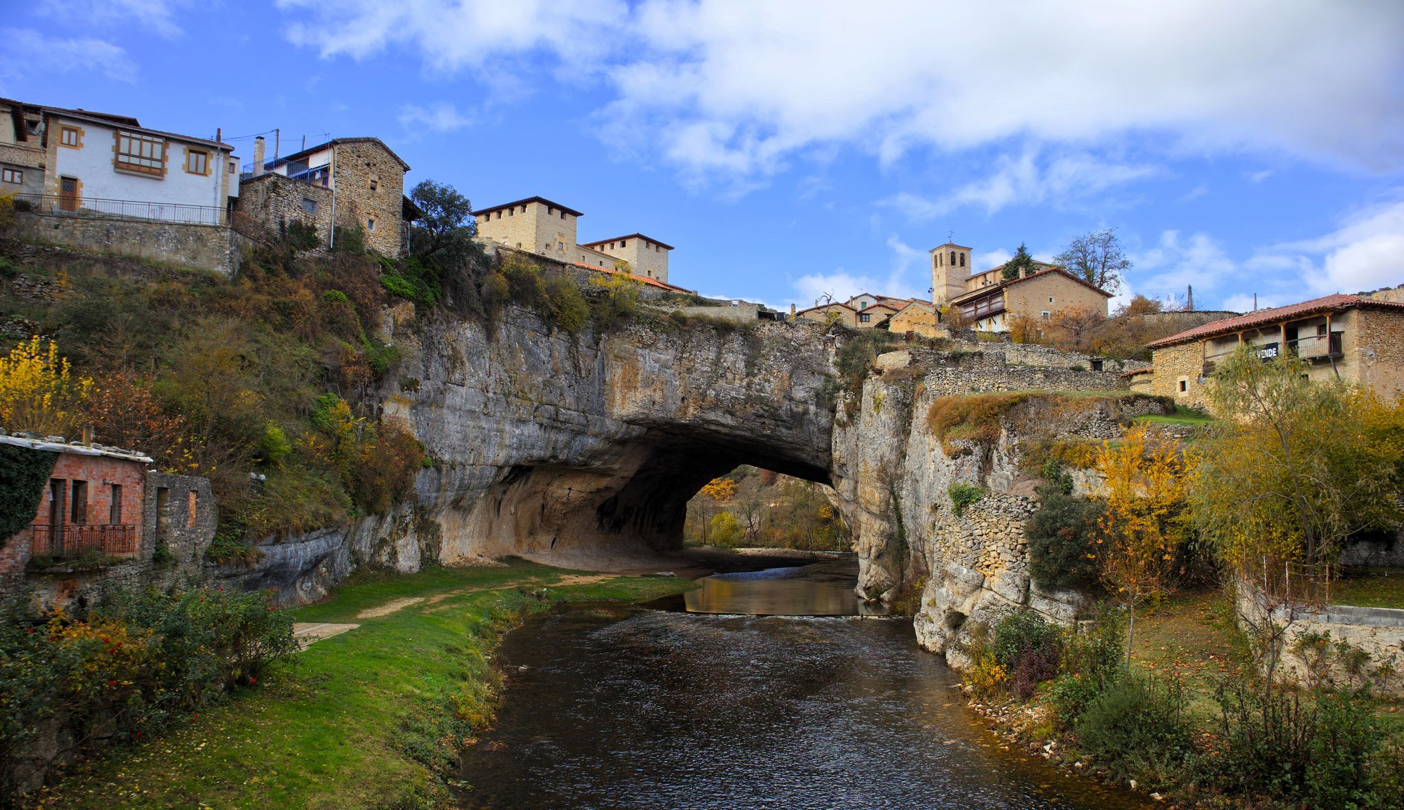
Endless valleys and historic villages – Route of the Senses (GR 85)
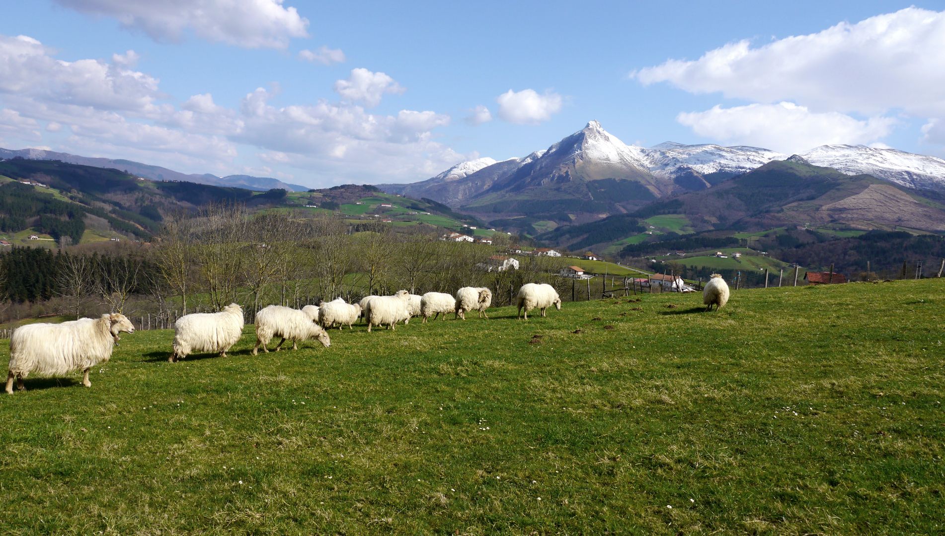
Mountains with tradition in Spain’s Basque Country – Shepherd's Path (GR 282)
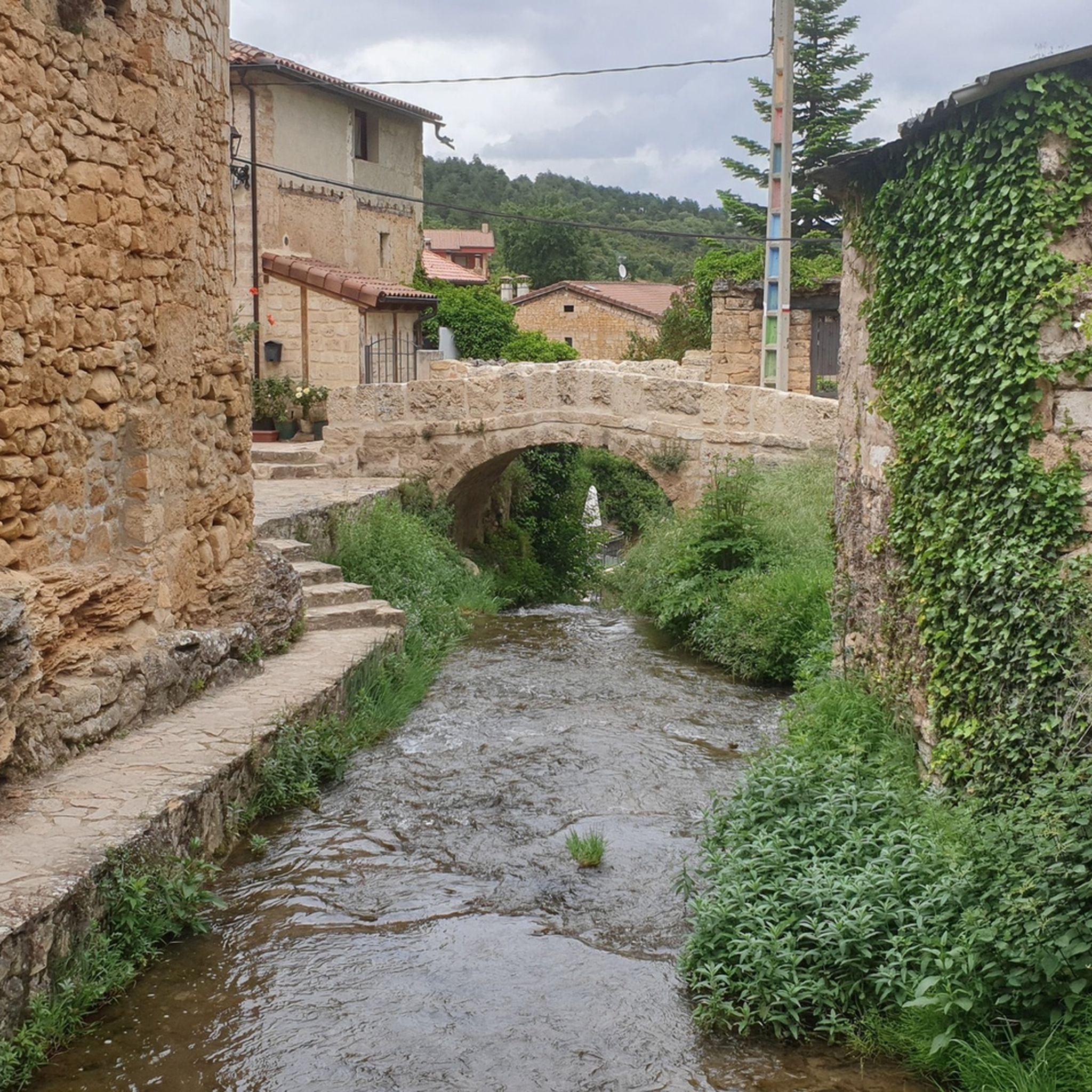
Hiking in Montes Obarenes-San Zadornil
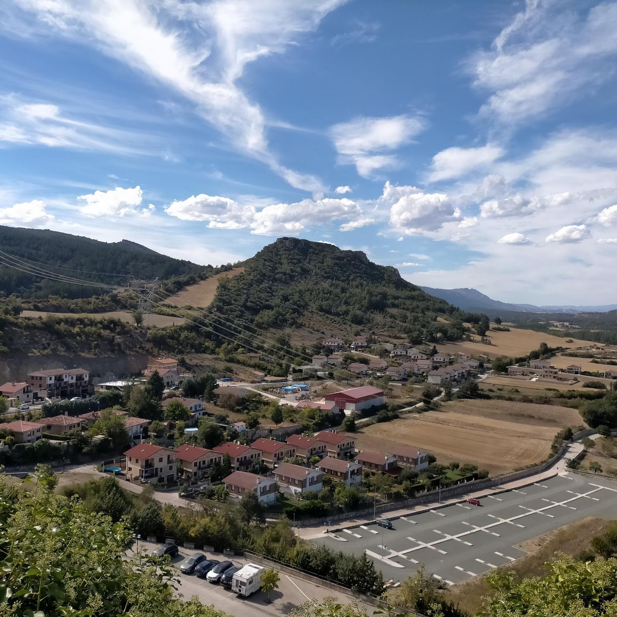
MTB Trails in Montes Obarenes-San Zadornil
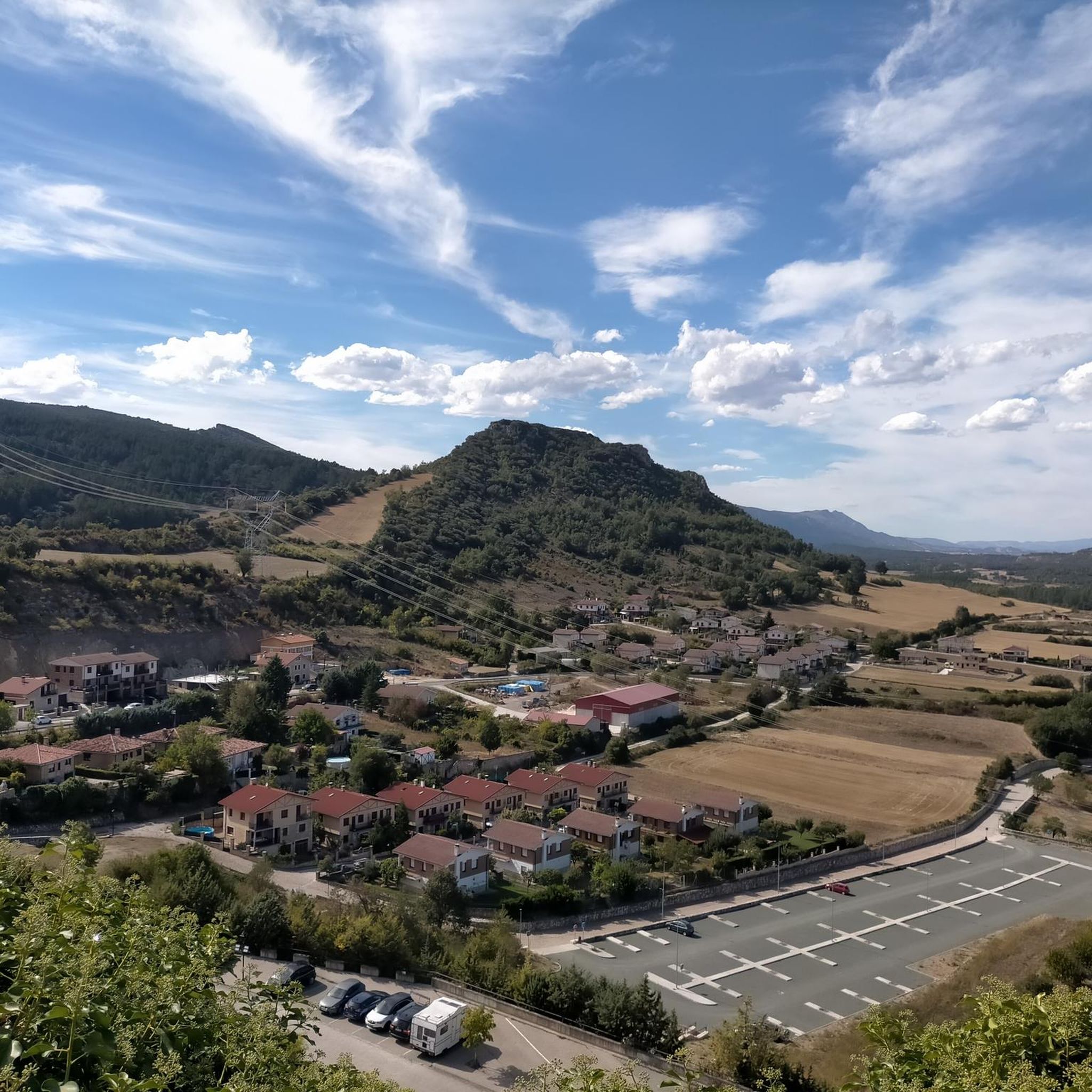
Road Cycling Routes in Montes Obarenes-San Zadornil
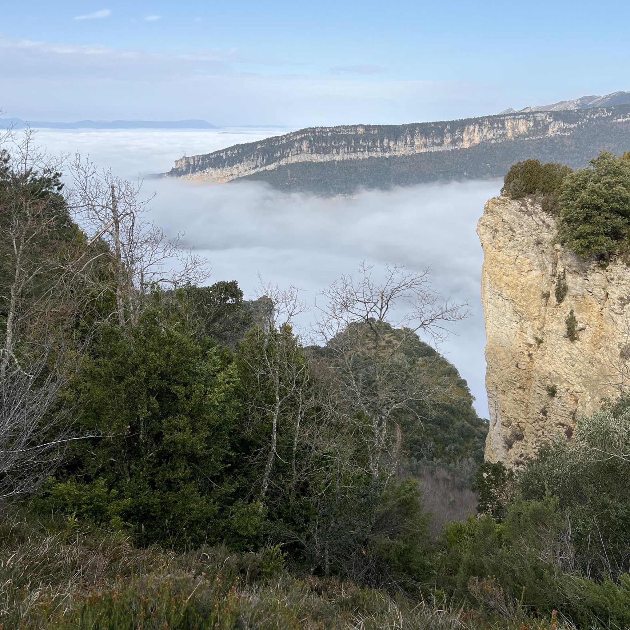
Running Trails in Montes Obarenes-San Zadornil
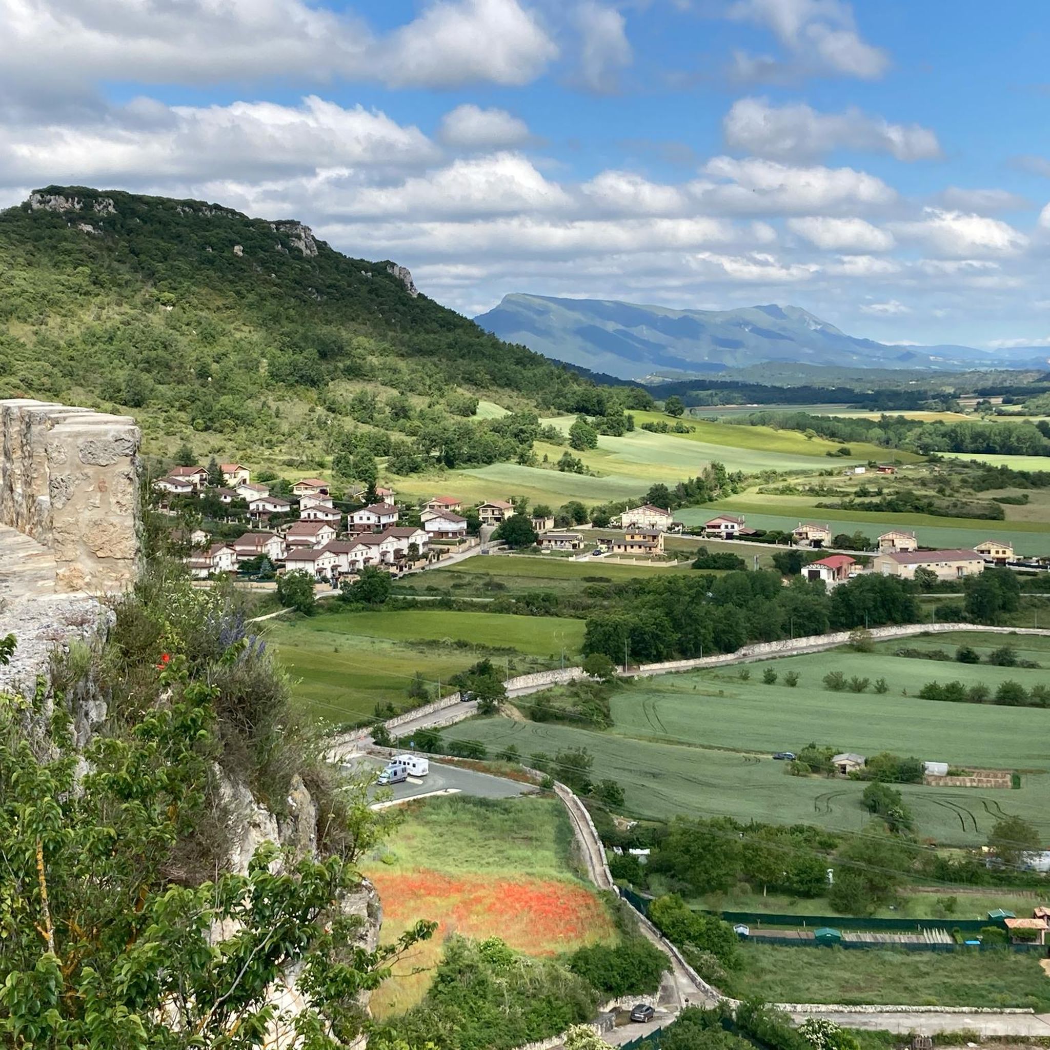
Cycling in Montes Obarenes-San Zadornil

Gravel biking in Montes Obarenes-San Zadornil


Tips from the Community

One of the most beautiful mountains in the mid- and distant surroundings.
0
0
A good route, coming from the south.
2
0

El Cueto is a mountain with a huge stone at its top that separates the two valleys on either side of the mountain range. The path winds through the middle of the stone where you have to be careful in a spectacular environment.
0
0

In this place there is a large pile of stones and a sign indicating the "official" peak, but it is much more beautiful 500 meters further on, when you find the mailbox and the viewpoint.
1
0
Following the PR from Portillo de Busto, and crossing a spectacular crack in the rock, you reach this peak with impressive views. The mailbox is a few meters behind, on some rocks that I did not dare to climb.
0
0
Not as impressive as the Humión, but it's also very cool, and it's close to the other's up/down path.
0
0
With its 1,437 meters, it is the highest of the Obarense mountains, and a true delight for the eyes. With a mailbox and a huge cross, you can't miss it!
2
0
Frequently Asked Questions
What are some of the most notable mountain peaks in Montes Obarenes-San Zadornil?
The Montes Obarenes-San Zadornil Natural Park features several prominent peaks. Among them, Humion stands as the highest at 1,437 meters, offering extensive panoramic views. Other significant peaks include El Cueto, known for its impressive vistas and a spectacular crack in the rock, and the Summit of Pan Perdido, which showcases the park's unique structural relief. Mancubo is notable as the easternmost summit, providing views over the Miranda de Ebro plains.
What is the highest mountain peak in Montes Obarenes-San Zadornil?
The highest mountain peak within the Montes Obarenes-San Zadornil Natural Park is Humion, reaching an elevation of 1,437 meters (4,715 ft). Its summit provides far-reaching panoramic views of the surrounding natural landscape.
What kind of views can I expect from the mountain peaks in this region?
From the mountain peaks, you can expect spectacular panoramic views of the park's dramatic landscape. This includes deep gorges and canyons carved by rivers like the Ebro, Oca, and Purón, diverse forests of beech, holm oak, and juniper, and the unique geological formations resulting from the transition between Atlantic and Mediterranean climates. Peaks like Humion and El Cueto are particularly noted for their impressive vistas.
What is the hiking difficulty like for the peaks in Montes Obarenes-San Zadornil?
The hiking difficulty for the peaks in Montes Obarenes-San Zadornil ranges from intermediate to challenging. Many summits, such as Humion, El Cueto, and Summit of Pan Perdido, are categorized as intermediate. However, some routes, like the one to El Cueto, involve challenging sections such as crossing a spectacular crack in the rock. The 'Por la Mesa de Oña Trail' is also described as a difficult route with significant elevation gain.
Are there family-friendly hiking trails near the mountain peaks?
Yes, while some peak ascents are challenging, the Montes Obarenes-San Zadornil region offers easier hiking options suitable for families. For instance, you can explore routes like the 'Frías – Tobera Waterfalls Viewpoint loop from Frías' or the 'MonasterioDeSanSalvador – Oña Gorge loop from Oña'. You can find more details on these and other easy hikes in the Easy hikes in Montes Obarenes-San Zadornil guide.
What other outdoor activities can I do near the mountain peaks in Montes Obarenes-San Zadornil?
Beyond hiking, the area around the mountain peaks in Montes Obarenes-San Zadornil is excellent for cycling. You can find various routes for gravel biking, such as the 'Oña Historic Town Center – Trespaderne loop from Oña', or explore challenging MTB trails like the 'Valle de Tobalina - circular from Frías'. For more information, check out the Gravel biking in Montes Obarenes-San Zadornil guide and the MTB Trails in Montes Obarenes-San Zadornil guide.
What unique natural features can be observed from the peaks?
From the peaks, you can observe the park's unique geological formations, characterized by a 'Jurassic-style structural relief' with hard limestone and softer marls. The region's position, straddling Atlantic and Mediterranean biogeographical zones, results in diverse flora, including beech, holm oak, and juniper forests. The rocky outcrops are also prime locations for birdwatching, home to numerous raptors like griffon vultures, golden eagles, and Egyptian vultures.
Are there any circular hiking routes that include some of the peaks?
Yes, there are circular hiking opportunities. For example, a 'Humión and Mancubo Circular Trail' is known, suggesting that the ascent of Humion can be combined with Mancubo for an extended and varied hiking experience.
What cultural or historical sites are near the mountain peaks?
The region surrounding the mountain peaks is rich in cultural heritage. Medieval towns like Oña, home to the impressive San Salvador monastery, and Frías, known for its castle and hanging houses over the Ebro River, are significant historical sites that often serve as gateways to the natural landscapes.
What is the best time to visit the Montes Obarenes-San Zadornil peaks?
The Montes Obarenes-San Zadornil Natural Park can be enjoyed throughout much of the year. Spring and autumn generally offer pleasant temperatures and vibrant landscapes, ideal for hiking and observing the diverse flora. Summer is also suitable, though some routes might be warmer. Winter hiking is possible, but conditions can be more challenging, especially at higher elevations.
What do visitors enjoy most about the mountain peaks in Montes Obarenes-San Zadornil?
Visitors particularly enjoy the spectacular views and the sense of accomplishment from reaching the summits. For instance, Humion is described as a 'true delight for the eyes' with its extensive panoramas. The unique geological features, the diverse biodiversity, and the challenging yet rewarding trails are also highly appreciated by the komoot community.
Is there a peak that offers a good representation of the park's geological structure?
Yes, the Summit of Pan Perdido is specifically noted for offering a good representation of the park's structural relief. From this peak, you can observe the 'Jurassic-style' geological formations, characterized by hard limestone layers interspersed with softer marls, sandstones, and clays.
Most popular routes in Montes Obarenes-San Zadornil
Most popular attractions in Montes Obarenes-San Zadornil

Get inspired with the komoot mobile app


Explore more
See even more amazing summits in Montes Obarenes-San Zadornil with these guides:
