The best walks and hikes in Montes Obarenes-San Zadornil
4.6
(379)
2,471
hikers
80
hikes
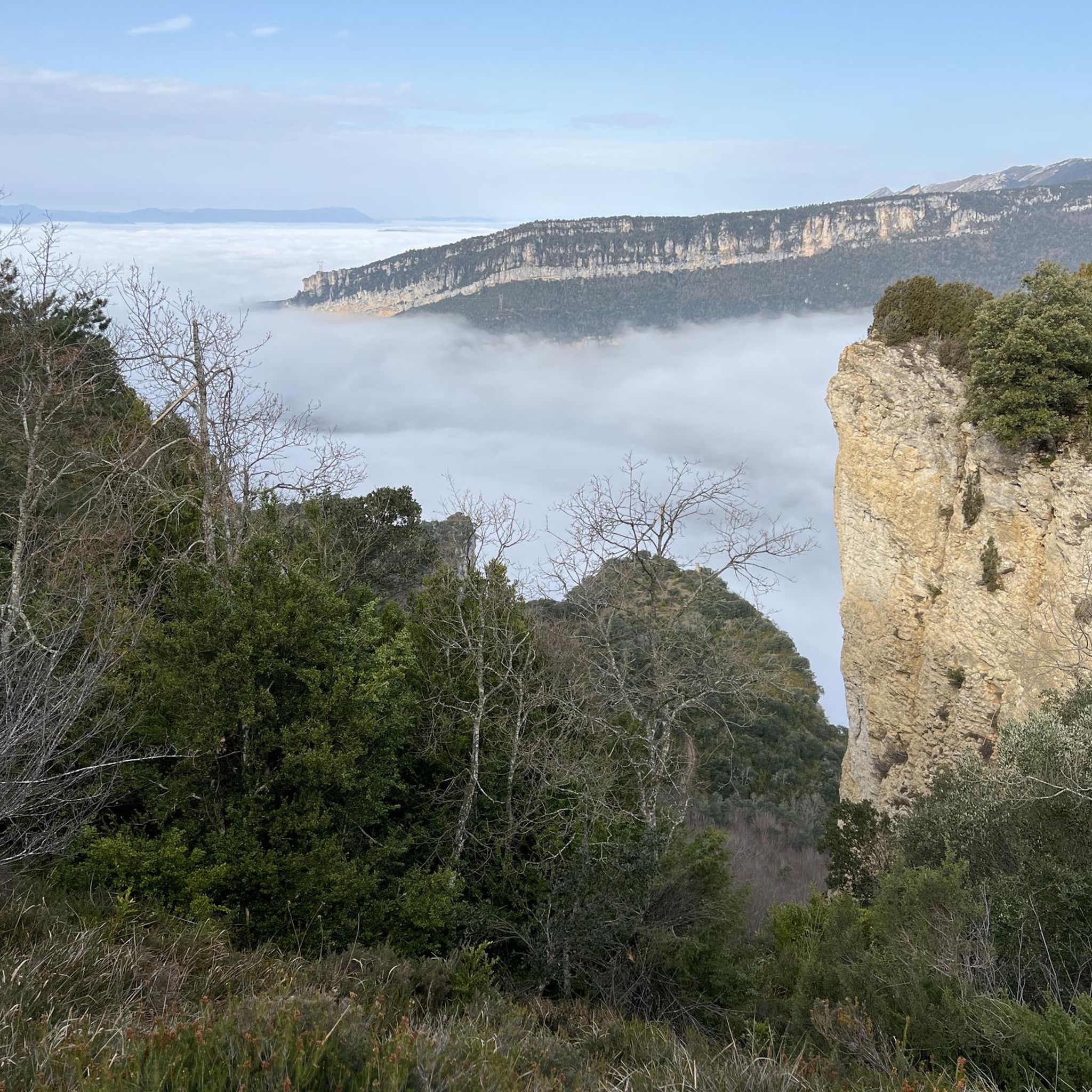
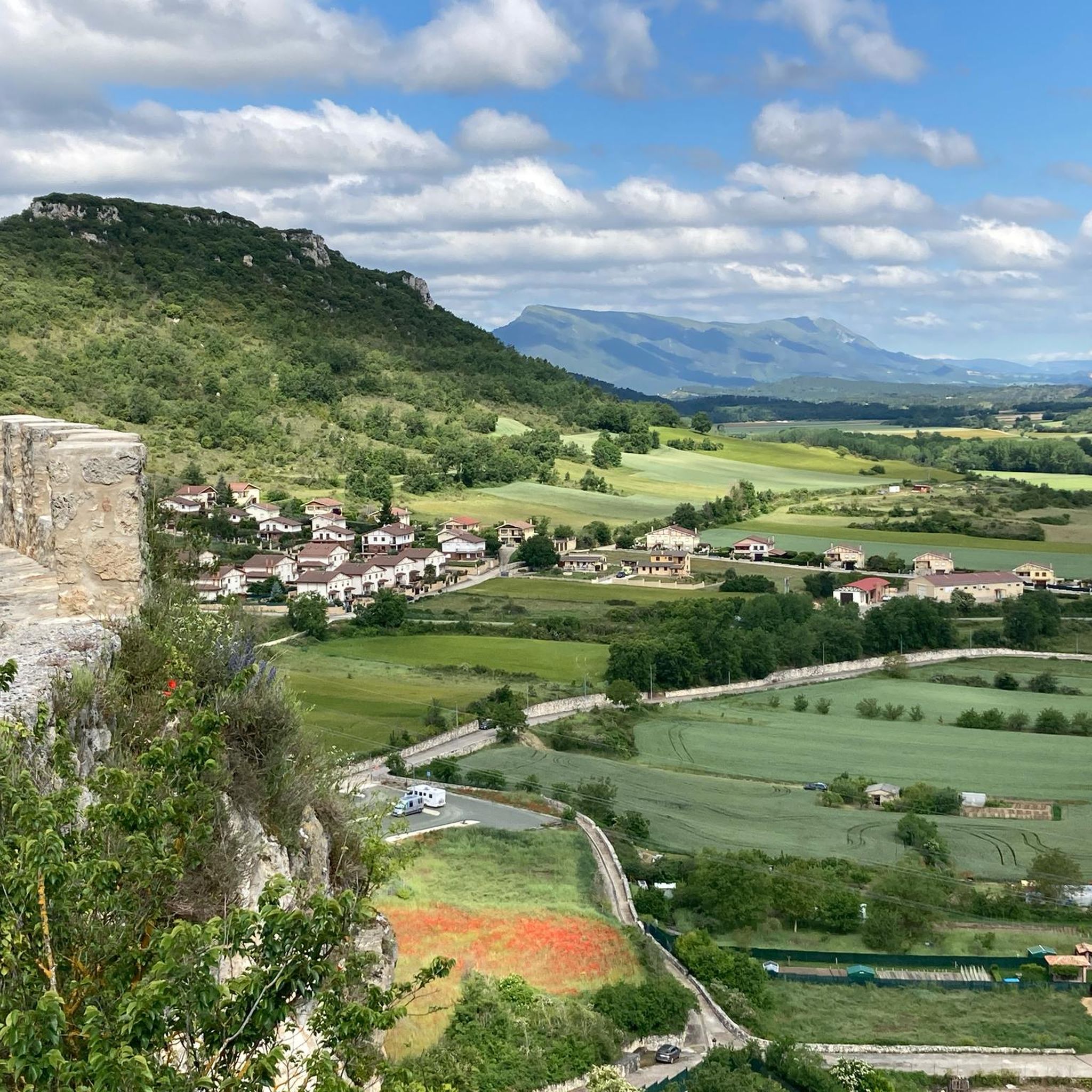
Hiking in Montes Obarenes-San Zadornil offers diverse landscapes at the southernmost foothills of the Cantabrian Mountains, acting as a natural barrier over the plains of La Bureba. The region is characterized by dramatic gorges carved by rivers like the Ebro, Oca, and Purón, alongside varied forest ecosystems where Atlantic and Mediterranean species intermingle. Hikers encounter limestone crests, vertical walls, and a rich blend of arboreal species across approximately 33,064 hectares.
Best hiking trails in Montes Obarenes-San Zadornil
- The most popular hiking route is Route of the Senses, a 5.2 miles (8.3 km) trail that takes 2 hours 21 minutes to complete. This moderate route offers a varied natural experience.
- Another top favourite among local hikers is Cuevas de Pancorbo y Peña Liebre - Castillo de Santa Marta — circular desde Pancorbo - Parque natural Montes Obarenes-San Zadornil, a moderate 7.6 miles (12.2 km) path. It explores the dramatic gorges and historical sites around Pancorbo.
- Local hikers also love the Humión and Mancubo Circular Trail, a 9.3 miles (14.9 km) trail leading through mountainous terrain, often completed in about 5 hours 4 minutes.
- Hiking in Montes Obarenes-San Zadornil is defined by dramatic gorges, diverse forest ecosystems, and limestone crests. The network offers options for various ability levels, from easy paths to more challenging routes.
- The routes in Montes Obarenes-San Zadornil are highly rated by the komoot community with an average score of 4.6 stars from over 200 reviews. More than 1400 hikers have used komoot to explore Montes Obarenes-San Zadornil's varied terrain.
Last updated: July 7, 2026
4.6
(18)
52
hikers
8.34km
02:21
170m
170m
Hike a moderate 5.2-mile (8.3 km) circular route from Frías to Tobera, exploring historic towns and waterfalls in Montes Obarenes-San Zadorn
3.0
(2)
18
hikers
Moderate hike. Good fitness required. Mostly accessible paths. Sure-footedness required.

Sign up for free
3.0
(1)
13
hikers
14.9km
05:04
630m
640m
Hike the difficult 9.3-mile (14.9 km) Ascent to Humión circular route from Cubilla de la Sierra for panoramic views and 2075 feet of gain.
3.7
(3)
12
hikers
Moderate hike. Good fitness required. Easily-accessible paths. Suitable for all skill levels.
12
hikers
19.1km
06:04
760m
760m
Hike the difficult 11.9-mile Por la Mesa de Oña Trail, gaining 2499 feet in Montes Obarenes-San Zadornil Natural Park for panoramic views.
Get access to more routes and recommendations from other explorers.
Sign up for free
Already have an account?
Our route recommendations are based on thousands of hikes, rides, and runs completed by other people on komoot.
Start today with a free account
Your next adventure awaits.
Login or Signup
Popular around Montes Obarenes-San Zadornil
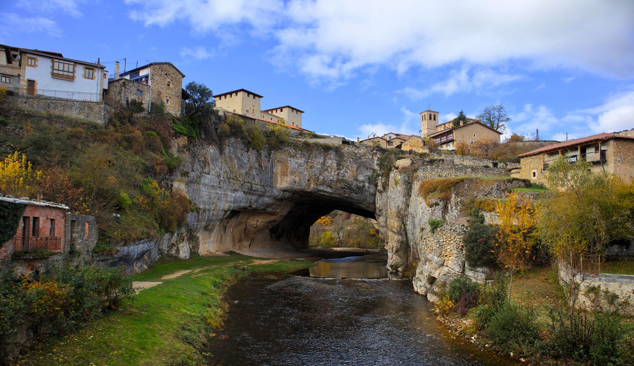
Endless valleys and historic villages – Route of the Senses (GR 85)
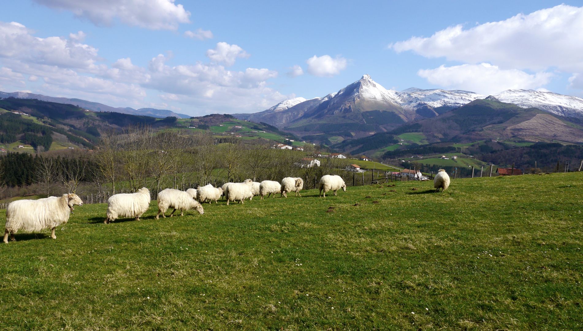
Mountains with tradition in Spain’s Basque Country – Shepherd's Path (GR 282)
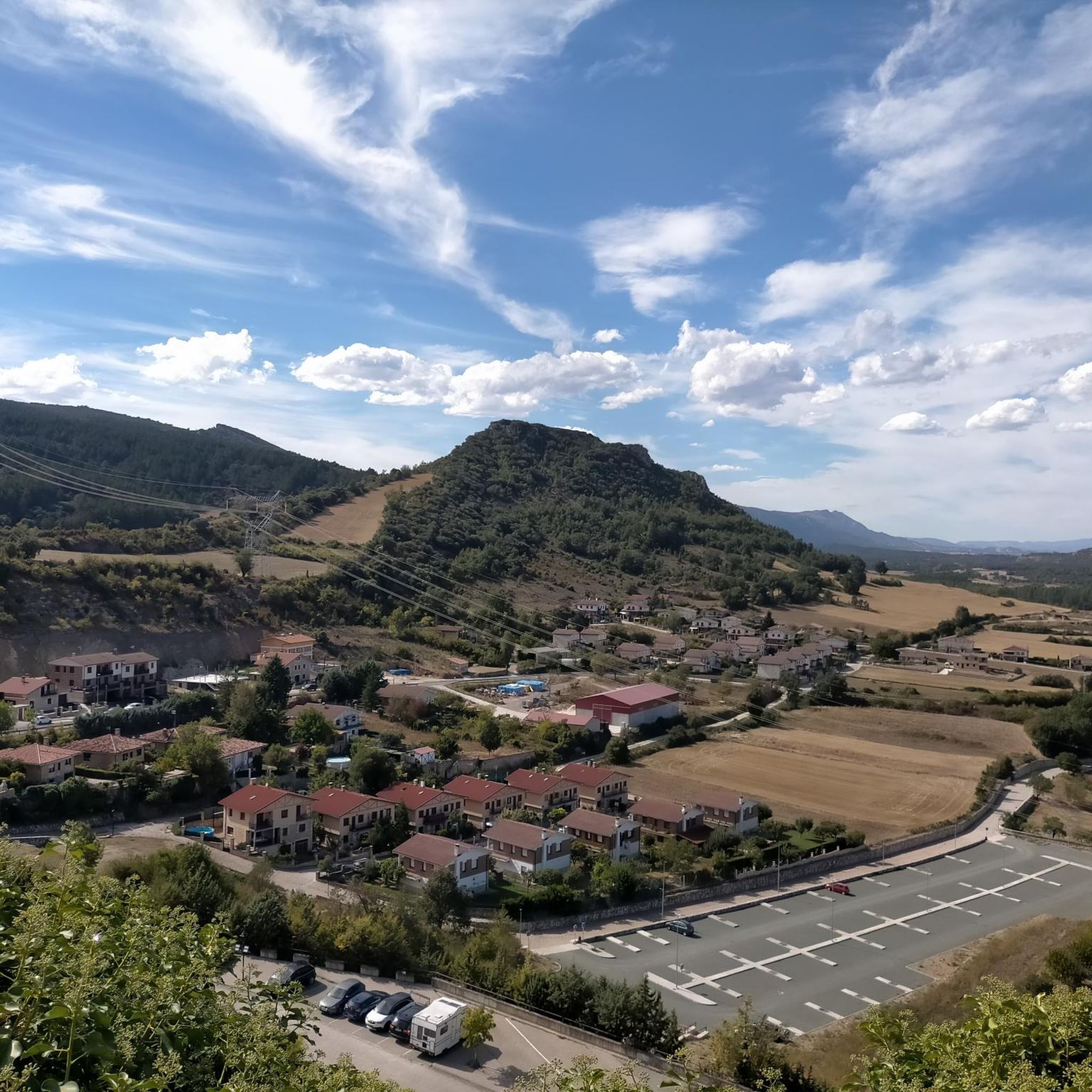
MTB Trails in Montes Obarenes-San Zadornil
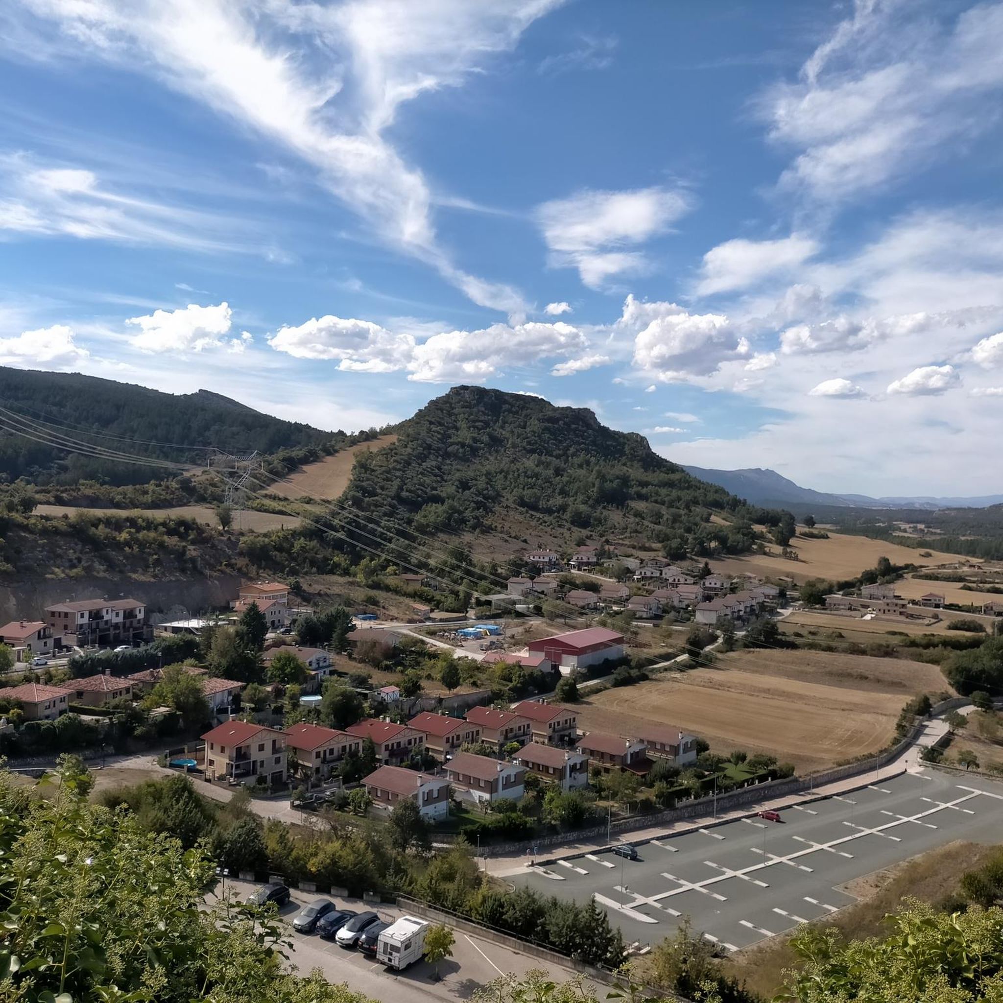
Road Cycling Routes in Montes Obarenes-San Zadornil
Running Trails in Montes Obarenes-San Zadornil
Cycling in Montes Obarenes-San Zadornil

Gravel biking in Montes Obarenes-San Zadornil


Tips from the Community

It is worth visiting the hermitage of Santa María de la Hoz, in the town of Tobera. To do this, we will cross a medieval bridge of Roman origin that spans the Molinar riverbed. The temple, almost embedded in a large rock, dates from the 13th century, features both Romanesque and Gothic elements, and has a portico with arches that offers good views of the surroundings. At its feet stands a second, tiny hermitage from a later date – the 17th century – which houses an altar dedicated to the Cristo de los Remedios.
2
0
If you are in Tobera and Frías, you cannot miss visiting the hermitage of Santa María de la Hoz and the medieval bridge over the Molinar river. The temple is from the 13th century, features both Romanesque and Gothic elements, and has a portico with arches that offers good views of the surroundings. At its feet stands a second, tiny hermitage, from a later date – the 17th century – which houses an altar dedicated to Cristo de los Remedios.
2
0
Beautiful medieval town in the province of Burgos.
2
0

It is the upper viewpoint of the waterfalls, but not the best (in my opinion).
2
0
Authentic place of pilgrimage, a beautiful hermitage and surroundings.
2
0
The truth is that the horizon is tremendous.
1
0
The Hermitage of Our Lady of the Sickle is nestled beneath the cliff, reached by crossing the small bridge over the Molinar River. Dating from the 13th century, it features both Romanesque and Gothic elements and has an arched portico offering fine views of the surrounding area. At its base stands a second, much smaller hermitage, dating from the 17th century, which houses an altar dedicated to Christ of the Remedies.
4
0

Near the center of Frías...easy to see
0
0
Frequently Asked Questions
How many hiking trails are available in Montes Obarenes-San Zadornil?
Montes Obarenes-San Zadornil offers a wide variety of hiking experiences with nearly 80 marked trails. These range from easy paths suitable for a leisurely stroll to more challenging routes for experienced hikers.
What kind of terrain can I expect when hiking in Montes Obarenes-San Zadornil?
The park is characterized by diverse terrain, including dramatic gorges carved by rivers like the Ebro, Oca, and Purón. You'll also find limestone crests, vertical walls, and a unique blend of Atlantic and Mediterranean forest ecosystems, offering varied landscapes from dense woodlands to panoramic mountain views.
Are there any easy hiking routes suitable for beginners or families?
Yes, Montes Obarenes-San Zadornil has 19 easy trails perfect for beginners or families. These routes allow you to enjoy the natural beauty without significant difficulty. For example, the Revillallanos y Valdelamediana — circular through the Valderejo Natural Park is a moderate option that can be enjoyed by those looking for a slightly longer but still accessible walk.
What are some notable natural features or viewpoints to look out for?
The park is rich in natural features. You can explore the stunning gorges, such as the Oña Gorge, or enjoy panoramic vistas from various peaks. The View of the Ebro River from Mirador de San Martín de Don offers a breathtaking perspective of the river's course through the landscape. The highest point, Pan Perdido, also provides expansive views.
Are there any circular hiking routes in the region?
Yes, many trails in Montes Obarenes-San Zadornil are circular, allowing you to start and end at the same point. The Revillallanos y Valdelamediana — circular through the Valderejo Natural Park is one such route, offering a moderate 7.5 km loop.
What do other hikers enjoy most about Montes Obarenes-San Zadornil?
The area is highly rated by the komoot community, with an average score of 4.6 stars from over 200 reviews. Hikers often praise the dramatic gorges, the unique blend of Atlantic and Mediterranean forest ecosystems, and the opportunities for panoramic views from limestone crests and mountain peaks.
Are there any historical or cultural sites to visit near the hiking trails?
Absolutely. The region is dotted with charming medieval villages and historical constructions. Notable examples include Oña, known for its medieval monastery of San Salvador, and Frías, with its challenging castle and fortified bridge over the Ebro River. These sites offer a cultural dimension to your hiking experience.
What is the best time of year to go hiking in Montes Obarenes-San Zadornil?
The park's diverse ecosystems mean it offers beauty throughout the year. Spring and autumn are particularly pleasant for hiking, with mild temperatures and vibrant colors in the forests. The unique blend of arboreal species, from beech to holm oaks, provides a rich visual experience in these seasons.
Can I find trails that lead to mountain peaks?
Yes, the mountainous terrain of Montes Obarenes offers several trails leading to peaks. The Montes Obarenes form a significant natural wall, with its highest point being Pan Perdido at 1,237 meters. Other notable summits include Humion and El Cueto, providing challenging hikes with rewarding panoramic views.
What kind of wildlife might I encounter while hiking?
Montes Obarenes-San Zadornil is home to a rich biodiversity, including 128 cataloged vertebrate species. You might spot mammals like roe deer, wild boar, or even a wildcat. The rocky cliffs are nesting sites for numerous raptors, such as golden eagles, Bonelli's eagles, and griffon vultures, making it an excellent area for birdwatching.
Are there any long-distance or challenging routes for experienced hikers?
Yes, for experienced hikers seeking a challenge, there are several difficult routes. The Por la Mesa de Oña Trail is a demanding 19.1 km route that takes over 6 hours to complete, offering significant elevation changes and expansive views.
Most popular routes in Montes Obarenes-San Zadornil
Most popular attractions in Montes Obarenes-San Zadornil

Get inspired with the komoot mobile app


Explore more
Browse the best Hikes in other regions.
