Top 5 Lakes around Trinkwassertalsperre Stollberg
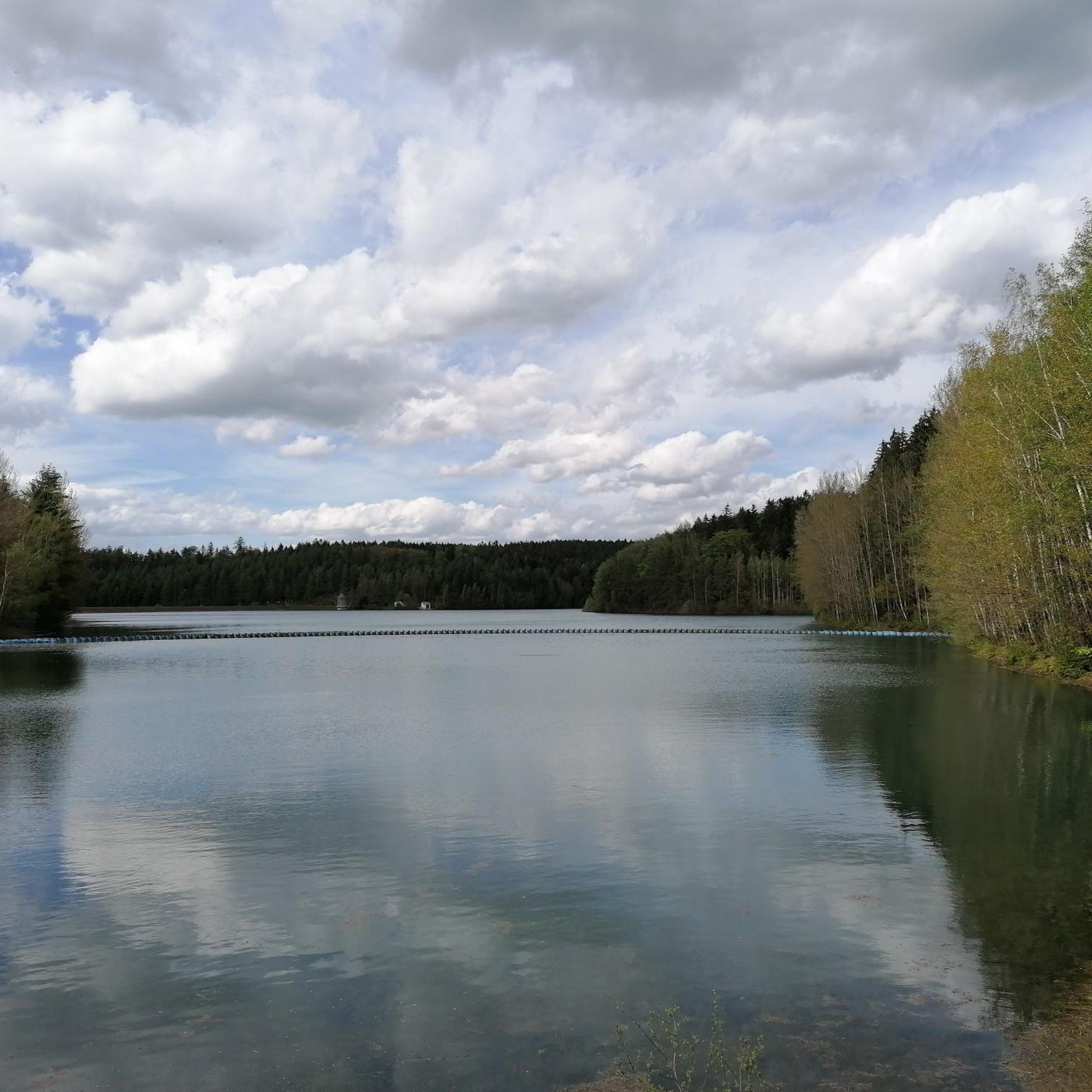
Best lakes around Trinkwassertalsperre Stollberg refers to a single drinking water reservoir located in the Erzgebirge, Saxony, Germany. Constructed between 1949 and 1954, its primary purpose is to supply drinking water and provide flood protection. The area is characterized by exceptionally clear water and a largely forested landscape, offering numerous scenic hiking trails. While direct water access for bathing and sports is prohibited to maintain water quality, the reservoir provides a natural setting for outdoor recreation.
Best lakes around Trinkwassertalsperre…
Last updated: August 22, 2026
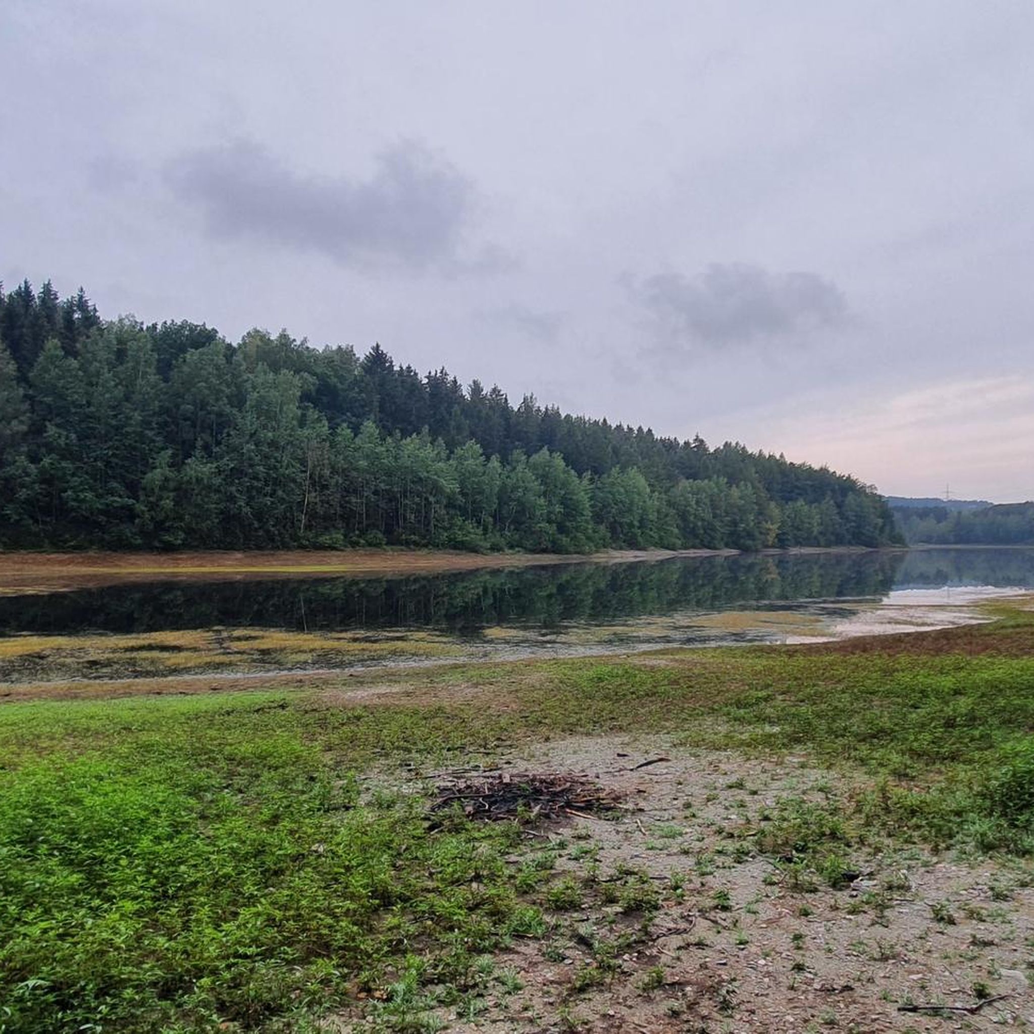
Stollberg Reservoir (Querenbach Reservoir)
Highlight • Lake
Translated by Google •
Tip by

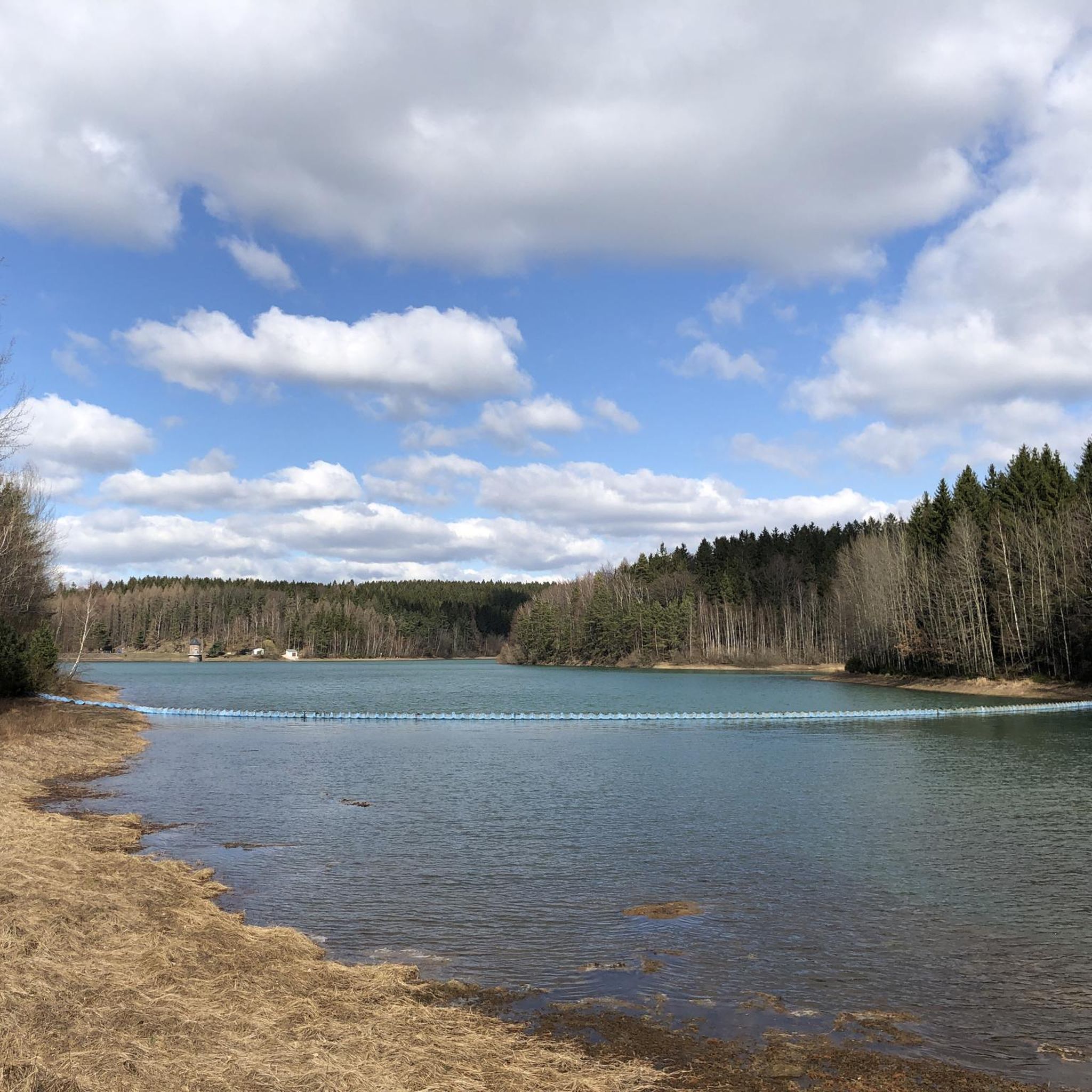
Querenbach Dam
Highlight • Lake
Translated by Google •
Tip by

Sign up now to discover places like this
Get recommendations on the best single tracks, peaks, & plenty of other exciting outdoor places.
Sign up for free
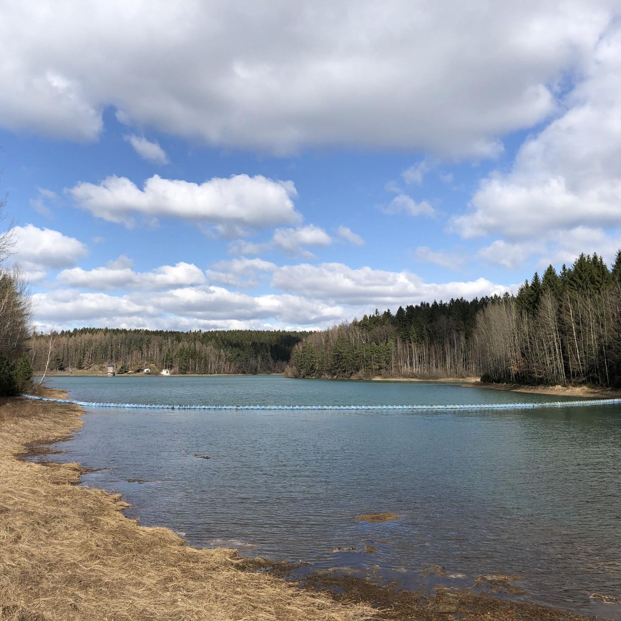
Querenbach Dam (Stollberg Reservoir)
Highlight • Lake
Translated by Google •
Tip by

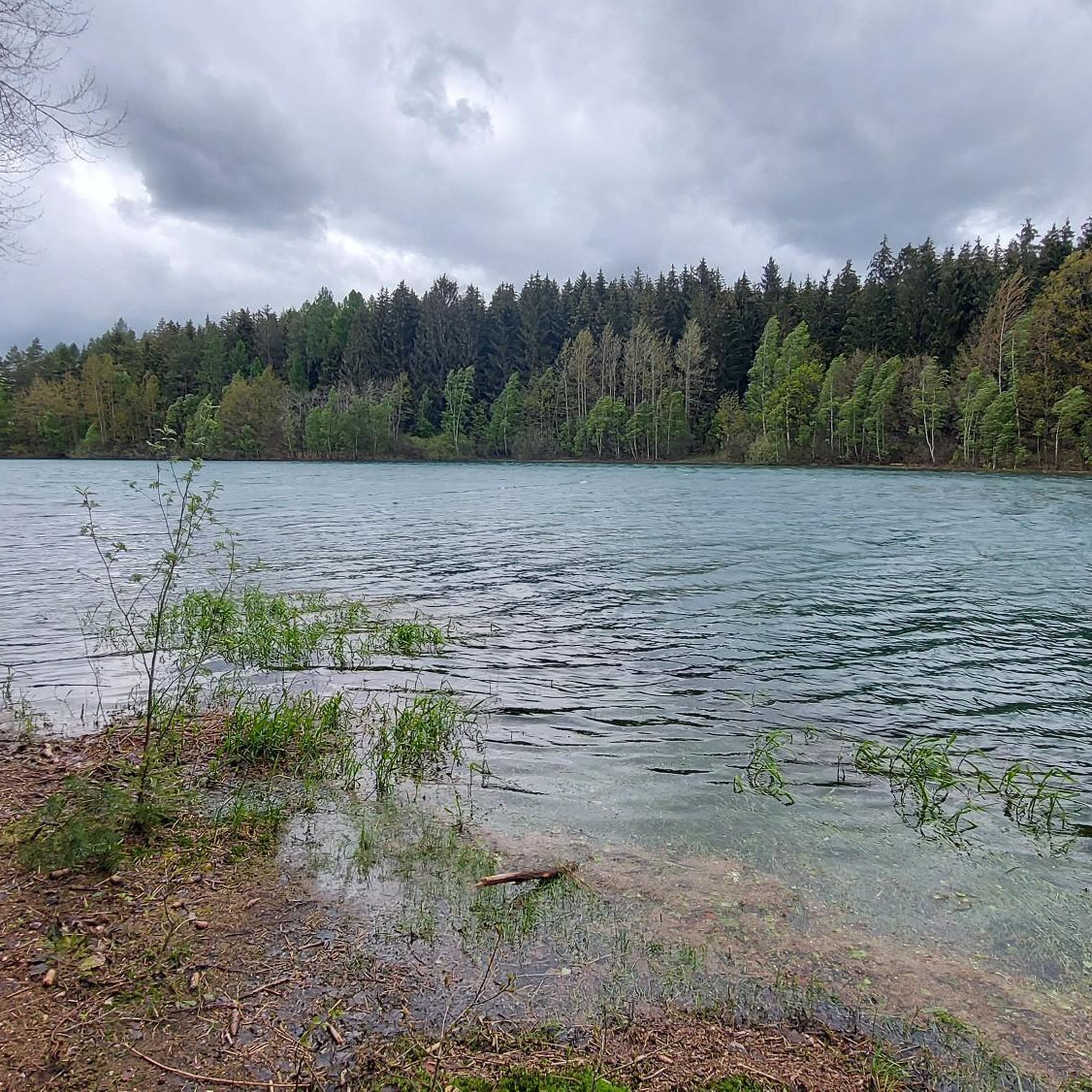
Stollberg Reservoir
Highlight • Lake
Translated by Google •
Tip by

Wetland at the inflow of the Stollberg reservoir
Highlight • Natural
Translated by Google •
Tip by
Sign up for free to discover even more lakes around Trinkwassertalsperre Stollberg.
Sign up for free
Already have an account?
Start today with a free account
Your next adventure awaits.
Login or Signup
Popular around Trinkwassertalsperre Stollberg

Tips from the Community

Station of the nature trail https://www.erzgebirge-tourismus.de/touren-1/tour/naturlehrpfad-im-buergerwald/tour.html
0
0

A beautiful, natural dam with lovely paths and fantastic views. Of particular note are the signs indicating that this is a drinking water area. Therefore, it's not permitted to walk near the shore, but the view remains beautiful. Unfortunately, not everyone respects this.
0
0

a nice place to rest
1
1

The Stollberg Dam (also called the Querenbach Dam or Querenbach Dam) was built between 1949 and 1954 in the Ore Mountains near Stollberg. The Querenbach Dam supplies Stollberg in Saxony and its surroundings with drinking water and provides flood protection. The water is extracted via a so-called extraction tower in the reservoir.
1
1
The Stollberg Dam (also called the Querenbach Dam or Querenbach Dam) was built between 1949 and 1954 in the Ore Mountains near Stollberg. The Querenbach Dam supplies Stollberg in Saxony and its surroundings with drinking water and provides flood protection. The water is extracted via a so-called extraction tower in the reservoir.
2
1
A circular hiking trail around the dam is possible, but unfortunately not over the dam wall. You can either take the narrow forest path along the dam, which is bumpy and rocky, or the wider forest path a little further away from the dam. The Stollberg Dam (also called the Querenbach Dam or Querenbachtalsperre) was built between 1949 and 1954 in the Ore Mountains near Stollberg. The Querenbach Dam serves Stollberg in Saxony and its surroundings as a drinking water supply and flood protection facility. The water is extracted via a so-called extraction tower in the reservoir. https://www.wasserwirtschaft.sachsen.de/TS_Stollberg.html
2
1

great corner with a wonderful view
1
1
A great destination for a hike
1
0
Frequently Asked Questions
What are the most popular lakes and spots around Trinkwassertalsperre Stollberg?
The most popular spots include Stollberg Reservoir (Querenbach Reservoir), known for its access points and scenic circumnavigation. Another highly regarded area is Querenbach Dam, where a hiking trail leads directly along the banks. Visitors also appreciate the main Stollberg Reservoir, a well-known destination in the area.
What makes the Trinkwassertalsperre Stollberg unique?
The Trinkwassertalsperre Stollberg is unique for its exceptionally clear water, with visibility often extending up to 15 meters deep, due to its location in a sparsely populated, forested catchment area. It also features the distinctive 'Dornröschen-Turm' (Sleeping Beauty Tower), an extraction tower rising from the reservoir, which is a unique architectural element.
Can I go swimming or do water sports in Trinkwassertalsperre Stollberg?
No, bathing and water sports are strictly prohibited in Trinkwassertalsperre Stollberg. This is because the reservoir serves as a vital source of drinking water for Stollberg and surrounding communities, and maintaining water quality is paramount.
Are there hiking trails around Trinkwassertalsperre Stollberg?
Yes, the area offers numerous scenic hiking trails suitable for various fitness levels. You can find routes that provide impressive views of the water and dam crest. For more hiking options, explore the Running Trails around Trinkwassertalsperre Stollberg guide, which includes routes like the 'Querenbach Dam – Stollberg Reservoir loop'.
What kind of terrain can I expect on the hiking trails?
The hiking trails around Trinkwassertalsperre Stollberg feature varied terrain. Some sections, particularly around Querenbach Dam, can lead over 'Stock and Stein' (roots and stones), requiring fixed footwear. There's also a Reservoir Root Trail, which is a gorgeous narrow trail along the dam with challenging spots close to the water.
Are the trails around Trinkwassertalsperre Stollberg suitable for families with children?
Many trails are suitable for families, offering easy walks and natural settings. However, some routes, like parts of the dam circular route near the Wetland at the inflow of the Stollberg reservoir, are noted as not being suitable for children's carriages due to the terrain. Always check specific trail descriptions for suitability.
What natural features or landmarks can I see around the reservoir?
Beyond the clear waters of the reservoir itself, you can see the unique 'Dornröschen-Turm' (Sleeping Beauty Tower), which is the extraction tower of the dam. The area also features a Wetland at the inflow of the Stollberg reservoir, offering a moist biotope and pure nature experience.
Are there cycling or mountain biking routes near the lakes?
Yes, the region offers various cycling and mountain biking opportunities. You can find routes like the 'Stollberg Reservoir – Honey Bear wooden sculpture loop' for mountain biking. For more options, refer to the MTB Trails around Trinkwassertalsperre Stollberg and Gravel biking around Trinkwassertalsperre Stollberg guides.
What do visitors enjoy most about the Trinkwassertalsperre Stollberg area?
Visitors particularly enjoy the tranquility and relaxation offered by the appealing forested landscape. The clear water and varied views during circumnavigation of the reservoir are often highlighted, with some describing the experience as having a 'great magic of colors' and the 'feeling of being in the Caribbean'.
Is there parking available near the lakes and trails?
While specific parking locations are not detailed, the area is a popular destination for outdoor recreation, suggesting general parking availability near trailheads and key access points around the reservoir. It's advisable to look for designated parking areas when planning your visit.
When is the best time to visit Trinkwassertalsperre Stollberg?
The Trinkwassertalsperre Stollberg area is beautiful year-round. The scenic hiking trails can be enjoyed in spring and summer for lush greenery, in autumn for vibrant fall colors, and even in winter for a peaceful, snowy landscape, provided conditions are safe for walking.
Most popular routes around Trinkwassertalsperre Stollberg
Most popular attractions around Trinkwassertalsperre Stollberg

Get inspired with the komoot mobile app


Explore more
Still not found your perfect lake around Trinkwassertalsperre Stollberg? Check out the guides of these regions to see even more beautiful places.
