The best road cycling routes around Trinkwassertalsperre Stollberg
4.7
(410)
3,666
riders
165
rides
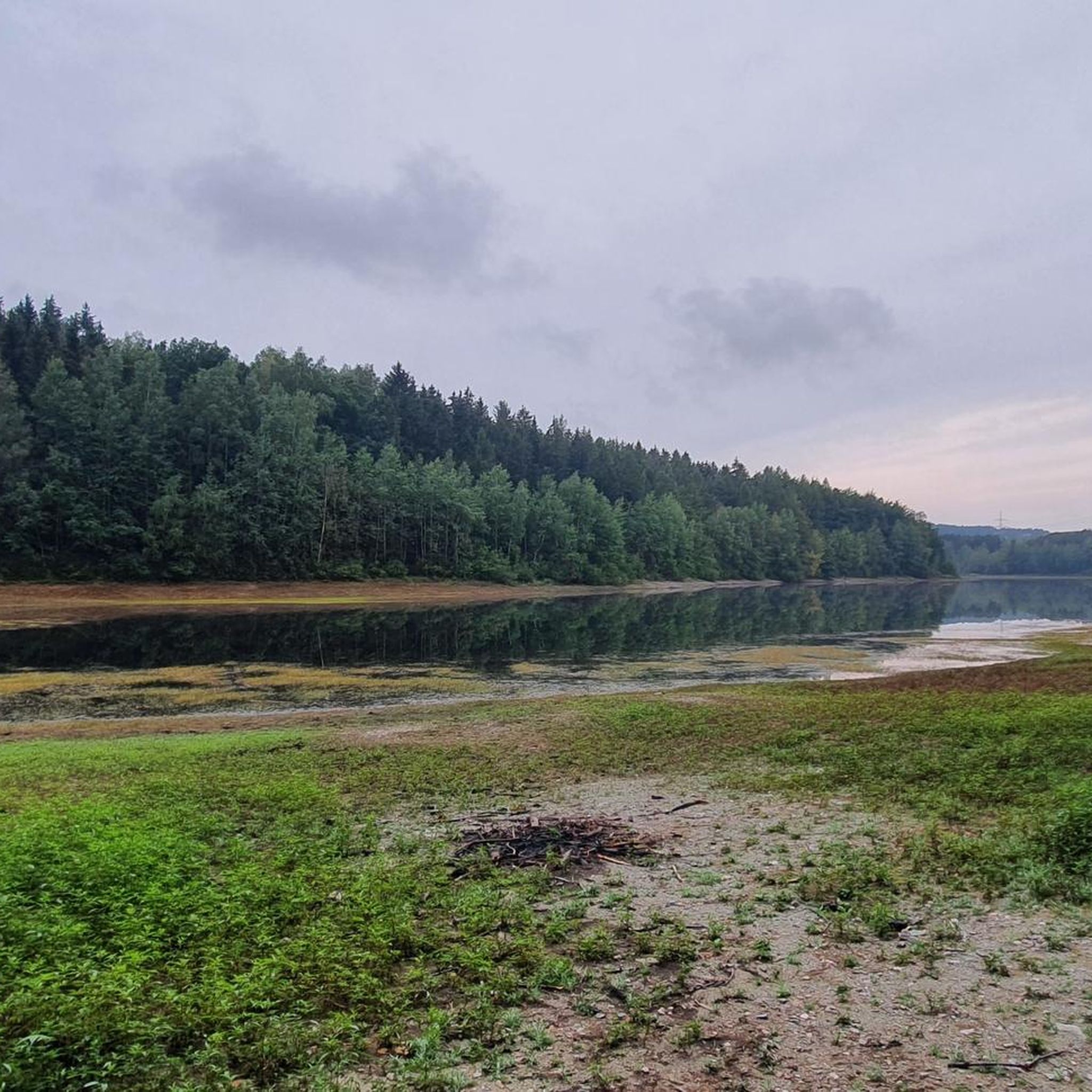
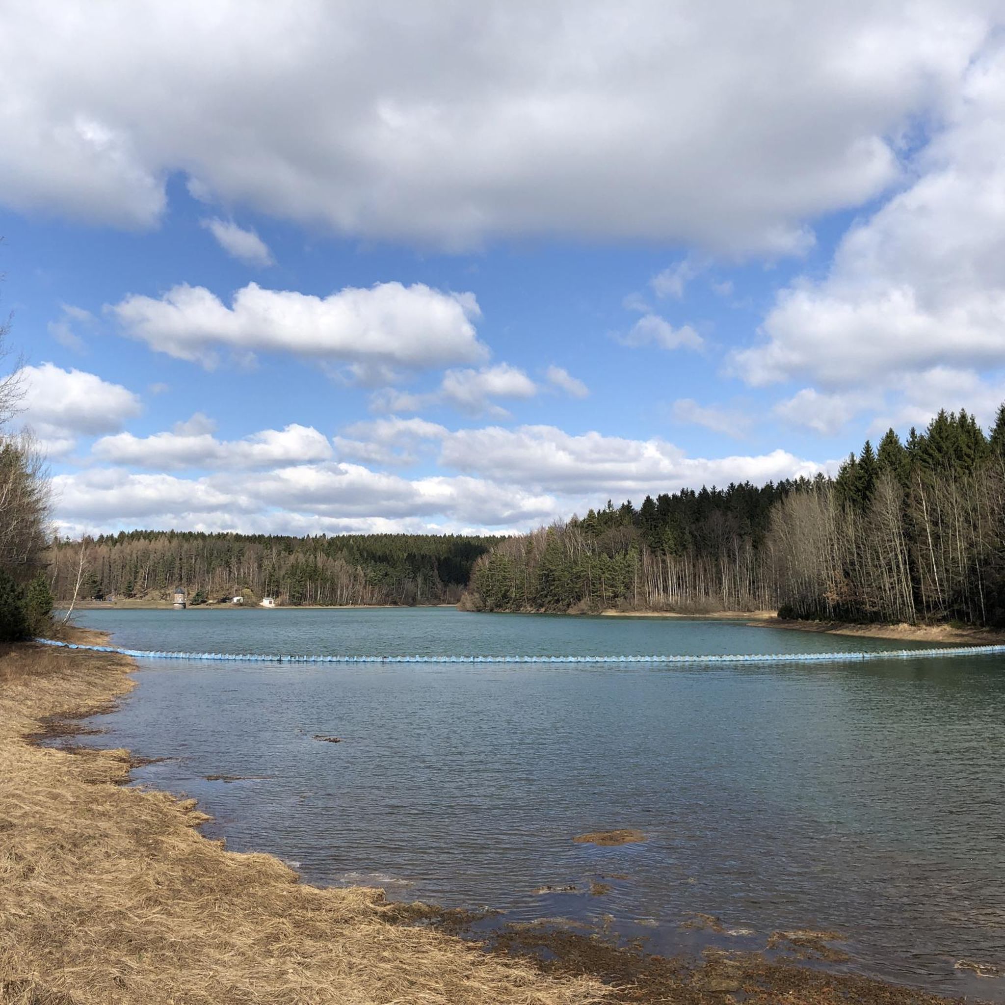
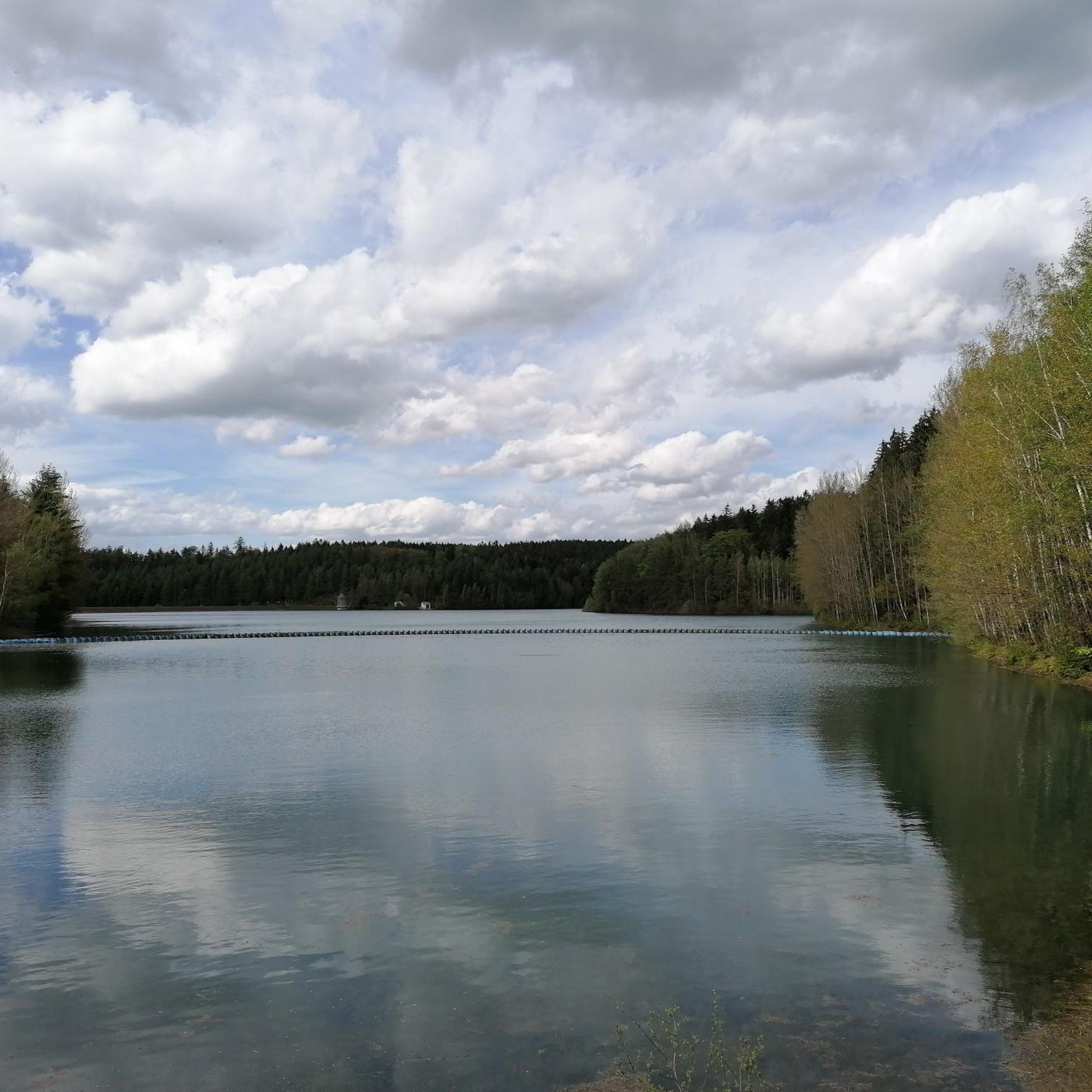
Road cycling routes around Trinkwassertalsperre Stollberg traverse a heavily wooded area of the Ore Mountains. The region features diverse terrain with well-maintained paths and natural landscapes. Cyclists can expect rewarding views of the clear water reservoir and gentle hills. This environment provides a serene backdrop for road cycling routes.
Best road cycling routes around Trinkwassertalsperre Stollberg
- The most popular road cycling route is Einsiedler Brewery – Zwönitztal Valley loop from Stollberg Schlachthofstraße, a 25.4 miles (40.9 km) trail that…
Last updated: October 17, 2026
4.6
(33)
181
riders
Moderate road ride. Good fitness required. Mostly well-paved surfaces and easy to ride.
4.7
(31)
137
riders
Moderate road ride. Good fitness required. Mostly well-paved surfaces and easy to ride.

5.0
(5)
34
riders
99.7km
05:02
1,330m
1,330m
Hard road ride. Very good fitness required. Some segments of this route may be unpaved and difficult to ride.
4.5
(2)
27
riders
Moderate road ride. Good fitness required. Mostly well-paved surfaces and easy to ride.
3.8
(4)
16
riders
Easy road ride. Great for any fitness level. Mostly well-paved surfaces and easy to ride.
Get access to more routes and recommendations from other explorers.
Already have an account?
Our route recommendations are based on thousands of hikes, rides, and runs completed by other people on komoot.
Start today with a free account
Your next adventure awaits.

Tips from the Community

there are many beautiful paths to discover here
0
0

Beautiful park, for lingering alone, with children or with parents, or simply for a relaxed ride through.
0
0

The house of worship, built in the "Empire style", was consecrated in 1810. Dominating the exterior is a mighty portico with a triangular pediment, supported by monumental columns. https://de.wikipedia.org/wiki/Johanneskirche_(Chemnitz-Reichenbrand)
0
0

The cycle path now goes all the way to Wüstenbrand. Perfect.
1
0

The 🟣 PURPLE PATH 🟣 is a sculpture trail connecting Chemnitz, the 2025 Capital of Culture, with 38 towns and cities in the region. Numerous artists have contributed works of various kinds, telling a untold story of the region. More information at https://chemnitz2025.de/purple-path/ Various artists "Annaberg Impulse I: Wood" in Lugau City Park Material: Wood "Wood and Stone: Artistic Creation in the Ore Mountains and Central Saxony The crème de la crème of artists from the Ore Mountains and their Czech friends have known each other for decades. They work in an interdisciplinary manner, using different media and materials. As the Annaberg Network, they are now curating sculptures for two exhibitions. Works made of traditional materials, wood, and stone can be seen. Participants include: Milan Bezaniuk, Paul Brockhage, Rolf Büttner, Roland Buschmann, Kurt Gebauer, Steffi Getzlaff, Petr Hladky, Marcel Kabisch, Jitka Kusova, Sebastian Mvller, Christoph Roßner, Wilfried Runst, Adam Rybka, Uwe Schwarz, Jörg Seifert, Thomas Suchomel, Josef Swancar, and Silvio Ukat." The "Annaberger Impuls II: Stone" can be found in the wild plant park in the former "Drei Schwanen" inn in Oederan.
0
0

The Chemnitz Industrial Museum is a comprehensive collection showcasing Saxon industrial history, located in Chemnitz, and is part of the Saxon Industrial Museum Association. The exhibition is housed in a former foundry hall of the Hermann and Alfred Escher AG machine tool factory. https://hartmann-historytour.de/module
1
0

great view of an offshoot of the Eibenstock dam
0
0
Frequently Asked Questions
How many road cycling routes are available around Trinkwassertalsperre Stollberg?
There are over 160 road cycling routes available around Trinkwassertalsperre Stollberg, offering a wide range of options for different skill levels and preferences.
What kind of terrain can I expect on road cycling routes in this region?
The road cycling routes around Trinkwassertalsperre Stollberg primarily feature a heavily wooded area of the Ore Mountains. You can expect diverse terrain with well-maintained paths, gentle hills, and rewarding views of the clear water reservoir. Many routes include asphalted sections and well-surfaced forest paths.
Are there routes suitable for beginners or less experienced road cyclists?
Yes, the region offers routes suitable for various ability levels. There are 27 routes specifically categorized as easy, providing a good starting point for beginners or those looking for a more relaxed ride.
What do other road cyclists say about the routes around Trinkwassertalsperre Stollberg?
The road cycling routes in Trinkwassertalsperre Stollberg are highly rated by the komoot community, with an average score of 4.6 stars from over 450 reviews. Cyclists often praise the serene natural backdrop, the clear water reservoir views, and the well-maintained paths through the forested landscapes.
Can I find circular road cycling routes around Trinkwassertalsperre Stollberg?
Yes, many road cycling routes in the area are designed as loops, allowing you to start and end at the same point. For example, the Old Stollberg Brickworks – Alte Ziegelei Recreation Area loop from Stollberg Schlachthofstraße is a popular moderate circular route.
Are there challenging routes for advanced road cyclists?
Absolutely. For advanced road cyclists seeking a challenge, there are 46 routes categorized as difficult. These routes often feature more significant elevation gains and longer distances, such as the Klaffenbach Water Castle – Zwönitz Market Square loop from Stollberg Schlachthofstraße, which covers over 78 km with substantial climbing.
What natural features or landmarks can I see while road cycling here?
While road cycling around Trinkwassertalsperre Stollberg, you can enjoy views of the Stollberg Reservoir (Querenbach Reservoir) and the Querenbach Dam. The routes also pass through heavily wooded areas, offering a peaceful atmosphere and opportunities to see the Wetland at the inflow of the Stollberg reservoir and various tree species, sometimes with information boards like the Larch Information Board.
What is the best season for road biking around Trinkwassertalsperre Stollberg?
The region is generally best for road cycling from spring through autumn. During these seasons, the weather conditions are typically more favorable, and the natural landscapes are vibrant. While winter cycling is possible, it's important to check weather conditions as paths may be affected by snow or ice.
Are there any long-distance road cycling routes in the area?
Yes, for those looking for longer rides, there are several options. The Hoheneck Castle – Zwönitz Market Square loop from Stollberg Schlachthofstraße is a substantial route covering over 53 km, offering varied terrain and a rewarding experience for long-distance cyclists.
Are the road cycling routes around Trinkwassertalsperre Stollberg suitable for families?
While specific 'family-friendly' routes are not explicitly highlighted, the presence of 27 easy routes suggests options that could be suitable for families with older children or those comfortable with moderate distances and gentle hills. The well-maintained paths and serene natural environment contribute to a pleasant experience.
Are there any cafes or places to stop for refreshments along the road cycling routes?
The region is known for its natural beauty and heavily wooded areas. While specific cafes directly on every route are not detailed, many routes pass through or near towns like Stollberg and Zwönitz, where you can find various amenities and refreshment stops. Planning your route with komoot can help identify potential stops.
Where can I find parking for road cycling trails near Trinkwassertalsperre Stollberg?
Many road cycling routes in the area, such as those starting from Stollberg Schlachthofstraße, originate from accessible points within or near the town. It is generally possible to find parking in or around the main towns and starting points of the routes, though specific parking facilities for each trail are not detailed. We recommend checking local parking options in Stollberg or nearby villages.
Most popular routes around Trinkwassertalsperre Stollberg
Most popular attractions around Trinkwassertalsperre Stollberg

Get inspired with the komoot mobile app


Explore more
Browse the best Road cycling routes in other regions.
