The 5 Most Amazing Peaks around Parco nazionale dell'Aspromonte
Mountain peaks around Parco nazionale dell'Aspromonte are located in the Calabria region of Italy, characterized by a rugged and diverse mountainous landscape. The park's highest peaks reach nearly 2,000 meters, featuring steep cliffs, deep gorges, and dense forests. This area is part of the UNESCO Global Geoparks network, highlighting its international geological heritage. The Aspromonte terrain offers extensive hiking opportunities through diverse ecosystems.
Best mountain peaks around Parco nazionale dell'Aspromonte
- The most popular mountain peaks is Montalto (1956 m), a summit that is the highest peak of Aspromonte and features a statue dedicated to Christ the Redeemer. It is an Ultra mountain, offering panoramic views that can extend to Sicily and Mount Etna on clear days.
- Another must-see spot is Passo della Zita, a mountain pass known for a medieval legend of a girl named Caterina. Visitors can expect a viewpoint with a panoramic vista and a historical narrative.
- Visitors also love View of the Amendolea River from Monte Grosso, a viewpoint offering panoramic views of the Amendolea river. This spot provides a scenic outlook over the river and surrounding mountains.
- Parco nazionale dell'Aspromonte is known for its diverse summits, viewpoints, and natural monuments. The area offers a variety of mountain peaks to see and explore, including prominent monoliths and high-altitude summits.
- The mountain peaks around Parco nazionale dell'Aspromonte are appreciated by the komoot community, with 22 upvotes and 25 photos shared across 5 highlights.
Last updated: July 12, 2026
Montalto (1956 m)
Highlight • Summit
Translated by Google •
Tip by

Mount Tre Pizzi (705 m)
Highlight • Summit
Translated by Google •
Tip by

Sign up now to discover places like this
Get recommendations on the best single tracks, peaks, & plenty of other exciting outdoor places.
Sign up for free
Passo della Zita
Highlight • Mountain Pass
Translated by Google •
Tip by

Monte Mutolo
Highlight (Segment) • Natural Monument
Translated by Google •
Tip by

View of the Amendolea River from Monte Grosso
Highlight • Viewpoint
Translated by Google •
Tip by
Sign up for free to discover even more peaks around Parco nazionale dell'Aspromonte.
Sign up for free
Already have an account?
Start today with a free account
Your next adventure awaits.
Login or Signup
Popular around Parco nazionale dell'Aspromonte
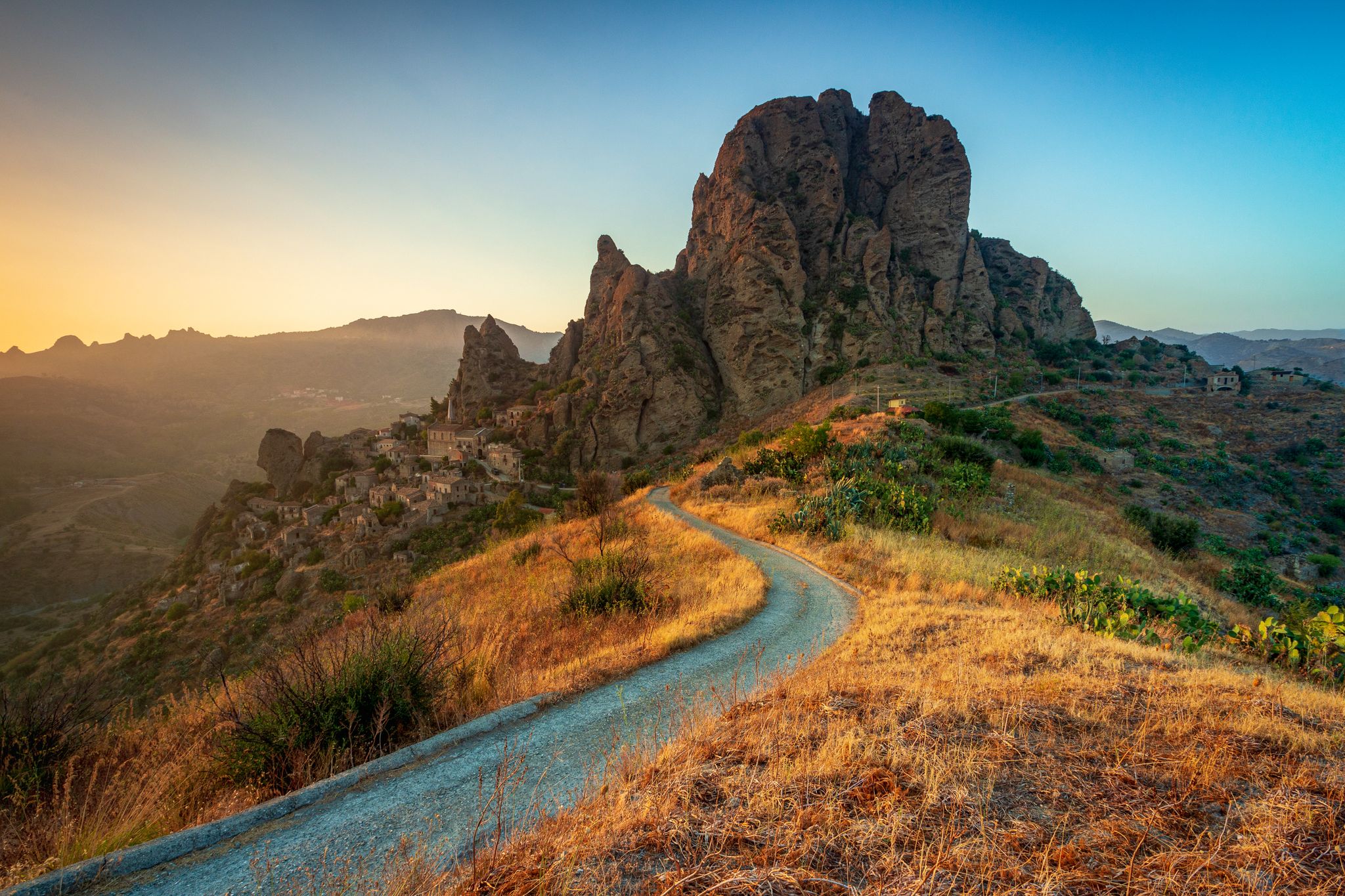
Tracing Edward Lear’s journey through Calabria – Sentiero dell'Inglese
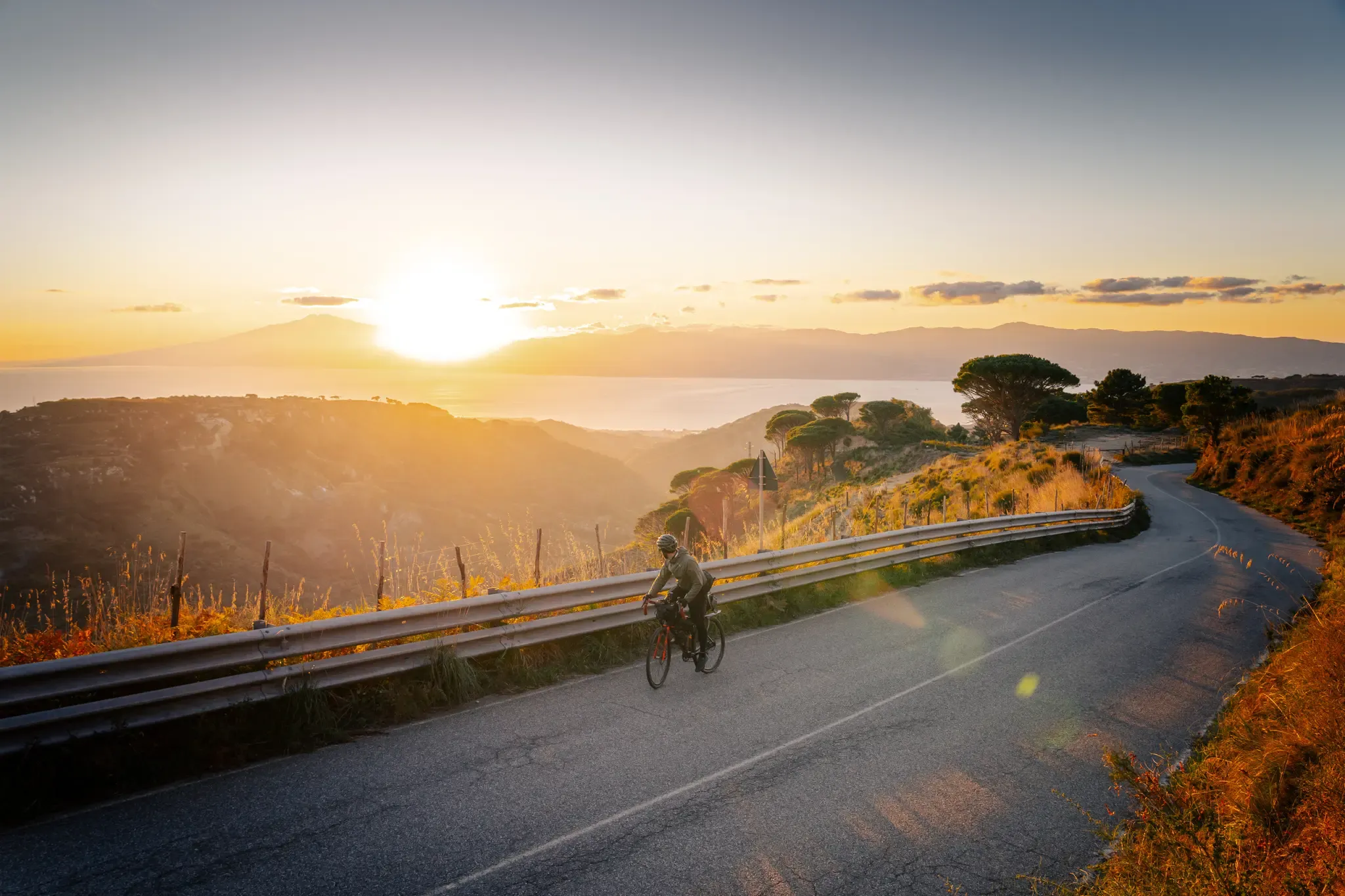
Cycle through the colourful heart of Italy’s Calabria – Ciclovia Parchi
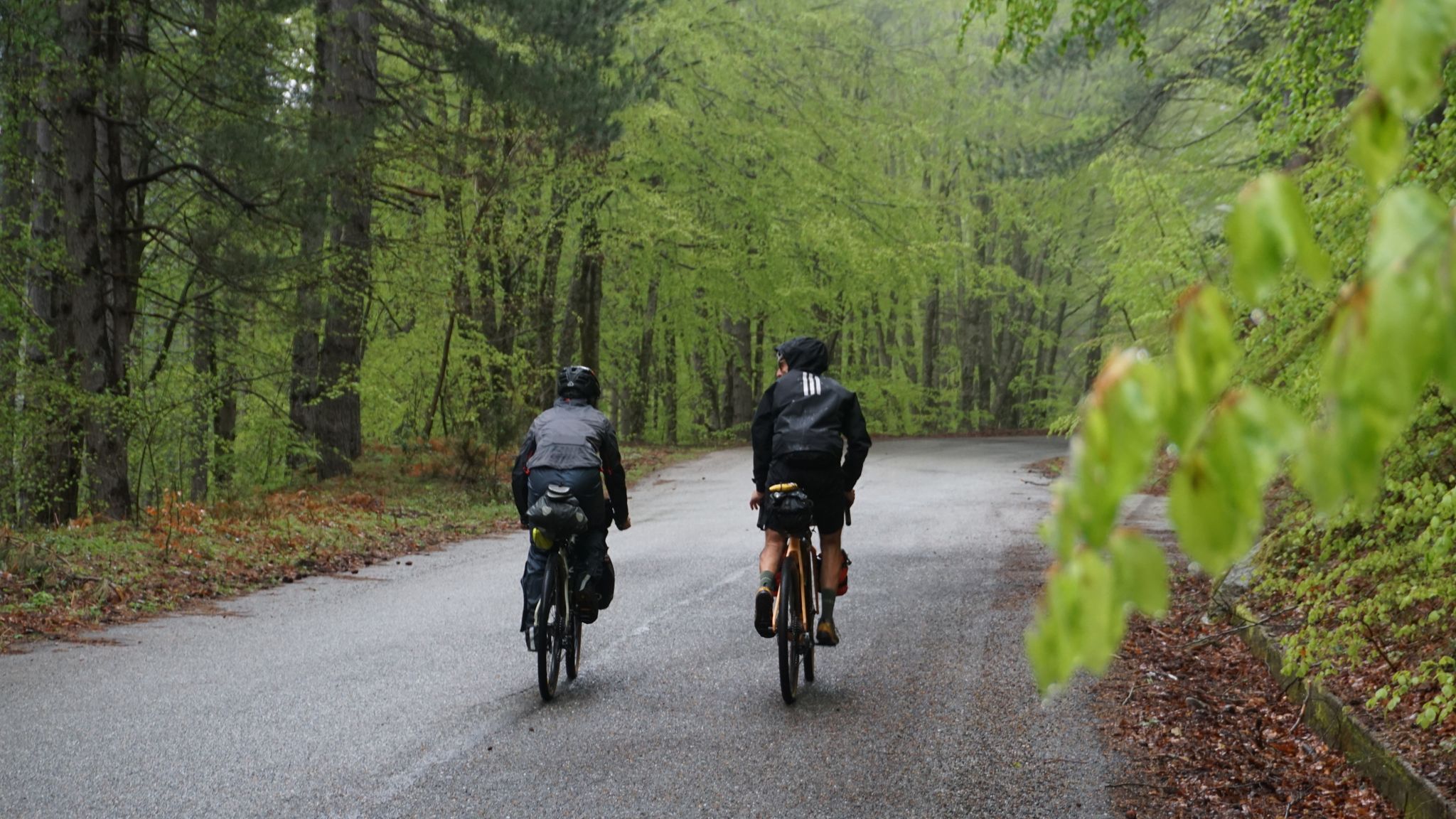
The unexpected mountain – Ciclovia Parchi Calabria

Along the backbone of Calabria – Sentiero Italia
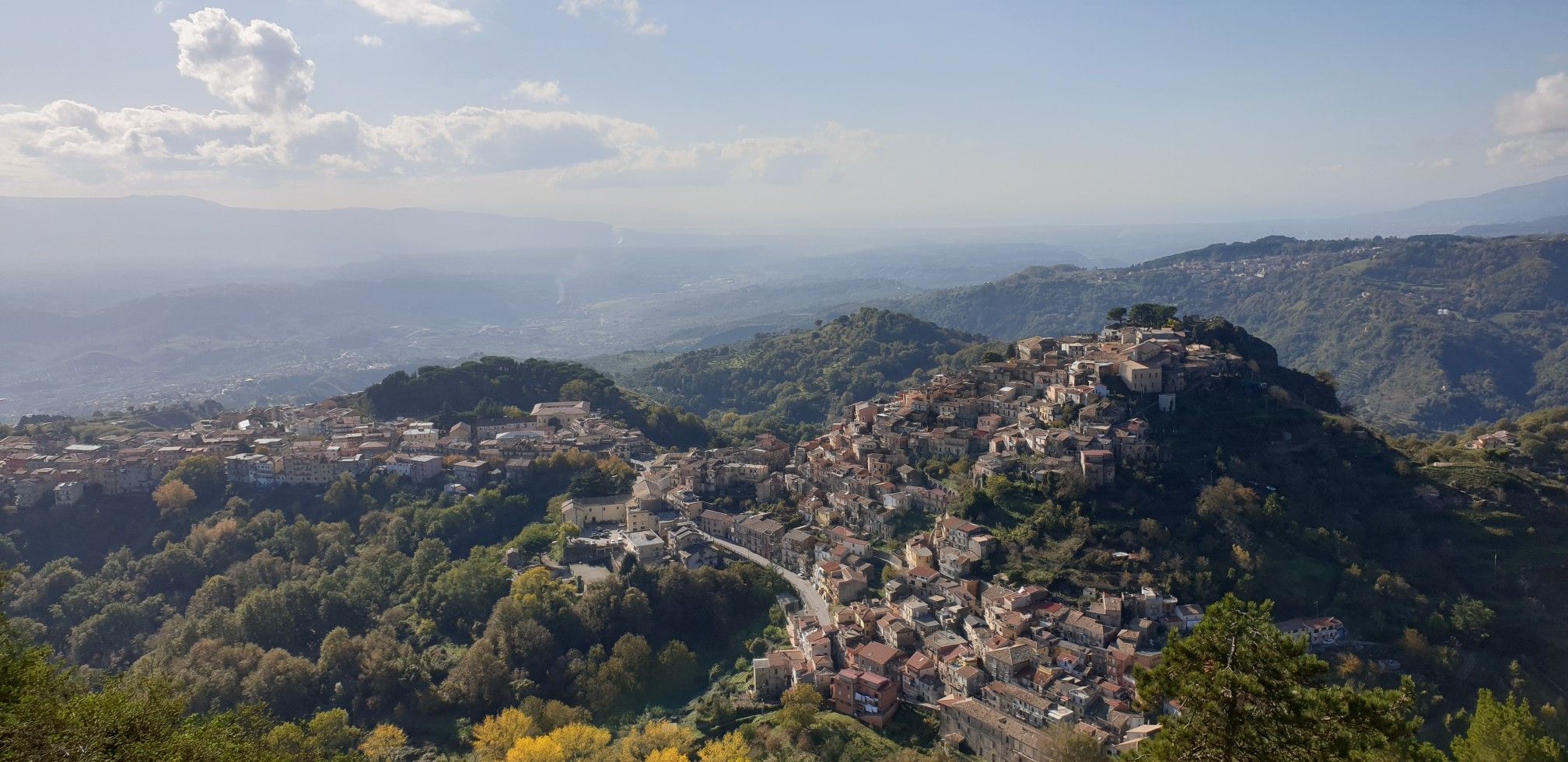
Explore art and culture in Italy – cycling Tours in Calabria's National Parks
History and faith – exploring Calabria's National Parks in southern Italy
Hiking around Parco nazionale dell'Aspromonte
Cycling around Parco nazionale dell'Aspromonte
MTB Trails around Parco nazionale dell'Aspromonte
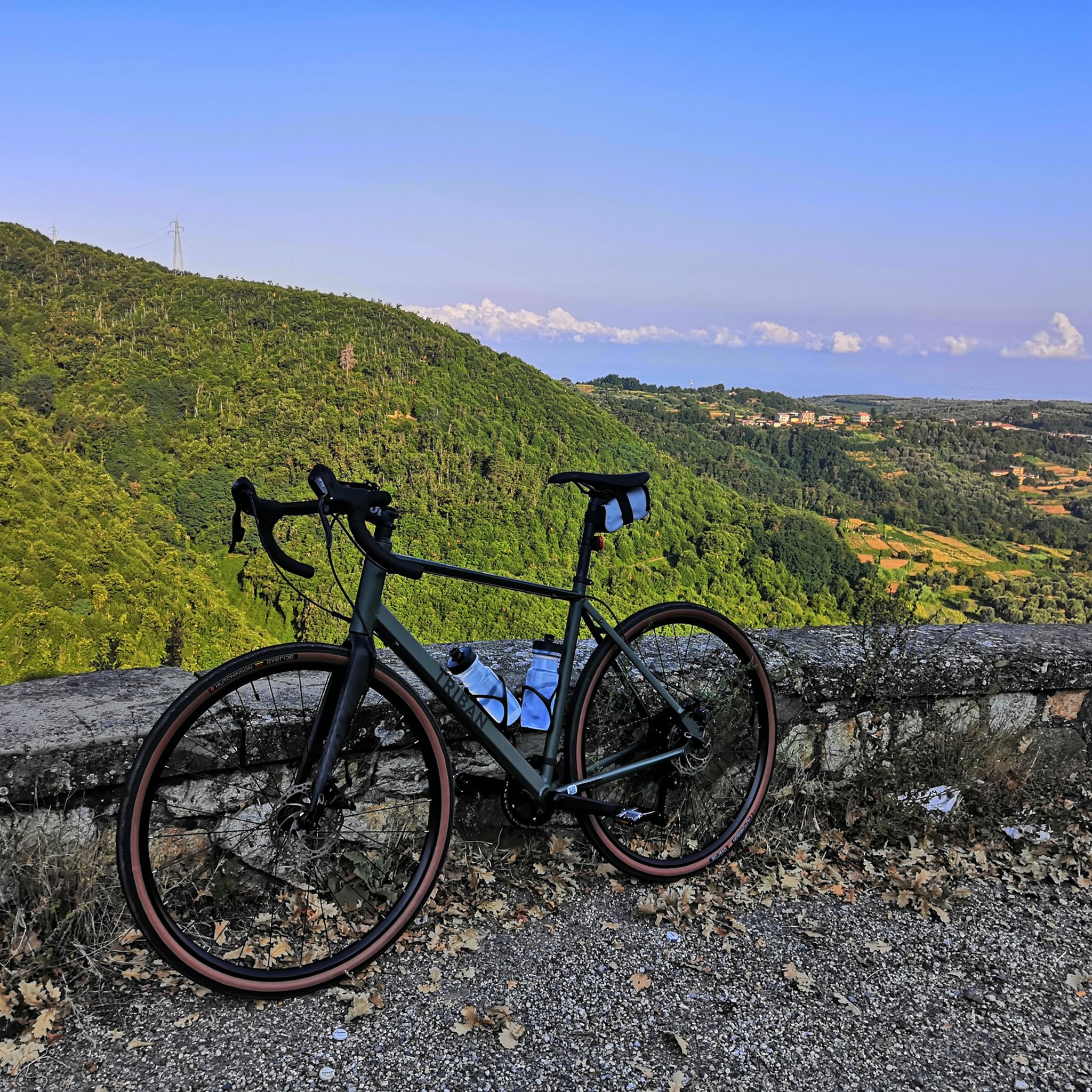
Road Cycling Routes around Parco nazionale dell'Aspromonte
Other adventures around Parco nazionale dell'Aspromonte


Tips from the Community

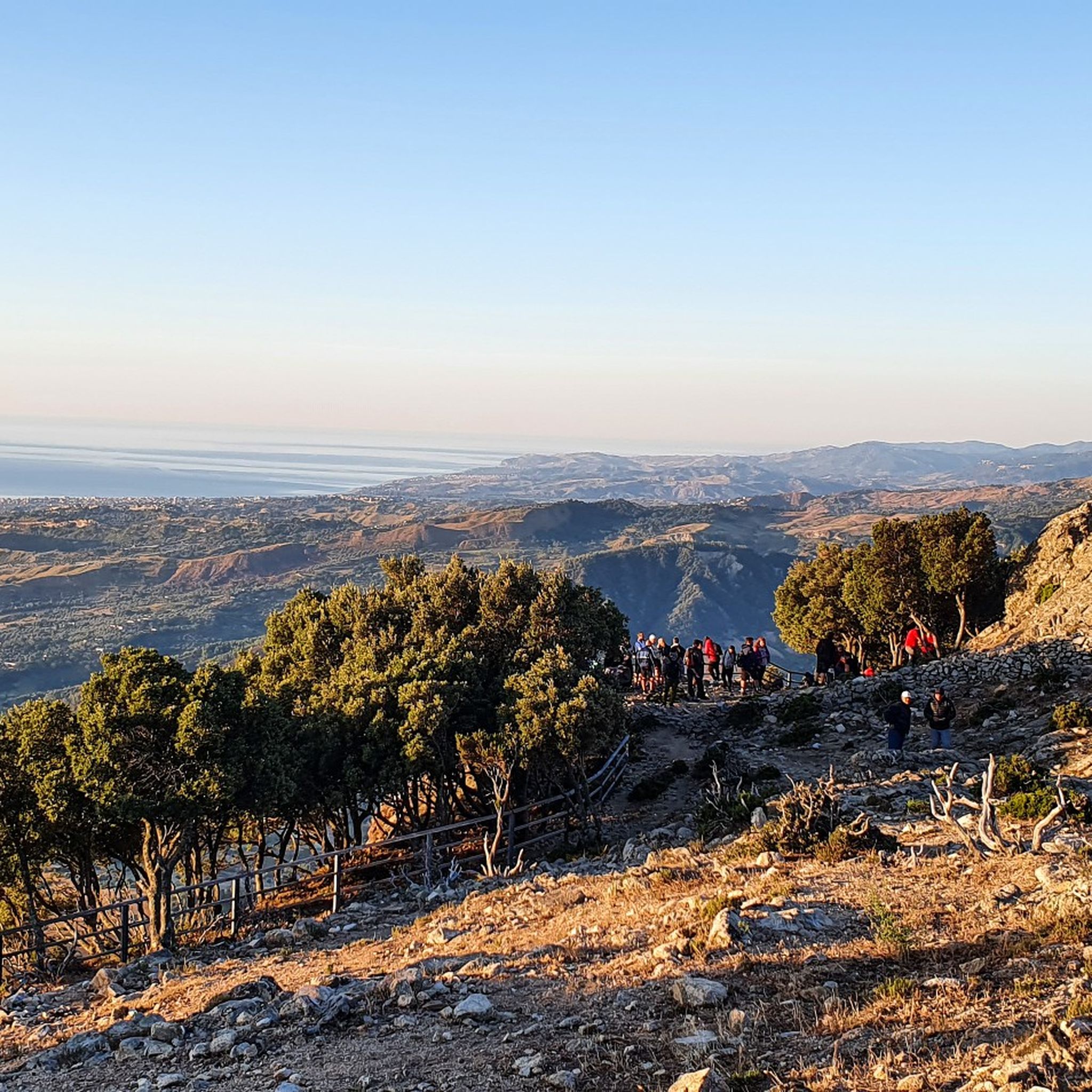
Beautiful panorama overlooking the Ionian and Tyrrhenian Sea.
2
0


The step of the Zita or "the step of the fiancée" tells a sad story from the Middle Ages of the death of a girl named Caterina. The story tells of a girl who kills herself because she doesn't want to marry the man chosen for her. Legend says that she was in love with someone else.
5
0

Following the Sentiero dell'English you can reach Mount Grosso, and enjoy the amazing panoramic view of the Amendolea river and the surrounding mountains.
4
0
Monte Tre Pizzi, known for its three-peaked shape, is a 700 meter elevation located between the municipalities of Antonimina and Ciminà, on the borders of the Aspromonte National Park. From its top, you can enjoy a panorama that extends from the Gerace fortress to the Ionian coast, and the ruins of an ancient convent of hermit friars, probably from the 12th century, known as "The little church of the Three Pizzi" are visible.
2
0

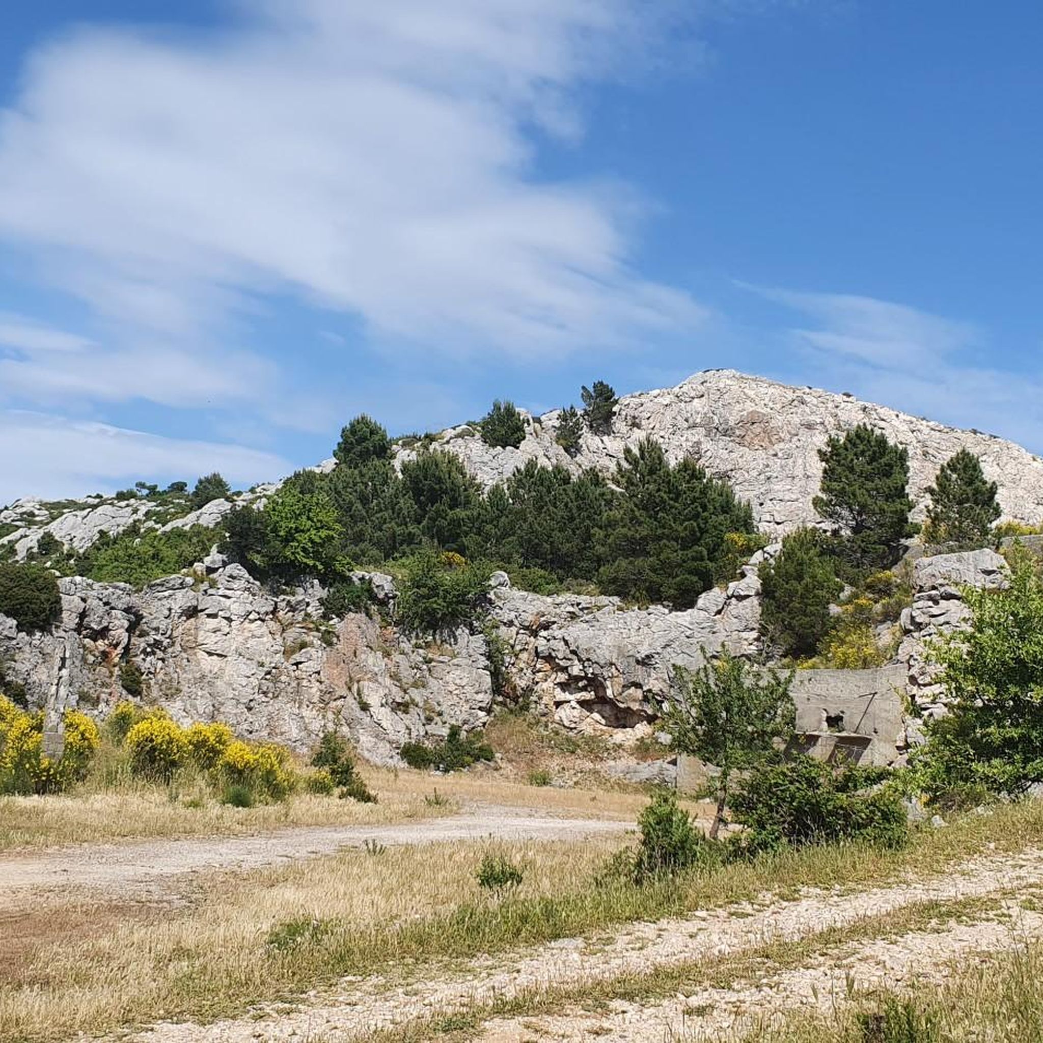
A sight to behold, the great resemblance to the Dolomites is due to the same geological formation.
0
0


This pass, above Bova, owes its name to a medieval legend of a certain Caterina, the Zita, i.e. the fiancée. Legend has it that she committed suicide in order not to marry the man she was destined for, as she was in love with another man
0
0
Frequently Asked Questions
What are some of the most prominent mountain peaks in Parco Nazionale dell'Aspromonte?
The Parco Nazionale dell'Aspromonte features several notable peaks. Among them, Montalto (1956 m) stands out as the highest, offering extensive panoramic views. Other significant peaks include Monte Basilico, known for its dense forests, and Pietra Cappa, a striking monolith recognized for its unique geological features.
Which mountain peaks offer the best panoramic views in the Aspromonte National Park?
For breathtaking panoramic views, Montalto (1956 m) is unparalleled. On clear days, you can see across the Ionian and Tyrrhenian Seas, Sicily, and even Mount Etna. Other excellent viewpoints include Passo della Zita, View of the Amendolea River from Monte Grosso, and Monte Scaparone, which offers a unique perspective of the Ionian Sea.
Are there any unique geological formations or natural monuments to see among the Aspromonte peaks?
Yes, the Aspromonte region is rich in unique geological features. Monte Mutolo is known for its distinctive rock formations, often described as the 'Southern Dolomites' due to its geological resemblance. Pietra Cappa, located in the Valley of the Great Stones, is another iconic landmark, standing as one of Europe's largest monoliths and offering insights into the area's geological history.
What is the highest peak in the Aspromonte National Park and how accessible is it?
The highest peak in the Aspromonte National Park is Montalto (1956 m). It's considered an 'Ultra mountain' due to its prominence. A relatively easy and short path, about 1 km long, leads to the summit from a trailhead that is accessible from Gambarie, making it quite approachable for hikers.
Are there family-friendly hiking options among the peaks in Parco Nazionale dell'Aspromonte?
Yes, there are options suitable for families. While some peaks require more effort, the path to the summit of Montalto from Gambarie is relatively easy and short. Additionally, the Passo della Zita is listed as family-friendly and offers a historical narrative alongside panoramic views.
What kind of nature and wildlife can I expect to see in the Aspromonte mountains?
The Aspromonte mountains are characterized by diverse ecosystems. You'll find dense forests of beech, silver fir, chestnut, and oak, particularly on the slopes of Monte Basilico. The park is home to a variety of wildlife, including the Apennine wolf, golden eagle, and various endemic plant species, making it a rich environment for nature observation.
Are there historical or cultural points of interest related to the peaks in Aspromonte?
Yes, Passo della Zita is a significant historical site. It's known for a medieval legend about a girl named Caterina, the 'Zita' (fiancée), who tragically ended her life there. The pass offers both a panoramic vista and a compelling historical narrative.
What is the best time of year to visit the mountain peaks in Aspromonte?
The best time to visit the mountain peaks in Aspromonte is generally during the spring, summer, and early autumn months (May to October) when the weather is mild and trails are most accessible. During these periods, you can fully enjoy hiking and the panoramic views. Winter can bring snow, offering different opportunities for experienced winter hikers, but many trails may be challenging or inaccessible.
Are there easy hiking trails suitable for beginners around the Aspromonte peaks?
Yes, there are several easy hiking trails. For example, a relatively easy and short path leads to the top of Montalto from Gambarie. You can also find easy routes like the 'Waterfalls Trail' or 'Anello del Sentiero di Basilicò' which are part of the easy hikes around Parco nazionale dell'Aspromonte guide.
What outdoor activities can I do near the mountain peaks in Parco Nazionale dell'Aspromonte?
Beyond peak bagging, the area offers extensive opportunities for hiking, biking, and horseback riding on well-marked trails. You can explore various routes, including those featured in the waterfall hikes guide or the running trails guide, which include routes like the 'Gambarie - ring tour' and 'Monte Basilicò from Gambarie'.
What makes Pietra Cappa a significant landmark in Aspromonte National Park?
Pietra Cappa is a significant landmark due to its impressive size and unique geological nature. It's a striking monolith rising about 140 meters from the valley floor, making it one of the largest in Europe. Its dolomitic composition provides valuable insights into the geological history of the Aspromonte plateaus, and local folklore adds to its mystique.
Are there any specific trails recommended for experiencing the forests of Aspromonte?
Yes, the slopes of Monte Basilico are particularly renowned for some of the finest fir and beech forests within the park. The 'Sentiero Verde' (Green Path) number 210, starting from Gambarie, offers a pleasant ramble lasting approximately 5 hours to reach the summit through these lush woodlands.
Most popular routes around Parco nazionale dell'Aspromonte
Most popular attractions around Parco nazionale dell'Aspromonte

Get inspired with the komoot mobile app


Explore more
See even more amazing summits around Parco nazionale dell'Aspromonte with these guides:
