The best hikes from bus stations around Parco nazionale dell'Aspromonte
4.4
(388)
1,598
hikers
21
hikes
Bus station hiking trails around Parco nazionale dell'Aspromonte navigate a landscape defined by the Aspromonte massif, part of the Apennine mountain range in southern Italy. The region features dramatic geological formations, including steep cliffs, deep gorges, and rolling hills. Hikers encounter diverse forests of beech, silver fir, chestnut, and oak, alongside numerous rivers and waterfalls. The park's terrain offers varied elevations, from lower Mediterranean maquis to the higher peaks of the massif.
Best bus station hiking trails around Parco nazionale…
Last updated: July 12, 2026
4.8
(8)
38
hikers
5.08km
01:28
130m
130m
Embark on the Anello del Sentiero di Basilicò, an easy hiking route that takes you through a tranquil, forested environment within the Aspromonte National Park. This loop covers 3.2 miles…
4.2
(13)
33
hikers
10.9km
03:36
510m
510m
Moderate hike. Good fitness required. Easily-accessible paths. Suitable for all skill levels.

Sign up for free
5.0
(3)
19
hikers
25.8km
07:48
820m
820m
Hard hike. Very good fitness required. Easily-accessible paths. Suitable for all skill levels.
4.6
(5)
13
hikers
5.78km
01:43
190m
190m
Easy hike. Great for any fitness level. Easily-accessible paths. Suitable for all skill levels.
5.0
(2)
6
hikers
15.9km
05:00
620m
620m
Moderate hike. Good fitness required. Easily-accessible paths. Suitable for all skill levels.
Get access to more routes and recommendations from other explorers.
Sign up for free
Already have an account?
Our route recommendations are based on thousands of hikes, rides, and runs completed by other people on komoot.
Start today with a free account
Your next adventure awaits.
Login or Signup
Popular around Parco nazionale dell'Aspromonte
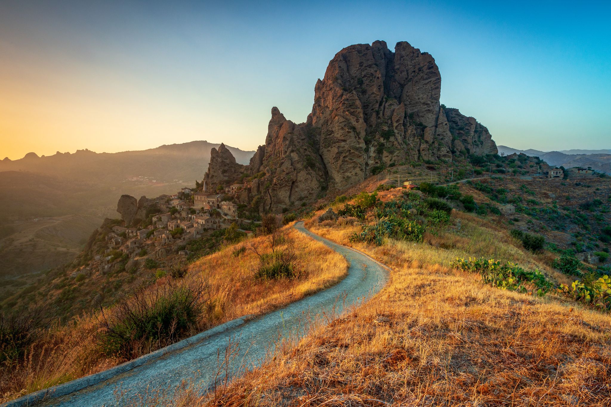
Tracing Edward Lear’s journey through Calabria – Sentiero dell'Inglese

Along the backbone of Calabria – Sentiero Italia
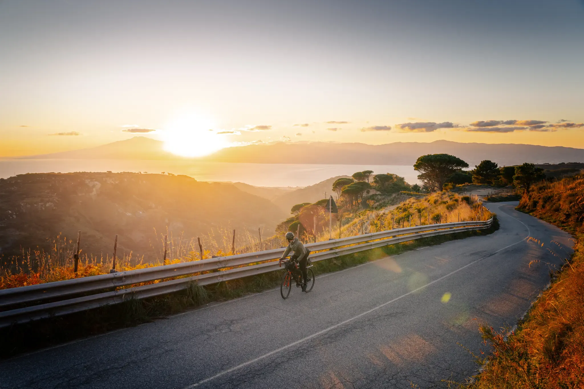
Cycle through the colourful heart of Italy’s Calabria – Ciclovia Parchi
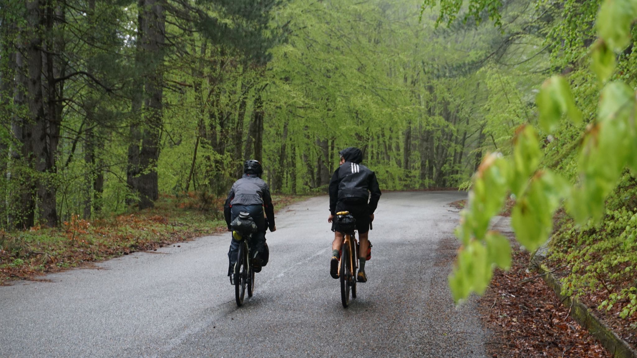
The unexpected mountain – Ciclovia Parchi Calabria
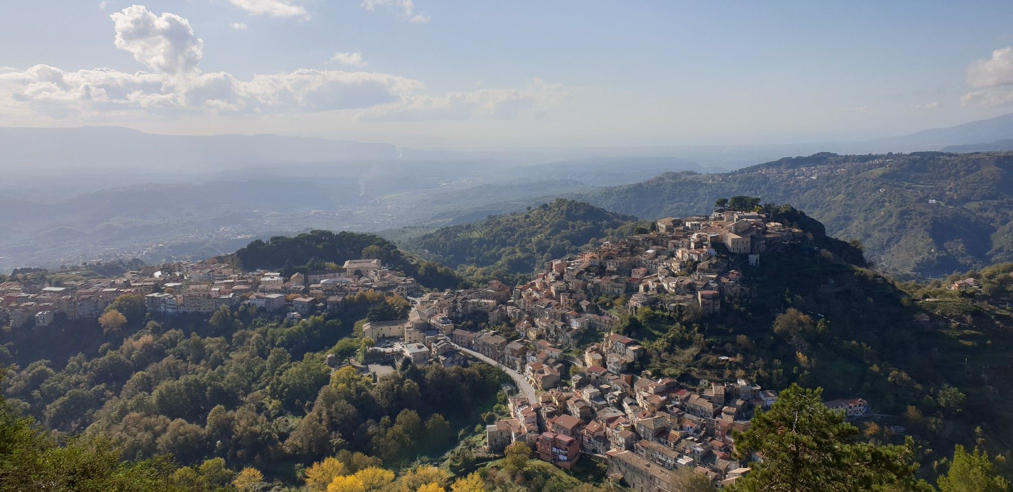
Explore art and culture in Italy – cycling Tours in Calabria's National Parks
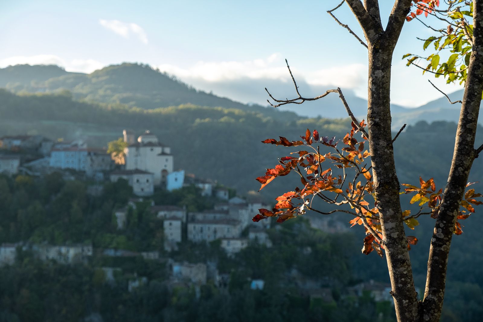
History and faith – exploring Calabria's National Parks in southern Italy
Other adventures around Parco nazionale dell'Aspromonte


Tips from the Community


The region is known for its spicy, bold cuisine – 'nduja, caciocavallo cheese, wild herbs, local wines (like Greco di Bianco) and olive oil from mountain farms. It is also an area with a strong identity, with the Greek-Calabrian language spoken in some villages.
1
0
The perfect place for detox and contact with nature. The area is one of the most inaccessible and untouched mountain ranges in Italy. Aspromonte National Park is beech forests, rare plants and animals (e.g. wolves, golden eagles), waterfalls and spectacular panoramas - from the Tyrrhenian Sea to Sicily and Etna. And above all, no crowds.
1
0
Gambarie is a small mountain village located at an altitude of approximately 1,350 m above sea level in the Calabria region in the Aspromonte National Park.
1
0

During floods, the Torrente Saltolavecchia must be passed barefoot, depending on the water level
5
0
Here the hiking trails 100 and 122 branch off
5
0

Gambarie, in the heart of the Aspromonte National Park at 1,310 m above sea level, is a charming mountain resort in Santo Stefano in Aspromonte, Reggio Calabria. Founded in the 1920s, it offers both summer and winter attractions. Hiking trails, ski slopes and breathtaking views from Etna to the Aeolian Islands.
3
0
This stretch of trail passes near Monte Basilicò, offering a taste of the lush forests of the Aspromonte Park.
3
0
Frequently Asked Questions
How many bus-accessible hiking trails are available in Parco Nazionale dell'Aspromonte?
There are 18 dedicated hiking trails in Parco Nazionale dell'Aspromonte that are easily accessible from bus stations, offering a variety of experiences for all skill levels.
What types of landscapes can I expect on bus-accessible hikes in Aspromonte?
The bus-accessible trails in Aspromonte traverse a diverse landscape, from dense forests of beech and silver fir at higher elevations to chestnut and oak woodlands at lower altitudes. You'll encounter rugged peaks, deep gorges, and rolling hills, characteristic of the Aspromonte massif. Many routes also follow the 'fiumare' valleys, offering scenic river views.
Are there any easy, family-friendly hikes reachable by bus?
Yes, there are several easy routes perfect for families. For example, the Anello del Sentiero di Basilicò is a gentle 5 km loop, and the Hiking loop from Gambarie is another easy option at just under 6 km, both offering pleasant walks without significant elevation gain.
Can I find circular routes that start and end at a bus stop?
Absolutely. Many of the bus-accessible trails are designed as circular routes, allowing you to return to your starting point without needing additional transport. Examples include the Basilicò Trail – Vallescura Waterfall loop from Gambarie and the Laghetto Rumia – Torrente Saltolavecchia loop from Gambarie.
Are there any waterfalls accessible on these bus station hikes?
Yes, the park is known for its beautiful waterfalls. The Basilicò Trail – Vallescura Waterfall loop from Gambarie will lead you to the scenic Vallescura waterfall. Other notable waterfalls in the region include Cascate Maesano (Amendolea Falls) and the Mundu and Galasia waterfalls, which may be accessible via other routes or short detours.
What are some notable landmarks or viewpoints I can reach on these trails?
While hiking from bus stations, you can discover several interesting points. The region offers stunning views, such as the View of Amendolea and the Aspromonte Mountains. You might also pass by historic structures like the San Giorgio Morgeto Castle or the Norman Castle of Gerace, depending on your chosen route.
What is the best time of year to hike in Parco Nazionale dell'Aspromonte?
Spring and autumn are generally considered the best seasons for hiking in Parco Nazionale dell'Aspromonte. The weather is milder, and the landscapes are vibrant with spring blooms or rich autumn colors. Summer can be hot, especially at lower elevations, but higher trails offer cooler temperatures. Winter hiking is possible but requires appropriate gear due to snow and colder conditions, particularly on higher peaks.
Are there any challenging bus-accessible hikes for experienced trekkers?
Yes, for those seeking a more strenuous adventure, the Madonna della Salute Church – Pietra Salva loop from Gambarie is a difficult 25.8 km route with significant elevation gain, offering a rewarding challenge for experienced hikers.
What do other hikers enjoy most about the trails in Parco Nazionale dell'Aspromonte?
The trails in Parco Nazionale dell'Aspromonte are highly rated by the komoot community, with an average score of 4.5 stars from over 300 ratings. Reviewers often praise the park's wild, untouched nature, the panoramic views, and the sense of tranquility found on its paths. The diverse landscapes, from dense forests to rugged peaks, are frequently highlighted as major attractions.
Are dogs allowed on the bus-accessible hiking trails?
Generally, dogs are permitted on hiking trails in Parco Nazionale dell'Aspromonte, but they should be kept on a leash, especially in areas with wildlife or near livestock. It's always advisable to check specific trail regulations or local signage, as rules can vary. Ensure your dog is well-behaved and that you carry waste bags to maintain the park's cleanliness.
What is the highest point I can reach on a bus-accessible trail?
While Montalto, the highest peak at 1,955 meters, offers incredible panoramic views, direct bus access to its summit trails might be limited. However, many bus-accessible routes, particularly those starting from areas like Gambarie, provide access to high-altitude sections of the park, offering stunning vistas and challenging climbs without necessarily reaching the absolute highest point directly from a bus stop.
Most popular routes around Parco nazionale dell'Aspromonte
Most popular attractions around Parco nazionale dell'Aspromonte

Get inspired with the komoot mobile app


