The 6 Most Amazing Peaks around Großeutersdorf
Mountain peaks around Großeutersdorf are characterized by rolling hills and picturesque valleys, offering elevated points and unique rock formations. The region's landscape provides opportunities for outdoor activities and scenic views. The Dohlenstein rock formation is a prominent natural landmark, visible from the Saale valley. These features make the area suitable for hiking and exploring natural high points.
Best mountain peaks around Großeutersdorf
- The most popular mountain peaks is Dohlenstein, a natural monument that stands 200 meters above the Saale…
Last updated: June 27, 2026
Dohlenstein
Highlight • Natural Monument
More information: de.wikipedia.org/wiki/Dohlenstein
Translated by Google •
Tip by

Jena-Göschwitz station
Highlight • Rest Area
Take-away lunch is available on platform 3/4 from Monday to Friday. All dishes cost € 5.
Bockwurst sausages, Viennese, …
Translated by Google •
Tip by

Sign up now to discover places like this
Get recommendations on the best single tracks, peaks, & plenty of other exciting outdoor places.
Sign up for free
Alpine Ascent to Dohlenstein and Trail to Leuchtenburg
Highlight • Trail
Translated by Google •
Tip by

Hilltop near Dürrengleina
Highlight • Viewpoint
Translated by Google •
Tip by

Summit Cross In The Long Pines
Highlight • Summit
Translated by Google •
Tip by

Sign up for free to discover even more peaks around Großeutersdorf.
Sign up for free
Already have an account?
Start today with a free account
Your next adventure awaits.
Login or Signup
Tips from the Community


There are two clearly defined alpine ascents that are easily manageable with trekking poles. Beyond these, there are other routes, but these carry a slightly higher risk of slipping. This risk can be reduced by wearing very good hiking boots, using trekking poles effectively, and having absolute sure footing. Any injuries can be mitigated by reacting quickly and correctly if you do slip. A free fall is out of the question as long as you're not climbing. Given the loose rock, climbing is not advisable anyway.
0
0

You can do the trail without climbing equipment. However, it's very steep, sometimes slippery, and unsecured. In my opinion, it's very dangerous when wet. Fantastic views!
0
0
Yes, you could say that: you don't need climbing equipment. But it's steep, sometimes slippery, and not doable when wet. Fantastic view from the top!
0
0

Not far from the train station, two beautiful historic steel truss bridges lead over the Saale to the hiking trails to Leuchtenburg. It's worth looking at the river and the beavers' tracks from here!
2
0


I liked it. At least 6 platforms. With shelters. Ideal for starting and ending hikes.
1
0

The view of the rock from the bike path. A few daring people try to climb up here again and again. A little hint; let it go. The rock is brittle and very loose. The rescue from the wall is only possible with great effort. So just look up in awe and hope that the Leuchtenburg doesn't accidentally come your way.
1
0
Frequently Asked Questions
What are the most prominent elevated points or 'peaks' to visit around Großeutersdorf?
The most prominent elevated point is the Dohlenstein, a natural monument standing 200 meters above the Saale valley. Other notable spots include the Hilltop near Dürrengleina, offering expansive views, and the Zimmritzer Höhe, a 447-meter high point with a hut.
What kind of views can I expect from the elevated points in the Großeutersdorf area?
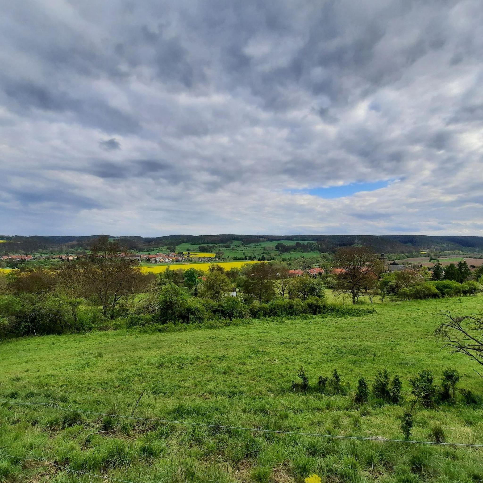
From the summit of the Dohlenstein, you can enjoy a breathtaking panorama over the Saale valley. The Hilltop near Dürrengleina also provides beautiful foresight in all directions. While the Summit Cross In The Long Pines is a high point, it is located in the middle of the woods and does not offer valley views.
Are there any unique geological features to see among the elevated points?
Yes, the Dohlenstein is geologically significant as a large, active landslide area. It features a distinctive bright white, vertical rock face formed by layers of Muschelkalk overlying Buntsandstein units, with almost horizontal sediment layers clearly visible against the darker forest.
What is the best time of year to visit the elevated points around Großeutersdorf?
The region's rolling hills and valleys are generally suitable for hiking and cycling throughout the warmer months, from spring to autumn. Spring offers blooming landscapes, while autumn provides vibrant foliage. While winter hiking is possible, some trails, like the 'Alpine Ascent to Dohlenstein', can be very steep and slippery when wet or icy, making them dangerous.
Are there family-friendly hiking options to reach these elevated points?
The landscape directly surrounding Großeutersdorf features gentle hills and valleys, with elevation gains on local trails typically ranging from easy to moderate. For easy hikes suitable for families, you can explore routes like 'View of Kleineutersdorf – Walpersberg Historic Site loop from Großeutersdorf' or 'Saale Weir, Kahla – Eutersdorf Swinging Bridge loop from Kahla'. You can find more options in the Easy hikes around Großeutersdorf guide.
What kind of outdoor activities can I do near the elevated points around Großeutersdorf?
Beyond hiking to viewpoints, the area is excellent for cycling. You can find various routes for mountain biking in the MTB Trails around Großeutersdorf guide, including routes like 'Where the Orla flows into the Saale – Ratsberg Shelter loop from Großeutersdorf'. For gravel biking, explore options in the Gravel biking around Großeutersdorf guide.
Are there any historical or cultural sites near the elevated points?
The Dohlenstein itself has historical significance, having been settled in prehistoric times. It also forms a spectacular view alongside the nearby Leuchtenburg castle, often referred to as the 'Queen of the Saale Valley'.
What are the difficulty levels for hiking to the elevated points?
Most local trails to elevated points are considered easy to moderate. However, some routes, like the 'Alpine Ascent to Dohlenstein', are steep, sometimes slippery, and unsecured, making them challenging and potentially dangerous when wet. Always check conditions and choose routes appropriate for your experience level.
Are dogs allowed on the trails leading to the elevated points?
Generally, dogs are welcome on hiking trails in the Großeutersdorf region. However, it's always advisable to keep them on a leash, especially in nature protection areas or near wildlife. For specific trails, check local signage or trail descriptions for any restrictions.
Where can I find parking for trails leading to these elevated points?
Specific parking information varies by trailhead. Many popular starting points for hikes in the region, particularly those leading to well-known viewpoints or natural monuments like the Dohlenstein, typically have designated parking areas nearby. It's recommended to check the starting point of your chosen route on komoot for detailed parking suggestions.
What do visitors appreciate most about the elevated points in Großeutersdorf?
Visitors frequently highlight the 'breathtaking panorama over the Saale valley' from spots like the Dohlenstein and the 'beautiful foresight in all directions' from the Hilltop near Dürrengleina. The geological uniqueness of the Dohlenstein and the visible rock strata are also points of interest.
Most popular routes around Großeutersdorf
Most popular attractions around Großeutersdorf

Get inspired with the komoot mobile app


Explore more
See even more amazing summits around Großeutersdorf with these guides:
