The 13 Most Amazing Peaks around Edelsfeld
Best mountain peaks around Edelsfeld are found in the Franconian Jura, an area characterized by elevated natural formations and scenic viewpoints. The region around Edelsfeld, situated at approximately 528 to 532 meters above sea level, features unique geological formations rather than towering alpine peaks. These include impressive karst rock labyrinths and various summits offering panoramic views. The area provides numerous hiking opportunities to explore its natural beauty and elevated terrain.
Best mountain peaks around Edelsfeld
- The most popular mountain peaks…
Last updated: August 20, 2026
Ossinger Observation Tower and Ossinger Hut
Highlight • Viewpoint
Translated by Google •
Tip by

St. John's Chapel Above Königstein
Highlight • Religious Site
Translated by Google •
Tip by

Sign up now to discover places like this
Get recommendations on the best single tracks, peaks, & plenty of other exciting outdoor places.
Sign up for free
Hartenfels Summit and Castle Ruins
Highlight • Summit
Translated by Google •
Tip by

Gottvaterberg
Highlight • Summit
Translated by Google •
Tip by
The Hartenfels – Geology and History
Highlight • Historical Site
Translated by Google •
Tip by
Sign up for free to discover even more peaks around Edelsfeld.
Sign up for free
Already have an account?
Start today with a free account
Your next adventure awaits.
Login or Signup
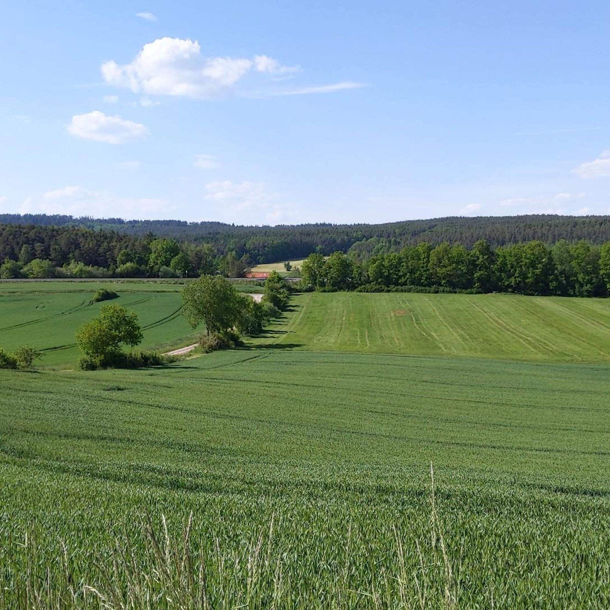
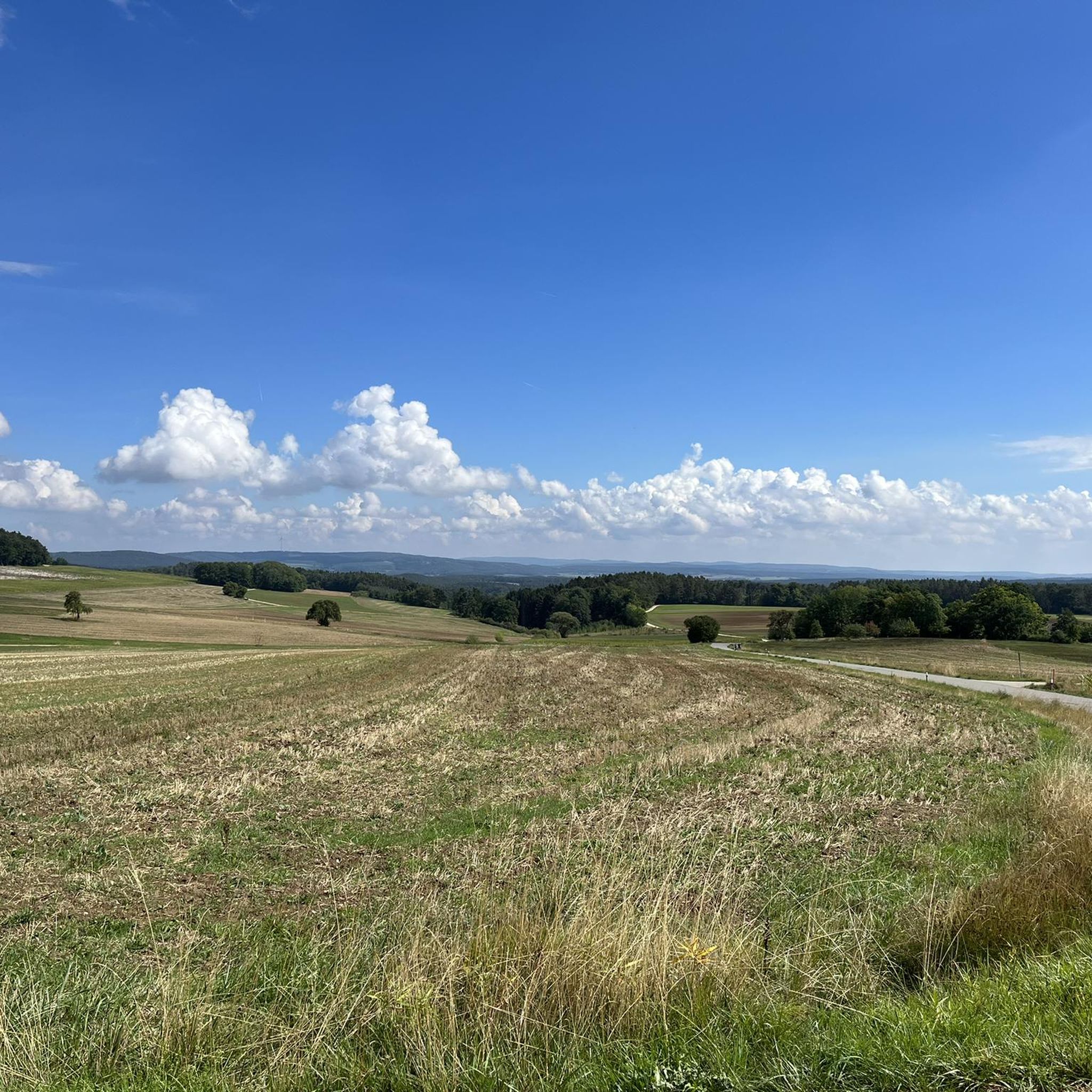
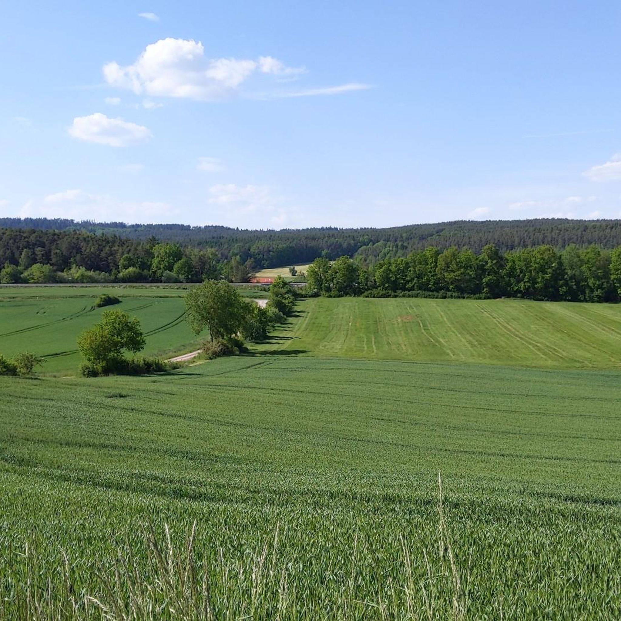
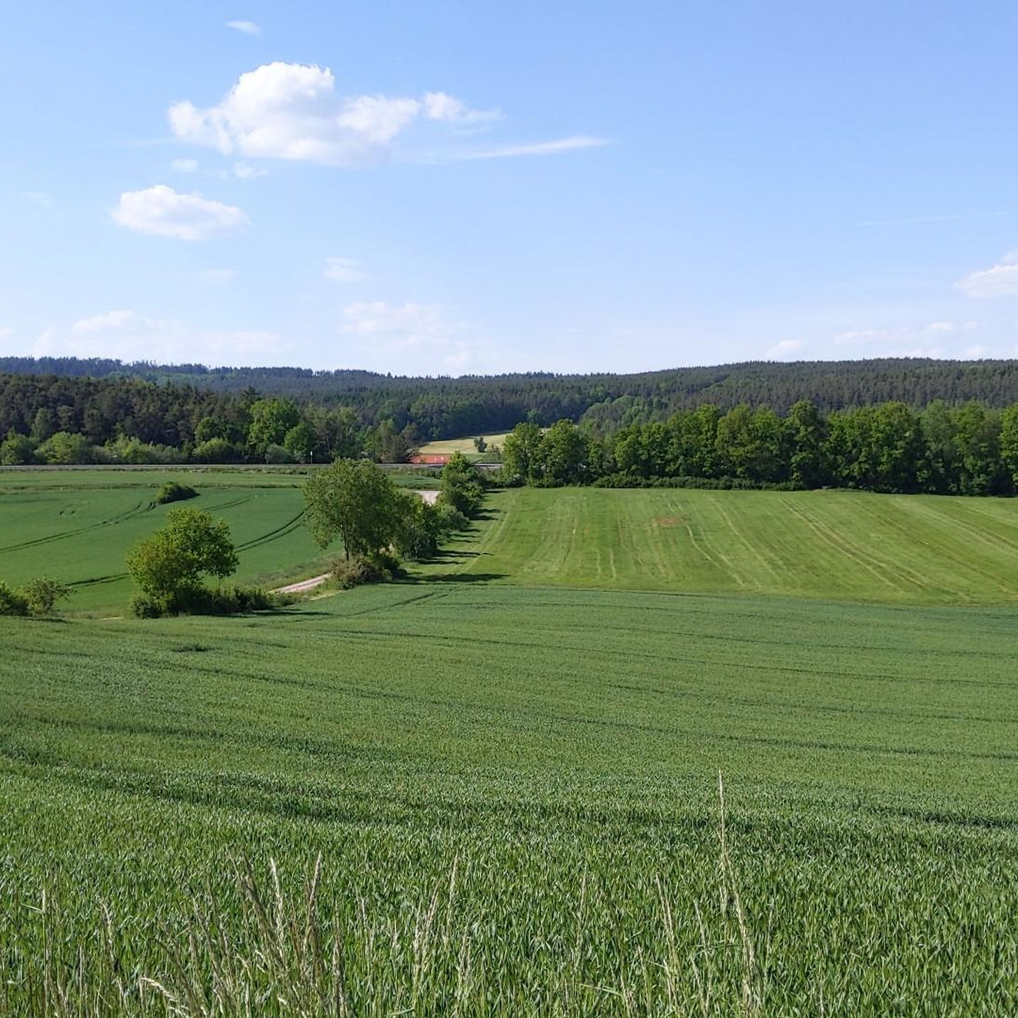

Tips from the Community

Burgstall Hartenfels The site of the abandoned spur castle is located in the Middle Franconian Jura, on a southwest-facing rocky spur of the Great Hartenfels at 530.6 m above sea level. The castle was probably built during the 13th century by the Lords of Neidstein, but there is no mention of the castle itself. It is only mentioned indirectly in a document dated February 21, 1268, in the name of Heinrich von Hertenvels. In addition to the high medieval fortification on the Hartenfels, there are also the remains of a prehistoric structure at the same location. A long section of the rampart, about half a meter high, has been preserved, which arches around the mountain spur outside the moat of the medieval castle and thus sealed it off. Today, the site of the former castle is completely overgrown with forest, and only two ditches and the remains of the foundation walls of the former ring wall have survived. The former hilltop castle was once divided into two areas, an outer bailey at the transition from the spur to the flat summit area or plateau of the Hartenfels, and a main castle at the rocky tip of the mountain spur, in the best protected place by nature. The outer bailey was protected by a two-meter-deep and about ten-meter-wide moat. The area of the outer bailey is irregularly shaped, as it was adapted to the rocky terrain between the plateau and the rocky spur. As it was easily attacked from the plateau, it had to be protected on its north-east side by a strong wall, of which a 4.50-meter-wide and one-meter-high rampart still remains. Approximately in the middle of this rampart, a 3.80-meter-wide break gives an idea of the former entrance to the castle, and even today you enter the castle grounds at this point. The main castle has a trapezoidal area about 50 meters long and 25 meters wide. On its west and south sides it is well protected by the vertical drop of the rocks by several meters and the steep eastern slope also offered sufficient protection. Only at the northwest corner is a small remnant of a wall still visible above ground. There are no further traces of construction on the flat surface of the main castle, apart from an almost square pit in the middle of the area. This pit measures 4 by 3.50 meters and could be the remains of a cistern or a cellar room. Source: Excerpts from www.wikipedia.de
2
0

The St. John's Chapel is located above Königstein and is definitely worth a climb on the beautiful hiking trails.
0
0

Chapel on a beautiful hill. Very idyllic
1
0
A beautiful hill for a chapel, very idyllic.
1
0

Very beautiful chapel. The view from there is also highly recommended.
2
0

From the Hartenfels with its summit cross that can be seen from afar, you have a beautiful view of Neukirchen and the surrounding area. To get to the vantage point, you either leave your bike where it is or push it up the stairs, but the view makes up for the effort. Don't forget to enter the summit book 😉.
5
0

Recommended destination with refreshments. However, the hut is not always open, so clarify beforehand. The location is very nice.
10
0

The summit book is in a metal box on the summit cross. You can perpetuate yourself there.
3
0
Frequently Asked Questions
What kind of elevated natural formations can I expect around Edelsfeld?
The Edelsfeld region, part of the Franconian Jura, features elevated natural formations and scenic viewpoints rather than towering alpine peaks. You'll find impressive karst rock labyrinths and various summits offering panoramic views, with elevations typically around 528 to 532 meters above sea level.
What are some of the most notable viewpoints in the Edelsfeld region?
For breathtaking panoramic views, visit the Ossinger Observation Tower and Ossinger Hut, which offers an unforgettable vista of the Franconian and Upper Palatinate country. Another excellent spot is Gottvaterberg, a 550m high summit with benches to enjoy the surrounding panorama. The St. John's Chapel Above Königstein also provides a wonderful view over Königstein.
Are there any unique geological formations to explore near Edelsfeld?
Yes, the region is known for its unique geological character. You can explore the impressive Weissingkuppe Rock Labyrinth, where natural 'alleys, squares, and streets' have been carved into the rock. Another captivating site is the Stone city with the 'Two Brothers', a complex network of rock formations shaped by natural erosion, offering an absolutely overwhelming landscape to discover.
Which elevated spots around Edelsfeld have historical significance or ruins?
The Hartenfels Summit and Castle Ruins is a geologically and historically remarkable mountain range. It features a mighty rock tower and traces of a medieval castle, offering both natural beauty and a glimpse into the past. Additionally, St. John's Chapel Above Königstein is a small, renovated religious building with historical roots.
Are there family-friendly options for exploring the peaks around Edelsfeld?
Many of the trails and viewpoints around Edelsfeld are suitable for families. Locations like Gottvaterberg offer benches to rest and enjoy the view, making them pleasant for all ages. The karst rock labyrinths, such as Weissingkuppe, provide an engaging and unique experience for children and adults alike, with varied terrain that isn't overly strenuous.
What kind of hiking trails are available near the peaks around Edelsfeld?
The Edelsfeld area offers a variety of hiking trails, from easy to moderate. You can find routes like the 'Viewpoint on the Teufelsweg' loop from Edelsfeld, which is an easy 6.4 km hike, or the 'Eiselbach Brunnerl – Forest Kneipp Pool' loop, a moderate 8.4 km trail. For more options, explore the Hiking around Edelsfeld guide.
What other outdoor activities can I do near the mountain peaks of Edelsfeld?
Beyond hiking, the Edelsfeld region provides opportunities for running and road cycling. You can find various running loops, such as the 'Running loop from Edelsfeld' (4.8 km, easy) or the 'Galgenberg – View of Amberg loop' (11.6 km, moderate). For road cyclists, there are routes like the 'Dagestein Castle – Vilseck Old Town loop' (27 km, moderate). Check out the Running Trails around Edelsfeld and Road Cycling Routes around Edelsfeld guides for detailed routes.
Is it possible to find less crowded trails or viewpoints around Edelsfeld?
While popular spots like the Ossinger Observation Tower can attract visitors, the Franconian Jura offers numerous trails and elevated points. Exploring the various karst rock labyrinths or lesser-known paths, such as those leading to the 'Aussichtspunkt am Teufelsweg', can provide a more tranquil experience away from the main crowds, especially during off-peak hours or weekdays.
What do visitors enjoy most about the elevated spots around Edelsfeld?
Visitors particularly appreciate the stunning panoramic views from places like the Ossinger Observation Tower and Gottvaterberg. The unique geological formations, such as the rock labyrinths, also receive high praise for their distinctive natural beauty. Many enjoy the combination of natural exploration with historical elements found at sites like the Hartenfels Summit and Castle Ruins.
Are there any specific tips for visiting the Ossinger Observation Tower and Hut?
The Ossinger Observation Tower and Ossinger Hut is a popular destination. The hut is typically open on Sundays and public holidays from 10 AM, offering hearty meals like the 'Ossinger Hüttenteller'. The 22-meter high wooden tower provides an excellent all-round view, making the climb well worth it. It's a great spot for a worthwhile excursion.
Can I find places to rest or picnic near the peaks?
Yes, many of the elevated spots and viewpoints are equipped with amenities for visitors. For instance, St. John's Chapel Above Königstein has a bench and table for resting. Similarly, Gottvaterberg offers benches to enjoy the panorama. The Ossinger Hut also provides a place to relax and eat after your hike.
Most popular routes around Edelsfeld
Most popular attractions around Edelsfeld

Get inspired with the komoot mobile app


Explore more
See even more amazing summits around Edelsfeld with these guides:
