The 6 Most Amazing Peaks around Spay
Best mountain peaks around Spay are found within the Rhineland-Palatinate region of Germany, offering elevated points and scenic vistas rather than dramatic alpine peaks. This area is characterized by its hilly landscapes and forests, providing numerous opportunities for outdoor exploration. The region's peaks often feature viewpoints that overlook the Rhine Valley and surrounding natural beauty. Visitors can find a mix of accessible trails and more challenging routes across these elevated terrains.
Best mountain peaks around Spay
- The most popular mountain…
Last updated: October 13, 2026
St. John's Church Niederlahnstein
Highlight • Religious Site
Translated by Google •
Tip by

View of Koblenz and the Rhine Valley from the Kühkopf summit cross and shelter
Highlight • Viewpoint
Translated by Google •
Tip by

Sign up now to discover places like this
Get recommendations on the best single tracks, peaks, & plenty of other exciting outdoor places.
View from Fleckertshöhe
Highlight • Viewpoint
Translated by Google •
Tip by

Rheingold View
Highlight • Viewpoint
Translated by Google •
Tip by
Hirschkopf Summit (302 m)
Highlight • Summit
Translated by Google •
Tip by

Sign up for free to discover even more peaks around Spay.
Already have an account?
Start today with a free account
Your next adventure awaits.




Tips from the Community

St. John's Church, beautiful to look at. Exterior with flood marks
6
0


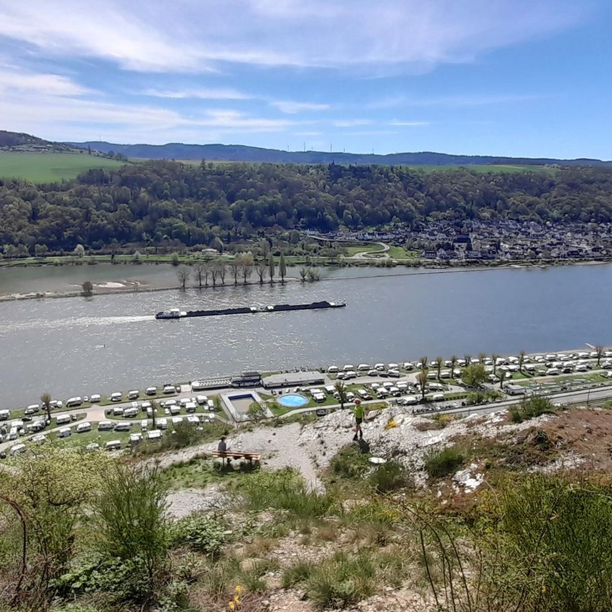
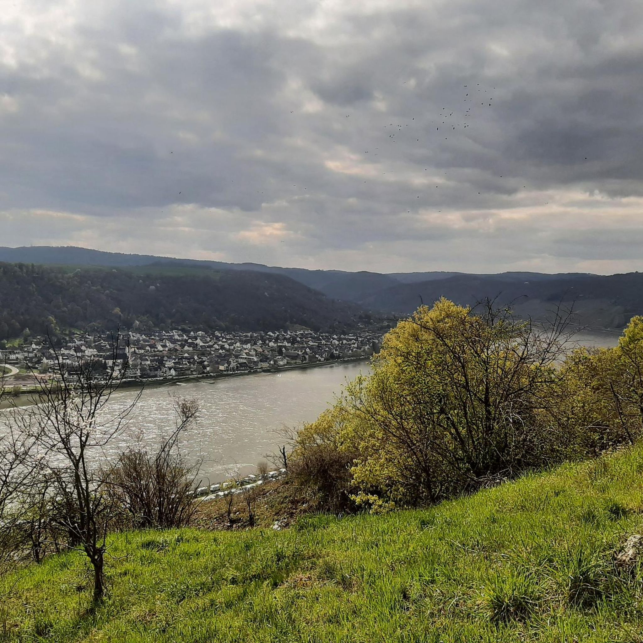
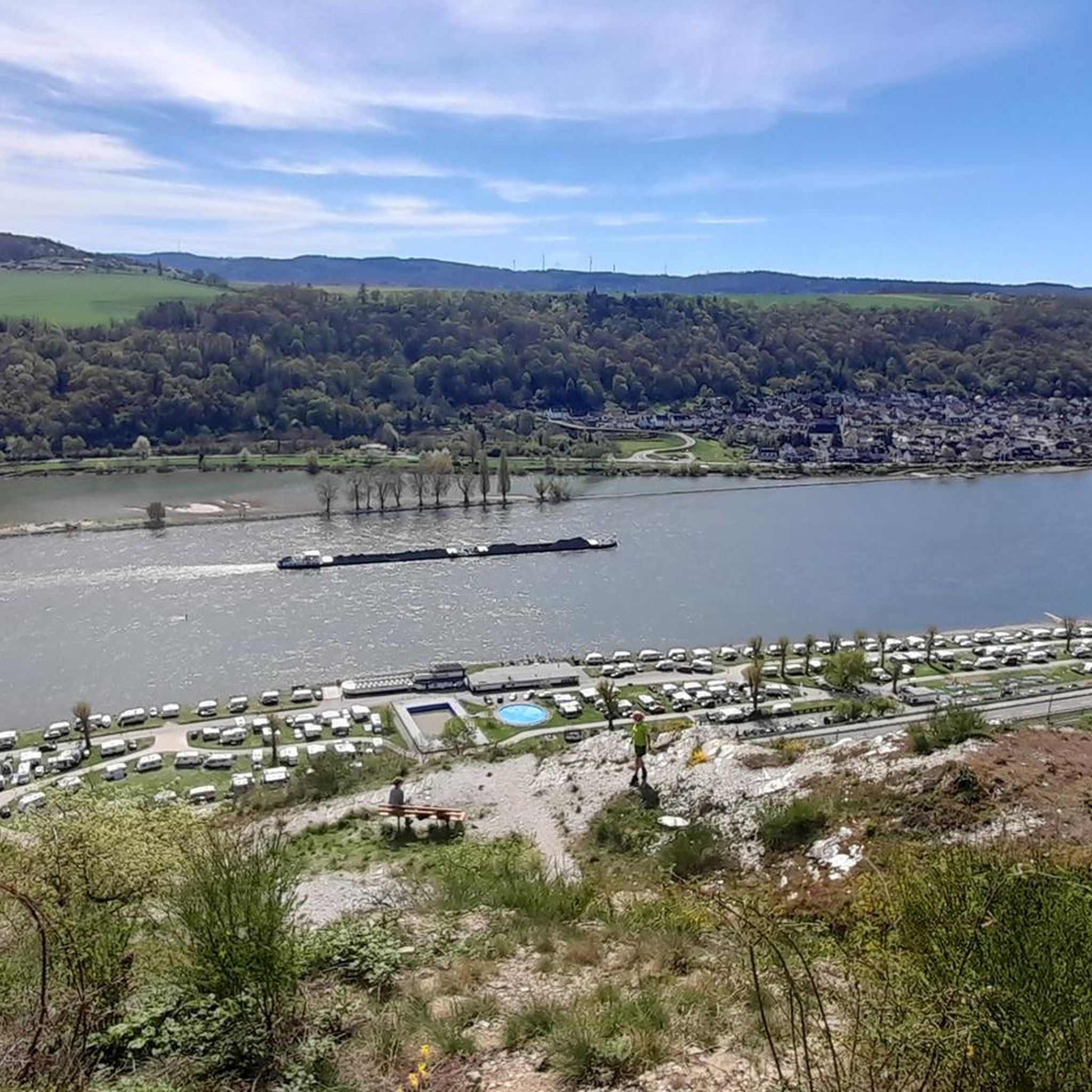
Magnificent view of the Rhine loop
2
0

It is not a beautiful viewpoint, just the highest point on the Hirschkopf
4
0

From the Fleckertshöhe at a height of about 530 meters you have a wonderful view of the Ehrenthaler Werth.
2
0

The Johanneskirche in Niederlahnstein was built around 1130-1136 and is one of the oldest gallery churches on the Middle Rhine. In 1906 it became a monastery church and was integrated into the construction of a tasting facility.
4
0

Beautiful vantage point with a wide view over Koblenz and the Rhine Valley. In addition to a large brick shelter, there are numerous seating options and a large summit cross. Perfect place for a rest😉👍
5
0

The Johanniskirche is a Catholic church in Lahnstein (Rhineland-Palatinate). The late Romanesque basilica, the current building of which was erected in the 12th century, is located with the attached former St. John's monastery of the Congregation of the Sacred Heart of Jesus and Mary not far from the mouth of the Lahn in the Rhine and the private Johannes-Gymnasium Lahnstein in the district of Niederlahnstein. The church, which belongs to the Limburg diocese, bears the patron saint of St. John. Source and more: https://de.wikipedia.org/wiki/Johanniskirche_(Lahnstein)
4
0
Frequently Asked Questions
What are some popular viewpoints and elevated spots around Spay?
The region around Spay offers several popular viewpoints and elevated areas rather than dramatic alpine peaks. Notable spots include View of Koblenz and the Rhine Valley from the Kühkopf summit cross and shelter, which provides expansive views and is a great spot for a break. Another is View from Fleckertshöhe, the highest elevation in Boppard, offering broad vistas. Additionally, Rheingold View is appreciated for its inspiring panorama of the Rhine Valley.
Are there family-friendly mountain walks or viewpoints near Spay?
Yes, several spots are suitable for families. The View of Koblenz and the Rhine Valley from the Kühkopf summit cross and shelter is categorized as family-friendly, offering benches and a hut for breaks. The View from Fleckertshöhe and Rheingold View are also noted as family-friendly viewpoints, providing accessible scenic experiences.
Where can I find parking for mountain hikes around Spay?
For those driving, the View from Fleckertshöhe offers parking that is also suitable for mobile homes, complete with a table and bench. This makes it a convenient starting or stopping point for exploring the area.
What kind of hiking trails can I expect near Spay's elevated areas?
The region offers a variety of hiking experiences. You can find trails leading to viewpoints like the Kühkopf summit cross, which is part of an intermediate trail through the forest. For more challenging options, the area around Spay includes difficult mountain hikes such as the Rupperts Gorge and the Oelsberg Via Ferrata. You can explore these and other routes in the Mountain Hikes around Spay guide.
Are there any historical or cultural sites on or near the peaks around Spay?
Yes, the region combines natural beauty with historical significance. For instance, St. John's Church Niederlahnstein, built around 1130, is the oldest gallery church on the Middle Rhine and is located near the mouth of the Lahn in the Rhine. It's also part of the Way of St. James, with an inscription showing the distance to Santiago de Compostela.
What outdoor activities, besides hiking, are available near Spay's elevated areas?
Beyond hiking, the area around Spay is excellent for cycling. You can find numerous routes for road cycling, such as those detailed in the Road Cycling Routes around Spay guide. Gravel biking is also popular, with routes like the 'View of Marksburg Castle' loop, which you can explore in the Gravel biking around Spay guide.
What natural features can I see from the elevated points around Spay?
From the various elevated points, you can enjoy magnificent views of the Rhine Valley, including the Rhine loop and the city of Koblenz. The region is characterized by hilly landscapes and forests, offering diverse perspectives of the surrounding natural beauty. The Hirschkopf Summit (302 m), for example, provides a great view of the Rhine loop.
What do visitors enjoy most about the mountain peaks and viewpoints near Spay?
Visitors particularly enjoy the expansive and inspiring panoramas of the Rhine Valley. Many highlights, like the Kühkopf summit cross, are praised as perfect places for a break with great views. The combination of scenic beauty, opportunities for outdoor activities, and the presence of amenities like huts and benches at viewpoints are highly valued.
Are there any specific facilities available at the viewpoints?
Yes, some viewpoints offer facilities to enhance your visit. For instance, the View of Koblenz and the Rhine Valley from the Kühkopf summit cross and shelter features benches and a hut, making it a comfortable spot for a break. The View from Fleckertshöhe also has parking suitable for mobile homes, complete with a table and bench.
What is the highest elevation point in the immediate vicinity of Spay?
The highest elevation in the city of Boppard, which is in the immediate vicinity, is the View from Fleckertshöhe, standing at 531 meters above sea level. It is characterized by a 100-meter high transmission mast.
Can I find forest trails among the elevated areas around Spay?
Yes, many of the elevated points and trails around Spay are situated within forested areas. The View of Koblenz and the Rhine Valley from the Kühkopf summit cross and shelter is accessible via an intermediate trail that passes through a forest. Similarly, the Hirschkopf Summit (302 m) is also a forest-covered summit.
Most popular attractions around Spay

Get inspired with the komoot mobile app


Explore more
See even more amazing summits around Spay with these guides:
