The best mountain hikes around Spay
4.0
(4)
19
hikers
4
hikes
Mountaineering routes around Spay are characterized by the dramatic landscapes of the Middle Rhine Valley, featuring deep river gorges and elevated viewpoints. The region offers a mix of challenging ascents and scenic paths along the riverbanks. Terrain often includes forested slopes, rocky sections, and exposed ridges, providing varied experiences for mountaineers.
Best mountaineering routes around Spay
- The most popular mountaineering route is Rupperts Gorge – Lahnblick Viewpoint loop from Lahnstein, a 1.8 miles (2.9 km) trail that takes 1…
Last updated: October 5, 2026
5.0
(2)
4
hikers
2.96km
01:10
150m
150m
Hard mountaineering route. Great for any fitness level. Sure-footedness, sturdy shoes and alpine experience required.
4.0
(1)
13
hikers
3.10km
01:08
130m
120m
Hard mountaineering route. Great for any fitness level. Sure-footedness, sturdy shoes and alpine experience required.

2
hikers
2.62km
01:04
200m
200m
Easy mountaineering route. Great for any fitness level. Easily-accessible paths. Suitable for all skill levels.
Our route recommendations are based on thousands of hikes, rides, and runs completed by other people on komoot.
Start today with a free account
Your next adventure awaits.



Tips from the Community

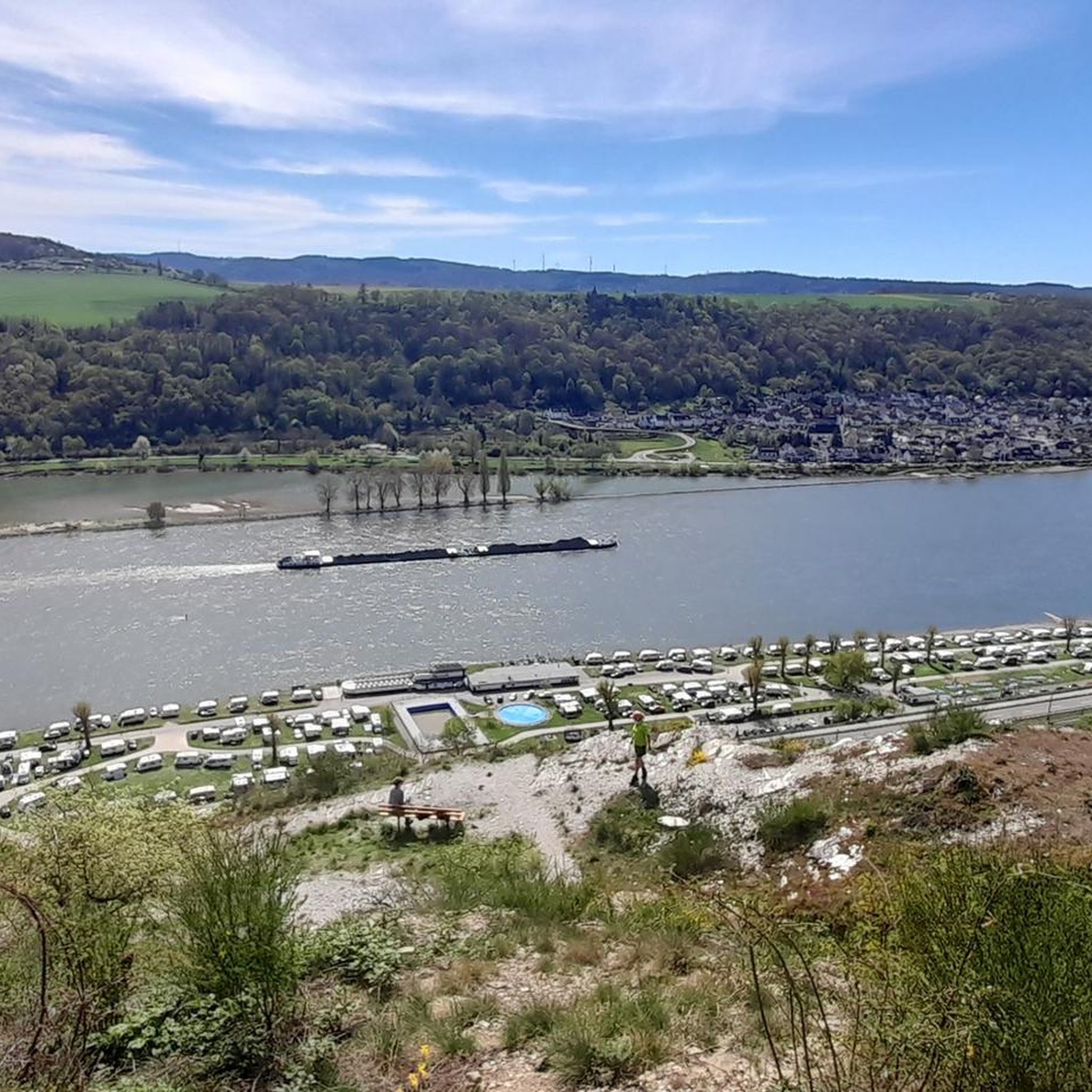
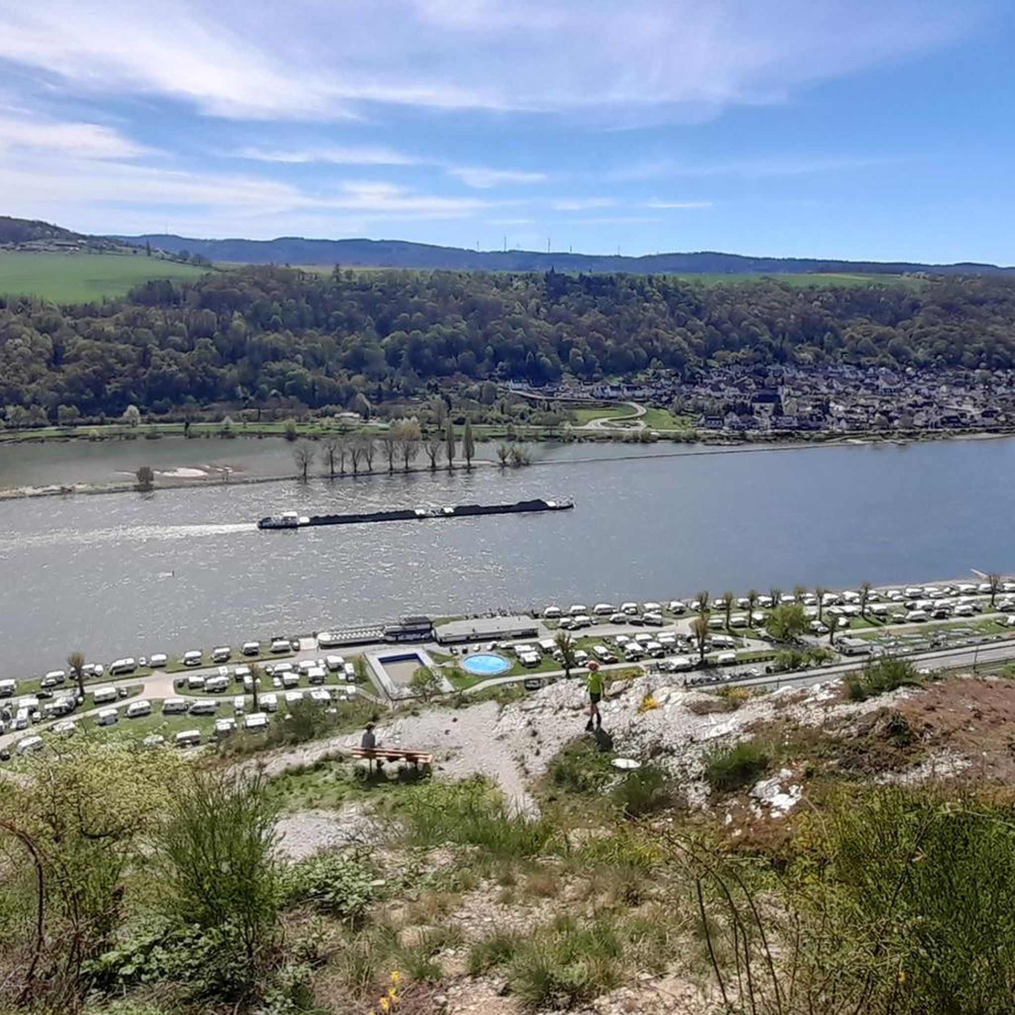
Perhaps the most beautiful viewpoint on the Rhine!
0
0

Those who are sure-footed and fit do not need equipment. This way you can climb at least 3x faster. For children, unsure or inexperienced people, please be sure to use climbing equipment.
0
0
Those who are sure-footed and fit do not need any equipment. This allows you to climb at least 3x faster. For children, unsure or inexperienced individuals, please be sure to use climbing equipment.
0
0

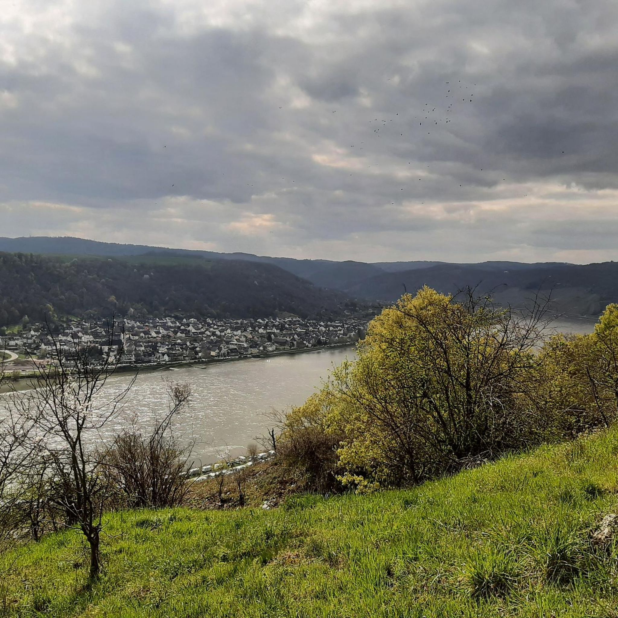
Wow, when you are at the Gedeonsblick for the first time and look at the Rhine loop, you are overwhelmed by this view. I was lucky enough to enjoy this view alone in the middle of the week in brilliant sunshine ☀️.
0
0

A bit of climbing, then a great bench with a VIEW
0
0

The Kronprinzenweg is beautiful, and the descent through the deciduous forest is also great. The path here is so narrow that you can only walk one behind the other. The ascent, however, really wore me out. Although there are always beautiful views, it was very strenuous, with many climbing sections (despite the hiking variant). I needed more than 2 hours and a lot of strength just for that. "For every fitness level" doesn't fit here. For me, it was nice that 2 restaurants were immediately available at the top. Tip for those unwilling to climb: Both the start and end points of the cable car are directly on the route.
0
0

The Ruppertsklamm is recommended to all nature enthusiasts. Sturdy, waterproof shoes are advantageous, as you sometimes have to step into the stream. Depending on the weather, it can carry quite a bit of water.
2
0
The term "wildromantisch" (wildly romantic) was probably coined here. Great nature trail.
1
0
Frequently Asked Questions
What is the general difficulty level of mountaineering routes around Spay?
The mountaineering routes around Spay offer a mix of challenges. While there is one easy route, the majority of the four routes listed are considered difficult, including sections with via ferrata and challenging gorge passages. This makes the area particularly appealing for experienced mountaineers seeking a thrill.
Are there any easy mountaineering routes suitable for beginners in Spay?
Yes, there is one easy mountaineering route available: Bench With a View of Boppard loop from Boppard. This route is a good option for those new to mountaineering or looking for a less strenuous experience while still enjoying the scenic views of the Middle Rhine Valley.
What are the typical lengths and durations of mountaineering trails near Spay?
The routes around Spay vary in length and duration. You'll find shorter, more intense options like the Oelsberg Via Ferrata loop from Boppard, which is about 1.8 miles (2.9 km) and takes around 1 hour. Longer routes, such as the Entrance to the Ruppertsklamm – Ruppertsklamm Shelter loop from Lahnstein, extend to 6.3 miles (10.2 km) and can take over 3 hours to complete, offering a more extended adventure.
Are there circular mountaineering routes available in Spay?
Yes, all the mountaineering routes highlighted in this guide are circular loops. This means you can start and end your adventure at the same point, making logistics simpler. Examples include the Rupperts Gorge – Lahnblick Viewpoint loop from Lahnstein and the Bench With a View of Boppard loop from Boppard.
What kind of terrain can I expect on mountaineering routes in the Spay region?
Mountaineering in Spay is characterized by the dramatic landscapes of the Middle Rhine Valley. Expect a mix of forested slopes, rocky sections, and exposed ridges. Routes often feature deep river gorges and elevated viewpoints, providing varied and engaging terrain for mountaineers.
What can I see along the mountaineering routes in Spay?
The routes offer stunning views and natural landmarks. You can discover several viewpoints, such as the Uhuley Viewpoint and the View of the Rhine Bend and Boppard from Sabelsköpfchen. The Dommelberg: View of the Rhine Valley and Shelter also provides a great spot to take in the scenery.
Are there any places to eat or drink near the mountaineering trails?
Yes, you can find options for refreshments. For instance, the Kühkopf Forest Inn is a highlight in the area, offering a place to relax and refuel after your mountaineering adventure.
What do other mountaineers enjoy most about the routes in Spay?
The mountaineering routes in Spay are highly rated by the komoot community, with an average score of 4.0 stars. Reviewers often praise the dramatic landscapes, the challenging nature of the trails, and the rewarding elevated viewpoints over the Rhine and Lahn rivers.
Is mountaineering in Spay suitable for families with children?
While many routes are rated as difficult and include challenging sections like via ferrata or steep gorges, there is one easy route, Bench With a View of Boppard loop from Boppard, which might be more suitable for families looking for a less demanding experience. For the more challenging routes, it's advisable to assess the children's experience and fitness levels carefully.
When is the best season for mountaineering in Spay?
The Middle Rhine Valley generally offers pleasant conditions for mountaineering from spring through autumn. Spring brings blooming flora, while autumn showcases vibrant fall colors. Summer can be warm, so early morning starts are recommended. Winter mountaineering is possible but requires appropriate gear and caution due to potentially icy or snowy conditions on exposed sections.
Are there any permits required for mountaineering in the Spay area?
Based on available information, there are no specific permits mentioned as being required for general mountaineering on the listed routes in the Spay area. However, it's always good practice to check for any local regulations or temporary restrictions before your trip.
How many mountaineering routes are covered in this guide for Spay?
This guide features four distinct mountaineering routes around Spay, offering a range of experiences from easy scenic walks to challenging via ferrata sections and gorge explorations.
Most popular attractions around Spay

Get inspired with the komoot mobile app


Explore more
Browse the best Mountain Hikes & Routes in other regions.
