The 6 Most Amazing Peaks around Mündersbach
Best mountain peaks around Mündersbach are characterized by rolling hills and extensive forests within the Westerwald region. The area's elevations, ranging from approximately 320 to 470 meters above sea level, contribute to a diverse landscape ideal for outdoor activities. While not featuring prominent, individually named mountain peaks in the traditional sense, the Mündersbach geographical context offers numerous elevated areas and viewpoints. These natural features provide varied hiking experiences with small stream valleys and ridges.
Best mountain peaks around Mündersbach
- The…
Last updated: June 26, 2026
Summit Cross and Tree of the Year Trail, Streithausen
Highlight • Summit
Translated by Google •
Tip by

Helleberg Observation Tower
Highlight • Viewpoint
Translated by Google •
Tip by

Sign up now to discover places like this
Get recommendations on the best single tracks, peaks, & plenty of other exciting outdoor places.
Sign up for free
Gietzebeul Summit
Highlight • Summit
Except for the sign, there's nothing up here but nature.
Translated by Google •
Tip by

Weißer Stein (Highest Point in Lochum)
Highlight • Summit
Translated by Google •
Tip by

View of Malberg
Highlight • Viewpoint
Translated by Google •
Tip by

Sign up for free to discover even more peaks around Mündersbach.
Sign up for free
Already have an account?
Start today with a free account
Your next adventure awaits.
Login or Signup
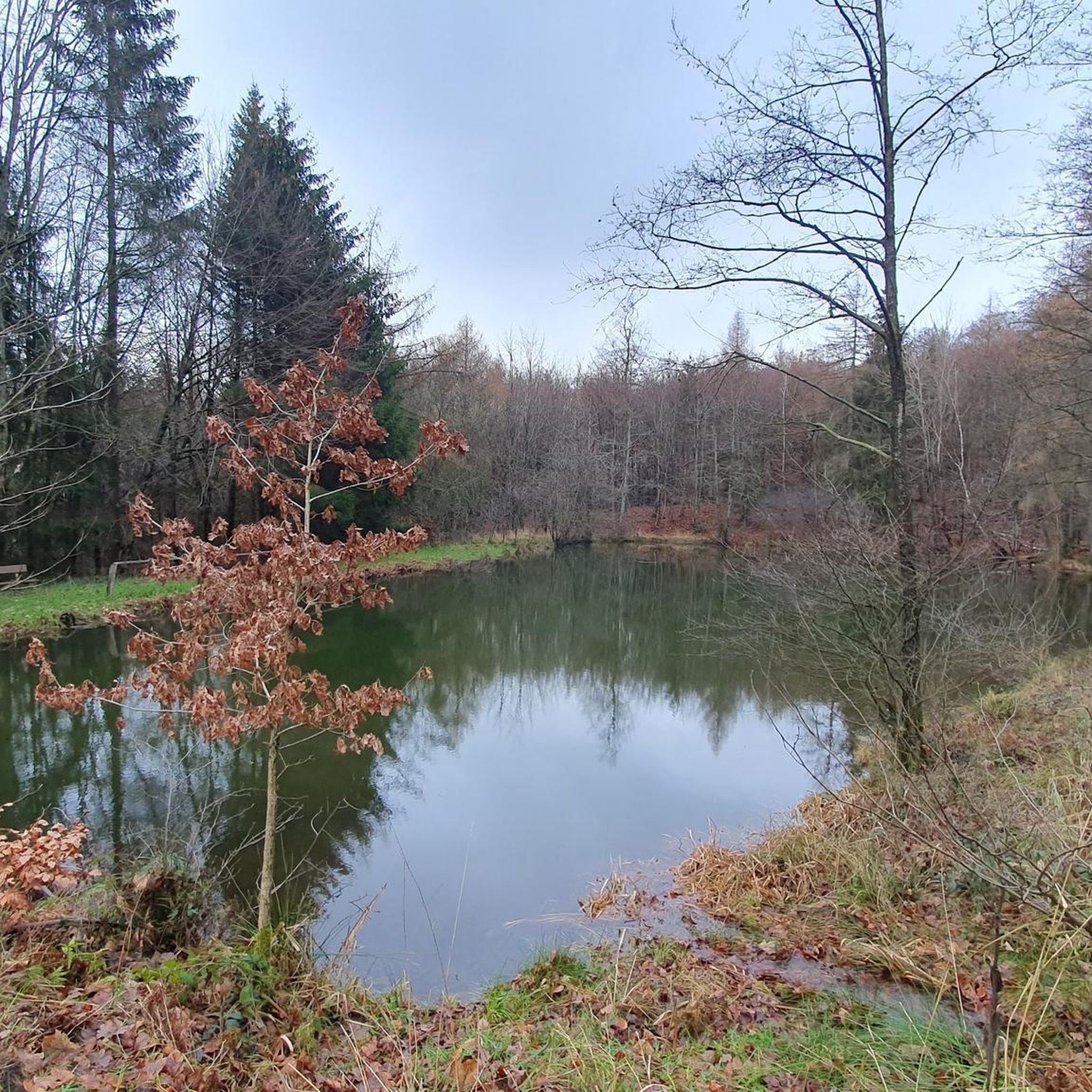
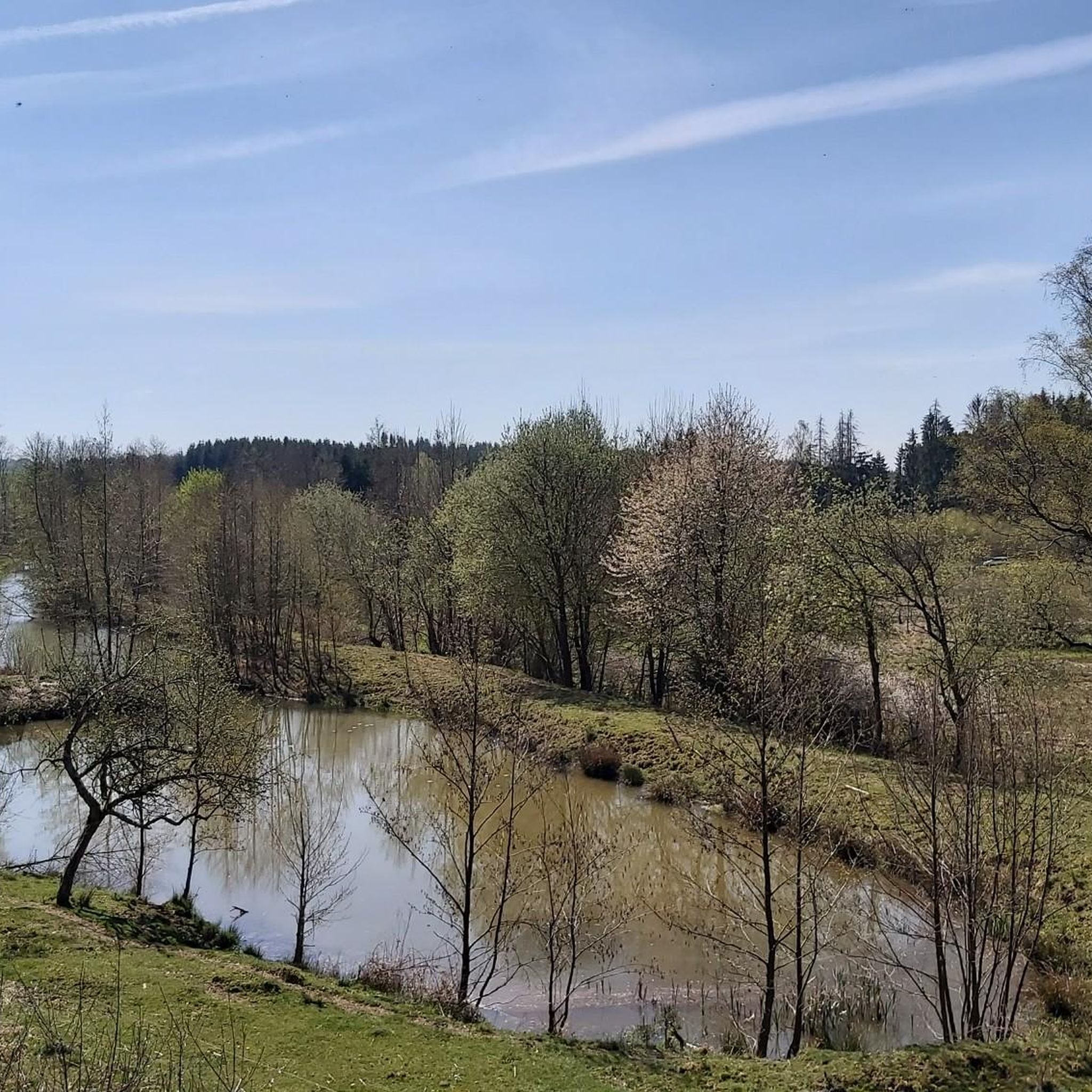
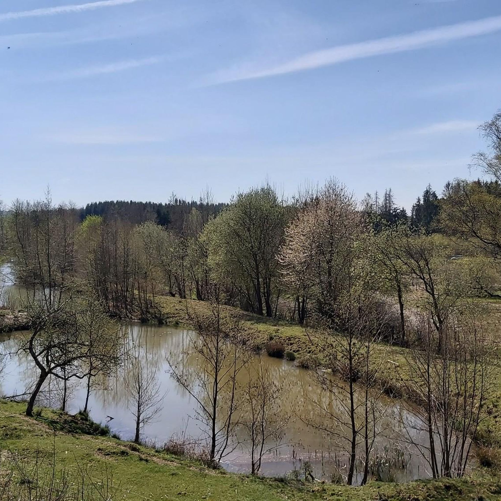
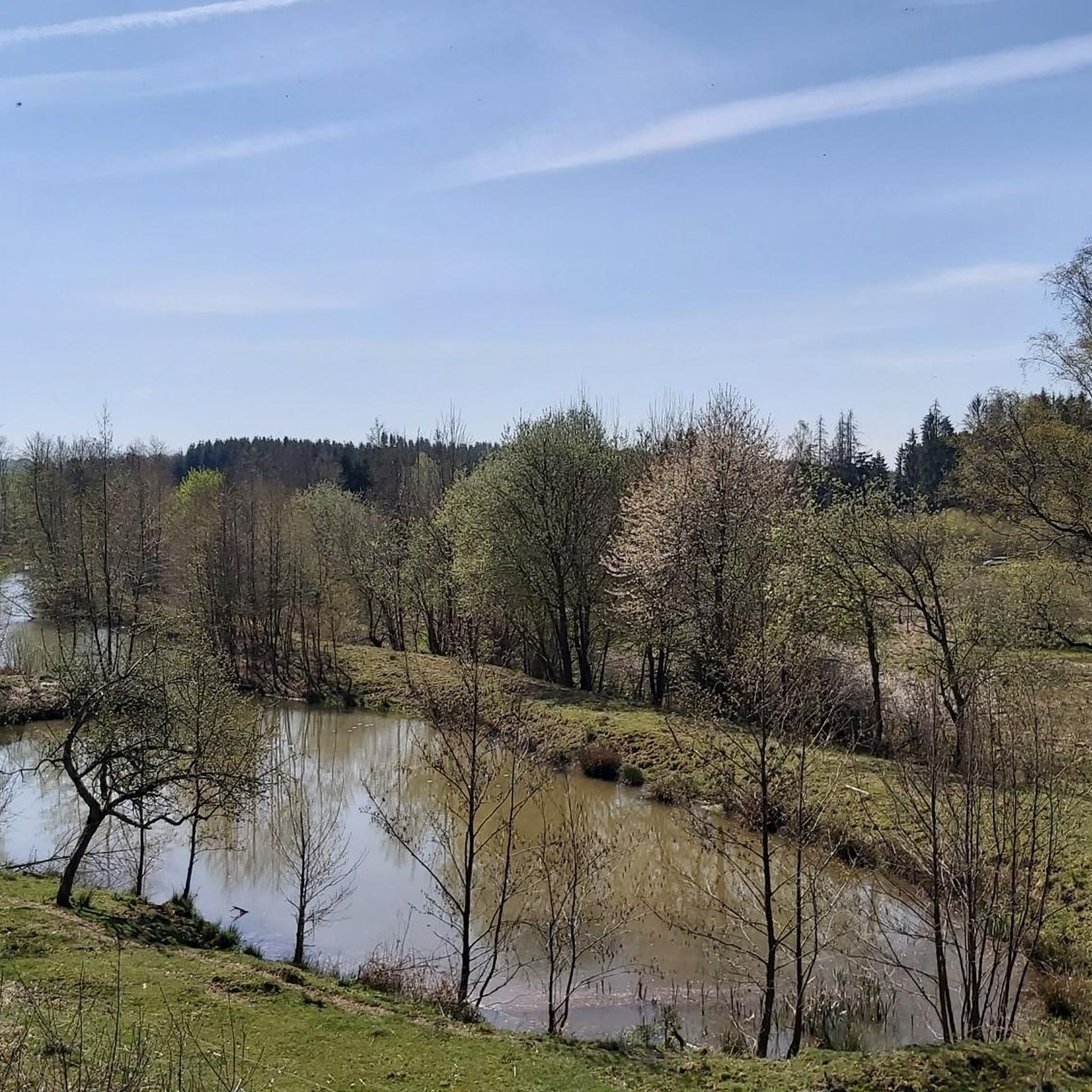
Tips from the Community


You have to climb or experience the Malberg, it's a great experience. It's very mystical and beautiful up there.
0
0


A sign on a gravel path.
1
0

Nice way to hike or ride on the MTB
1
0
The spruces are almost all gone, the deciduous trees are still standing. Except for the sign, there's nothing up here but nature.
3
1

Above Streithausen there is a cross, a "Tree of the Year Park" circular path and an "Eco TV" which offers a view of Streithausen.
2
0

The summit cross seen from afar.
2
0
Frequently Asked Questions
What kind of elevated areas can I expect to find around Mündersbach?
The Mündersbach region, part of the Westerwald, is characterized by rolling hills and extensive forests rather than prominent, individually named mountain peaks. Elevations typically range from approximately 320 to 470 meters above sea level. These elevated areas contribute to a diverse landscape with small stream valleys and ridges, offering varied hiking experiences and beautiful views.
Are there any notable viewpoints or summits in the Mündersbach area?
Yes, several spots offer great views or mark significant elevations. The Helleberg Observation Tower stands at 490 meters above sea level and provides panoramic views of the Westerwald Lake District. Another notable point is Weißer Stein (Highest Point in Lochum), which marks the highest elevation in the district of Lochum at 509.8 meters.
What is the highest point in the broader Westerwald region?
While Mündersbach itself features rolling hills, the highest elevation in the entire Westerwald region is the Fuchskaute. This extinct volcano reaches 657.3 meters and offers open upland areas, particularly striking when covered in snow. It's important to note that the Fuchskaute is not directly located within Mündersbach but is part of the broader Westerwald.
Are there family-friendly trails or activities around the Mündersbach peaks?
Yes, the region offers several family-friendly options. The Summit Cross and Tree of the Year Trail, Streithausen, is a unique spot where trees are planted for newborns, making it an engaging visit for families. Many of the trails through the extensive forests and along stream valleys are suitable for family outings, offering opportunities to experience nature up close.
What kind of hiking trails can I find near Mündersbach's elevated areas?
The Mündersbach area provides a variety of hiking experiences, from easy loops to more moderate trails. You can find routes like the 'Alte Mühle Ponds – Firefighting pond in the forest near Roßbach loop' or the 'Sieben Buchen Natural Monument loop'. For more options, explore the Hiking around Mündersbach guide.
What do visitors particularly enjoy about the elevated areas near Mündersbach?
Visitors appreciate the diverse landscape, the extensive forests, and the peaceful atmosphere. Many enjoy the panoramic views from spots like the Helleberg Observation Tower. The unique concept of the Summit Cross and Tree of the Year Trail, Streithausen, is also a popular highlight, offering both scenic beauty and a touching local tradition.
What other outdoor activities are available near the Mündersbach peaks besides hiking?
Beyond hiking, the Mündersbach region is excellent for cycling. You can find numerous routes for road cycling, such as the 'Schloss Hachenburg – Dreifelder Weiher loop', or explore MTB trails like the 'Dreifelder Pond loop'. For detailed routes, check out the Road Cycling Routes around Mündersbach and MTB Trails around Mündersbach guides.
Is the Gietzebeul Summit worth visiting?
The Gietzebeul Summit is an elevation between Steinebach and Gehlert, formed by ancient sea deposits. While it offers a trail through the forest, recent environmental changes due to drought and bark beetles have impacted the tree population. It's primarily a natural spot for quiet contemplation rather than expansive views.
What is the best time of year to visit Mündersbach for hiking in the hills?
The Mündersbach region is beautiful year-round. Spring brings lush greenery and blooming flora, while autumn offers vibrant fall colors across the extensive forests. Summer is ideal for longer hikes, and even winter can be picturesque, especially if the higher elevations of the Westerwald, like the Fuchskaute, are covered in snow. The diverse landscape ensures a pleasant experience in any season.
Are there any specific natural features to look out for in the Mündersbach region?
The region is rich in natural features, including extensive forests, numerous hedges, and water-rich vegetation. You'll encounter small stream valleys, diverse flora and fauna, and basalt deposits characteristic of the Westerwald. These elements combine to create a high quality of life and opportunities for nature-oriented relaxation.
Can I find circular hiking routes around the Mündersbach peaks?
Yes, many of the hiking trails around Mündersbach are designed as circular routes, allowing you to start and end at the same point. Examples include the 'Krumme Schneise loop from Freirachdorf' and the 'Sieben Buchen Natural Monument loop from Mündersbach'. These routes offer convenient ways to explore the hilly terrain and forests.
What is the Püsterberg like?
The Püsterberg is an elevated area above the castle. It's described as an unremarkable hill that does not offer a panoramic view. It hosts a water tower and a radio relay station, making it more of a functional point than a scenic overlook.
Most popular routes around Mündersbach
Most popular attractions around Mündersbach

Get inspired with the komoot mobile app


Explore more
See even more amazing summits around Mündersbach with these guides:
