The best road cycling routes around Mündersbach
4.7
(138)
1,392
riders
175
rides
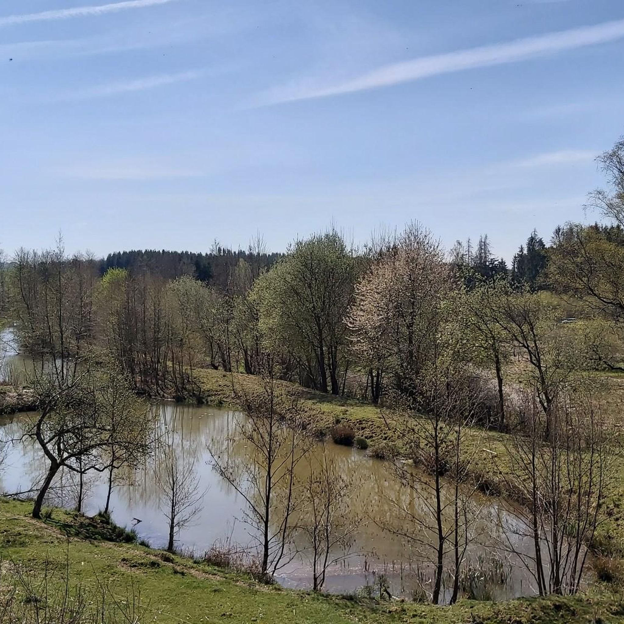
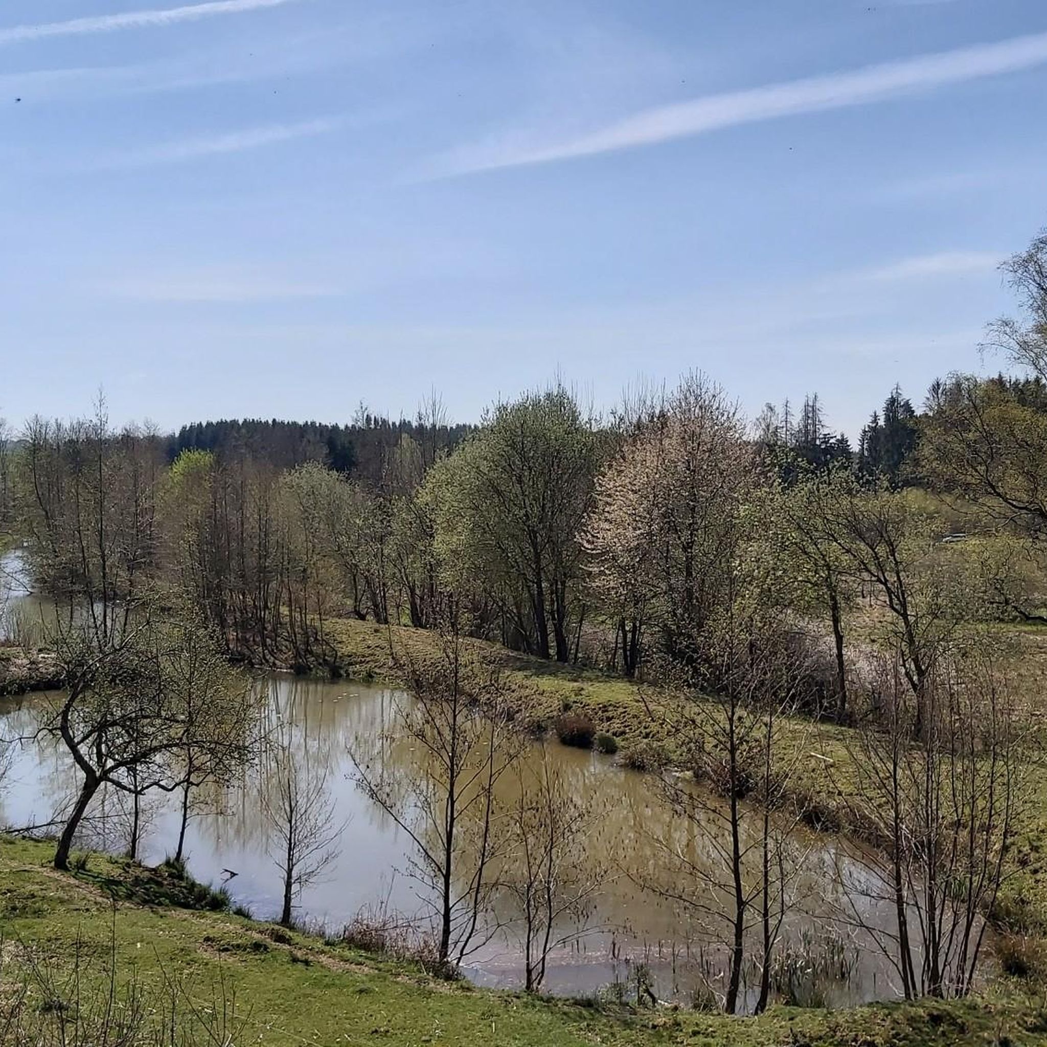
Road cycling routes around Mündersbach traverse a landscape characterized by rolling hills and dense forests within the Westerwald region. The area features varied topography, with elevations ranging between 320 and 470 meters above sea level, providing diverse terrain for cyclists. The Wied river also flows through the region, offering routes along its banks. This environment supports a network of road cycling routes suitable for various fitness levels.
Best road cycling routes around Mündersbach
- The most popular road cycling route is…
Last updated: October 21, 2026
5.0
(2)
25
riders
73.3km
03:28
950m
950m
Hard road ride. Very good fitness required. Mostly well-paved surfaces and easy to ride.
5.0
(2)
22
riders
37.6km
01:50
340m
340m
Moderate road ride. Good fitness required. Mostly well-paved surfaces and easy to ride.

4.5
(6)
15
riders
Moderate road ride. Good fitness required. Mostly well-paved surfaces and easy to ride.
9
riders
Easy road ride. Great for any fitness level. Mostly well-paved surfaces and easy to ride.
10
riders
42.6km
01:58
450m
450m
Moderate road ride. Good fitness required. Mostly well-paved surfaces and easy to ride.
Get access to more routes and recommendations from other explorers.
Already have an account?
Our route recommendations are based on thousands of hikes, rides, and runs completed by other people on komoot.
Start today with a free account
Your next adventure awaits.
Tips from the Community

Top
0
0
Very nice
0
0
Beautiful to look at
0
0

Beautiful half-timbered mill! Paved path from visit to Rossbach
0
0

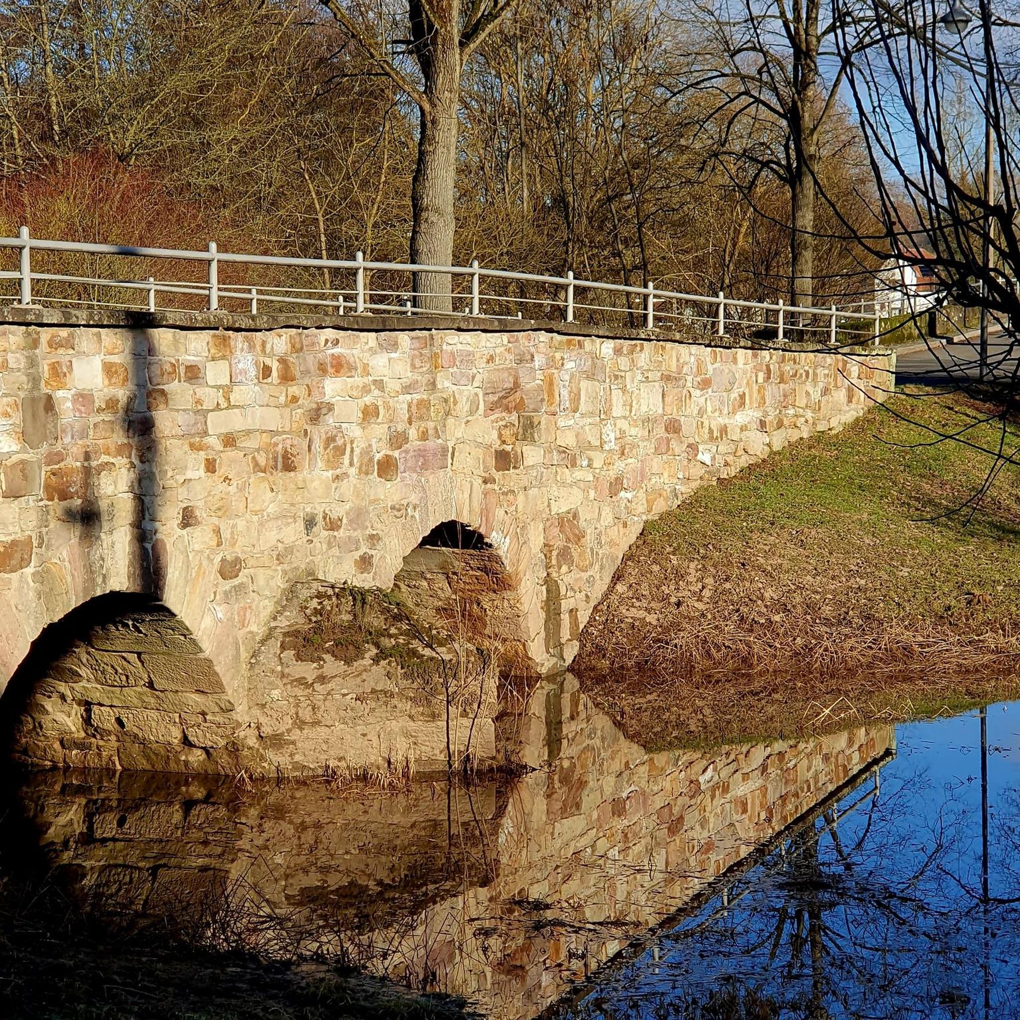
A great cycle path along the Wied river leads past the monastery.
0
0

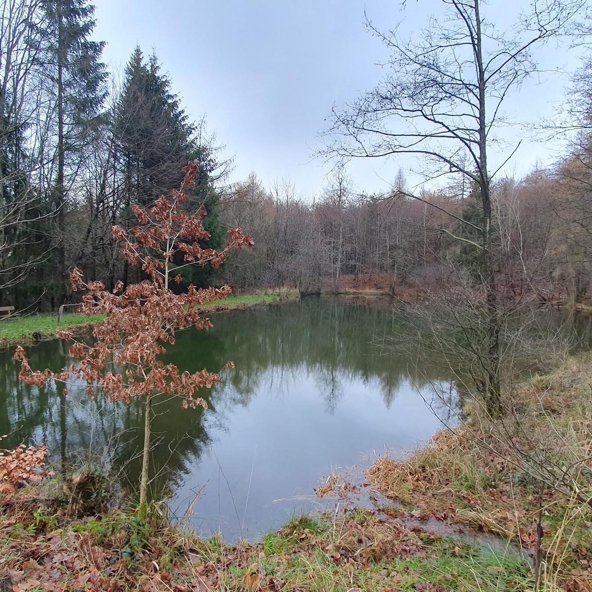
House on the lake at Dreifelder Weiher
1
0


Beautiful Dreifelder Weiher, beautifully situated, idyllic and quiet.
0
0
Frequently Asked Questions
How many road cycling routes are available around Mündersbach?
There are over 180 road cycling routes around Mündersbach, catering to various fitness levels and preferences. The komoot community has highly rated these routes, with an average score of 4.8 stars.
Are there easy road cycling routes suitable for beginners in Mündersbach?
Yes, Mündersbach offers 15 easy road cycling routes. One popular option is the Half-timbered house in Selters – Deesen Town Center loop from Maroth, an 18.8-mile (30.3 km) trail that takes you through rural villages and woodlands.
What kind of terrain can I expect on road cycling routes in Mündersbach?
The region around Mündersbach is characterized by rolling hills and dense forests within the Westerwald. You'll encounter varied topography, with elevations ranging between 320 and 470 meters above sea level, providing a mix of climbs and descents. The Wied river also flows through the area, offering flatter routes along its banks.
Are there challenging road cycling routes for experienced cyclists?
Absolutely. Mündersbach features 40 difficult road cycling routes for those seeking a challenge. A notable option is the Wiedbahn Tunnel and Bridge – Burg Ehrenstein Ruins loop from Maroth, a 45.6-mile (73.3 km) route with significant elevation gain through the varied Westerwald landscape.
What scenic viewpoints can I discover while road cycling in Mündersbach?
The Mündersbach area, being part of the Westerwald, offers numerous scenic spots. You can find beautiful views from highlights like the Helleberg Observation Tower or enjoy the View of Malberg. Many routes also traverse picturesque river valleys and wooded hillsides, providing constant natural beauty.
Are there any road cycling routes that pass by lakes or nature reserves?
Yes, the nearby Westerwald Lake District is a highlight. The Dreifelder Pond – Dreifelder Weiher loop from Herschbach is a moderate 24.9-mile (40.0 km) route that circles the largest lake in the area, offering scenic views of unspoiled nature. The region also includes nature reserves like the Wiesensee and Oberes Wiedtal.
What historical or cultural sights can I visit along the road cycling routes?
The region is rich in history. While cycling, you might encounter historic sites such as the 18th-century parish church of St. Mary in Mündersbach. Further afield, the Marienstatt Monastery with its inspiring garden and historic stone bridge is a notable stop. You can also find highlights like the Summit Cross and Tree of the Year Trail, Streithausen.
Are there road cycling routes that form a loop or circuit?
Many of the road cycling routes around Mündersbach are designed as loops, allowing you to start and end at the same point. Examples include the Dreifelder Pond – Dreifelder Weiher loop from Herschbach and the Westerwaldbahn Viaduct, Selters – Eulenturm (Lower Tower) Dierdorf loop from Herschbach.
What do other road cyclists enjoy most about cycling in Mündersbach?
The area is highly rated by the komoot community, with an average score of 4.8 stars from over 90 reviews. Cyclists often praise the diverse terrain, from rolling hills to river valleys, and the well-maintained routes that allow for varied experiences, whether seeking a leisurely ride or a challenging ascent.
Are there any specific attractions or landmarks near the routes that are worth exploring?
Beyond the cycling itself, you can explore several attractions. The Gietzebeul Summit offers a natural landmark, and the Weißer Stein (Highest Point in Lochum) is another notable peak. The region also features historic castles like Friedewald Castle and Greifenstein Castle, which provide fantastic views.
What is the best time of year for road cycling in Mündersbach?
The Westerwald region, including Mündersbach, is generally pleasant for road cycling from spring through autumn. The mild temperatures and vibrant landscapes make these seasons ideal. During these months, you'll find the routes in good condition and the natural scenery at its best.
Are there options for moderate-difficulty road cycling routes?
Yes, the majority of routes in Mündersbach are of moderate difficulty, with 126 such options available. These routes offer a good balance of challenge and accessibility, perfect for regular cyclists. An example is the Raubach Station – Eulenturm (Lower Tower) Dierdorf loop from Roßbach, a 45.4-mile (73.1 km) route.
Most popular routes around Mündersbach
Most popular attractions around Mündersbach

Get inspired with the komoot mobile app


Explore more
Browse the best Road cycling routes in other regions.
