The best walks and hikes around Kraftisried
4.5
(4807)
22,760
hikers
623
hikes
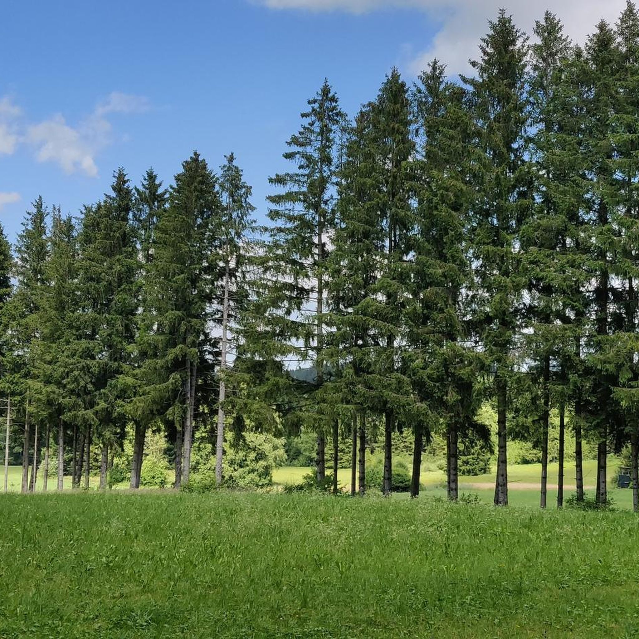
Hiking around Kraftisried offers diverse landscapes within the Ostallgäu district of Bavaria. The region features rolling hills, dense forests like the Kempter Forest, and is situated in the foothills of the Allgäu Alps. This varied terrain provides numerous trails, ranging from gentle paths through meadows to routes with moderate elevation changes. Wetlands and picturesque lakes also contribute to the natural diversity of the area.
Best hiking trails around Kraftisried
- The most popular hiking route is Notzenweiher – Schwedenkapelle Unterhalden loop…
Last updated: June 25, 2026
4.8
(29)
175
hikers
Easy hike. Great for any fitness level. Easily-accessible paths. Suitable for all skill levels.
4.6
(7)
50
hikers
Easy hike. Great for any fitness level. Easily-accessible paths. Suitable for all skill levels.

Sign up for free
4.8
(15)
44
hikers
Easy hike. Great for any fitness level. Easily-accessible paths. Suitable for all skill levels.
4.5
(14)
37
hikers
12.2km
03:14
110m
110m
Moderate hike. Good fitness required. Easily-accessible paths. Suitable for all skill levels.
5.0
(4)
11
hikers
Hard hike. Very good fitness required. Easily-accessible paths. Suitable for all skill levels.
Get access to more routes and recommendations from other explorers.
Sign up for free
Already have an account?
Our route recommendations are based on thousands of hikes, rides, and runs completed by other people on komoot.
Start today with a free account
Your next adventure awaits.
Login or Signup
Tips from the Community

Dreamlike view
0
0

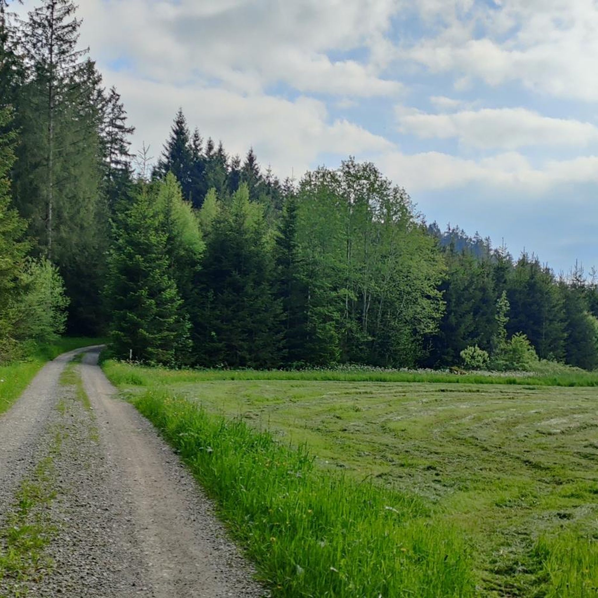
I'm always looking for chapels or churches, but I missed this one; the cattle must have fled. I think the short route is nice, even though it's on tarmac. The forest loop around the Notzenweiher pond is great.
0
0
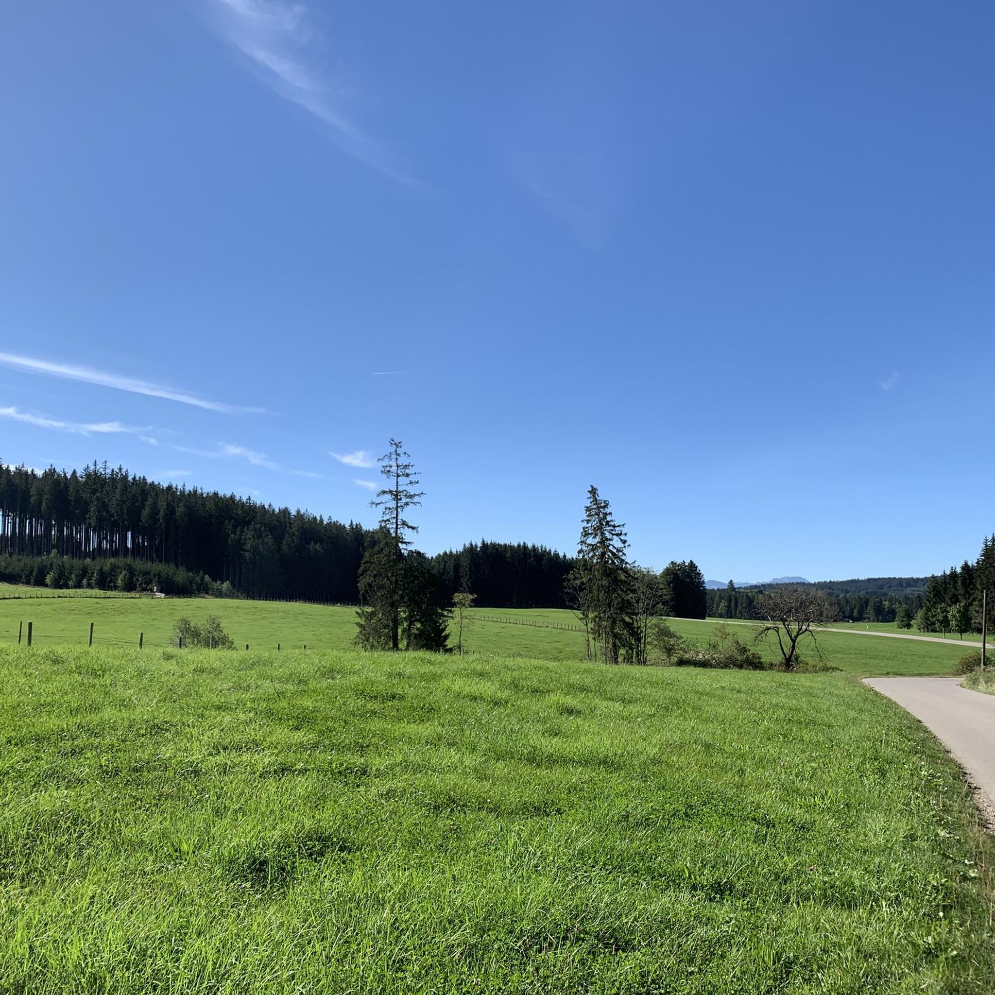
I've been here four times this year, coming from different directions. I enjoy this corner of the Allgäu because it's pleasantly quiet and still has beautiful viewpoints. However, the weather gods have to cooperate, which is difficult in the Allgäu. From this spot with the bench, you can see the Eastern Allgäu mountains, from the Nesselwang Edelsberg to the left, to the Füssen Tegelberg, the pointed Säuling, and the Zugspitze with the Austrian mountains in the distance. You can't see to the south or west because the surrounding mountains are higher.
0
0

Every year in the holiday home "Dornacher" in Hauptmannsgreuth... highly recommended 👍 From here just a few meters further the fabulous view of the Alps all the way to Lake Constance 👌
0
1
If the name Mittelallgäu refers to the inn, there is bad news. The inn is unfortunately closed.
0
0
There's just one downside: The Pension Mittelallgäu no longer offers food or drinks.
0
0
Today it was pleasantly quiet without a view of the mountains. The landlady is very friendly and if you don't see anyone you can just ring the bell. Our food was simple and delicious, the sausage salad has no pickled gherkins, which I personally love, and with real sourdough bread. We each got a second slice. There is also real filter coffee and the marble cake is not dry but moist and still fluffy. We got 3 pieces of marble cake for €2.50. I have forgotten what else they have.
1
0

Wide view of the western Allgäu
0
0
Frequently Asked Questions
How many hiking trails are available around Kraftisried?
There are over 600 hiking trails around Kraftisried, offering a wide range of options for all skill levels. This includes more than 370 easy routes, 230 moderate trails, and a few challenging options for experienced hikers.
What kind of terrain can I expect on hikes in Kraftisried?
The terrain around Kraftisried is diverse, characterized by rolling hills, dense forests like the expansive Kempter Forest, and the picturesque foothills of the Allgäu Alps. You'll find paths through green meadows, gentle ascents, and some routes with moderate elevation changes, such as the ascent of the Haarberg (900m above sea level).
Are there family-friendly hiking options in Kraftisried?
Yes, Kraftisried offers many family-friendly hiking options. Many trails are designed for leisurely strolls through meadows and gentle hills. An excellent example is the Notzenweiher – Schwedenkapelle Unterhalden loop from Parkplatz Notzenweiher, an easy 3.5-mile (5.7 km) trail that takes about 1 hour 30 minutes to complete, offering tranquil scenery.
Can I bring my dog on the hiking trails in Kraftisried?
Generally, dogs are welcome on most hiking trails in Kraftisried. It's always advisable to keep your dog on a leash, especially in nature reserves or near livestock, and to carry water for them. The diverse landscapes, from forests to open meadows, provide plenty of enjoyable experiences for you and your canine companion.
Are there any circular hiking routes in the area?
Yes, many of the trails around Kraftisried are circular, allowing you to start and end at the same point. For instance, the Hiking loop from Hauptmannsgreut is a popular 3.1-mile (5.1 km) circular trail through meadows and woodlands, taking about 1 hour 23 minutes.
What are some notable landmarks or viewpoints I can discover while hiking?
While hiking, you can discover several interesting landmarks and viewpoints. The Forest chapel in the Kempter Forest offers a peaceful spot for contemplation. For panoramic views, consider routes that lead to the Knollerhag Viewpoint or the Haarberg, which provides magnificent vistas across the Allgäu landscape. You might also encounter charming mountain huts like Bergmang Alp or Beilstein Alp.
Where can I find places to eat or rest during my hike?
The region around Kraftisried is dotted with charming mountain huts (Alps) that offer opportunities for hearty snacks, coffee, and rest. Notable options include Bergmang Alp, known for its stunning views, and Beilstein Alp, which also offers local cheese. These huts provide excellent spots to refuel and enjoy the scenery.
What is the best time of year to go hiking in Kraftisried?
The best seasons for hiking in Kraftisried are typically from spring to autumn. During these months, the weather is mild, and nature is in full bloom, ensuring optimal trail conditions and vibrant scenery. Spring brings lush greenery, while autumn offers beautiful fall colors.
Are there options for winter hiking in Kraftisried?
While the region is primarily known for spring to autumn hiking, some trails may be suitable for winter hiking, especially those at lower elevations or well-maintained paths. However, conditions can vary greatly with snow and ice, so it's essential to check local weather and trail reports and be equipped with appropriate gear for winter conditions.
How long do hikes typically take around Kraftisried?
Hikes around Kraftisried vary in length and duration. Many easy trails can be completed in 1 to 2 hours, such as the Knollerhag Viewpoint – Forest chapel in the Kempter Forest loop from Hauptmannsgreut, which is 4.3 miles (7.0 km) and takes about 1 hour 54 minutes. Longer, more challenging routes can extend to several hours, offering full-day adventures.
Is public transport available to reach hiking trailheads in Kraftisried?
Information on specific public transport routes directly to all trailheads in Kraftisried can be limited. It is generally recommended to check local bus schedules or regional transport options for connections to Kraftisried itself. For reaching specific trailheads, a car often provides the most flexibility.
Where can I park my car when hiking in Kraftisried?
Many popular trailheads around Kraftisried, such as the starting point for the Notzenweiher – Schwedenkapelle Unterhalden loop from Parkplatz Notzenweiher, offer designated parking areas. It's advisable to look for specific parking information associated with the route you plan to hike, as options can vary.
What do other hikers enjoy most about the trails in Kraftisried?
The hiking trails in Kraftisried are highly rated by the komoot community, with an average score of 4.5 stars from over 4000 reviews. Hikers often praise the tranquil scenery, the well-marked paths through diverse landscapes, and the opportunities to discover peaceful spots like the forest chapel or enjoy panoramic views from various viewpoints.
Are there any more challenging hikes for experienced hikers?
Yes, while many routes are easy to moderate, Kraftisried also offers a few more challenging hikes. For instance, the Waldkapelle Kempten – Knollerhag Viewpoint loop from Burg Wolkenberg is a difficult 13.4-mile (21.5 km) route with significant elevation gain, providing a more strenuous experience for seasoned hikers.
Most popular routes around Kraftisried
Most popular attractions around Kraftisried

Get inspired with the komoot mobile app


Explore more
Browse the best Hikes in other regions.
