The 15 Most Amazing Peaks in Lower Lusatia
Best mountain peaks in Lower Lusatia are found within a predominantly lowland region characterized by extensive pine forests, heathlands, and areas transformed by former lignite mining into the Lusatian Lake District. While traditional mountains are not present, the landscape features morainic ridges, such as the Lausitzer Grenzwall, which is the main end moraine of the Saale Ice Age. Elevated spots in Lower Lusatia are appreciated for panoramic views over the unique landscape or for their historical significance. These locations offer…
Last updated: August 19, 2026
St. Nicholas Upper Church (Oberkirche St. Nikolai), Cottbus
Highlight • Religious Site
Translated by Google •
Tip by

German War Cemetery on Georgenberg
Highlight • Historical Site
Translated by Google •
Tip by

Sign up now to discover places like this
Get recommendations on the best single tracks, peaks, & plenty of other exciting outdoor places.
Sign up for free
Hutberg (162 m) – Highest Point in Oder-Spree
Highlight • Summit
Translated by Google •
Tip by

Kuhringsberg Viewpoint
Highlight • Viewpoint
Translated by Google •
Tip by

Summit Stone of the Kaltenborn Hills
Highlight • Summit
Translated by Google •
Tip by

First-Order Triangulation Station Rückenberg (Góra Żarska)
Highlight • Monument
Translated by Google •
Tip by

Kahle Glatze Summit
Highlight • Summit
Translated by Google •
Tip by

Weinberg Hill in Dahme-Heideseen Nature Park
Highlight • Viewpoint
Translated by Google •
Tip by

Schwarzer Berg Summit Cross
Highlight • Summit
Translated by Google •
Tip by

Góra Żarska Observation Tower
Highlight • Viewpoint
Translated by Google •
Tip by

Sign up for free to discover even more peaks in Lower Lusatia.
Sign up for free
Already have an account?
Start today with a free account
Your next adventure awaits.
Login or Signup
Popular around Lower Lusatia
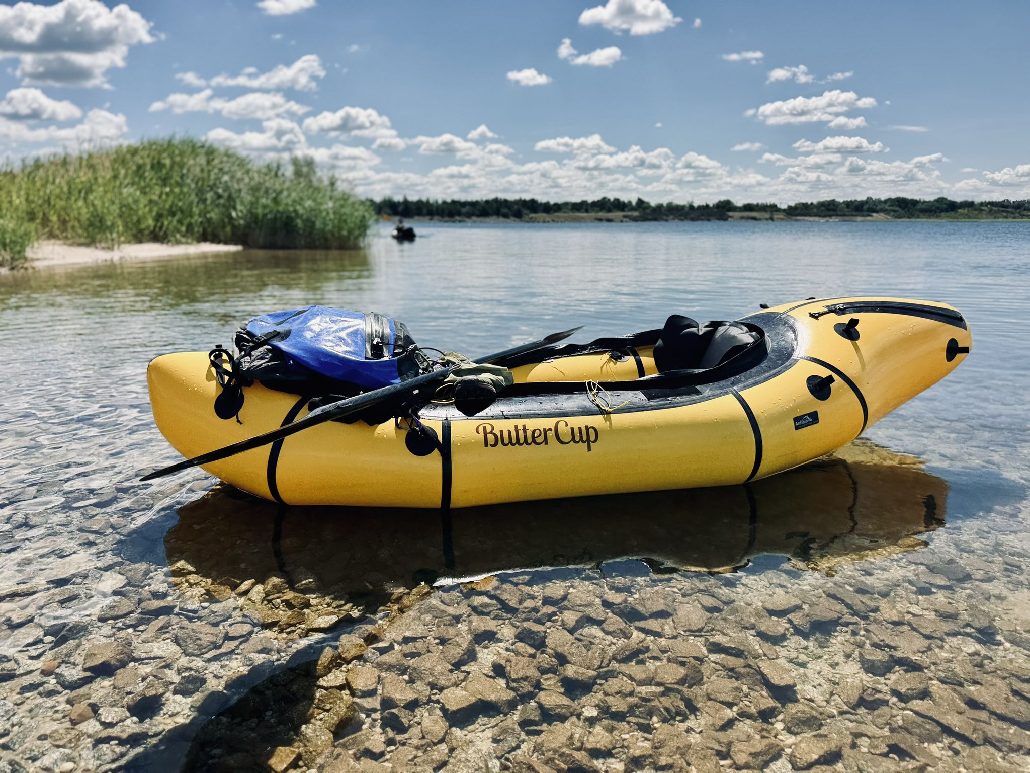
Paddling Paradise Lusatian Lake District – Five Lakes, One Network
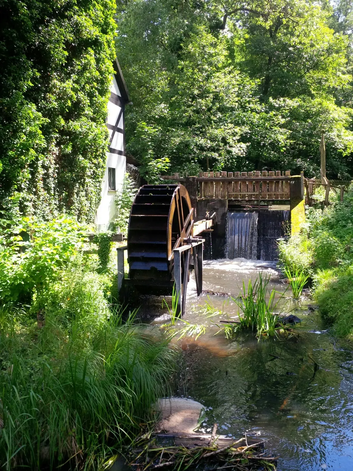
Mill Hiking Trail – The Schlaubetal hiking paradise
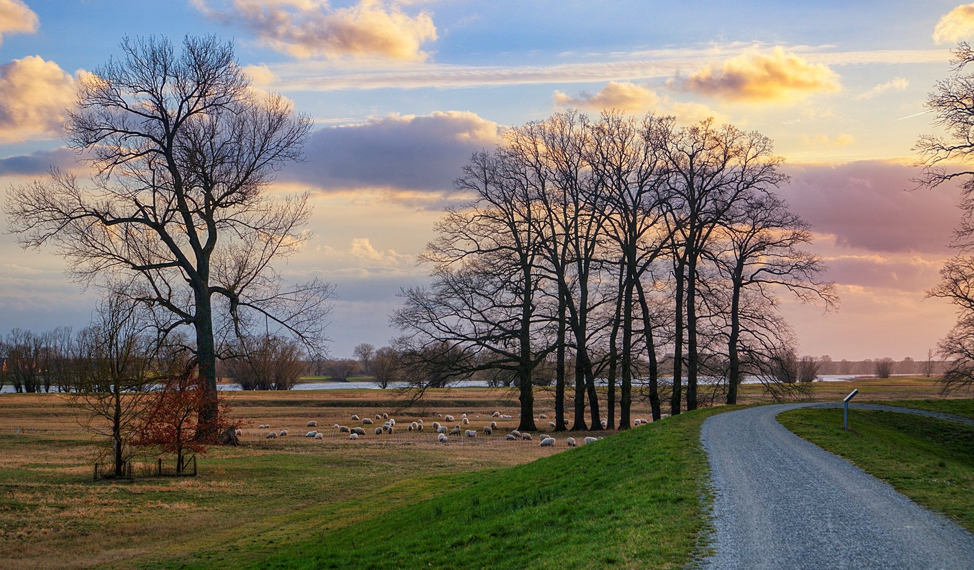
Tour Brandenburg – Cycle around Berlin in 18 stages
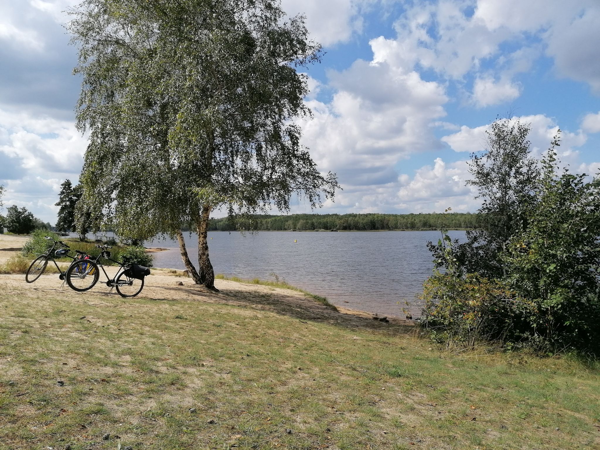
Cycling from Dresden to Berlin – lakes, nature and Sorbian culture
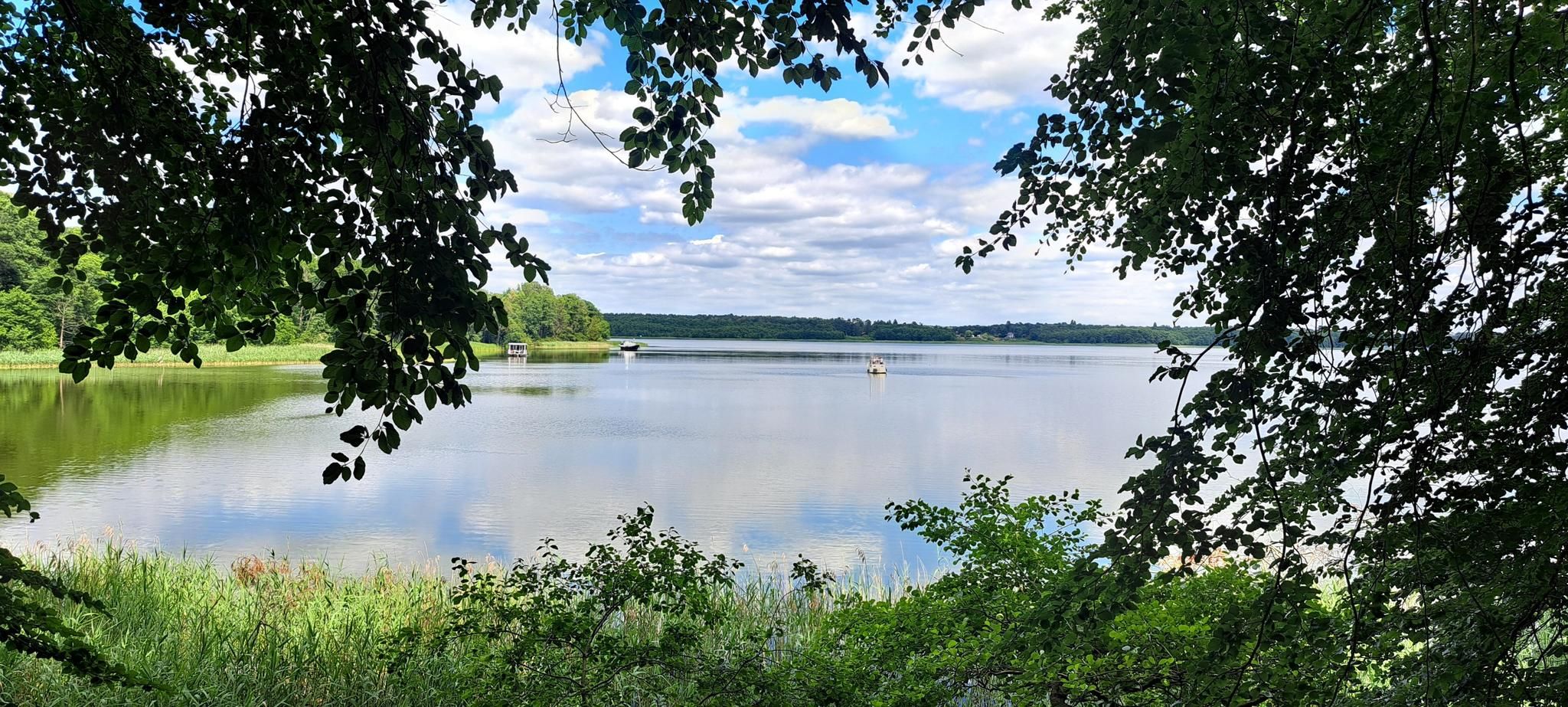
The National Natural Landscapes in Brandenburg
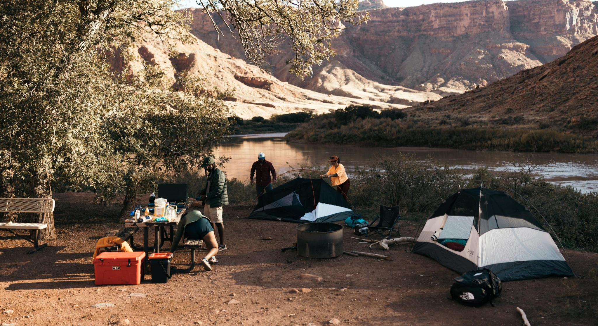
Glamping Adventures on Foot
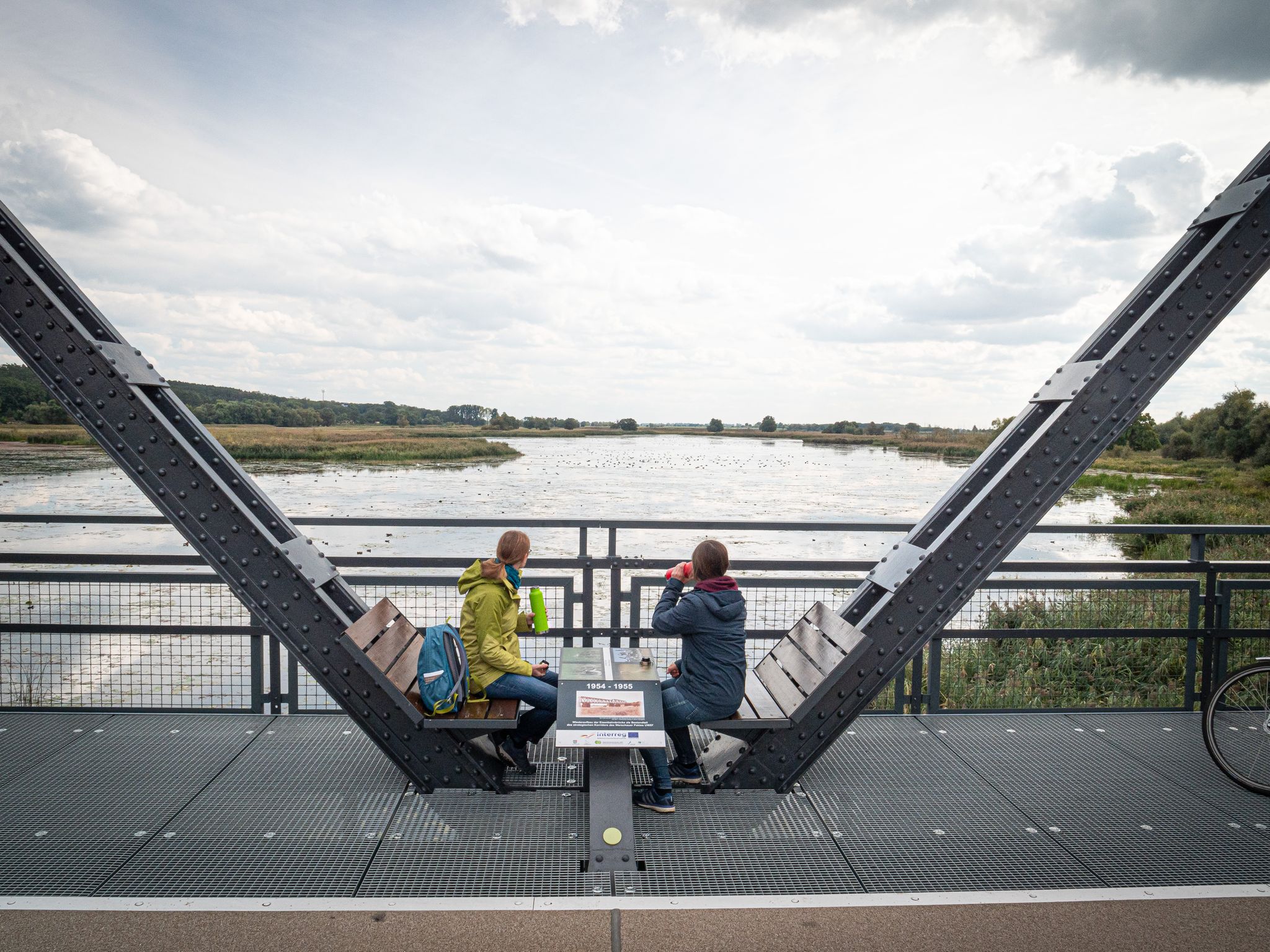
Travelling without boundaries – German-Polish cycling trips
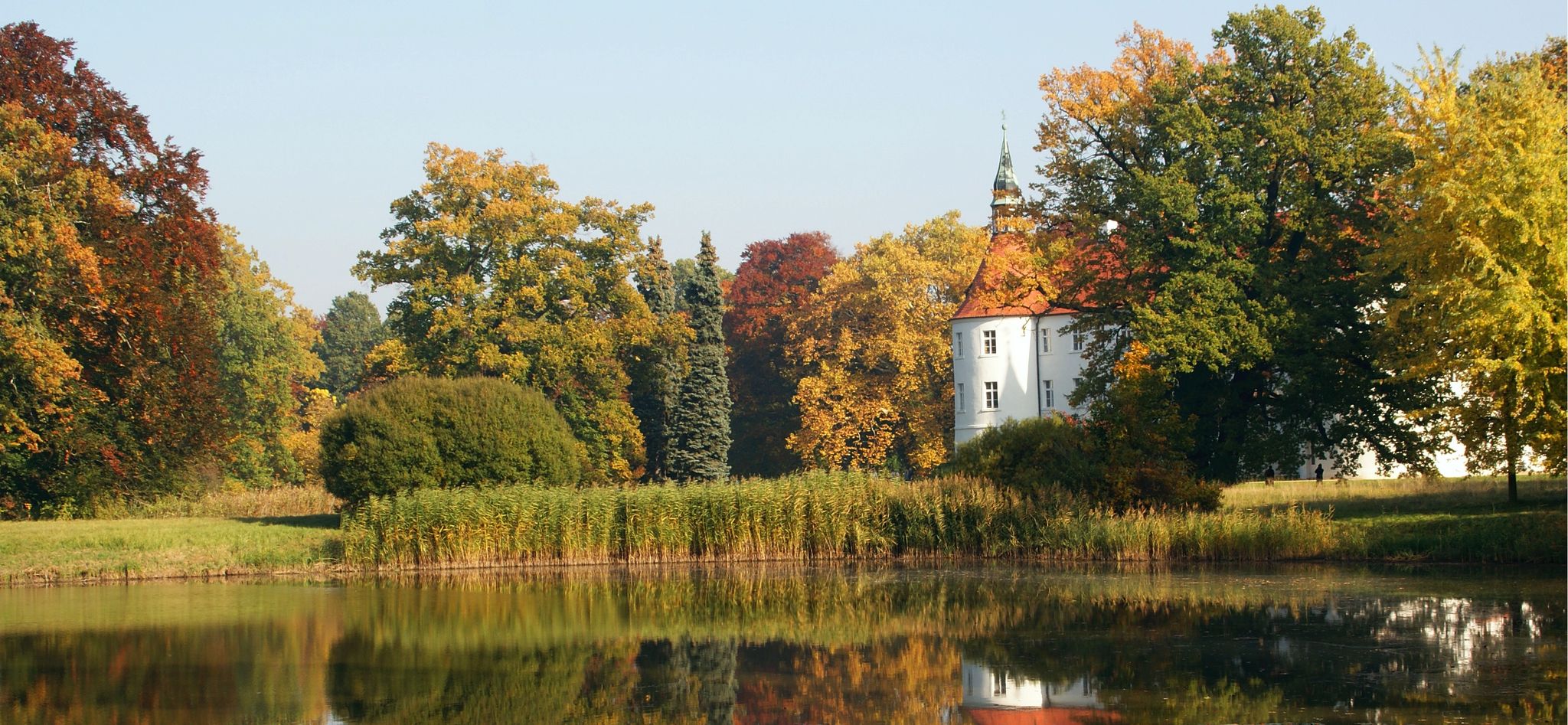
Furstlich Drehna: On the way in the heart of the Niederlausitzer Landrücken nature park

#GoFurther – discover the views of Germany!
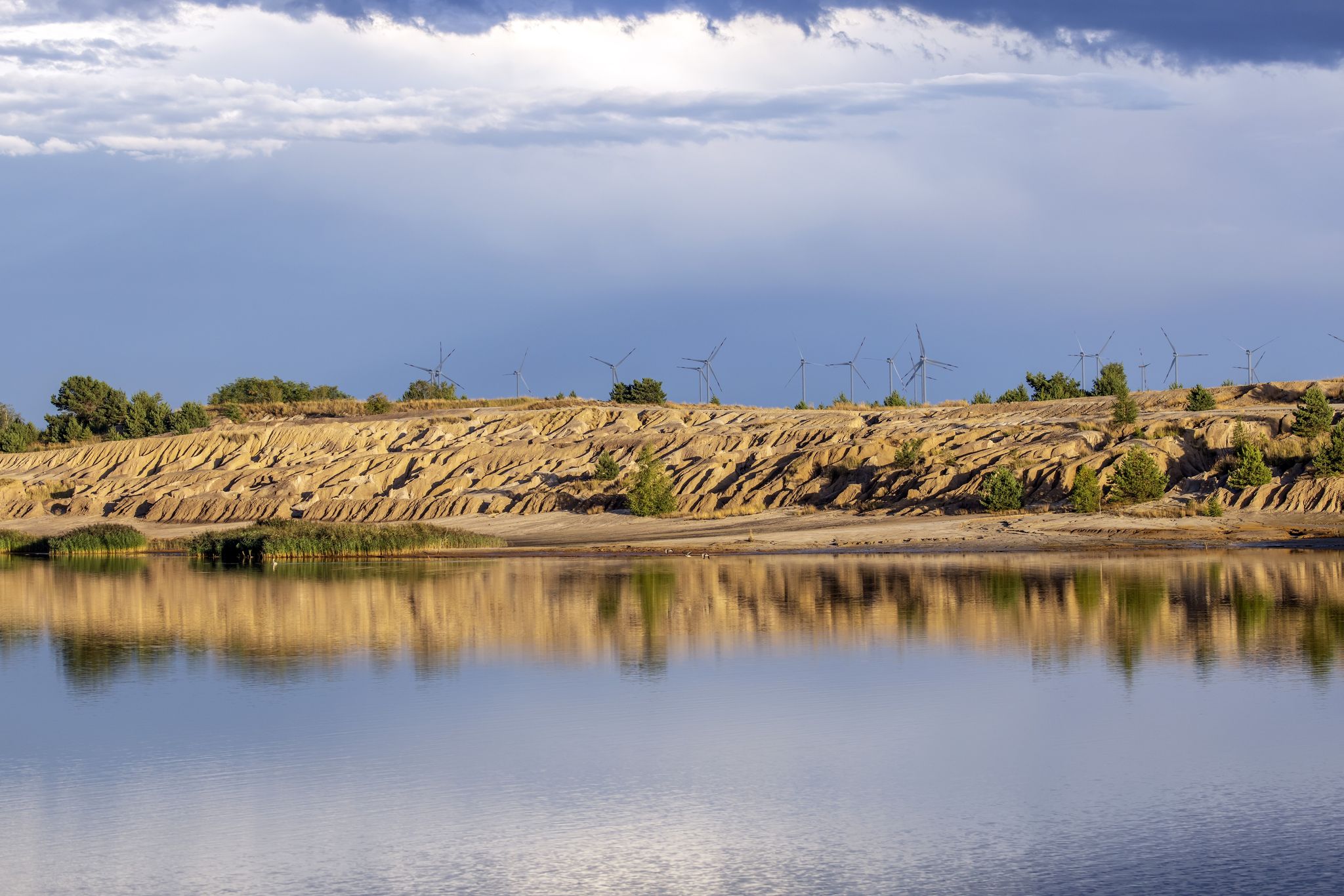
Landscape change, bird chirping and fieldstone churches - Paths around Wanninchen
Other adventures in Lower Lusatia


Tips from the Community

Very beautiful place with a surprising view and, depending on the season, plenty of blueberries or blooming heather.
0
0

The path to the lookout point is particularly beautiful. The view is limited by the tall trees, but in the open area it extends to the Calauer church tower and further. A very nice, quiet place to linger.
0
0

PLEASE PUSH YOUR BIKE HERE! German military cemetery with high cross, central burial site for war victims. Also the last remaining hereditary burial sites in the city on Georgenberg.
0
0

The Kuhringsberg viewing point is a quiet place that is perfect for a short rest. After maintenance work was carried out here a few years ago, the view has opened up again and in clear weather you can enjoy the view towards Calau. The view remains largely unobstructed, especially in the autumn and winter months. Surrounded by heathland that has regained space due to the removal of pine and birch trees, you can feel the close connection between landscape conservation and experiencing nature. Even if the fog limits the view, the place conveys a pleasant serenity that invites you to linger.
1
0

Imposing Gothic church building in the middle of the old town of Cottbus.
3
0

Thanks for the info.
1
1

Yes, there are also churches in Cottbus that look good.
3
0
Frequently Asked Questions
What kind of 'peaks' can I expect to find in Lower Lusatia?
Lower Lusatia is primarily a lowland region, so you won't find traditional high mountain peaks. Instead, the 'peaks' refer to elevated spots like morainic ridges, viewpoints, and historical sites that offer unique perspectives on the landscape. These locations are often appreciated for their panoramic views over forests, heathlands, and the Lusatian Lake District, or for their historical significance.
What are some of the most popular elevated spots in Lower Lusatia?
Among the most popular elevated spots are the St. Nicholas Upper Church (Oberkirche St. Nikolai), Cottbus, which offers views from its 55-meter tower. Another well-regarded location is the Schwarzer Berg Summit Cross, a 65-meter high moraine ridge with a summit cross and book. The Kuhringsberg Viewpoint is also a popular spot for rest and observation.
Are there any family-friendly elevated spots or viewpoints in Lower Lusatia?
Yes, several elevated spots in Lower Lusatia are suitable for families. The St. Nicholas Upper Church (Oberkirche St. Nikolai), Cottbus, the Hutberg (162 m) – Highest Point in Oder-Spree, and the German War Cemetery on Georgenberg are all categorized as family-friendly and offer interesting experiences for all ages.
What historical sites can be found on elevated points in Lower Lusatia?
Lower Lusatia features several elevated spots with historical significance. The St. Nicholas Upper Church (Oberkirche St. Nikolai), Cottbus is the largest medieval church in the region. The German War Cemetery on Georgenberg is another significant historical site. Additionally, the Hutberg (162 m) – Highest Point in Oder-Spree has historical ties as a former fire watchtower.
What is the highest point in Lower Lusatia?
While Lower Lusatia is a lowland region, the most significant natural elevation is the Lausitzer Grenzwall (Lusatian Border Wall), a morainic ridge with its highest point reaching 167 meters. Within the komoot highlights, the Hutberg (162 m) – Highest Point in Oder-Spree is a notable elevated spot, reaching 162 meters above sea level.
Are there any observation towers or structures offering panoramic views?
Yes, you can find observation structures that provide panoramic views. The Góra Żarska Observation Tower is one such example. Additionally, the 55-meter high tower of the St. Nicholas Upper Church (Oberkirche St. Nikolai), Cottbus offers worthwhile views of the city.
What outdoor activities can I do near these elevated spots in Lower Lusatia?
Lower Lusatia offers a variety of outdoor activities. You can explore numerous hiking trails, including those featured in the Waterfall hikes in Lower Lusatia guide. The region is also excellent for cycling, with many Road Cycling Routes and MTB Trails available, particularly around the Lusatian Lake District.
Can I find unique natural features or monuments on these 'peaks'?
Yes, some elevated spots feature unique natural elements or monuments. The Summit Stone of the Kaltenborn Hills is a small work of art on a hilltop. The Schwarzer Berg Summit Cross is located on a listed terminal moraine ridge. You can also find natural monuments like the Weinberg Hill in Dahme-Heideseen Nature Park.
What do visitors enjoy most about the elevated spots in Lower Lusatia?
Visitors particularly enjoy the diverse perspectives these elevated spots offer. They appreciate the panoramic views over the unique, often re-cultivated landscape, and the insights into the region's industrial history, such as the former lignite mining areas. The combination of natural beauty, historical significance, and opportunities for rest and observation makes these locations appealing.
Are there any specific viewpoints that offer a good impression of the region's industrial transformation?
While not a traditional peak, the View of Welzow-Süd Open-Cast Mine (Welzow City Viewpoint) offers a striking perspective on the immense scale of former lignite mining operations. This viewpoint provides a unique insight into the industrial history that shaped much of Lower Lusatia and led to the formation of the Lusatian Lake District.
What is the Lausitzer Grenzwall and where can I experience it?
The Lausitzer Grenzwall (Lusatian Border Wall) is the most significant morainic ridge in Lower Lusatia, formed during the Saale Ice Age. It acts as a watershed for rivers like the Spree and Neisse. While not a single accessible 'peak', its presence defines the region's subtle elevations, and you can experience its landscape by exploring areas like the Schwarzer Berg Summit Cross, which is located on a terminal moraine ridge.
Most popular routes in Lower Lusatia
Most popular attractions in Lower Lusatia

Get inspired with the komoot mobile app


Didn’t find what you were looking for?
Discover Lower Lusatia’s best peaks and summits by region:
Explore more
See even more amazing summits in Lower Lusatia with these guides:
