The 5 Most Amazing Peaks around Lindal And Marton
Best mountain peaks around Lindal And Marton are characterized by hills and elevated areas in South Cumbria, rather than towering peaks. These locations offer panoramic views, historical insights, and opportunities for hiking in the Lindal and Marton area. The region features limestone pavements, ancient tumuli, and evidence of historical iron ore mining. Visitors can explore a blend of natural landscapes and archaeological remains.
Best mountain peaks around Lindal And Marton
- The most popular mountain peaks is Birkrigg Trig Point,…
Last updated: June 30, 2026
Birkrigg Trig Point
Highlight • Viewpoint
Tip by

Burney Trig Point
Highlight • Natural Monument
Tip by

Sign up now to discover places like this
Get recommendations on the best single tracks, peaks, & plenty of other exciting outdoor places.
Sign up for free
View of Millom Park and the Sea
Highlight • Viewpoint
County of Cumberland Definitive List
Tip by

Lowscales Bank
Highlight • Natural
County of Cumberland Definitive List
Tip by
Lowscales Hill
Highlight • Summit
County of Cumberland Definitive List
Tip by
Start today with a free account
Your next adventure awaits.
Login or Signup
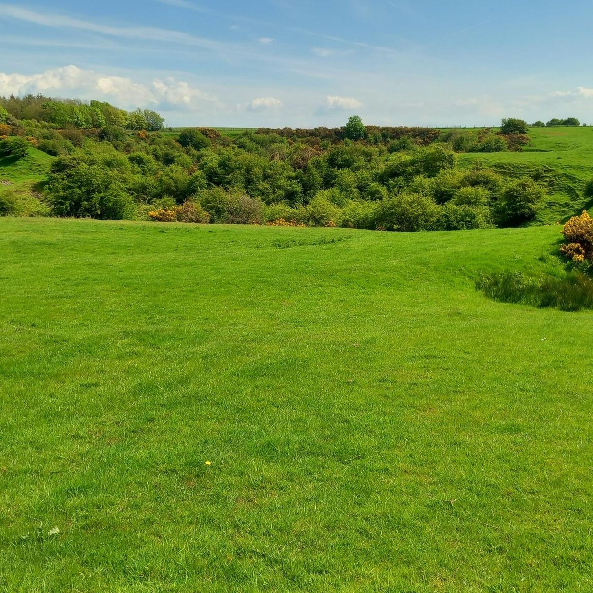
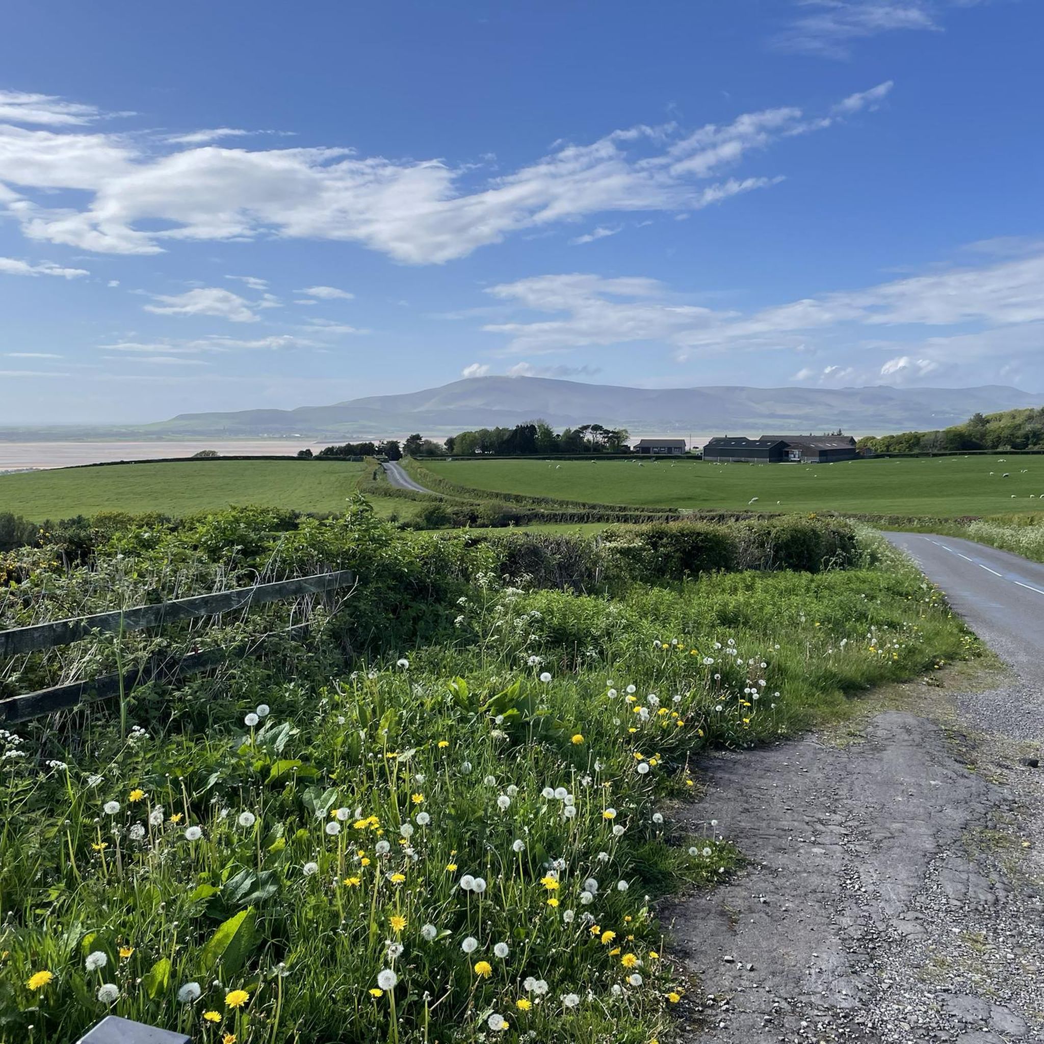
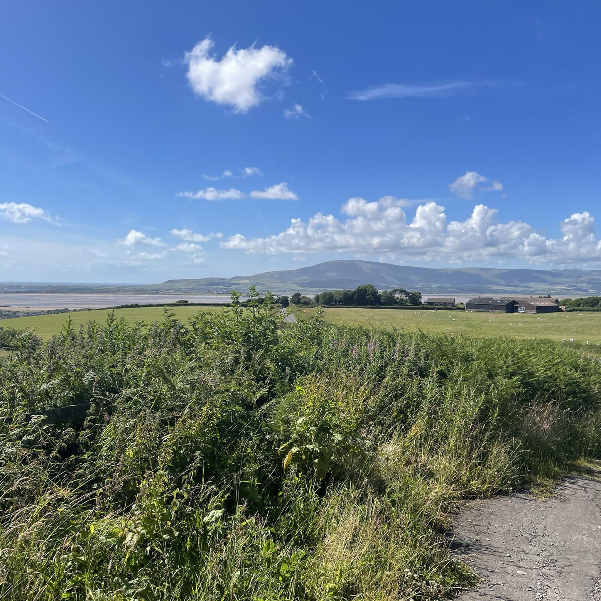
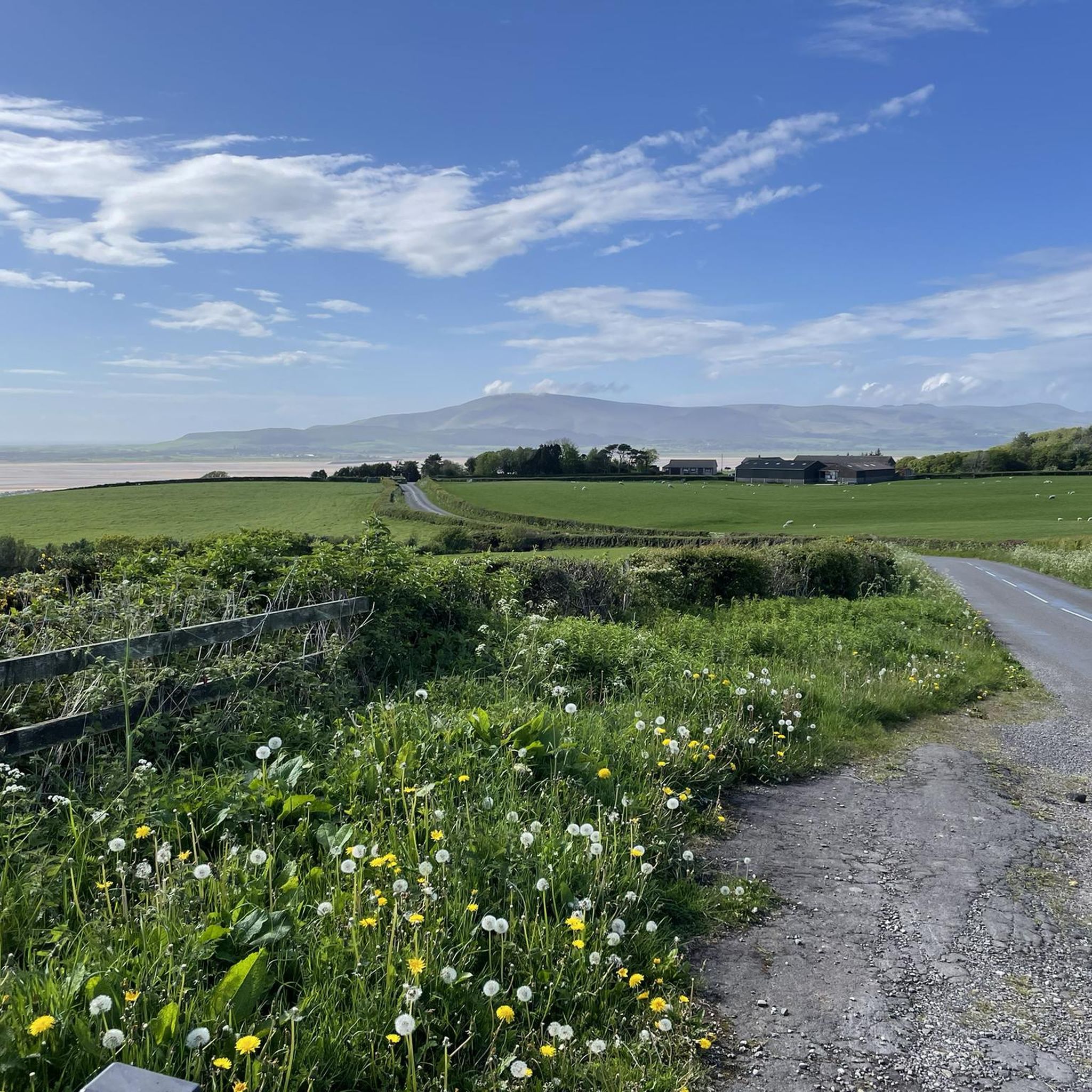
Tips from the Community


Birkrigg Common 136m P70 (446ft) (DoBIH Hill ID: 16273) [JNSA 22340] TP1387 - Birkrigg Common S5374 County of Lancashire Definitive List
0
0
Millom Park 177m P51 (581ft) (DoBIH Hill ID: 16229) [JNSA 19954] County of Cumberland Definitive List
0
0
Lowscales Bank 173m P40 (568ft) (DoBIH Hill ID: 16235) [JNSA 19961] County of Cumberland Definitive List
0
0
Lowscales Hill 190.7m P146 (626ft) (DoBIH Hill ID: 2702) [JNSA 19030] County of Cumberland Definitive List
0
0

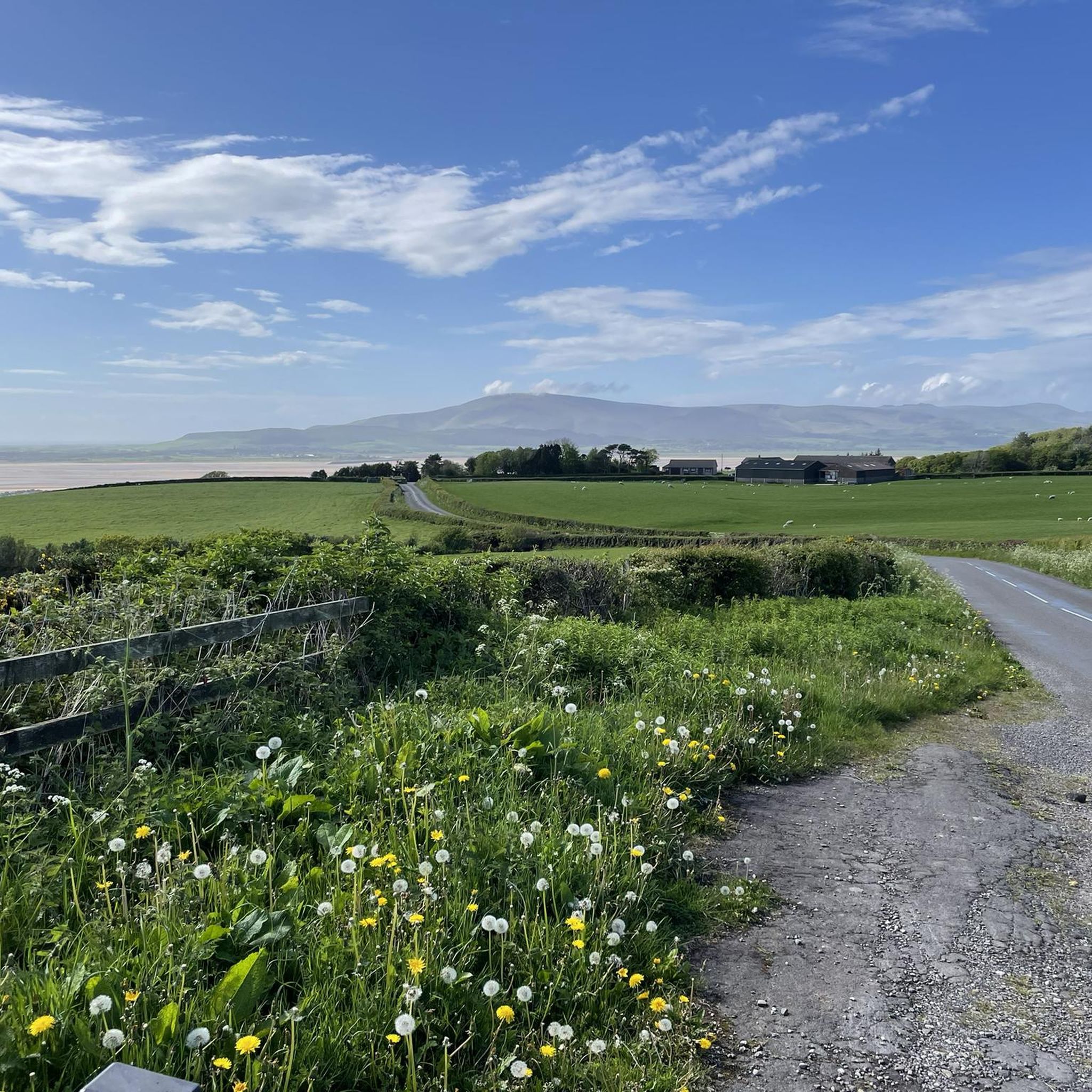
The peak at Birkrigg is only 136 metres (446 ft) but its position gives extensive views in all directions. From here you have a great view of the peaks of the Lake District, the Yorkshire Dales, Howgills, across Morecambe Bay to Arnside and Blackpool and to west Barrow.
0
0

Burney is a small fell in the Lake District National Park. It has wonderful views over to Black Combe and across the southern fells of the Lake District. There is a trig point but the highest point is a few more metres to the south-west.
1
0
Frequently Asked Questions
Which mountain peaks offer the best panoramic views around Lindal and Marton?
For expansive panoramic views, head to Birkrigg Trig Point. From this highest point on the Furness Peninsula, you can see across Morecambe Bay, the Lake District, Yorkshire Dales, Arnside, Blackpool, and Barrow. Another excellent spot is Burney Trig Point, which provides wonderful views over Black Combe and the southern fells of the Lake District.
Are there any family-friendly mountain peaks to visit in the Lindal and Marton area?
Yes, Birkrigg Trig Point is considered family-friendly. It offers an easy hike suitable for various fitness levels, allowing families to explore its unique geological formations and archaeological remains while enjoying the far-reaching vistas.
What historical features can I find on the elevated areas around Lindal and Marton?
The elevated areas, particularly around Birkrigg Trig Point, are rich in history. You can find ancient tumuli (burial mounds) and a Neolithic stone circle dating back approximately 4,000 years. The wider region also bears the historical imprint of extensive iron ore mining, with evidence of old mine workings and spoil heaps visible on many local walks.
What kind of natural landscapes can I expect to see on the peaks near Lindal and Marton?
You'll encounter diverse natural landscapes, including limestone pavements, especially prominent around Birkrigg Trig Point. The area is characterized by hills and elevated areas offering views over surrounding countryside and reservoirs. Harlock Hill, for instance, blends natural scenery with modern wind turbines.
What outdoor activities are available near the mountain peaks of Lindal and Marton?
Beyond hiking the peaks themselves, the area offers various outdoor activities. You can find numerous cycling routes, including touring bicycle options like the 'Coniston Cycleways – Ulverston and Hoad Monument loop' or 'Grange-over-Sands Promenade – Ulverston and Hoad Monument loop'. For mountain biking, explore trails such as 'Ulverston – Ulverston and Hoad Monument loop'. Road cycling enthusiasts can enjoy routes like 'Coniston Water – Coniston Village loop'. You can find more details on these activities in the cycling guide, MTB trails guide, and road cycling guide for the Lindal and Marton area.
Are there any notable landmarks or unique features on Harlock Hill?
Harlock Hill is recognized for hosting a significant wind farm, which was the UK's first community wind energy project. The landscape also includes several reservoirs, such as Poaka Beck Reservoir, and offers views towards the wind farm at Far Old Park Farm. You can also find a disused stone bridge known as Devil's Bridge, crossing the Rathmoss Beck, beside the road over Harlock Hill.
What is the highest point in the immediate Lindal and Marton area?
While not a towering mountain, Lowscales Hill is one of the highest points in the immediate vicinity, reaching 190.7 meters (626 feet). View of Millom Park and the Sea is also a notable summit at 177 meters.
What makes the mountain peaks around Lindal and Marton unique compared to other regions?
The peaks around Lindal and Marton are characterized by hills and elevated areas rather than towering mountains, offering a different kind of outdoor experience. They are unique for their blend of natural beauty, significant archaeological sites like the Neolithic stone circle at Birkrigg Trig Point, and historical industrial remnants from iron ore mining. This combination provides both scenic views and a rich cultural context.
What do visitors generally enjoy most about the mountain peaks in Lindal and Marton?
Visitors particularly appreciate the extensive views in all directions from points like Birkrigg Trig Point, which despite its modest height, offers clear sightlines to distant landmarks. The blend of easy access, historical interest, and the opportunity to explore unique geological features like limestone pavements are also highly valued.
Are there any other notable viewpoints or summits besides Birkrigg Trig Point and Burney Trig Point?
Yes, other notable elevated spots include View of Millom Park and the Sea, a summit at 177 meters offering perspectives of Millom Park and the sea. Additionally, Lowscales Bank (173m) and Lowscales Hill (190.7m) are also summits providing good viewpoints in the area.
What is the best time of year to visit the peaks around Lindal and Marton for hiking?
While specific seasonal weather details are not provided, generally, spring and autumn offer pleasant temperatures for hiking with less extreme weather than summer or winter. These seasons often provide clear views and comfortable conditions for exploring the hills and historical sites.
Most popular routes around Lindal And Marton
Most popular attractions around Lindal And Marton

Get inspired with the komoot mobile app


Explore more
See even more amazing summits around Lindal And Marton with these guides:
