The best walks and hikes around Littleton
4.3
(3)
27
hikers
8
hikes
Hiking around Littleton, Colorado, offers diverse landscapes ranging from dramatic red rock formations to extensive river corridors. The region is characterized by its position against the foothills, providing access to trails with mountain views and varied geological backdrops. Natural features include the South Platte River, Chatfield Reservoir, and areas with forests and seasonal wildflowers. These elements combine to create a varied environment for outdoor activities.
Best hiking trails around Littleton
- The most popular hiking route is Ammonosuc River Covered Bridge, a 1.0 mile (1.7 km) trail that takes 26 minutes to complete. This route features a scenic covered bridge over the Ammonosuc River.
- Another top favourite among local hikers is Gozzo and Beaver Pond Trail Loop, an easy 1.9 miles (3.0 km) path. This trail winds through natural areas, often featuring water bodies and local wildlife.
- Local hikers also love the Mount Agassiz, a 0.8 miles (1.3 km) trail leading through an elevated area, often completed in about 29 minutes.
- Hiking around Littleton is defined by red rock formations, foothills, and river corridors. The network offers options for different ability levels, from gentle walks to more challenging routes.
- The routes in Littleton are highly rated by the komoot community with an average score of 4.5 stars from over 2 reviews. More than 22 hikers have used komoot to explore Littleton's varied terrain.
Last updated: July 7, 2026
2
hikers
3.00km
00:52
80m
70m
Easy hike. Great for any fitness level. Easily-accessible paths. Suitable for all skill levels.
1
hikers
6.23km
01:45
140m
90m
Easy hike. Great for any fitness level. Easily-accessible paths. Suitable for all skill levels.

Sign up for free
1
hikers
1.68km
00:26
0m
10m
Easy hike. Great for any fitness level. Easily-accessible paths. Suitable for all skill levels.
1
hikers
1.26km
00:30
150m
0m
Easy hike. Great for any fitness level. Easily-accessible paths. Suitable for all skill levels.
551m
00:09
10m
0m
Easy hike. Great for any fitness level. Easily-accessible paths. Suitable for all skill levels.
Get access to more routes and recommendations from other explorers.
Sign up for free
Already have an account?
Our route recommendations are based on thousands of hikes, rides, and runs completed by other people on komoot.
Start today with a free account
Your next adventure awaits.
Login or Signup


Tips from the Community

Climb up Truckin’ for a solid workout, then drop into Shoulder Roll for a fast, flowy descent with granite slabs and jumps. Advanced riders can try Brokedown Palace for steep, technical lines. At Mount Agassiz, enjoy big views of the surrounding mountains.
0
0


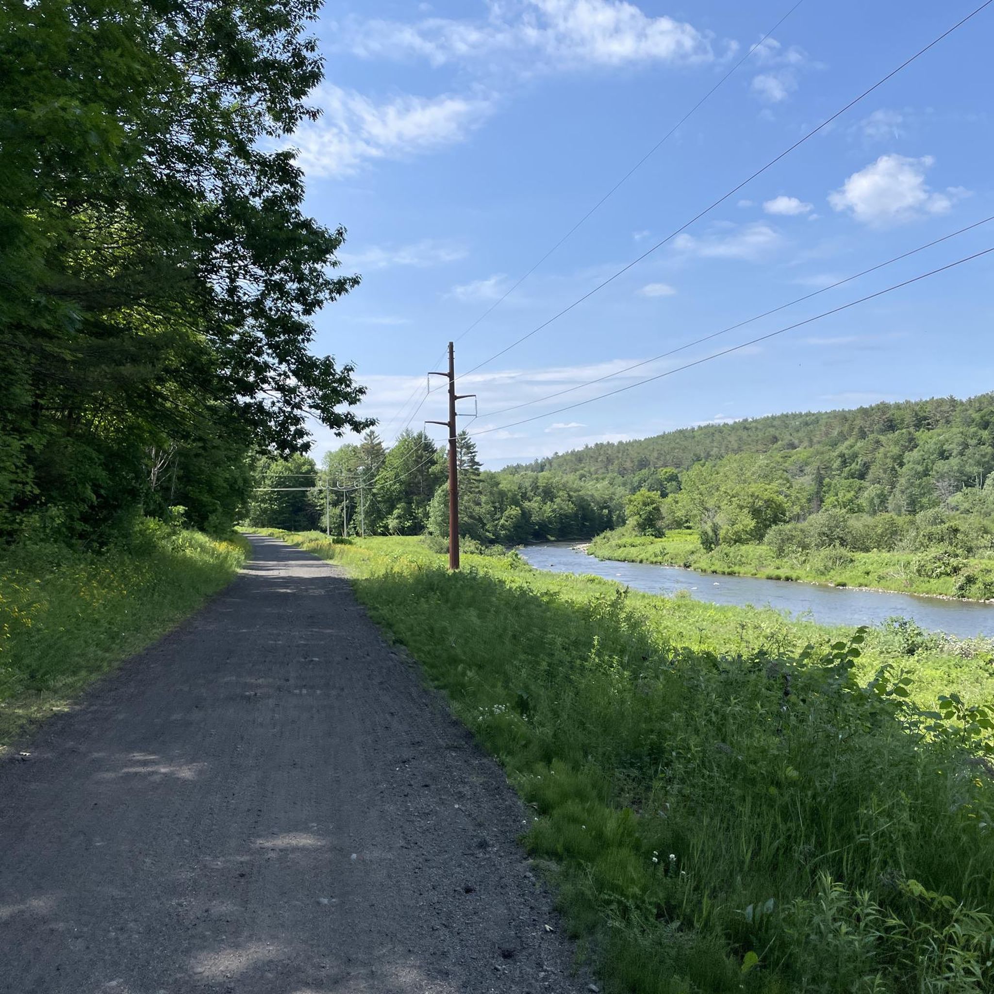
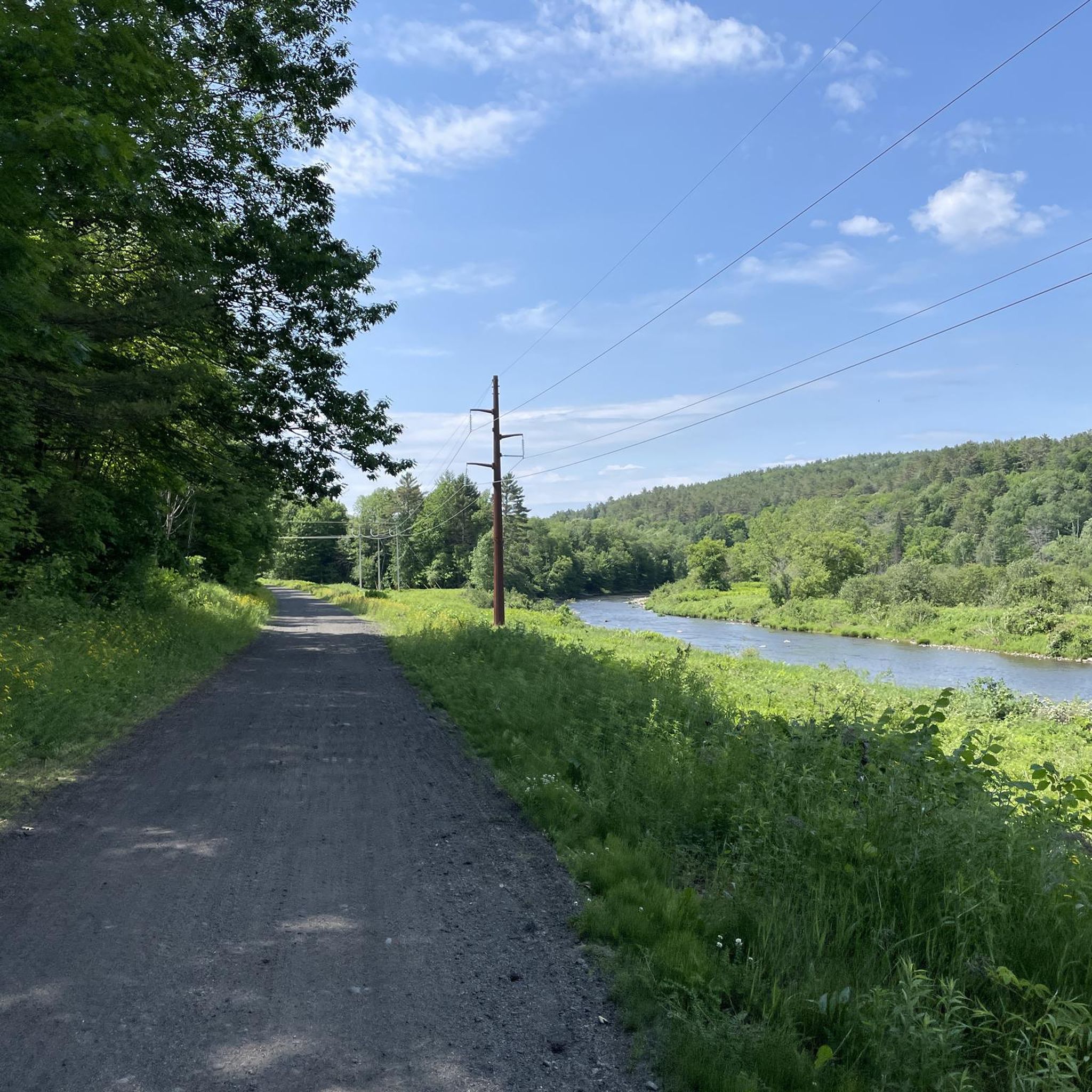
Historic covered bridge that crosses over the Ammonoosuc River. Beautiful views of the surrounding area and river. Please note you will have to hop off your bike and push it over the bridge but its well worth it.
1
0

Frequently Asked Questions
What kind of terrain can I expect on hikes around Littleton?
Littleton offers a diverse range of terrain. You'll find trails winding through dramatic red rock formations in areas like Roxborough State Park and South Valley Park, as well as routes with impressive mountain views in the foothills. The South Platte River corridor provides mostly flat, riparian trails, while other areas feature forests and open fields. Many trails, such as the Gozzo and Beaver Pond Trail Loop, offer a mix of these landscapes.
Are there any easy or beginner-friendly hiking trails in Littleton?
Absolutely! Littleton is well-suited for beginners and those looking for less strenuous walks. Many parks, including South Valley Park, feature easy-to-moderate trails. For a gentle introduction, consider the Ammonosuc River Covered Bridge walk, which is just over 1.5 km, or the very short The Dells Trail. The Mary Carter Greenway Trail also offers paved, flat options along the South Platte River.
Can I bring my dog on the hiking trails in Littleton?
Many trails in Littleton are dog-friendly, but it's important to check specific park regulations as some, like Roxborough State Park, typically do not allow dogs on their trails. Always keep your dog on a leash and be mindful of other hikers and wildlife. Trails along the South Platte River and in many city parks are generally welcoming to leashed dogs.
Are there any loop hikes available in the Littleton area?
Yes, loop hikes are a popular option for experiencing diverse scenery without retracing your steps. The Gozzo and Beaver Pond Trail Loop is a pleasant 3 km option. Another great choice is the Fox Hill Park Loop, which offers a longer 6.2 km circuit through varied terrain.
Where can I find parking for hiking trails in Littleton?
Most major parks and trailheads in Littleton, such as Roxborough State Park, South Valley Park, Deer Creek Canyon Park, and Chatfield State Park, offer designated parking areas. For trails along the Mary Carter Greenway or High Line Canal, you'll often find parking lots at various access points and connecting parks. It's always a good idea to check the specific park's website for detailed parking information before you go.
What natural features or landmarks can I see while hiking in Littleton?
Littleton's trails are rich with natural beauty. You can marvel at the dramatic red rock formations in Roxborough State Park and South Valley Park, enjoy expansive mountain views from trails in Deer Creek Canyon, or explore the riparian habitats along the South Platte River. Chatfield State Park offers views of its large reservoir, and during late spring and summer, many areas, including Roxborough, are vibrant with wildflowers. The Mount Agassiz trail provides scenic overlooks.
Are there any longer day hikes suitable for experienced hikers?
While many trails in Littleton are easy to moderate, you can combine sections of trails or explore larger parks for a longer day out. The Chatfield Reservoir loop, for example, is an 11.5-mile path suitable for a steady, long walk. For a significant loop, the Fox Hill Park Loop provides a good distance for a half-day adventure.
What do other hikers enjoy most about hiking in Littleton?
The area is highly rated by the komoot community, with an average score of 4.5 stars. Reviewers often praise the diverse landscapes, from stunning red rock formations to peaceful river corridors, and the accessibility of trails for various skill levels. The well-maintained paths and opportunities for wildlife viewing are also frequently highlighted.
Are there family-friendly hiking options in Littleton?
Littleton is an excellent destination for families, with many trails suitable for all ages. South Valley Park offers 8 miles of easy-to-moderate trails, including the popular Coyote Song Trail, which is enjoyed by families. The Mary Carter Greenway Trail is also a great paved option for strollers and young children. Shorter, easy routes like the Ammonosuc River Covered Bridge are perfect for a quick family outing.
Can I hike in Littleton during the fall or winter months?
Yes, many trails in Littleton are accessible year-round. Fall brings beautiful foliage, especially along the High Line Canal Trail with its cottonwood trees. In winter, some trails are suitable for snowshoeing, and many lower-elevation or paved paths remain clear for walking, offering a different perspective on the landscape. Always check weather conditions and trail status before heading out in colder months.
How many hiking trails are there in Littleton?
Littleton boasts an extensive network of trails. Our collection features 8 curated hiking routes, but the city itself offers over 200 miles of trails across its various parks and open spaces, providing a wide array of options for walking, hiking, and biking.
Are there any trails with unique geological features?
Littleton is particularly known for its dramatic red rock formations. Roxborough State Park and South Valley Park are prime locations to experience these unique geological features, offering breathtaking scenery and excellent photographic opportunities. Trails within these parks wind through and around these striking formations.

Get inspired with the komoot mobile app


Explore more
Browse the best Hikes in other regions.
