The best gravel rides around Champorcher
4.8
(5)
43
riders
3
rides
Gravel biking around Champorcher offers diverse terrain within the Aosta Valley, characterized by its wild, unspoiled nature. The region features extensive networks of trails winding through silent forests, including large stands of hooked pines, and past numerous alpine lakes. Riders will encounter varied landscapes, from white roads through valleys to challenging ascents in areas like the Mont Avic Natural Park, providing unique vistas of the surrounding peaks. The elevation, starting at 1,427 meters above sea level, ensures a mix of…
Last updated: October 16, 2026
23.0km
04:40
1,920m
110m
Hard gravel ride. Very good fitness required. You may need to push your bike for some segments of this route.
5.0
(1)
1
riders
25.0km
02:25
830m
830m
Hard gravel ride. Very good fitness required. Mostly paved surfaces. Suitable for all skill levels.

1
riders
16.1km
01:25
430m
430m
Moderate gravel ride. Good fitness required. Mostly paved surfaces. Suitable for all skill levels.
5.0
(1)
26
riders
32.8km
03:16
1,360m
1,360m
Hard gravel ride. Very good fitness required. Mostly paved surfaces. Suitable for all skill levels.
4.3
(3)
13
riders
27.1km
02:14
870m
870m
Hard gravel ride. Very good fitness required. Mostly paved surfaces. Suitable for all skill levels.
Our route recommendations are based on thousands of hikes, rides, and runs completed by other people on komoot.
Start today with a free account
Your next adventure awaits.
Popular around Champorcher
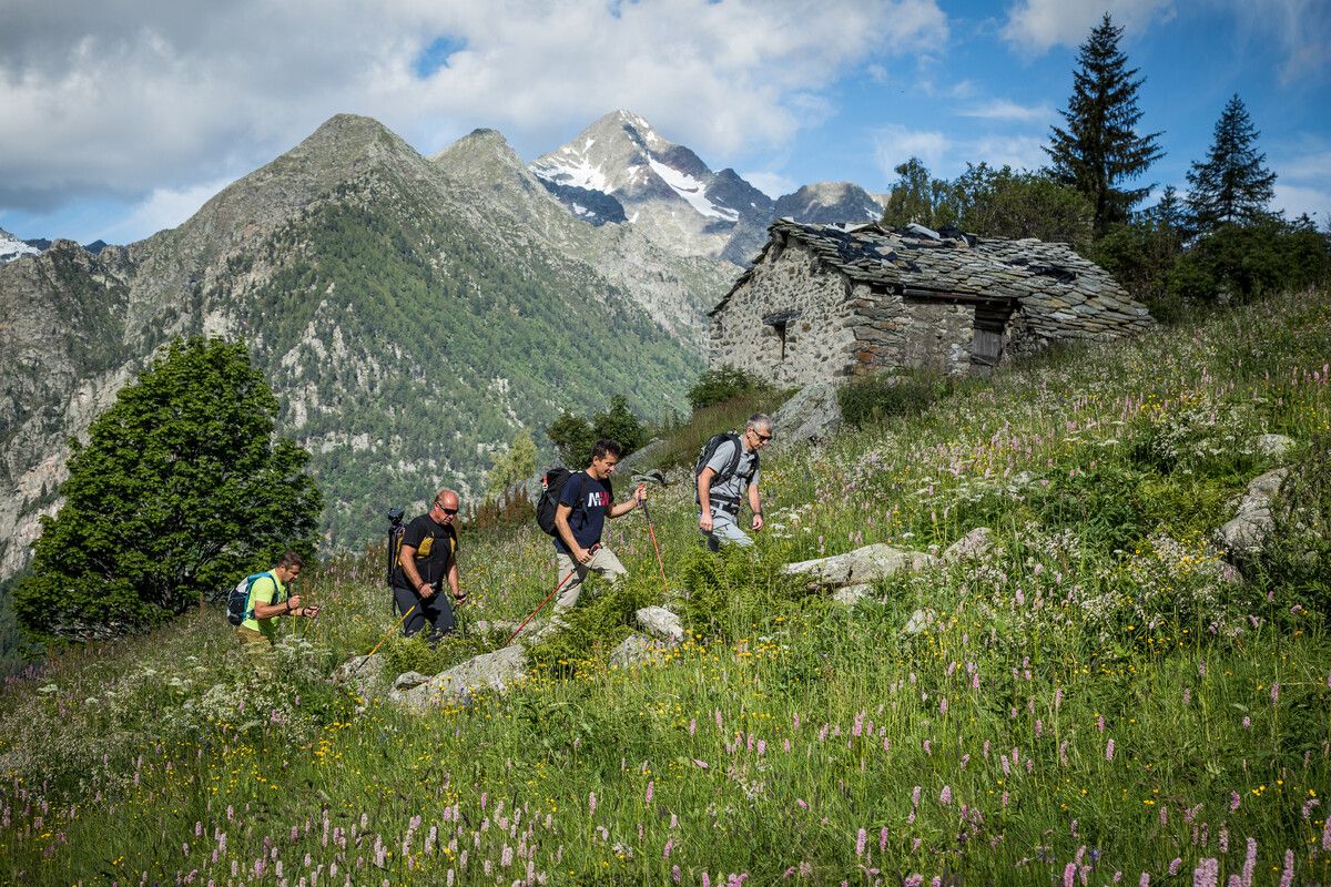
Hidden trails in the Aosta Valley – mountains you don't yet know

Alta Via n. 2 of the Aosta Valley — high peaks and beautiful valleys in Italy
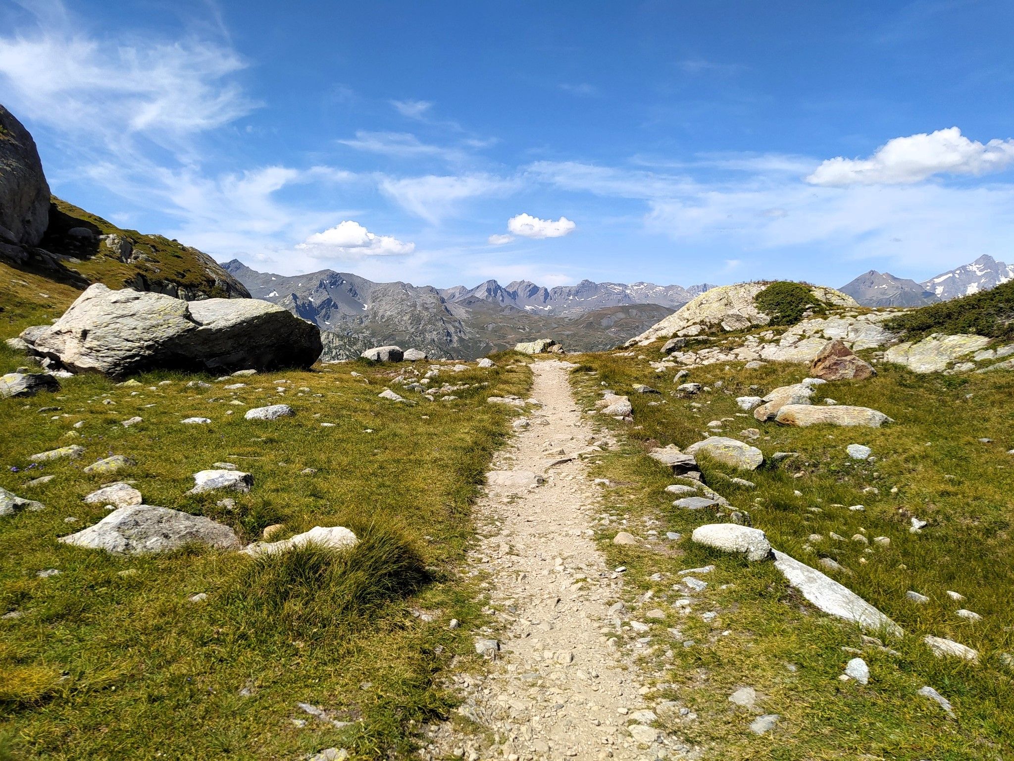
Running in paradise – Alta Via 2 of Valle d'Aosta
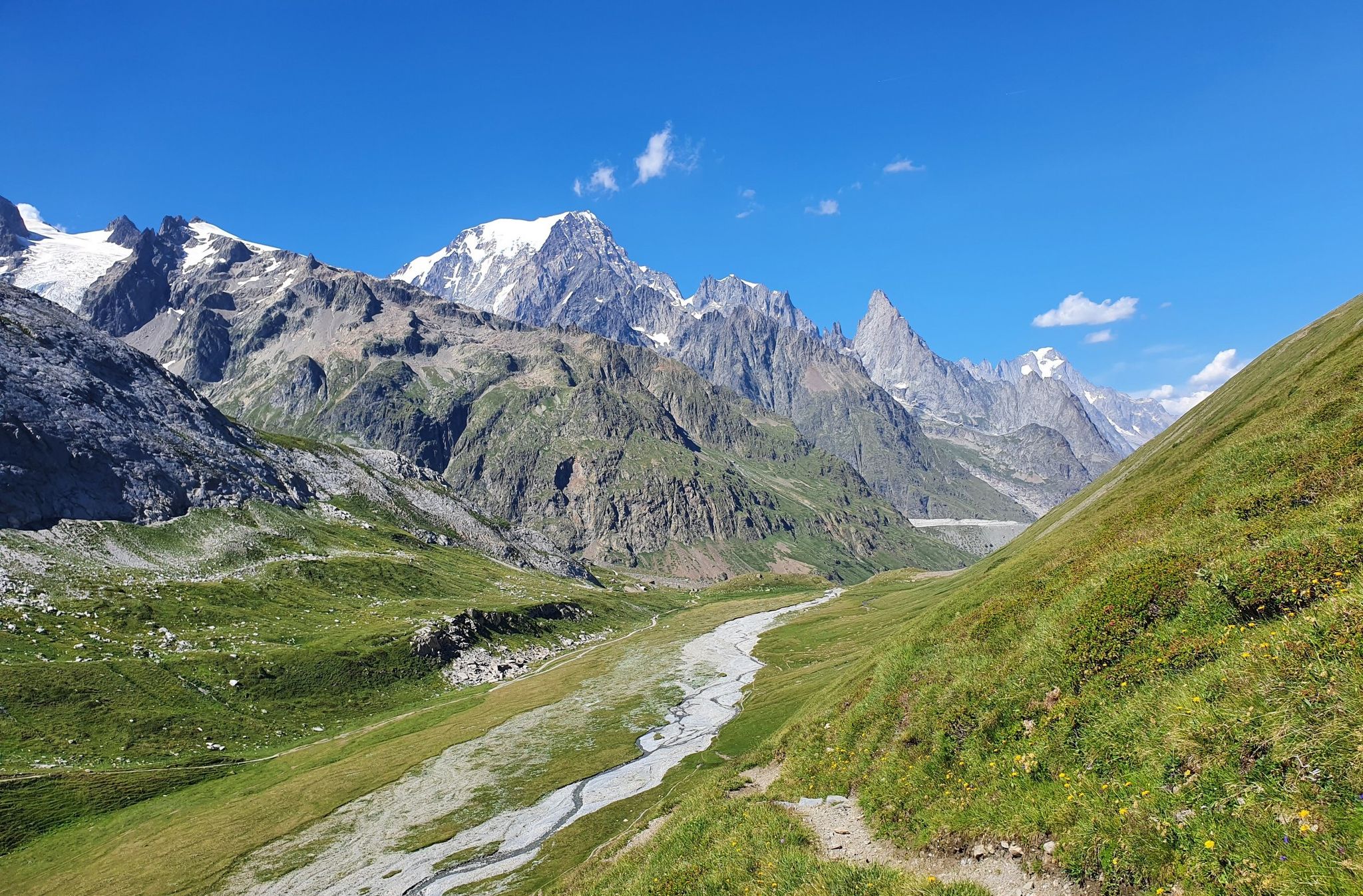
High peaks and beautiful valleys in Italy – Aosta Valley’s Alta Via Trail 2
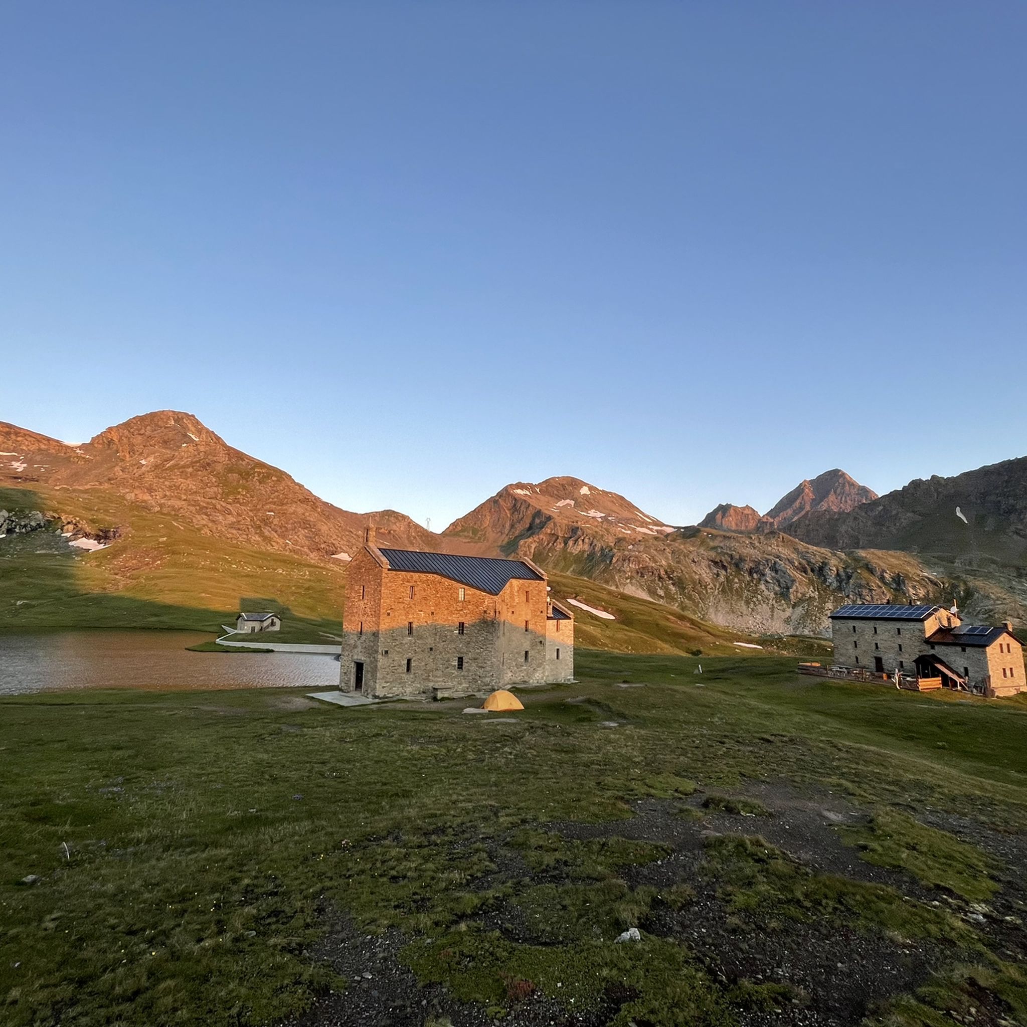
Hiking around Champorcher
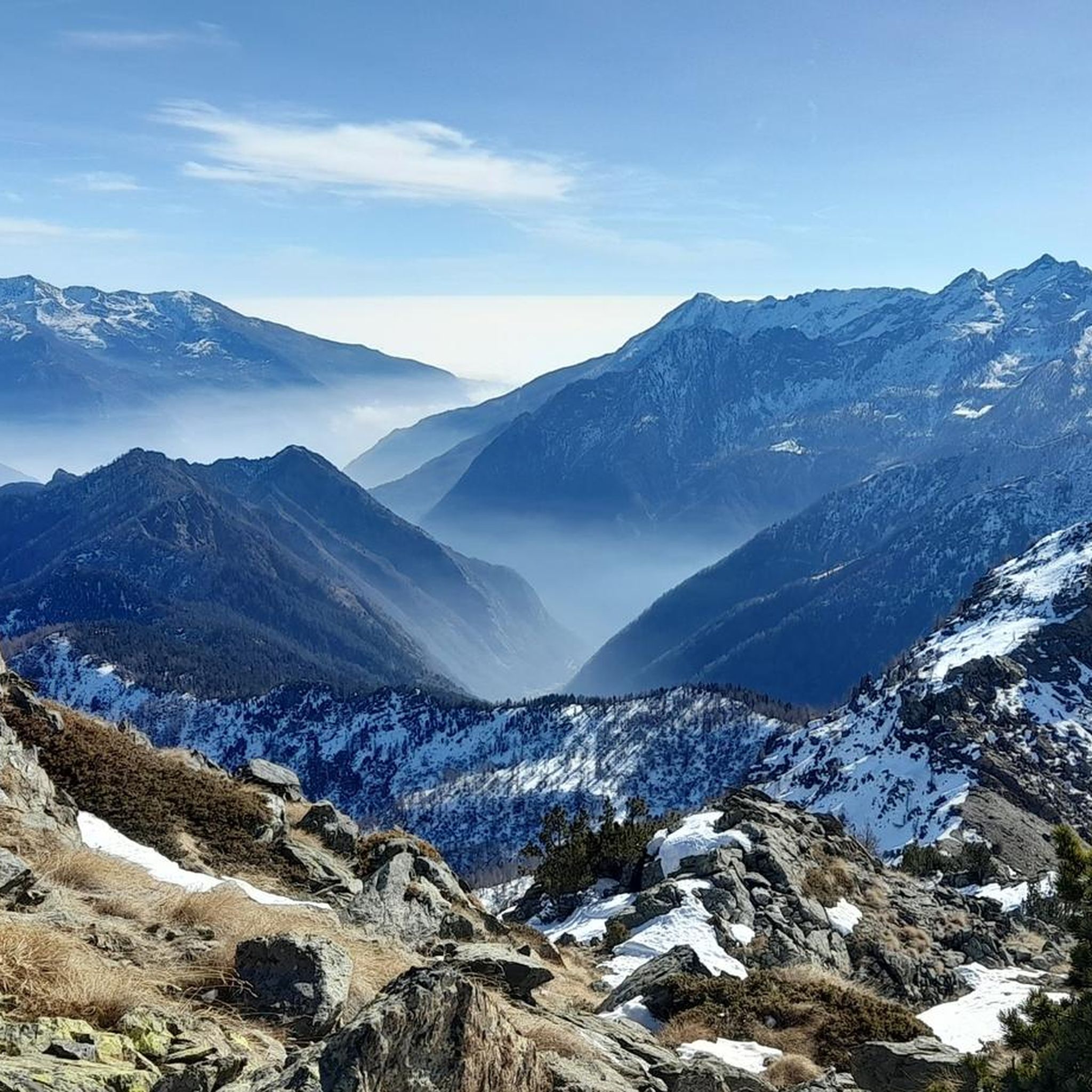
Running Trails around Champorcher
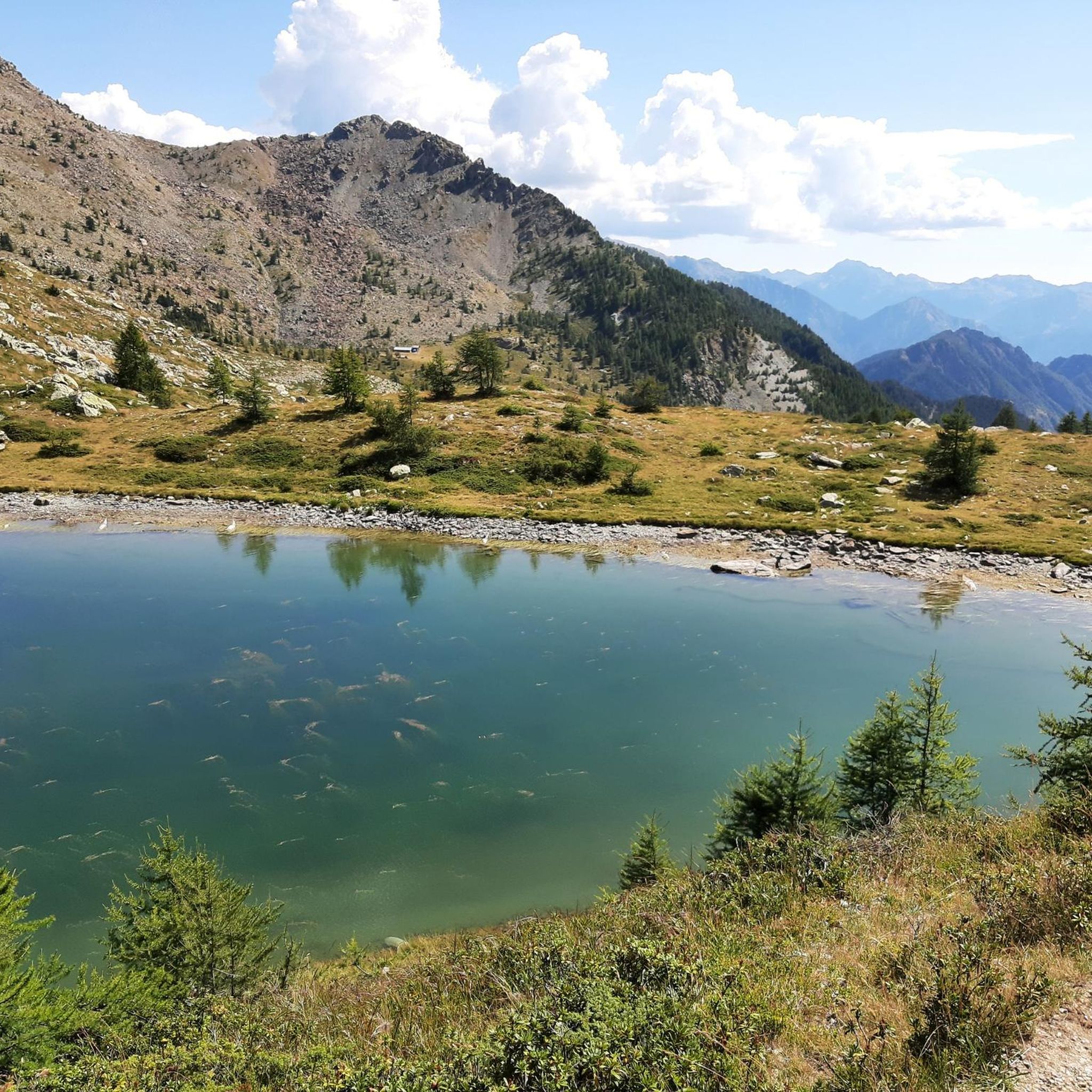
Road Cycling Routes around Champorcher
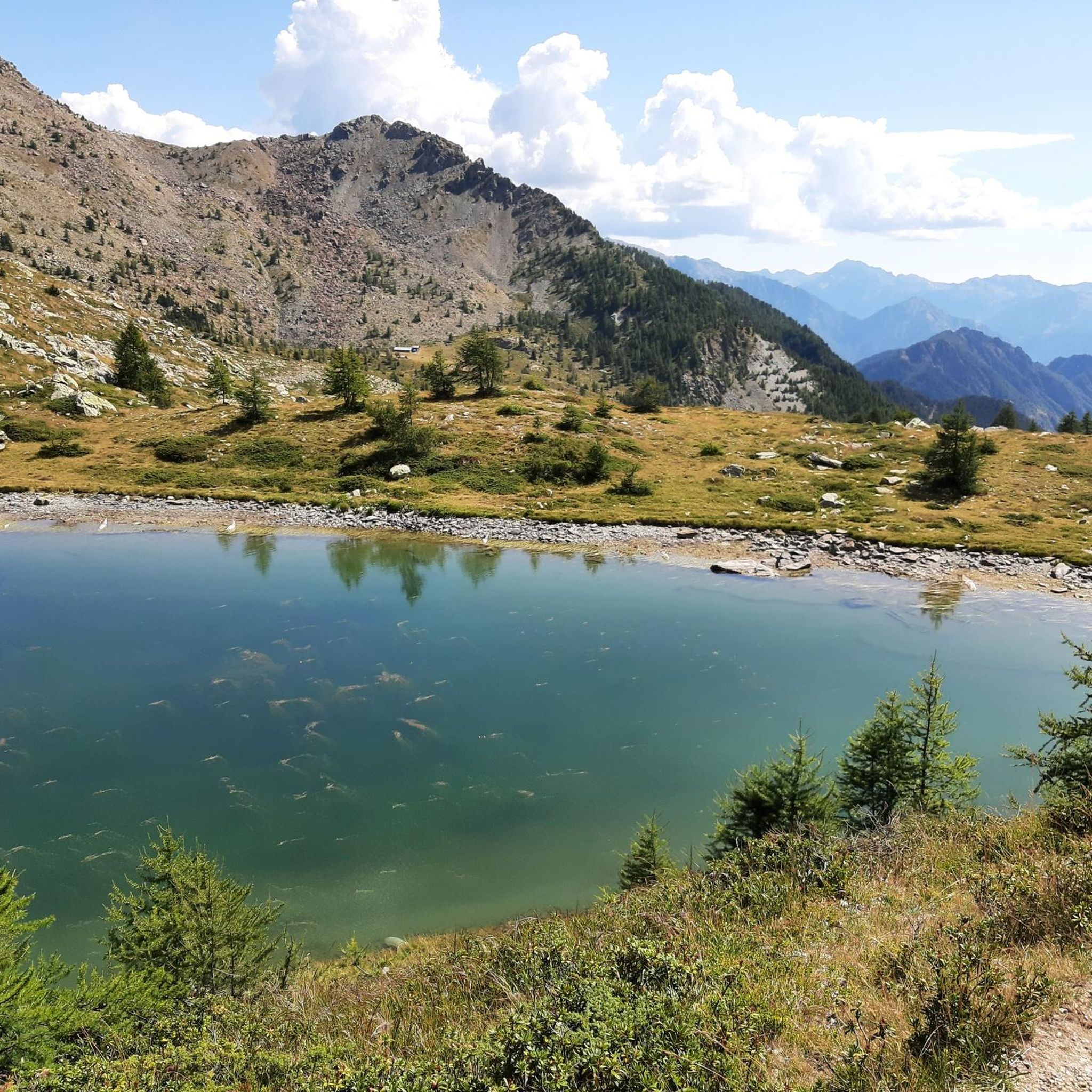
MTB Trails around Champorcher
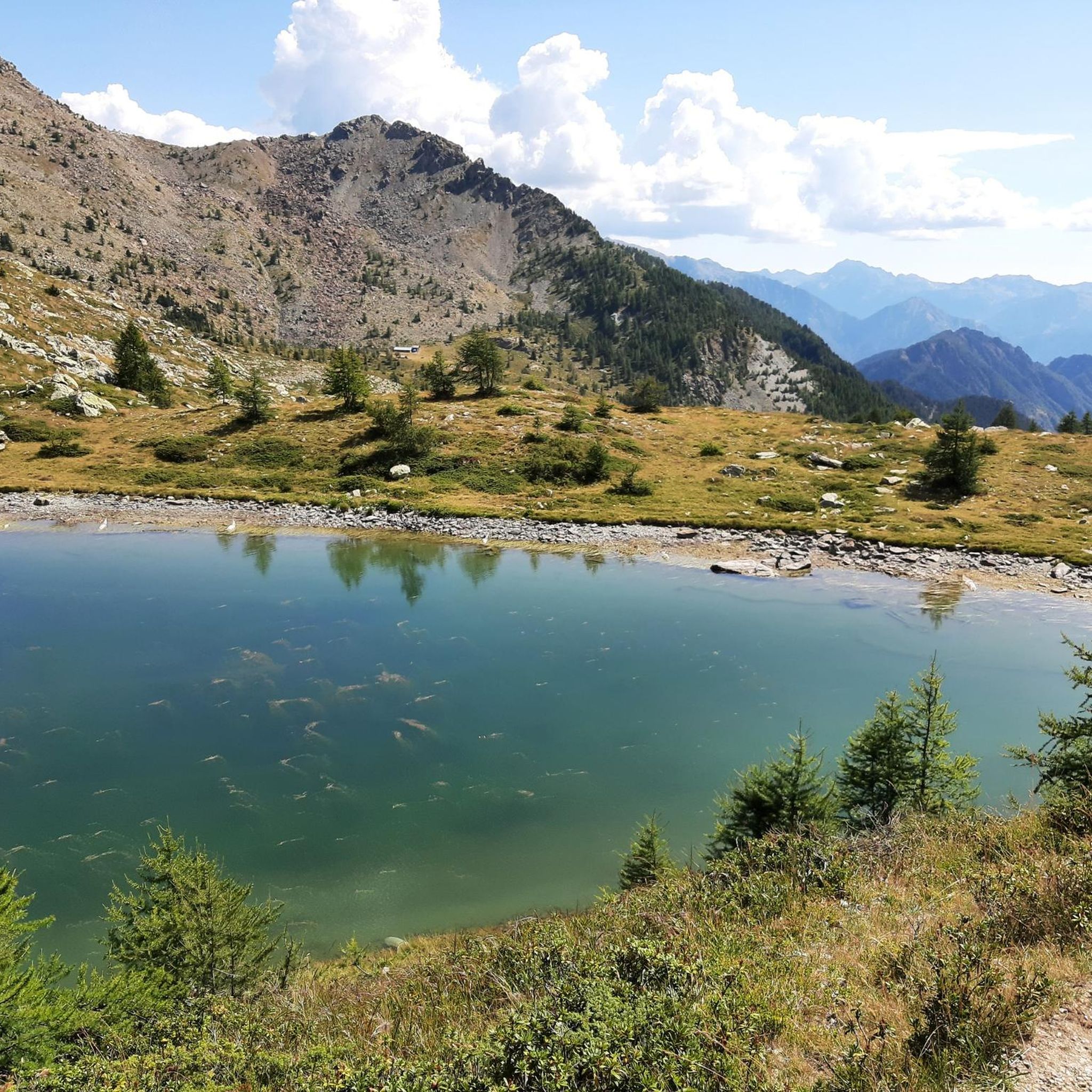
Cycling around Champorcher
Other adventures around Champorcher


Tips from the Community


Even the non-snowy ski slopes in summer are suitable for MTB excursions
0
0
passable with all types of bikes, then entering Monavic park the path becomes dirt and leaves space only for gravel, mountain bike or e-bike
0
0
do not underestimate the climb, equip yourself for possible rain
0
0


The Castello di Suzey stands on an inaccessible rocky spur, in a position that in the 14th century guaranteed absolute control over the transit of the Lys valley. The structure is a classic example of a medieval enclosure castle, dominated by a massive quadrangular tower and surrounded by the remains of a fortified village now swallowed by vegetation. This stronghold was the headquarters of the lords of Suzey, a branch of the Vallaise known for their bellicose nature and independence from central powers. A famous anecdote concerns the family's determination to defend their privileges: it is said that the lords of Suzey imposed such severe transit taxes that they sparked fierce disputes with merchants and neighboring communities, turning the castle into a sort of armed customs post. A local legend also tells that the castle was connected to the other Vallaise properties in Perloz via a network of secret passages dug directly into the rock, used to move troops and riches away from prying eyes during sieges. Another popular tale describes the castle's end as a dramatic event: a devastating fire, which broke out during an enemy attack, would have marked the definitive abandonment of the structure.
0
0
The historic center of Perloz constitutes an architectural nucleus of considerable interest for understanding the social and political dynamics of the lower Aosta Valley. The heart of the settlement is represented by the Casaforte Vallaise, a 14th-century quadrangular structure that served as the administrative and judicial center for the noble family of the same name. The building preserves medieval construction elements, including the coat of arms carved on the portals, a testament to the exercise of jurisdictional power over the territory. A short distance away stands the parish church of San Salvatore, characterized by a facade entirely frescoed with a representation of the Last Judgment dating back to the 17th century, a work that served as a tool for religious instruction for the local population. The monumental route continues with the Museum of the Resistance, housed in premises that recall the historical memory of the "Brigata Lys". Here, documents and artifacts related to the events of 1944 are preserved, when the village became a fundamental operational center for the partisan formations in the area. Walking through the narrow stone streets, one also notices the presence of numerous stone fountains and community ovens, symbols of the collective management of rural resources. This stratification of different eras, from medieval feudalism to contemporary history, makes the center of Perloz a relevant technical and cultural stop for those crossing the slopes of the Lys valley.
0
0

In this stretch, the Via Francigena follows the ancient Roman route of the Via delle Gallie, where the paving retains the ruts of millennia-old carts. Connecting Augusta Prætoria to the Alpine passes, this strategic road shaped the landscape with rest stops and villages, some of whose names still indicate the distance in miles from the city. Traveling it today means experiencing a direct connection between the spiritual journey of medieval pilgrims and the engineering of the Romans.
0
0
Frequently Asked Questions
How many gravel bike trails are available in Champorcher?
You'll find several gravel bike trails around Champorcher, with 7 routes currently available on komoot. These routes offer a diverse range of experiences, from moderate paths to challenging rides through the region's wild and unspoiled nature.
Are there gravel bike trails suitable for beginners in Champorcher?
While many routes in Champorcher are challenging, there is at least one moderate option, the Fort Bard – Fort Bard loop from Bard. This route offers a gentler introduction to the region's gravel biking, allowing you to enjoy the scenery without overly strenuous climbs.
When is the best time of year for gravel biking in Champorcher?
The ideal time to explore Champorcher's gravel trails is from late spring to autumn. During these months, the climate is most favorable, and the landscapes are particularly vibrant, offering an infinite palette of greens in summer and rich yellows and browns in autumn.
What kind of landscapes can I expect to see while gravel biking in Champorcher?
Champorcher offers incredibly diverse landscapes. You'll ride through silent forests, including large stands of hooked pines, past numerous stunning alpine lakes like Lake Miserin and Lake Muffé, and along white roads winding through valleys. Higher elevations provide unique vistas of the Monte Rosa peaks, and on clear days, you might even see Gran Paradiso and the Matterhorn.
Are there any circular gravel bike routes in Champorcher?
Yes, Champorcher features several excellent loop trails. A popular option is the Col d'Arlaz loop, which takes you through forested landscapes and open areas. Another highly-rated circular route is the Dondena Hut – Lake Miserin loop from Champorcher, leading through the Dondena basin and past the beautiful Lake Miserin.
What natural attractions can I see along the gravel bike trails in Champorcher?
Many trails offer access to stunning natural monuments and waterfalls. You might encounter the impressive Lillaz Waterfalls or the serene Lake Muffé. The region is rich with alpine lakes and the Ayasse stream, which carves deep gorges and forms spectacular waterfalls.
Are there any challenging gravel bike routes for experienced riders?
Absolutely. Champorcher is known for its 'hard gravel rides,' especially around the Mont Avic Natural Park. Routes like the Valle di Champorcher Cycle Route, which ascends to 2,593 meters at Col de Laris, offer significant elevation gains and varied terrain, requiring good to very good fitness.
What do other gravel bikers enjoy most about riding in Champorcher?
The area is highly rated by the komoot community, with an average score of 4.9 stars. Reviewers often praise the wild, unspoiled nature, the silence filled with freedom, and the diverse terrain that offers both scenic beauty and challenging rides. The unique vistas of the surrounding peaks are also a frequent highlight.
Can I find routes that pass through the Mont Avic Natural Park?
Yes, the Mont Avic Natural Park is a cornerstone of Champorcher's appeal and features prominently in several gravel routes. The Valle di Champorcher Cycle Route, for instance, leads directly through this park, known for its silent forests and abundant alpine lakes.
Are there any long-distance gravel routes available?
For those seeking a longer adventure, the Staffal – View of Donnas loop from Donnas is a substantial route covering over 88 kilometers. This challenging trail offers an extensive exploration of the region's diverse terrain and landscapes.
What kind of terrain can I expect on Champorcher's gravel trails?
The terrain is quite varied, ranging from paths and farm roads to forest tracks and connecting local roads. You'll encounter white roads winding through valleys, challenging ascents, and descents, often with a mix of gravel, dirt, and some paved sections, providing a true gravel biking experience.
Most popular attractions around Champorcher

Get inspired with the komoot mobile app


Explore more
Browse the best Gravel rides in other regions.
