The best MTB trails around Poinson-Lès-Fayl
2.5
(2)
14
riders
6
rides
Mountain bike trails around Poinson-Lès-Fayl are set within the tranquil Haute-Marne department, characterized by its extensive forests and rolling plains. The landscape features natural gradients, with elevations ranging from 275m to 362m, providing varied terrain for mountain biking. Key natural features include the Bois de Poinson, offering shaded paths, and streams like the ruisseau de Paissard, contributing to the area's natural ambiance. This environment supports a network of trails suitable for exploration.
Best mountain bike trails around Poinson-Lès-Fayl
- The most popular mountain bike trail is Loupi Trail – Our Lady of Renewal loop from Grenant, a 14.3 miles (23.0 km) trail that takes 2 hours 4 minutes to complete, leading through varied forest and countryside.
- Another top favourite among local mountain bikers is Mount Olivotte – Vierge de Belmont loop from Fayl-Billot, a moderate 22.5 miles (36.2 km) path, offering views of the surrounding rolling plains and woodlands.
- Local mountain bikers also love the Mount Olivotte loop from Fayl-Billot, a 17.3 miles (27.9 km) trail leading through the Bois de Poinson, often completed in about 2 hours 1 minute.
- Mountain biking around Poinson-Lès-Fayl is defined by dense woodlands, rolling plains, and natural gradients. The network offers options for different ability levels, from easy to moderate.
- The routes in Poinson-Lès-Fayl are highly rated by the komoot community with an average score of 1.0 stars from 1 review. More than 10 mountain bikers have used komoot to explore Poinson-Lès-Fayl's varied terrain.
Last updated: July 11, 2026
4.0
(1)
3
riders
28.7km
01:49
340m
340m
Moderate mountain bike ride. Good fitness required. Suitable for all skill levels.
1.0
(1)
2
riders
23.0km
02:04
360m
360m
Moderate mountain bike ride. Good fitness required. Advanced riding skills necessary.

Sign up for free
3
riders
35.5km
02:53
420m
420m
Moderate mountain bike ride. Good fitness required. Suitable for all skill levels.
3
riders
27.9km
02:01
390m
390m
Moderate mountain bike ride. Good fitness required. Suitable for all skill levels.
2
riders
26.8km
01:53
300m
300m
Moderate mountain bike ride. Good fitness required. Suitable for all skill levels.
Our route recommendations are based on thousands of hikes, rides, and runs completed by other people on komoot.
Start today with a free account
Your next adventure awaits.
Login or Signup

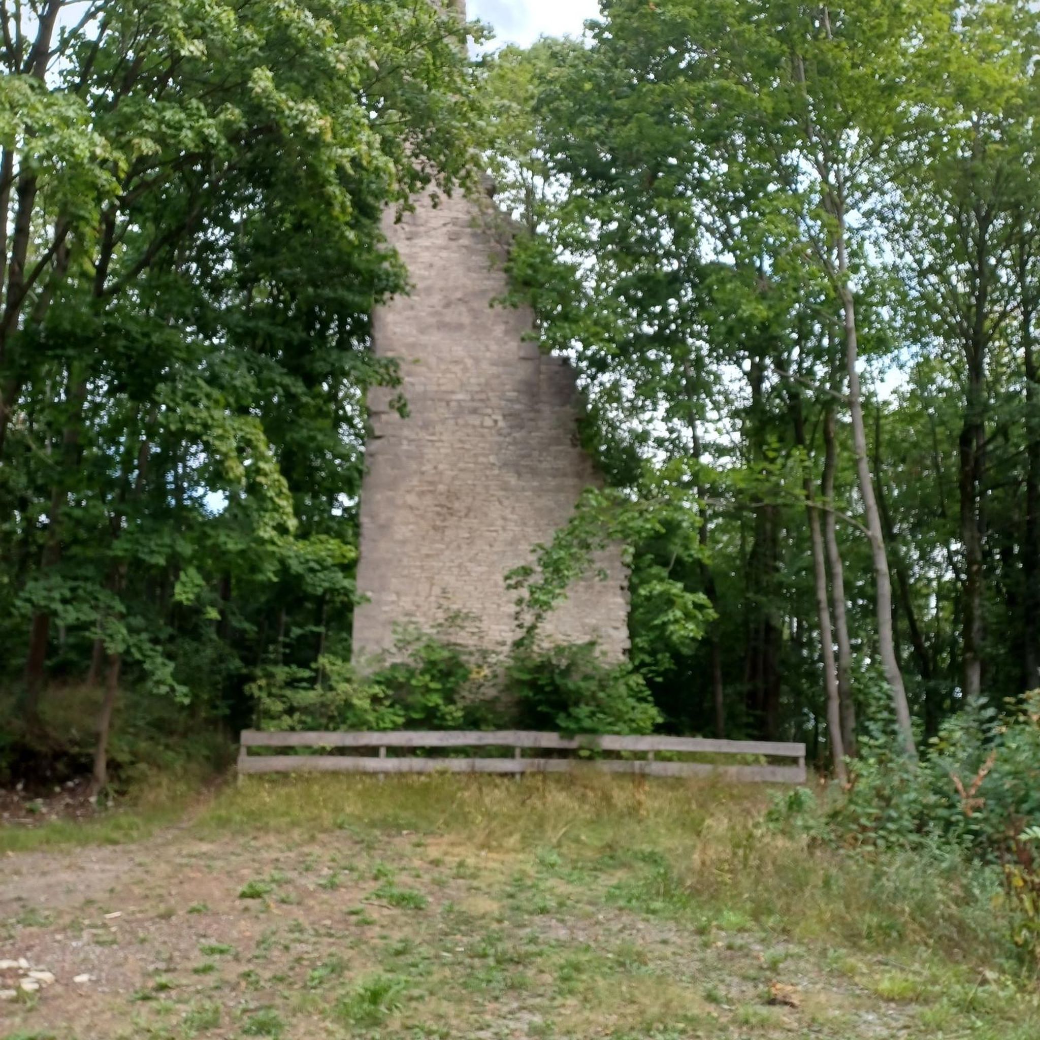
Tips from the Community

Narrow, short but fun forest trail that passes by the Loupi cabin.
0
0
The Montarlot tumulus was built between the two Iron Ages, from 600 to 450 BC. It measures nearly 20 m in diameter and a total height of 1.30 m. (Source: 4 Rivières Tourist Office) Unfortunately, it is relatively overgrown with scrub.
0
0
At the foot of this statue of the Virgin Mary overlooking the village of Montarlot-lès-Champlette, there is a bench that offers a beautiful view of Champlitte and its surroundings, as well as the Jura and the Alps. The statue is located along the Sentier des Chèvres, a pretty single-track passage along the edge of the hill (very nice for mountain biking!).
0
0

The Saôlon is a tributary of the Saône. 71 kilometers long, this river rises about ten kilometers from here, north of Culmont.
0
0
Small corner hidden in the hollow of a valley in the forest. On the east side there is a path joining Le Foultot and Torcenay, on the west side there is a big steep slope joining the Chalindrey-Les Loges road.
0
0
Frequently Asked Questions
How many mountain bike trails are available around Poinson-Lès-Fayl?
There are 5 mountain bike trails available around Poinson-Lès-Fayl, offering a range of experiences through the region's forests and rolling plains.
What kind of terrain can I expect on mountain bike trails in Poinson-Lès-Fayl?
You can expect varied terrain characterized by extensive forests, particularly the Bois de Poinson, and rolling plains. The area has natural gradients with elevations ranging from 275m to 362m, providing a mix of ascents, descents, and flatter sections suitable for mountain biking.
Are there mountain bike trails suitable for beginners in Poinson-Lès-Fayl?
Yes, there is at least one easy mountain bike trail. The Mount Olivotte loop from Poinson-lès-Fayl is an easy 17.4 miles (27.9 km) route, making it a good option for those new to mountain biking in the area.
What are the typical lengths and durations of mountain bike trails in this region?
The mountain bike trails around Poinson-Lès-Fayl typically range from approximately 14 miles (23 km) to 22.5 miles (36 km). Most routes can be completed within 2 to 3 hours, depending on your pace and the specific trail.
Are there any circular mountain bike routes available?
Yes, all the listed mountain bike trails in the area are circular routes. For example, you can explore the Loupi Trail – Our Lady of Renewal loop from Grenant or the Mount Olivotte loop from Fayl-Billot, both offering round trips.
What natural features can I see along the mountain bike trails?
The trails often lead through dense woodlands like the Bois de Poinson, offering shaded paths. You might also encounter small streams such as the ruisseau de Paissard, which contribute to the serene natural ambiance of the area.
Are there any historical or cultural landmarks near the mountain bike routes?
While specific landmarks directly on the routes are limited, the region is home to the Saint-Pellegrin Hermitage within the Bois de Poinson, featuring a chapel carved into rock and a legendary healing fountain. Additionally, nearby attractions include Chateau la Rochelle.
What do other mountain bikers enjoy most about mountain biking in Poinson-Lès-Fayl?
The area is highly rated by the komoot community, with an average score of 1.0 stars from 1 review. Mountain bikers appreciate the varied terrain, the tranquility of the extensive forests, and the natural gradients that make for engaging rides.
What is the best time of year for mountain biking in Poinson-Lès-Fayl?
The Grand Est region, including Poinson-Lès-Fayl, generally offers good mountain biking conditions from spring through autumn. During these seasons, the weather is typically mild, and the forest paths are most accessible and enjoyable. Winter conditions can vary, with potential for mud or snow.
Are there any trails that offer good viewpoints?
Many routes, such as the Mount Olivotte – Vierge de Belmont loop from Fayl-Billot, traverse rolling plains and woodlands, providing scenic views of the surrounding countryside. The natural elevation changes in the area ensure opportunities for picturesque vistas.
Is there parking available near the trailheads?
While specific parking details for each trailhead are not provided, routes often start from villages like Grenant or Fayl-Billot, where public parking is typically available. It is advisable to check local parking options in these starting points before your ride.
Are there any mountain bike trails that pass through or near villages?
Yes, some routes are designed as loops from nearby villages. For instance, the Loupi Trail – Our Lady of Renewal loop starts from Grenant, and two Mount Olivotte loops begin from Fayl-Billot, allowing for easy access to local amenities.
Most popular attractions around Poinson-Lès-Fayl

Get inspired with the komoot mobile app


Explore more
Browse the best MTB trails in other regions.
