The best walks and hikes around Poinson-Lès-Fayl
4.3
(8)
30
hikers
7
hikes
Hiking around Poinson-Lès-Fayl offers diverse natural landscapes within France's Grand Est region. The area features extensive forested areas, picturesque river valleys, and gently undulating terrain. Elevations range from 275 to 362 meters, providing varied experiences for different activity levels.
Best hiking trails around Poinson-Lès-Fayl
- The most popular hiking route is Hiking loop from Bourguignon-lès-Morey, a 7.3 miles (11.7 km) trail that takes 3 hours 15 minutes to complete. This moderate route explores the local woodlands and countryside.
- Another top…
Last updated: July 1, 2026
4.3
(3)
6
hikers
11.7km
03:16
220m
230m
Moderate hike. Good fitness required. Easily-accessible paths. Suitable for all skill levels.
4.7
(3)
5
hikers
7.37km
02:04
150m
150m
Moderate hike. Good fitness required. Easily-accessible paths. Suitable for all skill levels.

Sign up for free
4.0
(2)
8
hikers
6.08km
01:41
100m
100m
Easy hike. Great for any fitness level. Easily-accessible paths. Suitable for all skill levels.
5.0
(1)
8
hikers
12.6km
03:39
330m
330m
Moderate hike. Good fitness required. Easily-accessible paths. Suitable for all skill levels.
5.0
(1)
4
hikers
8.72km
02:21
110m
110m
Moderate hike. Good fitness required. Easily-accessible paths. Suitable for all skill levels.
Get access to more routes and recommendations from other explorers.
Sign up for free
Already have an account?
Our route recommendations are based on thousands of hikes, rides, and runs completed by other people on komoot.
Start today with a free account
Your next adventure awaits.
Login or Signup


Tips from the Community

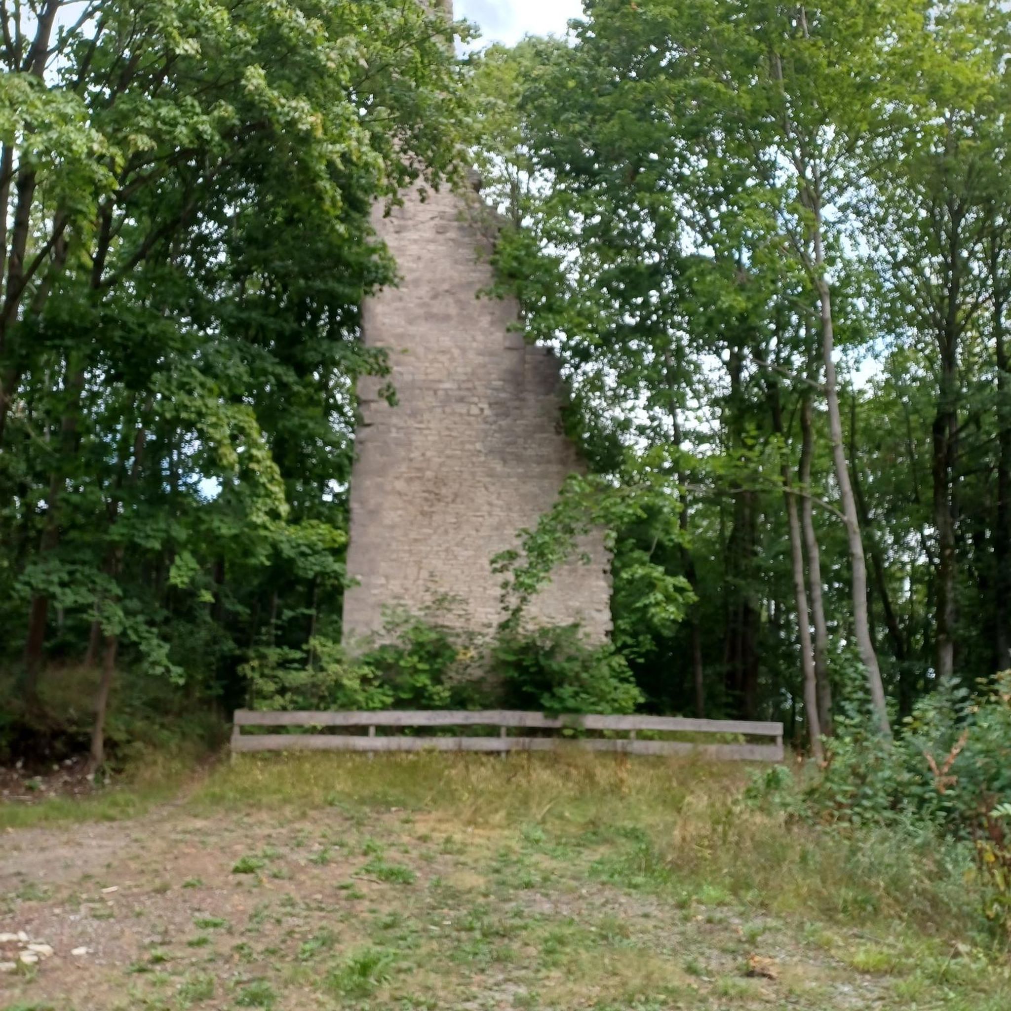
Tucked away in the woods is this rock that is easy to walk on and offers a beautiful view over the country and the village of Molay. Caution is advised, there are no railings, only your own prudence as a fall protection.
2
0
Frequently Asked Questions
What kind of landscape can I expect while hiking around Poinson-Lès-Fayl?
Hiking around Poinson-Lès-Fayl offers a diverse natural landscape, characterized by extensive lush forests, picturesque river valleys, and gently undulating terrain. You'll encounter serene woodlands, streams like the Paissard and Volavril, and varied elevations ranging from 275 to 362 meters, providing a rich and engaging experience.
How many hiking trails are available in the Poinson-Lès-Fayl area?
There are over 5 hiking routes documented on komoot for the Poinson-Lès-Fayl area, offering a good selection for exploring the local environment.
Are there hiking trails for all skill levels in Poinson-Lès-Fayl?
Yes, the area caters to various preferences. While most routes are moderate, there is at least one easy trail available, such as the Hiking loop from Bourguignon-lès-Morey, which is 6.1 km long. The gently undulating landscape makes many paths accessible.
What do other hikers enjoy most about the trails in Poinson-Lès-Fayl?
The hiking routes in Poinson-Lès-Fayl are highly rated by the komoot community, with an average score of 4.4 stars from over 10 reviews. Hikers often praise the quiet woodlands and varied terrain that make for an enjoyable outdoor experience.
Are there any circular hiking routes available?
Yes, many of the trails in the area are designed as loops. For example, you can explore the local woodlands and countryside on the Hiking loop from Bourguignon-lès-Morey, or enjoy views of the Montagne de la Roche on the Montagne de la Roche loop from Charmes-Saint-Valbert.
Can I bring my dog on the hiking trails around Poinson-Lès-Fayl?
Generally, dogs are welcome on hiking trails in natural areas around Poinson-Lès-Fayl. It's always recommended to keep your dog on a leash, especially in forested areas or near wildlife, to ensure their safety and respect for the environment.
Are there any family-friendly hiking options in Poinson-Lès-Fayl?
The gently undulating terrain and presence of easy routes make Poinson-Lès-Fayl suitable for families. The Hiking loop from Bourguignon-lès-Morey is an easy 6.1 km trail that could be a good option for a family outing.
What interesting landmarks or natural features can I see along the hiking trails?
While hiking, you might encounter natural features like the serene Rigotte Valley or the Saôlon and Resaigne rivers. Points of interest include Chateau la Rochelle, nestled at the end of the Rigotte Valley, and a beautiful forest road offering views over the waterways.
Is there parking available for hikers in Poinson-Lès-Fayl?
While specific parking areas for each trail are not detailed, as a rural commune, parking is generally available in or near the villages where trails often begin, such as Bourguignon-lès-Morey or Charmes-Saint-Valbert. Look for designated public parking spots.
Are there any longer, more challenging hikes for experienced hikers?
For those seeking a longer moderate challenge, the Hiking loop from Bourguignon-lès-Morey covers 11.7 km and takes approximately 3 hours and 15 minutes to complete, exploring local woodlands and countryside.
What is the best time of year to go hiking in Poinson-Lès-Fayl?
The region's lush forests and riverine environments are particularly pleasant during spring and autumn when the foliage is vibrant or changing. Even in warmer weather, the extensive forested areas provide cool and shaded paths, making it enjoyable for most of the year.
Are there any trails that offer views of the Montagne de la Roche?
Yes, the Montagne de la Roche loop from Bourguignon-lès-Morey is a 7.4 km trail that leads through forested areas and open terrain, often providing views of the Montagne de la Roche.
Most popular attractions around Poinson-Lès-Fayl

Get inspired with the komoot mobile app


Explore more
Browse the best Hikes in other regions.
