Top 8 Mountain Passes in Cuenca Alta Del Manzanares
Mountain passes in Cuenca Alta Del Manzanares are situated within the Sierra de Guadarrama, a protected natural area known for its diverse landscapes. This region features significant mountain passes that historically connected different areas and served as strategic transit points. The natural environment includes pine forests and offers panoramic views from various viewpoints.
Best mountain passes in Cuenca Alta Del Manzanares
- The most popular mountain passes is La Morcuera Pass, a mountain_pass located in the Sierra de Guadarrama. It…
Last updated: July 10, 2026
La Morcuera Pass
Highlight • Mountain Pass
Translated by Google •
Tip by

King's Pass
Highlight • Mountain Pass
Translated by Google •
Tip by

Sign up now to discover places like this
Get recommendations on the best single tracks, peaks, & plenty of other exciting outdoor places.
Sign up for free
Ascent to Puerto de la Fuenfría via Carretera de la República
Highlight (Segment) • Mountain Pass
Translated by Google •
Tip by
Valdeleganar Pass
Highlight • Mountain Pass
Translated by Google •
Tip by

Ascent to Puerto de la Morcuera via forest track
Highlight (Segment) • Trail
Translated by Google •
Tip by

Sign up for free to discover even more mountain passes in Cuenca Alta Del Manzanares.
Sign up for free
Already have an account?
Start today with a free account
Your next adventure awaits.
Login or Signup
Popular around Cuenca Alta Del Manzanares

The treasures of Guadarrama – on foot along the GR 10 in Madrid
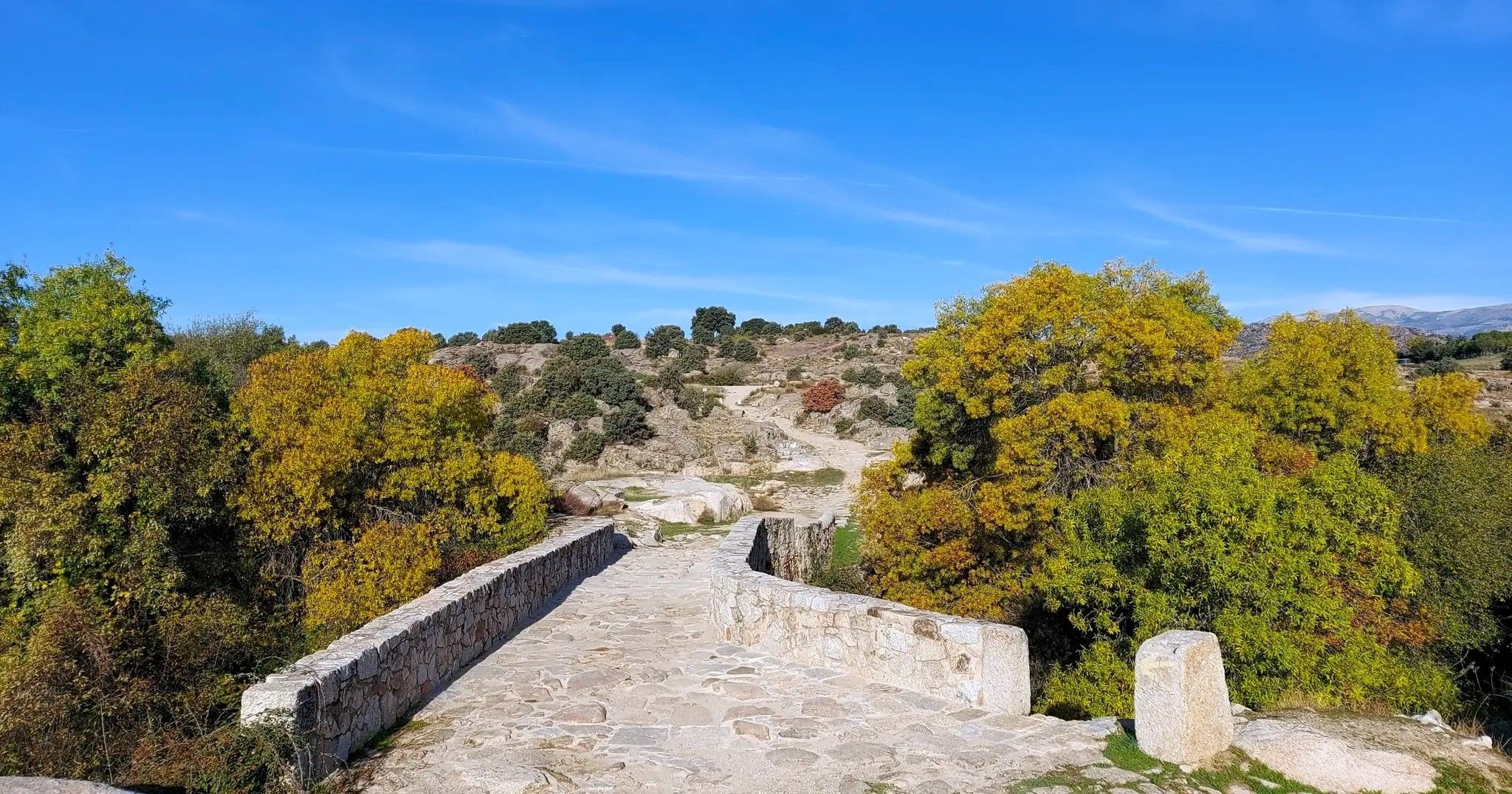
The Royal Path of Madrid – Senda Real (GR 124)
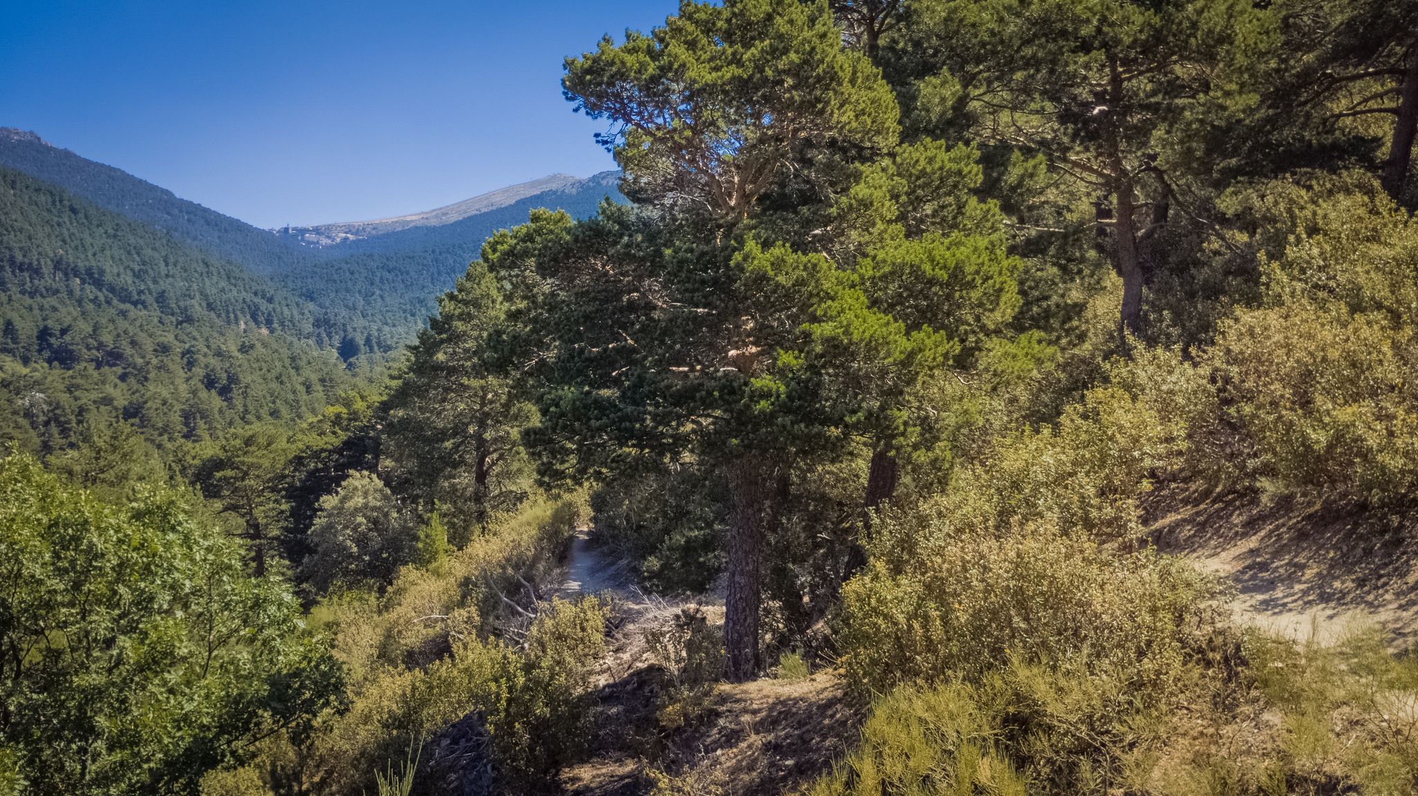
Views and reservoirs — walking in Madrid's Guadarrama Mountains
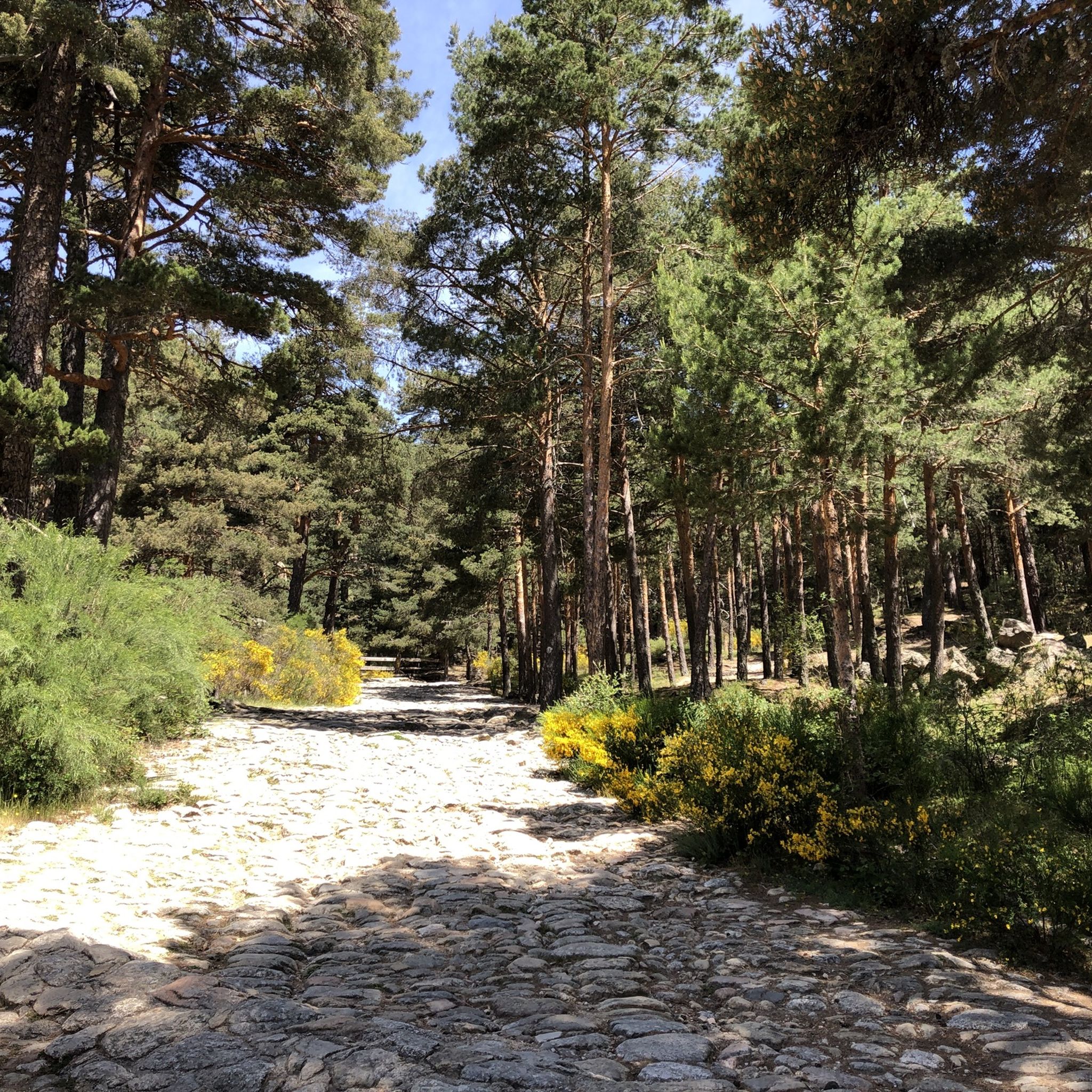
Hiking in Cuenca Alta Del Manzanares
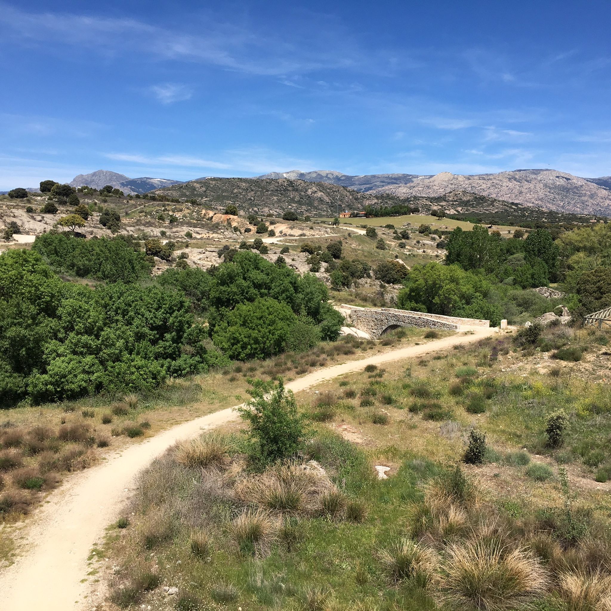
MTB Trails in Cuenca Alta Del Manzanares
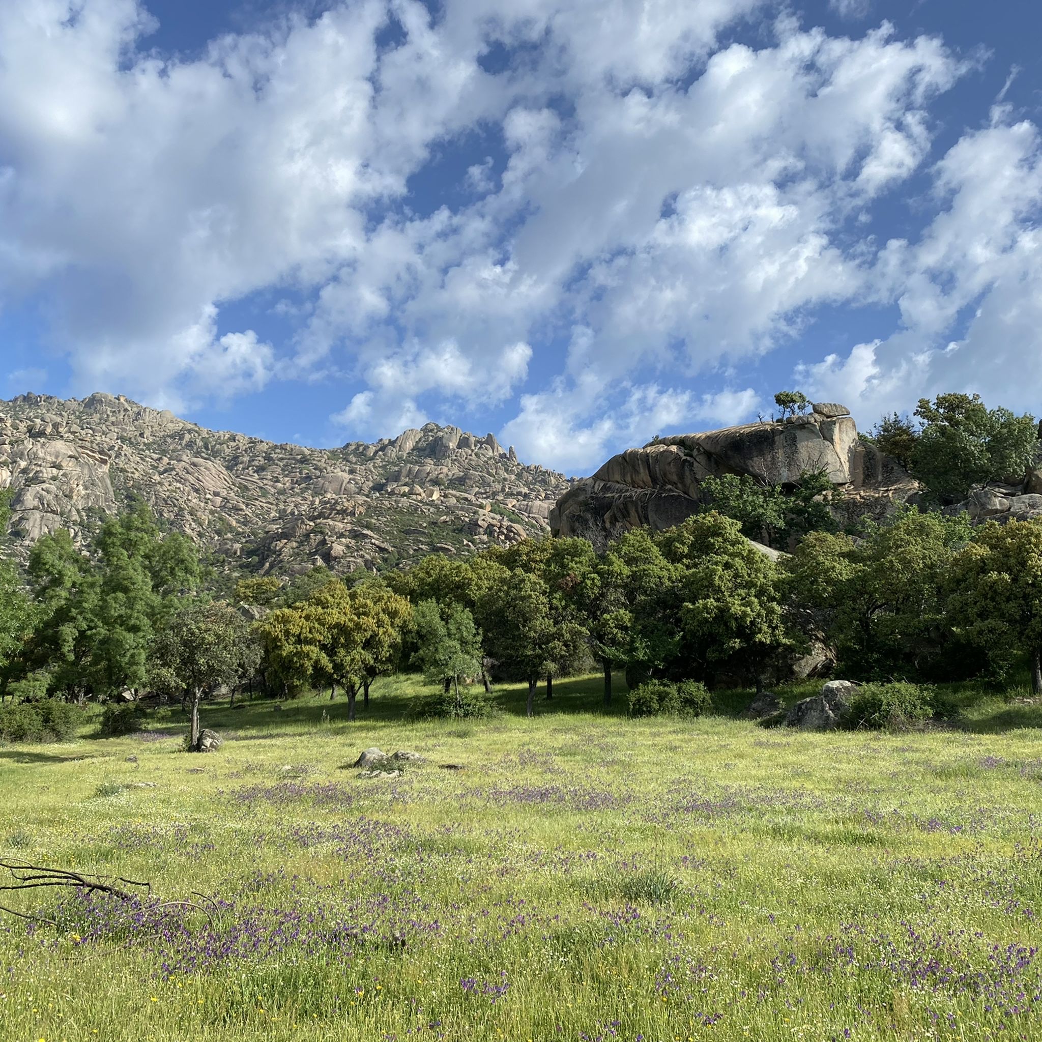
Running Trails in Cuenca Alta Del Manzanares
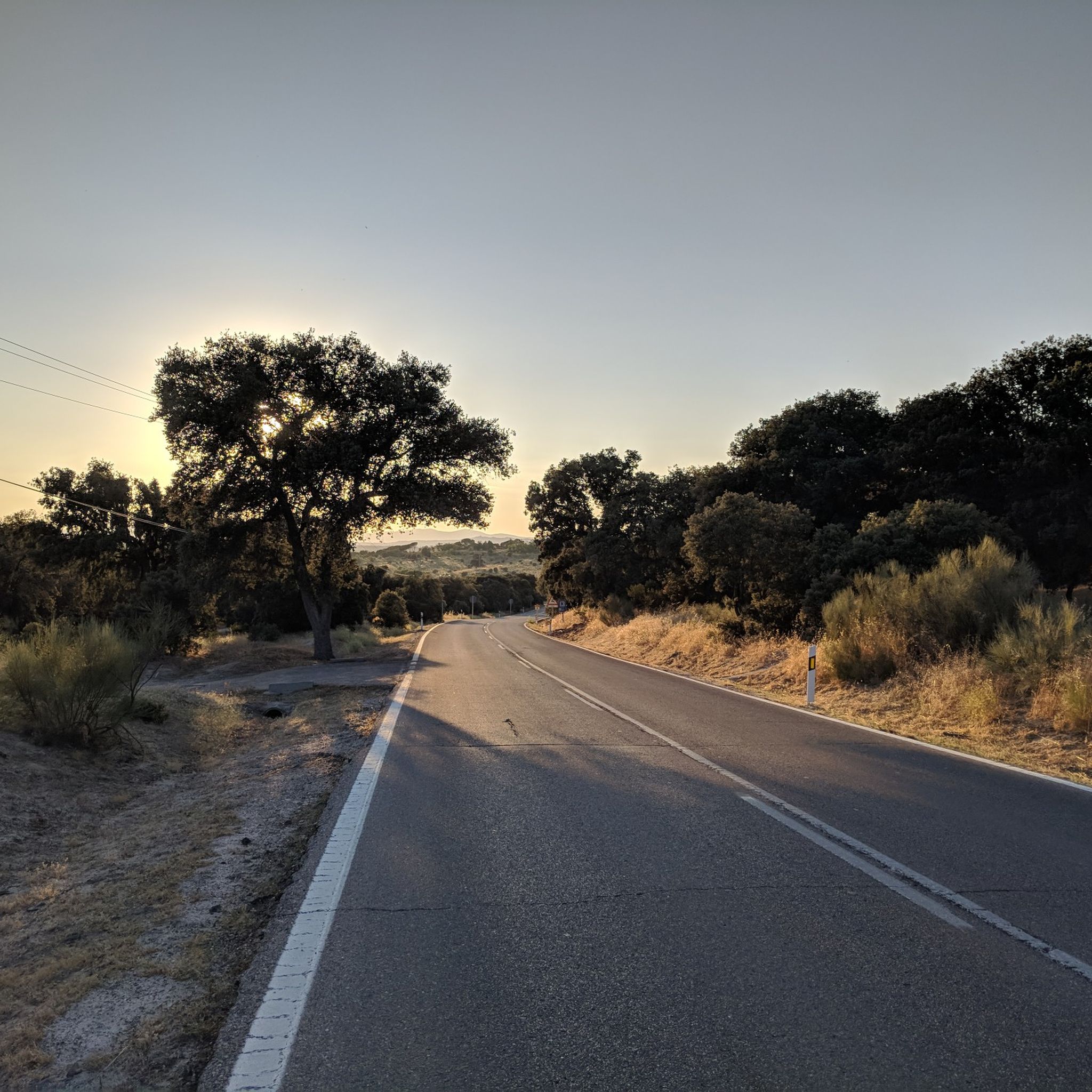
Road Cycling Routes in Cuenca Alta Del Manzanares
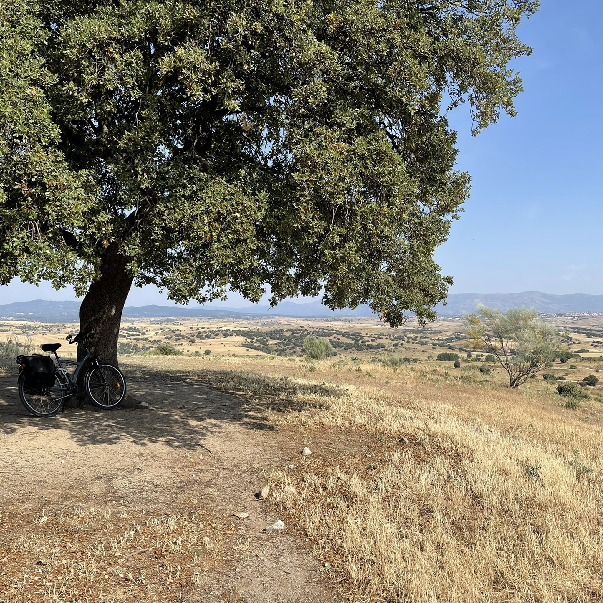
Cycling in Cuenca Alta Del Manzanares
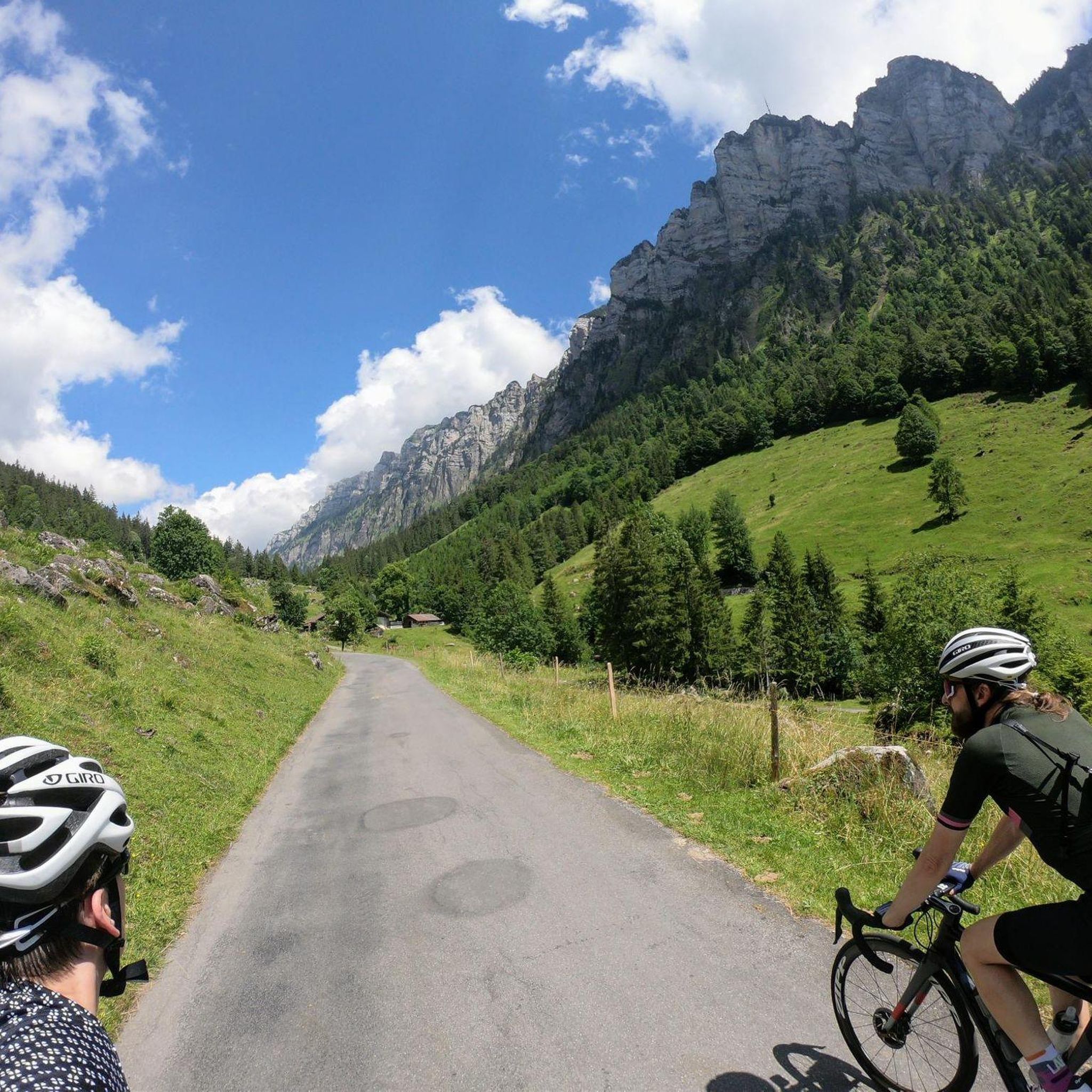
Gravel biking in Cuenca Alta Del Manzanares

Mountain Hikes in Cuenca Alta Del Manzanares
Other adventures in Cuenca Alta Del Manzanares


Tips from the Community

It is located in the Sierra de Guadarrama mountain range, between the municipalities of Miraflores de la Sierra and Rascafría, in the Community of Madrid. From Miraflores de la Sierra (1200m), the route ascends approximately 600m over 10km (average gradient 4–6%), and after reaching the summit, it descends 13km to Rascafría (1150m) with a gradient of 4.5–7%.
6
0

It is halfway up the climb to La Peñota, so it is a good point to stop on days without a storm. On stormy days it may be too exposed to the wind to make a stop at this hill.
0
0

San Blas Viewpoint
0
0

The Republic Highway or Puricelli Highway is a forest track that ascends through the Fuenfría valley (Sierra de Guadarrama valley) and is located in the municipality of Cercedilla, in the northwest of the Community of Madrid (Spain). It begins in the recreational area of Las Dehesas de Cercedilla to the port of Fuenfría. There is the possibility of continuing along it to the base of La Peñota, where this path really ends.
0
0
Forest track in very good condition to go up to Puerto de la Morcuera and avoid the road, except for the last kilometer that exits onto the port road.
0
0

Rest area before going to see the Groundhog Bridge. Be careful with the descent, which is very complicated due to the ruts that have been made over time.
0
0

The pass is at an altitude of 1,796 m and is especially known as a classic for road cycling in the Sierra de Guadarrama and the Vuelta a España.
1
1

The port of La Morcuera is a classic for road cycling in the Sierra de Guadarrama and the Vuelta a España. It is at an altitude of 1,796 meters and connects the towns of Miraflores de la Sierra and Rascafría.
2
0
Frequently Asked Questions
What are some of the most popular mountain passes in Cuenca Alta Del Manzanares?
Visitors frequently enjoy La Morcuera Pass, known as a classic route for road cycling. Other popular choices include King's Pass, which offers stunning views of the Cercedilla valley, and Valdeleganar Pass, which provides a pleasant rest area and trails for exploration.
Are there any mountain passes with significant historical importance in the region?
Yes, the Puerto de la Fuenfría is a historic mountain pass, originally a Roman road from the first century B.C. known as the Vía Antonina. It was also part of the Way of Saint James from Madrid. You can still find visible remains of the Roman road and other historical paths like the 'Carretera de la República' near the Ascent to Puerto de la Fuenfría via Carretera de la República.
Which mountain passes offer the best panoramic views?
For spectacular open scenic views, consider the Puerto de la Fuenfría, which has specific viewpoints like the Mirador de Vicente Aleixandre and Mirador de la Calva. King's Pass also provides excellent views of the Cercedilla valley and the surrounding Sierra de Guadarrama mountains.
What kind of natural landscapes can I expect to see around these passes?
The mountain passes in Cuenca Alta Del Manzanares are situated within the Sierra de Guadarrama, a protected natural area. You can expect to see lush pine forests, diverse biodiversity, and impressive natural beauty, particularly within the Guadarrama National Park. Areas like Puerto de Cotos offer a chance to experience nature in its purest state.
What outdoor activities can I do near the mountain passes in Cuenca Alta Del Manzanares?
The region offers a wide range of outdoor activities. You can enjoy hiking through pine forests, challenging ascents for cyclists, and even skiing at Puerto de Navacerrada during winter. For more specific routes, explore options for gravel biking, cycling, and mountain hikes in the area.
Are there specific hiking trails suitable for families?
Yes, Puerto de Cotos is a popular starting point for numerous hiking trails, including a relatively easy route to the Laguna Grande de Peñalara, which is suitable for families. The area around Puerto de la Fuenfría also features medium-low difficulty hiking trails through pine forests.
Are there challenging routes for experienced hikers or cyclists?
Absolutely. For cyclists, the Puerto de la Fuenfría offers sections with challenging ascents featuring sustained ramps of 12-15%. The Puerto de Navacerrada Ascent is also known as one of the most beautiful and toughest passes in the mountains, popular with experienced cyclists. Hikers can find difficult routes leading to peaks like La Peñota or Siete Picos.
Can I go skiing at any of the mountain passes?
Yes, Puerto de Navacerrada is well-known for its ski resort, which includes various slopes, ski lifts, and equipment rental services. It caters to both national and international visitors during the winter season.
How accessible are the mountain passes by public transport?
Puerto de Cotos is easily accessible by public transport, as it is traversed by the M-604 road and has a railway station on the C-9 line of Cercanías Madrid. Puerto de Navacerrada is also considered one of the most accessible passes due to its developed infrastructure.
What amenities and services are available at the mountain passes?
Puerto de Navacerrada offers several hotels, apartments, hostels, and restaurants, making it a comfortable base. Puerto de Cotos features a recreational area and a refuge. Many passes also have viewpoints and rest areas, such as Valdeleganar Pass.
What is the best time of year to visit the mountain passes in Cuenca Alta Del Manzanares?
The best time to visit depends on your desired activities. For hiking and cycling, spring, summer, and autumn offer pleasant weather. During these seasons, the telesilla (chairlift) to Guarramillas at Puerto de Navacerrada also operates on weekends for tourism. For skiing and winter sports, the winter months are ideal, particularly at Puerto de Navacerrada.
Where can I find more information about Puerto de Navacerrada?
For more detailed information about Puerto de Navacerrada, you can visit its Wikipedia page: Puerto de Navacerrada on Wikipedia.
Where can I find more information about Puerto de Cotos?
You can learn more about Puerto de Cotos by visiting its Wikipedia page: Puerto de Cotos on Wikipedia.
Most popular routes in Cuenca Alta Del Manzanares
Most popular attractions in Cuenca Alta Del Manzanares

Get inspired with the komoot mobile app


Explore more
See even more epic mountain passes by checking out these guides in Cuenca Alta Del Manzanares:
