The best running trails in Cuenca Alta Del Manzanares
4.5
(107)
5,833
runners
292
runs
Jogging routes in Cuenca Alta del Manzanares traverse a diverse landscape within the Sierra de Guadarrama foothills, offering varied topography from mountainous terrain to detritic plains. The region features extensive pine forests, holm oak groves, and wetlands centered around the upper Manzanares River. Characteristic granite formations, particularly in La Pedriza, provide unique geological scenery for runners. This UNESCO Biosphere Reserve offers a well-preserved environment for outdoor activities.
Best jogging routes in Cuenca Alta del Manzanares
- The most popular jogging route…
Last updated: July 7, 2026
5.0
(1)
133
runners
Hard run. Very good fitness required. Sure-footedness, sturdy shoes and alpine experience required.
4.0
(1)
112
runners
Hard run. Very good fitness required. Sure-footedness, sturdy shoes and alpine experience required.

Sign up for free
5.0
(1)
69
runners
9.35km
02:13
580m
580m
Hard run. Very good fitness required. Sure-footedness, sturdy shoes and alpine experience required.
4.2
(5)
21
runners
14.4km
01:52
260m
260m
Hard run. Good fitness required. Sure-footedness, sturdy shoes and alpine experience required.
4.3
(3)
23
runners
14.4km
01:48
230m
230m
Moderate run. Good fitness required. Mostly accessible paths. Some sure footedness required.
Get access to more routes and recommendations from other explorers.
Sign up for free
Already have an account?
Our route recommendations are based on thousands of hikes, rides, and runs completed by other people on komoot.
Start today with a free account
Your next adventure awaits.
Login or Signup
Popular around Cuenca Alta Del Manzanares

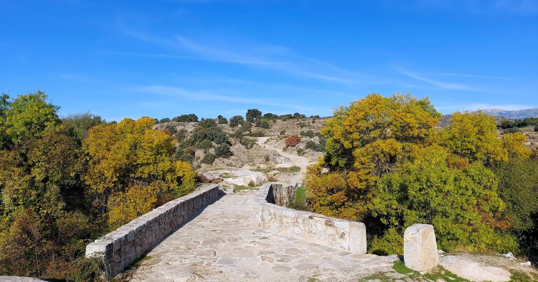
The treasures of Guadarrama – on foot along the GR 10 in Madrid
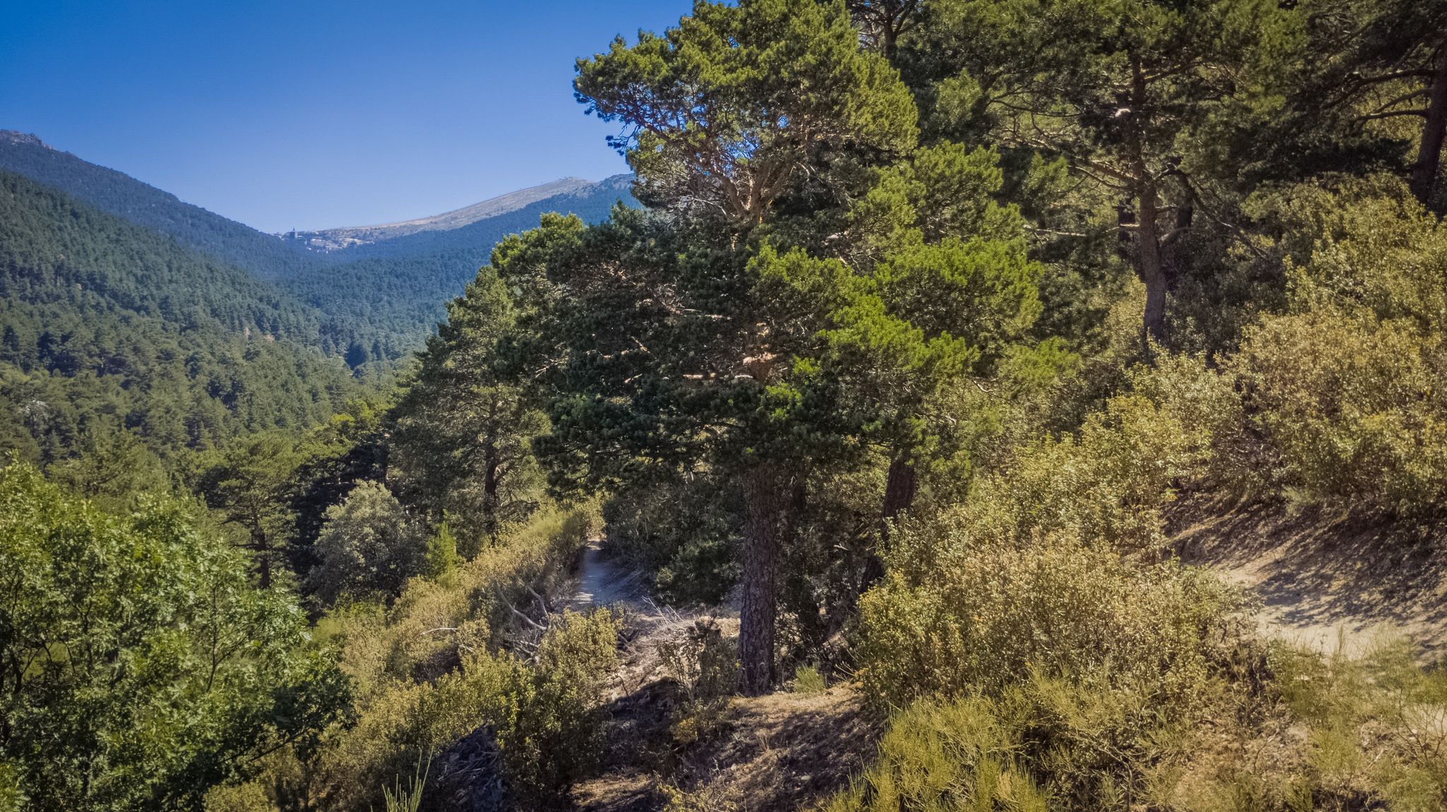
The Royal Path of Madrid – Senda Real (GR 124)
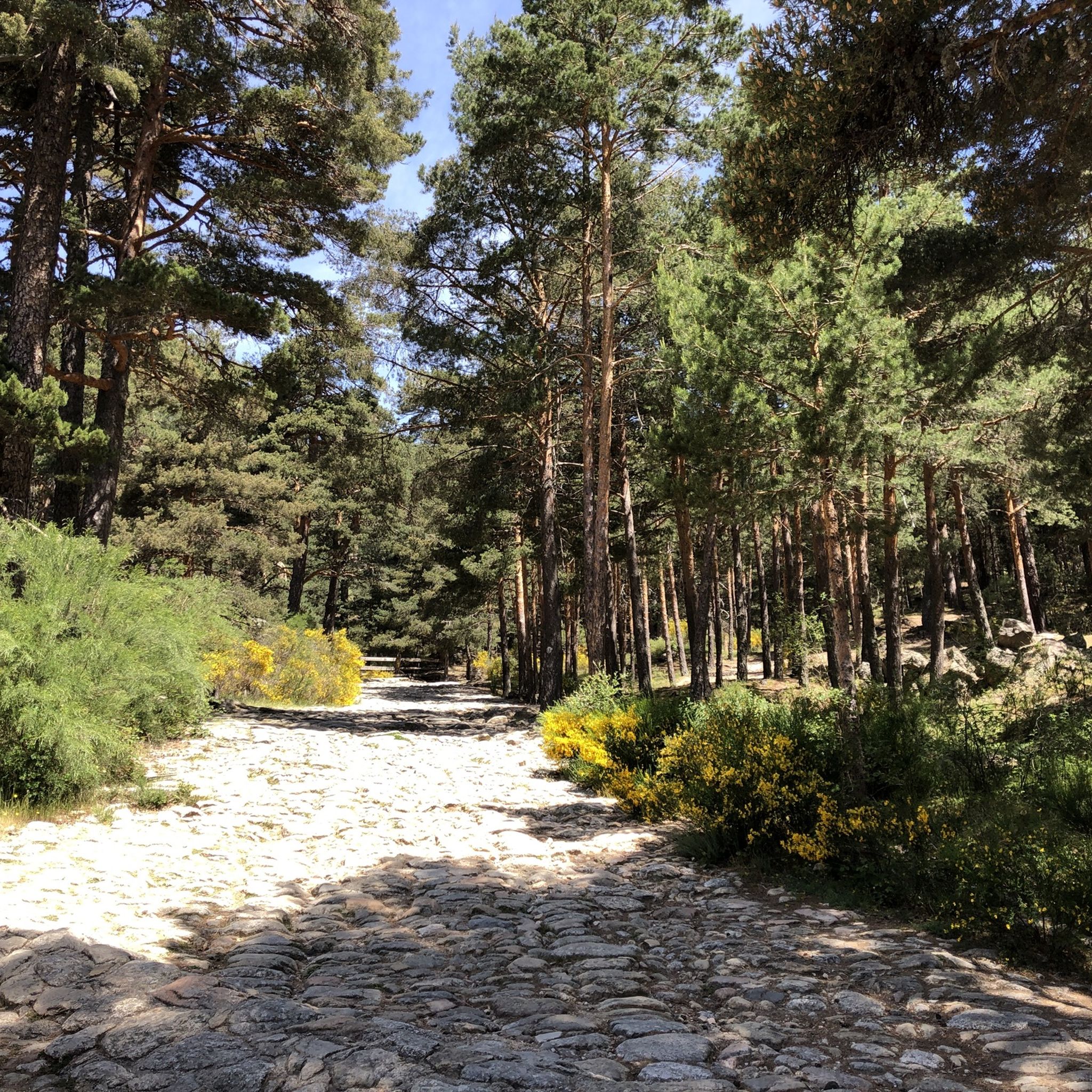
Views and reservoirs — walking in Madrid's Guadarrama Mountains
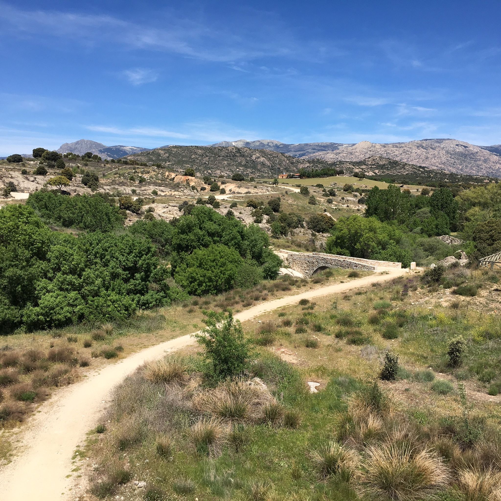
Hiking in Cuenca Alta Del Manzanares
MTB Trails in Cuenca Alta Del Manzanares
Road Cycling Routes in Cuenca Alta Del Manzanares
Cycling in Cuenca Alta Del Manzanares
Gravel biking in Cuenca Alta Del Manzanares

Mountain Hikes in Cuenca Alta Del Manzanares
Other adventures in Cuenca Alta Del Manzanares


Tips from the Community

Strategic point from which excellent landscapes can be seen in the surrounding area.
0
0
High and difficult peak in the Sierra de Madrid, especially with clouds and winds.
0
0

Charca Verde is one of the most iconic and beautiful spots in La Pedriza, in the Sierra de Guadarrama National Park. It is a pool of crystal-clear, emerald-green water, formed by the Manzanares River and surrounded by large granite boulders.
15
0

The Mirador de las Canchas is one of the most outstanding panoramic points in the Sierra de Guadarrama, located in the Barranca Valley, within the municipality of Navacerrada, Madrid. From this viewpoint, located at an altitude of approximately 1,754 meters, you can enjoy stunning views of iconic mountains such as La Maliciosa and La Bola del Mundo, as well as the extensive pine forest in the valley and, on clear days, even the city of Madrid in the distance. The route to reach the viewpoint is of moderate difficulty and begins at the La Barranca parking lot. The route, approximately 9 kilometers round trip, runs mainly along a forest track with a gradient of approximately 350 meters, making it accessible to most hikers. During the ascent, you will cross lush pine forests and pass near landmarks such as the Fuente de la Campanilla and the remains of the old Guadarrama Sanatorium.
0
0
Just seeing the colors is worth it. Swimming is prohibited.
0
1
A crossing and meeting place for many hikers heading in different directions.
0
1
It's hard to get there, but the views are so cool.
0
1
The Ortiz Trail is a beautiful route in Navacerrada, ideal for enjoying nature and spectacular views. It's a perfect route to take with the family or with people who aren't used to walking far.
5
0
Frequently Asked Questions
How many running routes are available in Cuenca Alta del Manzanares?
Cuenca Alta del Manzanares offers a vast network of over 300 running routes. These include a variety of difficulties: approximately 15 easy routes, 127 moderate routes, and 160 difficult mountain trails, ensuring options for all fitness levels.
Are there any family-friendly jogging routes in Cuenca Alta del Manzanares?
Yes, the park features several easier paths suitable for families. While specific family-designated routes aren't listed, the 15 easy-rated routes provide gentler terrain. Look for trails along the Manzanares River or in less mountainous areas for a more relaxed experience.
Can I bring my dog on the running trails in Cuenca Alta del Manzanares?
As a Regional Park and UNESCO Biosphere Reserve, Cuenca Alta del Manzanares generally welcomes dogs, but they must be kept on a leash to protect wildlife and ensure the safety of other visitors. Always check local signage for any specific restrictions on certain trails or protected areas.
Are there many circular running trails in Cuenca Alta del Manzanares?
Yes, the region offers several excellent circular running routes. For example, the Mirador de Las Canchas por Camino Ortiz provides panoramic views, and the Yelmo de la Pedriza y el Tolmo — circular desde Canto Cochino explores the unique granite formations of La Pedriza. Another option is the Colada de las Huelgas del Río Manzanares Loop.
What natural landmarks or viewpoints can I expect to see while running?
The park is rich in natural beauty. You can encounter stunning granite formations, extensive pine and holm oak forests, and the Manzanares River. Notable viewpoints include Valdeliganar Viewpoint and Las Canchas Viewpoint, offering panoramic vistas. The Santillana Reservoir also provides picturesque waterside scenery.
Are there running routes that feature water elements like rivers or waterfalls?
Absolutely. The park is centered around the upper course of the Manzanares River, offering numerous routes with waterside views. You'll find humid zones, significant reservoirs like Santillana, and even waterfalls and river sources that enhance the natural beauty of certain trails.
When is the best time of year to go jogging in Cuenca Alta del Manzanares?
Spring and autumn are generally ideal for jogging in Cuenca Alta del Manzanares, offering pleasant temperatures and vibrant scenery. Summer mornings and evenings can also be enjoyable, though midday can be hot. Winter provides a unique experience, especially on lower elevation trails, but higher mountain paths may require appropriate gear for snow and ice.
How accessible are the running trails by public transport from Madrid?
Cuenca Alta del Manzanares is quite accessible, located less than an hour's drive from Madrid. While specific public transport routes to trailheads vary, several bus lines connect Madrid with towns bordering the park, such as Manzanares el Real, making it a convenient escape for city dwellers.
What do other runners enjoy most about jogging in Cuenca Alta del Manzanares?
The area is highly rated by the komoot community, with an average score of 4.4 stars from nearly 100 reviews. Runners often praise the diverse landscapes, from challenging mountain terrain to serene riverside paths, and the well-preserved natural environment of this UNESCO Biosphere Reserve.
Are there any routes that offer views of the unique granite formations?
Yes, the granite formations are a prominent feature, especially in areas like La Pedriza. The Yelmo de la Pedriza y el Tolmo — circular desde Canto Cochino route is an excellent choice to experience these unique geological sights.
Are there any particularly challenging trail running options?
For those seeking a challenge, the park offers numerous difficult routes. A prime example is La Barranca-La Maliciosa - trail run in the Guadarrama National Park (PR-M 26), which features a significant ascent and is popular among experienced trail runners.
Most popular routes in Cuenca Alta Del Manzanares
Most popular attractions in Cuenca Alta Del Manzanares

Get inspired with the komoot mobile app


Explore more
Browse the best Running Trails & Routes in other regions.
