The best walks and hikes around Gratreuil
4.6
(11)
44
hikers
1
hike
Hiking around Gratreuil offers opportunities to explore natural scenery and diverse landscapes within the region. The area is characterized by rolling hills, green spaces, and woodlands, providing varied terrain for outdoor activities. While specific features like limestone cliffs or old railway lines are found on individual routes, the broader environment supports nature walks and forest hikes. The region's natural setting makes it suitable for those seeking tranquil valleys and rural paths.
Best hiking trails around Gratreuil
- The most popular hiking…
Last updated: June 24, 2026
4.0
(1)
13
hikers
10.3km
02:42
80m
80m
Moderate hike. Good fitness required. Easily-accessible paths. Suitable for all skill levels.
4.8
(4)
8
hikers
13.1km
03:25
100m
100m
Moderate hike. Good fitness required. Easily-accessible paths. Suitable for all skill levels.

Sign up for free
5.0
(1)
7
hikers
10.3km
02:44
100m
100m
Moderate hike. Good fitness required. Easily-accessible paths. Suitable for all skill levels.
5.0
(1)
6
hikers
11.9km
03:12
140m
140m
Moderate hike. Good fitness required. Easily-accessible paths. Suitable for all skill levels.
2
hikers
14.7km
03:58
200m
200m
Moderate hike. Good fitness required. Easily-accessible paths. Suitable for all skill levels.
Our route recommendations are based on thousands of hikes, rides, and runs completed by other people on komoot.
Start today with a free account
Your next adventure awaits.
Login or Signup
Popular around Gratreuil


Tips from the Community


La Main de Massiges is an exceptional place: It is a living archaeological site that you can visit and explore for free. It is also an extremely touching place of remarkable memory. These are German and French trench lines from the First World War. Excavations by archaeologists still take place, and bodies of soldiers from both countries are raised from the ground and returned to their families every year more than 100 years after their disappearance. By walking among these trenches you will relive the daily life of soldiers and their very difficult living conditions. The Suippes military camp happens to be very close, and shots of military training cannons echo in the silence of the place giving an even more poignant character to this extraordinary visit.
2
0
Frequently Asked Questions
How many hiking trails are available around Gratreuil?
There are 5 hiking routes detailed in this guide for the Gratreuil area, all rated as moderate difficulty. These trails offer a variety of experiences through the region's natural scenery.
What kind of landscapes can I expect to see while hiking near Gratreuil?
The region around Gratreuil features diverse landscapes, including rolling hills, tranquil valleys, and shaded woodlands. You'll find routes that traverse rural paths and green spaces, offering a natural setting for your outdoor activities. For example, the High Limestone Cliffs loop from Autry offers elevated sections with views over limestone formations.
Are there any historical sites or landmarks to explore on these hikes?
Yes, some routes incorporate historical elements. For instance, the La Forge – Old Railway Lines loop from Montcheutin follows historical railway lines. Additionally, the Hand of Massiges loop from Massiges leads through historical landscapes. You can also visit the Hand of Massiges viewpoint as a nearby attraction.
What do other hikers enjoy most about the trails in Gratreuil?
The hiking experiences around Gratreuil are highly rated by the komoot community, with an average score of 4.5 stars from over 10 reviews. Hikers often appreciate the varied terrain, the natural scenery, and the opportunity to explore both woodlands and rural paths.
Are there any circular walks available?
Yes, all the routes listed in this guide are circular walks, allowing you to start and end at the same point. Examples include the Very nice loop from Autry and the Hiking loop from Montcheutin.
What is the typical difficulty level of hikes in this area?
All 5 routes featured in this guide for Gratreuil are rated as moderate difficulty. This means they are generally suitable for hikers with a reasonable level of fitness and may include some ascents and descents.
Are there any attractions or points of interest near the hiking trails?
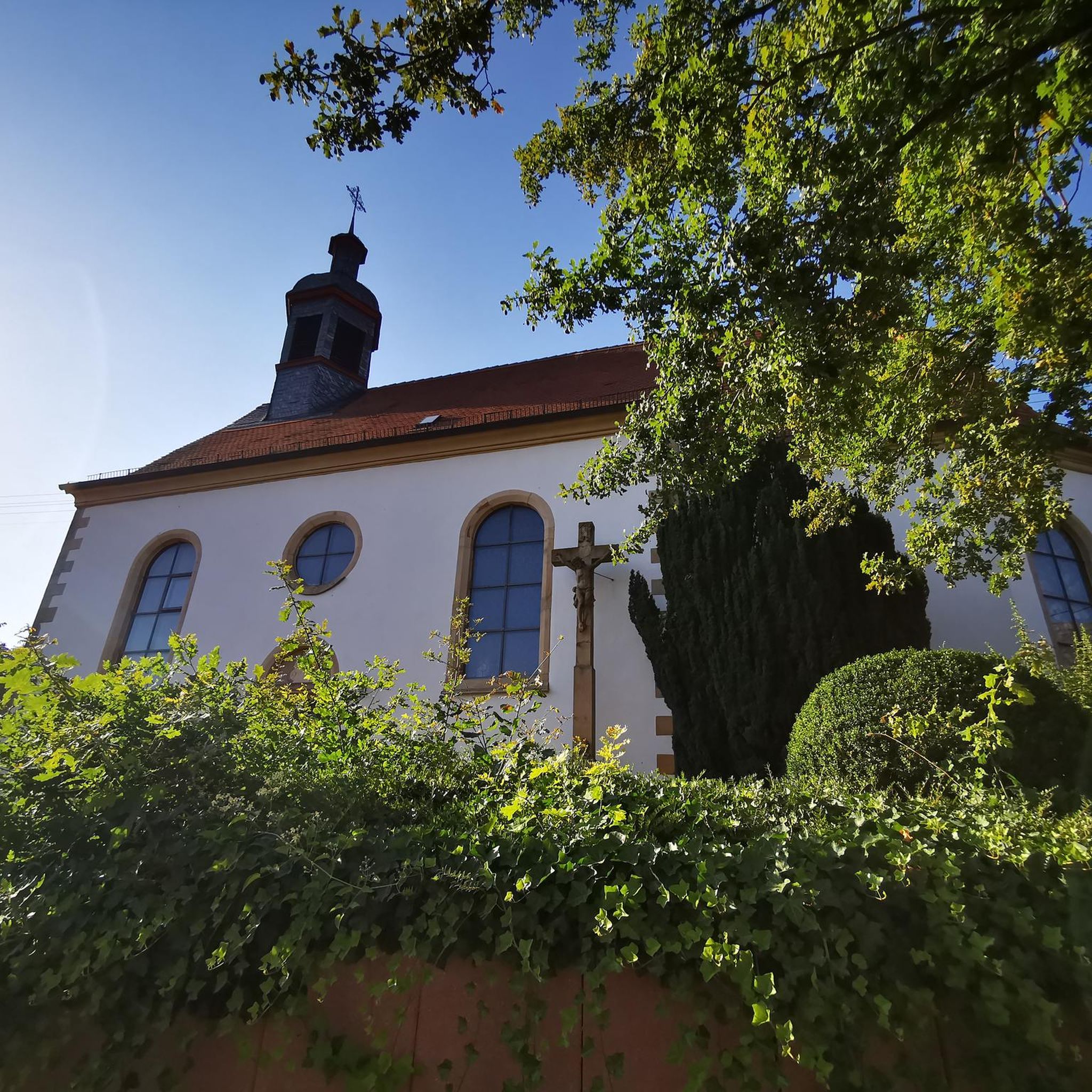
Beyond the trails themselves, you can explore several points of interest. These include the historical site of Sommepy Tahure, the Harlem Hellfighters Memorial, and the Saint Martin Church of Manre.
What is the longest hiking route available in the guide?
The longest route in this guide is the Hand of Massiges loop from Massiges, which spans 15.0 km (9.3 miles) and typically takes about 4 hours and 3 minutes to complete.
What is the shortest hiking route available in the guide?
The shortest route in this guide is the La Forge – Old Railway Lines loop from Montcheutin, covering 10.3 km (6.4 miles) and usually taking around 2 hours and 42 minutes.
Is the area suitable for nature and wildlife observation?
Yes, the region around Gratreuil is known for its natural scenery and wildlife. The diverse landscapes, including woodlands and green spaces, provide opportunities to observe local flora and fauna while hiking.
Are there any routes that offer elevated views?
Yes, the High Limestone Cliffs loop from Autry features elevated sections that provide scenic views over the distinctive limestone formations in the area.
Most popular routes around Gratreuil
Most popular attractions around Gratreuil

Get inspired with the komoot mobile app


Explore more
Browse the best Hikes in other regions.
