The best road cycling routes around Gratreuil
5.0
(2)
37
riders
12
rides
Road cycling routes around Gratreuil traverse a landscape characterized by rolling hills and river valleys, offering varied terrain for cyclists. The region features a network of roads that follow waterways like the Canal des Ardennes and pass through areas with historical châteaux. Elevation gains on routes indicate a consistently undulating profile, providing a moderate challenge for road cyclists. The area's natural features include streams and open countryside, suitable for extended rides.
Best road cycling routes around Gratreuil
- The most popular…
Last updated: July 9, 2026
7
riders
49.1km
02:06
380m
380m
Moderate road ride. Good fitness required. Mostly well-paved surfaces and easy to ride.
5
riders
70.5km
03:01
520m
520m
Moderate road ride. Good fitness required. Mostly well-paved surfaces and easy to ride.

Sign up for free
12
riders
71.4km
03:35
310m
310m
Moderate road ride. Good fitness required. Some segments of this route may be unpaved and difficult to ride.
3
riders
59.6km
02:34
420m
420m
Moderate road ride. Good fitness required. Mostly well-paved surfaces and easy to ride.
3
riders
49.1km
02:09
370m
370m
Moderate road ride. Good fitness required. Mostly well-paved surfaces and easy to ride.
Get access to more routes and recommendations from other explorers.
Sign up for free
Already have an account?
Our route recommendations are based on thousands of hikes, rides, and runs completed by other people on komoot.
Start today with a free account
Your next adventure awaits.
Login or Signup
Popular around Gratreuil


Tips from the Community

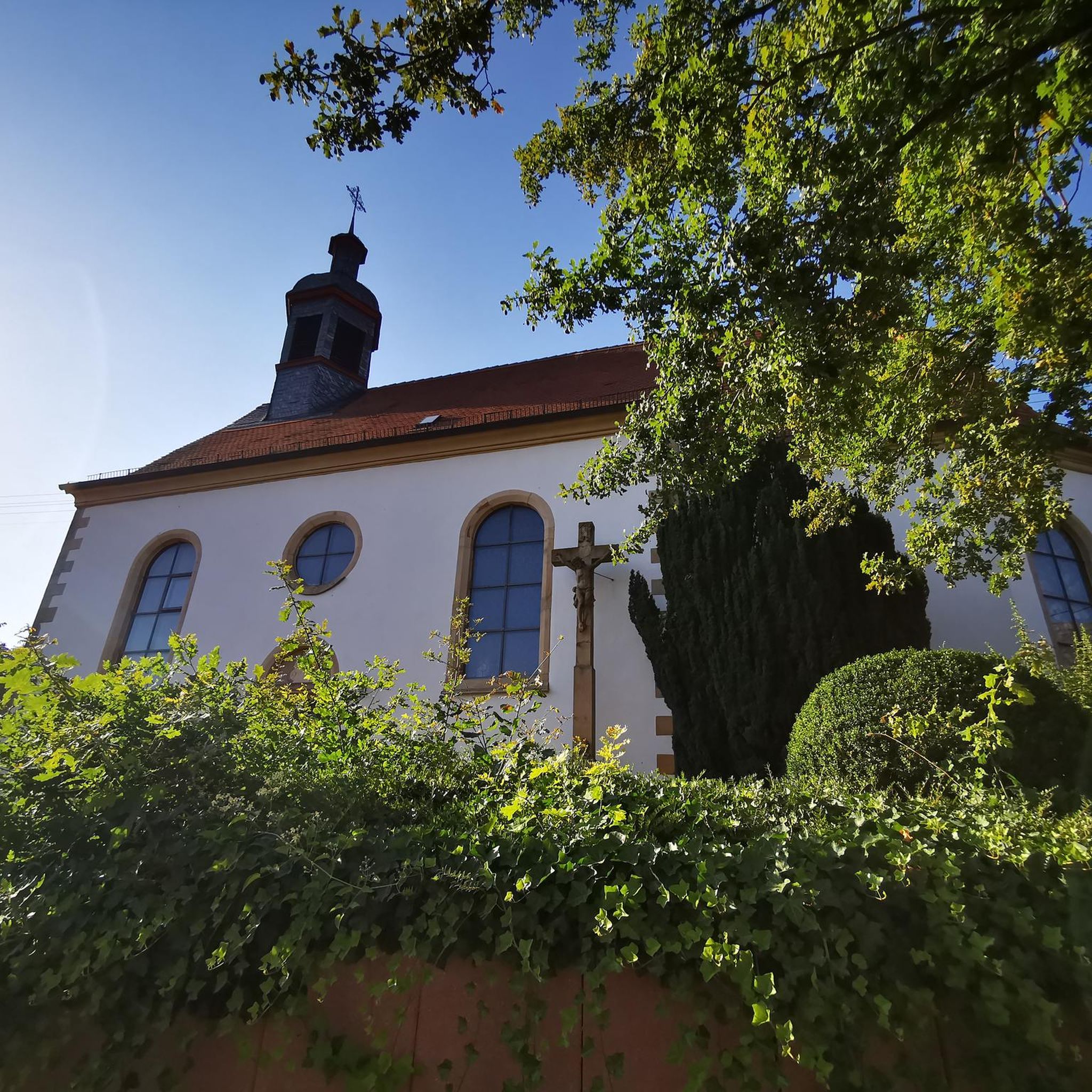
This chapel, located far from the village of Givry, was consecrated in 1960. The original Gothic church was destroyed in World War I and rebuilt in 1938 according to plans by architects Malard and Broux. However, it was destroyed again in World War II in 1940 and rebuilt from 1959 onwards according to the latest plans. The actual church is surrounded by an L-shaped gallery, and in front of it is a rest area located above the field path, offering a beautiful panoramic view. Unfortunately, there is no shade here.
0
0


Located along the greenway, a picnic table and bike storage are available.
0
0

Good bivouac spot
0
0

This section of the South-Ardennes greenway offers pretty passages while following the meanders of the canal. Numerous locks litter the route, punctuating your progress.
2
0
The commune of Montgon has a certain number of locks on the portion of the canal which crosses it. Number 14, bordered by the greenway, offers a nice setting for taking a little break.
2
0

The Grand church is worth a stop. It offers a curious contrast between the massive tower of its facade and its delicate bell tower.
1
0
Frequently Asked Questions
How many road cycling routes are available around Gratreuil?
There are over 10 road cycling routes around Gratreuil, offering a variety of distances and challenges. The region's landscape of rolling hills and river valleys provides diverse terrain for cyclists.
What is the general difficulty level of road cycling routes in Gratreuil?
Most road cycling routes in Gratreuil are rated as moderate, featuring consistently undulating profiles with significant elevation gains. There is one easier route, but no difficult routes are listed, making the area suitable for intermediate cyclists looking for a good workout.
Are there any beginner-friendly road cycling routes in Gratreuil?
Yes, while most routes are moderate, there is at least one easier route available. The region's terrain includes flatter sections along waterways like the Canal des Ardennes, which can be more accessible for beginners.
What kind of scenery can I expect on road cycling routes around Gratreuil?
Road cycling routes in Gratreuil traverse a landscape of rolling hills, picturesque river valleys, and open countryside. You'll also pass by historical landmarks such as the Grandpré Church and Château de Grandpré, offering a blend of natural beauty and cultural interest.
Are there any circular road cycling routes in the Gratreuil area?
Yes, all the featured road cycling routes around Gratreuil are circular loops. For example, the Canal des Ardennes – Montgon lock loop from Challerange is a popular option, as is the Grandpré Church – Château de Grandpré loop from Manre.
What are some notable landmarks or attractions to see along the road cycling routes?
Many routes offer views of historical landmarks. For instance, the Grandpré Church – Château de Grandpré loop from Manre passes by the Grandpré Church and Château de Grandpré. Other nearby attractions include the Sommepy Tahure and the Hand of Massiges viewpoint.
What is the typical length and duration of road cycling routes in Gratreuil?
Routes vary in length, with many falling between 30 to 45 miles (49 to 70 km). Durations typically range from 2 to 3 hours, though longer options like the Path along the stream – Château de Grandpré loop from Monthois can extend to over 60 miles (100 km) and take around 4.5 hours.
What do other road cyclists enjoy most about road cycling in Gratreuil?
The komoot community highly rates the road cycling in Gratreuil, with an average score of 5.0 stars. Cyclists often praise the varied terrain, which includes both challenging climbs and scenic sections along waterways, as well as the historical landmarks encountered along the way.
Are there options for family road cycling in Gratreuil?
While many routes feature rolling hills, sections along the Canal des Ardennes offer flatter terrain that can be more suitable for families or those seeking a less strenuous ride. It's advisable to check the elevation profile of specific routes for suitability.
What is the best season for road biking in Gratreuil?
The region's climate generally makes spring through autumn ideal for road cycling, when temperatures are mild and the natural scenery is at its best. Winter cycling might be possible but could involve colder temperatures and potentially wet conditions.
Are there any cafes or pubs near the road bike trails in Gratreuil?
The routes often pass through or near small villages and towns, such as Manre and Challerange, where you can typically find local establishments for refreshments. Planning your route with potential stops in mind is recommended.
Are there challenging road cycling routes for experienced riders in Gratreuil?
Yes, while most routes are moderate, the consistent undulating profile and significant elevation gains, such as the 1700 feet (520 meters) on the Canal des Ardennes – Montgon lock loop from Challerange, provide a good challenge for experienced road cyclists.
Most popular routes around Gratreuil
Most popular attractions around Gratreuil

Get inspired with the komoot mobile app


Explore more
Browse the best Road cycling routes in other regions.
