The 6 Most Amazing Peaks around Hochstadt (Pfalz)
Best mountain peaks around Hochstadt (Pfalz) are found in the surrounding Südliche Weinstraße region, which features elevated points and hills. While Hochstadt (Pfalz) itself has a low average elevation, the nearby landscape offers prominent features for exploration. These elevated areas provide recreational opportunities, historical significance, and scenic views. The region is characterized by its natural landscape and cultural landmarks.
Best mountain peaks around Hochstadt (Pfalz)
- The most popular mountain peaks is Ludwig Tower, a viewpoint that stands at 605…
Last updated: June 29, 2026
Ludwig Tower
Highlight • Viewpoint
Translated by Google •
Tip by

Wetterkreuz on the Teufelsberg
Highlight • Monument
Translated by Google •
Tip by

Sign up now to discover places like this
Get recommendations on the best single tracks, peaks, & plenty of other exciting outdoor places.
Sign up for free
Kalmit climb from Maikammer
Highlight (Segment) • Climb
Translated by Google •
Tip by

Blättersberg summit (618 m)
Highlight • Summit
Translated by Google •
Tip by

Breitenberg Summit
Highlight • Summit
Translated by Google •
Tip by

Sign up for free to discover even more peaks around Hochstadt (Pfalz).
Sign up for free
Already have an account?
Start today with a free account
Your next adventure awaits.
Login or Signup
Tips from the Community

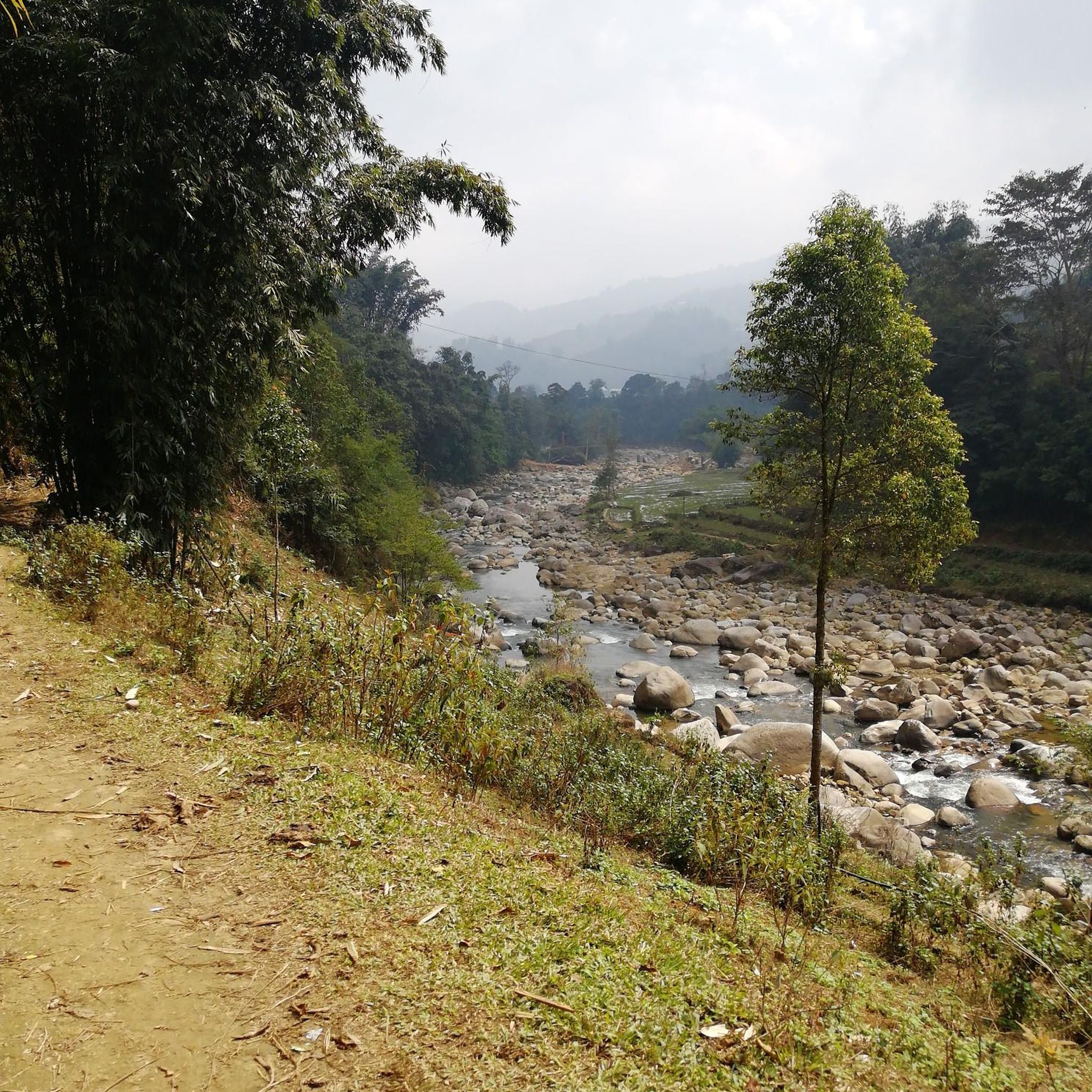
A very beautiful path leads past the stone pyramid, which marks the highest point of the Blätterberg. But there are other markings here too. Ancient boundary stones and rocks with boundary marks can be found on the path. The cross stands for the Hochstift Speyer.
1
0

"The weather cross, consecrated in 1909 by Bishop Konrad von Busch (1847-1910) of Speyer, was created by stonemason Johann Minges and is the highest weather cross on the Haardt mountain range. Locally, it is also known as the Bishop's Cross." Source (quoted verbatim): https://www.kuladig.de/Objektansicht/KLD-272330 The following text (difficult to read) is inscribed on the base of the cross: "Behold the Cross of the Lord! // Flee, you hostile forces! // The Lion of Judah. // The Root of David has triumphed! // Alleluia, Alleluia! // (St. Anthony of Padua)" A vineyard (large vineyard area) in the Southern Palatinate is also called "Bischofskreuz" (Bishop's Cross).
2
0

Climb to the highest mountain in the Palatinate Forest. Nice to drive, nice views and restaurants at the top.
3
0

Well then have fun when this member sets a highlight on every unspectacular summit! …Where’s the point of a highlight??
0
2

Beautiful path over the Blatterberg, which is only marked by an inconspicuous stone pyramid
1
0

A rustic path leads over the Blatterberg. A small stone pyramid marks the highest point (618m).
5
0

The way to Teufelsberg is marked with a weather cross. High up on the summit is a large stone cross, the so-called Wetterkreuz. From the summit you have an impressive view in the direction of the Rhine and you can still see the Anna Chapel at your feet. You almost have a nice feeling of happiness at the summit here.
2
0

Completely unspectacular summit. No view because it's wooded, but a peak is a peak 😉
0
0
Frequently Asked Questions
What are some of the most popular elevated points and peaks around Hochstadt (Pfalz)?
While Hochstadt (Pfalz) itself has a low elevation, the surrounding Südliche Weinstraße region offers several popular elevated points. These include Ludwig Tower, a viewpoint at 605 meters above sea level, and the Wetterkreuz on the Teufelsberg, which offers views of the Rhine valley. Another well-known spot is the challenging Kalmit climb from Maikammer, leading to the highest peak of the Haardt.
Where can I find the best viewpoints in the region around Hochstadt (Pfalz)?
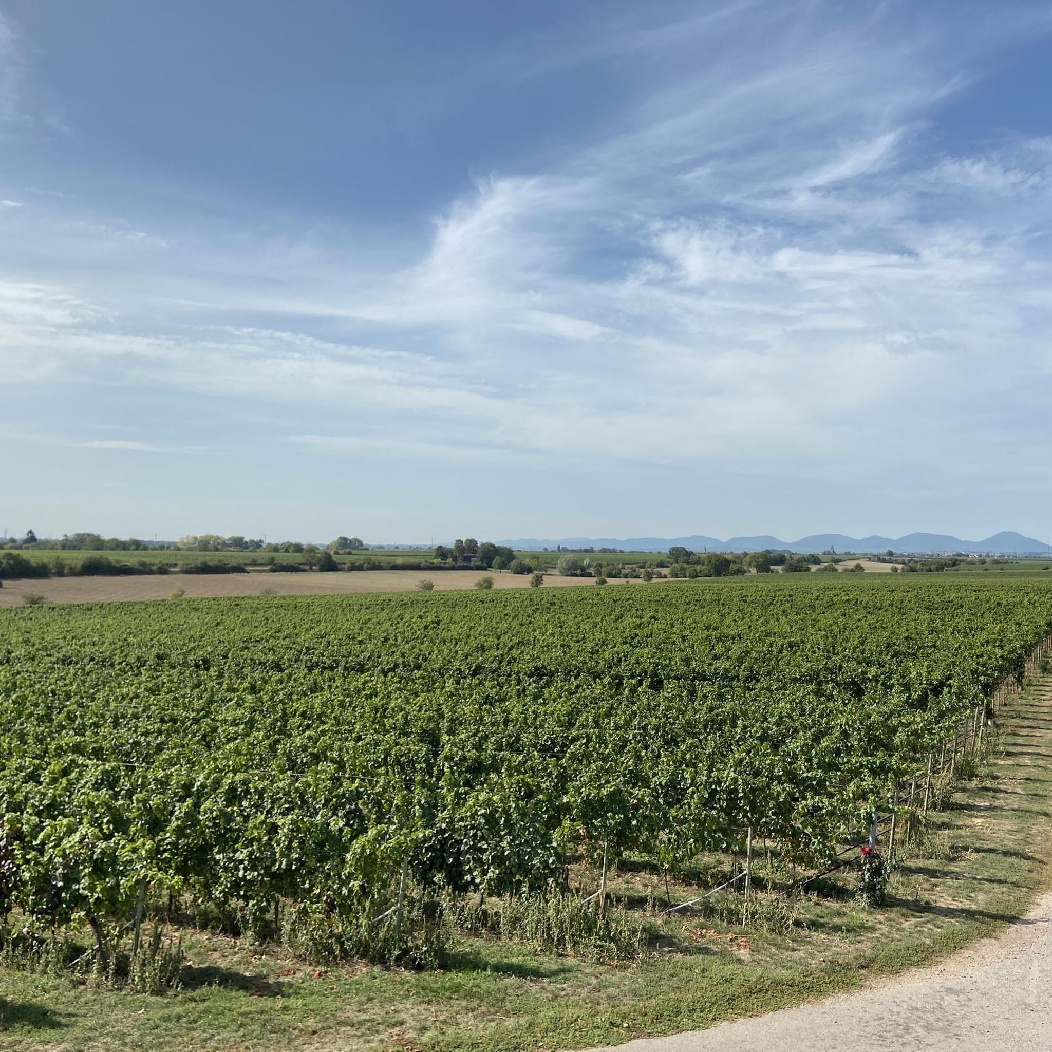
For panoramic views, consider visiting Ludwig Tower, which provides vistas to the east and north-west. The Wetterkreuz on the Teufelsberg also offers an exciting view of the Rhine valley. Additionally, the Kalmit climb from Maikammer rewards hikers with views over the entire Rhine plain.
Are there any historical sites among the elevated points near Hochstadt (Pfalz)?
Yes, the region boasts several elevated points with historical significance. The Ludwig Tower, built in 1889, is a historical watchtower. Further afield, the Rietburg features castle ruins, and Hambach Castle, perched on a hill, is a significant historical site known as the birthplace of German democracy. The Edenkoben Victory and Peace Monument is another notable historical landmark.
What is the difficulty level of the climbs to these elevated points?
The difficulty varies. Some climbs, like the Kalmit climb from Maikammer, are considered challenging, covering 5 km to the summit. Other points, such as the path to Blättersberg summit, are described as intermediate forest paths. It's advisable to check individual highlight details for specific difficulty ratings.
Are there family-friendly options for exploring the elevated points?
While specific 'family-friendly' categories aren't always listed for every peak, many of the trails leading to these elevated points are suitable for families, especially those looking for moderate hikes. Locations like the Rietburg, with its mountain restaurant, can be a good destination for a family outing. For easier routes, consider exploring the general hiking trails in the Südliche Weinstraße region.
What outdoor activities can I do near the mountain peaks around Hochstadt (Pfalz)?
The region offers a variety of outdoor activities. You can find numerous routes for cycling, gravel biking, and running. For example, there are challenging gravel biking routes like the 'Walsheim Vineyards – Ludwig Tower on the Eschkopf loop' and various cycling tours such as the 'Queich Cycle Path'. Running enthusiasts can explore trails like the 'Queichtal Meadows loop'. You can find more details on these activities in the Gravel biking around Hochstadt (Pfalz), Cycling around Hochstadt (Pfalz), and Running Trails around Hochstadt (Pfalz) guides.
Are there places to eat or rest near the elevated points?
Yes, some elevated points offer amenities. The Rietburg, for instance, features a mountain restaurant, making it a popular stop for hikers. The Edenkoben Victory and Peace Monument is also an ideal starting point for hikes and has a restaurant nearby. For other areas, it's recommended to check local maps or plan your route to include stops in nearby villages.
What kind of natural features can I expect to see on these elevated points?
The elevated points are often characterized by their natural surroundings, including dense forests, especially in the Palatinate Forest. You might encounter sandstone outcrops, areas with blueberry bushes, and natural monuments. While some summits like Breitenberg Summit might be wooded with no direct view, others like Ludwig Tower offer expansive views over the landscape.
When is the best time to visit the mountain peaks around Hochstadt (Pfalz)?
The region is generally enjoyable for outdoor activities throughout much of the year. Spring and autumn offer pleasant temperatures for hiking and cycling, with vibrant foliage in autumn. Summer is also popular, though some trails can be busy on weekends. Winter hiking is possible, but it's always advisable to check local weather conditions before heading out.
Are there any less-known elevated points or hidden gems worth exploring?
While popular spots like Ludwig Tower and Kalmit are well-trafficked, exploring the broader Südliche Weinstraße region can reveal quieter elevated points. The Blättersberg summit (618 m), for example, offers a rustic path and a stone pyramid marking its highest point, providing a more secluded experience, though the summit itself is wooded without a direct view.
What do visitors particularly enjoy about the elevated points in this region?
Visitors frequently praise the rewarding views, especially after a strenuous climb, such as those from the Wetterkreuz or the Kalmit. The historical significance of sites like Ludwig Tower and the overall natural beauty of the Palatinate Forest are also highly appreciated. The komoot community has shared nearly 2000 upvotes and over 1100 photos, highlighting the region's appeal for exploration and scenic beauty.
Most popular routes around Hochstadt (Pfalz)
Most popular attractions around Hochstadt (Pfalz)

Get inspired with the komoot mobile app


Explore more
See even more amazing summits around Hochstadt (Pfalz) with these guides:
