The best mountain hikes around Hochstadt (Pfalz)
4.7
(3)
16
hikers
4
hikes
Mountaineering around Hochstadt (Pfalz) offers access to the diverse landscapes of the Palatinate Forest and the Südliche Weinstraße. While not featuring high-altitude peaks, the region is characterized by its distinctive red sandstone formations, rolling vineyards, and extensive woodlands, providing varied terrain for mountain hiking and rock climbing. The area includes numerous trails with moderate elevation gains, often traversing unique loess hollow paths and offering panoramic views over the vine-covered hills. This makes Hochstadt (Pfalz) a strategic base for exploring the challenging rock climbing opportunities and scenic "mountain hiking" routes found throughout the wider Palatinate region.
Best mountaineering routes around Hochstadt (Pfalz)
- The most popular mountaineering route is St. Martin Church – Weinstube Altes Rathaus loop from Sankt Martin, a 6.4 miles (10.3 km) trail that takes 3 hours 22 minutes to complete. This moderate route offers scenic views through vineyards and charming villages.
- Another top favourite among local mountaineers is Hohe Loog House – Hohe Loog Summit (619 m) loop from Maikammer, a moderate 7.3 miles (11.8 km) path. This route ascends to a notable summit, providing expansive vistas over the Palatinate Forest.
- Local mountaineers also love the Sandwiesen Pond – House at the Firs loop from Sankt Martin, a 7.5 miles (12.0 km) trail leading through dense forest and past tranquil ponds, often completed in about 3 hours 32 minutes.
- Mountaineering around Hochstadt (Pfalz) is defined by red sandstone formations, extensive vineyards, and dense woodlands. The network offers options for different ability levels, from gentle ascents through vineyards to more challenging routes in the Palatinate Forest.
- The routes in Hochstadt (Pfalz) are highly rated by the komoot community with an average score of 5.0 stars from more than 2 reviews. More than 10 mountaineers have used komoot to explore Hochstadt (Pfalz)'s varied terrain.
Last updated: July 1, 2026
3
hikers
10.4km
03:25
450m
450m
Moderate mountaineering route. Good fitness required. Mostly accessible paths. Sure-footedness required.
4.7
(3)
2
hikers
11.8km
03:39
430m
440m
Moderate mountaineering route. Good fitness required. Easily-accessible paths. Suitable for all skill levels.

Sign up for free
4
hikers
12.0km
03:33
340m
340m
Moderate mountaineering route. Good fitness required. Mostly accessible paths. Sure-footedness required.
2
hikers
8.08km
02:36
350m
350m
Moderate mountaineering route. Good fitness required. Easily-accessible paths. Suitable for all skill levels.
3
hikers
7.59km
02:12
190m
200m
Moderate mountaineering route. Good fitness required. Mostly accessible paths. Sure-footedness required.
Our route recommendations are based on thousands of hikes, rides, and runs completed by other people on komoot.
Start today with a free account
Your next adventure awaits.
Login or Signup
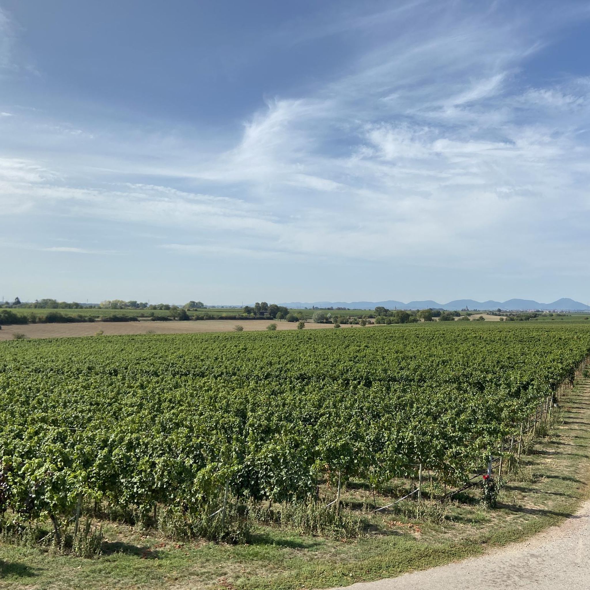
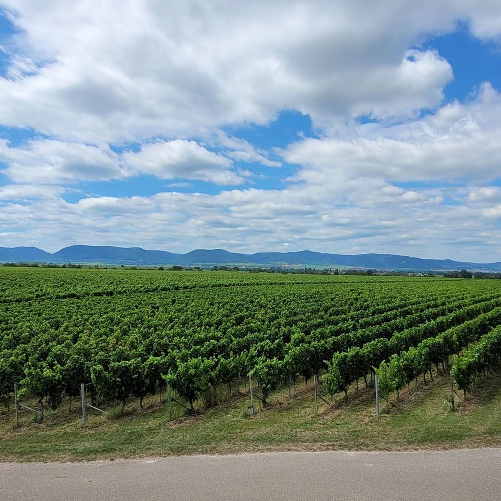
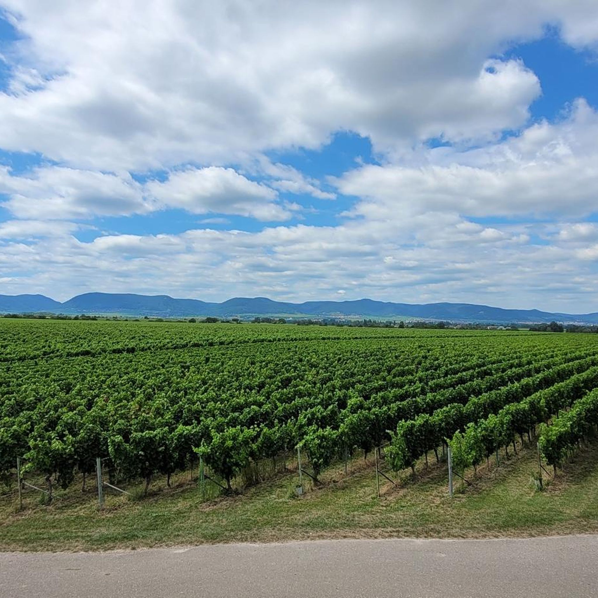
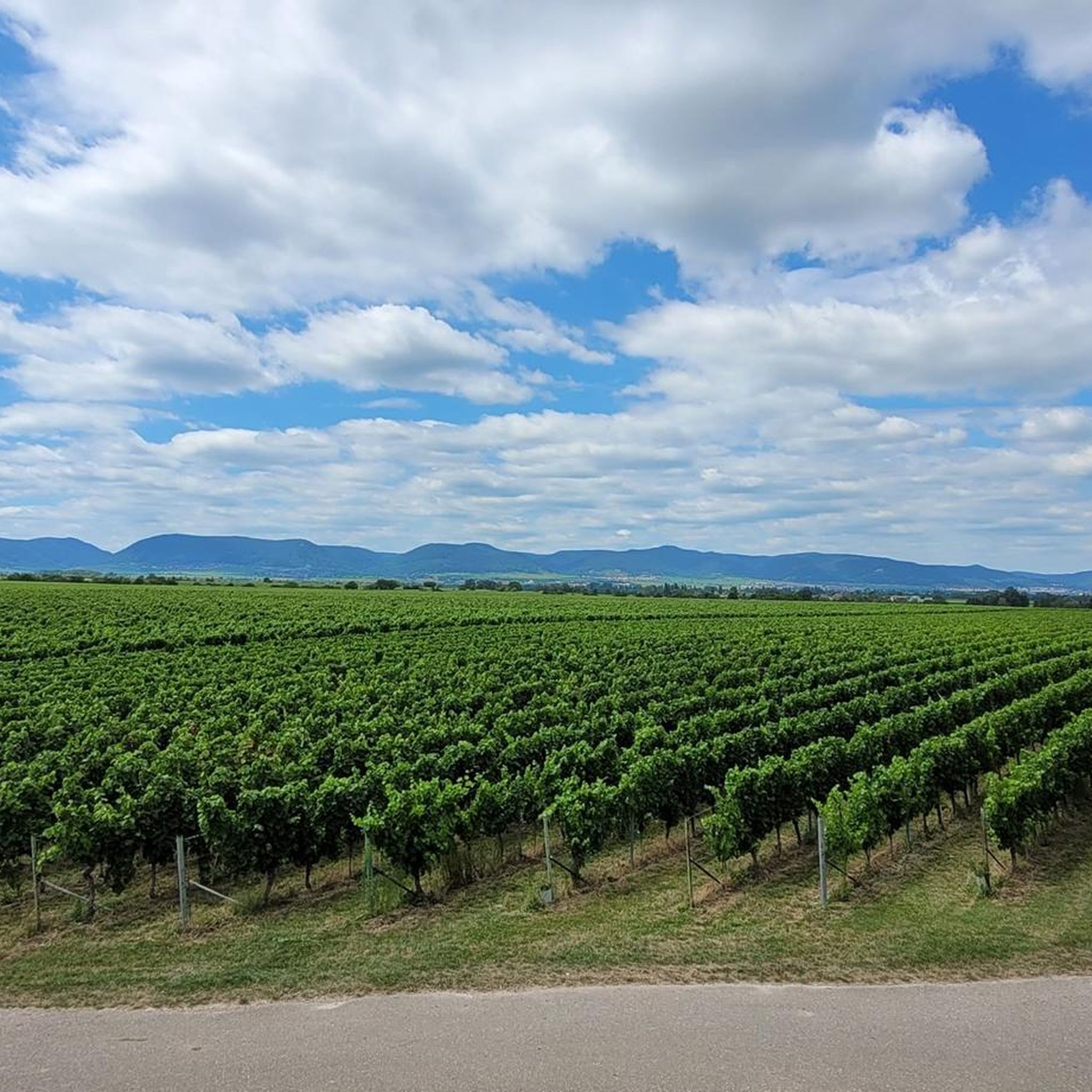
Tips from the Community

A very beautiful path leads past the stone pyramid, which marks the highest point of the Blätterberg. But there are other markings here too. Ancient boundary stones and rocks with boundary marks can be found on the path. The cross stands for the Hochstift Speyer.
1
0

After a long climb to the Kalmit, you will be rewarded with a fantastic view
5
0

The view of the Rhine Valley is fantastic. You can see the Odenwald and the Black Forest from here.
1
0

Much nicer than walking along the street.
1
0

is located on the Höhenstrasse to Triefels Castle
0
1

The Kalmit is located near Maikammer in the Southern Wine Route district of Rhineland-Palatinate. At 673.64 meters above sea level, it is the highest mountain in the Palatinate Forest. From up here, you have breathtaking views of the Rhine plain, the Odenwald forest, and even the Black Forest. Simply amazing 🤩👌🏼. There's also a rest hut up here where you can enjoy delicious food 😋👍🏼.
4
0

very good food, nice host.
0
0

At the parking lot in front of the Kalmithaus, the slippery road ends: the asphalt simply ends, as if someone had said, "Okay, adventure begins here!" From there, things get really tricky for road bikes – rough gravel, small stones, and the constant fear of getting a flat tire. You briefly consider whether you love your bike... or just ride over it. But honestly: The last stretch is still worth it. It's short, nasty – and at the top, the reward is complete. A view to fall in love with, a clear view all the way to the Odenwald (if the mist is kind), a cool drink from the hut, and that muscle cramp you trust. Perfect. If you've made it this far, you'll still make it all the way to the top. And afterward: roll down the gravel, let off some air (from your lungs, not the tires), and proudly say, "Kalmit? Sure – I made it."
1
0
Frequently Asked Questions
What kind of mountaineering routes can I find around Hochstadt (Pfalz)?
Mountaineering around Hochstadt (Pfalz) offers a diverse landscape, characterized by rolling vineyards, unique loess hollow paths, and extensive woodlands within the Palatinate Forest. While not featuring high-altitude peaks, the routes provide varied terrain with moderate elevation gains, often traversing through charming villages and offering panoramic views.
How many mountaineering routes are available in Hochstadt (Pfalz)?
Komoot currently lists 5 distinct mountaineering routes around Hochstadt (Pfalz). These routes are all rated as moderate, providing engaging experiences for various skill levels.
Are there any circular mountaineering routes in the area?
Yes, several routes are designed as loops, allowing you to start and end in the same location. For example, the St. Martin Church – Weinstube Altes Rathaus loop from Sankt Martin is a popular circular route that takes you through vineyards and charming villages. Another option is the Hohe Loog House – Hohe Loog Summit (619 m) loop from Maikammer, which ascends to a notable summit with expansive vistas.
What are some notable viewpoints or natural features I can expect to see?
The region is rich in scenic beauty. You can enjoy panoramic views over vineyards and the Palatinate Forest, especially from routes like the Hohe Loog House – Hohe Loog Summit (619 m) loop from Maikammer. The area is also known for its unique loess hollow paths and picturesque spots like Hilsch Pond, which you can pass on routes such as the Sandwiesen Pond – House at the Firs loop from Sankt Martin.
Are there any family-friendly mountaineering options?
While all listed routes are moderate, some are more accessible for families. Routes that traverse vineyards and offer less strenuous ascents, such as the Zeter Mountain Inn – View of Hambach Castle loop from Maikammer, can be enjoyable for families. It's always recommended to check the specific route details for distance and elevation to ensure it suits your family's capabilities.
What do other mountaineers enjoy most about the routes in Hochstadt (Pfalz)?
The komoot community highly rates the mountaineering routes around Hochstadt (Pfalz), with an average score of 5.0 stars from more than 2 reviews. Reviewers often praise the scenic views through vineyards, the charming villages, and the well-maintained paths that lead through dense forests and past tranquil ponds.
Are there any historical sites or attractions along the routes?
Yes, the region is dotted with interesting historical sites. For instance, the Ludwig Tower – Rietburg Chairlift loop from Rhodt unter Rietburg can bring you close to Rietburg castle ruins. You might also find routes offering views of Hambach Castle, a significant historical landmark.
What is the best time of year for mountaineering in Hochstadt (Pfalz)?
The Palatinate region is beautiful year-round, but autumn is particularly ideal for outdoor activities. The vineyards are vibrant with color, and the weather is generally pleasant. Spring also offers lovely conditions with blooming flora. While winter mountaineering is possible, some paths might be slippery or less accessible, so checking local conditions is advised.
Are the mountaineering routes dog-friendly?
Most trails in the Palatinate Forest and vineyard areas are generally dog-friendly, provided dogs are kept on a leash, especially in nature reserves or near livestock. It's always a good idea to bring enough water for your dog and be mindful of other hikers and wildlife. Specific restrictions might apply in certain areas, so look for local signage.
Is there parking available near the trailheads?
Yes, many trailheads and starting points for routes in the Hochstadt (Pfalz) area, particularly in villages like Sankt Martin or Maikammer, offer designated parking facilities. It's advisable to check specific route descriptions or local maps for detailed parking information before you set out.
Can I access these routes using public transport?
The Southern Wine Route region has some public transport options, including bus services connecting villages. While direct access to every trailhead via public transport might vary, it is often possible to reach starting points in larger towns like Sankt Martin or Maikammer. Planning your journey with local public transport schedules is recommended.
What kind of elevation gain can I expect on these routes?
The mountaineering routes around Hochstadt (Pfalz) typically feature moderate elevation gains. For instance, routes can involve ascents of around 190 to over 430 meters, providing a good workout without being overly strenuous. This makes them suitable for those looking for engaging hikes rather than high-altitude climbing.
Most popular routes around Hochstadt (Pfalz)
Most popular attractions around Hochstadt (Pfalz)

Get inspired with the komoot mobile app


Explore more
Browse the best Mountain Hikes & Routes in other regions.
