The best walks and hikes around Oorid Lough
4.9
(11)
94
hikers
5
hikes
Hiking trails around Oorid Lough are situated within the Connemara region of County Galway, Ireland, characterized by its rugged and wild beauty. The area features Oorid Lough, a freshwater lake, and is part of the Connemara Bog Complex Special Area of Conservation. Hikers can expect expansive boglands, loughs, and a landscape where water and land merge. This environment supports diverse ecosystems, including blanket bogs and unique flora.
Best hiking trails around Oorid Lough
- The most popular hiking route is Lackavrea…
Last updated: July 1, 2026
5.0
(1)
10
hikers
5.35km
01:52
300m
300m
Moderate hike. Good fitness required. Easily-accessible paths. Suitable for all skill levels.
4.7
(7)
57
hikers
3.55km
01:23
160m
160m
Moderate hike. Great for any fitness level. Mostly accessible paths. Sure-footedness required.

Sign up for free
1
hikers
5.74km
01:33
80m
80m
Easy hike. Great for any fitness level. Easily-accessible paths. Suitable for all skill levels.
5.0
(1)
11
hikers
8.99km
03:05
280m
280m
Moderate hike. Good fitness required. Mostly accessible paths. Sure-footedness required.
5.0
(2)
13
hikers
16.7km
05:09
380m
380m
Hard hike. Very good fitness required. Mostly accessible paths. Sure-footedness required.
Our route recommendations are based on thousands of hikes, rides, and runs completed by other people on komoot.
Start today with a free account
Your next adventure awaits.
Login or Signup
Popular around Oorid Lough
Tips from the Community

Cloch a' Leachta is one of the most dramatic photo stops in the Connemara Gaeltacht. From this elevated spot on the R340, you look straight across the labyrinth of islets and salt marshes of Lough Athalia (Loch an Tsáile). The interplay of the deep blue water, the golden-brown seaweed edges, and the rugged granite rocks creates a landscape that changes with every tide. It is the perfect place to soak in the vastness of the Irish west coast, with the distant outlines of the Twelve Bens towering over the horizon.
4
0

This spot offers you a stunning view of Lough Aroolagh from the R340. This serene lake perfectly reflects the wild, rugged beauty of the surrounding Connemara landscape.
1
0
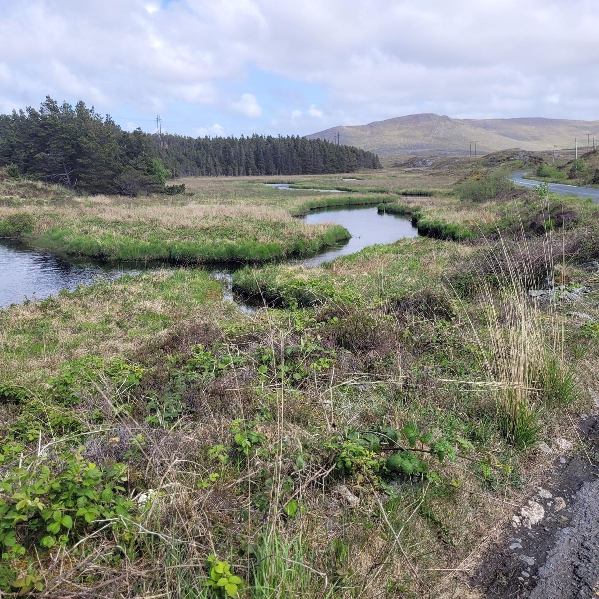
The beautiful views from this section of the trail are of Lough Inveragleragh. The island within the lake is home to the iconic Inver Lodge, which is a historic, private Victorian fishing lodge. Built in the late 19th century, it was originally part of the Berridge family estate and served as a secluded retreat for anglers fishing the lake's famous sea trout and salmon.
0
0

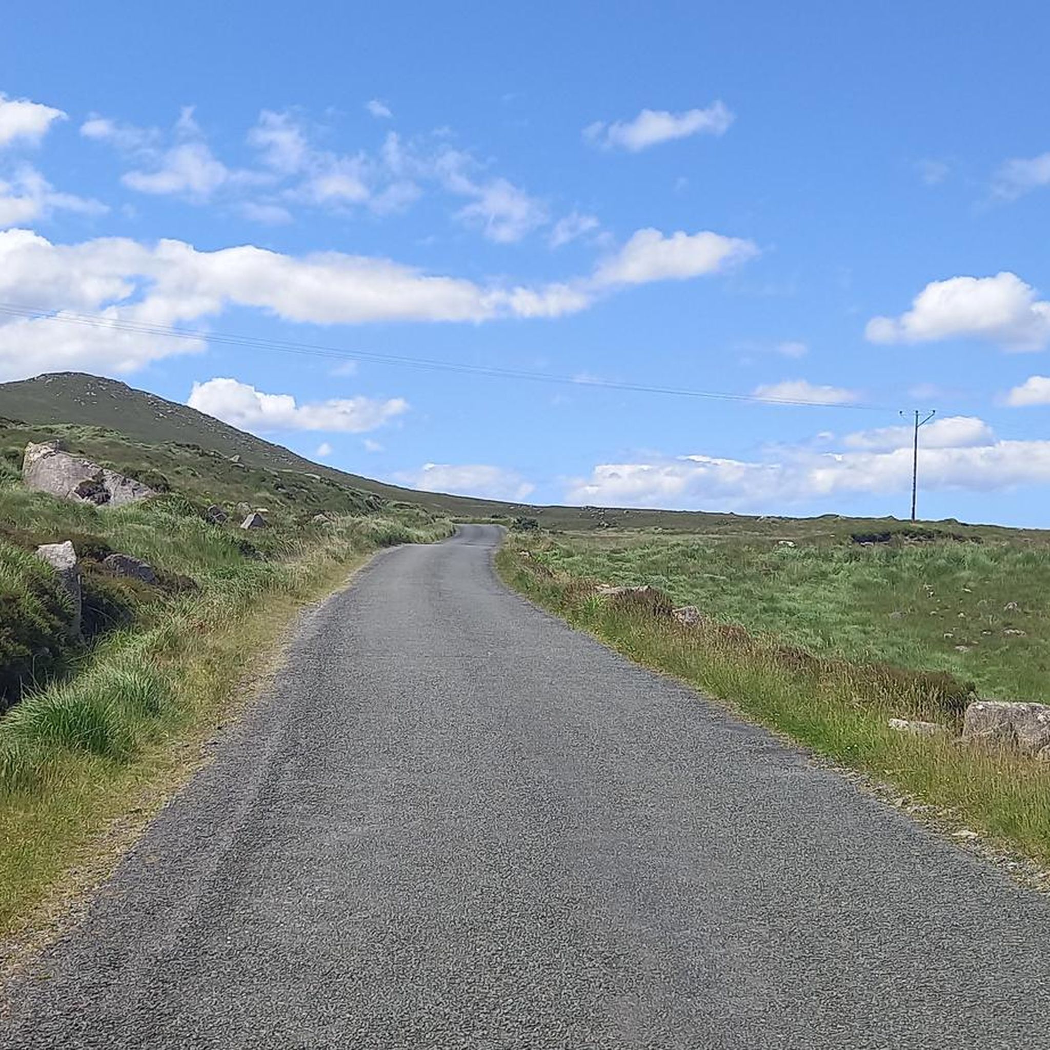
The hike to the top of Lackavrea is a great hike from the road. It is less than five kilometres up and back, and the trail does not follow a recognised or any distinct path as such. As with most hills in Ireland, it will be a tad boggy underfoot, but you will be rewarded with marvellous views as you wind your way to the top and from the summit itself down over the big expanse that is Lough Corrib. It is worth noting too that on a good day from the top you will be able to see Castlekirk, a tower house, or castle, which is located on an island in the lough.
0
0

A great walk with kids. Plenty of place for them to run around, climb boulders etc. My kid loves it. Plan for rain jacket; it often rains there! Being the Connemara and all that! 🙈😂
1
0

Small well-tended chapel right at Maumeen Pass in the middle of the Maumturk Mountains.
3
0
Frequently Asked Questions
How many hiking trails are available around Oorid Lough?
There are 5 hiking trails documented around Oorid Lough on komoot, offering a range of experiences from easy strolls to more challenging treks through the Connemara landscape.
Are there any easy hiking trails suitable for beginners around Oorid Lough?
Yes, for those seeking an easier option, the Lough Inveragleragh out and back trail is rated as easy. It's a 3.6-mile (5.7 km) path that leads through the lough landscape, typically completed in about 1 hour 33 minutes.
Can I find challenging or difficult hikes in the Oorid Lough area?
Absolutely. For a more demanding experience, consider the Stone Bridge – Maumeen Chapel loop from Maum Village. This difficult 10.4-mile (16.7 km) route offers a significant challenge through varied Connemara terrain, with considerable elevation gain.
What kind of landscape can I expect to see while hiking around Oorid Lough?
The landscape around Oorid Lough is characteristic of Connemara, featuring rugged and wild beauty where water and land merge. You'll encounter expansive boglands, freshwater loughs, and a lacy shoreline. The area is part of the Connemara Bog Complex Special Area of Conservation, meaning you'll experience unique ecosystems, including blanket bogs and diverse flora.
Are there any circular walks around Oorid Lough?
Yes, there are circular options available. The Stone Bridge – Maumeen Chapel loop from Maum Village is a notable circular route, offering a challenging experience. Another moderate loop is the Maumeen Chapel loop from Illion ED.
What are some notable landmarks or attractions near Oorid Lough?
While Oorid Lough itself is a beautiful natural feature, its location within Connemara offers proximity to other significant sites. The renowned Connemara National Park is relatively close, offering marked trails like the Diamond Hill loops with panoramic views. Additionally, the Lackavrea area, about 5 kilometers west of Oorid Lough near Maam Cross, features a 4km bog bridge trail leading into a remote forest and bog.
Is Oorid Lough suitable for family-friendly walks?
The Oorid Lough area offers varied terrain. While some routes are challenging, the Lough Inveragleragh out and back trail is rated as easy, making it a more suitable option for families looking for a less strenuous walk through the lough landscape.
Are dogs allowed on the hiking trails around Oorid Lough?
Generally, dogs are welcome on many trails in rural Ireland, especially if kept under control. However, as the area is part of the Connemara Bog Complex Special Area of Conservation, it's important to keep dogs on a leash to protect wildlife and sensitive habitats, particularly during nesting seasons or when livestock are present.
Where can I park when visiting Oorid Lough for a hike?
Specific designated parking for Oorid Lough itself is not extensively documented. However, for trails like the Lackavrea Trail, which is near Maam Cross, you would typically find parking options in or near the starting points of these routes. It's advisable to check the specific route details on komoot for parking suggestions at the trailhead.
What is the best time of year to go hiking around Oorid Lough?
The best time to hike around Oorid Lough is generally during the drier months, from late spring to early autumn (May to September). This period offers milder weather and longer daylight hours, making the boggy terrain more manageable. Be prepared for changeable weather conditions typical of Connemara at any time of year.
What do other hikers say about the trails around Oorid Lough?
The trails around Oorid Lough are highly rated by the komoot community, with an average score of 4.9 stars from over 10 reviews. Hikers often praise the wild, unspoilt scenic beauty of Connemara, the unique bogland ecosystems, and the sense of solitude found on these routes.
Are there places to eat or stay near Oorid Lough after a hike?
While Oorid Lough itself is quite remote, the nearby village of Maam Cross, approximately 5 kilometers to the west, offers some amenities. You can find pubs and potentially accommodation options there. For more extensive choices, the broader Connemara region has various cafes, restaurants, and guesthouses.
What unique flora might I encounter in the Oorid Lough area?
As Oorid Lough is part of the Connemara Bog Complex Special Area of Conservation, you can expect to see distinct bogland flora. This includes plants like purple moorgrass, sundew, butterworts, lousewort, bog cotton, milkwort, bog asphodel, and various orchids, alongside a rich variety of lichens and mosses.
Most popular routes around Oorid Lough

Get inspired with the komoot mobile app


Explore more
Browse the best Hikes in other regions.
