Top 19 Natural Monuments in the Amargosa Range
Best natural monuments in the Amargosa Range are found along the eastern border of Death Valley, spanning parts of California and Nevada. This region features diverse geological formations, including eroded badlands, colorful volcanic hills, and unique desert ecosystems. The Amargosa Range offers striking natural features and panoramic viewpoints for exploration.
Best natural monuments in the Amargosa Range
- The most popular natural monuments is Badwater Basin Salt Flats, a natural monument that represents the lowest point in North America, about…
Last updated: June 26, 2026
Badwater Basin Salt Flats
Highlight • Natural Monument
Tip by

Golden Canyon Trail
Highlight (Segment) • Canyon
Tip by
Sign up now to discover places like this
Get recommendations on the best single tracks, peaks, & plenty of other exciting outdoor places.
Sign up for free
Gower Gulch
Highlight (Segment) • Canyon
Tip by
Red Cathedral
Highlight • Natural Monument
Tip by

Dante's View — 1,669 m
Highlight • Viewpoint
Tip by

Manly Beacon
Highlight • Natural Monument
Tip by
Artist's Palette
Highlight • Natural Monument
Tip by
Natural Bridge Trail
Highlight • Natural Monument
Tip by
Devil's Golf Course
Highlight • Natural Monument
Tip by

Dante's View
Highlight • Viewpoint
Tip by

Sign up for free to discover even more natural monuments in the Amargosa Range.
Sign up for free
Already have an account?
Start today with a free account
Your next adventure awaits.
Login or Signup
Popular around Amargosa Range
Tips from the Community

Water and sunglasses are essential!
1
0

Badwater Basin is the lowest point in North America, at 280 feet (86 meters) below sea level. The salt flats here cover nearly 200 square miles (518 square kilometers) and are composed primarily of sodium chloride (table salt), along with calcite, gypsum, and borax. Stories suggest that Badwater Basin got its name when an early surveyor’s mule refused to drink from the spring-fed pool near the current boardwalk. The water here isn’t really “bad,” just very salty. Despite the high salt content, many organisms not only survive here, but thrive. The pool is home to an endemic snail that is native only to this location, and the rim is dotted with salt-tolerant plants, including samphire. Badwater Basin was once the site of the large, ancient inland lake Manly, which evaporated tens of thousands of years before the arrival of the man in 1849 for whom it is named. The lake had no outlet, so over time sediment and salt accumulated. When the lake eventually evaporated, it left behind concentrated salt layers. Today, fascinating geometric salt flats form on the plains as groundwater rises through these layers and evaporates.
4
1

This is the lowest point of the continental USA. Badwater is about 282 feet (85.5 meters) below sea level. It is also one of the hottest places in the world with temperatures around 50 degrees Celsius in the summer months. A short walk across the salt desert is still worthwhile in any heat.
3
1

Here is the lowest point in North America Badwater is about 85.5 meters below sea level.
2
3

Since you can swim in salt water, spare socks and a towel are very helpful!
1
2

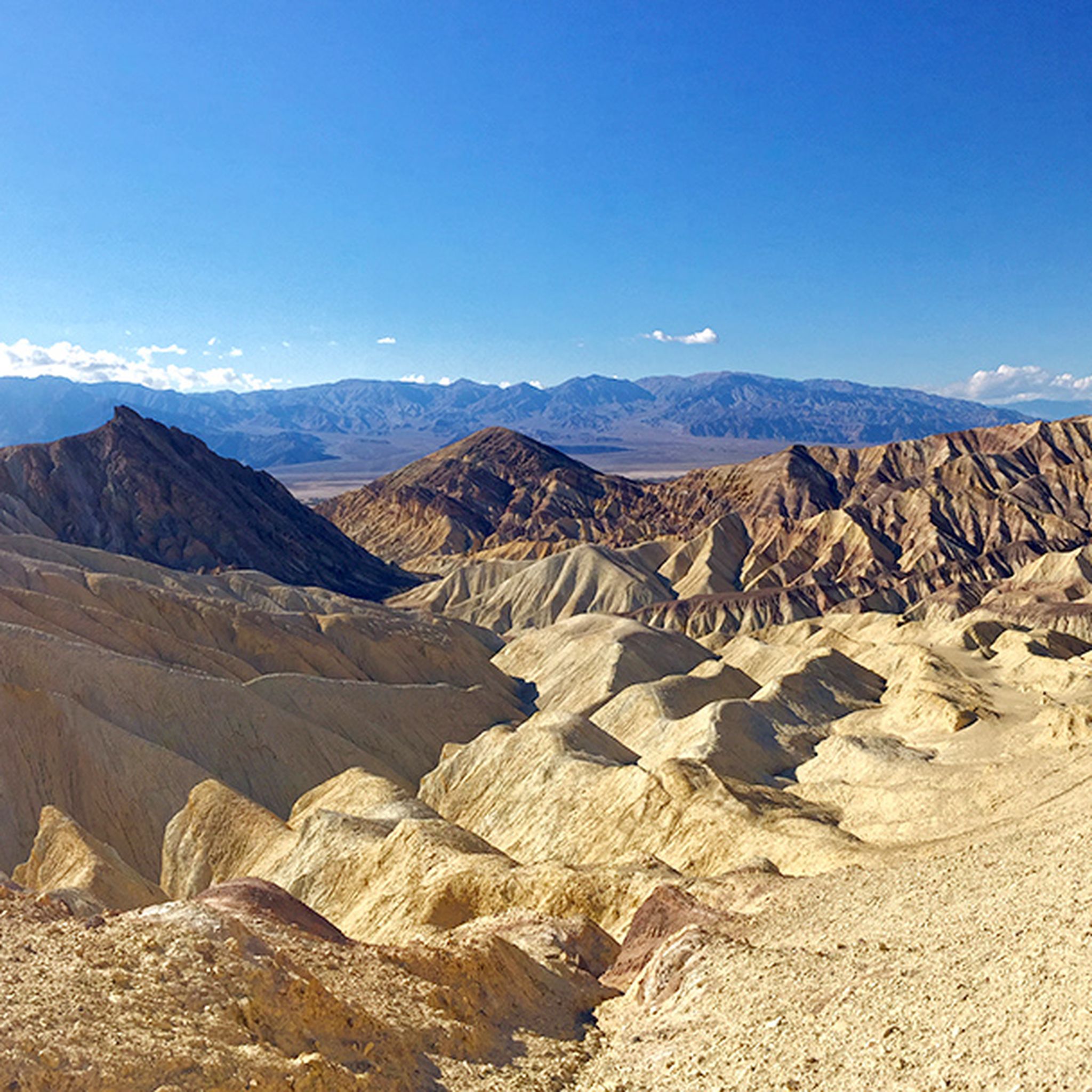
Dante’s View sits at 5476 feet along the Black Mountains crest, delivering a bird eye view over the Death Valley. From here you can see the valley colors and the Badwater salt flats, making the landscape look like a painting. The trail to the viewpoint is uphill and it is also traveled by hikers. You can choose to leave your bike in the parking lot or go with it, depending on what experience you want to have.
0
0

This place has a very fitting name, as only the devil could play golf on such a challenging terrain. It's a vast area of eroded rock salt. If you pay attention, you can hear the sounds made by billions of tiny salt crystals reacting to the heat.
1
0
What you see is a clear representation of what an artist's palette would look like brought to nature. The landscape here is incredible, not only for its beauty, tranquility, and shapes, but also for the different colors that are evident due to minerals, including red hematite and green chlorite.
1
0
Frequently Asked Questions
What are some of the most striking natural features to see in the Amargosa Range?
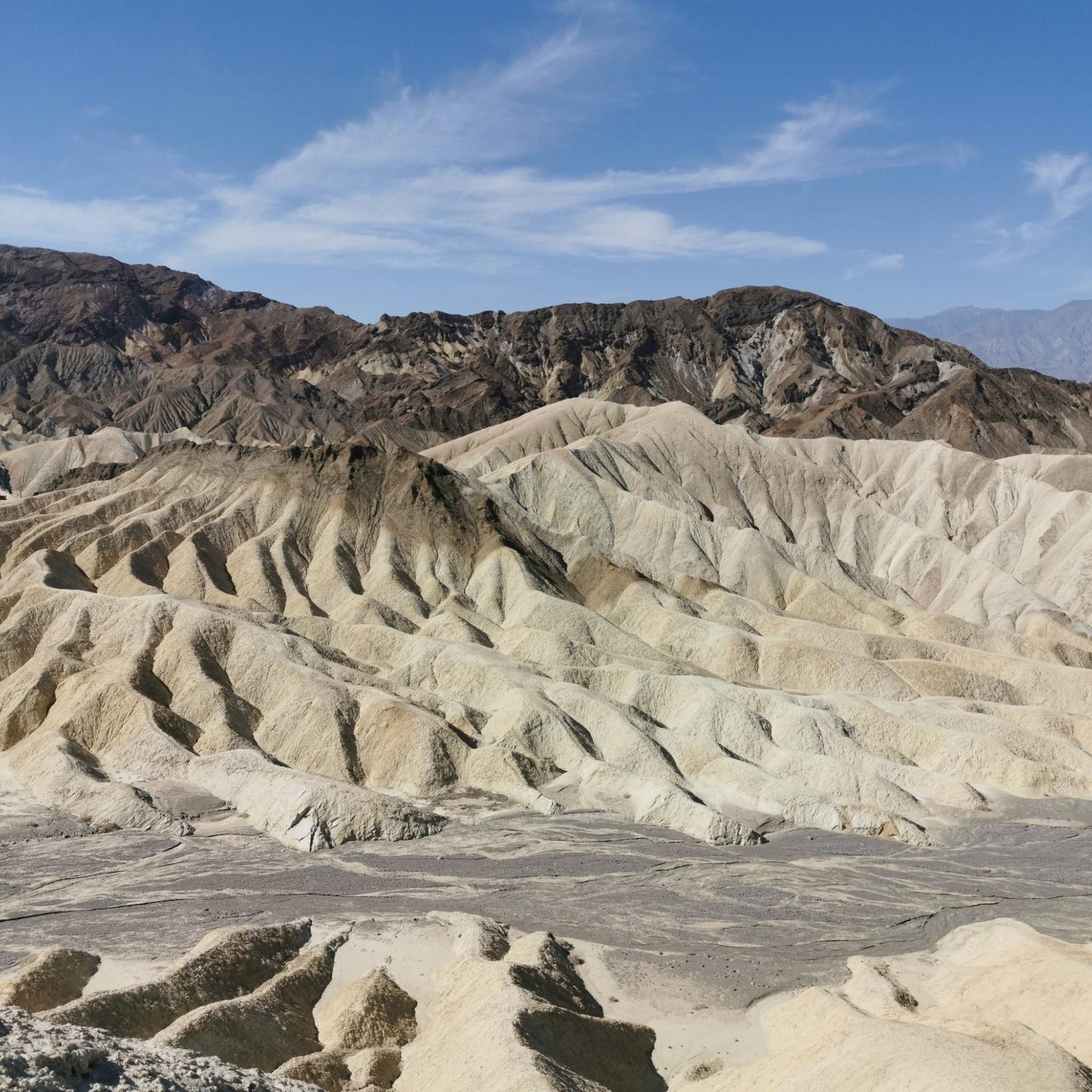
The Amargosa Range offers a variety of striking natural features. You can explore the vast salt flats of Badwater Basin Salt Flats, the lowest point in North America, known for its unique geometric patterns. Another must-see is the Golden Canyon Trail, which winds through colorful rock formations. For panoramic views, Dante's View provides an unparalleled perspective of Death Valley's expansive landscape.
Are there family-friendly natural monuments in the Amargosa Range?
Yes, several natural monuments are suitable for families. Badwater Basin Salt Flats is easily accessible and offers a unique landscape for all ages. Dante's View provides breathtaking panoramic views from a paved overlook, perfect for families. Additionally, the Natural Bridge Trail is another family-friendly option, offering a relatively easy hike to a natural rock bridge.
What kind of hiking trails can I find near the natural monuments?
The Amargosa Range offers a range of hiking opportunities. For easy walks, consider routes like the Badwater Basin Salt Flats trail or the Natural Bridge Trail. More moderate options include the Golden Canyon Trail to Red Cathedral via Gower Gulch Loop, which allows you to explore varied terrain and colorful rock formations. You can find more detailed information on various hiking routes in the Hiking in the Amargosa Range guide.
What is the best time to visit the natural monuments in the Amargosa Range?
The Amargosa Range, bordering Death Valley, experiences extreme heat during summer months. The best time to visit is typically from late fall through early spring (October to April) when temperatures are milder and more comfortable for exploration and outdoor activities. During these cooler months, you can fully enjoy the landscapes without the intense heat.
Are there any unique geological formations besides salt flats and canyons?
Yes, beyond the salt flats and canyons, the region boasts unique geological formations. Artist's Palette, part of Artists Drive, showcases hills stained with spectacular shades of green, blue, pink, and yellow due to mineral oxidation. Another notable feature is Manly Beacon, a distinctive rock formation visible from Zabriskie Point, named after William L. Manly.
What kind of wildlife can I expect to see in the Amargosa Range?
The Amargosa Range and its adjacent areas, particularly Ash Meadows National Wildlife Refuge, are biodiversity hotspots. While the desert landscape might seem barren, you can find unique desert-adapted species. Ash Meadows is home to over 30 spring pools and contains the highest local concentration of endemic species in North America, making it an excellent spot for birdwatching and observing rare aquatic life. Amargosa Canyon also supports a vibrant riparian ecosystem with diverse bird species.
Are there any natural monuments that offer panoramic viewpoints?
Absolutely. Dante's View is renowned for its expansive, unobstructed views of Death Valley, including Badwater Basin and the Panamint Range. Zabriskie Point, while not listed in the guide data, is another iconic viewpoint in the Black Mountains, offering panoramic views of eroded badlands, especially stunning at sunrise or sunset.
What are the options for running trails near the natural monuments?
For those interested in running, there are several trails available. You can find moderate running routes such as the Red Cathedral via Golden Canyon Trail or the Zabriskie Point via Gower Gulch Trail. These trails offer a unique way to experience the desert landscape. More options can be found in the Running Trails in the Amargosa Range guide.
Are permits required to visit the natural monuments in the Amargosa Range?
Many of the natural monuments in the Amargosa Range are located within Death Valley National Park. While specific permits for individual natural monuments are generally not required, there is an entrance fee to access Death Valley National Park. It's always advisable to check the official National Park Service website for the most current information on fees and any specific area restrictions before your visit.
What do visitors enjoy most about the natural monuments in the Amargosa Range?
Visitors frequently express awe at the unique geological formations and the vastness of the desert landscape. The vibrant colors of places like Golden Canyon Trail and Artist's Palette are often highlighted. The panoramic views from Dante's View are consistently praised for their breathtaking scale. The stark beauty and unique ecosystems, such as the salt flats at Badwater Basin, also leave a lasting impression.
Can I find any natural monuments that are less commonly visited or considered 'hidden gems'?
While many sites are popular, exploring areas like the Amargosa Canyon can offer a different experience. Here, the Amargosa River emerges to create a rare riparian habitat with lush plant life and diverse bird species, offering a stark contrast to the surrounding arid landscape. It provides a unique opportunity to experience a flowing desert river and its vibrant ecosystem, which might be less crowded than the more famous viewpoints.
Most popular routes in the Amargosa Range
Most popular attractions in the Amargosa Range

Get inspired with the komoot mobile app


Explore more
Extend your search for the best caves by checking out these guides of the top ones in the Amargosa Range:
