The best mountain hikes around Schluchter Heide
5
hikers
Mountaineering routes around Schluchter Heide traverse a diverse landscape, forming part of the wider Bergische Heideterrasse. This region features a blend of ecosystems, including remnants of near-natural riparian and swamp forests, alongside extensively used horse pastures and meadows. The area encompasses natural reserves such as Gierather Wald and Strunde-Aue, offering varied terrain for outdoor activities. While not characterized by high-alpine features, the broader region provides challenging routes with significant ascents.
Best mountaineering routes around Schluchter Heide
- The most popular mountaineering…
Last updated: June 24, 2026
1
hikers
9.97km
02:40
120m
120m
Moderate mountaineering route. Good fitness required. Easily-accessible paths. Suitable for all skill levels.
3
hikers
7.13km
01:57
110m
110m
Easy mountaineering route. Great for any fitness level. Easily-accessible paths. Suitable for all skill levels.

Sign up for free
1
hikers
Moderate mountaineering route. Good fitness required. Easily-accessible paths. Suitable for all skill levels.
Our route recommendations are based on thousands of hikes, rides, and runs completed by other people on komoot.
Start today with a free account
Your next adventure awaits.
Login or Signup
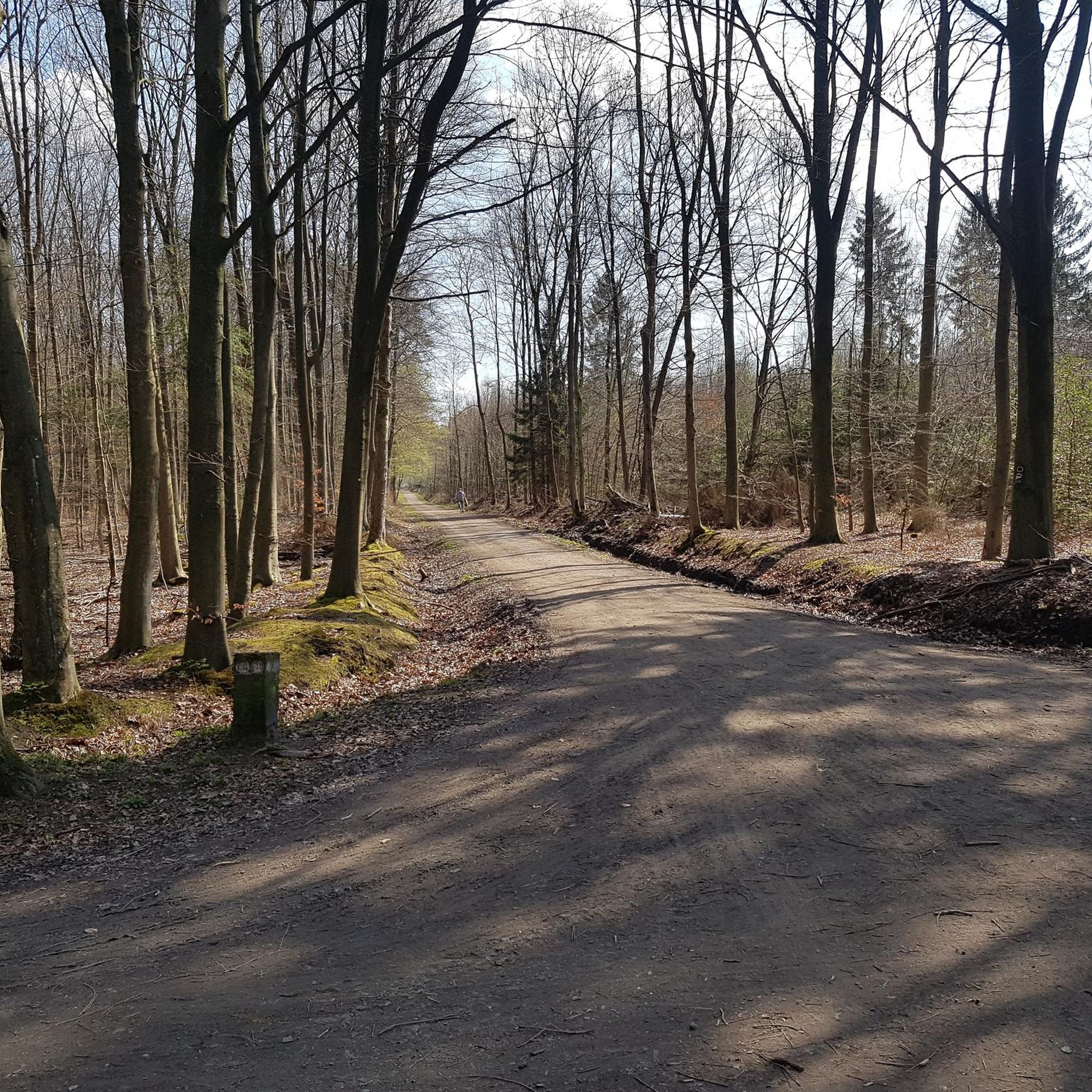
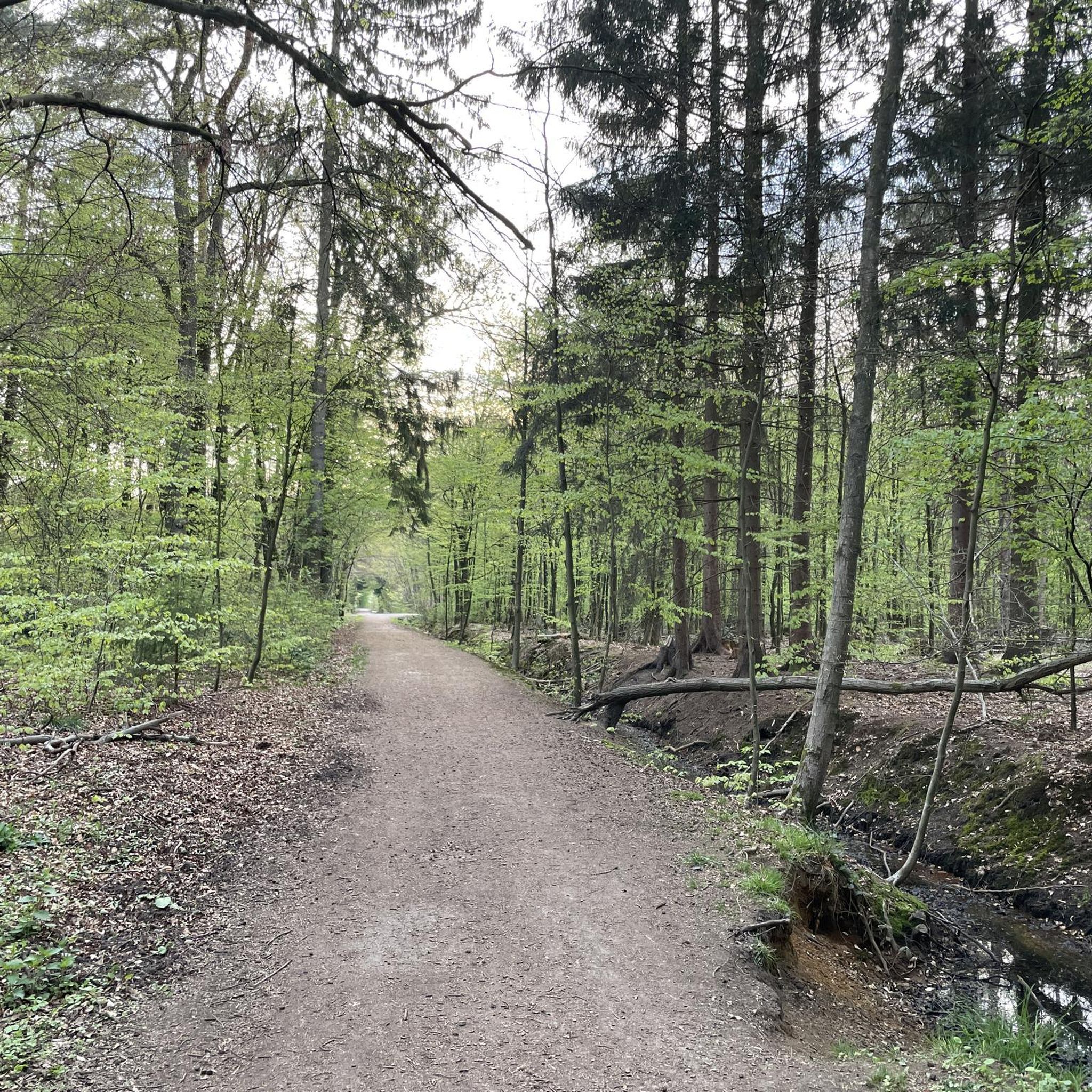
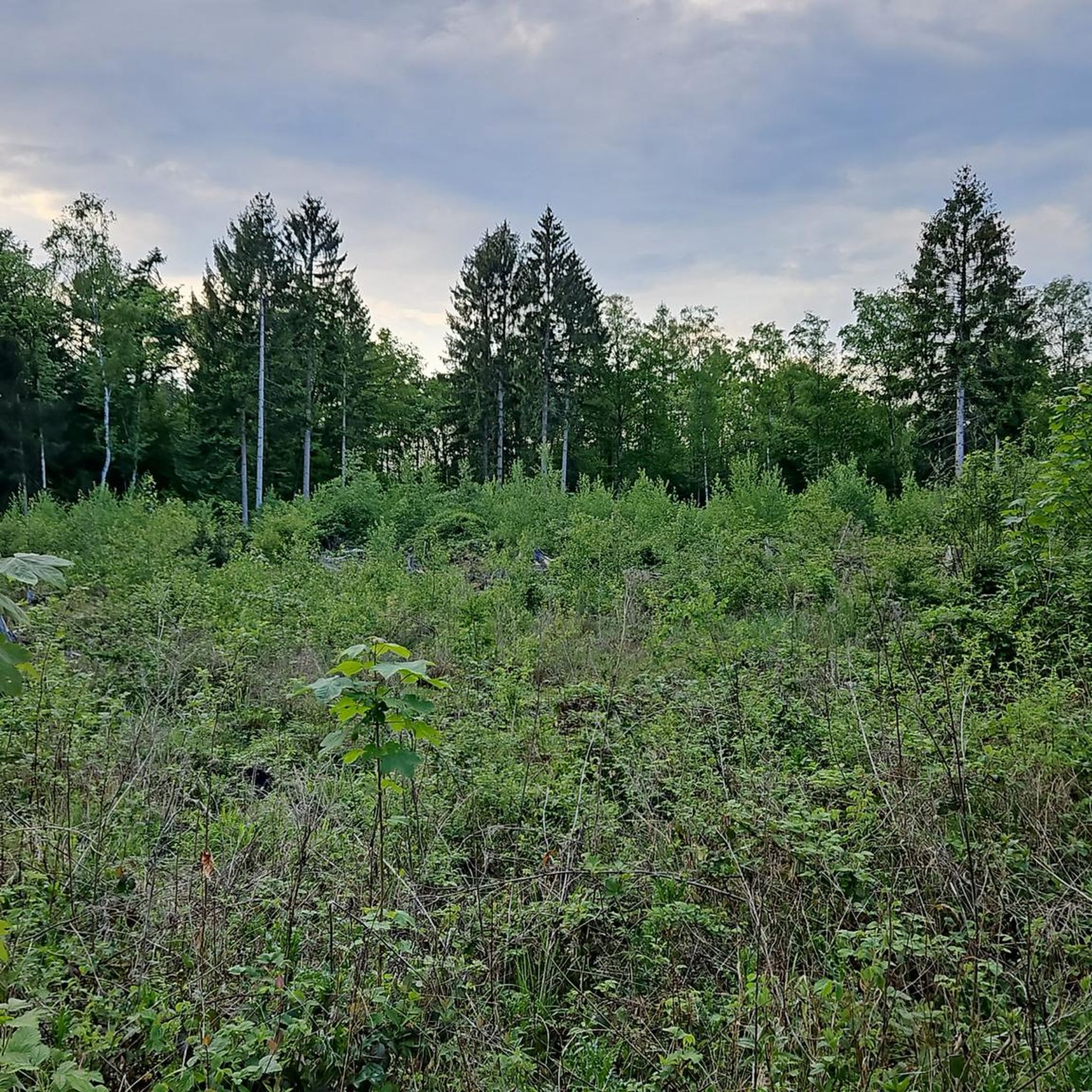
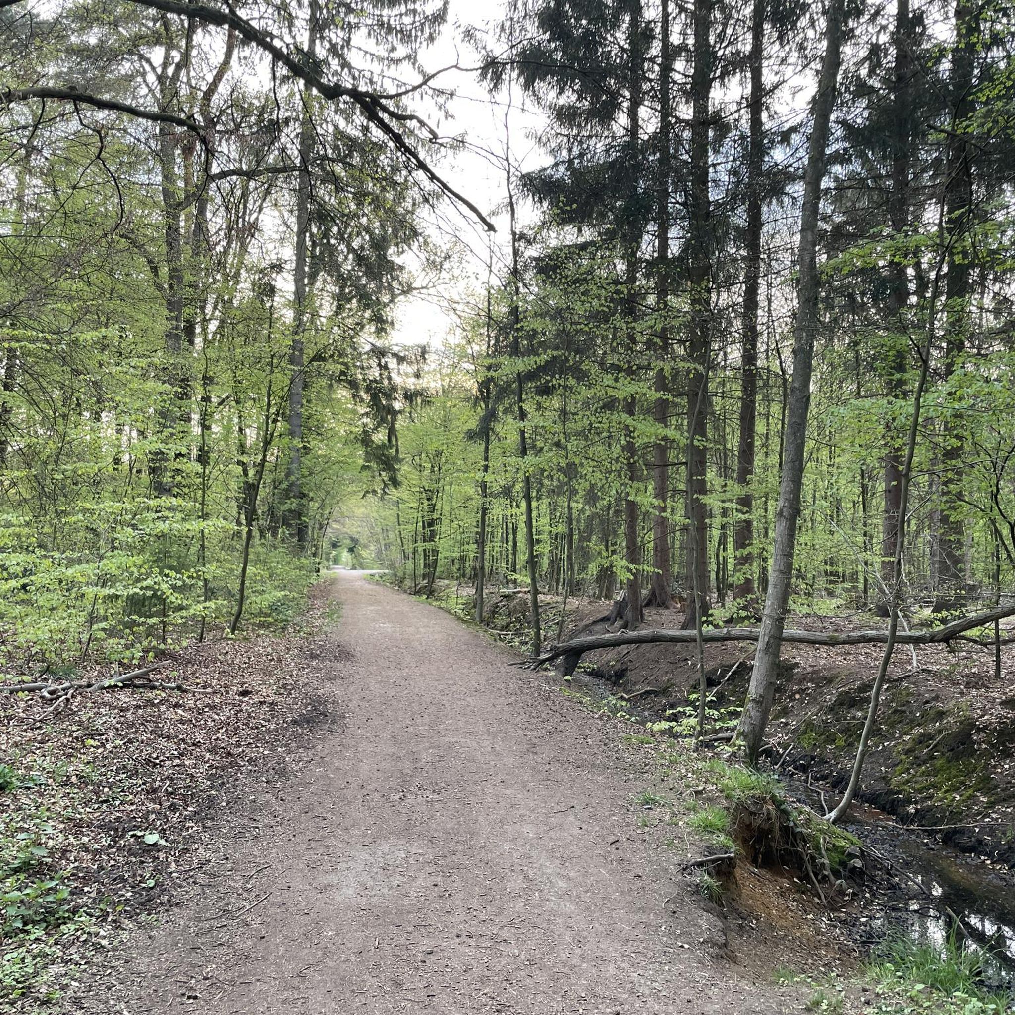
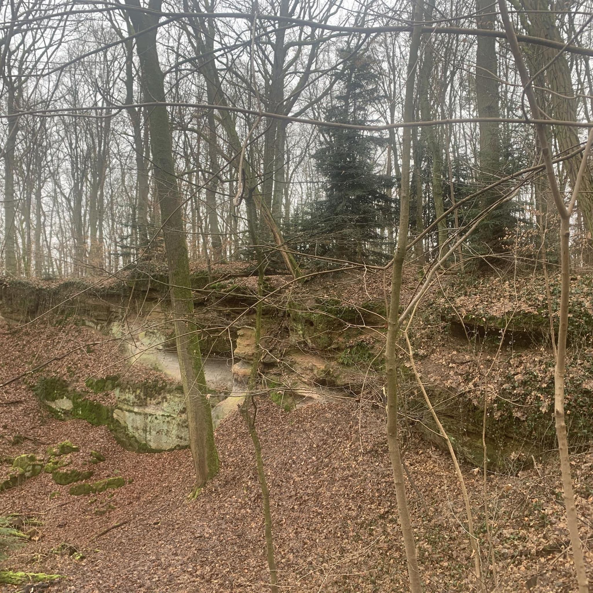
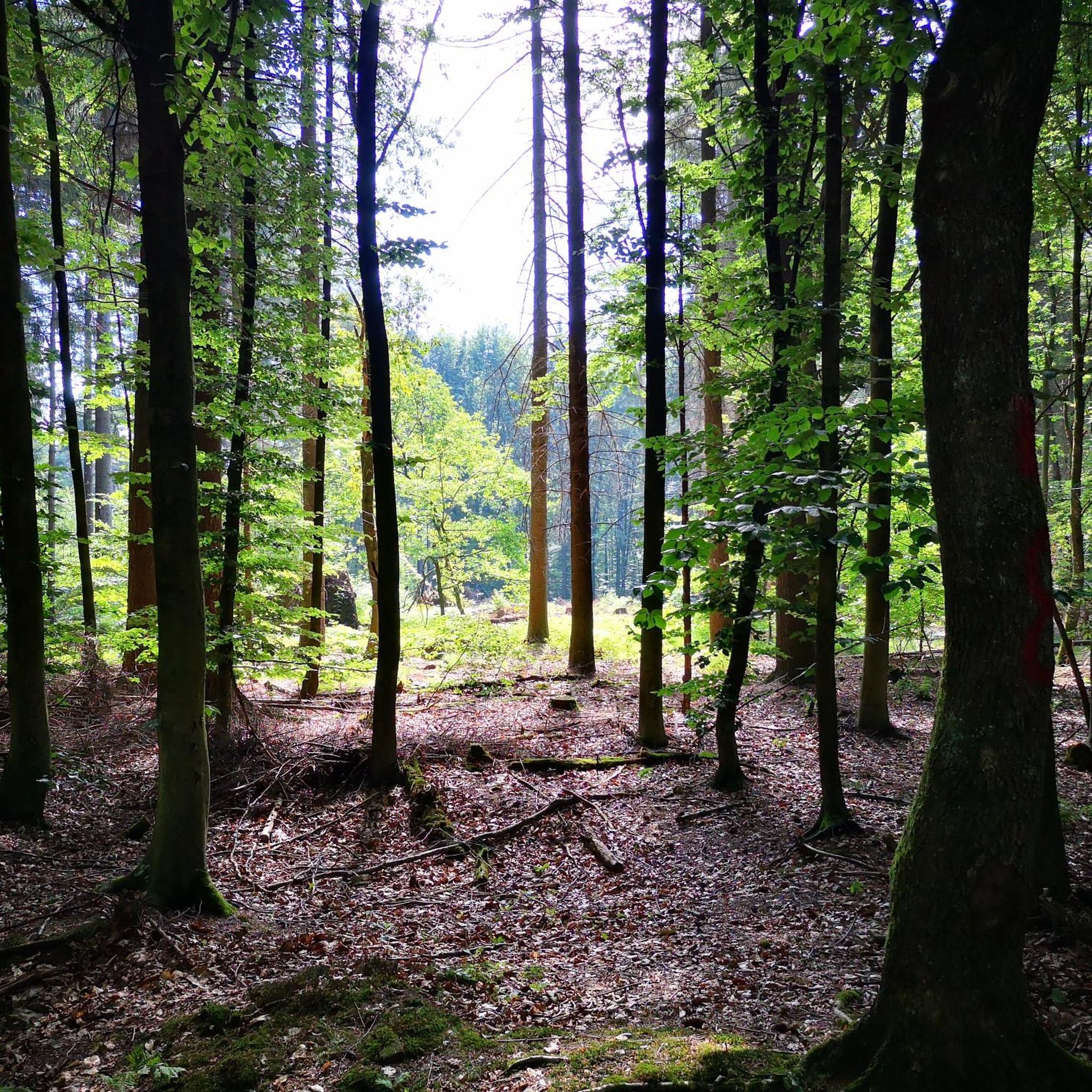
Tips from the Community

The Sülz River flows powerfully through Hoffnungsthal. This tributary of the Agger, approximately 25 kilometers long, significantly shapes not only the townscape but also the surrounding landscape. Densely vegetated banks and open green spaces line the river. During heavy rainfall, the Sülz often swells rapidly, flooding the areas it surrounds.
1
0
The Kupfersiefer Valley near Rösrath is a protected landscape area that perfectly showcases the diversity of the Bergisches Land region's valleys. Here, the stream meanders naturally for extended stretches, accompanied by damp meadows, old groves, and wooded slopes. The valley provides a habitat for numerous animal and plant species. As you walk through this approximately 65-hectare nature reserve, you can enjoy peace and quiet far removed from the hustle and bustle of everyday life.
1
0

Eulenbroich Castle was built around 1200 as a moated castle and is located in the Sülz river valley, very close to the center of Rösrath. Over the centuries, the building has served many different purposes: as a grand bourgeois villa, as the mayor's residence, and as a retirement home. Since 2003, the Eulenbroich Castle Cultural Association has managed the castle. Today, Eulenbroich Castle is open to the public for concerts, corporate events, markets, seminars, conferences, weddings, communion celebrations, and birthday parties.
0
0


At Hauptstraße 310-312 in Rösrath, you can view the historic site of the Reusch Villas (exterior only). The Karl Reusch Villa (built in 1896) and the Kurt Reusch Villa (built in 1894) stand together in a large English-style park with mature trees. These two villas are among a total of four villas owned by the Reusch brothers. The other pink villa can still be admired on "Am Hammer," a street branching off the main street.
1
0

A beautiful little river that, together with the typical Bergisches village of Hoffnungsthal, creates a great backdrop!
0
0

"The Sülz Valley takes its name from the Sülz River and its two source streams, the Kürtener Sülz and the Lindlarer Sülz. Measured from the source of the Lindlarer Sülz, the Sülz travels 49 km before flowing into the Agger River near Lohmar. This makes the Sülz the most important tributary of the Agger, which in turn drains into the Rhine via the Sieg River." https://www.ich-geh-wandern.de/suelztal "...The name Sülz is derived from the Germanic word *sula- and describes a marshy place, a wallow, or a pool..." https://de.wikipedia.org/wiki/S%C3%BClz_(Fluss)
0
0

There are some beautiful half-timbered houses here; a lovely, winding place. The half-timbered houses are in the typical Bergisch colors with green shutters.
0
0
Frequently Asked Questions
What kind of terrain can I expect on mountaineering routes around Schluchter Heide?
The routes around Schluchter Heide traverse a diverse landscape, featuring a blend of ecosystems. You'll encounter remnants of near-natural riparian and swamp forests, open horse pastures, and meadows. The area is characterized by gentle hills and varied woodland, offering a mix of natural beauty and moderate elevation changes.
Are there challenging mountaineering routes in Schluchter Heide?
While Schluchter Heide itself is known for more moderate terrain, the broader region offers routes that require good basic fitness and sure-footedness. For example, the Franziska Shaft Headframe – View from Lüderich loop from Hoffnungsthal is a moderate 7.7-mile trail with over 220 meters of elevation gain, leading through forested hills.
How long do mountaineering routes typically take in Schluchter Heide?
The duration of routes varies depending on their length and difficulty. For instance, the moderate Kupfersiefer Brook Valley – Kupfersiefer Brook Valley loop from Rösrath, which is 6.2 miles long, typically takes around 2 hours 40 minutes to complete. Shorter, easier paths like the Sülz Riverside Path – Bridge Over the Sülz loop from Rösrath can be completed in under 2 hours.
Are there family-friendly mountaineering routes in Schluchter Heide?
Yes, there are options suitable for families. The Sülz Riverside Path – Bridge Over the Sülz loop from Rösrath is an easy 4.4-mile path that follows the Sülz river, offering gentle gradients and scenic views, making it a great choice for a family outing.
Can I bring my dog on mountaineering routes in Schluchter Heide?
Generally, dogs are welcome on trails in the Schluchter Heide region. However, it's always advisable to keep your dog on a leash, especially in nature reserves like Gierather Wald, to protect local wildlife and ensure a pleasant experience for all visitors. Please check local signage for any specific restrictions.
Are there circular mountaineering routes available?
Yes, many routes in the area are designed as loops, allowing you to start and end at the same point. Examples include the Kupfersiefer Brook Valley – Kupfersiefer Brook Valley loop from Rösrath and the Franziska Shaft Headframe – View from Lüderich loop from Hoffnungsthal.
What natural features or landmarks can I see along the routes?
The region is rich in natural beauty. You can explore areas like the Gierather Forest Nature Reserve, which features diverse ecosystems including remnants of near-natural riparian and swamp forests. You might also discover small ponds, like the Small pond in Gierather Wald, offering tranquil spots for observation.
When is the best time of year for mountaineering in Schluchter Heide?
Schluchter Heide is appealing throughout the year, with each season offering a different experience. Spring and autumn provide pleasant temperatures and vibrant colors, while summer is ideal for enjoying the full bloom of the heath. Even winter can be beautiful, though conditions may require appropriate gear.
Are there parking facilities near the mountaineering trailheads?
Routes often start from towns like Rösrath or Hoffnungsthal, which typically offer public parking options. It's recommended to check specific starting points for available parking facilities before your trip.
What kind of wildlife might I encounter on the trails?
The diverse habitats of Schluchter Heide support a variety of plant and animal life. You might spot various bird species, as the area is excellent for bird-watching, and potentially other small mammals. The region is known for supporting some highly endangered species, making it a valuable natural space for observation.
How many mountaineering routes are available in Schluchter Heide?
There are at least 3 mountaineering routes detailed for the Schluchter Heide region, offering a range of distances and difficulties for exploration.
What do other mountaineers enjoy the most about mountaineering in Schluchter Heide?
Mountaineers using komoot often praise the varied terrain and natural beauty of Schluchter Heide. The mix of riparian forests, open meadows, and gentle hills provides engaging routes for different ability levels, from easy riverside paths to more challenging ascents through woodland.
Most popular routes around Schluchter Heide
Most popular attractions around Schluchter Heide

Get inspired with the komoot mobile app


Explore more
Browse the best Mountain Hikes & Routes in other regions.
