The best road cycling routes around Schluchter Heide
4.4
(2508)
31,855
riders
302
rides
Road cycling routes around Schluchter Heide traverse a region characterized by its varied terrain, including forested areas and open landscapes. The area offers a network of roads suitable for different cycling preferences, from flatter sections to routes with more significant elevation changes. Road cyclists can expect a mix of natural scenery and glimpses of local landmarks. The region's topography provides options for both leisurely rides and more challenging training routes.
Best road cycling routes around Schluchter Heide
- The most popular…
Last updated: July 3, 2026
4.3
(15)
441
riders
111km
05:33
1,430m
1,430m
Hard road ride. Very good fitness required. Some segments of this route may be unpaved and difficult to ride.
4.1
(24)
234
riders
Moderate road ride. Good fitness required. Mostly well-paved surfaces and easy to ride.

Sign up for free
4.5
(37)
687
riders
73.7km
03:22
740m
740m
Moderate road ride. Good fitness required. Mostly well-paved surfaces and easy to ride.
4.0
(5)
77
riders
44.4km
02:14
370m
370m
Moderate road ride. Good fitness required. Mostly well-paved surfaces and easy to ride.
4.9
(9)
68
riders
36.7km
01:49
420m
420m
Moderate road ride. Good fitness required. Some segments of this route may be unpaved and difficult to ride.
Get access to more routes and recommendations from other explorers.
Sign up for free
Already have an account?
Our route recommendations are based on thousands of hikes, rides, and runs completed by other people on komoot.
Start today with a free account
Your next adventure awaits.
Login or Signup
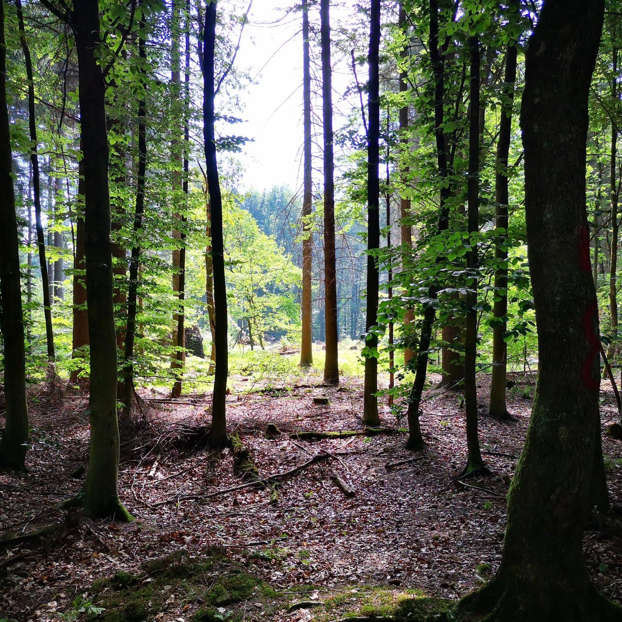
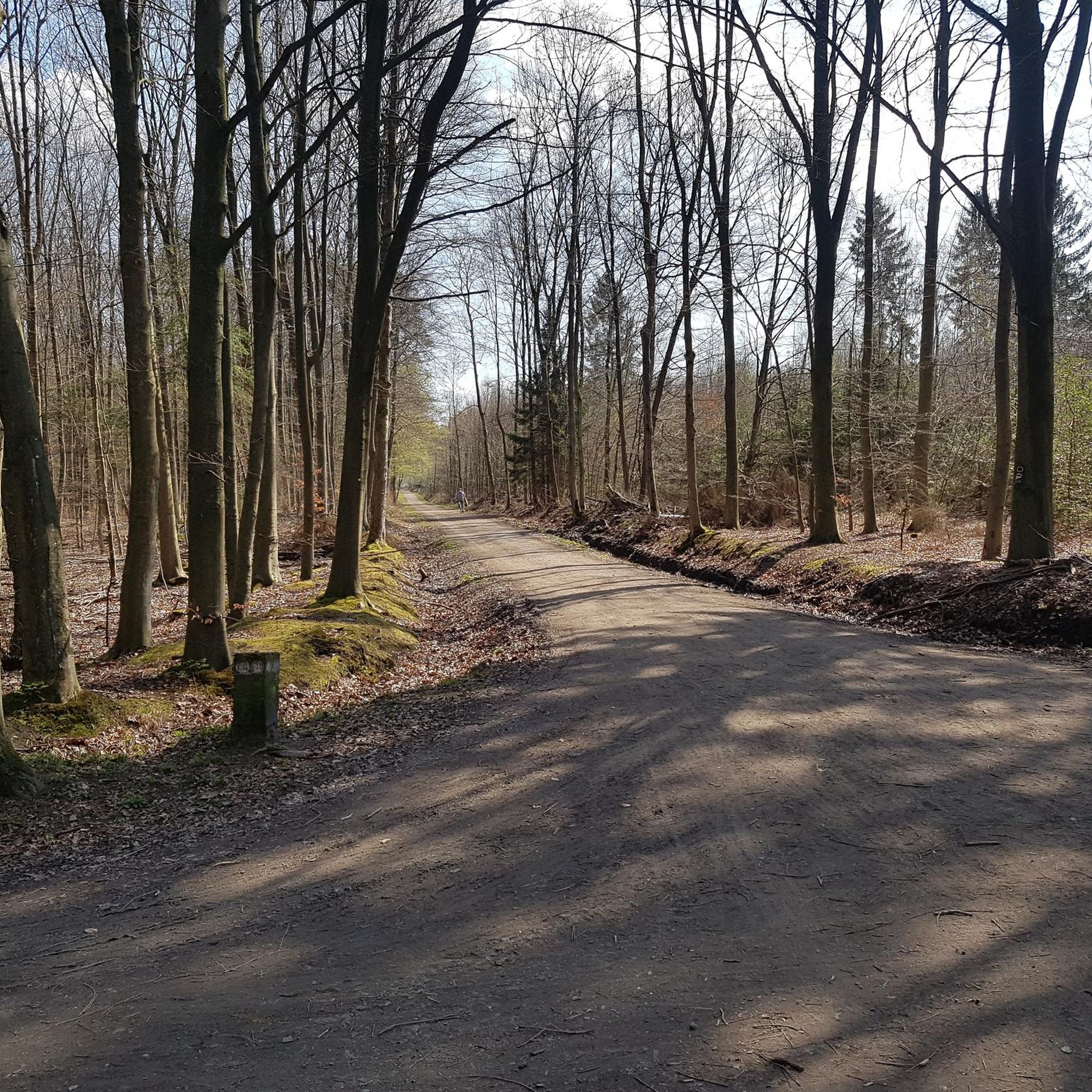
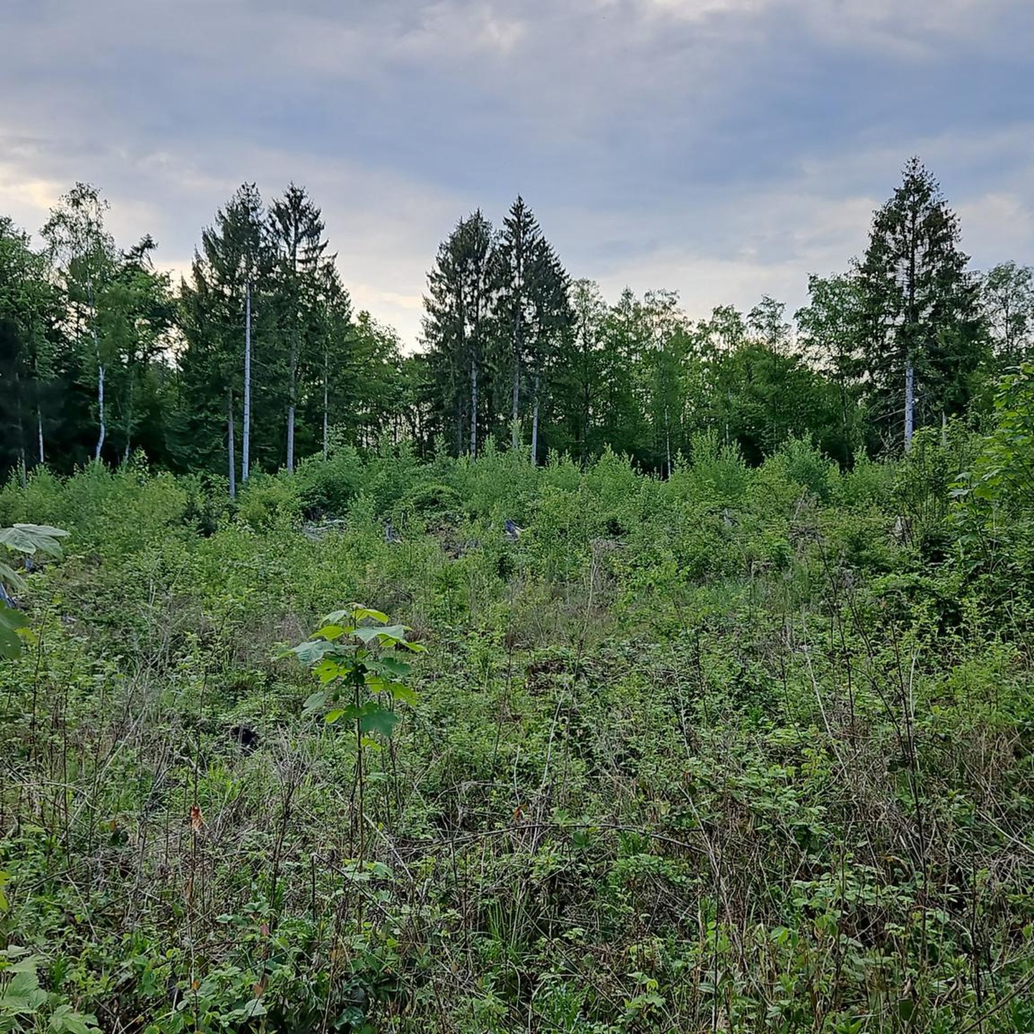
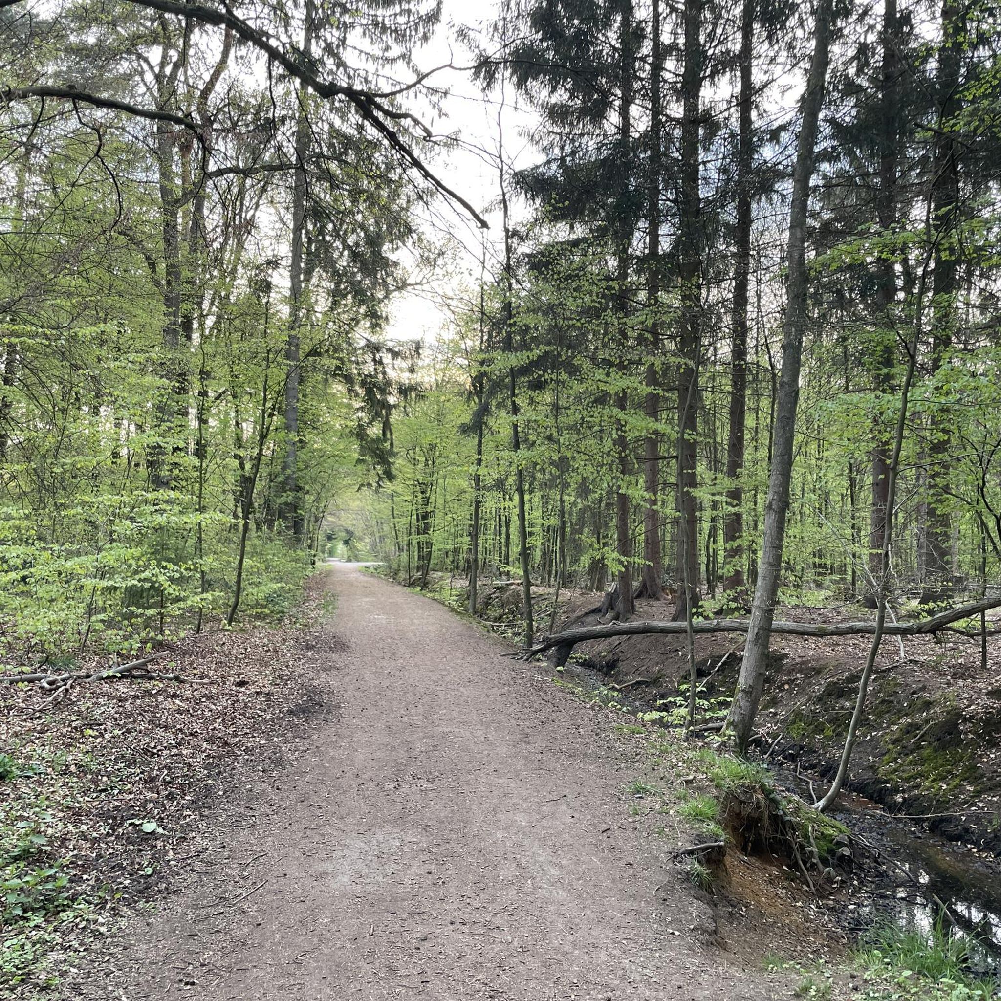
Tips from the Community

A station of the Corpus Christi procession in Ommerborn, which is known far beyond the local borders. From the hilltop, you have a good view over the Bergisches Land in good weather.
0
0
The distance is approximately 2 to 3 kilometers, depending on the exact route. The difference in altitude is roughly 150 to 200 meters, as the summit is located on a hill.
0
0

The section of Hofferhofer Straße down to Hoffnungsthal offers magnificent views of Cologne and to the south of the Siebengebirge hills and beyond to the Eifel region.
0
0
The Sülztalbahn was a historic railway line in the Bergisches Land region, running along the Sülz valley and representing an important connection for passenger and freight traffic, especially in the 19th and 20th centuries. It connected towns and villages around the Sülz valley, including Bergisch Gladbach, Rösrath, and Overath, to the wider rail network.
0
0


The route is very nice to drive. Not very busy, especially in the evening.
0
0

Here is a great panorama on the way to Hoffnungsthal.
0
0
Here you can roll well.
1
0
Frequently Asked Questions
How many road cycling routes are available in Schluchter Heide?
There are over 300 road cycling routes in the Schluchter Heide region, offering a wide range of options for different skill levels and preferences.
Are there road cycling routes suitable for beginners in Schluchter Heide?
Yes, Schluchter Heide offers numerous beginner-friendly road cycling routes. Approximately 70 routes are classified as easy, providing gentler terrain for those new to road cycling or looking for a relaxed ride.
What kind of terrain can I expect on road cycling routes around Schluchter Heide?
The region features varied terrain, including forested areas, open landscapes, and rolling hills. You'll find a mix of flatter sections and routes with more significant elevation changes, catering to both leisurely rides and more challenging training.
Are there challenging road cycling routes for experienced riders?
Absolutely. For experienced road cyclists seeking a challenge, there are over 40 difficult routes in Schluchter Heide. One notable option is the View of Altenberg Cathedral – Krommenohler Tunnel loop from Duckterath, which covers 69.4 miles (111.6 km) with significant elevation gain.
What are some scenic highlights or landmarks I can see along the road cycling routes?
Many routes offer scenic views and pass by interesting landmarks. For instance, the Wahner Heide road cycling route – Köln Bonn Airport Runway View loop from Duckterath provides views of Wahner Heide and the airport runway. You might also encounter natural features like the Small pond in Gierather Wald or the Hasselbachteich in Gierather Wald.
What is the typical duration for road cycling routes in Schluchter Heide?
Route durations vary significantly. Shorter, moderate routes like the Gut Asselborn – Serpentine Ascent to Spitze loop from Duckterath can take around 1 hour 48 minutes, while longer, more difficult routes can extend to over 5 hours, such as the View of Altenberg Cathedral – Krommenohler Tunnel loop from Duckterath.
Are there circular road cycling routes available?
Yes, many of the road cycling routes in Schluchter Heide are designed as loops, allowing you to start and finish at the same point. Examples include the Mutzbach Forest Road – View of Altenberg Cathedral loop from Duckterath and the Bensberg Palace – Serpentine Ascent to Spitze loop from Duckterath.
What do other road cyclists enjoy most about road cycling in Schluchter Heide?
The area is highly rated by the komoot community, with an average score of 4.4 stars from over 2200 reviews. Reviewers often praise the varied terrain, the mix of natural scenery, and the options for different ability levels, from moderate rides to more difficult routes with significant climbs.
What is the best season for road biking in Schluchter Heide?
While road cycling is enjoyable throughout the warmer months, spring and autumn often offer the most pleasant conditions with milder temperatures and beautiful scenery. Summer can also be excellent, though it's advisable to start earlier in the day to avoid the midday heat.
Are there any specific attractions or points of interest near the road cycling routes?
Beyond the routes themselves, you can explore various points of interest. For example, the Gierather Wood Gravel Path offers a different type of trail experience, and the Route of the Former Tram Line G provides a glimpse into local history.
What are the typical distances for road cycling routes in Schluchter Heide?
Route distances vary widely, from shorter rides of around 20-30 km to longer excursions exceeding 100 km. For example, the Gut Asselborn – Serpentine Ascent to Spitze loop from Duckterath is about 36.7 km, while the View of Altenberg Cathedral – Krommenohler Tunnel loop from Duckterath is 111.6 km.
Most popular routes around Schluchter Heide
Most popular attractions around Schluchter Heide

Get inspired with the komoot mobile app


Explore more
Browse the best Road cycling routes in other regions.
