The best walks and hikes around gmina Stara Kornica
5.0
(1)
18
hikers
4
hikes
Hiking around gmina Stara Kornica offers routes through a gently undulating plain, part of a Pleistocene morainic upland. The terrain is diversified by frontal moraines, kame hills, and extensive outwash plains, providing varied elevations. Sand plains with melt-out depressions and valleys filled with organic sediments are also characteristic features of the region. This landscape supports diverse hiking experiences across different natural formations.
Best hiking trails around gmina Stara Kornica
- The most popular hiking route is Storczykowa łąka loop from Łosice…
Last updated: July 11, 2026
5.0
(1)
4
hikers
4.35km
01:07
20m
20m
Easy hike. Great for any fitness level. Easily-accessible paths. Suitable for all skill levels.
3
hikers
9.76km
02:32
50m
50m
Moderate hike. Good fitness required. Mostly accessible paths. Sure-footedness required.

Sign up for free
4
hikers
2.02km
00:31
10m
10m
Easy hike. Great for any fitness level. Easily-accessible paths. Suitable for all skill levels.
2
hikers
5.33km
01:21
10m
10m
Easy hike. Great for any fitness level. Easily-accessible paths. Suitable for all skill levels.
2
hikers
5.82km
01:28
10m
10m
Easy hike. Great for any fitness level. Easily-accessible paths. Suitable for all skill levels.
Our route recommendations are based on thousands of hikes, rides, and runs completed by other people on komoot.
Start today with a free account
Your next adventure awaits.
Login or Signup


Tips from the Community

Fantastic view of the river from the escarpment. Easy access from the main road.
0
1

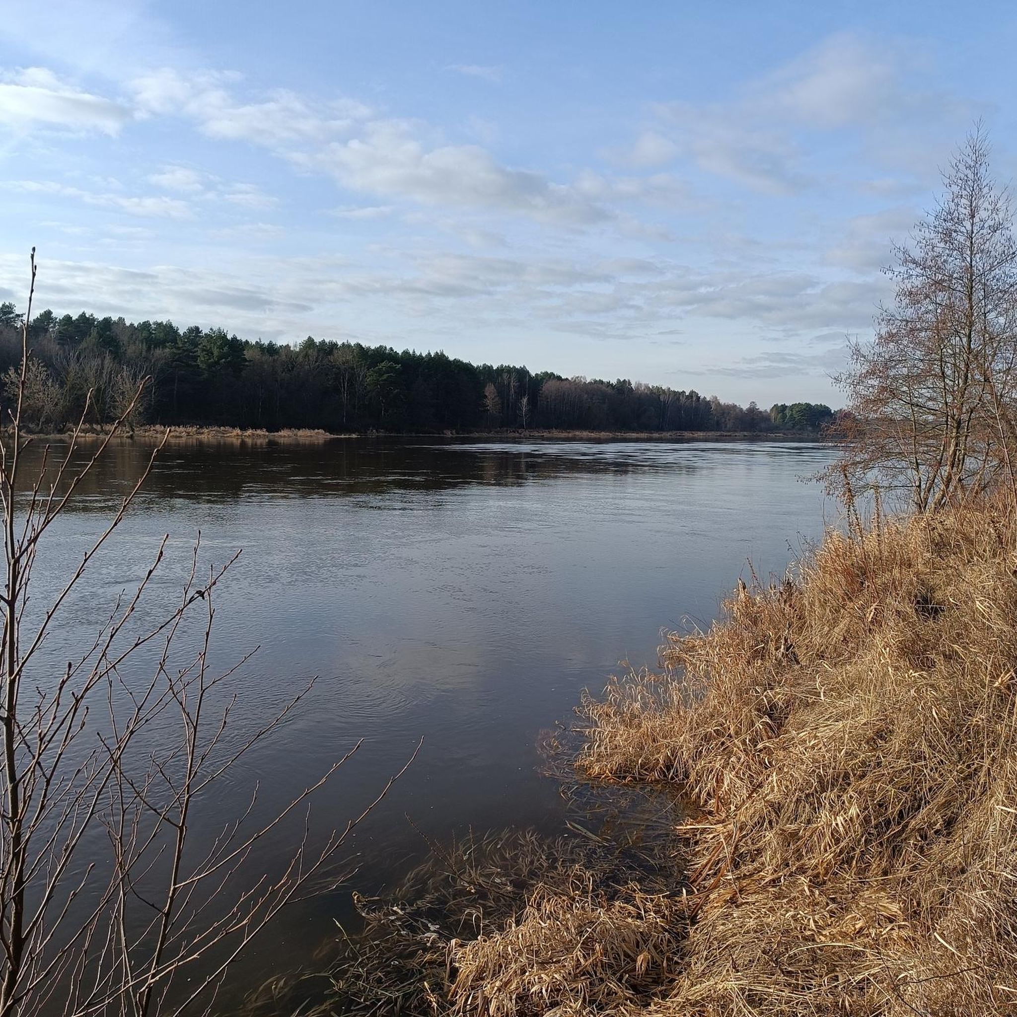
The vantage point is located on the steep bank of a 30-meter escarpment from which you can perfectly see the meandering Bug River and its wide valley. In the background we will also see vast meadows and pastures of Niemirów and in the distance on the hills the Mielnicka Forest. Quite steep and difficult descent. However, you can find many bird nests in the ground and troublesome wasp nests. The area is quiet and peaceful, it is a paradise for anglers.
2
0

There is a dirt road around the reservoir
0
0
A very well prepared reservoir for fishing. Fishing stands mowed. You can see the fish in abundance. More https://wedkuje.pl/l/witulin/25583
0
0
This is where the canoeing trip on the Bug looks great.
0
1

200meters from green velo route
0
1

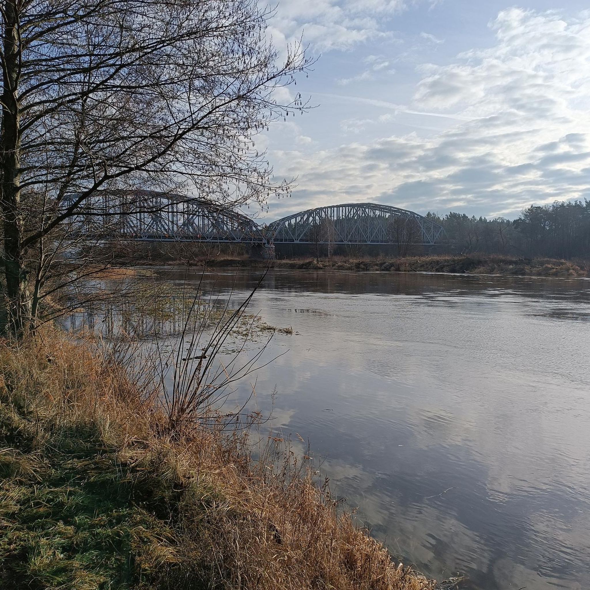
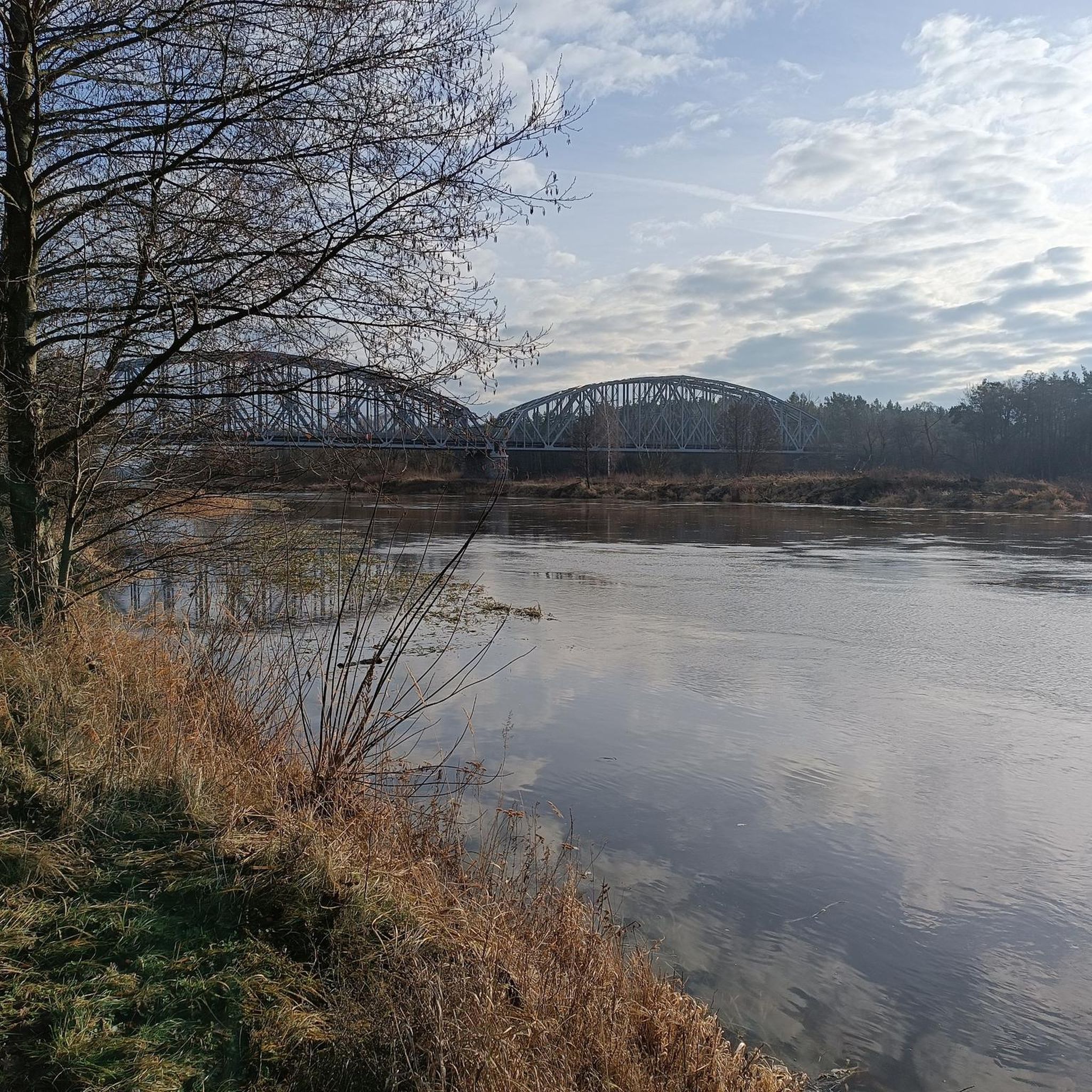
A beautiful place to stop and admire the clouds reflected in the river.
0
1
Frequently Asked Questions
What kind of terrain can I expect on hiking trails in Gmina Stara Kornica?
Hiking in Gmina Stara Kornica primarily features a gently undulating plain, which is part of a Pleistocene morainic upland. You'll encounter varied topography including frontal moraines, kame hills, eskers, and extensive outwash plains. The region also has sand plains with melt-out depressions and valleys filled with organic sediments, offering diverse natural formations.
Are there hiking trails suitable for beginners in Gmina Stara Kornica?
Yes, Gmina Stara Kornica offers several easy hiking routes perfect for beginners. For example, the Storczykowa łąka loop from Łosice is an easy 2.7-mile trail that takes just over an hour to complete, leading through characteristic plains.
Are there any moderate or challenging hikes available in the area?
While most trails are easy, there is at least one moderate option for those looking for a bit more challenge. The Zakole Bugu loop from Borsuki is a moderate 6.1-mile path that offers scenic views of the broader riverine landscape and varied terrain.
What natural features or landmarks can I see while hiking in Gmina Stara Kornica?
The region is rich in natural scenery and geological features. You can explore sand plains, morainic uplands, and areas with organic sediments. While hiking, you might also encounter natural chalk deposits east of Stara Kornica. For broader scenic views, the region offers glimpses of the River Bug bend, though it's a short distance away.
Are there any historical sites or points of interest near the hiking trails?
Yes, several historical and cultural points of interest can enhance your hiking experience. You can visit the Monument to the 1946 AK-WiN Battle near Kiełbaski, or explore historical churches like the Parish Church of the Immaculate Conception of the Blessed Virgin Mary in Stara Kornica. Other nearby attractions include the V-2 Rocket Monument in Sarnaki or the Basilica of Saints Peter and Paul in Leśna Podlaska.
What do other hikers enjoy most about hiking in Gmina Stara Kornica?
The area is highly rated by the komoot community, with an average score of 5.0 stars. Hikers often praise the diverse terrain, from undulating plains to sand plains, and the opportunities to experience varied natural formations. The peaceful atmosphere and accessible routes are also frequently highlighted.
Are there any circular hiking routes in Gmina Stara Kornica?
Yes, many of the trails in Gmina Stara Kornica are designed as loops, offering convenient circular routes. For example, the Hiking loop from Droblin is a 3.6-mile trail that takes you through sand plains and gentle uplands, returning to your starting point.
Is Gmina Stara Kornica suitable for family-friendly hikes?
Absolutely. The prevalence of easy routes and gently undulating terrain makes Gmina Stara Kornica an excellent choice for family-friendly hikes. Trails like the Storczykowa łąka loop from gmina Łosice are relatively short and have minimal elevation gain, making them enjoyable for all ages.
What is the best time of year to go hiking in Gmina Stara Kornica?
Gmina Stara Kornica is generally pleasant for hiking during spring, summer, and early autumn. These seasons offer mild temperatures and lush natural scenery. Spring brings blooming flora, while autumn showcases vibrant foliage across the plains and uplands.
Are there options for parking near the trailheads in Gmina Stara Kornica?
While specific parking facilities are not detailed for every trailhead, the region's rural nature often provides accessible parking options in or near villages where routes typically begin. It's advisable to check local signage or maps for designated parking areas when planning your hike.
Can I reach hiking trails in Gmina Stara Kornica using public transport?
Information on direct public transport links to specific trailheads is limited. However, Gmina Stara Kornica is located within the Mazowieckie Voivodeship, and regional bus services may connect to the main villages. For precise planning, it's recommended to consult local public transport schedules for routes to Stara Kornica or nearby towns like Łosice.
Are there any trails that offer views of water bodies or rivers?
Yes, the region offers opportunities to experience riverine landscapes. The Zakole Bugu loop from Borsuki, for instance, provides views of the broader River Bug bend, offering a scenic experience with water features.
Most popular attractions around gmina Stara Kornica

Get inspired with the komoot mobile app


