The best gravel rides around La Matanza De Acentejo
39
riders
10
rides
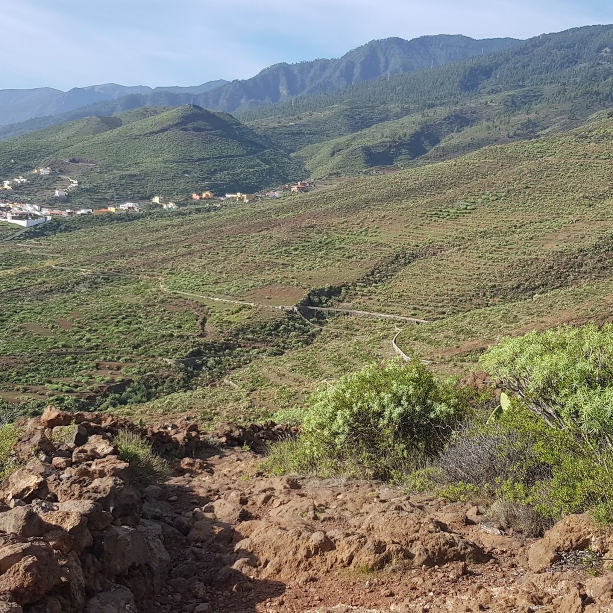
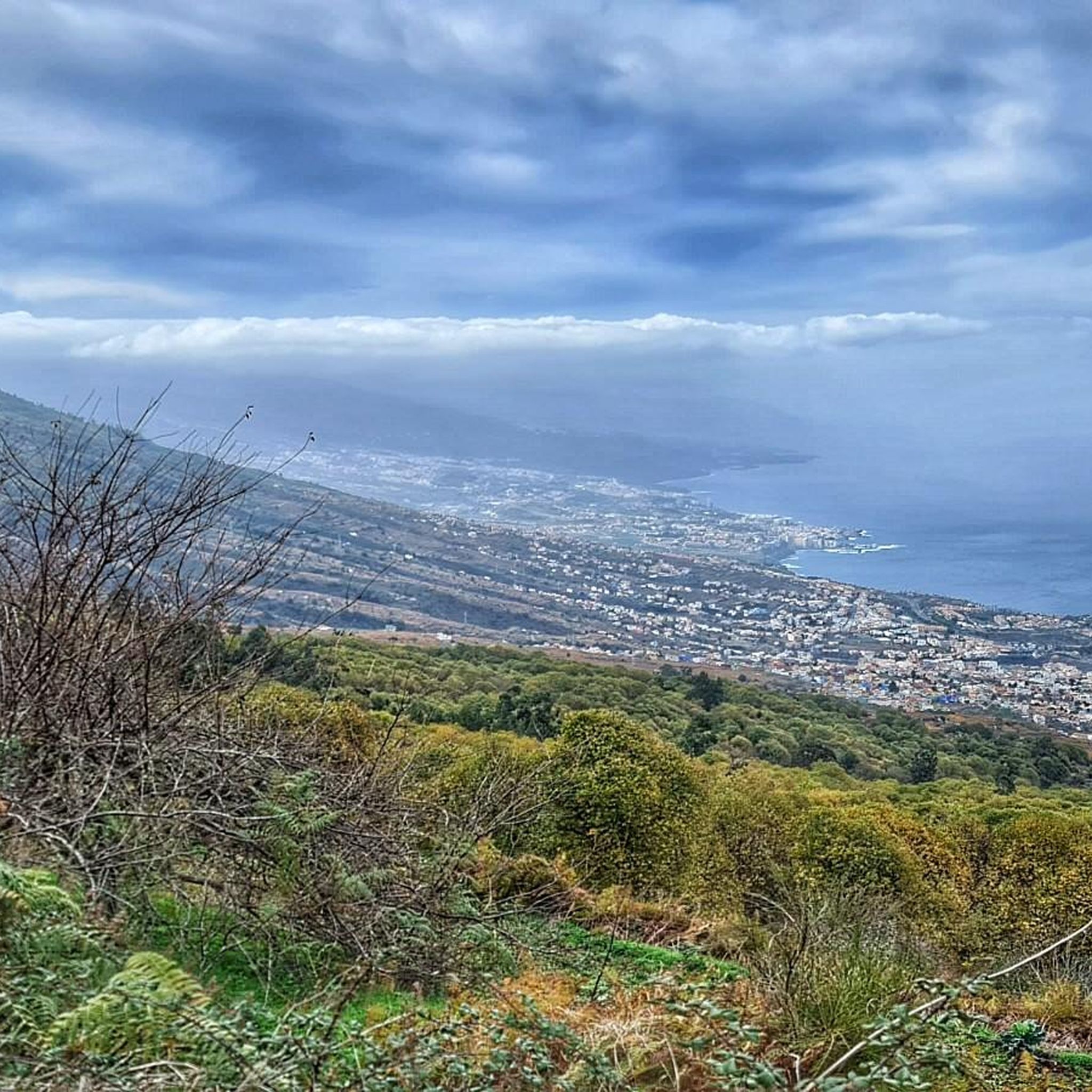
Gravel biking around La Matanza De Acentejo offers diverse terrain across the northeastern part of Tenerife. The region features an irregular relief with pronounced slopes, deep ravines, and mountainous areas, reaching up to Lomo del Jugo at 1,589 meters above sea level. Riders can explore lush forests, agricultural zones with vineyards and orchards, and protected natural areas like Las Lagunetas. This varied topography provides a range of challenges and scenic backdrops for gravel bike trails.
Best gravel bike trails around…
Last updated: September 6, 2026
5
riders
56.4km
05:58
1,950m
1,950m
Hard gravel ride. Very good fitness required. Mostly paved surfaces. Suitable for all skill levels.
5
riders
27.3km
02:42
710m
710m
Hard gravel ride. Very good fitness required. Mostly paved surfaces. Suitable for all skill levels.

Sign up for free
12
riders
31.0km
02:46
650m
650m
Hard gravel ride. Very good fitness required. Mostly paved surfaces. Suitable for all skill levels.
10
riders
22.3km
02:01
450m
450m
Hard gravel ride. Very good fitness required. Mostly paved surfaces. Suitable for all skill levels.
2
riders
9.45km
00:55
170m
170m
Moderate gravel ride. Good fitness required. Mostly paved surfaces. Suitable for all skill levels.
Get access to more routes and recommendations from other explorers.
Sign up for free
Already have an account?
Our route recommendations are based on thousands of hikes, rides, and runs completed by other people on komoot.
Start today with a free account
Your next adventure awaits.
Login or Signup
Tips from the Community

The chapel is located in Lomo La Jara. The hiking trail is called Pista Montana el Haya; it's a great hiking route that leads along here amidst beautiful nature 💚.
3
1

Very easy to drive forest path
0
0

The Las Raíces camping area has barbecue areas, benches and tables, restrooms, and even a water fountain.
0
0

Good road, partly traffic, pleasant gradient
0
0

It's an easy walk. Normally. The last third is still closed because of the major fire a few months ago and the clean-up work that is taking place. It's better to ask beforehand.
1
0


About halfway along the way, about 1000m, we paused at the small chapel “Cruz de Fume”. The residents probably make a pilgrimage here on May 3rd of the year to celebrate the Day of the Cross. Very inviting, with benches, numerous flowers and crosses. There are also numerous hiking trails crossing here. So be sure to take the right junction when you start walking again :-)
3
0

Popular stopping point for all hikes in the area. Simple, tasty and inexpensive typical food.
0
0
Frequently Asked Questions
How many gravel bike trails are available in La Matanza De Acentejo?
There are 7 gravel bike trails documented in this guide for La Matanza De Acentejo. These routes offer a variety of experiences across the region's diverse landscapes.
What kind of terrain can I expect on gravel bike trails in La Matanza De Acentejo?
Gravel biking in La Matanza De Acentejo features an irregular relief with pronounced slopes, deep ravines, and mountainous areas, reaching up to Lomo del Jugo at 1,589 meters above sea level. You'll encounter lush forests, agricultural zones with vineyards and orchards, and protected natural areas. The routes often involve challenging climbs and descents, providing a demanding yet rewarding experience.
Are there any circular gravel bike routes in the area?
Yes, several routes in La Matanza De Acentejo are circular. For example, you can explore the Forest double-track – View of Teide loop from La Orotava, which offers stunning views towards Mount Teide. Another option is the Montaña El Haya Trail – Cruz de Fune Chapel loop from Las Rosas, traversing mountainous terrain and dense forests.
What are some notable natural features or landmarks I might see along the gravel trails?
The region is rich in natural beauty. You might encounter protected landscapes like Las Lagunetas, known for its unique plant species like Lotus Vine, and the Monte de La Esperanza Nature Park. The trails often pass through lush forests, vineyards, and orchards. For specific points of interest, consider visiting the Cloud Forest of La Orotava Valley or the La Caldera Recreation Area.
Are there any easy or family-friendly gravel bike trails in La Matanza De Acentejo?
Most gravel routes in La Matanza De Acentejo are rated as difficult due to the region's mountainous terrain and significant elevation changes. However, there is one moderate route: the Las Aguilillas Forest Track – Forest double-track loop from Zona Recreativa Las Calderetas. This shorter loop offers a less strenuous option, though it still involves some elevation.
What is the best time of year for gravel biking in La Matanza De Acentejo?
Tenerife generally enjoys a mild climate year-round. However, the varied topography of La Matanza De Acentejo means weather can change with elevation. Spring and autumn often provide the most comfortable temperatures for cycling. Always check local weather forecasts, especially for higher elevations, before heading out.
Are permits required for gravel biking, especially in protected natural areas?
La Matanza De Acentejo is home to significant protected landscapes, such as Las Lagunetas and Costa de Acentejo. While general cycling on established trails is usually permitted, it's advisable to check with local authorities or park information centers for any specific permit requirements or restrictions when planning to cycle within designated protected natural areas to ensure compliance.
Where can I find parking for gravel bike trails in La Matanza De Acentejo?
While specific parking areas for each trailhead are not detailed, many routes start from or pass near villages and recreation areas where parking might be available. For example, the Las Aguilillas Forest Track – Forest double-track loop starts from Zona Recreativa Las Calderetas, which typically offers parking facilities.
What kind of views can I expect on the gravel bike routes?
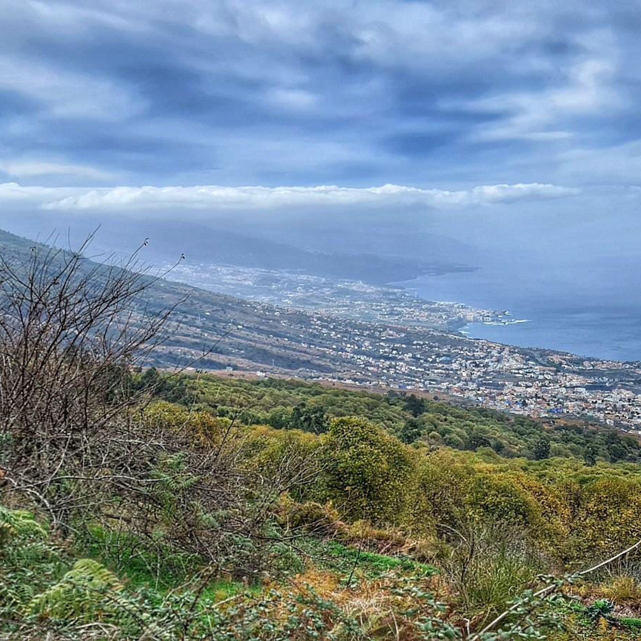
The gravel routes in La Matanza De Acentejo offer breathtaking views. Due to the region's elevation, many trails provide panoramic vistas of the surrounding landscapes, including lush forests, agricultural valleys, and often stunning views of the ocean and the majestic Mount Teide. The Forest double-track – View of Teide loop from La Orotava is particularly known for its Teide views.
Are there any interesting caves or geological features to explore near the trails?
Yes, the volcanic nature of Tenerife means there are several interesting caves and geological formations nearby. You can find highlights such as the Agua García Caves or a Lava tube cave in the Las Lagunetas Protected Landscape. These offer a glimpse into the island's unique geological history.
What do other gravel bikers enjoy most about La Matanza De Acentejo?
Gravel bikers frequently praise the diverse and challenging terrain, the stunning views of both the ocean and Mount Teide, and the opportunity to explore lush forests and protected natural areas. The blend of exhilarating rides and breathtaking scenery makes it a highly regarded destination for those seeking an adventurous gravel biking experience.
Most popular routes around La Matanza De Acentejo
Most popular attractions around La Matanza De Acentejo

Get inspired with the komoot mobile app


Explore more
Browse the best Gravel rides in other regions.
