The best gravel rides around Cáñar
4.3
(6)
29
riders
5
rides
Gravel biking around Cáñar offers diverse landscapes within Ecuador's Andes. The region is characterized by undulating Andean terrain, featuring rolling mountains and deep valleys that provide varied conditions for cycling. Lush valleys and hills create a backdrop for routes that traverse natural features and historical sites. The terrain includes significant elevation changes, suitable for challenging gravel bike trails.
Best gravel bike trails around Cáñar
- The most popular gravel bike trail is View of Béznar Reservoir – Restábal Village loop from…
Last updated: July 6, 2026
5.0
(2)
8
riders
71.7km
05:35
1,740m
1,740m
Hard gravel ride. Very good fitness required. Mostly paved surfaces. Suitable for all skill levels.
4
riders
27.6km
02:22
900m
900m
Hard gravel ride. Very good fitness required. Mostly paved surfaces. Suitable for all skill levels.

Sign up for free
2
riders
21.2km
01:54
580m
580m
Hard gravel ride. Very good fitness required. Mostly paved surfaces. Suitable for all skill levels.
2.0
(1)
4
riders
60.3km
05:13
1,680m
1,680m
Hard gravel ride. Very good fitness required. Mostly paved surfaces. Suitable for all skill levels.
2
riders
54.1km
04:07
1,520m
1,520m
Hard gravel ride. Very good fitness required. Mostly paved surfaces. Suitable for all skill levels.
Our route recommendations are based on thousands of hikes, rides, and runs completed by other people on komoot.
Start today with a free account
Your next adventure awaits.
Login or Signup

Tips from the Community

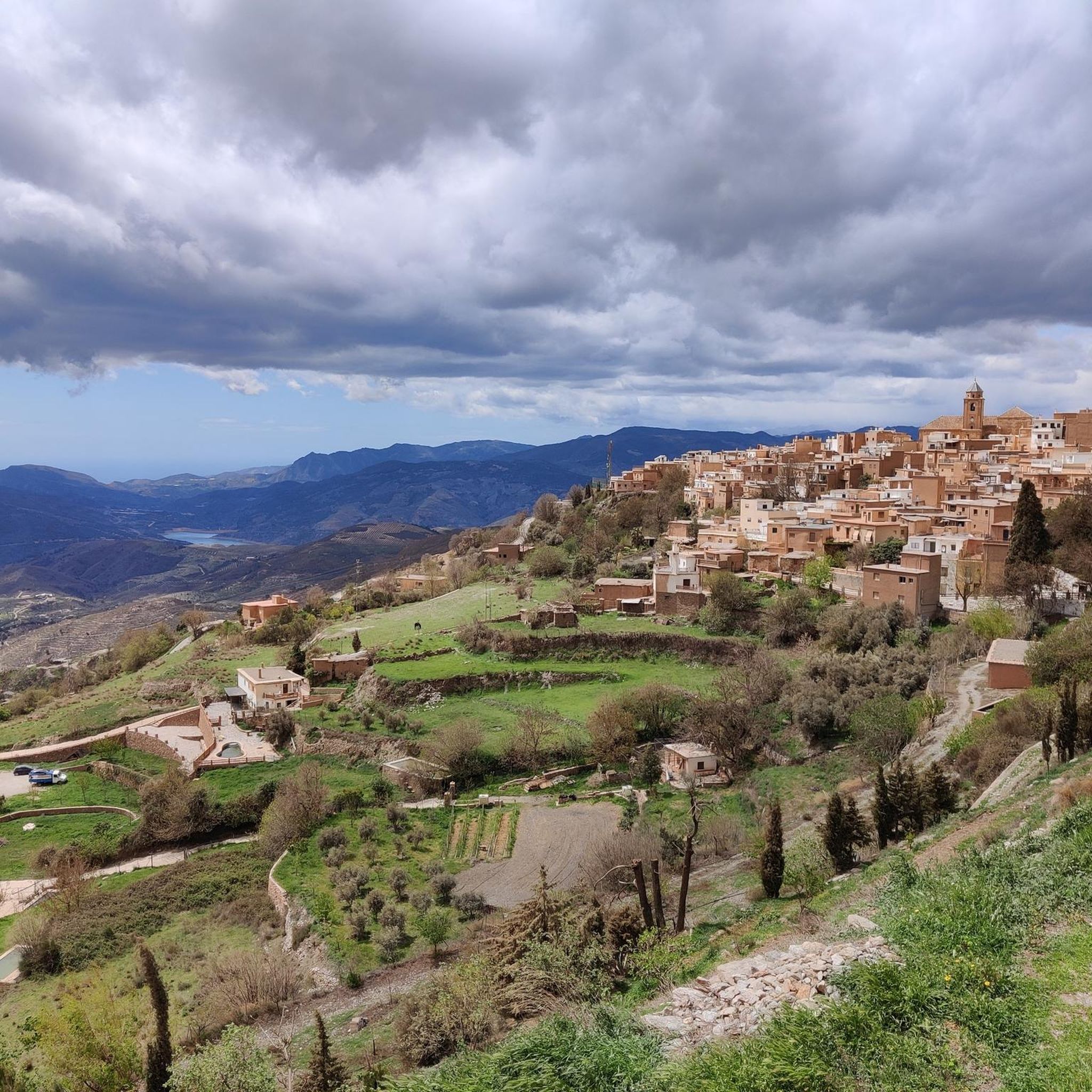
Órgiva is a charming Spanish municipality located in the province of Granada, in Andalusia, and is historically considered the capital and administrative center of the western Alpujarra. This town of about 6,000 inhabitants stands at an altitude of 450 meters in the fertile valley of the Guadalfeo River, right at the foot of the Sierra Nevada Natural Park.
0
0

Legendary fountain of Pampaneira. According to the text found there, a bachelor who drinks from it with the intention of getting married would not fail.
0
0

The municipality of Órgiva is part of the Sierra Nevada Natural Park and is located on its southern slopes. Known as the capital of the Alpujarra region of Granada, it is an ideal destination for combining culture, nature, and gastronomy.
11
0
What to see in Pampaneira Liberty Square The town's central hub, with bars, craft shops, and the tourist office. Church of the Holy Cross Built in the Mudéjar style in the 16th century on the site of a former mosque. Fountain of Saint Anthony ("La Chumpaneira") Famous for its legend: whoever drinks from it will find a partner. It's located next to the church. Traditional streets Such as Silence Street or Veronica Street, with Berber architecture, covered walkways, and terraced roofs. Chocolate Factory A delightful place to visit and buy handcrafted products.
6
0
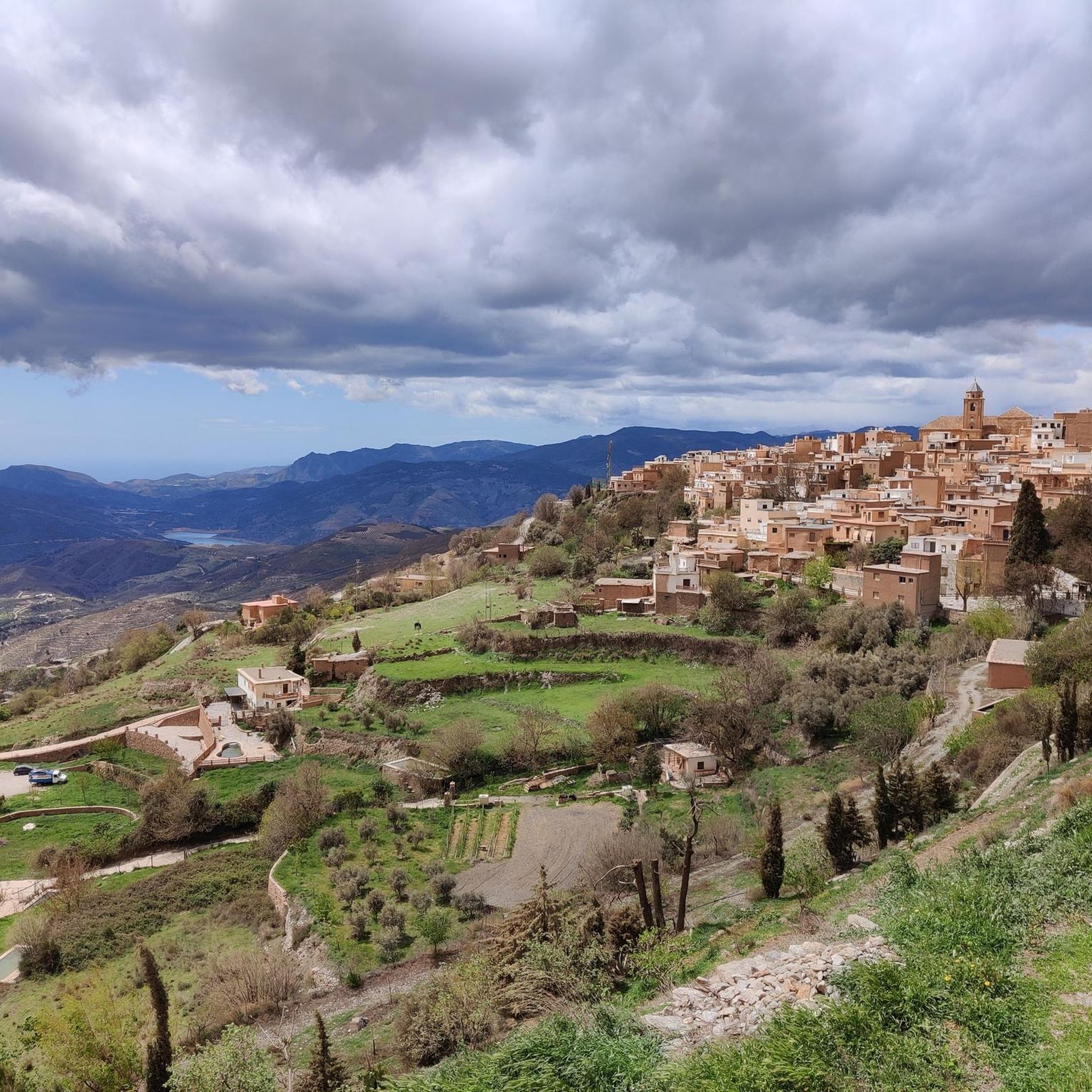
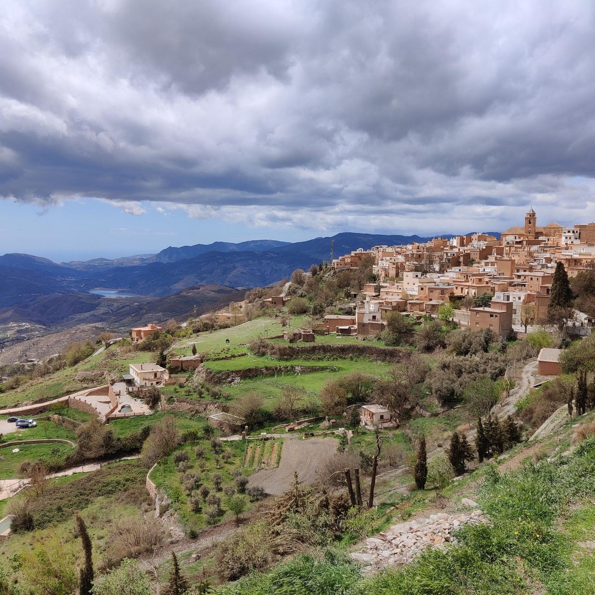
Pampaneira, located in the heart of the Alpujarra region of Granada, is one of the most beautiful villages in Spain. Surrounded by the Poqueira Gorge and next to Bubión and Capileira, it offers a unique experience of traditional architecture, nature, crafts, and gastronomy.
6
0


The Talará fountain is located next to the church. It has water and is perfect for refilling your water bottles.
1
0

Laundry in Pinos del Valle.
0
0
Frequently Asked Questions
How challenging are the gravel bike trails in Cáñar?
The gravel biking routes in Cáñar are generally considered challenging due to the region's undulating Andean terrain, featuring significant elevation changes, rolling mountains, and deep valleys. All routes listed in this guide are rated as difficult, offering substantial climbs and descents through varied landscapes.
Are there any circular gravel bike routes available in Cáñar?
Yes, Cáñar offers several excellent circular gravel bike routes. For example, you can explore the View of Béznar Reservoir – Restábal Village loop from Lecrín, a 13.6-mile (21.9 km) trail with significant elevation gain. Another popular option is the Pampaneira Village – Órgiva loop from Lanjarón, a longer 37.9-mile (61.0 km) path with substantial climbs. The Torvizcón – Órgiva loop from Órgiva also provides a challenging 32.5-mile (52.3 km) ride through mountainous terrain.
What kind of natural features can I expect to see while gravel biking in Cáñar?
Cáñar's gravel routes traverse a landscape rich in natural beauty. You'll encounter lush valleys, rolling hills, and the typical Andean páramo vegetation. Notable natural attractions include the stunning Lanjarón River Waterfall, and various viewpoints like Tajos del Ángel Viewpoint and Pico Veleta viewpoint, offering panoramic views of the Andean landscape. The region also features high-altitude areas near Culebrillas Lake, surrounded by páramo.
Are there any historical or cultural landmarks along the gravel trails in Cáñar?
Absolutely. Cáñar is rich in cultural heritage. While gravel biking, you can explore parts of the ancient Qhapaq Ñan (Inca Trail), a UNESCO World Heritage Site. The region is also home to the Ingapirca Ruins, Ecuador's largest and best-preserved archaeological site, which includes an elliptical ceremonial temple. The dramatic Biblián Church, perched on a hilltop, is another significant landmark that can be incorporated into your routes.
What is the best time of year to go gravel biking in Cáñar?
Cáñar benefits from a cool climate year-round, making it suitable for gravel biking in most seasons. The undulating Andean terrain means conditions can vary, but generally, the comfortable temperatures allow for extended rides. Always check local weather forecasts before heading out, especially for higher elevations where conditions can change rapidly.
What do other gravel bikers enjoy most about the trails in Cáñar?
The gravel biking experience in Cáñar is highly rated by the komoot community, with an average score of 4.0 stars. Riders often praise the challenging ascents and descents, the diverse Andean landscapes, and the opportunity to combine physical activity with cultural discovery, such as exploring ancient Inca trails and historical sites.
Are there any family-friendly gravel biking options in Cáñar?
Given the challenging nature of the terrain in Cáñar, with all routes in this guide rated as difficult and featuring significant elevation changes, most trails are better suited for experienced gravel bikers. Families with younger children or those seeking gentler rides might find these routes too demanding. It's advisable to thoroughly review route profiles for elevation and distance before planning a family outing.
Can I bring my dog on the gravel biking trails in Cáñar?
While many outdoor areas in Ecuador are dog-friendly, specific regulations for bringing dogs on gravel biking trails in Cáñar can vary, especially in protected natural areas or archaeological sites. It's always best to check local signage or contact regional tourism offices regarding pet policies for the specific routes you plan to ride to ensure a smooth and enjoyable experience for both you and your dog.
Where can I find parking for gravel biking routes in Cáñar?
Parking availability for gravel biking routes in Cáñar typically varies by starting point. For routes that begin or pass through towns like Órgiva or Lecrín, you can often find public parking areas. For more remote trailheads, roadside parking might be available. It's recommended to check the specific route details on komoot for suggested starting points and any available parking information.
Are there any facilities or huts available along the trails for breaks?
Yes, there are some facilities and huts in the broader region that could be accessible from certain gravel routes. For instance, you might find places like the Carihuela Bivouac Shelter or the Laguna del Caballo Refuge, particularly in higher mountain areas. Additionally, the Huerta de las Monjas Recreation Area offers facilities. It's always wise to plan your route to include these stops if needed and carry sufficient supplies as facilities can be sparse in remote sections.
What is the longest gravel bike route recommended in this guide?
The longest gravel bike route highlighted in this guide is the Pampaneira Village – Órgiva loop from Lanjarón. This challenging path covers a distance of 37.9 miles (61.0 km) and includes substantial climbs through the varied Andean landscapes, typically taking around 6 hours and 13 minutes to complete.
Can I reach the gravel biking areas using public transport?
Accessing gravel biking areas in Cáñar via public transport can be challenging, especially for trailheads in more remote locations. Major towns like Cañar itself or Azogues may have bus services, but connecting to specific starting points for gravel routes often requires local taxis or private transport. It's advisable to research public transport options to your chosen starting point in advance and consider how to transport your bike.
Most popular attractions around Cáñar

Get inspired with the komoot mobile app


Explore more
Browse the best Gravel rides in other regions.
