The best road cycling routes around Cáñar
4.9
(70)
5,865
riders
30
rides
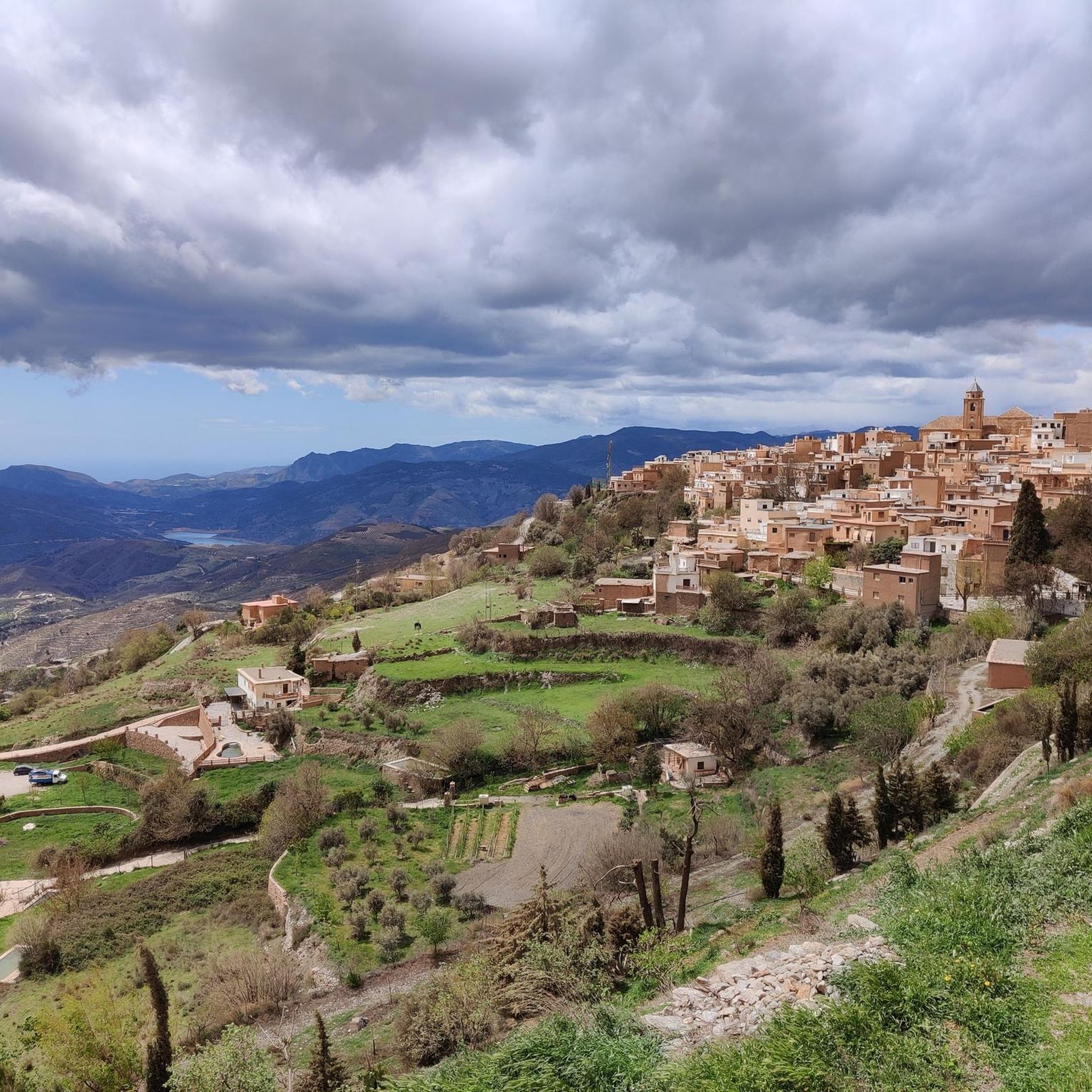
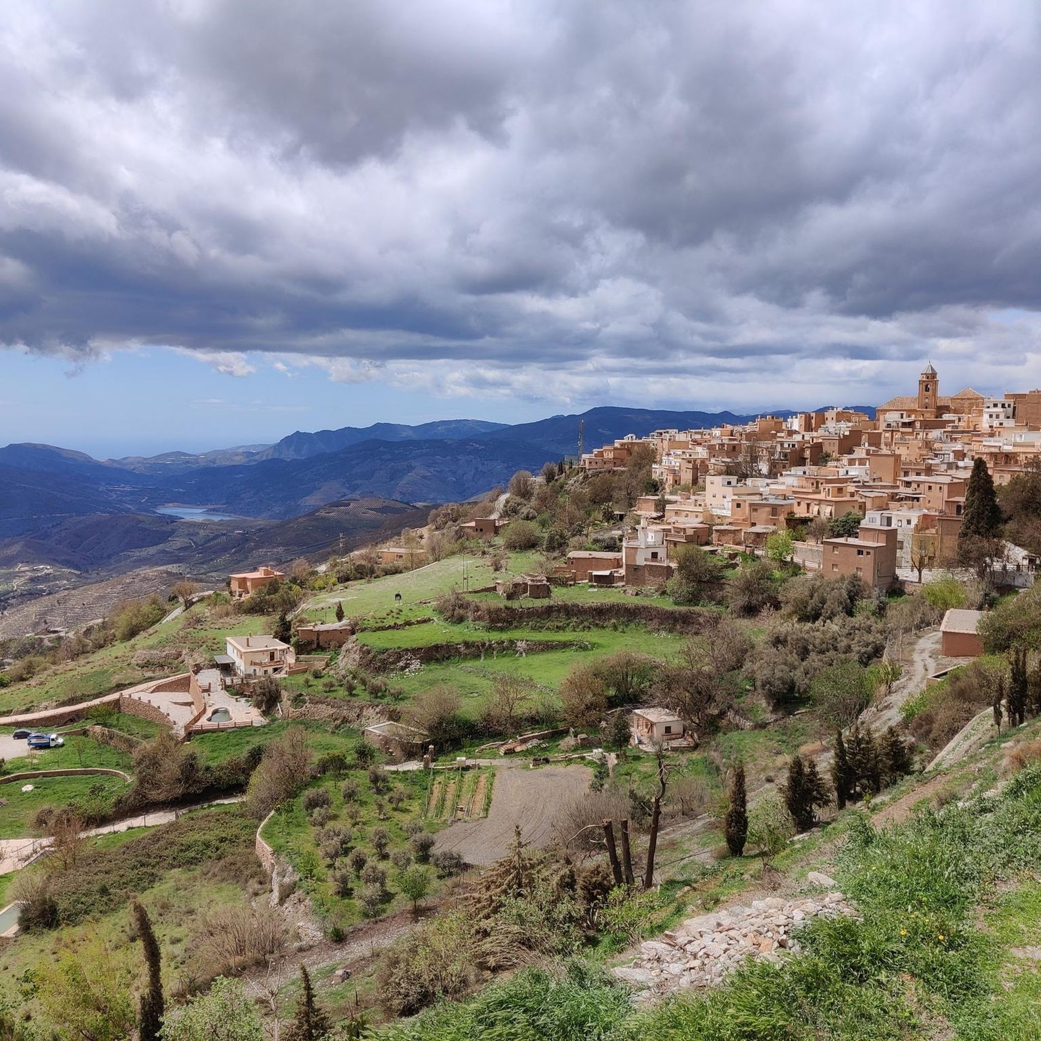
Road cycling routes around Cáñar are characterized by the mountainous terrain of the Alpujarras region, featuring significant elevation changes and panoramic views. The landscape includes deep valleys, hills, and routes that pass by reservoirs like the Rules Dam. Road cyclists can expect challenging climbs and descents through a mix of agricultural areas and more rugged, natural environments.
Best road cycling routes around Cáñar
- The most popular road cycling route is Nazari Bridge of Tablate – Views of the Rules Dam…
Last updated: July 5, 2026
5.0
(2)
121
riders
71.0km
04:09
1,750m
1,760m
Hard road ride. Very good fitness required. Mostly well-paved surfaces and easy to ride.
5.0
(4)
118
riders
52.0km
03:17
1,520m
1,530m
Hard road ride. Very good fitness required. Mostly well-paved surfaces and easy to ride.

Sign up for free
102
riders
80.7km
04:37
1,870m
1,870m
Hard road ride. Very good fitness required. Mostly well-paved surfaces and easy to ride.
5.0
(2)
45
riders
51.9km
02:48
1,060m
1,060m
Hard road ride. Very good fitness required. Mostly well-paved surfaces and easy to ride.
5.0
(2)
42
riders
20.3km
01:03
360m
360m
Moderate road ride. Good fitness required. Mostly well-paved surfaces and easy to ride.
Get access to more routes and recommendations from other explorers.
Sign up for free
Already have an account?
Our route recommendations are based on thousands of hikes, rides, and runs completed by other people on komoot.
Start today with a free account
Your next adventure awaits.
Login or Signup


Tips from the Community

Órgiva is a charming Spanish municipality located in the province of Granada, in Andalusia, and is historically considered the capital and administrative center of the western Alpujarra. This town of about 6,000 inhabitants stands at an altitude of 450 meters in the fertile valley of the Guadalfeo River, right at the foot of the Sierra Nevada Natural Park.
0
0

The municipality of Órgiva is part of the Sierra Nevada Natural Park and is located on its southern slopes. Known as the capital of the Alpujarra region of Granada, it is an ideal destination for combining culture, nature, and gastronomy.
11
0

The Talará fountain is located next to the church. It has water and is perfect for refilling your water bottles.
1
0

A stunning area for cycling
0
1
A tough climb with a cafe at the top
1
0
Jamon Jamon, find it in Trevelez
0
0

A great place to relax. You can take homemade wine and a piece of cake. You can also go higher!
0
0
Frequently Asked Questions
Are there easy road cycling routes suitable for beginners around Cáñar?
Road cycling routes around Cáñar are primarily characterized by significant elevation changes and challenging climbs, typical of the mountainous Alpujarras region. There are no routes classified as easy; all available routes are either moderate or difficult, making them more suitable for experienced cyclists.
What kind of elevation changes can I expect on road cycling routes near Cáñar?
The routes around Cáñar feature substantial elevation gains, reflecting the mountainous terrain. For example, the Nazari Bridge of Tablate – Views of the Rules Dam loop from Carataunas involves over 1,380 meters of ascent, while the Órgiva – View of the Alpujarras Valleys loop from Órgiva climbs over 1,750 meters. Cyclists should be prepared for demanding ascents and descents.
Are there any circular road cycling routes in the Cáñar area?
Yes, many of the road cycling routes around Cáñar are designed as loops. Popular options include the Órgiva – Views of the Rules Dam loop from Órgiva, which offers extensive views of the reservoir, and the Órgiva – Puerto de Haza del Lino loop from Órgiva, providing a challenging circular experience through the region.
What are some scenic viewpoints or landmarks to look out for on road cycling routes?
Many routes offer panoramic views of the Alpujarras valleys and reservoirs. You can find stunning vistas at the Tajos del Ángel Viewpoint or the Pico Veleta viewpoint. The historic Nazari Bridge of Tablate is also a notable landmark on some routes, such as the Nazari Bridge of Tablate – Views of the Rules Dam loop from Carataunas.
What do other road cyclists enjoy most about road cycling in Cáñar?
The road cycling experience in Cáñar is highly rated by the komoot community, with an average score of 4.8 stars from over 100 reviews. Cyclists frequently praise the challenging climbs, the panoramic views of the Rules Dam and Alpujarras valleys, and the mix of agricultural and natural environments encountered along the routes.
Are there any waterfalls visible from road cycling routes near Cáñar?
While the region is mountainous, one notable waterfall nearby is the Lanjarón River Waterfall. While not directly on a road cycling route, it's an attraction in the broader area that cyclists might consider visiting.
What is the best time of year for road cycling in Cáñar?
Given the mountainous terrain of the Alpujarras, spring and autumn generally offer the most pleasant conditions for road cycling, with milder temperatures. Summer can be very hot, especially at lower elevations, while winter may bring colder temperatures and potential for snow at higher altitudes, particularly in the Sierra Nevada.
How many road cycling routes are available around Cáñar?
There are over 30 road cycling routes available around Cáñar, offering a variety of moderate to difficult challenges. These routes are well-regarded by the komoot community, with thousands of cyclists having explored the area.
Are there any particularly challenging road cycling routes for experienced riders?
Cáñar is known for its challenging routes. The Monachil – Nazari Bridge of Tablate loop from Órgiva is a particularly demanding option, covering over 172 kilometers with more than 3,300 meters of elevation gain, making it suitable for very experienced cyclists seeking a significant challenge.
What natural monuments or peaks can be seen from the road cycling routes?
The region offers views of impressive natural features. From various points, you might catch glimpses of the majestic Mulhacén Summit or the Alto del Chorrillo, both prominent peaks in the Sierra Nevada. The routes also pass through deep valleys and offer views of the Rules Dam.
Are there any routes that offer views of the Rules Dam?
Yes, several routes provide extensive views of the Rules Dam. The Nazari Bridge of Tablate – Views of the Rules Dam loop from Carataunas and the Órgiva – Views of the Rules Dam loop from Órgiva are two excellent options specifically designed to showcase this impressive reservoir.
Most popular attractions around Cáñar

Get inspired with the komoot mobile app


Explore more
Browse the best Road cycling routes in other regions.
