The best mountain hikes in the Coast Mountains
5.0
(2)
40
hikers
3
hikes
Mountaineering routes in the Coast Mountains traverse a vast range characterized by extensive icefields, rugged granite peaks, and deep fjords. This region, stretching from southwestern Yukon through British Columbia, features diverse terrain from lush rainforests to high alpine environments. The landscape offers challenging ascents and glacier travel opportunities, with significant elevation changes and remote wilderness areas.
Best mountaineering routes in the Coast Mountains
- The most popular mountaineering route is The Barrier loop from Rubble Creek, a 17.7 miles (28.5 km) trail that takes 9 hours 48 minutes to complete, offering substantial elevation gain through varied terrain.
- Another top favourite among local mountaineers is Stawamus Chief 2nd Peak – Stawamus Chief 1st Peak loop from Shannon Falls Provincial Park, a difficult 3.7 miles (5.9 km) path, known for its steep granite ascents and panoramic views.
- Local mountaineers also love the Lesser Garibaldi Lake – Barrier Lake loop from Skookumchuck, a 12.3 miles (19.7 km) trail leading through glaciated valleys and alpine lakes, often completed in about 6 hours 48 minutes.
- Mountaineering in the Coast Mountains is defined by extensive icefields, rugged peaks, and deep valleys. The region offers options for experienced mountaineers seeking challenging ascents and wilderness exploration.
- The routes in Coast Mountains are highly rated by the komoot community with an average score of 4.5 stars from a few reviews. More than 30 mountaineers have used komoot to explore Coast Mountains's varied terrain.
Last updated: October 17, 2026
12
hikers
19.6km
06:46
1,090m
1,090m
Hard mountaineering route. Very good fitness required. Easily-accessible paths. Suitable for all skill levels.
5.0
(2)
12
hikers
Hard mountaineering route. Good fitness required. Sure-footedness, sturdy shoes and alpine experience required.

16
hikers
20.2km
06:55
1,090m
1,090m
Hard mountaineering route. Very good fitness required. Easily-accessible paths. Suitable for all skill levels.
Our route recommendations are based on thousands of hikes, rides, and runs completed by other people on komoot.
Start today with a free account
Your next adventure awaits.
Popular around Coast Mountains
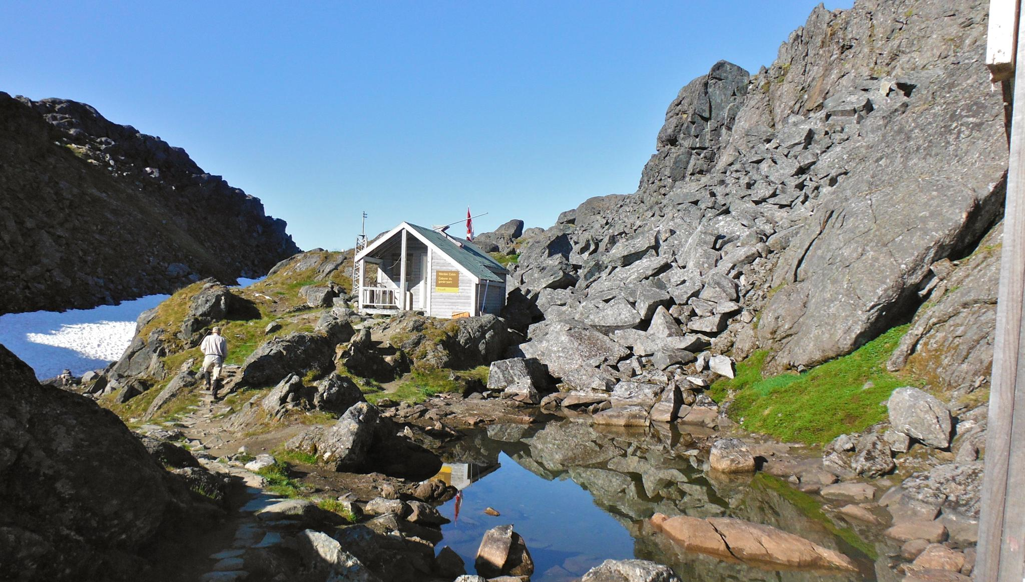
The Chilkoot Trail — Gold Rush history among soaring mountains
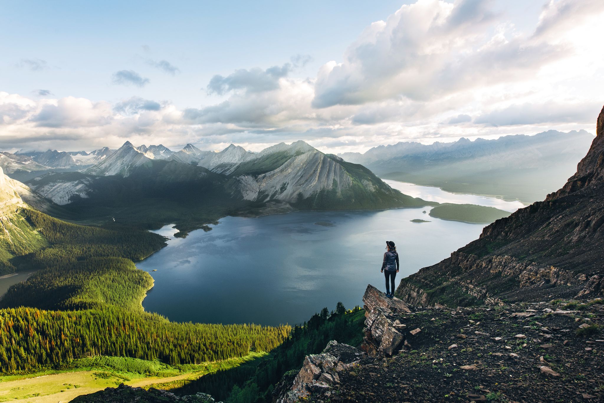
Long-distance hiking in Canada – between mountains and coast

Cross Canada Ride — heading east for 6,800km

BC Epic 1000

Around the World in 80 Days

Vancouver roundtrip — Bikepacking British Columbia
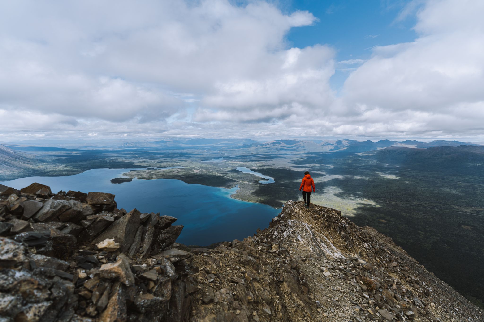
The Yukon, larger than life – hiking in the Canadian Great North

Canada by train – scenic hikes from Western stations
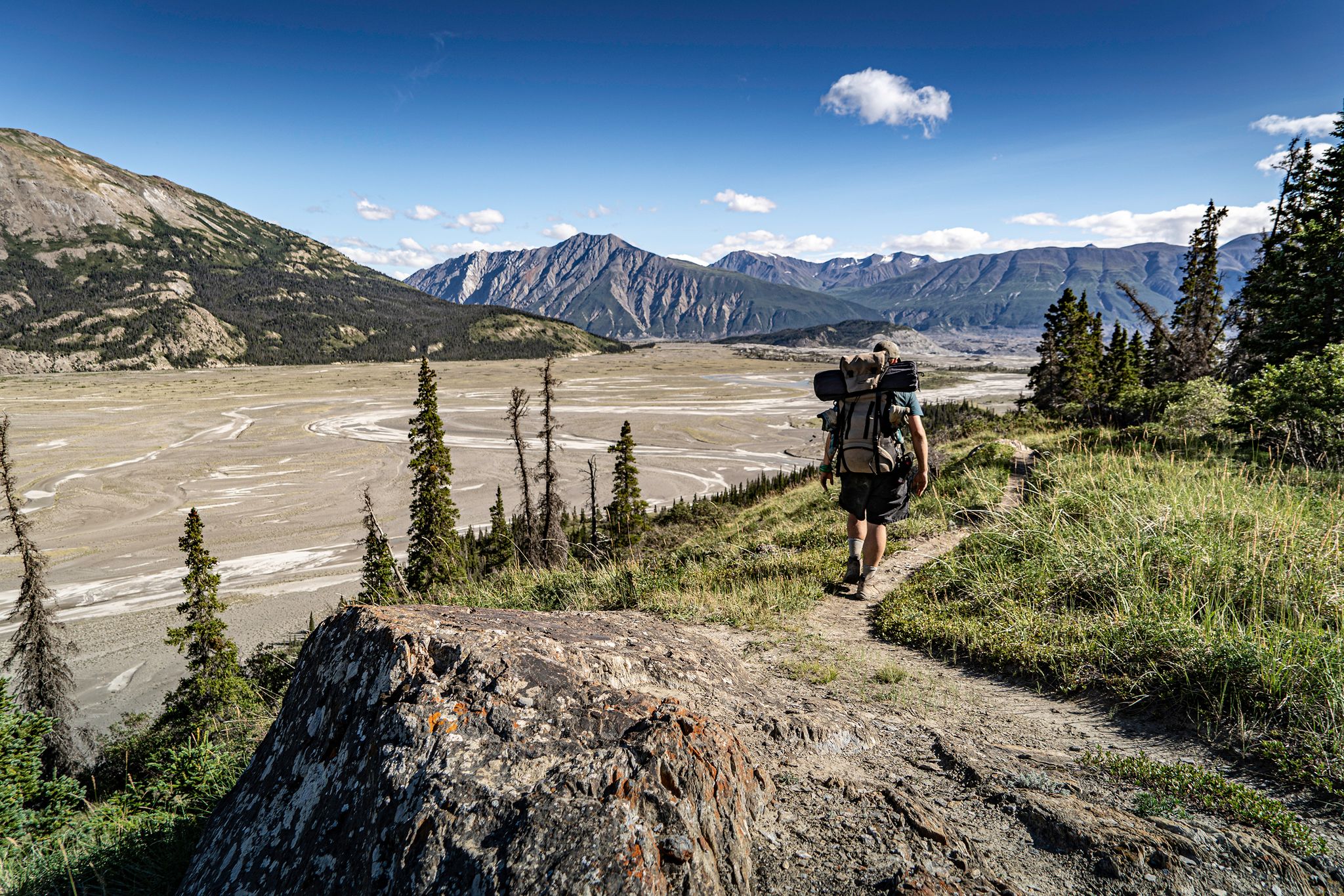
Adventure Yukon – stunning hikes on your road trip

Pacific charm and peak happiness in British Columbia
Other adventures in the Coast Mountains


Tips from the Community

This small, beautiful waterfall is accessed via a short, but steep hike on the Chief Peaks Trail. You can use this as a rest point for a longer hike into the mountains or as your destination and turn around point for a shorter, out and back hike.
0
0

The direct route from the parking lot to Garibaldi Lake is easily doable even in early May, as the snow on the trails is already packed. Before that, we hiked up to Panaroma Ridge, which is almost impossible without snowshoes or something similar at this time of year (1.80 meters of snow), but at least you're completely alone there.
0
0

Going for a swim in the water is really recommended and nice after the strenuous climb
2
0

'Garibaldi Lake' is part of the Garibaldi Lake system, formed by lava flows during the last Ice Age. The lake is at an altitude of around 1,400 m and has an area of almost 10 km2. Outflow from 'Garibaldi Lake' occurs only by seepage into cracks in the lava dam ('The Barrier'), with 'Rubble Creek' rising from springs at the base of 'The Barrier'. During spring snowmelt, runoff occurs in a surface water body. The drainage occurs through the 'Lesser Garibaldi Lake' and the 'Barrier Lake' over a length of approx. 1.6 km. https://besthikesbc.ca/hiking-garibaldi-lake-in-whistler/
4
0

Confident scramblers can use the T3 path (and ladders) between Top 1 and Top 2 of the Chief. Exhilarating!
2
0

Blazing views and challenging way to go up: chains, ladders, a bit of – very fun!
1
0


Avoid rainy days, big slippery slabs at the top. Sumptuous view.
4
0
Frequently Asked Questions
What kind of terrain can I expect on mountaineering routes in the Coast Mountains?
The Coast Mountains offer incredibly diverse and challenging terrain. You'll encounter extensive icefields and glaciers, rugged granite peaks, and deep valleys. The landscape transitions from lush rainforests on the western slopes to high alpine environments, providing a wide range of experiences for mountaineers.
Are there any shorter mountaineering routes for those with less time?
Yes, for a more condensed but still challenging experience, consider the Stawamus Chief 2nd Peak – Stawamus Chief 1st Peak loop from Shannon Falls Provincial Park. This route is approximately 5.9 km (3.7 miles) long and typically takes around 3 hours 21 minutes to complete, featuring steep granite ascents and panoramic views.
What are some of the longer, more demanding mountaineering options in the Coast Mountains?
For a more extensive mountaineering adventure, the The Barrier loop from Rubble Creek is a significant undertaking. This route spans about 28.5 km (17.7 miles) with over 1500 meters of elevation gain, requiring approximately 9 hours 48 minutes to complete through varied and challenging terrain.
Are there any circular mountaineering routes available?
Yes, several routes offer a circular experience. For example, the Lesser Garibaldi Lake – Barrier Lake loop from Skookumchuck is a circular trail covering about 19.7 km (12.3 miles) and typically takes around 6 hours 48 minutes, leading through glaciated valleys and alpine lakes.
What natural features or landmarks can I see along the mountaineering routes?
The Coast Mountains are rich in natural beauty. Along and near the routes, you can discover stunning natural monuments and lakes. Notable features include the majestic Shannon Falls, Brandywine Falls, and the iconic Garibaldi Lake. These offer spectacular views and photo opportunities.
What is the best season for mountaineering in the Coast Mountains?
The best season for mountaineering generally depends on the specific route and your experience level. While the region offers a deep and stable snowpack ideal for ski mountaineering in winter, summer and early autumn typically provide more accessible conditions for technical climbing and glacier travel, especially for routes involving less snow and ice.
What do other mountaineers enjoy most about the Coast Mountains?
The Coast Mountains are highly rated by the komoot community, with an average score of 4.5 stars. Reviewers often praise the region for its challenging terrain, the sense of wilderness and isolation, and the stunning, diverse landscapes that range from extensive icefields to rugged granite peaks.
Are there any waterfalls to see while mountaineering in this region?
Yes, the Coast Mountains are home to several impressive waterfalls. You can find Shannon Falls near the trailhead for the Stawamus Chief route, and Brandywine Falls and Nairn Falls are also prominent natural monuments in the area, offering spectacular sights.
What kind of access is there to trailheads for mountaineering in the Coast Mountains?
Access to trailheads in the Coast Mountains can vary significantly. While some popular routes might have road access, many remote areas often require unique approaches, sometimes involving floatplanes or helicopters due to the vast and wild nature of the region. Always research specific trailhead access for your chosen route.
Are there opportunities for multi-day mountaineering trips?
The extensive icefields and vast wilderness of the Coast Mountains make it an ideal region for multi-day mountaineering expeditions. While the routes listed here are typically day trips, the challenging terrain and remote areas lend themselves to longer, self-supported adventures for experienced mountaineers seeking deep wilderness exploration.
What is the general difficulty level of mountaineering routes in the Coast Mountains?
Mountaineering in the Coast Mountains is generally considered challenging. The routes often involve significant elevation gains, complex terrain, and require experience with glacier travel and technical climbing. The routes featured in this guide are all rated as 'difficult', catering to experienced mountaineers.
Are there any specific permits required for mountaineering in the Coast Mountains?
Permit requirements can vary depending on the specific area or park you plan to visit within the Coast Mountains. It's crucial to check with the relevant park authorities or land management agencies for the specific region of your chosen route to understand any necessary permits or regulations before your trip.
Most popular routes in the Coast Mountains
Most popular attractions in the Coast Mountains

Get inspired with the komoot mobile app


Explore more
Browse the best Mountain Hikes & Routes in other regions.
