The best mountain hikes around Ammeldingen an der Our
4.7
(61)
125
hikers
4
hikes
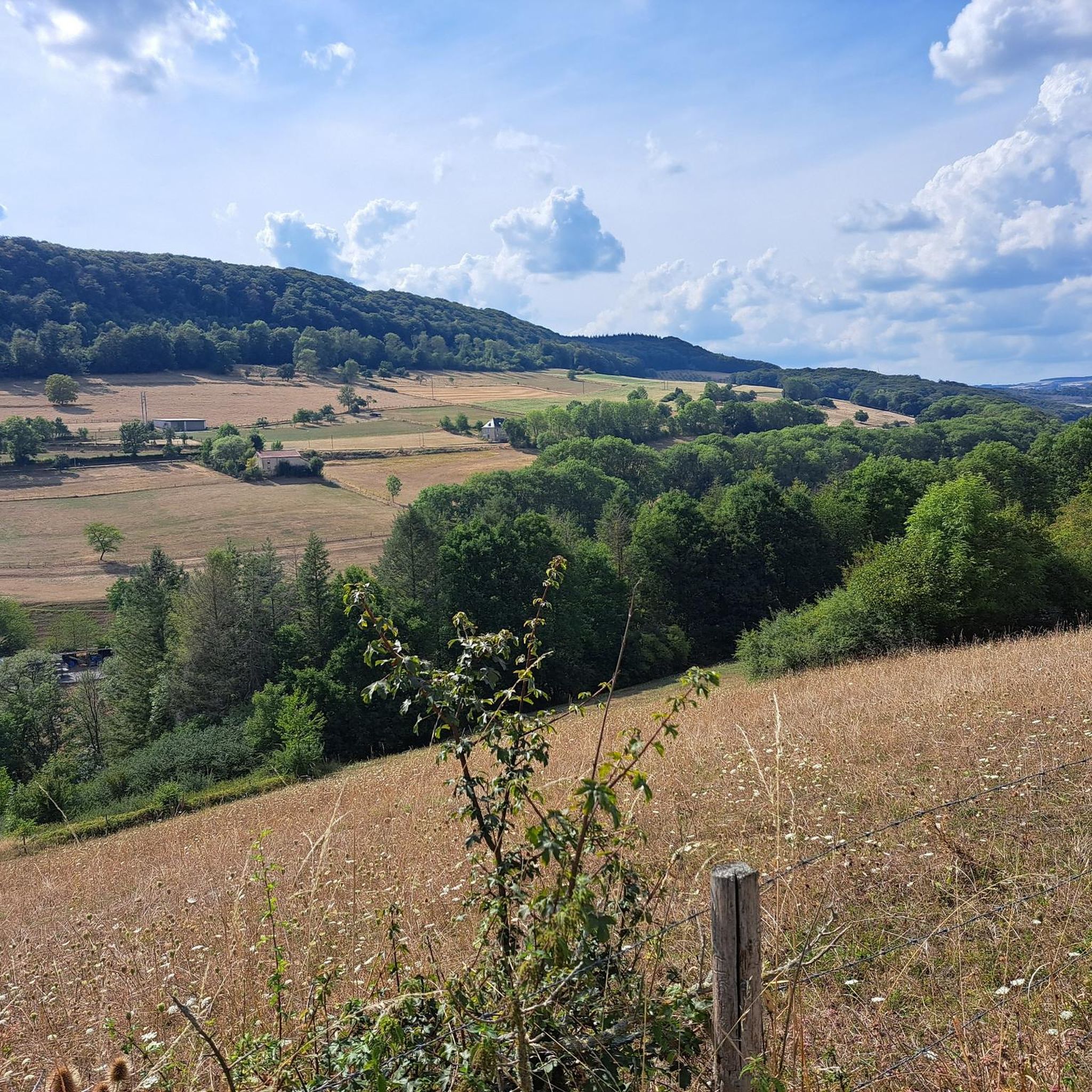
Mountaineering routes around Ammeldingen an der Our are situated in the Eifel region, bordering Luxembourg on the Our river. This area is characterized by dramatic sandstone cliffs, deep gorges, and intricate rock labyrinths, particularly within the nearby Mullerthal region. The landscape features a mix of forests and hills, providing a challenging low-mountain range environment. These geological formations create varied terrain suitable for demanding "mountain hiking" and sport climbing.
Best mountaineering routes around Ammeldingen an der Our
- The most popular mountaineering…
Last updated: June 30, 2026
4.8
(15)
42
hikers
16.1km
04:31
310m
310m
Moderate mountaineering route. Good fitness required. Easily-accessible paths. Suitable for all skill levels.
4.8
(16)
24
hikers
4.64km
01:23
70m
70m
Moderate mountaineering route. Great for any fitness level. Mostly accessible paths. Sure-footedness required.

Sign up for free
4.9
(7)
14
hikers
Moderate mountaineering route. Good fitness required. Mostly accessible paths. Sure-footedness required.
5.0
(2)
6
hikers
6.23km
01:46
80m
80m
Moderate mountaineering route. Great for any fitness level. Mostly accessible paths. Sure-footedness required.
4.9
(7)
8
hikers
11.1km
03:07
220m
220m
Moderate mountaineering route. Good fitness required. Easily-accessible paths. Suitable for all skill levels.
Our route recommendations are based on thousands of hikes, rides, and runs completed by other people on komoot.
Start today with a free account
Your next adventure awaits.
Login or Signup

Tips from the Community

At some moments it can get very busy here.
0
0

Small parking lot right on a busy road. Optimal entry - but only approx. 5 car parking spaces.
0
0
Rocks and rock labyrinths can be found in abundance in the Müllerthal region.
0
0

A good tip for other komoot users might be to visit this highlight early in the morning or later in the afternoon, when it's quieter and the light is better for photos. https://www.servicechannel.com.co
0
0

Interesting tour through the countryside
0
0

Beautifully situated castle 🏰 Unfortunately, time was too short to visit it from the inside, 7€ entrance fee
3
0

A hike along the wildly romantic, bubbling Haupeschbaach and Halerbaach streams leads through typical V-shaped valleys. This shape is created by the weathering of the rock faces. The weathered material that falls from the rock faces covers the base of the steep sandstone cliffs with sandy and stony debris. Numerous springs emerge from the sandstone and feed the streams, so that the landscape is dominated by water, and it is pleasantly cool in the valley, even on hot summer days. Hikers can enjoy numerous small wooden bridges crossing the streams and a unique landscape of mossy rocks. The Haupeschbaach and Halerbaach stream valleys are accessible on foot from Route 3 of the Mullerthal Trail. You can also hike on the local trails W4, W5, B1, and B7.
0
0
The ruins of Beaufort Castle are located in the municipality of Beaufort, Grand Duchy of Luxembourg. They stand south of the village center on a rocky promontory approximately 35 meters above the village. Beaufort Castle and Castle have been owned by the State of Luxembourg since 1981. The castle ruins are open to the public. Certain parts of the castle have been restored to their original state. Rue du Chateau | L-6313 Beaufort Bus stop: Beaufort, Härewiss (700m) Parking: On-site Opening hours: 9:00 AM to 6:00 PM
1
0
Frequently Asked Questions
What are the typical difficulty levels for mountaineering routes around Ammeldingen an der Our?
The mountaineering routes in this region are primarily categorized as moderate. While not high-altitude alpine mountaineering, they offer challenging "mountain hiking" experiences, often requiring good fitness, sure-footedness, and sturdy shoes due to varied terrain, including exposed sections and those requiring the use of hands. There are currently no difficult routes listed in our guide, but one easy route is available.
What kind of terrain can I expect on the mountaineering routes around Ammeldingen an der Our?
You can expect a diverse and challenging terrain characterized by dramatic sandstone cliffs, deep gorges, and intricate rock labyrinths, especially within the nearby Mullerthal region. The paths often traverse varied landscapes, including forests and hills, with sections that may be exposed or require some scrambling.
Are there family-friendly mountaineering routes suitable for children?
While many routes offer a challenging experience, some sections might be suitable for older, more adventurous children who are used to hiking. For example, the 4.8 km The gorge – View from the Adlerhorst Cliff loop from Berdorf is a moderate option that could be considered for families with experienced young hikers. Always assess the specific route's demands and your family's capabilities.
Can I bring my dog on the mountaineering trails?
Generally, dogs are welcome on hiking trails in the region. However, given the challenging terrain with sandstone cliffs, narrow gorges, and potential scrambling sections, it's crucial to ensure your dog is agile and accustomed to such conditions. Always keep your dog on a leash, especially in protected areas or near wildlife, and be mindful of other hikers.
Are there circular mountaineering routes available?
Yes, all the mountaineering routes featured in this guide are circular. This allows you to start and end your adventure at the same point, making logistics easier. Examples include the 16.2 km Huel Lee (Hohllay Cave) – Labyrinth Rock Formations loop from Berdorf and the 6.3 km Predigtstuhl (Preacher's Chair) rock formation – Binzeltschlüff loop from Berdorf.
Where can I find parking for the mountaineering routes?
Parking is generally available near the starting points of many routes, particularly in towns like Berdorf and Bollendorf, which serve as common access points for the Mullerthal region. Specific parking details often depend on the individual trailhead, so it's advisable to check local signage upon arrival.
How can I reach the trailheads using public transport?
Ammeldingen an der Our and surrounding towns like Berdorf and Beaufort are accessible by public transport, though connections might require some planning. Buses serve these areas, linking them to larger transport hubs. It's recommended to check local bus schedules in advance to plan your journey to the specific trailhead.
What is the best time of year to go mountaineering in this region?
The spring and autumn months are generally considered ideal for mountaineering in the Ammeldingen an der Our region. During these seasons, the weather is typically mild, and the natural scenery, with blooming flora or vibrant autumn colors, is particularly beautiful. Summer can also be pleasant, but be prepared for warmer temperatures, especially in exposed sections. Winter mountaineering is possible but requires appropriate gear for potentially icy or snowy conditions.
What natural landmarks or attractions can I discover along the routes?
The region is rich in unique natural features. You can explore the impressive Labyrinth of Rocks (Felsenlabyrinth) Mullerthal, navigate through the narrow crevices of the Siweschlëff, or visit the intriguing Berdorf Robbers' Cave. Other notable spots include the Ruetsbesch Gorge and viewpoints like Devil's Island, offering stunning vistas of the landscape.
Are there any specific permits required for mountaineering or climbing in the area?
While general hiking on the mountaineering routes typically does not require permits, specific regulations apply to rock climbing. For instance, to access the Wanterbaach climbing site in Berdorf, climbers must be members of an official climbing association (UIAA or IFSC affiliated). Always check local guidelines for any specific permits or restrictions, especially for climbing activities.
What do other mountaineers enjoy the most about mountaineering in Ammeldingen an der Our?
The mountaineering routes around Ammeldingen an der Our are highly rated by the komoot community, with an average score of 4.7 stars. Reviewers often praise the unique geological formations, the challenging yet rewarding terrain, and the stunning natural beauty of the sandstone cliffs and rock labyrinths. The variety of routes, from shorter loops to longer expeditions, is also frequently highlighted.
How long do the mountaineering routes typically take to complete?
The duration of the routes varies depending on their length and difficulty. For example, the 16.2 km Huel Lee (Hohllay Cave) – Labyrinth Rock Formations loop from Berdorf typically takes around 4 hours and 32 minutes, while the 10.2 km The Overlook – The gorge loop from Bollendorf can be completed in about 3 hours and 9 minutes. Shorter routes, like the 4.8 km The gorge – View from the Adlerhorst Cliff loop from Berdorf, take approximately 1 hour and 25 minutes.
Are there options for beginner mountaineers or those new to challenging hikes?
While many routes offer a moderate challenge, the 4.8 km The gorge – View from the Adlerhorst Cliff loop from Berdorf is an excellent option for those new to the region's challenging terrain. It's a moderate path that provides a taste of the area's unique landscapes and cliff views without being overly strenuous, making it a good starting point to build confidence.
Most popular routes around Ammeldingen an der Our
Most popular attractions around Ammeldingen an der Our

Get inspired with the komoot mobile app


Explore more
Browse the best Mountain Hikes & Routes in other regions.
