The best walks and hikes around Ammeldingen an der Our
4.5
(22847)
86,575
hikers
753
hikes
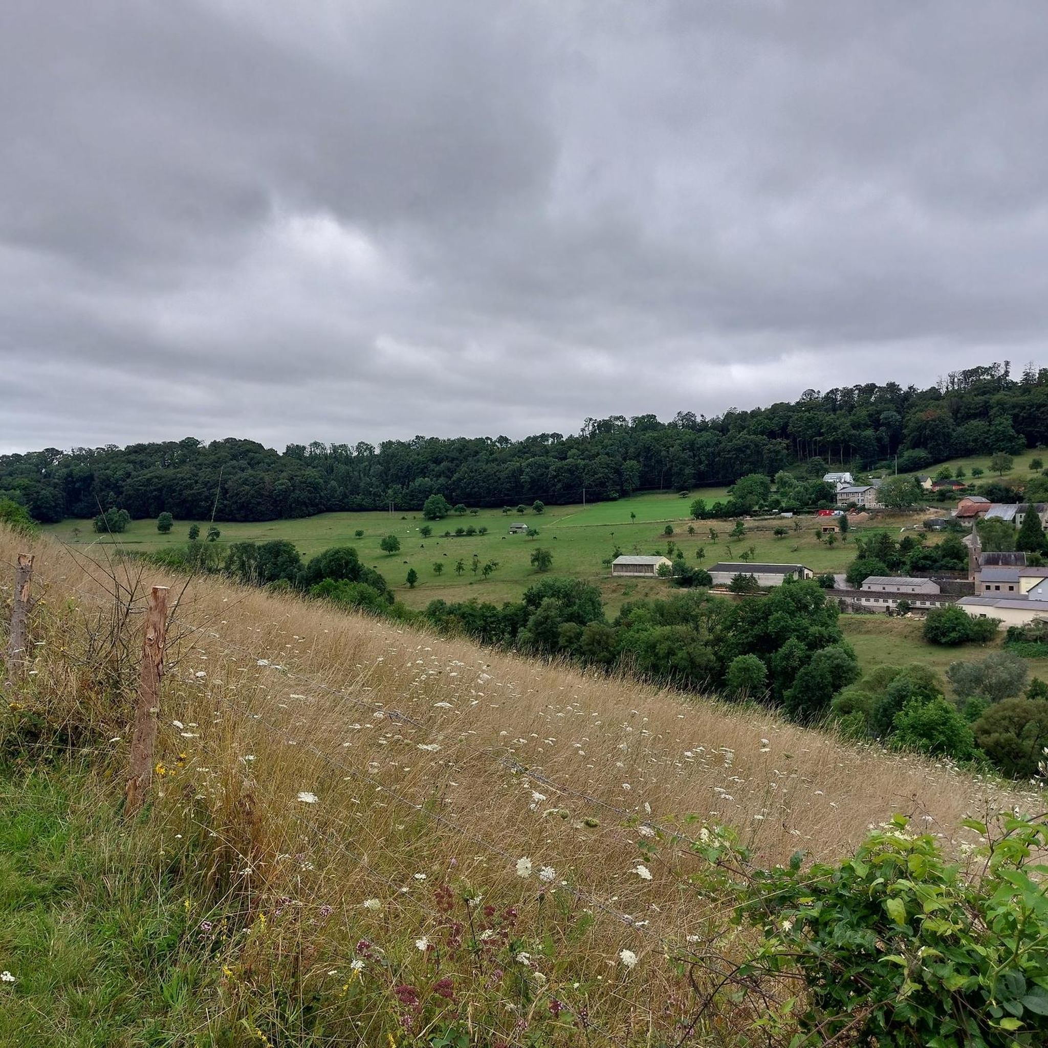
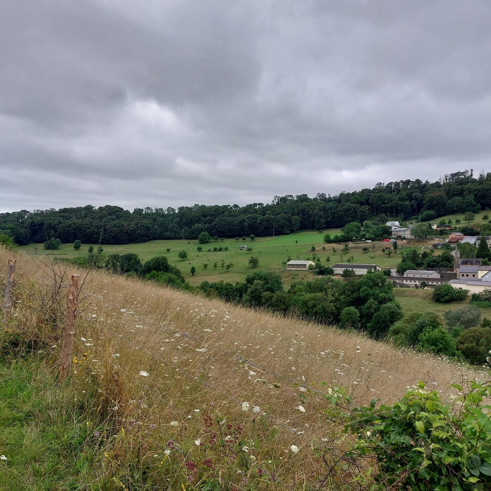
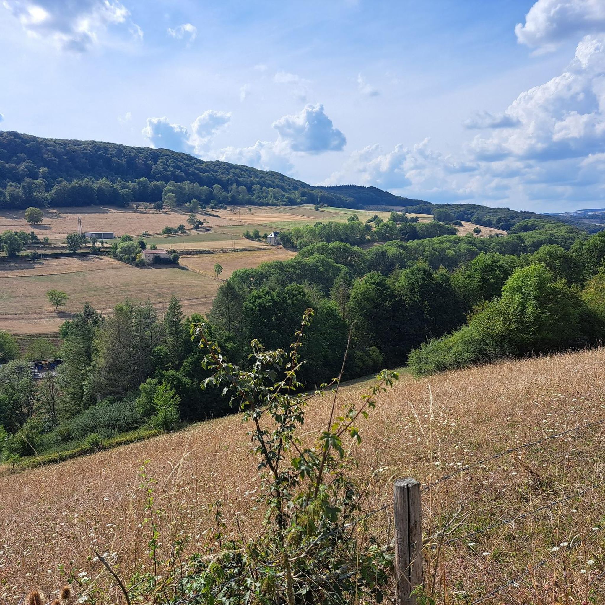
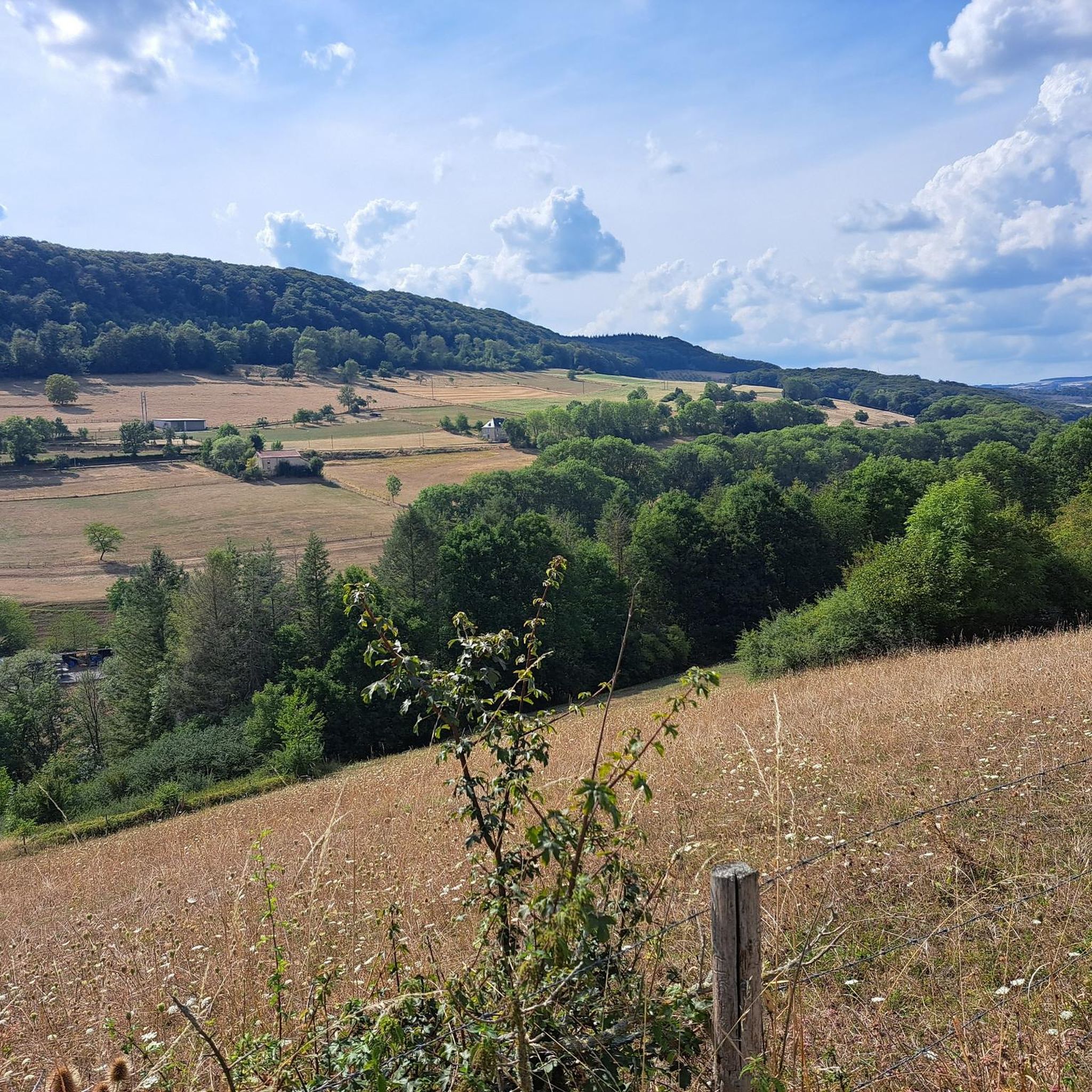
Hiking around Ammeldingen an der Our offers diverse landscapes within the Eifel region, characterized by forests, hills, and the Our river valley. The area features unique rock formations and gorges, particularly in the nearby Südeifel Nature Park. Stream valleys with numerous small bridges and mossy rocks provide varied terrain. Extensive forests and open meadows complete the natural setting for hiking.
Best hiking trails around Ammeldingen an der Our
- The most popular hiking route is Reisdorf Train Station – Medieval Chapel…
Last updated: October 13, 2026
4.5
(39)
188
hikers
9.21km
02:37
210m
210m
Moderate hike. Good fitness required. Easily-accessible paths. Suitable for all skill levels.
4.2
(47)
165
hikers
8.45km
02:25
190m
190m
Moderate hike. Good fitness required. Easily-accessible paths. Suitable for all skill levels.

4.7
(14)
52
hikers
Hard hike. Very good fitness required. Easily-accessible paths. Suitable for all skill levels.
4.8
(26)
42
hikers
8.82km
02:30
200m
200m
Moderate hike. Good fitness required. Easily-accessible paths. Suitable for all skill levels.
4.4
(8)
21
hikers
7.16km
02:00
140m
140m
Moderate hike. Good fitness required. Easily-accessible paths. Suitable for all skill levels.
Get access to more routes and recommendations from other explorers.
Already have an account?
Our route recommendations are based on thousands of hikes, rides, and runs completed by other people on komoot.
Start today with a free account
Your next adventure awaits.


Tips from the Community


Beautiful walk, varied in terms of surface, easy to do with the altitude meters, enough to see.
0
0

This is an example of a "B-Werk" Bunker form the Westwall, a front-line fortification ensemble, spanning for about 630 km, from the border of Netherlands to the border of Switzerland. This bunker was built around 1938. The bunker is overlooking the confluence point of the Our and Sûr rivers and the highgrounds on the luxemburgish side around Hoesdorf.
1
0
The German military cemetery was planned an built in 1953/1954 by the German "Volksbund Deutsche Kriegsgräberfürsorge". 326 fallen soldiers, who either died defending the defending the Wallendorf Bridgehead or in the Battle of the Bulge are buried here.
1
1
A small brigde, spanning ower the Our, and connecting Luxembourg to Germany.
0
0

Forester's house with bench. The forester's house is locked, but the bench can be used.
1
0

The Reisdorf Tourist Information is located in the former train station building near the Sauer Bridge. This is also the starting point for hikes R1, R2, R3, R4 and the historic circular hiking trail “Promenade du Souvenir”.
0
0
Frequently Asked Questions
How many hiking trails are available around Ammeldingen an der Our?
Ammeldingen an der Our offers a vast network of nearly 800 hiking trails. These routes cater to various preferences, ranging from easy strolls to more challenging day hikes through the diverse landscapes of the Eifel region and Our river valley.
What kind of terrain can I expect on hikes in Ammeldingen an der Our?
The terrain around Ammeldingen an der Our is quite varied. You'll find paths winding through extensive forests and open meadows, along the scenic Our river valley, and through unique rock formations and gorges. Some routes feature stream valleys with small wooden bridges and mossy rocks, while others offer more challenging ascents and descents characteristic of the Eifel hills.
Are there any easy or beginner-friendly hiking routes in the area?
Yes, Ammeldingen an der Our has plenty of options for easy and beginner-friendly hikes, with over 360 routes classified as easy. For example, the Reisdorf Train Station – Tree Carvings by US Soldiers loop from Reisdorf is an easy 3.8-mile trail through forested areas, typically completed in under two hours. Additionally, the region features a certified 'Comfort Path' near Neuerburg, a 1.1 to 1.2-kilometer circular trail designed to be partially accessible with gentle gradients and scenic views.
What natural landmarks or unique features can I see while hiking?
The region is renowned for its unique geological formations. You can explore impressive rock formations like the Labyrinth of Rocks (Felsenlabyrinth) Mullerthal and the Sieweschlëff Rock Labyrinth, which create a 'Luxembourgish Switzerland' feel with towering rocks and crevasses. The Our river valley itself offers beautiful riverside views, and stream valleys like the Haupeschbaach and Halerbaach are characterized by water-dominated landscapes with mossy rocks and numerous small bridges.
Are there any historical sites or attractions accessible by hiking?
Yes, hikers can discover several historical points of interest. The nearby medieval Neuerburg Castle, dating back to the 13th century, can be integrated into longer excursions. Some trails may also lead past remnants of the Westwall, such as a historical bunker from 1938, offering a glimpse into the region's past. For example, the Reisdorf Train Station – Medieval Chapel loop from Reisdorf features historical points of interest.
Are there many circular hiking routes around Ammeldingen an der Our?
Yes, the area is well-equipped with numerous circular hiking routes. Many local circular trails, such as the R1 to R7, W4, W5, B1, and B7, originate or pass through Ammeldingen and its surrounding municipalities. These routes offer convenient options for hikers to start and end their journey in the same location, exploring the diverse landscapes without needing to retrace their steps.
What is the best time of year to go hiking in Ammeldingen an der Our?
The region is particularly appealing for hiking in spring and summer when the extensive forests and open meadows are vibrant and in bloom. The stream valleys, with their mossy rocks and water features, provide a pleasantly cool environment even on warmer days. Autumn also offers beautiful foliage, while winter hiking can be picturesque, though some paths might be more challenging.
What do other hikers enjoy most about hiking in Ammeldingen an der Our?
The hiking experience around Ammeldingen an der Our is highly rated by the komoot community, with an average score of 4.5 stars from over 18,000 reviews. Hikers frequently praise the diverse landscapes, from the tranquil Our river valley to the unique rock formations and dense forests. The well-maintained trails and the variety of options for different skill levels are also often highlighted.
Are there any viewpoints offering scenic panoramas?
Absolutely. The region provides several opportunities for panoramic views. For instance, the View from the Lingelslay Observation Tower offers expansive vistas. The 'Comfort Path' near Neuerburg also boasts sweeping views of the countryside, meadows, and fields. Many trails, such as the View of Galgenberg – View of the Eifel Hills loop from Körperich, are designed to showcase the area's natural beauty.
Can I find challenging hikes in Ammeldingen an der Our?
Yes, for those seeking a more demanding experience, there are 56 difficult routes available. These trails often feature significant elevation changes and longer distances. An example of a challenging route is the Wooden Lumberjack Statue – Wallendorf German War Cemetery loop from Wallendorf, which is over 14 miles long with substantial elevation gain, requiring good fitness to complete.
Are there family-friendly hiking options?
Yes, the region offers various family-friendly hiking options. The diverse landscapes, including stream valleys with small bridges and unique rock formations, can be engaging for children. The 'Comfort Path' near Neuerburg is also a good option for families with younger children or those seeking an accessible route. Many of the easier, shorter circular trails are suitable for family outings.
Most popular routes around Ammeldingen an der Our
Most popular attractions around Ammeldingen an der Our

Get inspired with the komoot mobile app


Explore more
Browse the best Hikes in other regions.
