The best walks and hikes in Guasca
4.9
(12)
37
hikers
6
hikes
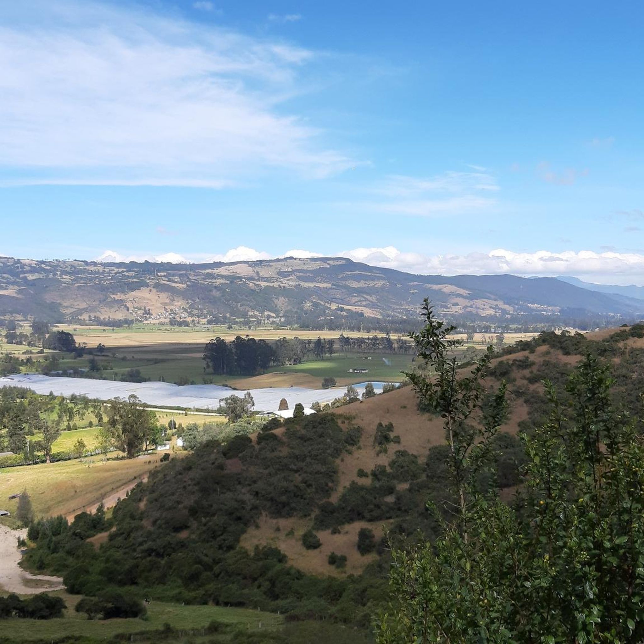
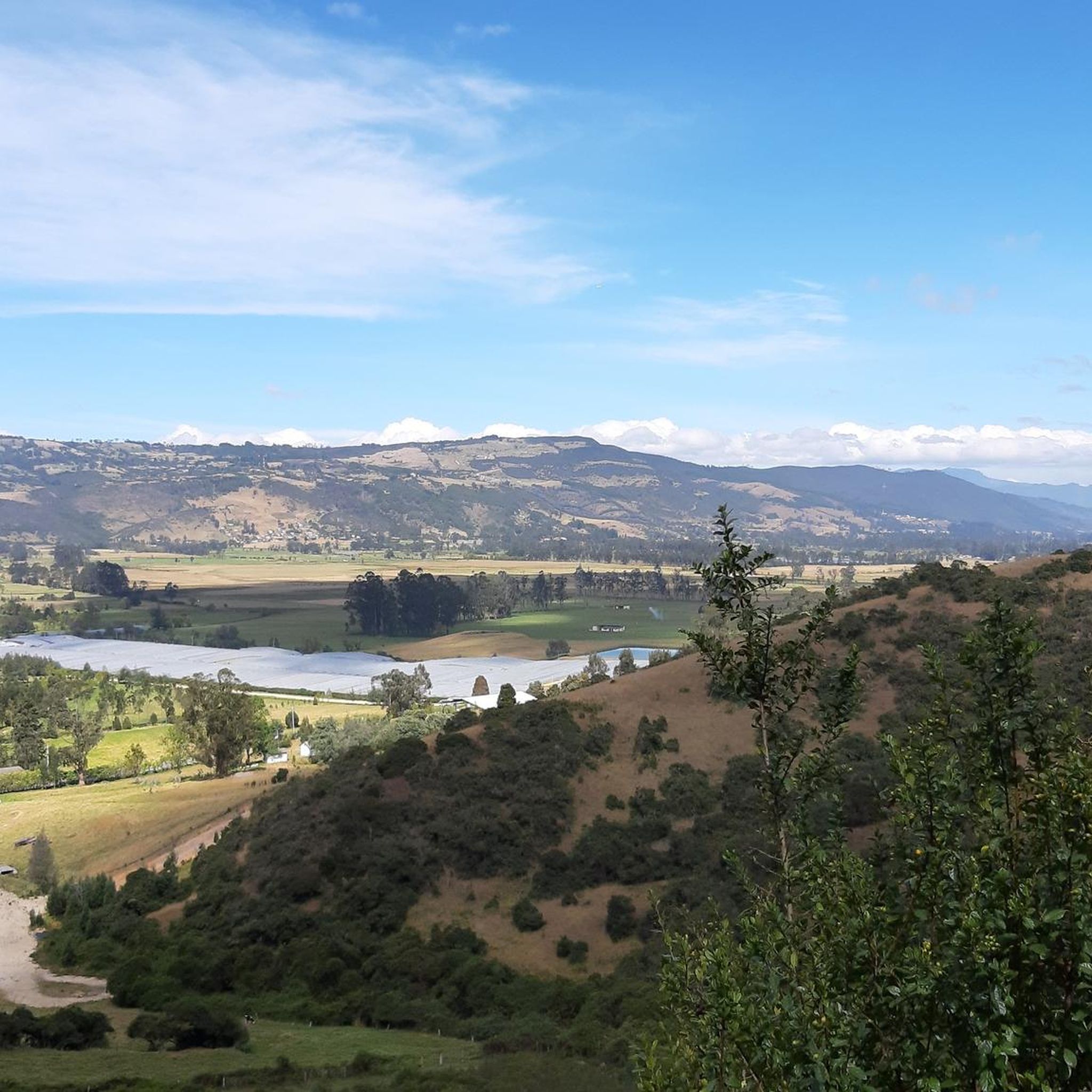
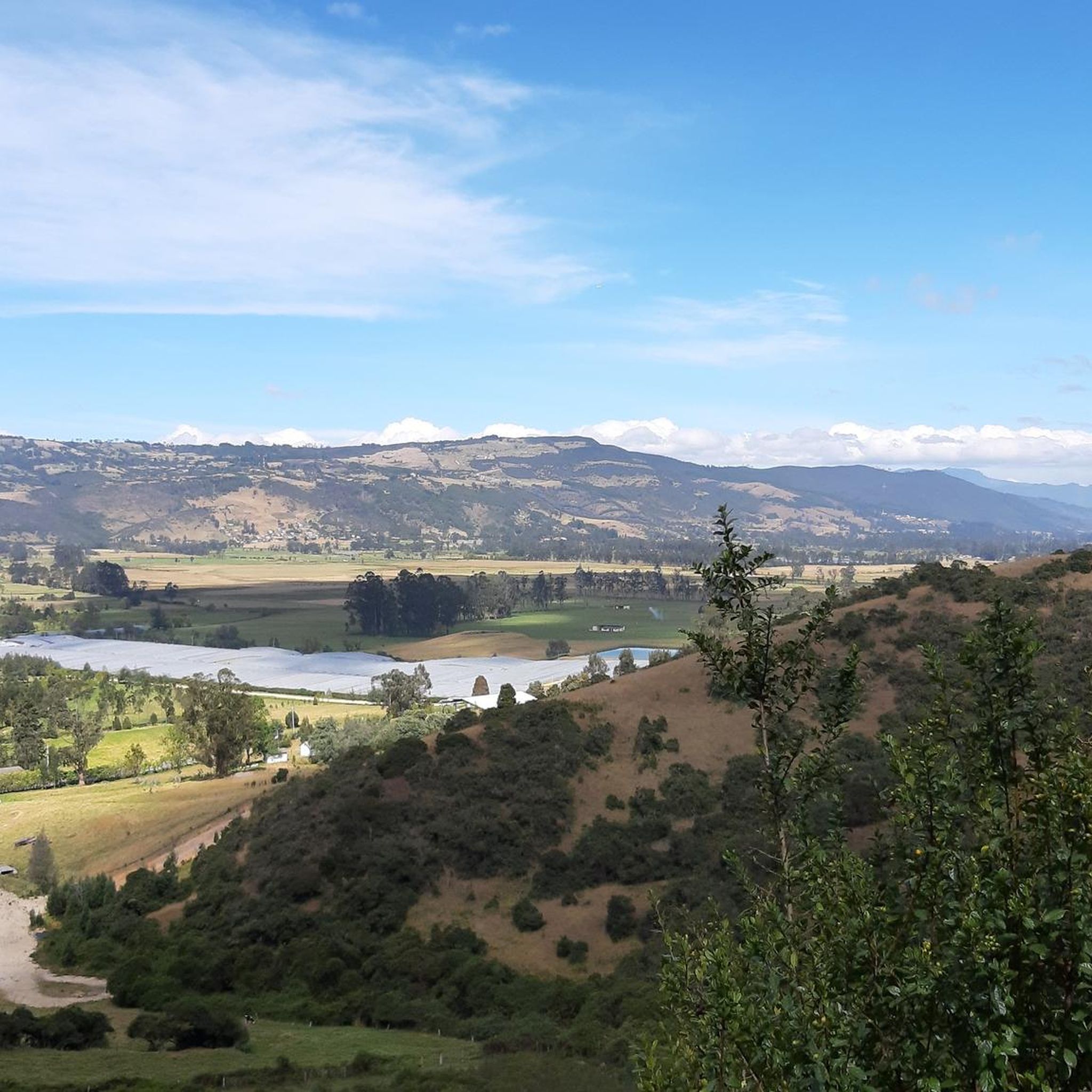
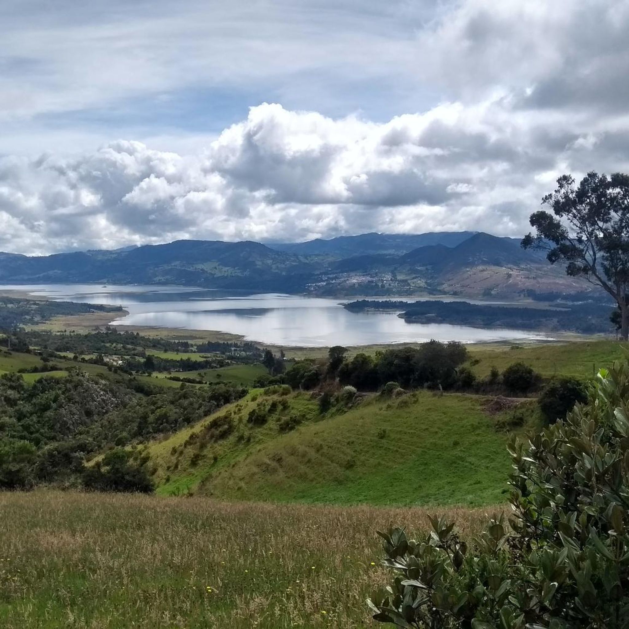
Hiking in Guasca offers diverse landscapes, characterized by extensive páramo ecosystems and mountainous terrain within the Eastern Ranges of the Colombian Andes. The region features elevated views of the Colombian countryside and the prominent Embalse de Tominé. These natural features provide varied environments for outdoor activities, from rolling hills to more challenging ascents. Guasca's landscape is dominated by these natural features, making it a prime location for outdoor exploration.
Best hiking trails in Guasca
- The most popular hiking route is…
Last updated: July 13, 2026
4.8
(11)
19
hikers
6.22km
02:36
440m
440m
Moderate hike. Good fitness required. Mostly accessible paths. Sure-footedness required.
8
hikers
15.1km
04:42
580m
580m
Moderate hike. Good fitness required. Easily-accessible paths. Suitable for all skill levels.

Sign up for free
5.0
(1)
6
hikers
20.2km
06:52
950m
950m
Hard hike. Very good fitness required. Mostly accessible paths. Sure-footedness required.
5.0
(1)
3
hikers
16.1km
04:58
540m
540m
Moderate hike. Good fitness required. Easily-accessible paths. Suitable for all skill levels.
1
hikers
3.71km
01:05
100m
100m
Easy hike. Great for any fitness level. Easily-accessible paths. Suitable for all skill levels.
Our route recommendations are based on thousands of hikes, rides, and runs completed by other people on komoot.
Start today with a free account
Your next adventure awaits.
Login or Signup


Other adventures in Guasca

Tips from the Community

Frequently Asked Questions
How many hiking trails are available in Guasca?
Guasca offers a selection of 6 hiking routes, catering to various preferences and fitness levels. These include easy walks, moderate treks, and more challenging ascents through the region's diverse landscapes.
Are there any easy hiking trails suitable for beginners or families in Guasca?
Yes, Guasca has easy options. For a gentle walk, consider the Embalse del Tomine loop from Guatavita. This 3.7 km (2.3 miles) trail is typically completed in just over an hour and offers scenic views of the reservoir, making it ideal for a relaxed outing.
What kind of natural features can I expect to see while hiking in Guasca?
Guasca is renowned for its diverse natural features, including extensive páramo ecosystems, beautiful mountainous terrain, and the serene Tominé Reservoir. Many trails offer elevated viewpoints with panoramic vistas of the Colombian countryside and the reservoir.
Are there any trails that offer great viewpoints in Guasca?
Absolutely. Many routes in Guasca provide stunning views, particularly of the Embalse de Tominé. A popular moderate option is the View of Embalse de Tominé loop from Guatavita, which spans 10.4 km (6.5 miles) and offers panoramic vistas of the reservoir and surrounding mountains.
What is the best time of year to go hiking in Guasca?
While specific data on the best months isn't provided, Guasca's páramo and mountainous terrain can experience varied weather. Generally, the dry seasons in Colombia are often preferred for hiking, but it's always advisable to check local weather forecasts before your trip, especially concerning potential rainy seasons.
Are there any challenging hikes for experienced trekkers in Guasca?
Yes, for those seeking a more demanding experience, Guasca offers difficult trails. An example is the View of Embalse de Tominé loop from Vereda Montecillo, a 20.1 km (12.5 miles) route with significant elevation gain, designed for experienced hikers.
Can I find circular hiking routes in Guasca?
Many of Guasca's trails are designed as loops, allowing you to start and end at the same point. For instance, the The Gate of Heaven – View of Embalse de Tominé loop from Guatavita is a 15.1 km (9.4 miles) moderate circular route that offers varied terrain and beautiful scenery.
What do other hikers say about the trails in Guasca?
The hiking routes in Guasca are highly regarded by the komoot community, boasting an impressive average rating of 4.9 stars from over 10 reviews. Hikers frequently praise the stunning natural beauty, particularly the views of the Embalse de Tominé, and the diverse terrain that offers something for everyone.
Are there any specific landmarks or attractions to look out for near the hiking trails?
Beyond the natural beauty of the páramos and mountains, you'll find the prominent Tominé Reservoir as a major focal point. Other notable highlights in the broader Guasca area include various climbs like Salitre–Guasquita Climb and Potosí Heights, offering additional points of interest.
Is there parking available for hikers in Guasca?
While specific parking locations for trailheads are not detailed, Guasca is a small town. It's generally possible to find parking in or near the town center, which can serve as a starting point for many local routes or as a base to access trailheads further afield. Always check local signage for any restrictions.
Are there any trails that pass by water features other than the Embalse de Tominé?
The primary and most prominent water feature in the Guasca hiking region is the Embalse de Tominé, which is central to many routes. The region's páramo ecosystems are also vital for water conservation, contributing to the area's natural beauty, though specific waterfalls or other large water bodies are not highlighted in the available route data.
What is the elevation gain like on Guasca's hiking trails?
The elevation gain varies significantly across Guasca's trails, reflecting the region's mountainous character. Easy routes might have around 100 meters of ascent, while moderate trails can involve 300-500 meters. For example, the Cerro La Esmeralda loop from Estación de Tocancipá, a moderate route, features an elevation gain of approximately 543 meters.
Most popular attractions in Guasca

Get inspired with the komoot mobile app


Explore more
Browse the best Hikes in other regions.
