The best cycling routes in Guasca
4.7
(252)
3,977
riders
13
rides
Touring cycling routes in Guasca are situated in the Eastern Ranges of the Colombian Andes, characterized by rolling hills and majestic mountains. The region features diverse and scenic landscapes, including unique páramo ecosystems and sacred lakes. This terrain provides varied cycling experiences, from challenging climbs with significant elevation gain to more moderate routes.
Best touring cycling routes in Guasca
- The most popular touring cycling route is Guasca Main Square – Guasca loop from Carulla, a 34.8 miles (56.0 km)…
Last updated: July 11, 2026
4.3
(3)
171
riders
56.0km
04:05
1,120m
1,120m
Hard bike ride. Very good fitness required. Mostly paved surfaces. Suitable for all skill levels.
45
riders
34.5km
02:16
490m
490m
Hard bike ride. Very good fitness required. Mostly paved surfaces. Suitable for all skill levels.

Sign up for free
11
riders
56.2km
05:28
1,630m
1,630m
Hard bike ride. Very good fitness required. Mostly paved surfaces. Suitable for all skill levels.
12
riders
42.6km
03:41
740m
740m
Hard bike ride. Very good fitness required. Mostly paved surfaces. Suitable for all skill levels.
5.0
(1)
8
riders
24.8km
02:01
340m
340m
Moderate bike ride. Good fitness required. Mostly paved surfaces. Suitable for all skill levels.
Get access to more routes and recommendations from other explorers.
Sign up for free
Already have an account?
Our route recommendations are based on thousands of hikes, rides, and runs completed by other people on komoot.
Start today with a free account
Your next adventure awaits.
Login or Signup

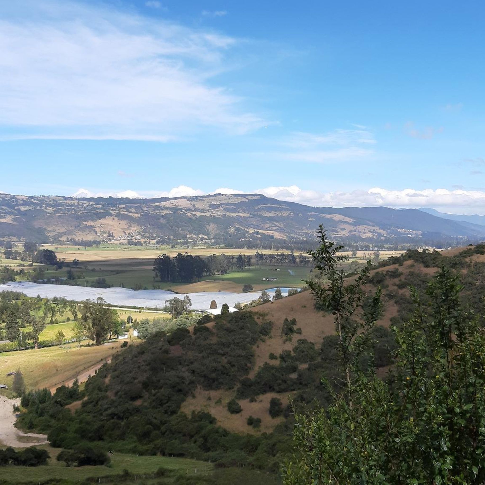
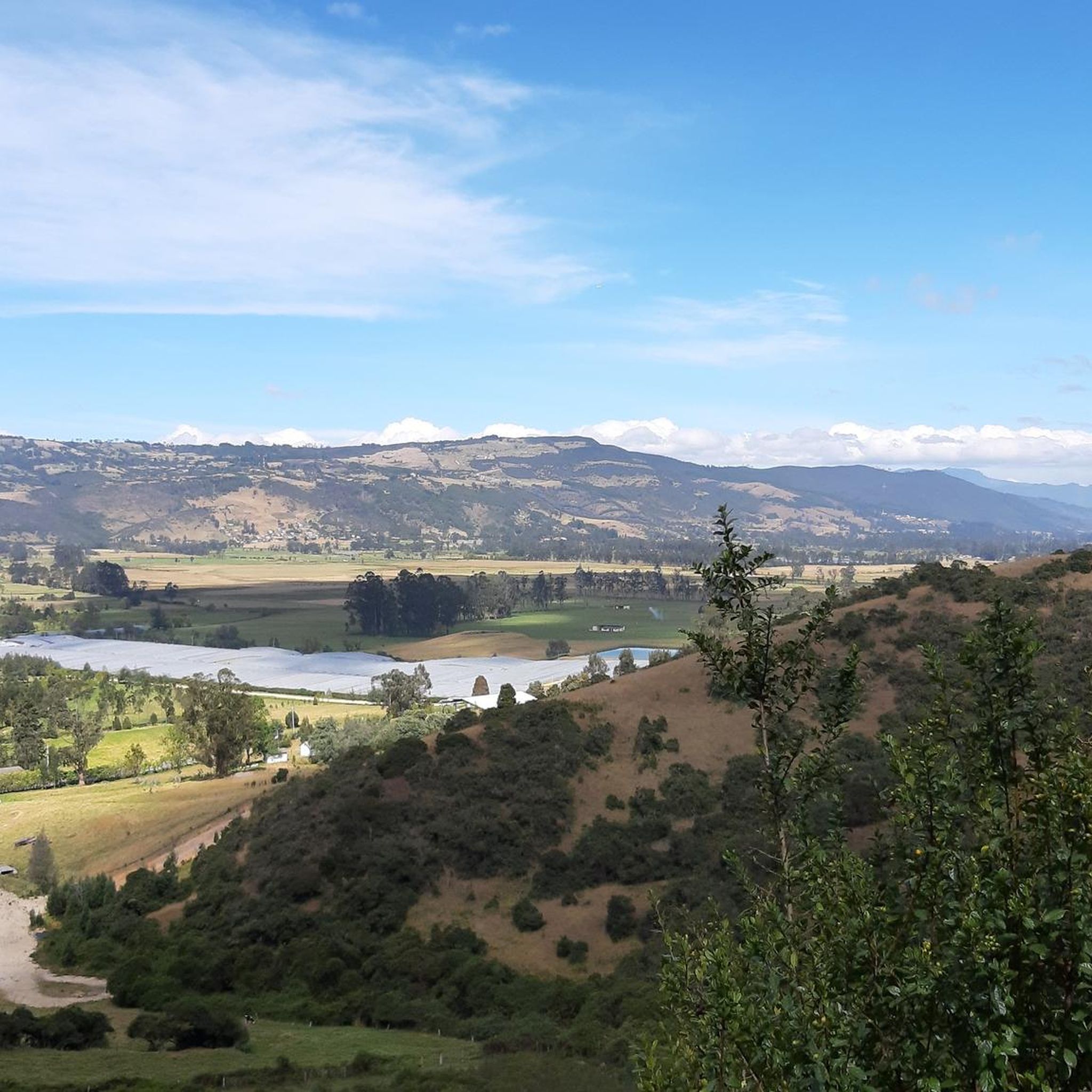
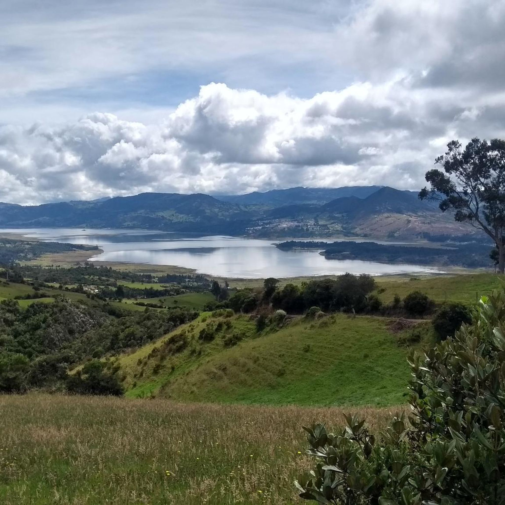

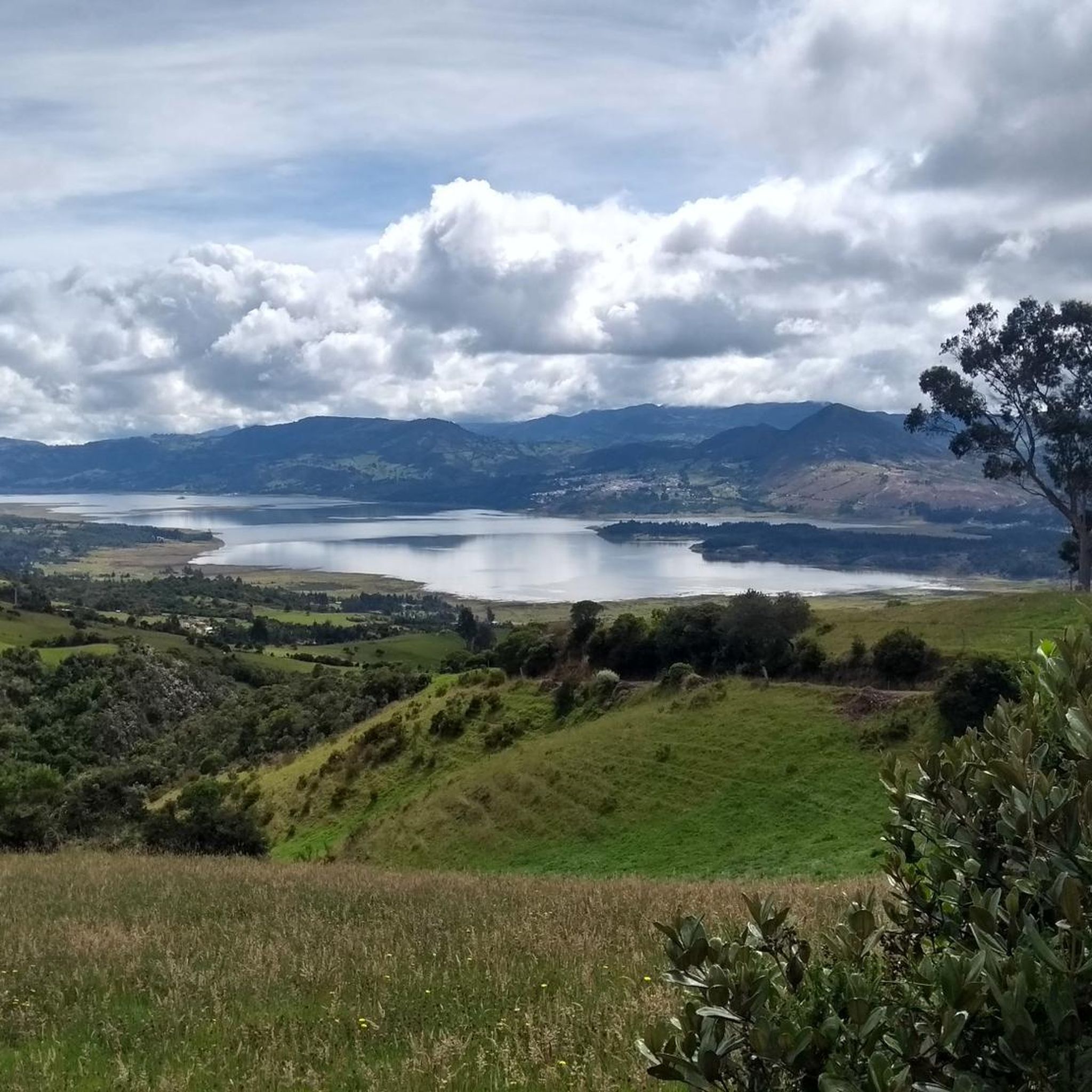
Other adventures in Guasca

Tips from the Community

Port on both sides, to provide firewood. Too bad, on the site, lousy service from the store that is there, that's why I suggest eating better, if you want, in La Calera. But that depends on how they feel.
0
0
Port with a manageable slope, it becomes hard at the end due to the altitude (3,500 meters) and the wind in the last km. Very cold up, and on the way down, I suggest a good jacket and FULL FINGER gloves.
0
0

Luagr highly recommend to get started in road cycling
0
0

18th century chapel, formerly the Dominican church
0
0
Singletrack parts, after rains it can be difficult on the bike, but nice
0
0
going up from the "Y" (Guasca) there are 11km, a road in good condition, generally cold, foggy and rainy. From Gachetá going up there are 35km of ascent.
0
0

Bring a windbreaker vest or jacket, because of the high altitude it can get really cold
2
0

heavy cross wind and rain is on the menu always
2
0
Frequently Asked Questions
What kind of terrain can I expect on touring cycling routes in Guasca?
Guasca's touring cycling routes are primarily characterized by the Eastern Ranges of the Colombian Andes, featuring rolling hills and majestic mountains. You'll encounter varied terrain, from challenging climbs with significant elevation gain to more moderate sections. The region is also known for its unique páramo ecosystems, offering high-altitude grasslands and breathtaking views.
Are there routes suitable for less experienced touring cyclists in Guasca?
While many routes in Guasca are rated as difficult due to significant elevation changes, there are also moderate options available. For example, the Guasca Main Square – Guasca loop from Entre Montañas is a moderate 24.7 km (15.3 miles) route with over 330 meters of elevation gain, offering a less strenuous experience while still showcasing the region's beauty.
What are some notable natural features or landmarks I can see while cycling in Guasca?
Guasca is rich in natural beauty. You can cycle past significant water bodies like the Tominé Reservoir and enjoy views of the Sopo Reservoir. The region also offers access to protected areas like Chingaza National Park, known for its páramo ecosystems. Cyclists often encounter challenging climbs such as Alto de La Cuchilla and Salitre–Guasquita Climb, which offer panoramic views.
Are there any circular touring cycling routes in Guasca?
Yes, many of the touring cycling routes in Guasca are designed as loops, allowing you to start and end in the same location. Popular examples include the Guasca Main Square – Guasca loop from Carulla, a 56 km (34.8 miles) route, and the Guasca – Guasca Main Square loop from Patios, which covers 42.6 km (26.4 miles).
What is the best time of year to go touring cycling in Guasca?
Guasca's location in the high Andean plateaus means it generally has a temperate climate with cool evenings and pleasant daytime temperatures, making it suitable for year-round outdoor exploration. However, for the most comfortable cycling experience, it's advisable to check local weather forecasts for periods with less rainfall, as the páramo ecosystems can be mist-shrouded.
Are there any family-friendly touring cycling routes in Guasca?
While many routes in Guasca involve significant climbs and are rated difficult, families with older children or those seeking a less strenuous ride might consider shorter, moderate loops. Always check the route's elevation profile and distance to ensure it matches your family's fitness level. The Guasca Main Square – Guasca loop from Entre Montañas is a moderate option that could be suitable for more active families.
What do other touring cyclists enjoy most about cycling in Guasca?
The touring cycling routes in Guasca are highly rated by the komoot community, with an average score of 4.7 stars from over 220 reviews. Cyclists often praise the stunning natural beauty, the challenge of the Andean mountain terrain, and the unique experience of riding through páramo ecosystems. The diverse and scenic landscapes, including sacred lakes and rolling hills, are frequently highlighted.
Where can I find cafes or restaurants near the cycling routes in Guasca?
Guasca itself is a charming colonial settlement and serves as a common starting or ending point for many routes. You'll find cafes and restaurants within the town center where you can refuel before or after your ride. For routes that venture further into the countryside, it's always a good idea to pack sufficient water and snacks, as amenities might be sparse.
Is public transport available to reach the cycling routes in Guasca, and can I bring my bike?
Guasca is accessible from nearby cities like Bogotá D.C. via public transport, typically buses. However, policies regarding bringing bicycles on public transport can vary. It's recommended to check with the specific bus operator beforehand to confirm if they accommodate bikes, especially during peak travel times. Many cyclists opt to drive to Guasca and park their vehicles.
Are there any specific permits required for cycling in Guasca, especially in protected areas?
While general cycling in Guasca does not typically require permits, if your route takes you into protected areas such as Chingaza Natural National Park, there may be specific entry requirements or fees. It's advisable to check the official park regulations in advance to ensure a smooth visit. Always respect local environmental guidelines when cycling through natural habitats.
How challenging are the touring cycling routes in Guasca in terms of distance and elevation?
The touring cycling routes in Guasca offer a range of challenges. For instance, the Alto de Chingaza – Ghost Town of La Calera loop from Salitre is a difficult 53.1 km (33.0 miles) path with over 1,400 meters of elevation gain. Even moderate routes like the Guasca Main Square – Guasca loop from Entre Montañas still involve over 330 meters of climbing over 24.7 km (15.3 miles). Be prepared for significant ascents and descents.
Can I bring my dog on the touring cycling trails in Guasca?
The suitability of bringing dogs on cycling trails in Guasca largely depends on the specific route and local regulations, especially if passing through protected natural areas. While some trails might be dog-friendly, it's crucial to ensure your dog is well-behaved, on a leash where required, and that you carry waste bags. Always check for any signage or specific rules for the area you plan to cycle through, particularly within national parks or private lands.
Most popular attractions in Guasca

Get inspired with the komoot mobile app


Explore more
Browse the best Cycling routes in other regions.
