The best mountain hikes around Park Krajobrazowy Doliny Bobru
4.0
(14)
104
hikers
3
hikes
Mountaineering routes around Park Krajobrazowy Doliny Bobru traverse a diverse landscape in the Western Sudetes of Poland, characterized by the Bóbr River valley. The terrain features geological outcrops and rock walls formed from magmatic, metamorphic, and sedimentary rocks. This region, situated between the Jizera Foothills and the Kaczawskie Mountains, offers elevations with viewpoints extending towards the Karkonosze and Izera Mountains.
Best mountaineering routes around Park Krajobrazowy Doliny Bobru
- The most popular mountaineering route is Chojnik Castle loop from Jelenia Góra, a 3.0 miles (4.8 km) trail that takes 1 hour 39 minutes to complete. This easy route offers views of the historic Chojnik Castle.
- Another top favourite among local mountaineers is Chojnik Castle loop from Chojnik Castle, an easy 3.2 miles (5.2 km) path. This route provides a circular exploration around the castle grounds and surrounding forest.
- Local mountaineers also love the Chojnik Castle – Pass under Kopista loop from Jelenia Góra, a 5.0 miles (8.0 km) trail leading through varied forest terrain, often completed in about 2 hours 35 minutes.
- Mountaineering around Park Krajobrazowy Doliny Bobru is defined by river valleys, forested hills, and prominent rock formations, offering options for different ability levels.
- The routes in Park Krajobrazowy Doliny Bobru are highly rated by the komoot community with an average score of 3.95 stars from over 14 reviews. More than 97 mountaineers have used komoot to explore Park Krajobrazowy Doliny Bobru's varied terrain.
Last updated: July 6, 2026
4.8
(11)
70
hikers
4.91km
01:41
250m
250m
Easy mountaineering route. Great for any fitness level. Easily-accessible paths. Suitable for all skill levels.
5.0
(1)
19
hikers
5.24km
01:46
240m
240m
Easy mountaineering route. Great for any fitness level. Easily-accessible paths. Suitable for all skill levels.

Sign up for free
1.0
(1)
4
hikers
8.03km
02:36
340m
340m
Moderate mountaineering route. Good fitness required. Easily-accessible paths. Suitable for all skill levels.
6
hikers
3.19km
01:03
150m
150m
Easy mountaineering route. Great for any fitness level. Easily-accessible paths. Suitable for all skill levels.
5.0
(2)
6
hikers
28.5km
09:10
1,240m
1,240m
Hard mountaineering route. Very good fitness required. Easily-accessible paths. Suitable for all skill levels.
Our route recommendations are based on thousands of hikes, rides, and runs completed by other people on komoot.
Start today with a free account
Your next adventure awaits.
Login or Signup
Popular around Park Krajobrazowy Doliny Bobru
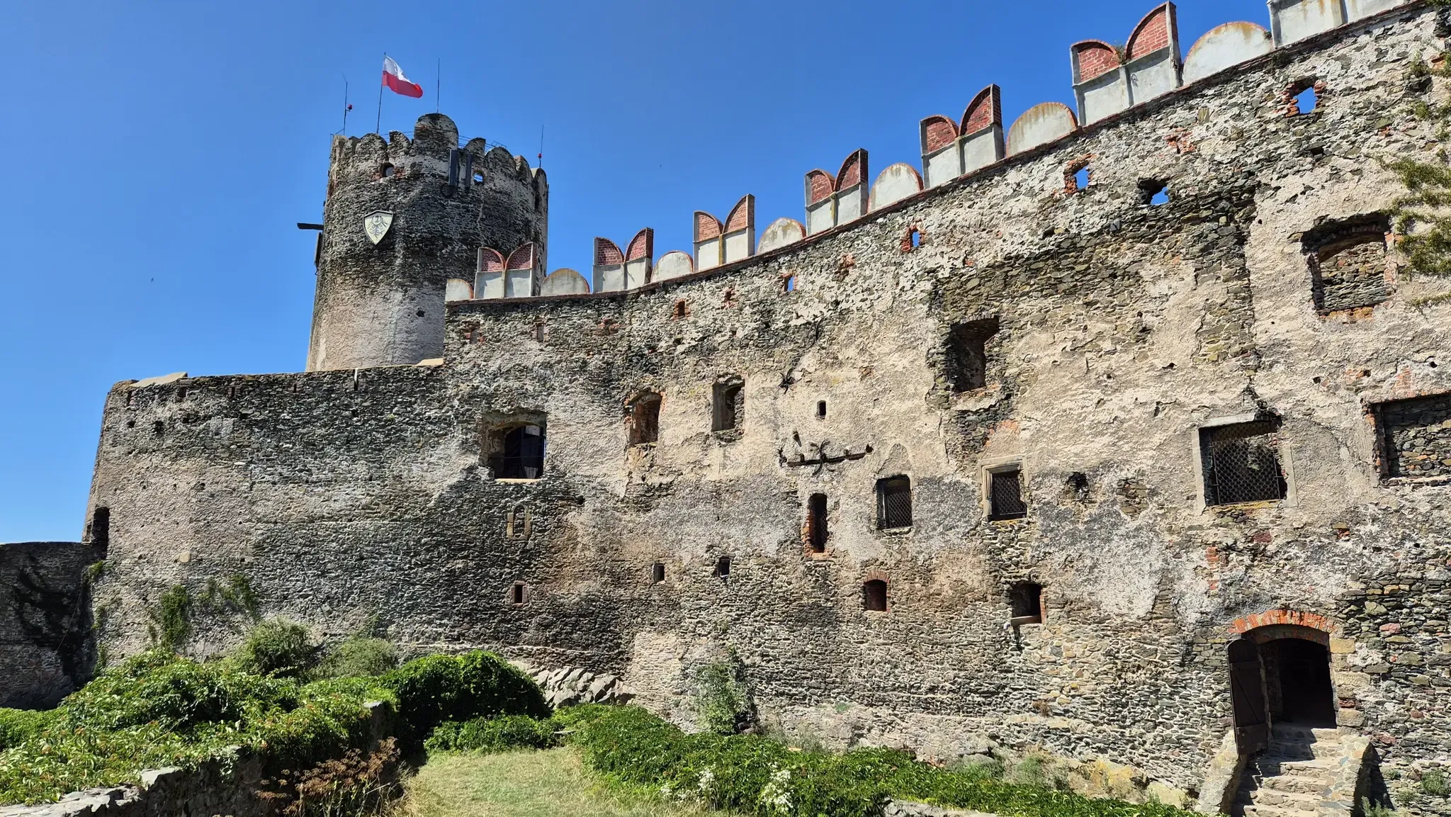
Piast Castles Trail – Great strongholds of Sudety
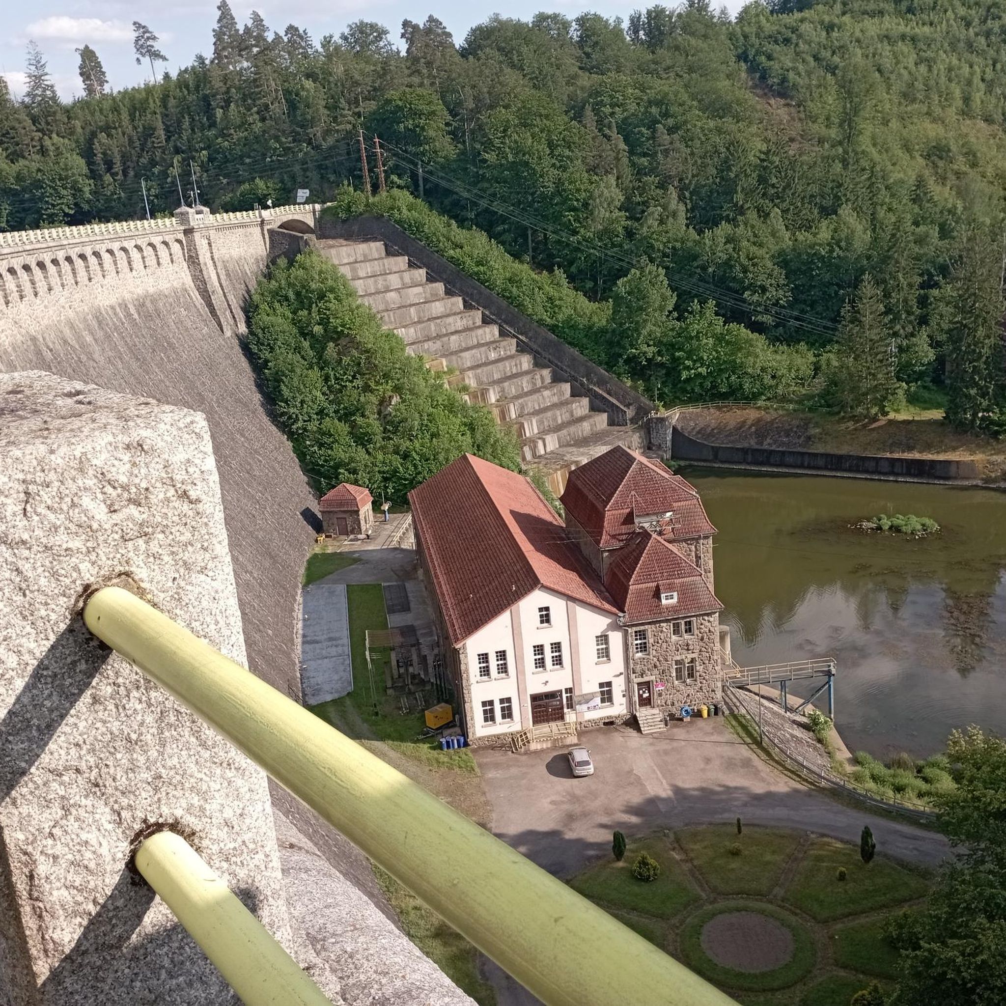
Road Cycling Routes around Park Krajobrazowy Doliny Bobru
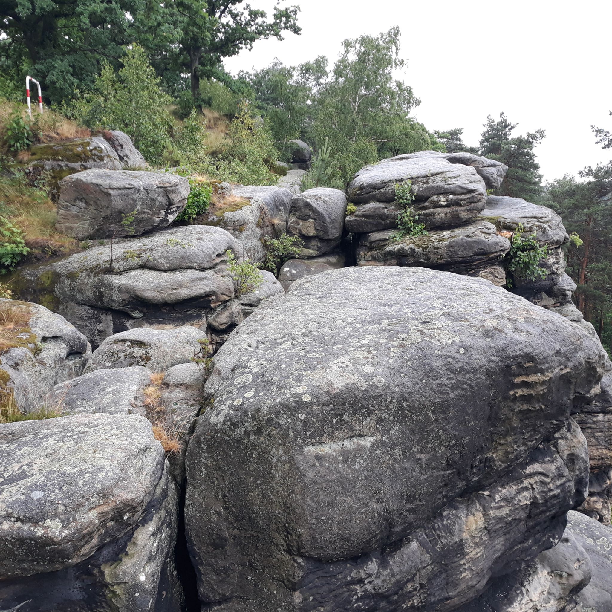
Hiking around Park Krajobrazowy Doliny Bobru
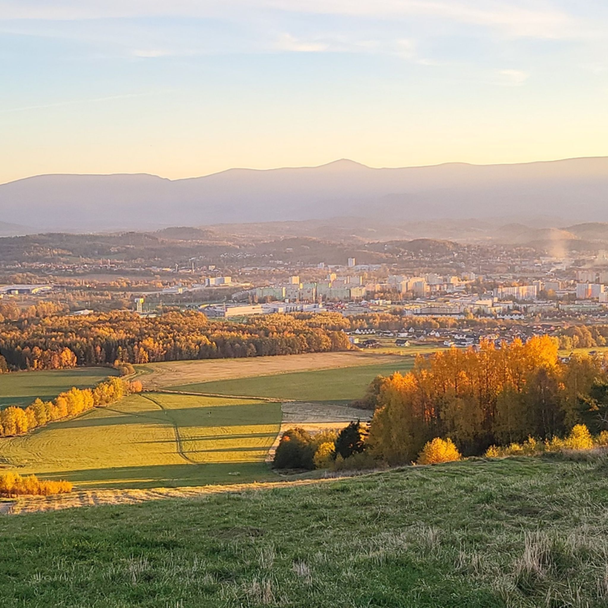
MTB Trails around Park Krajobrazowy Doliny Bobru
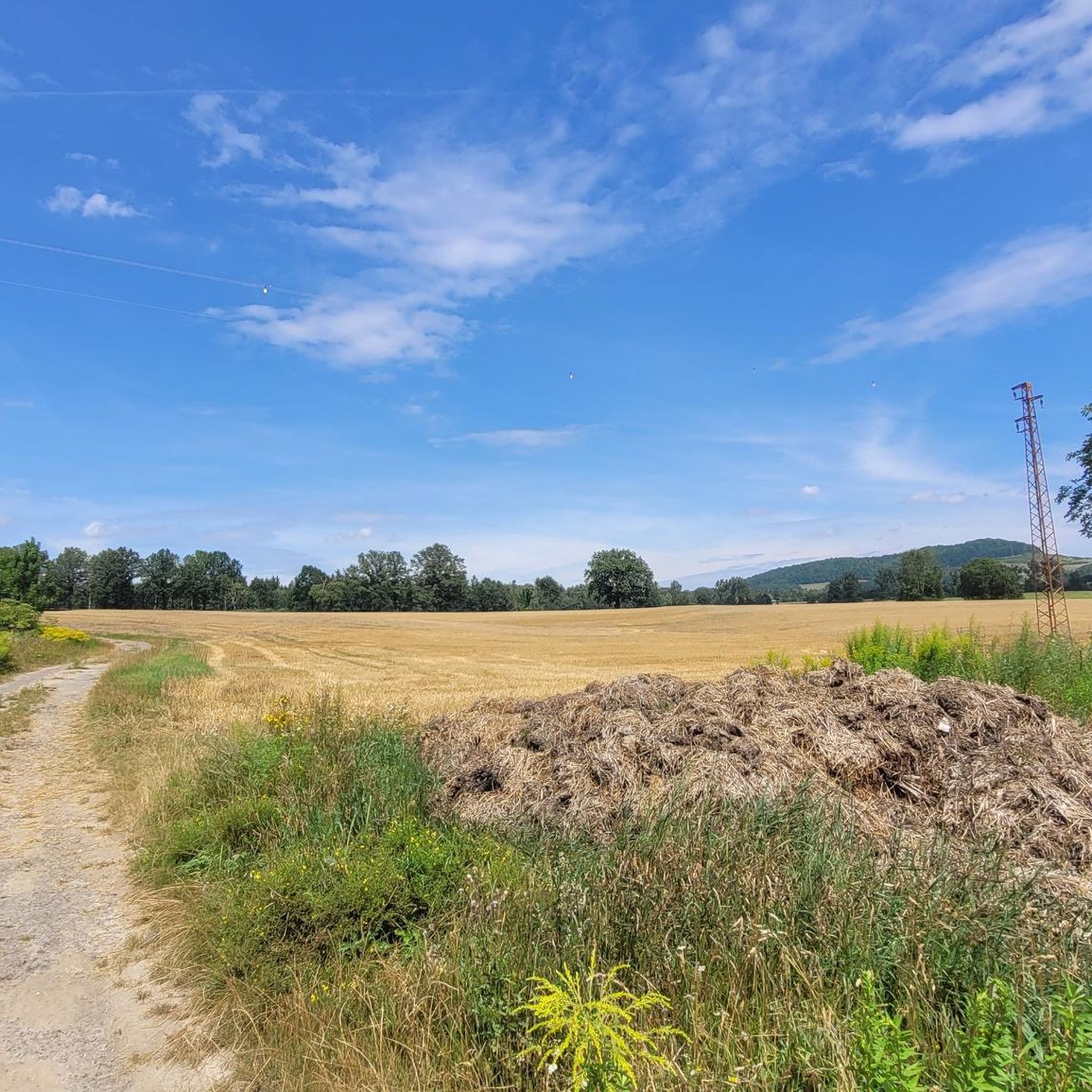
Cycling around Park Krajobrazowy Doliny Bobru
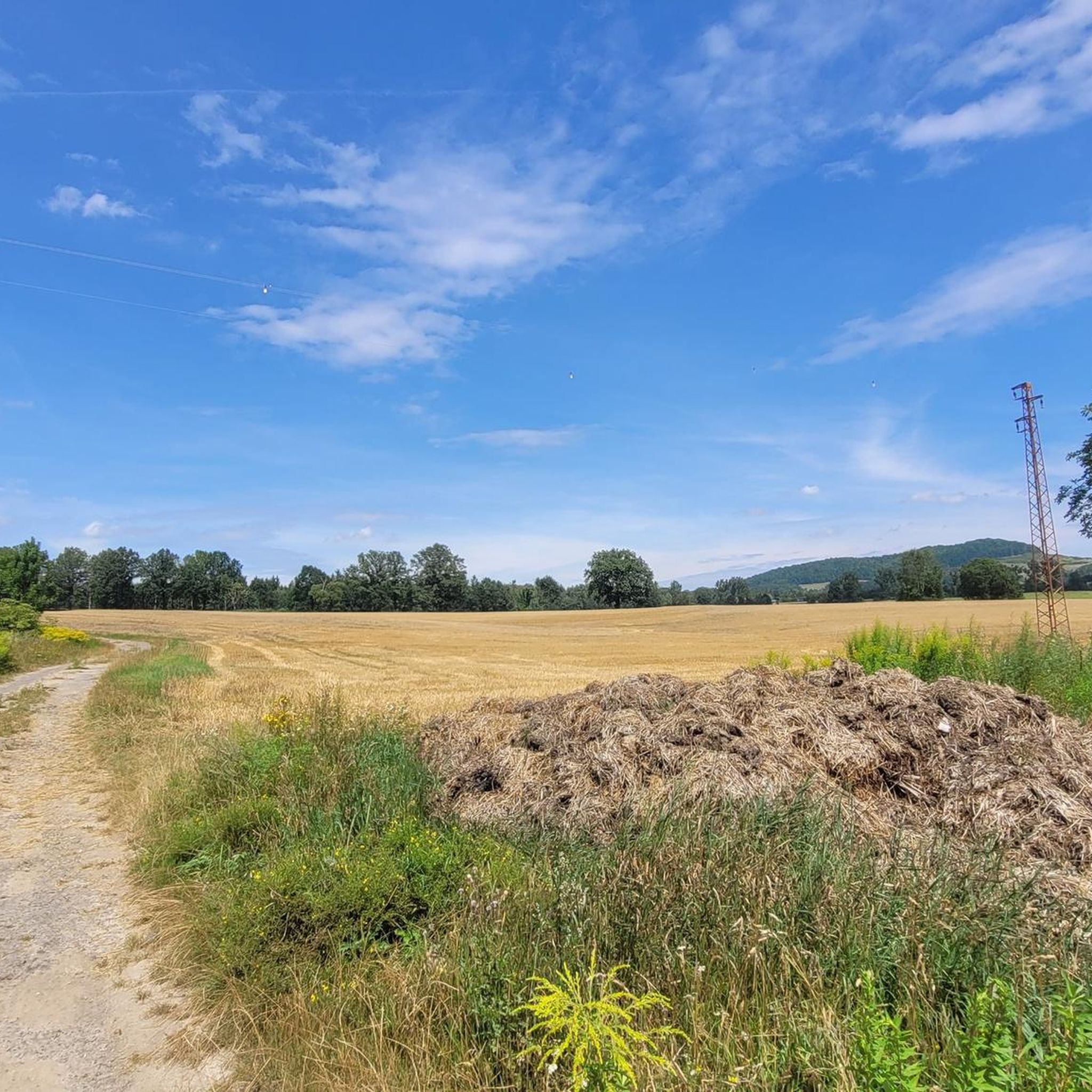
Running Trails around Park Krajobrazowy Doliny Bobru

Gravel biking around Park Krajobrazowy Doliny Bobru
Other adventures around Park Krajobrazowy Doliny Bobru

Tips from the Community


The rock formations are located on the border between the Czech Republic and Poland. They are called "Svinské kameny" in Czech, "Trzy Świnki" in Polish, and "Sausteine" in German.
1
0


The Snow Pits (Polish: Śnieżne Kotły) in the Giant Mountains are an impressive natural wonder that delights both hikers and nature lovers. They consist of two glacial cirques, the Great Snow Pit (Wielki Kocioł Śnieżny) and the Small Snow Pit (Mały Kocioł Śnieżny), located at an altitude of approximately 1,200 to 1,300 meters. These steep and deep rock faces were formed by glaciers and provide a breathtaking backdrop. The walls of the Snow Pits drop almost vertically to a height of up to 100 meters, making them one of the most spectacular places in the Giant Mountains. Rare flora and fauna: Due to the special microclimate, plant species normally found only in arctic regions thrive here. On the ridge above the Snow Pits stands the historic Snow Pit Hut (Polish: Schronisko na Śnieżnych Kotłach), a building that formerly served as a meteorological station.
0
0
The Pig Stones, in Polish Trzy Świnki and in Czech Svinské kameny, are a distinctive granite rock formation in the western part of the Silesian Ridge of the Giant Mountains, on the border between Poland and the Czech Republic. The Pig Stones are located in the immediate vicinity of the ridge path, about 400 meters northwest of the Twarożnik (Cheese Cliff). A green marked hiking trail leads from there to the Horse Headstones (Końskie Łby) and around the Reifträger Peak. The rock formation was created by natural weathering processes of the granite, which took place over millions of years and created the characteristic shapes of the Pig Stones. The name "Pig Stones" derives from the rocks' resemblance to three pigs lying next to each other. There are various local legends that explain the formation and naming of the rock formation. The Pig Stones offer impressive views of the surrounding landscape and are a worthwhile destination for hikes in the Giant Mountains.
1
0

Ostrzyca Proboszczowicka is the highest peak of the Kaczawskie Foothills. In reality, it is a volcanic neck, a fragment of a volcano chimney that was active about 20-25 million years ago, prepared by erosion. The elevation, rising to a height of 501 m above sea level above the flat area, is made of basanite, a volcanic rock poor in silica. In the top part, you can admire the largest rock fields in the Sudetes and a columnar joint occurring in basanites.
2
0

A beautiful waterfall and a great hiking trail along the river - in season it's worth getting there early to get a parking space and some peace and quiet. There's an entrance fee for the hiking trail!
1
0

Beautiful rock formation right on the ridge path, but reminds me more of a camel.
3
0
Frequently Asked Questions
What kind of terrain can I expect on mountaineering routes in Park Krajobrazowy Doliny Bobru?
The routes in Park Krajobrazowy Doliny Bobru traverse a diverse landscape characterized by the Bóbr River valley. You'll encounter varied terrain with geological outcrops and rock walls, formed from magmatic, metamorphic, and sedimentary rocks. The region features forested hills and offers elevations with viewpoints extending towards the Karkonosze and Izera Mountains.
Are there any easy mountaineering routes suitable for beginners in the area?
Yes, there are several easy routes. For instance, the Chojnik Castle loop from Jelenia Góra is an easy 4.8 km trail, and the Ostrzyca Proboszczowicka loop from Rezerwat Ostrzyca Proboszczowicka is another easy option covering about 3.2 km.
What are some notable landmarks or viewpoints I can see along the mountaineering routes?
Many routes offer views of significant landmarks. You can explore the historic Chojnik Castle, which is featured on several routes like the Chojnik Castle loop from Chojnik Castle. Other attractions in the wider area include the picturesque Perła Zachodu Mountain Lodge, the impressive Pilchowice Dam, and the ruins of Wleń Castle.
Are there any routes that feature waterfalls?
Yes, the region offers natural beauty including waterfalls. The challenging Kamieńczyk Waterfall – Śnieżne Kotły (Snowy Cirques) loop from Szklarska Poręba Dolna is a difficult route that includes the Kamieńczyk Waterfall. You might also encounter the Wild Waterfall in the area.
What do other mountaineers say about the routes in Park Krajobrazowy Doliny Bobru?
The routes in Park Krajobrazowy Doliny Bobru are highly rated by the komoot community, with an average score of 3.95 stars from over 14 reviews. Mountaineers often praise the varied terrain, the scenic river valleys, and the prominent rock formations.
Are there any circular mountaineering routes in the park?
Yes, many routes in the area are circular. Examples include the Chojnik Castle loop from Jelenia Góra, the Chojnik Castle loop from Chojnik Castle, and the Ostrzyca Proboszczowicka loop from Rezerwat Ostrzyca Proboszczowicka, all designed as loops for convenient exploration.
Can I find any moderate mountaineering challenges in this region?
Absolutely. For a moderate challenge, consider the Chojnik Castle – Pass under Kopista loop from Jelenia Góra. This 8.0 km trail leads through varied forest terrain and typically takes about 2 hours 35 minutes to complete.
What are some interesting natural features to look out for in the park?
The park is known for its diverse natural features. Keep an eye out for the scenic Borowy Jar gorge, the impressive Pilchowickie Lake (the largest artificial reservoir in the Sudetes), and the smaller Jezioro Modre. The geological outcrops and rock walls are also a defining characteristic of the landscape.
Is Park Krajobrazowy Doliny Bobru suitable for rock climbing or bouldering?
While traditional high-alpine mountaineering is not typical, the park is recognized as a destination for rock climbing, particularly bouldering. The complex geological structure has created many rock formations suitable for climbing, with established routes ranging in difficulty from 6A to 8A.
Are there any places to eat or stay near the mountaineering trails?
Yes, the historic Perła Zachodu Mountain Lodge is a notable spot. Situated on a cliff in Borowy Jar, it offers stunning views of the Bóbr River and Modrego Lake, making it a great place for a break or an overnight stay.
How many mountaineering routes are available in Park Krajobrazowy Doliny Bobru?
There are at least 5 mountaineering routes detailed for Park Krajobrazowy Doliny Bobru, offering options for various skill levels from easy to difficult.
Most popular routes around Park Krajobrazowy Doliny Bobru
Most popular attractions around Park Krajobrazowy Doliny Bobru

Get inspired with the komoot mobile app


Explore more
Browse the best Mountain Hikes & Routes in other regions.
