The best gravel rides around Taglio-Isolaccio
3.8
(6)
41
riders
6
rides
Gravel biking around Taglio-Isolaccio offers routes through varied terrain, characterized by significant elevation changes and scenic viewpoints. The region features a blend of coastal proximity, inland hills, and natural water features like waterfalls and dams. Routes often traverse areas with panoramic views, providing diverse challenges for gravel bikers. The landscape includes a natural forest setting within the Costa Verde massif, offering shaded paths and views of the Tyrrhenian Sea.
Best gravel bike trails around Taglio-Isolaccio
- The most popular gravel bike…
Last updated: July 6, 2026
5.0
(2)
17
riders
45.8km
03:25
1,190m
1,190m
Hard gravel ride. Very good fitness required. Mostly paved surfaces. Suitable for all skill levels.
5.0
(1)
8
riders
39.5km
02:50
740m
740m
Hard gravel ride. Very good fitness required. Mostly paved surfaces. Suitable for all skill levels.

Sign up for free
4.0
(1)
6
riders
39.5km
02:34
550m
550m
Hard gravel ride. Very good fitness required. Mostly paved surfaces. Suitable for all skill levels.
2
riders
Moderate gravel ride. Good fitness required. Mostly paved surfaces. Suitable for all skill levels.
2
riders
28.2km
02:00
570m
570m
Hard gravel ride. Very good fitness required. Mostly paved surfaces. Suitable for all skill levels.
Our route recommendations are based on thousands of hikes, rides, and runs completed by other people on komoot.
Start today with a free account
Your next adventure awaits.
Login or Signup

Tips from the Community

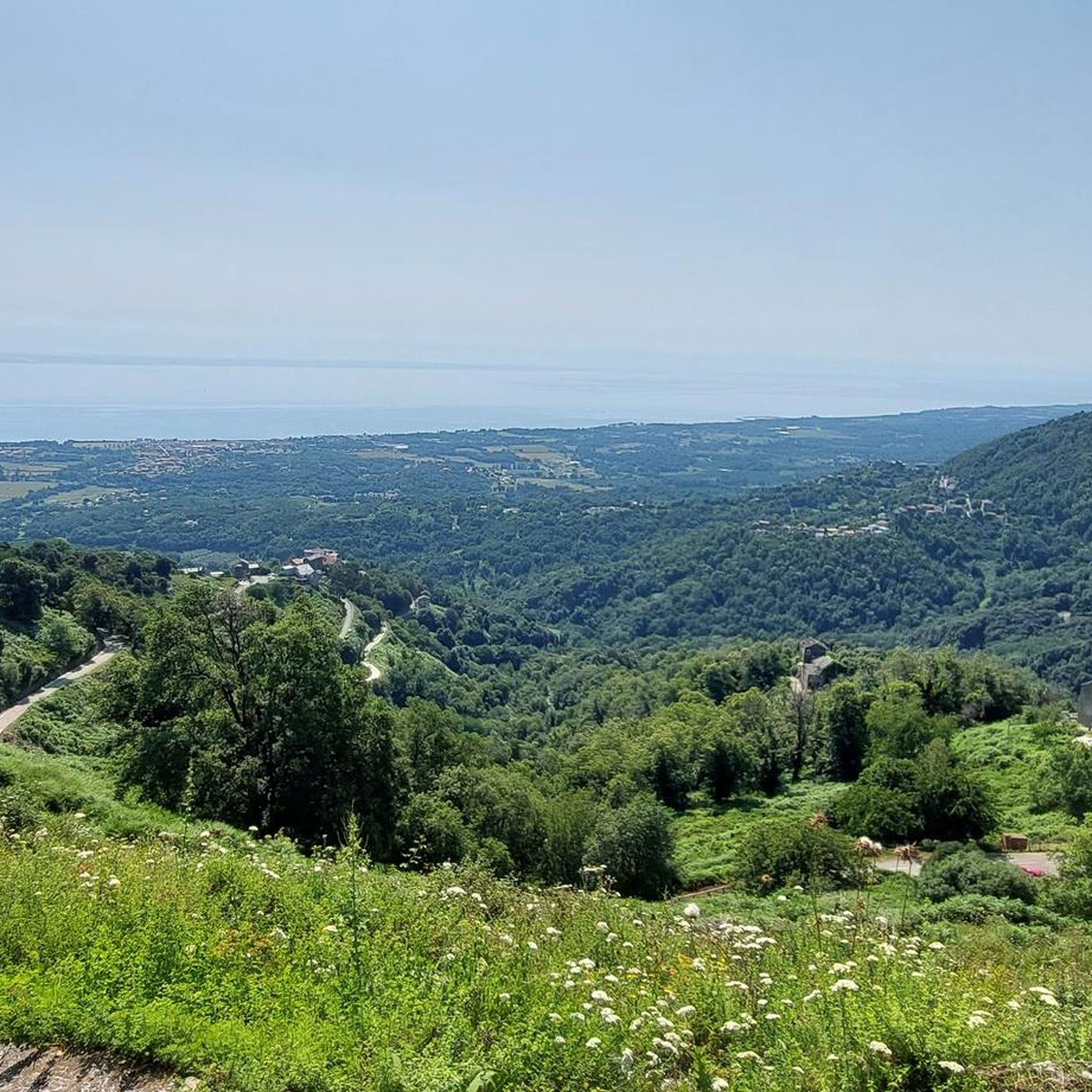
I couldn't resist taking a picture of Montecristo today because the light was so perfect 🤩🤩 By zooming in, you can even see the island of Giglio and the Italian coast. Pretty rare, right? 😎😎😎
0
0

This church is one of the Baroque buildings found in Corsica. It is recognizable from afar with its distinctive bell tower, visible amidst the natural forest setting of the Costa Verde massif.
0
0
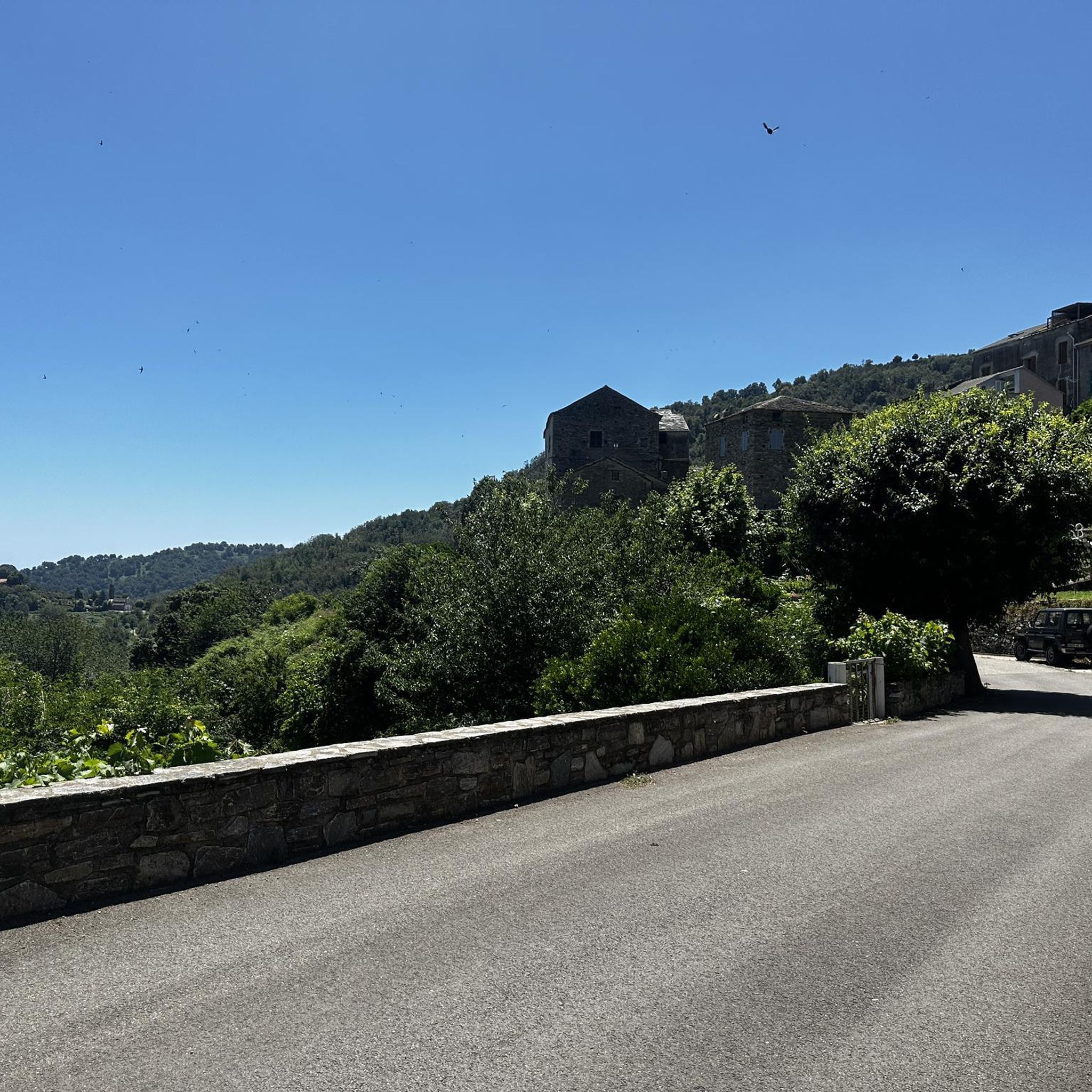
Talasani is a small town with a turbulent history, but today it is very peaceful. Nestled in the forests of the Costa Verde, it offers beautiful views of the plain and the sea. On the north side of the village are the ruins of the ancient Romanesque chapel of San Petru, which has been enhanced by the town.
0
0
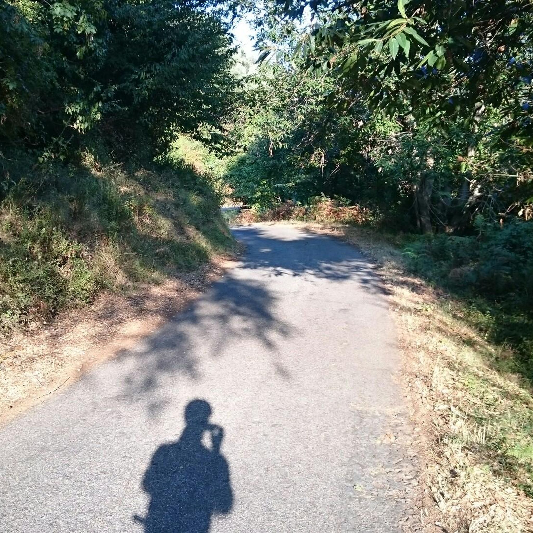
This stunning trail follows the historic cobblestone paths that wind through the oak and boxwood forests of the Costa Verde. Keep your eyes peeled, not only for the ground but also, and especially, for the horizon.
0
0
You have to enlarge the photo and in the mist the islands appear 👍👍👍
0
0

The church was begun at the beginning of the seventeenth century and completed in 1717. In 1740, embellishment works were carried out. The wall paintings were painted by Luigi Pollero in 1810. The main façade consists of two levels delimited by cornices and surmounted by a triangular pediment with three acroteria. On the first level, on either side of the portal, there are two niches that house the statues of Saint Nicholas and Saint Peter. The church ends in a semicircular apse. The bell tower rises at the junction of the apse and the right side façade. It has five floors that end in a dome surmounted by a cross. The interior consists of a nave and five richly decorated side chapels. On either side of the altar there are caryatid angels. Building dating from the first quarter of the 17th century (?), mentioned in the report of the pastoral visit of Msgr. Marliani, Bishop of Mariana and Accia, in 1646. It was restored in 1686 with the collaboration of master masons Lorenzo Chiglione and Giovanni Filippi. Rebuilt in 1717 and 1740. Main door dating from 1766. Painted decoration (investigated in the Palissy database) carried out by the painter Luigi Polleri in 1810, as shown by the date on the inside of the building. Restored in 1896.
1
0

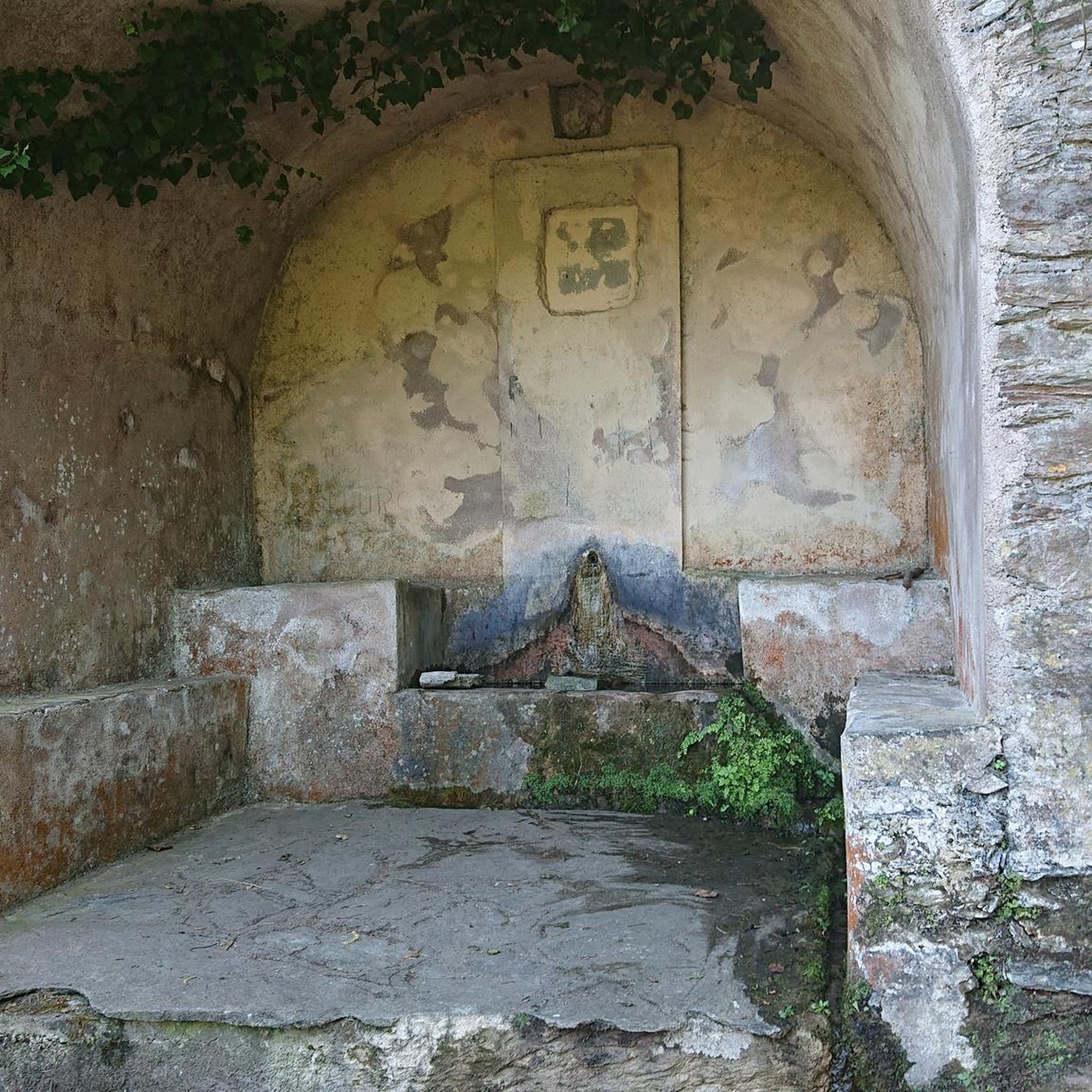
There is currently almost no water in the reservoir!
0
0

This church has a special location. Every time I cycled past it I just had to stop for a moment. Very beautiful. 👍🏻
0
0
Frequently Asked Questions
How many gravel bike trails are available around Taglio-Isolaccio?
There are 11 gravel bike trails in the Taglio-Isolaccio region. These routes offer a mix of moderate and difficult options, catering to various skill levels.
Are there any family-friendly or beginner gravel bike trails in Taglio-Isolaccio?
While most routes in Taglio-Isolaccio are moderate to difficult, beginners or families looking for a less strenuous ride might consider the San Nicolao Church – Ucelluline Waterfall loop from Santa-Lucia-di-Moriani. This 15.2-mile (24.5 km) route is rated moderate and features natural water features.
What kind of elevation changes can I expect on gravel bike routes in Taglio-Isolaccio?
Gravel biking in Taglio-Isolaccio is characterized by significant elevation changes. For example, the challenging Cervione – View of Cervione loop from San-Nicolao features over 1800 meters of ascent, while the San Nicolao Church – Ucelluline Waterfall loop from Santa-Lucia-di-Moriani has a more moderate 436 meters of climbing.
Are there any circular gravel bike routes in the area?
Yes, many of the gravel bike routes around Taglio-Isolaccio are circular. Examples include the Cervione – View of Cervione loop from San-Nicolao, the View of Cervione – Cervione loop from A Mandria, and the Alesani Dam – Ucelluline Waterfall loop from Santa-Lucia-di-Moriani, all designed as loops.
What are some scenic viewpoints or natural attractions I can see along the gravel bike trails?
The region offers numerous scenic viewpoints and natural attractions. You can encounter natural water features like the Ucelluline Waterfall or the Bucatoggio Waterfall. Routes often traverse hilly terrain providing panoramic views, such as those found on the View of Cervione – Cervione loop from A Mandria.
Are there any historical landmarks or churches along the routes?
Yes, you can find historical and cultural landmarks. The San Nicolao Church – Ucelluline Waterfall loop from Santa-Lucia-di-Moriani passes by the San Nicolao Church. Other notable sites in the broader area include the Genoese bridge and the Church San Nicolu.
What do other gravel bikers enjoy most about Taglio-Isolaccio?
The gravel biking experience in Taglio-Isolaccio is highly rated by the komoot community, with an average score of 4.8 stars. Reviewers often praise the varied terrain, significant elevation changes, and the rewarding scenic viewpoints that characterize the routes.
What is the best season for gravel biking in Taglio-Isolaccio?
Given the region's coastal proximity and inland hills, spring and autumn generally offer the most pleasant conditions for gravel biking in Taglio-Isolaccio, with milder temperatures and less extreme weather than summer or winter. Always check the local weather forecast before heading out.
Are there any particularly challenging gravel bike routes for experienced riders?
Experienced riders will find several challenging routes. The View of Cervione – Cervione loop from San-Nicolao, covering 74.7 km with over 1500 meters of ascent, is a demanding option. Another difficult route is the Alesani Dam – Ucelluline Waterfall loop from Santa-Lucia-di-Moriani, which spans 39.1 km with over 740 meters of climbing.
Where can I find parking near the gravel bike trailheads?
Parking availability varies by trailhead. Many routes, being loops, often start and end in villages or near points of interest where public parking may be available. It's advisable to check the specific tour details on komoot for suggested starting points and parking information for each route.
Are there opportunities for refreshments or pubs along the gravel bike trails?
While the routes traverse natural landscapes, some may pass through or near small villages where local amenities, including cafes or small shops, might be found. For longer rides, it's recommended to carry sufficient water and snacks, as dedicated pubs directly on the trails are not common.
Most popular routes around Taglio-Isolaccio
Most popular attractions around Taglio-Isolaccio

Get inspired with the komoot mobile app


Explore more
Browse the best Gravel rides in other regions.
