The 19 Most Amazing Peaks in Saône-et-Loire
Best mountain peaks in Saône-et-Loire are found within the Burgundy-Franche-Comté region of France. This area features diverse elevations, from the Morvan massif to the Mâconnais mountains, offering varied landscapes. The region is characterized by its natural beauty, historical sites, and opportunities for outdoor activities. Saône-et-Loire provides a range of mountain peaks that showcase its geological and ecological diversity.
Best mountain peaks in Saône-et-Loire
- The most popular mountain peaks is Vergisson Rock, a natural monument located 485 meters above sea…
Last updated: July 6, 2026
Roche de Solutré
Highlight • Natural Monument
Translated by Google •
Tip by

Three Crosses Mountain
Highlight • Viewpoint
Translated by Google •
Tip by

Sign up now to discover places like this
Get recommendations on the best single tracks, peaks, & plenty of other exciting outdoor places.
Sign up for free
Vergisson Rock
Highlight • Natural Monument
Translated by Google •
Tip by

Suin Hill
Highlight • Summit
Translated by Google •
Tip by

Mount St. Cyr
Highlight • Summit
Translated by Google •
Tip by

Mount Saint-Romain
Highlight • Summit
Translated by Google •
Tip by

Mount Dun
Highlight • Summit
Translated by Google •
Tip by
Mount Beuvray
Highlight • Summit
Translated by Google •
Tip by

Mont Rouge
Highlight • Summit
Translated by Google •
Tip by

Mont Saint-Cyr
Highlight • Viewpoint
Translated by Google •
Tip by

Sign up for free to discover even more peaks in Saône-et-Loire.
Sign up for free
Already have an account?
Start today with a free account
Your next adventure awaits.
Login or Signup
Popular around Saône-et-Loire

The Grande traversée du Massif Central by gravel bike
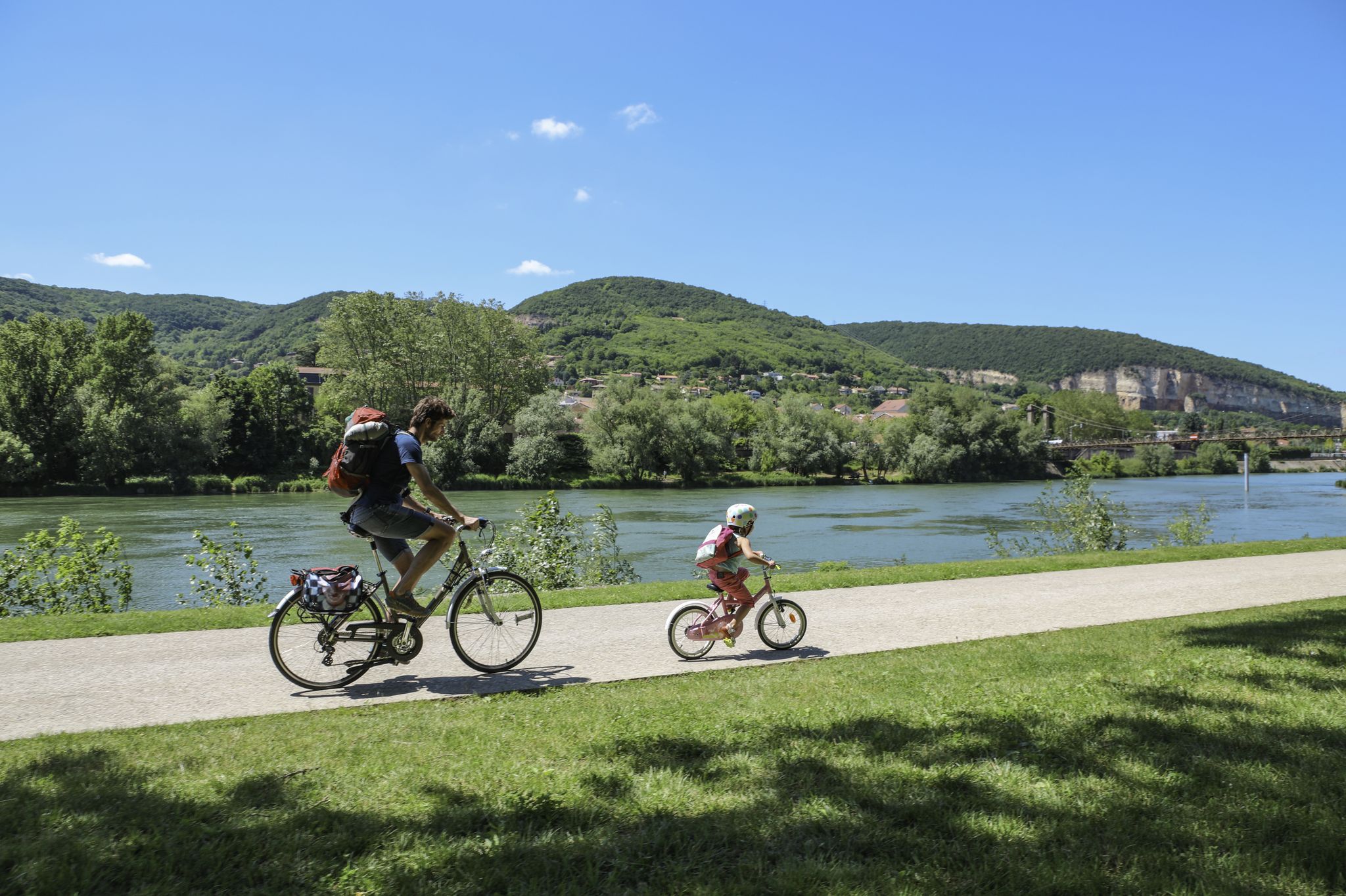
The Voie Bleue – Moselle-Saône by bike
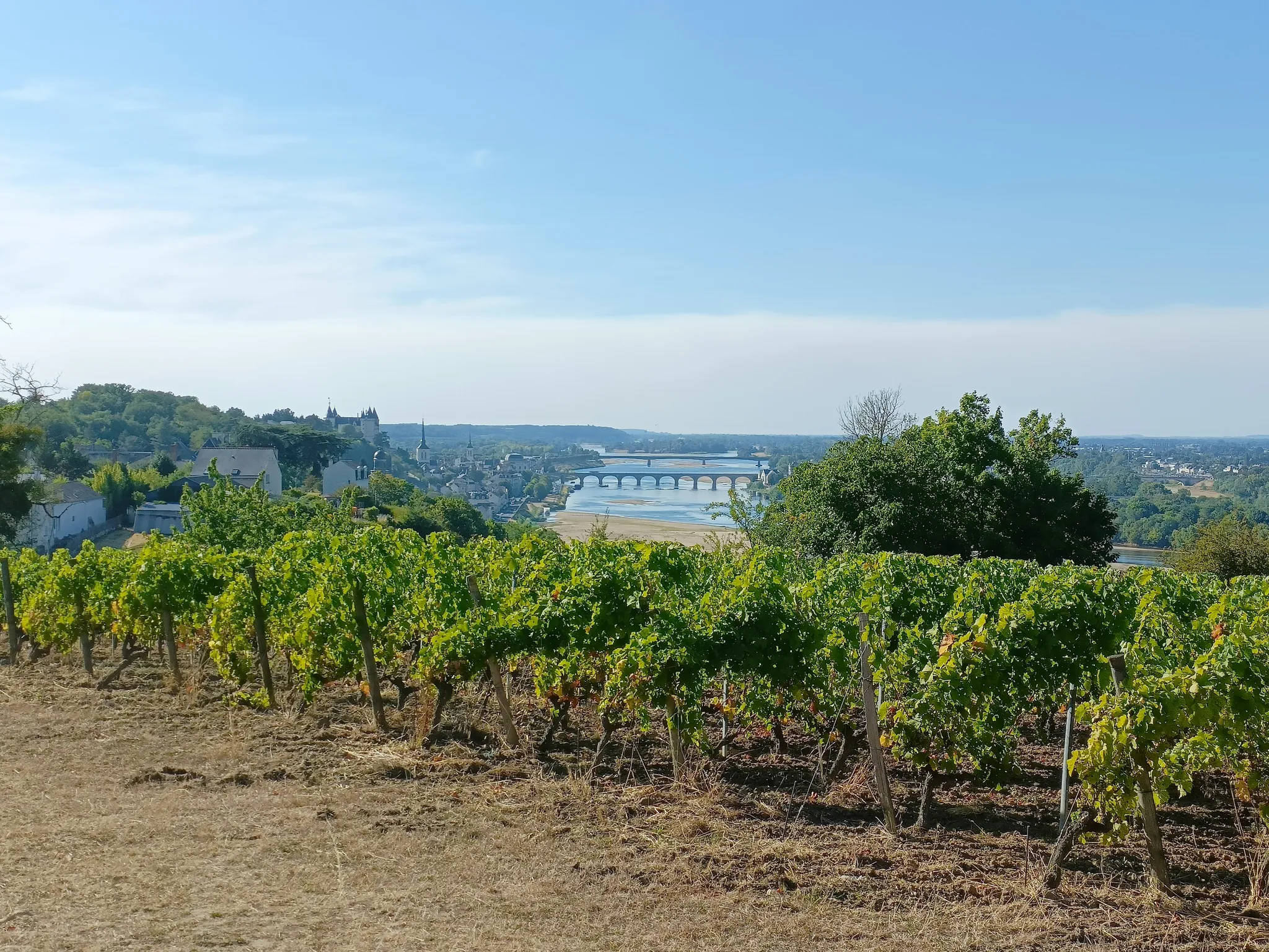
GR3 from the ocean to its source – The Loire, a wild European river
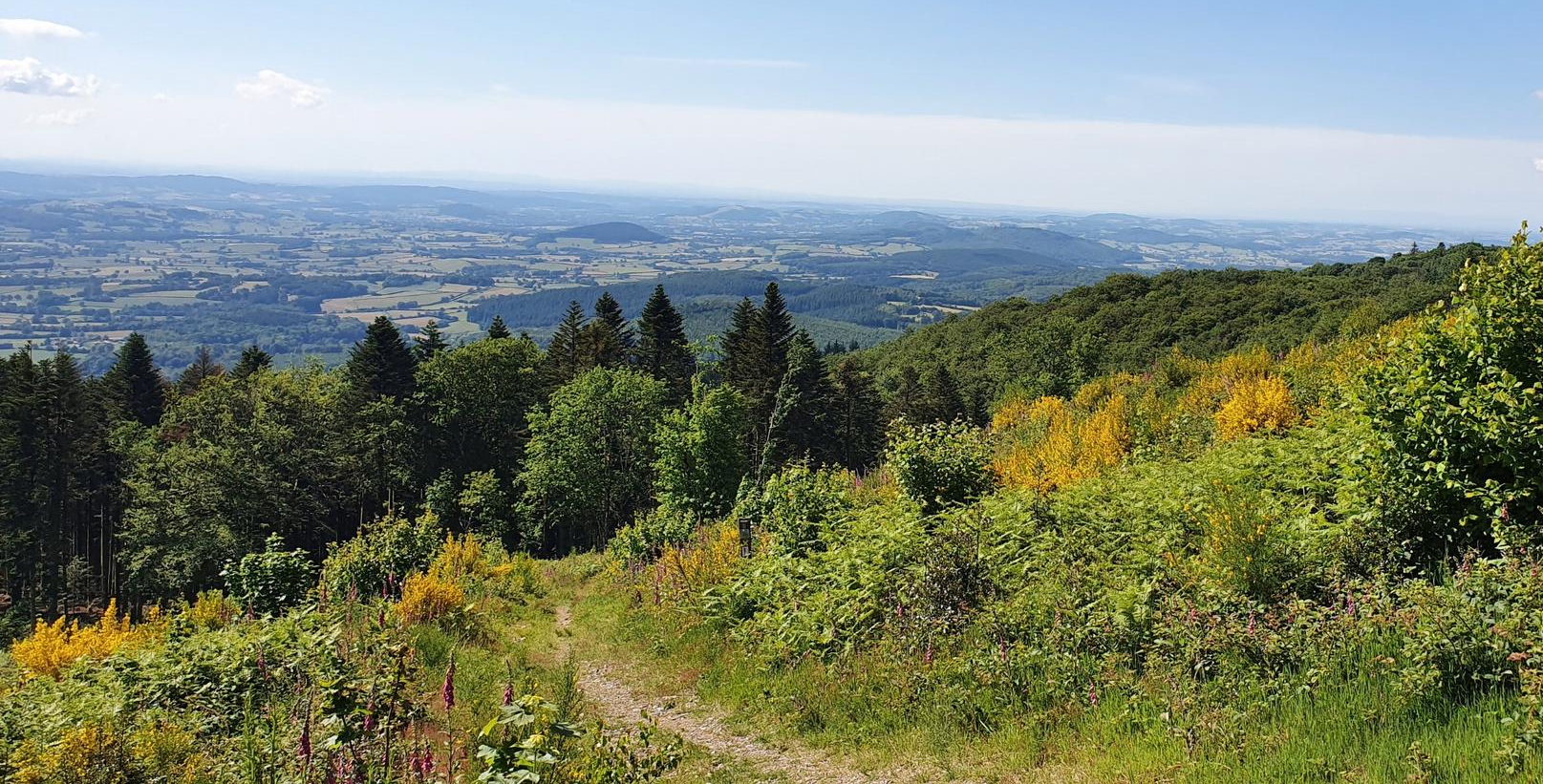
Bibracte-Alesia Hiking Trail – In the footsteps of the Gauls
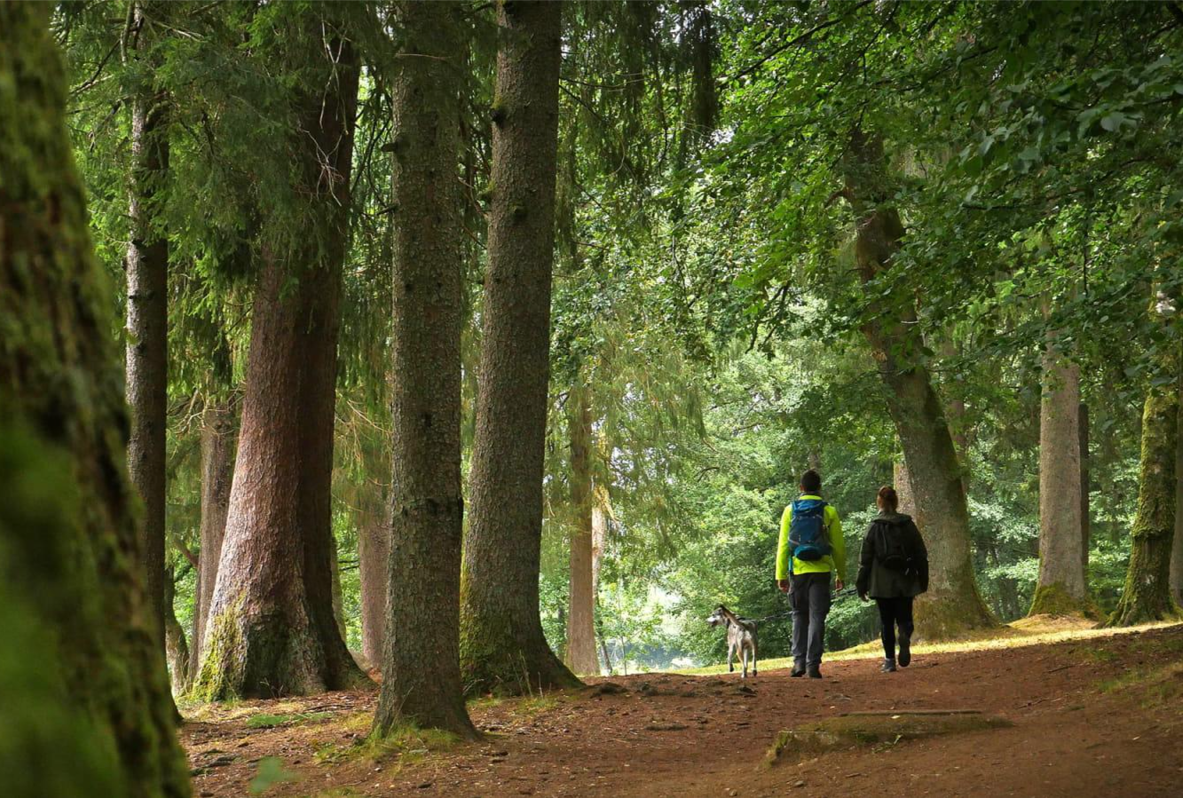
Tour du Morvan — The little mountain of Burgundy
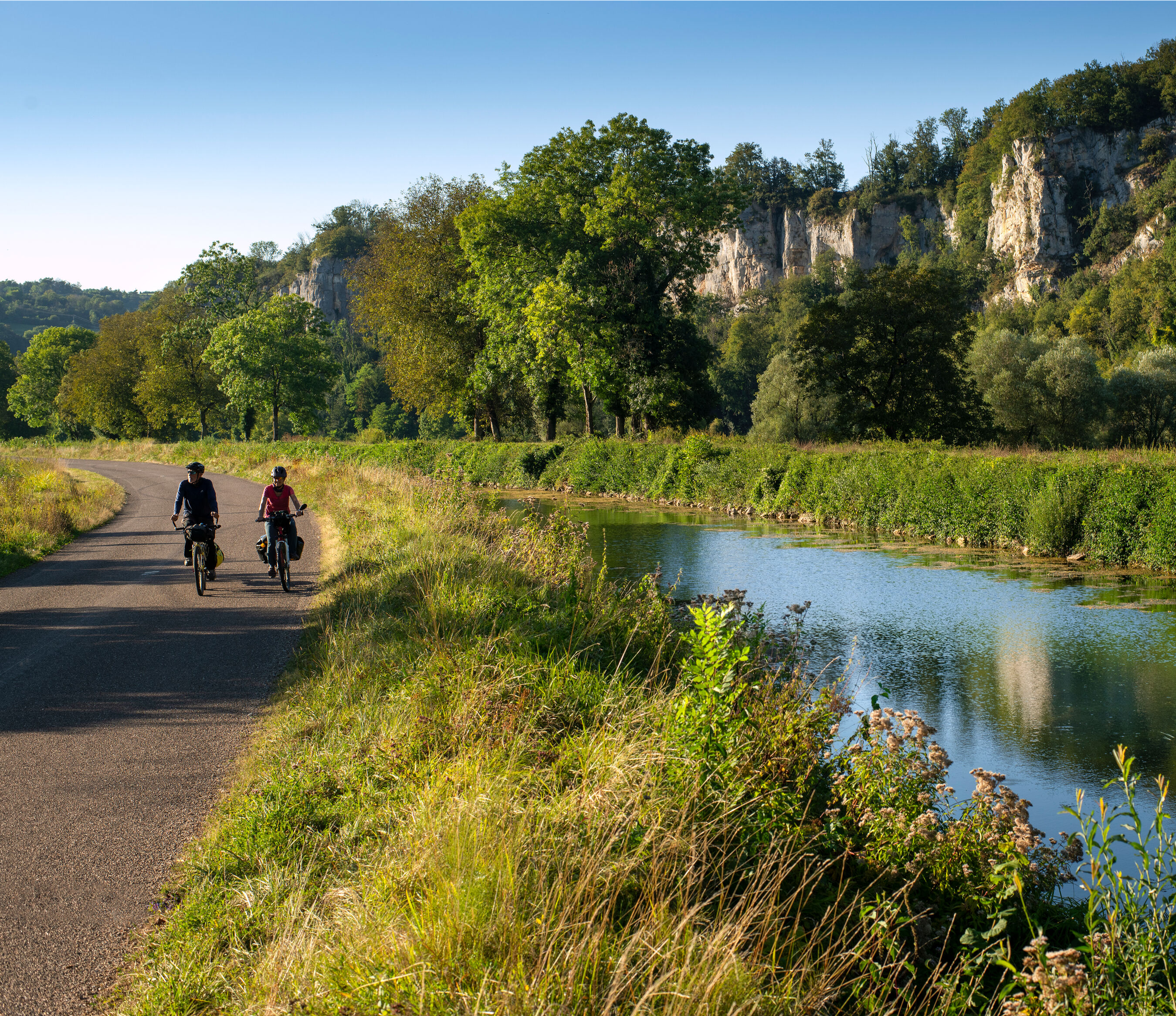
Burgundy-Franche-Comté by bike – between vineyards and peaks
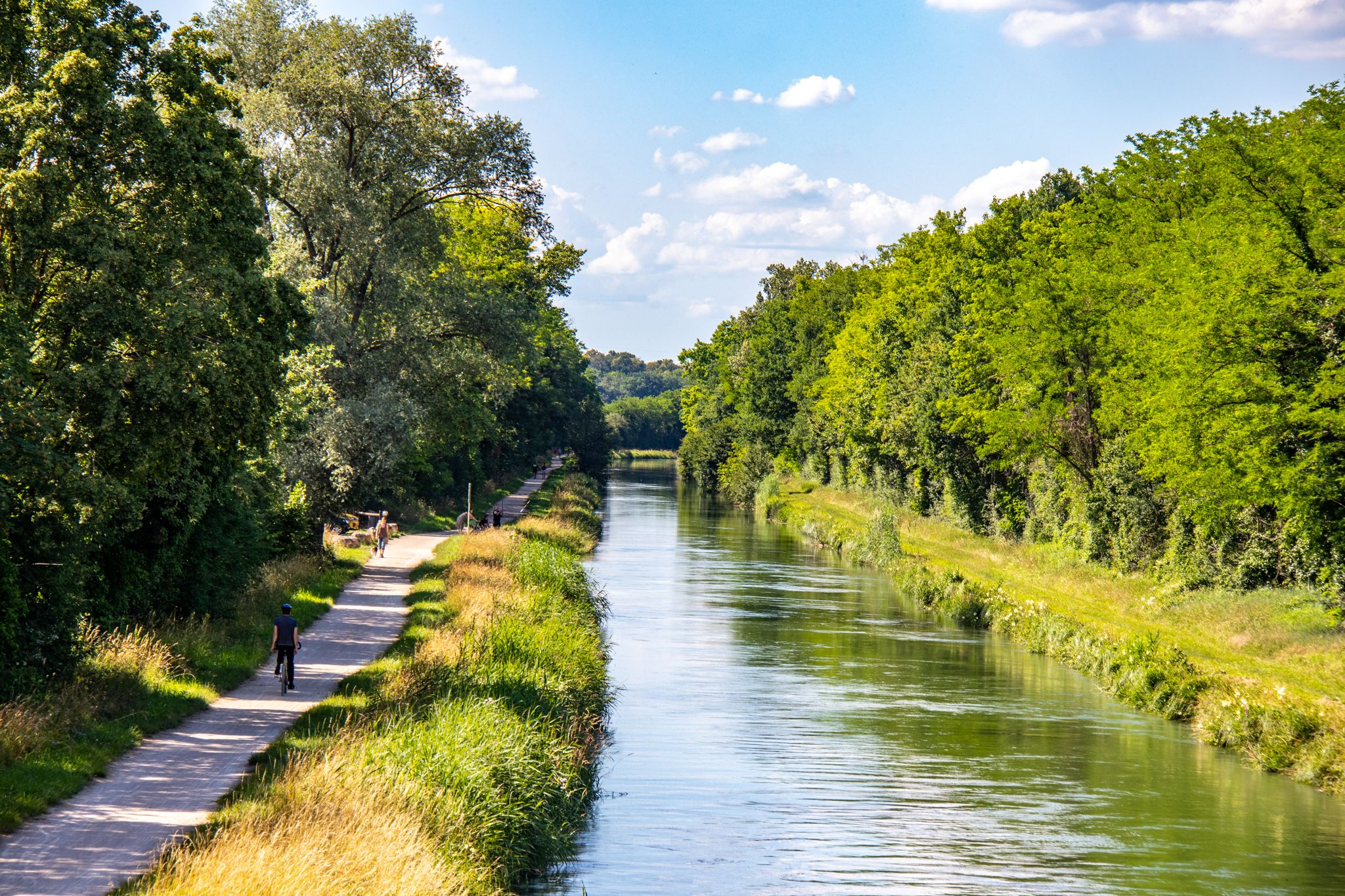
EuroVelo 6 – between the Rhine and the Loire by bike
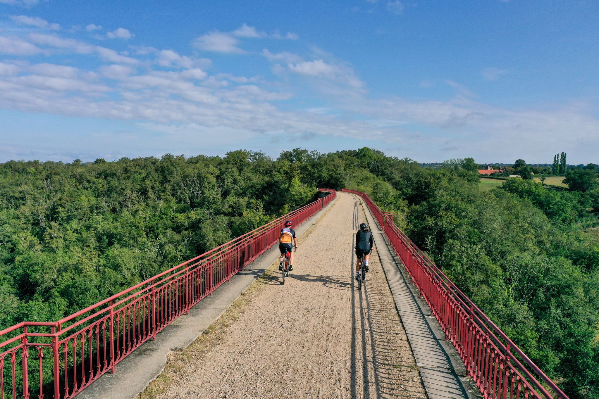
Allier Bourbonnais by bike – mythical routes and secret escapes
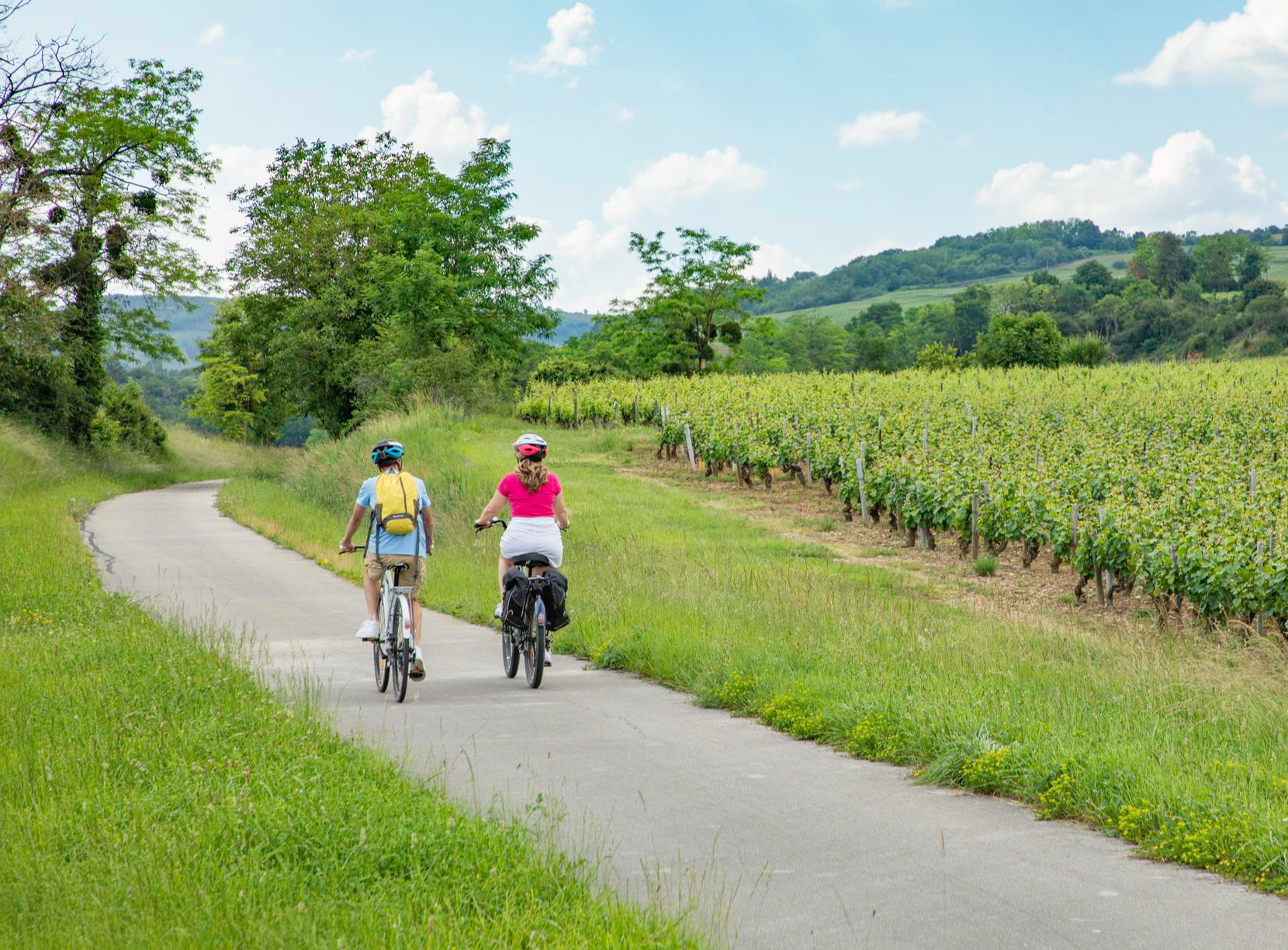
Les Vélœno71 – discover the grape varieties of Saône-et-Loire
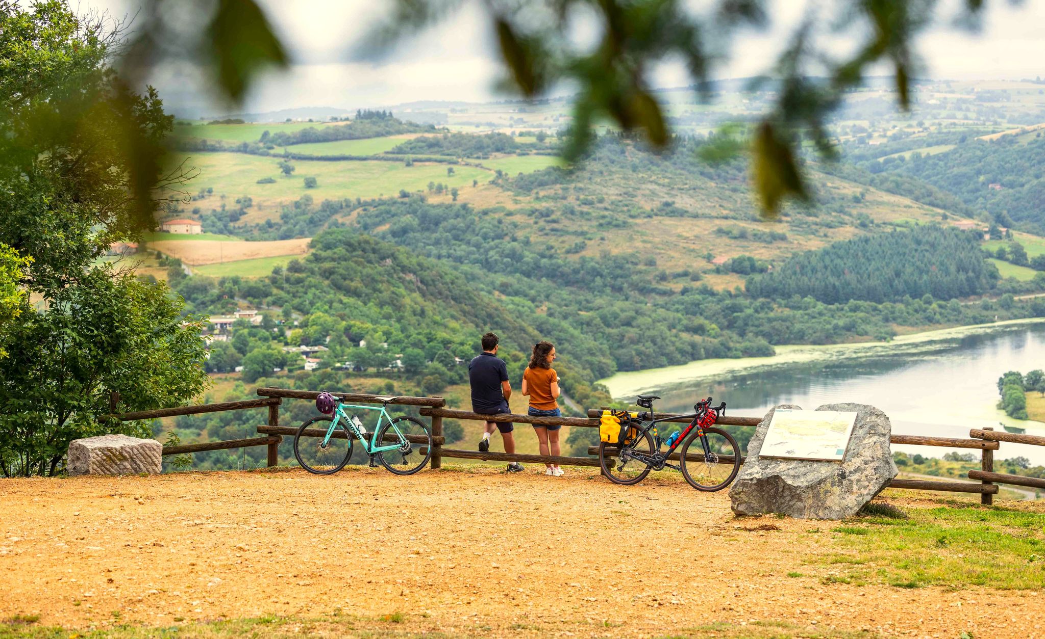
A green escape along the Loire river – La Véloire
Other adventures in Saône-et-Loire


Tips from the Community

Magnificent view, which is worth the climb. Unfortunately, the refreshment stop was closed.
1
0
La Butte de Suin is a 593-meter-high viewpoint hill in the Saône-et-Loire department, near the small French municipality of Suin. From the summit, there is an impressive 360-degree panoramic view. In clear weather, you can look far over the hilly landscapes of Southern Burgundy (including the Charolais and Clunysois regions, and as far as Beaujolais). At the summit, there is a striking statue of the Virgin Mary, an orientation table for hikers, and the remains of an old fortress that was used from the Celtic period until the 16th century.
0
0
Mont Saint-Romain is a 579-meter-high mountain in the Mâconnais mountains above the picturesque valley of Blanot. From the summit, you have a comprehensive 360-degree view. To the west, you look out over the hills of Clunisois, and to the east, over the Saône valley. In very clear weather, the view extends to the Alps and Mont Blanc. On the roof of the local Auberge, there is a distinctive, historic orientation table, which was erected in 1948 by the Touring-Club de France. Directly at the viewpoint, a small Auberge (mountain inn) with an outdoor terrace invites you to stop for a break.
1
0
From up here, there is a sweeping panoramic view over the wide Saône valley and the typical, gently rising vineyards of the Mâconnais. The area is a popular destination for hikers and mountain bikers who enjoy the view along the winding paths through the vineyards.
1
0
The rock is located in the south of the Burgundy region (Département Saône-et-Loire), not far from the town of Mâcon. Its distinctive profile rises out of a vast "sea of vines". The vineyards shown belong to the well-known Mâconnais wine region and produce renowned white wines such as Pouilly-Fuissé. The entire area is protected as a Grand Site de France and is also one of the most important prehistoric sites in Europe.
2
0
Mont Saint-Cyr is located in southern Burgundy (Saône-et-Loire department) in the municipality of Montmelard and, at 771 meters, is the highest point in the Mâconnais mountains. From the summit, there is a wide panoramic view of the surrounding landscapes of Charolais, Brionnais, and Clunisois. In very clear weather, the view extends eastwards to Mont Blanc in the Alps. On the mountain are the historical remains of a 10th-century monastery, which was destroyed during the Wars of Religion. There is a picnic area in the forest, as well as orientation panels that help identify the surrounding peaks and valleys.
0
0
Mont Saint-Cyr is located in southern Burgundy (Saône-et-Loire department) in the municipality of Montmelard and, at 771 meters, is the highest point of the Mâconnais mountains. From the summit, there is a wide panoramic view of the surrounding landscapes of Charolais, Brionnais, and Clunisois. In very clear weather, the view extends eastwards to Mont Blanc in the Alps. On the mountain are the historical remains of a 10th-century monastery, which was destroyed during the Huguenot Wars. There is a picnic area in the forest as well as orientation panels that are helpful in identifying the surrounding peaks and valleys.
0
0

nice forest path, passing over the summit of Mont Beuvray (821m)
0
0
Frequently Asked Questions
What is the highest mountain peak in Saône-et-Loire?
The highest point in Saône-et-Loire, and indeed the entire Burgundy region, is Haut Folin, culminating at 901 meters (or 910m according to some sources). It is located within the Morvan massif and is entirely covered by forest, offering a haven for nature lovers.
Which peaks offer the most expansive panoramic views in Saône-et-Loire?
For breathtaking panoramic views, consider visiting Signal de la Mère Boitier, which provides a 360-degree vista encompassing the Alps, Jura mountains, and the Saône plain. Another excellent choice is Mont Saint-Cyr, offering vast views of the Charolais, Brionnais, and Clunisois regions. On clear days, both can offer glimpses of Mont Blanc. Additionally, Mont Saint-Romain provides wide-ranging views over the Clunisois, Haut-Mâconnais, Saône valley, and distant Jura and Alps.
Are there mountain peaks with significant historical importance in Saône-et-Loire?
Yes, several peaks boast rich history. Mont Beuvray is a notable example, recognized as the ancient capital of the Gallic Aedui people, with the Gallo-Roman museum of Bibracte at its foot. The iconic Roche de Solutré is archaeologically significant, featuring a prehistory museum nearby. The Three Crosses Mountain (Montagne des Trois Croix) is a site of ancient worship with evidence of dolmens dating back to the Neolithic era.
What outdoor activities can I do near these mountain peaks?
The region offers a variety of outdoor activities. Near the mountain peaks, you can find numerous hiking and mountain biking opportunities. For hiking, explore trails like the 'Roche de Solutré to Roche de Vergisson — loop' or the 'Uchon, the Land of Rocks Loop'. Mountain biking enthusiasts can enjoy routes such as the 'Tacot Trail – Haut-Folin Summit loop from Saint-Prix'. You can find more details on these and other routes in the Hiking in Saône-et-Loire and MTB Trails in Saône-et-Loire guides.
Which peaks are best for nature lovers and offer unique natural features?
Haut Folin is entirely covered by forest and features a remarkable natural reserve with a lake and peat bog, rich in diverse fauna and flora. Mont Beuvray is recognized as a ZNIEFF (Natural Zone of Ecological Interest, Fauna and Flora) and Natura 2000 site, important for biodiversity. The area around Uchon, known as 'the Land of Rocks', offers distinctive geological landscapes with unique granite rock formations.
Are there family-friendly mountain peaks or easy trails in Saône-et-Loire?
Yes, some peaks offer easier access and amenities suitable for families. Signal de la Mère Boitier is accessible by car with a short walking trail to the orientation table and has a picnic area. Mont Saint-Cyr also features a picnic area and a playground. For easy hikes, consider trails like 'Le chemin des Chèvres — loop in the parc naturel régional du Morvan' or 'The château de Rully and the montagne de la Folie — loop' which are listed in the Hiking in Saône-et-Loire guide.
Can I see Mont Blanc from any of the peaks in Saône-et-Loire?
Yes, on very clear days, Mont Blanc can be spotted from several peaks. These include Haut Folin, Signal de la Mère Boitier, Mont Saint-Cyr, and Butte de Suin. The visibility depends heavily on weather conditions.
What is special about the <a href="https://www.komoot.com/highlight/290236" target="_blank" rel="noopener">Roche de Solutré</a>?
The Roche de Solutré is a striking limestone escarpment and an iconic symbol of the region. It offers stunning views of the Mâconnais hills and vineyards. Beyond its natural beauty, it holds significant archaeological importance with a prehistory museum at its base, making it a unique blend of natural and cultural heritage. It's often combined with the nearby Vergisson Rock for a loop hike.
Are there any peaks that are particularly good for winter activities?
Haut Folin transforms into a cross-country skiing hub in winter when snow conditions permit, offering 40 km of marked trails. A refuge chalet at the start of the pistes provides a warm spot, and equipment rental is available, making it ideal for winter sports enthusiasts.
What do visitors enjoy most about the mountain peaks in Saône-et-Loire?
Visitors frequently praise the exceptional panoramic views and the rich historical and natural heritage. For instance, the Vergisson Rock is loved for its 'unmissable viewpoint' and fewer crowds compared to its famous neighbor. The Three Crosses Mountain is appreciated for its 'wonderful view' and historical significance. Many highlights, such as Mount Avril, are noted for their 'breathtaking point of view' and 360° panoramas.
Which peak offers a unique blend of history and panoramic views in the Charolais region?
The Butte de Suin, a rocky hill at 600 meters, offers a 360-degree panorama of Charolais, Clunysois, and even Mont Blanc on clear days. It also boasts a rich history, having been a fortified site from the Celtic era until the 16th century, with remnants of an oppidum, Roman temple, and medieval castle, providing both stunning views and historical depth.
Where can I find information about the geological features of the region's peaks?
Mont Saint-Cyr is notable for its volcanic-sedimentary rock at its summit and granitic rock at its base, hosting a regional flora that combines different ecosystems. The area around Uchon, often called 'the Land of Rocks', is characterized by its distinctive granite rock formations, offering a unique geological landscape for exploration.
Most popular routes in Saône-et-Loire
Most popular attractions in Saône-et-Loire

Get inspired with the komoot mobile app


