The 5 Most Amazing Peaks around Saint-Pierre-D'Alvey
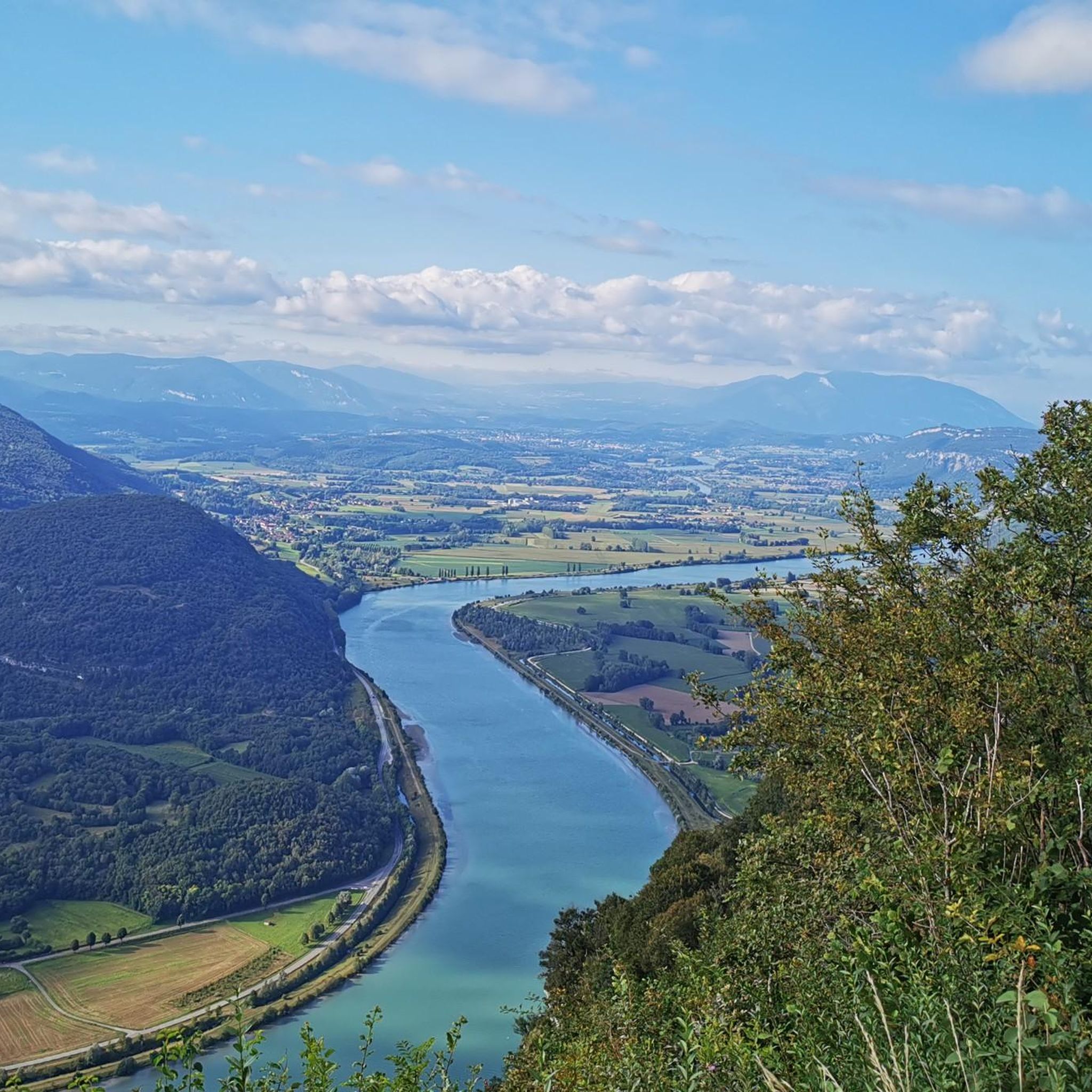
Best mountain peaks around Saint-Pierre-D'Alvey, a commune in the Savoie department of France, features a landscape of rolling hills and elevated terrain, with altitudes ranging from approximately 410 meters to 860 meters. While prominent named peaks are not directly within its administrative limits, the region provides access to notable elevated areas. These locations offer panoramic views of the Rhône river, the Bugey mountains, the Chartreuse massif, and Lake Aiguebelette.
Best mountain peaks around Saint-Pierre-D'Alvey
- The most popular mountain peaks is…
Last updated: July 2, 2026
Épine Pass
Highlight • Summit
The pass is closed in winter
Translated by Google •
Tip by

Saint-Michel Pass
Highlight • Mountain Pass
Translated by Google •
Tip by

Sign up now to discover places like this
Get recommendations on the best single tracks, peaks, & plenty of other exciting outdoor places.
Sign up for free
Signal du Mont du Chat
Highlight • Summit
Translated by Google •
Tip by

Mont du Chat lookout (1504 m)
Highlight • Lake
The view at the top is worth it and in high season there is a restaurant bar for refueling.
Translated by Google •
Tip by

Cat's Tooth
Highlight • Summit
The piece on the dent - requires a head for heights and surefootedness.
It goes over ladders, heed the warning notices!
Translated by Google •
Tip by

Sign up for free to discover even more peaks around Saint-Pierre-D'Alvey.
Sign up for free
Already have an account?
Start today with a free account
Your next adventure awaits.
Login or Signup

Tips from the Community


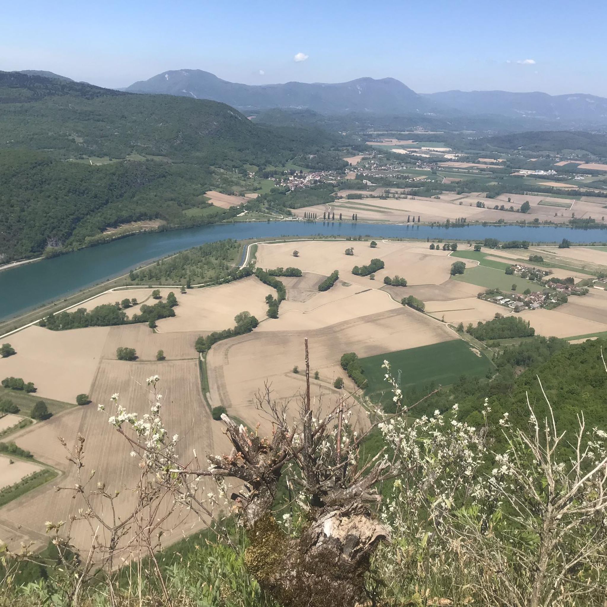
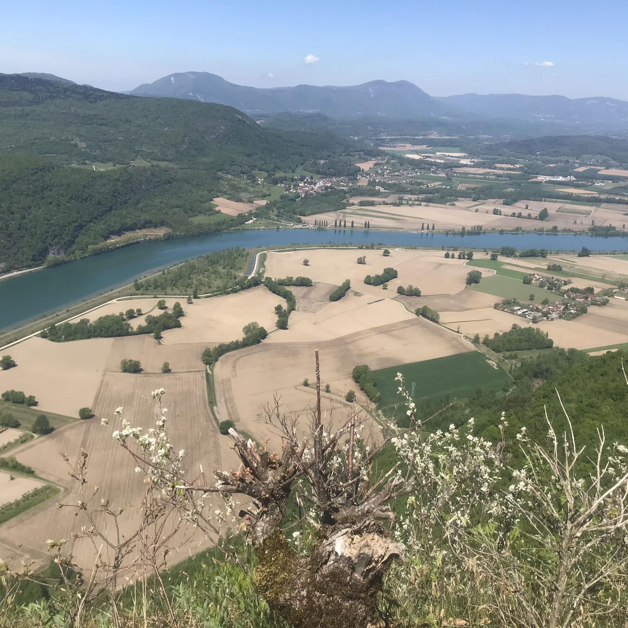
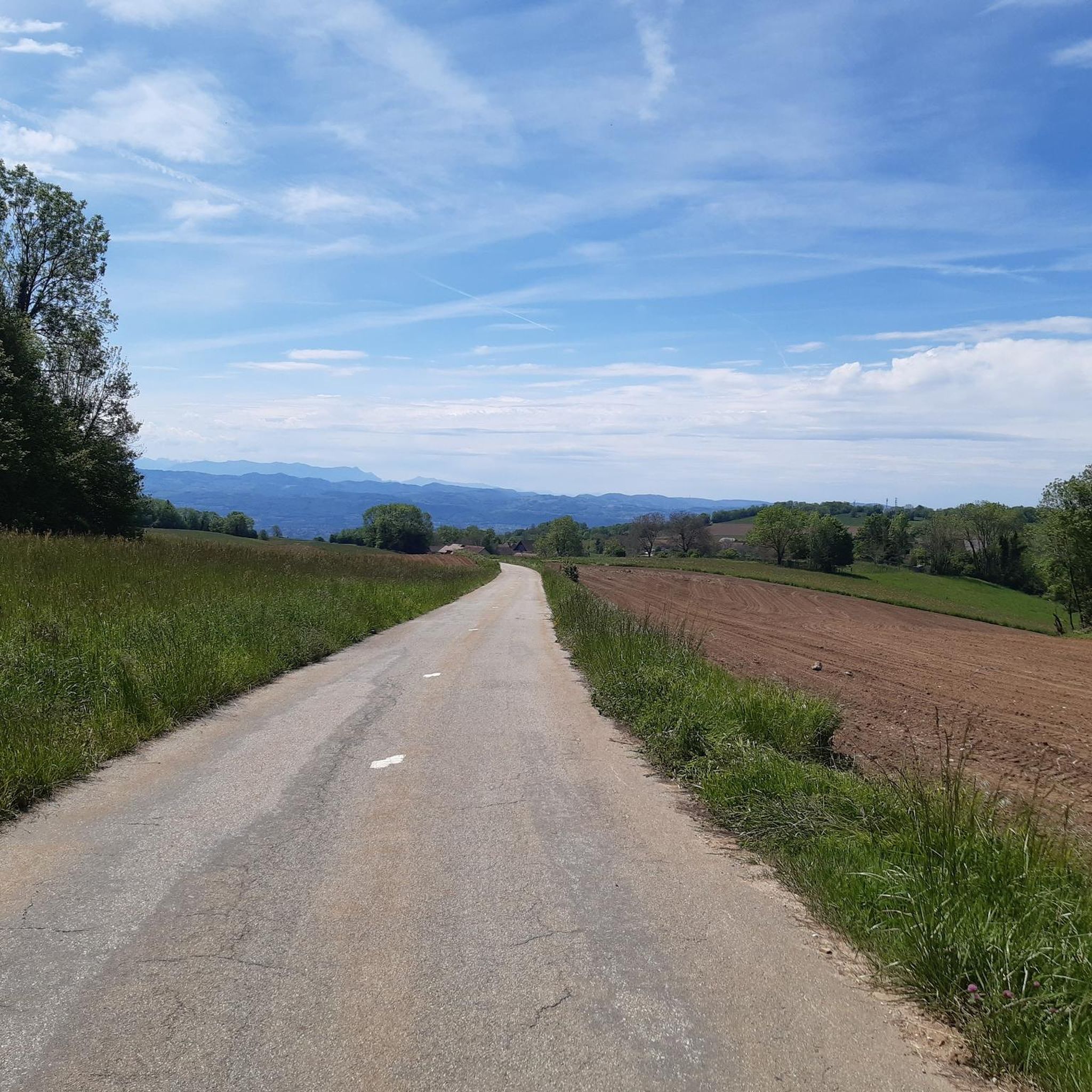
A very quiet and pleasant road. On the Chambéry side, a good part is in the shade, the slope of the main road is rather constant around 7-8%. On the Novalaise side, the mineral aspect with the cliff is more present in the middle of the climb. This side is quite steep with kilometers at 8-9%. On each side, 1 belvedere offers a breathtaking view of Lake Aiguebelette (approx. 2 km from the summit) and on the other side of Chambéry, the Bauges, Belledonne, the Chartreuse (500 m from the summit). The summit is in the forest.
1
0

Leaving from Chambery, the beginning hurts a little, but the rest is quite good
0
1

There is a mistake about the valleys!
2
0

A pass and a viewpoint that is worth it. Very little respite, mostly 10-11%. 13km of climbing.
0
0

Pass without too much traffic. Quite steep start to reach Saint Sulpice, the rest is rather regular. The pass is closed in winter
2
0

Unmissable “road cycling” of the Col de l'Épine located at an altitude of 990 m.
1
0
Frequently Asked Questions
What are some notable elevated areas or passes to explore around Saint-Pierre-D'Alvey?
While Saint-Pierre-D'Alvey itself features rolling hills, the surrounding region offers several elevated areas and passes. You can explore Mont de Cordon, known for its panoramic views of the Rhône river and historical caves, or Mont Tournier, which provides breathtaking vistas of the Rhône and distant mountain ranges. Additionally, the Épine Pass offers views of Chambéry and Lake Bourget.
What kind of views can I expect from the elevated areas near Saint-Pierre-D'Alvey?
The elevated areas around Saint-Pierre-D'Alvey offer diverse and stunning views. From Mont de Cordon, you can see the Rhône river, the Bugey mountains, and the Chartreuse massif. Mont Tournier provides expansive panoramas of the Rhône, the plain of Yenne, Mont du Chat, and the Montagne de l'Épine. The Épine Pass offers views of Chambéry, Lake Bourget, and the Bauges massif, while Saint-Michel Pass provides shaded hikes with views of Lake Aiguebelette.
Are there hiking trails suitable for different fitness levels near Saint-Pierre-D'Alvey?
Yes, the region offers a variety of hiking trails. For moderate options, consider routes like the 'Tour du Mont de Cordon' which takes about 2 to 3 hours. You can also find moderate trails such as 'Sons' Lookout – Mount Tournier loop' or 'Recorba Viewpoint – Mount Tournier loop' which are detailed in the Hiking around Saint-Pierre-D'Alvey guide. For easier walks, the 'Cave with Creek – Recorba Viewpoint loop' is a good choice.
What other outdoor activities are popular in the Saint-Pierre-D'Alvey area?
Beyond hiking, the area is popular for cycling and mountain biking. The Col du Mont Tournier is a recognized climb for cyclists. You can find various routes for both touring bicycles and mountain bikes, including challenging loops around Lake Aiguebelette and the Col du Mont Tournier. Explore more options in the Cycling around Saint-Pierre-D'Alvey and MTB Trails around Saint-Pierre-D'Alvey guides.
Are there any easy or family-friendly mountain walks?
Yes, for easier walks, the 'Cave with Creek – Recorba Viewpoint loop' is a good option, covering about 6.18 km. Another easy route is the 'Sons' Lookout loop' at 6.9 km. These trails offer a chance to enjoy the elevated terrain without extreme difficulty, making them suitable for families. Always check specific trail conditions before heading out.
What are some challenging climbs for experienced hikers or cyclists?
For those seeking a challenge, the Signal du Mont du Chat and the Mont du Chat lookout (1504 m) offer very difficult climbs, with sections averaging 10% gradient over 12 km. These routes are demanding but reward with fantastic views. The ascent to Col du Mont Tournier also presents a significant challenge for cyclists, with an average gradient of 6.1% over 10 kilometers.
What unique natural features can be found in the elevated areas?
The region boasts several unique natural features. Mont de Cordon is part of the Jura massif, characterized by marl and limestone, and is a natural protected area (ZNIEFF) known as a nesting site for the Eurasian eagle-owl. It also features prehistoric caves like the Grotte de la Bonne-Femme. The elevated areas frequently offer views of Lake Aiguebelette, known for its turquoise waters.
Are there any historical sites or points of interest on these elevated routes?
Yes, history is woven into the landscape. Mont de Cordon is home to the Château de la Barre and prehistoric caves. The Saint-Michel Pass has visible traces of its past as an important Roman connection. On Mont Tournier, you can discover historical watchtowers and a cave believed to have been inhabited by early humans.
What is the best time of year to visit the mountain peaks around Saint-Pierre-D'Alvey?
The best time to visit is generally from spring through autumn. During these seasons, the weather is more favorable for hiking and cycling, and trails are typically clear. It's important to note that some passes, like the Épine Pass, are closed in winter due to snow and ice, limiting accessibility and activities.
What should I know about specific challenges on these routes?
Some routes present specific challenges. The ascent to Cat's Tooth involves sections with ladders, requiring a head for heights and surefootedness. The climbs to Signal du Mont du Chat and Mont du Chat lookout are very difficult with steep gradients. Always check current conditions and be prepared for varied terrain, especially on longer or more challenging routes.
Are there any dog-friendly trails in the area?
Many natural trails in the region are suitable for dogs, provided they are kept on a leash and you follow local regulations regarding protected areas. For specific routes, it's always best to check individual trail descriptions or local signage for any restrictions, especially in ecologically sensitive zones like the ZNIEFF at Mont de Cordon.
What do visitors enjoy most about the mountain peaks and elevated areas near Saint-Pierre-D'Alvey?
Visitors particularly appreciate the breathtaking panoramic views, especially from spots like Épine Pass and the Mont du Chat lookout, which are often described as worth the challenging climb. The diverse landscapes, from forested paths to open sections, and the opportunity to discover historical elements like those at Saint-Michel Pass, also contribute to a rewarding experience.
Most popular routes around Saint-Pierre-D'Alvey
Most popular attractions around Saint-Pierre-D'Alvey

Get inspired with the komoot mobile app


Explore more
See even more amazing summits around Saint-Pierre-D'Alvey with these guides:
