The best running trails in Shoshone National Forest
4.0
(1)
58
runners
11
runs
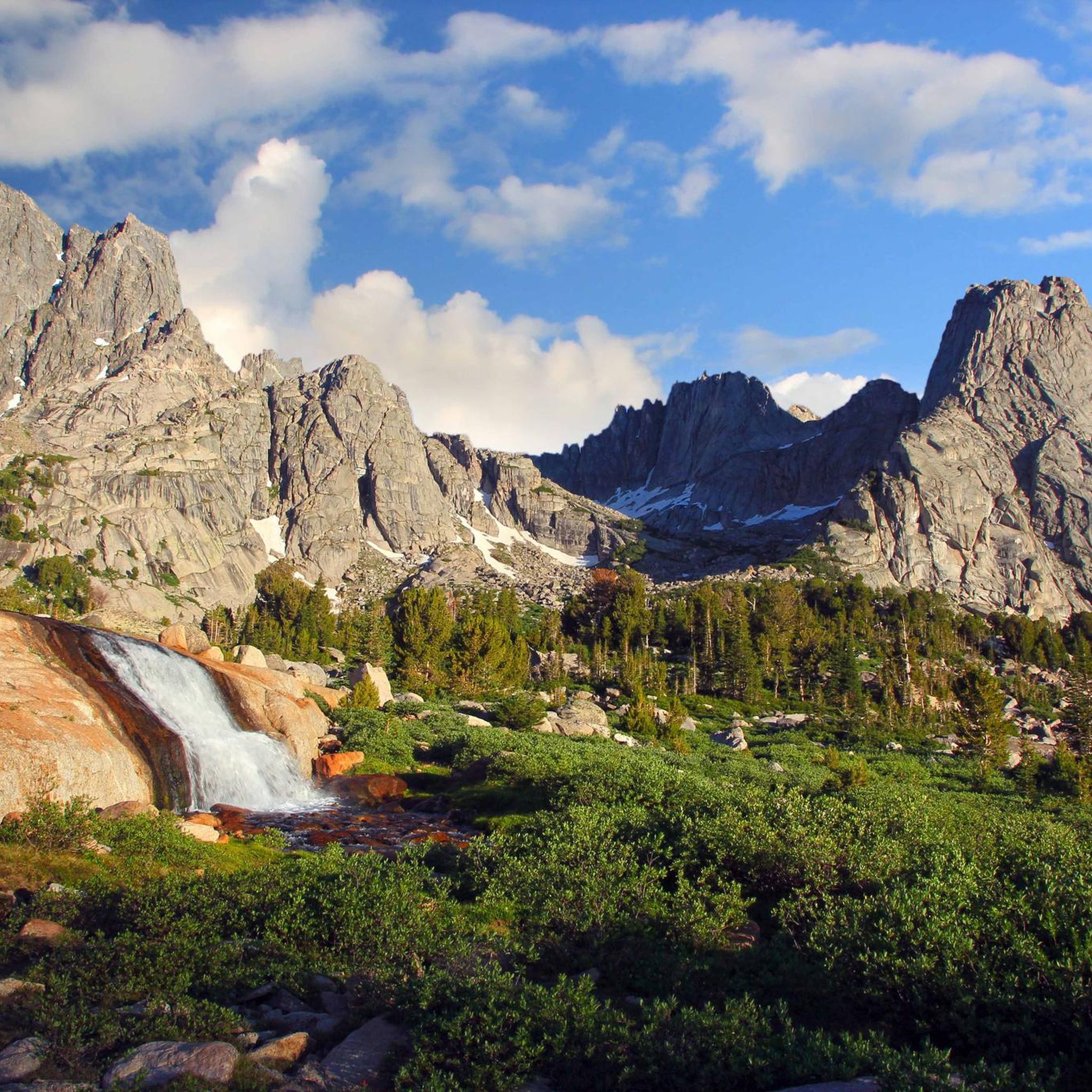
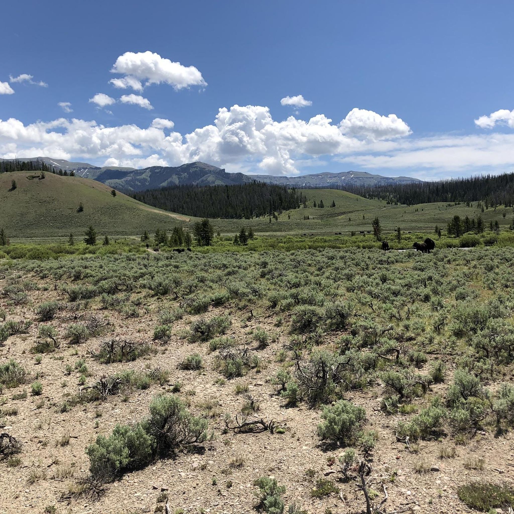
Jogging in Shoshone National Forest offers routes through diverse landscapes, from lush grasslands and sagebrush plains to dense spruce forests and alpine meadows. The region is characterized by majestic mountain ranges, including portions of the Absaroka, Wind River, and Beartooth ranges, providing varied elevation profiles. Glacial-carved valleys, crystal-clear alpine lakes, and numerous streams also define the terrain, offering scenic backdrops for running. Over 1,300 miles of trails are available, catering to different fitness levels.
Best jogging routes in Shoshone National…
Last updated: October 11, 2026
9
runners
5.47km
00:45
190m
190m
Moderate run. Good fitness required. Mostly paved surfaces. Suitable for all skill levels.
3
runners
10.8km
01:08
90m
90m
Moderate run. Good fitness required. Mostly paved surfaces. Suitable for all skill levels.

15
runners
5.46km
00:34
20m
10m
Moderate run. Good fitness required. Mostly paved surfaces. Suitable for all skill levels.
7
runners
6.70km
00:42
50m
50m
Moderate run. Good fitness required. Mostly paved surfaces. Suitable for all skill levels.
3
runners
5.00km
00:31
20m
20m
Easy run. Great for any fitness level. Mostly paved surfaces. Suitable for all skill levels.
Get access to more routes and recommendations from other explorers.
Already have an account?
Our route recommendations are based on thousands of hikes, rides, and runs completed by other people on komoot.
Start today with a free account
Your next adventure awaits.
Popular around Shoshone National Forest
Tips from the Community

Today an iconic building in Lander and for some considered a monument, the grain mill was built in 1888 following the increase demand of flour in the area. It served its purpose until the 1950s and reopened to the public in 2008 as a multipurpose building and a meditation center.
3
0
Amazing hike all year round! The trail goes along the river and there are several panoramic spots where you'll get amazing and beautiful photos!
3
0
Frequently Asked Questions
How many running routes are available in Shoshone National Forest?
Shoshone National Forest offers a wide selection of running routes. Our guide features 7 distinct routes, but the forest boasts over 1,300 miles of trails in total, providing countless options for runners of all levels.
What kind of terrain can I expect on the running trails in Shoshone National Forest?
The terrain in Shoshone National Forest is incredibly diverse. You can expect to run through lush grasslands, sagebrush plains, dense spruce and fir forests, and expansive alpine meadows. Many routes feature glacial-carved valleys, crystal-clear alpine lakes, and scenic streams, with varied elevation profiles due to the majestic Absaroka, Wind River, and Beartooth mountain ranges.
Are there any easy or family-friendly running routes in the Shoshone National Forest?
Yes, there are routes suitable for families and those seeking an easier run. For example, the Markham Reservoir loop from Cody is rated as easy and offers a pleasant experience. The extensive trail system includes paths catering to various fitness levels, from relatively flat sections to more challenging inclines.
What are some notable natural attractions or landmarks I might see while jogging?
Shoshone National Forest is rich with natural beauty. Along your runs, you might encounter stunning waterfalls like Middle Falls Fork Trail or Lake Creek Falls. The region also features majestic summits such as Avalanche Peak and Gannett Peak, and impressive mountain passes like Beartooth Pass.
What do other runners say about the jogging experience in Shoshone National Forest?
The running routes in Shoshone National Forest are highly regarded by the komoot community, holding an average rating of 4.0 stars. Runners often praise the diverse ecosystems, majestic mountain ranges, and glacial features that define the experience, highlighting the variety of options available for different ability levels.
Are there any longer running routes for those seeking a greater challenge?
For runners looking for a longer distance, the Lander Mill loop from Lander is a moderate 6.8-mile (11.0 km) path that offers a mix of open terrain and scenic views. While not explicitly 'difficult' in grade, its length provides a good endurance challenge.
What is the best season for trail running in Shoshone National Forest?
The best season for trail running generally depends on the specific area and elevation. Summer and early fall offer the most accessible conditions across the forest, with warmer weather and trails free of snow. However, higher alpine routes, like those near Beartooth Pass, can be challenging due to extreme altitude and strong winds, even in summer.
Are dogs allowed on the running trails in Shoshone National Forest?
Generally, dogs are permitted on trails within Shoshone National Forest, but they must be kept on a leash. Specific wilderness areas or certain trails might have additional regulations, so it's always best to check local signage or the Forest Service website for the most current rules before heading out with your canine companion.
Where can I find parking at trailheads for running routes?
Many trailheads throughout Shoshone National Forest offer designated parking areas. For example, the Elk Fork Trailhead provides amenities and access to various routes. It's advisable to check specific route details or local forest service information for parking availability at your chosen starting point.
Are there any running routes that offer views of unique geological formations?
Yes, Shoshone National Forest is known for its unique geological features. The Washakie Wilderness, which covers a significant portion of the forest, is particularly noted for its geological formations and petrified forests. While specific running routes through these areas aren't detailed in our guide, many trails will offer glimpses of the region's diverse geology, from volcanic structures to limestone.
What are the regulations or permits needed for running in Shoshone National Forest?
For general running and hiking, specific permits are typically not required for day use in most areas of Shoshone National Forest. However, if you plan to enter designated Wilderness Areas or stay overnight, wilderness permits may be necessary. Always check with the local Forest Service office for the most up-to-date regulations, especially concerning tribal permits in areas like the Popo Agie Wilderness.
Can I find cafes or pubs near the Shoshone National Forest after my run?
Yes, towns bordering the Shoshone National Forest, such as Cody, Dubois, and Lander, offer various amenities including cafes and pubs where you can refuel and relax after your run. These towns serve as convenient bases for exploring the forest.
Are there any running routes that are circular?
Yes, several routes in our guide are circular, offering a convenient way to start and end your run at the same point. Examples include the Middle Falls Fork Trail loop from Fossil Hill, the Lander Mill loop from Lander, and the New Cody Reservoir loop from Cody.
Most popular attractions in Shoshone National Forest

Get inspired with the komoot mobile app


Explore more
Browse the best Running Trails & Routes in other regions.
