The best road cycling routes in Shoshone National Forest
106
riders
6
rides
Road cycling in Shoshone National Forest offers routes through diverse mountainous terrain, characterized by significant elevation changes and expansive forested areas. The region features high mountain passes, river valleys, and scenic roads that traverse the Wyoming landscape. Road cyclists can expect challenging climbs and descents, with routes often reaching considerable altitudes.
Best road cycling routes in Shoshone National Forest
- The most popular road cycling route is Beartooth Pass from Cooke, a 66.8 miles (107.5 km) trail that takes about…
Last updated: July 8, 2026
2
riders
107km
05:38
2,000m
2,000m
Hard road ride. Very good fitness required. Mostly well-paved surfaces and easy to ride.
14
riders
24.7km
01:05
240m
240m
Easy road ride. Great for any fitness level. Mostly well-paved surfaces and easy to ride.

Sign up for free
9
riders
120km
06:52
2,760m
2,760m
Hard road ride. Very good fitness required. Mostly well-paved surfaces and easy to ride.
13
riders
67.3km
03:54
1,650m
1,650m
Hard road ride. Very good fitness required. Mostly well-paved surfaces and easy to ride.
33
riders
61.1km
03:27
1,280m
1,280m
Hard road ride. Very good fitness required. Mostly well-paved surfaces and easy to ride.
Our route recommendations are based on thousands of hikes, rides, and runs completed by other people on komoot.
Start today with a free account
Your next adventure awaits.
Login or Signup
Popular around Shoshone National Forest
Tips from the Community

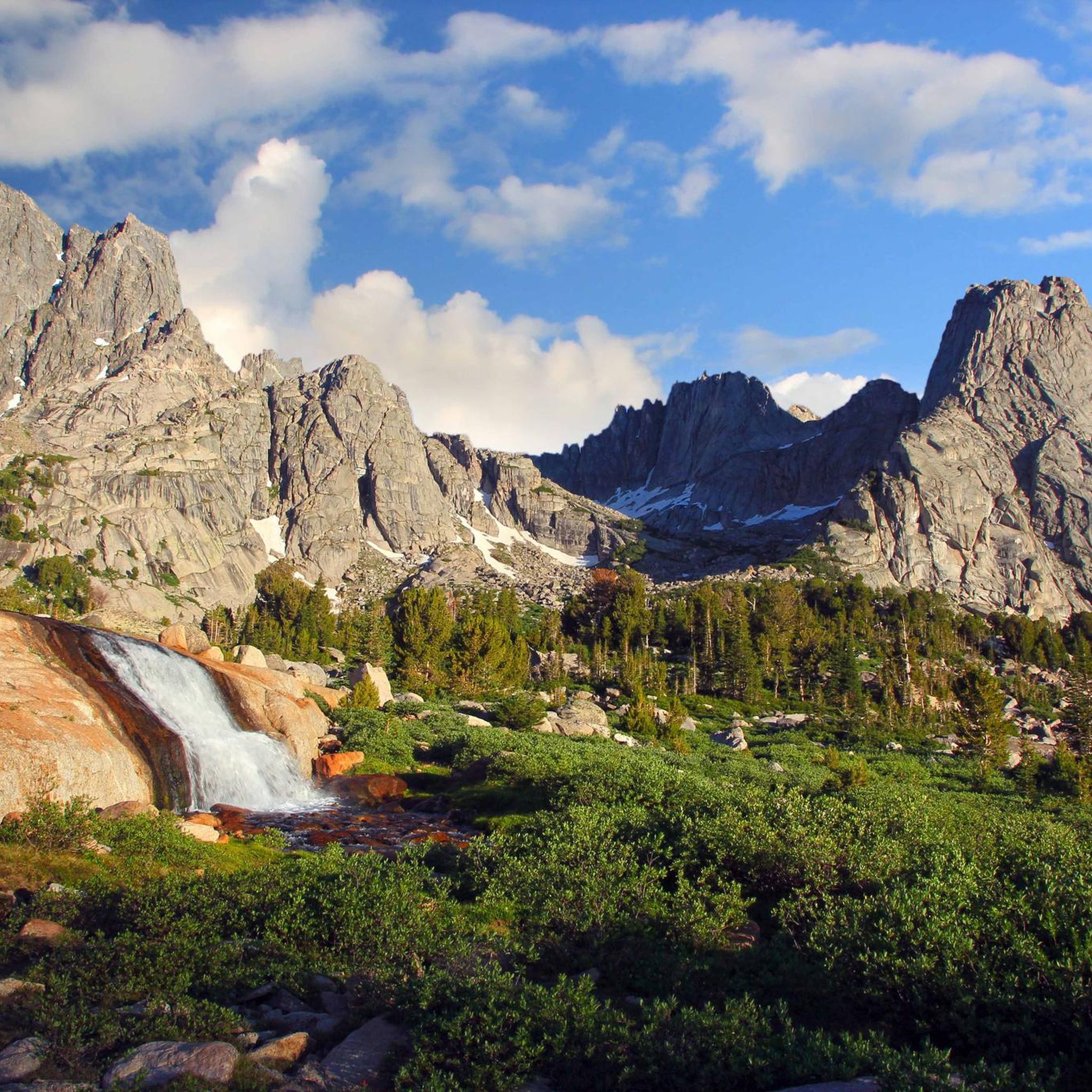
This is one of the shortest hikes you'll ever take, but the payoff is really pretty: You get good views of Lake Creek and the foaming waterfall it creates as it spills downstream. The lake then runs under the Beartooth Scenic Byway, eventually joining the Clarks Fork Yellowstone River.
0
0

Just off the scenic highway, walkable from the road just a few meters. There are great views of Lake Creek with Lake Creek Falls; waterfall cascading thought the valley.
0
0
If heading southbound in Montana you will cross into Wyoming.
0
0
If heading southbound in Montana you will cross the state line into Wyoming.
0
0
Beartooth Lake next to scenic highway 212, and is a popular stop-off over the Beartooth Pass. There are 21 camp sites that are usable on a first come basis. The campground can fill up in summer months and close down in winter months.
0
0
Beartooth Pass and vista sits at an elevation of just over 10,000 feet along the Beartooth scenic highway. This road is closed in the winter. If you look over the horizon you can see "Beartooth" mountain, jutting out like a sharp tooth.
0
0
Frequently Asked Questions
How many road cycling routes are available in Shoshone National Forest?
Shoshone National Forest offers several road cycling routes, with komoot featuring 6 distinct tours. These range from easy river valley rides to challenging high mountain passes.
Are there any easy road cycling routes for beginners or families?
Yes, for those seeking a more gentle ride, the Roadbike loop from Middle Fork Popo Agie River is an excellent choice. It's an easy 15.3-mile (24.7 km) path with minimal elevation gain, suitable for a relaxed outing.
What are the most challenging road cycling routes in Shoshone National Forest?
The region is known for its challenging mountain passes. Routes like Beartooth Pass from Cooke and the State Line Montana/Wyoming – Beartooth Pass loop from Parkside Campground feature significant elevation changes and long distances, making them ideal for experienced road cyclists.
Are there any loop routes for road cycling in the area?
Yes, several routes offer a loop experience. The Roadbike loop from Middle Fork Popo Agie River is an easy loop, while the State Line Montana/Wyoming – Beartooth Pass loop from Parkside Campground and State Line Montana/Wyoming loop from Mount Maurice Trailhead provide more challenging loop options through high mountain scenery.
What kind of scenery can I expect while road cycling in Shoshone National Forest?
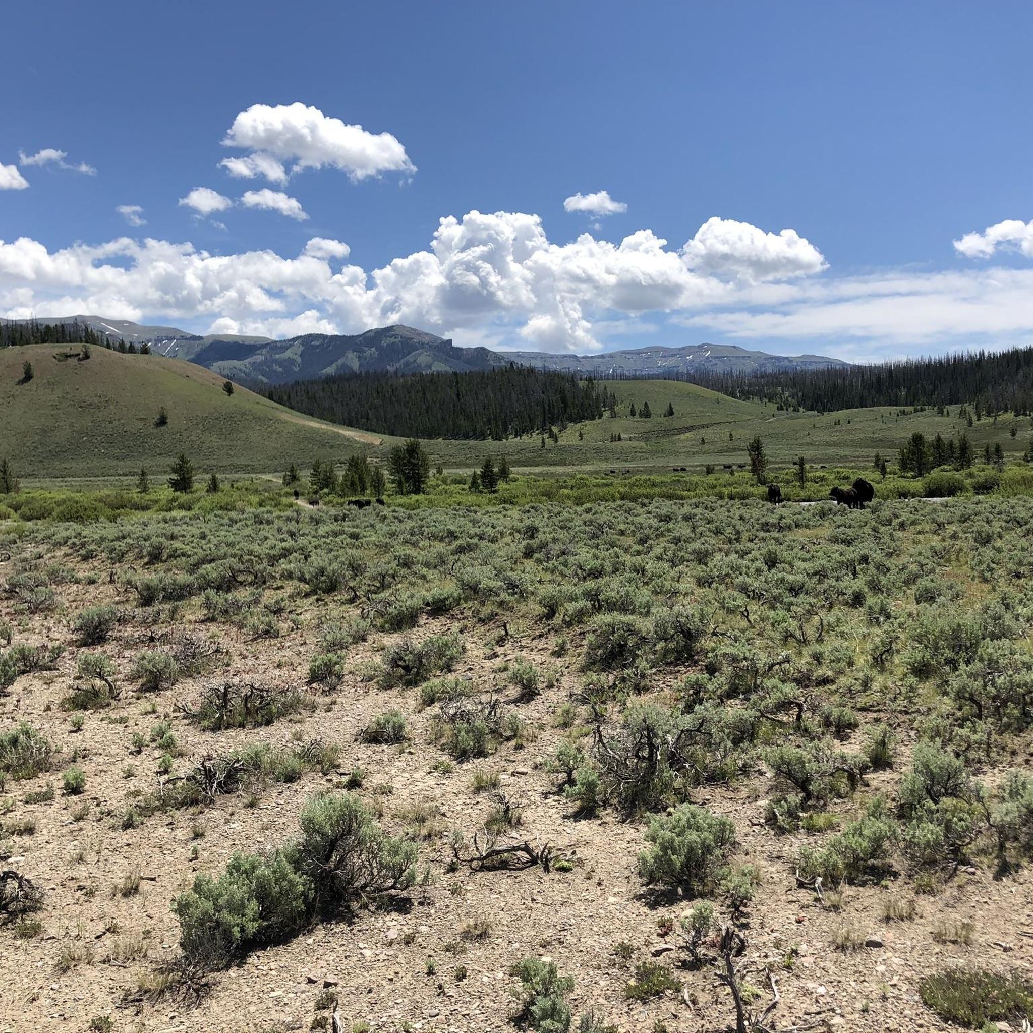
Road cycling in Shoshone National Forest offers diverse mountainous terrain, including high mountain passes, expansive forested areas, and scenic river valleys. You'll experience challenging climbs and descents with routes often reaching considerable altitudes, providing breathtaking views of the Wyoming landscape.
What are some notable attractions or landmarks along the road cycling routes?
Along the routes, you can encounter impressive natural features. Highlights include the challenging Beartooth Pass Climb South, the majestic Avalanche Peak, and the beautiful Lake Creek Falls. The iconic Beartooth Pass itself is a significant landmark.
What is the best season for road biking in Shoshone National Forest?
Due to the high mountain passes and significant snowfall, the prime season for road cycling in Shoshone National Forest is typically late spring through early fall (roughly June to September), when roads are clear of snow and weather conditions are most favorable. Always check local conditions before heading out.
Are there long-distance road cycling routes available?
Yes, Shoshone National Forest features several long-distance routes. For example, State Line Montana/Wyoming – Beartooth Pass loop from Parkside Campground is a substantial 74.9 miles (120.6 km) ride, and Beartooth Pass from Cooke covers 66.8 miles (107.5 km), both offering extensive cycling experiences.
What do other road cyclists enjoy most about road cycling in Shoshone National Forest?
The komoot community frequently praises the challenging mountain passes and the stunning, expansive forested areas. Cyclists often highlight the rewarding climbs and the breathtaking views from high altitudes, making it a memorable experience for those seeking adventure.
Where can I find trailheads or parking for road cycling routes?
Many routes in Shoshone National Forest start from accessible points. For instance, the State Line Montana/Wyoming – Beartooth Pass loop can be accessed from Parkside Campground, and another loop starts from Mount Maurice Trailhead. Specific parking information is usually detailed on individual route pages.
Can I expect to see wildlife while road biking in Shoshone National Forest?
Shoshone National Forest is home to diverse wildlife. While road cycling, you might have opportunities to spot various animals, especially in quieter sections or during early morning and late evening rides. Always maintain a safe distance and respect their natural habitat.
Most popular attractions in Shoshone National Forest

Get inspired with the komoot mobile app


Explore more
Browse the best Road cycling routes in other regions.
