The best mountain hikes around Altiplano
4.3
(4)
14
hikers
3
hikes
Mountaineering around Altiplano is characterized by routes that navigate varied terrain, including hills and valleys. The region offers opportunities for outdoor activities, with trails that feature moderate elevation gains. These routes are suitable for those seeking to explore the local landscape on foot.
Best mountaineering routes around Altiplano
- The most popular mountaineering route is Cruz de la Muela loop from Urbanización Montepinar, a 5.9 miles (9.6 km) trail that takes 3 hours 39 minutes to complete. This route features…
Last updated: October 9, 2026
4.3
(4)
12
hikers
6.63km
02:53
360m
360m
Moderate mountaineering route. Good fitness required. Mostly accessible paths. Sure-footedness required.
2
hikers
9.57km
03:39
440m
440m
Moderate mountaineering route. Good fitness required. Mostly accessible paths. Sure-footedness required.

7.58km
02:19
240m
240m
Moderate mountaineering route. Good fitness required. Mostly accessible paths. Sure-footedness required.
Our route recommendations are based on thousands of hikes, rides, and runs completed by other people on komoot.
Start today with a free account
Your next adventure awaits.
Popular around Altiplano

On the road to the sun — bikepacking to southeast Spain
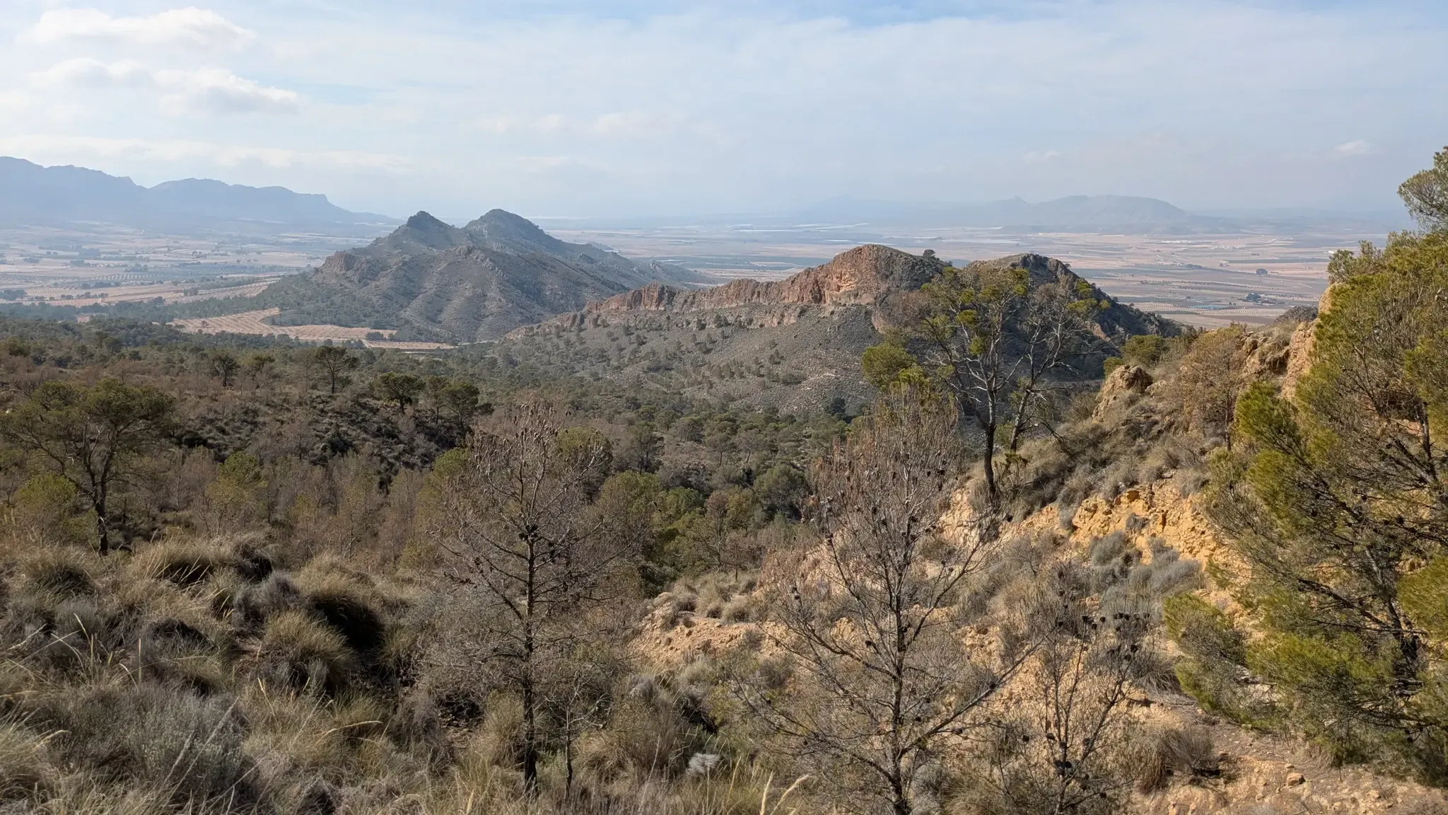
Path of the Cross of the Altiplano – GR 251
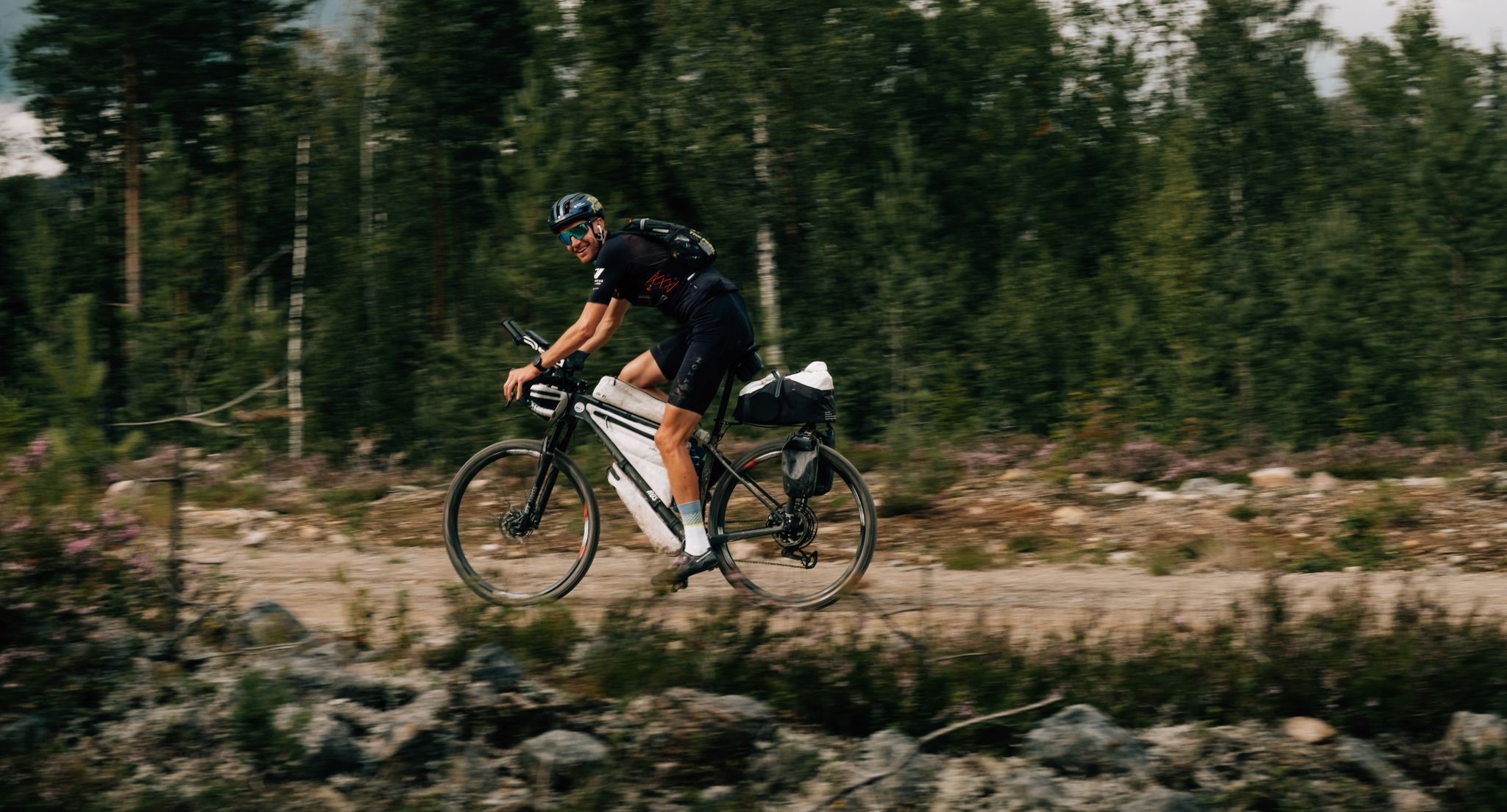
European D̶I̶V̶I̶D̶E̶ Connect Trail Project – a journey across Europe
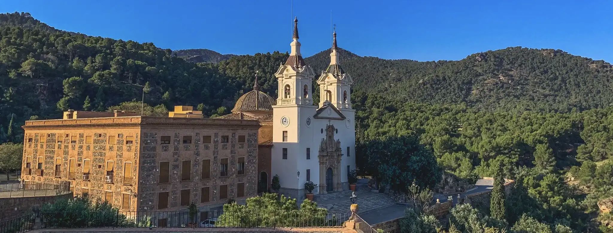
A ride through the "Huerta de Europa" – Transmurciana on MTB

Let’s head south – cycle in Andalusia with me and my dog
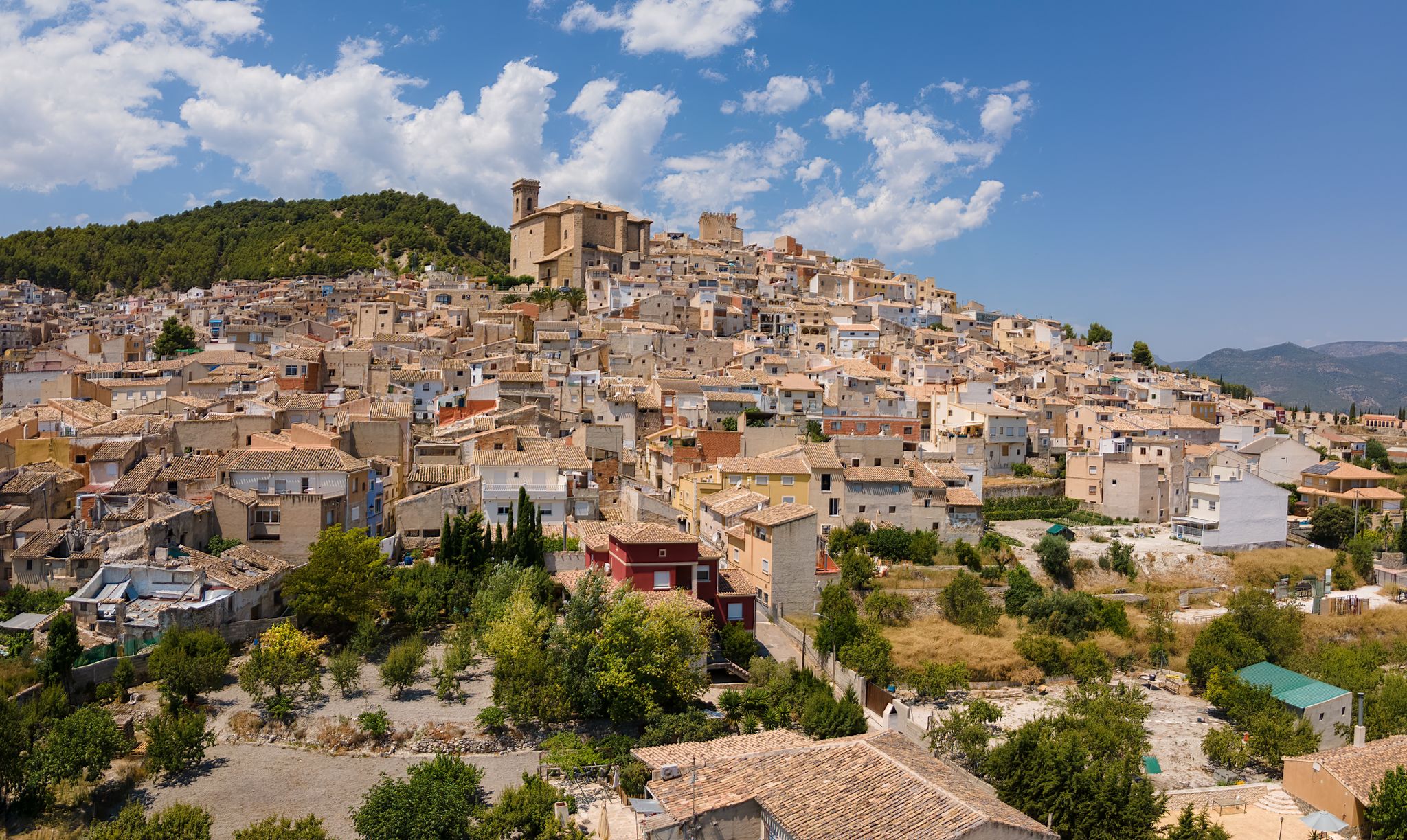
Castles, plains and charming villages – Murcia on foot (GR 7)
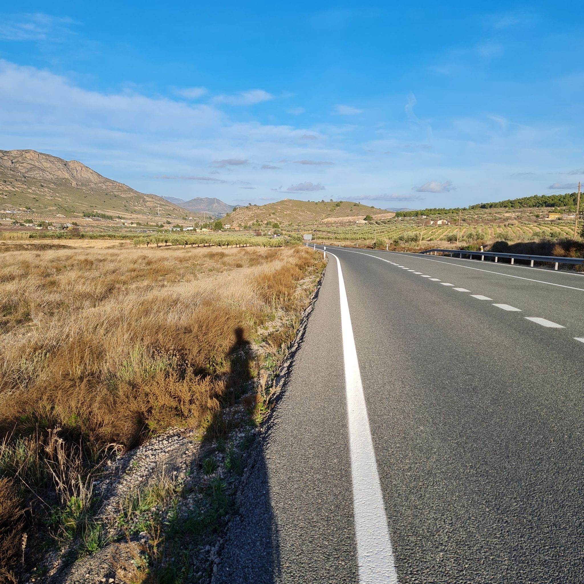
Road Cycling Routes around Altiplano
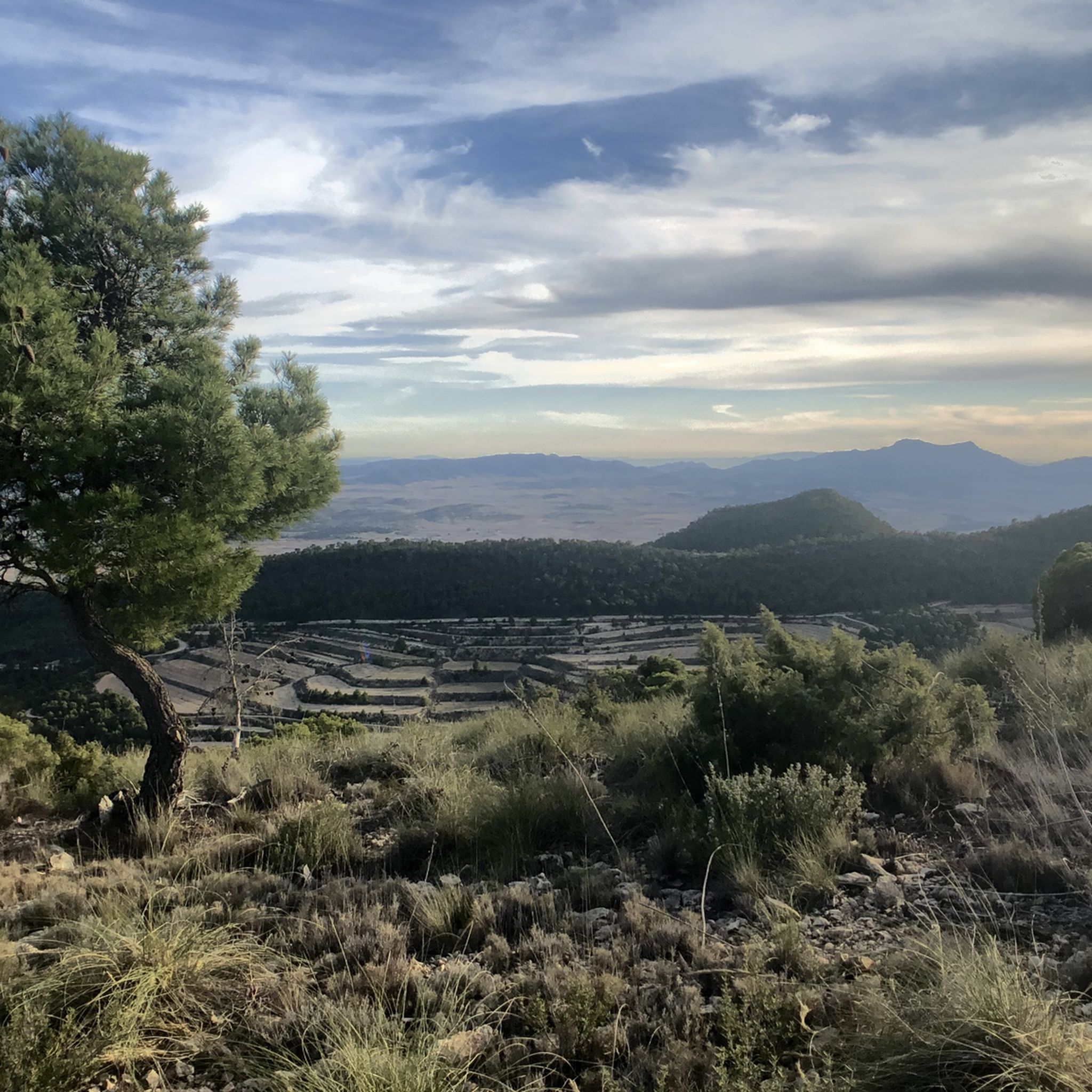
Hiking around Altiplano
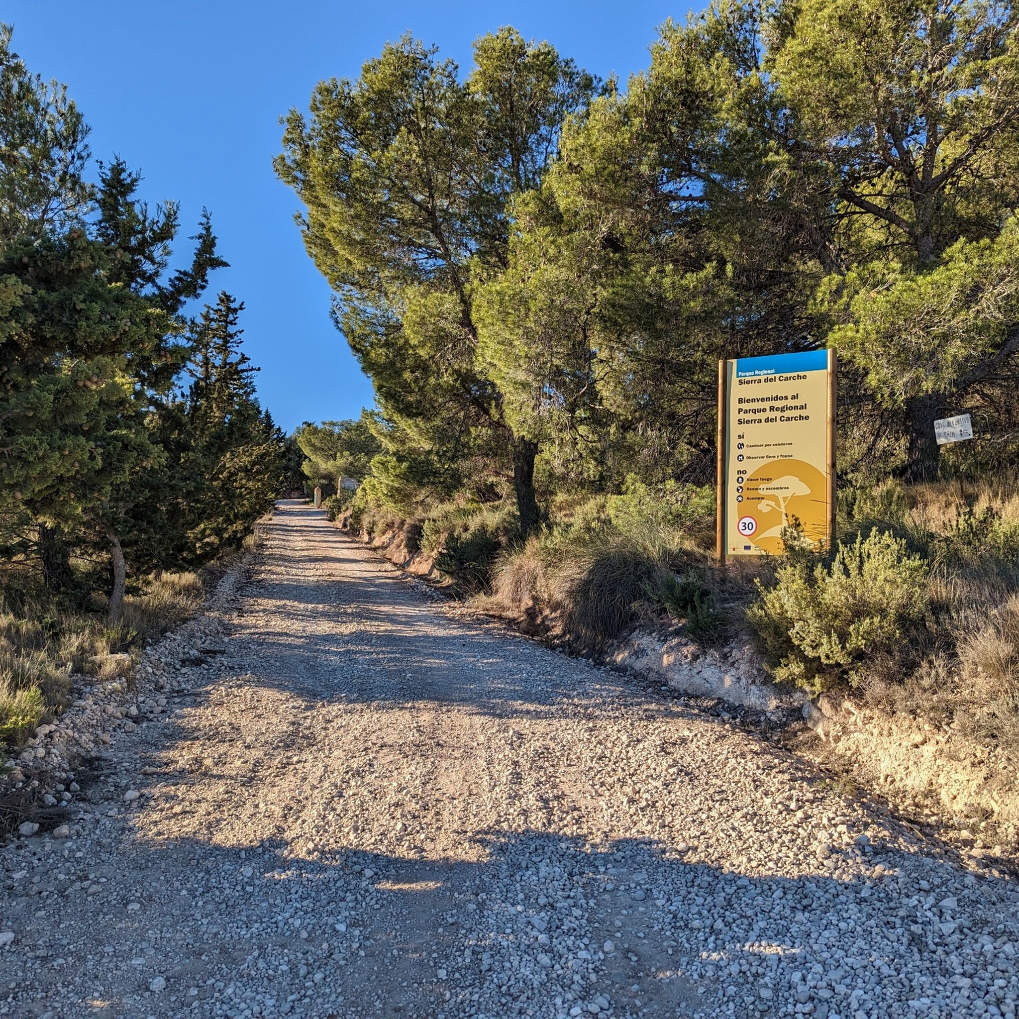
MTB Trails around Altiplano
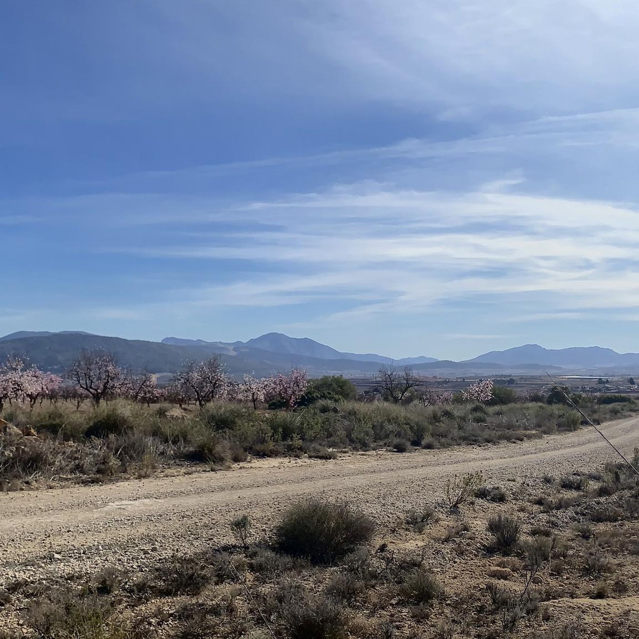
Cycling around Altiplano
Other adventures around Altiplano


Tips from the Community

The highly visible colossal Iron Cross, Cruz de la Muela rises about 465 metres above sea level and is the most popular mountain of the Sierra de Orihuela,
8
1

Hondón de los Frailes viewpoint with a beautiful information panel made of tiles. Views of the El Alto del Rincón de los Tiesos peak, Crevillente and coast. Jaime El Barbudo was a Spanish bandit from the early 19th century.
1
0

The ascent to the Cruz de la Muela de Orihuela can be done from several points, since there are routes of different levels of difficulty and duration.
17
1

A narrow but very high crevice leading to the cave. It is more than 20 meters long and you have to be careful and especially with light, as it is very dark inside. The gorge ends in an area of steps that descend very steeply and end at the entrance to the pit.
0
0

Frequently Asked Questions
How many mountaineering routes are available in the Altiplano region?
There are currently 4 mountaineering routes detailed in this guide for the Altiplano region. All of them are rated as moderate difficulty, offering varied terrain for exploration.
What kind of terrain can I expect on mountaineering routes in Altiplano?
The mountaineering routes in Altiplano navigate varied terrain, including hills and valleys. You can expect paths that feature moderate elevation gains, suitable for exploring the local landscape on foot.
Are there any circular mountaineering routes in Altiplano?
Yes, all the routes listed in this guide are circular. For example, you can explore the Cruz de la Muela loop from Urbanización Montepinar, the Alt de Sant Juri loop from Merendero de San Cayetano, or the Cave of Jaime el Barbudo loop from Hondón de los Frailes.
What do other mountaineers say about the routes in Altiplano?
The routes in Altiplano are highly rated by the komoot community, with an average score of 5.0 stars from 3 reviews. More than 15 mountaineers have used komoot to explore the region's varied terrain, often praising the moderate climbs and diverse paths.
Are there any natural attractions or landmarks to see along the mountaineering routes?
Yes, the Altiplano region offers several interesting natural attractions. You might encounter unique geological formations like the Desierto de Abanilla, or explore caves such as the Horadada Cave of Monte Arabí and Cueva del Lagrimal. There are also impressive canyons like the Chicamo River Canyon and the Boca del Infierno.
What is the typical duration for these mountaineering routes?
The routes in this guide vary in duration. For instance, the Cruz de la Muela loop typically takes around 3 hours 39 minutes, while the Cave of Jaime el Barbudo loop can be completed in about 2 hours 19 minutes.
What are some of the unique natural features I can discover in the Altiplano?
Beyond the specific routes, the Altiplano region is known for its diverse natural features. You can find striking gorges like Paso de la Lagartija and the Boca del Infierno. There are also interesting geological sites such as the Morra de la Mina Sinkhole and the Cortao de las Peñas viewpoint.
Are there any viewpoints or summits accessible on these routes?
While the routes focus on varied terrain, you can reach points of interest like the Geodetic Vertex of La Capilla, which offers a summit experience and potentially expansive views of the surrounding landscape.
What is the average elevation gain on the mountaineering routes?
The routes in Altiplano feature moderate elevation gains. For example, the Cruz de la Muela loop has an ascent of over 1,400 feet, and the Alt de Sant Juri loop includes an elevation gain of over 1,200 feet.
What is the longest mountaineering route in this guide for Altiplano?
The longest mountaineering route featured in this guide is the Cruz de la Muela loop from Urbanización Montepinar, which spans 5.9 miles (9.6 km).
What is the shortest mountaineering route in this guide for Altiplano?
The shortest mountaineering route in this guide is the Alt de Sant Juri loop from Merendero de San Cayetano, covering a distance of 3.8 miles (6.2 km).
Most popular routes around Altiplano
Most popular attractions around Altiplano

Get inspired with the komoot mobile app


Explore more
Browse the best Mountain Hikes & Routes in other regions.
