The best road cycling routes around Altiplano
4.2
(78)
6,206
riders
123
rides
Road cycling around Altiplano offers routes across a vast high plateau within the Andes mountain range, characterized by extreme high-altitude terrain. The region features diverse landscapes including salt flats, colorful lagoons, and volcanic areas. Cyclists navigate elevations often exceeding 3,000 meters, with some routes reaching over 5,000 meters. This environment provides panoramic views and a sense of remote isolation.
Best road cycling routes around Altiplano
- The most popular road cycling route is Santomera Reservoir and Ajauque Wetland Loop, a…
Last updated: July 7, 2026
59
riders
47.0km
02:06
410m
420m
This moderate 29.2-mile road cycling route around Embalse de Santomera offers scenic views and varied terrain for cyclists.
5.0
(2)
24
riders
Moderate road ride. Good fitness required. Some segments of this route may be unpaved and difficult to ride.

Sign up for free
5.0
(1)
18
riders
70.7km
03:20
940m
940m
Cycle the difficult Sierra de la Pila and Puerto Frío Loop, a 43.9-mile route with 3077 feet of elevation gain through arid landscapes.
13
riders
85.6km
03:45
750m
750m
Moderate road ride. Good fitness required. Some segments of this route may be unpaved and difficult to ride.
12
riders
60.4km
02:46
490m
490m
Cycle 37.5 miles through Sierra del Carche Regional Park, gaining 1614 feet on this moderate route from Jumilla.
7
riders
75.3km
03:39
800m
800m
This moderate 46.8-mile road cycling route from Jumilla climbs to Sierra Salinas, offering dramatic views and an elevation gain of 2612 feet
3.6
(5)
77
riders
53.4km
02:31
580m
580m
Moderate road ride. Good fitness required. Mostly well-paved surfaces and easy to ride.
75
riders
55.4km
02:55
350m
350m
Moderate road ride. Good fitness required. Some segments of this route may be unpaved and difficult to ride.
4.5
(2)
53
riders
36.1km
01:31
160m
160m
Moderate road ride. Great for any fitness level. Some segments of this route may be unpaved and difficult to ride.
49
riders
54.1km
02:19
280m
280m
Moderate road ride. Good fitness required. Mostly well-paved surfaces and easy to ride.
Get access to more routes and recommendations from other explorers.
Sign up for free
Already have an account?
Our route recommendations are based on thousands of hikes, rides, and runs completed by other people on komoot.
Start today with a free account
Your next adventure awaits.
Login or Signup
Popular around Altiplano
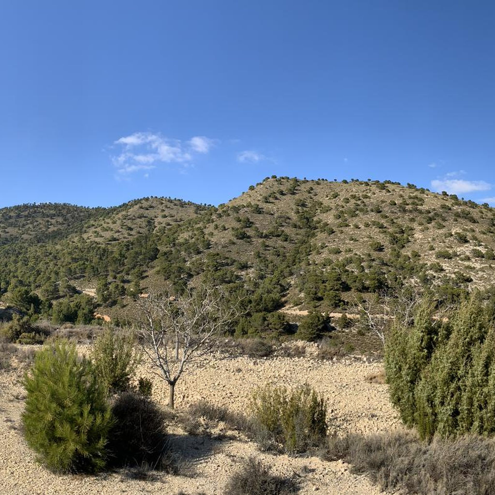
Road Cycling Routes around Jumilla
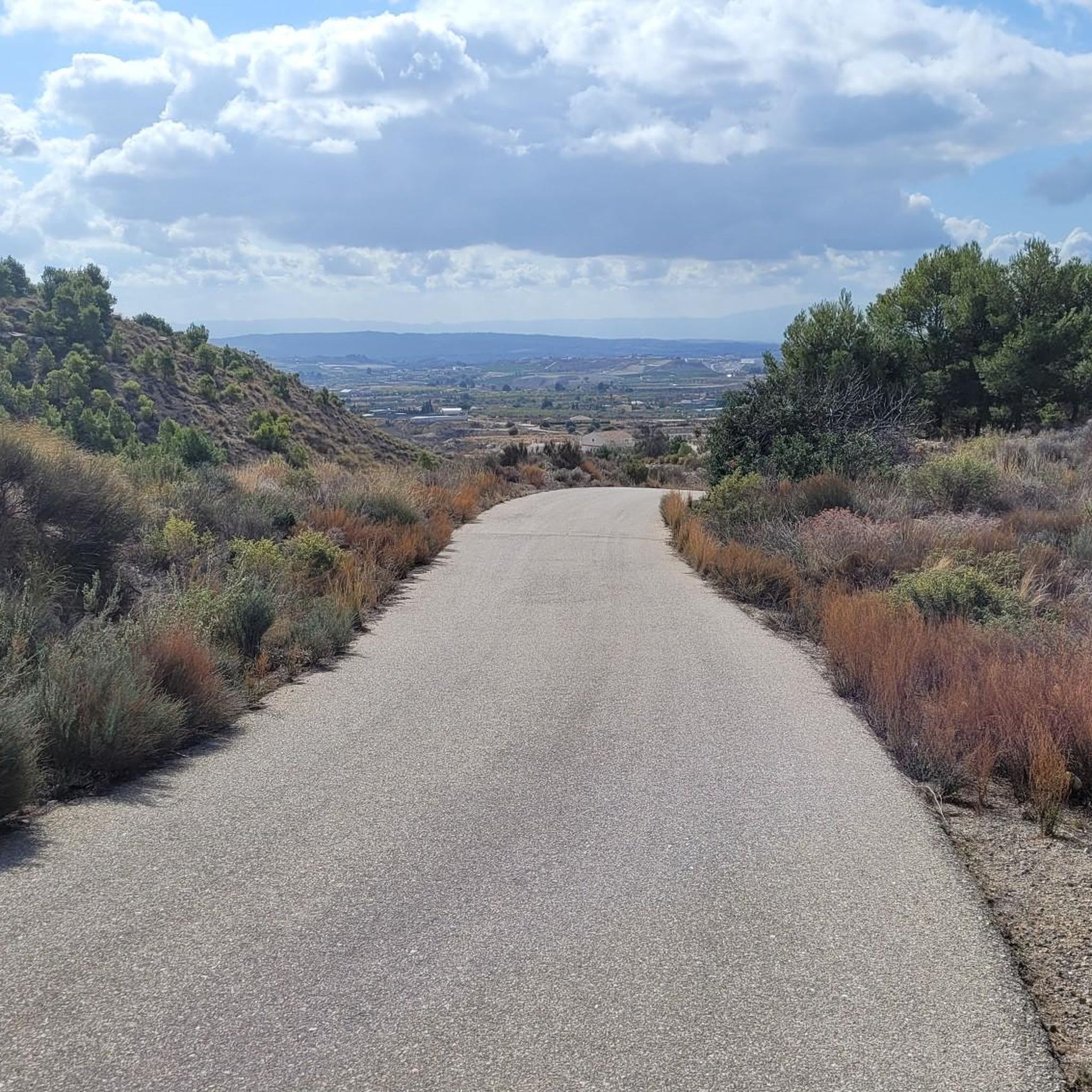
Road Cycling Routes around Fortuna
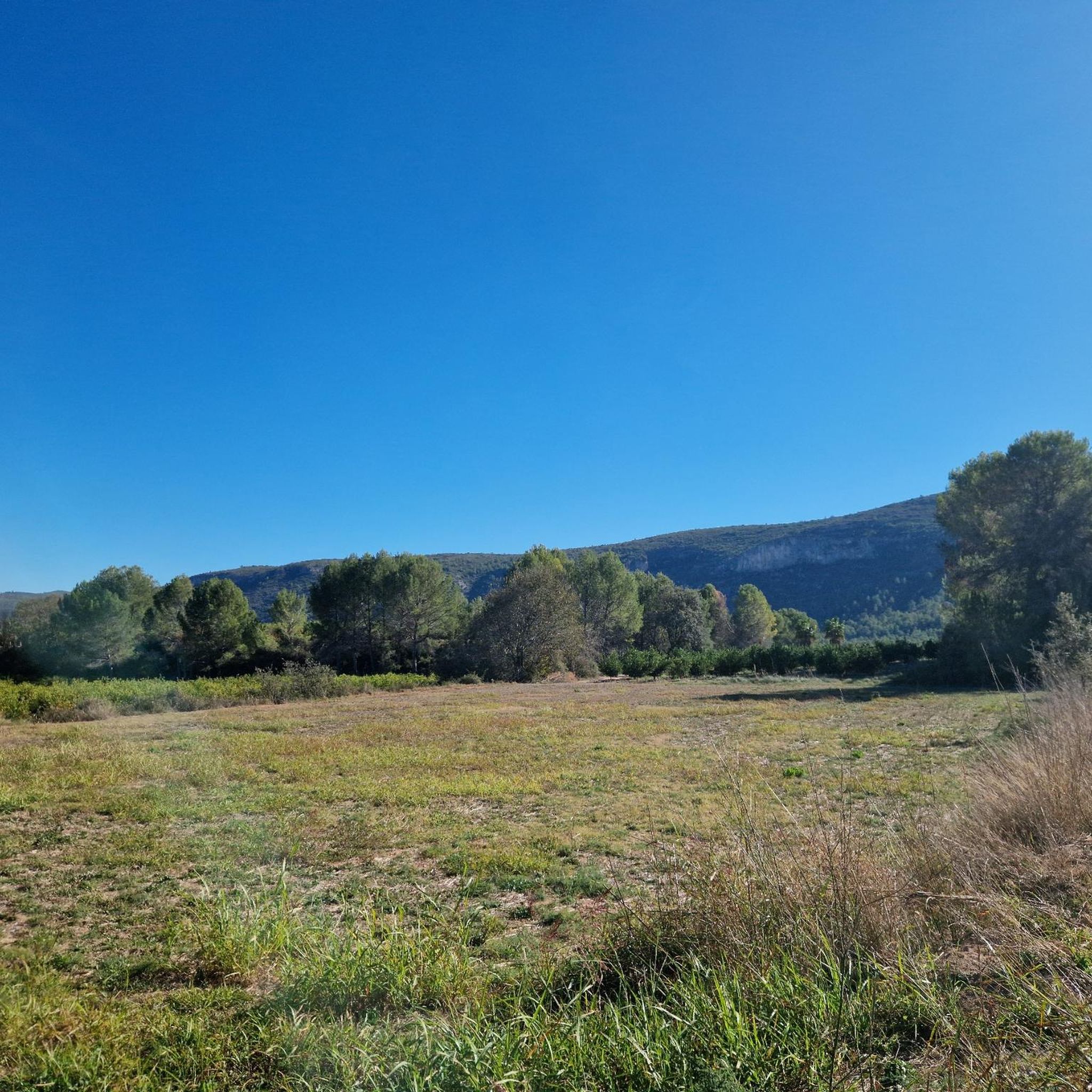
Road Cycling Routes around Yecla
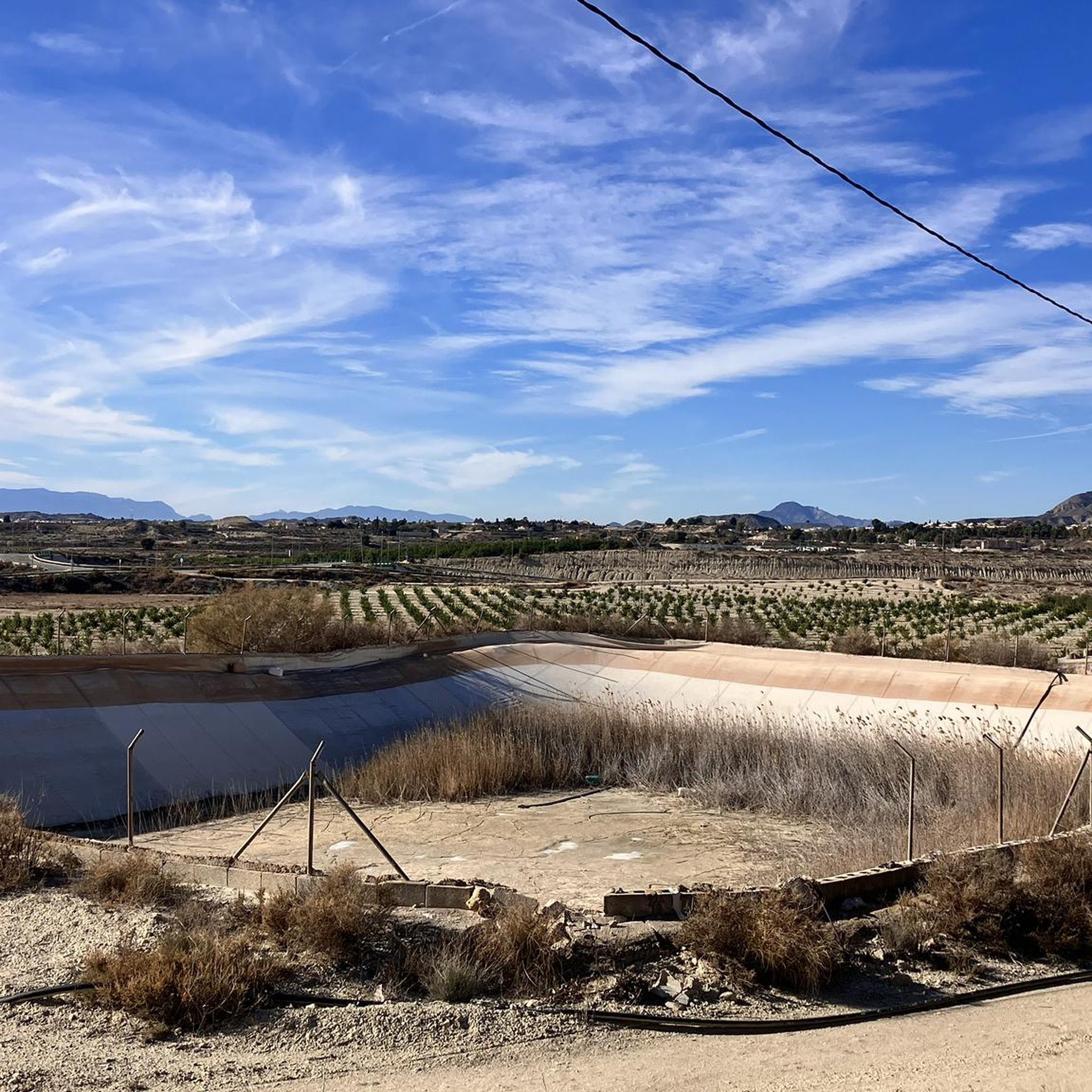
Road Cycling Routes around Abanilla
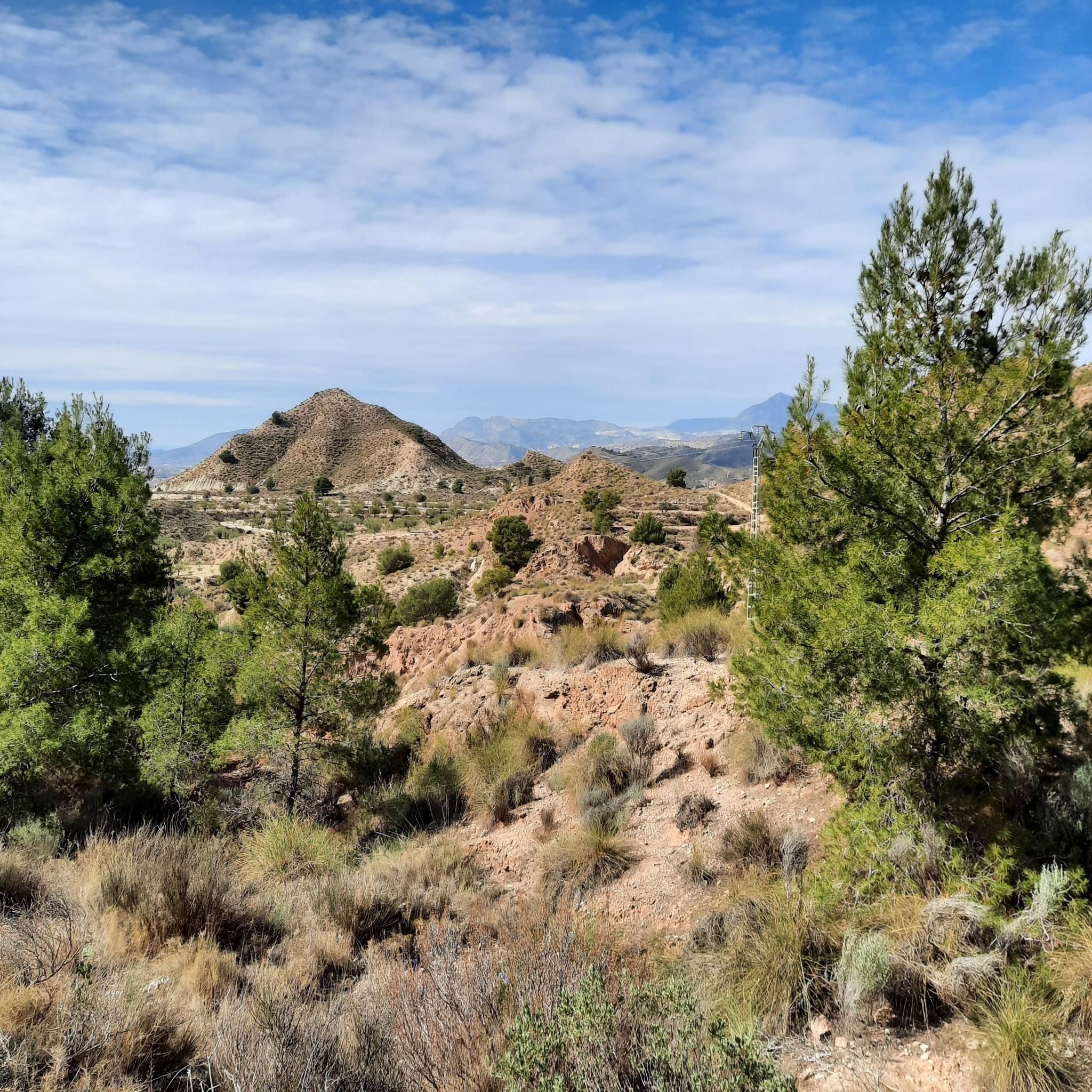
Road Cycling Routes in El Puerto
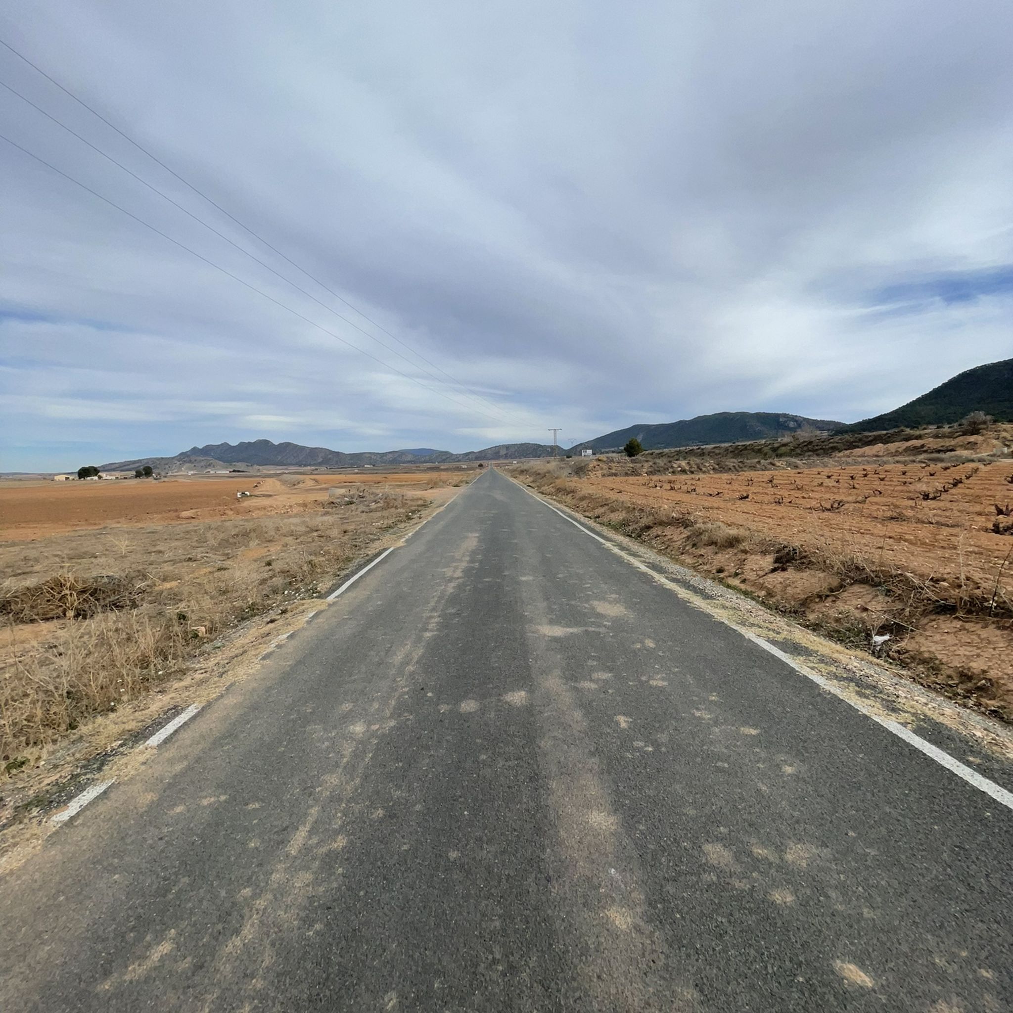
Road Cycling Routes in Sierra Del Carche
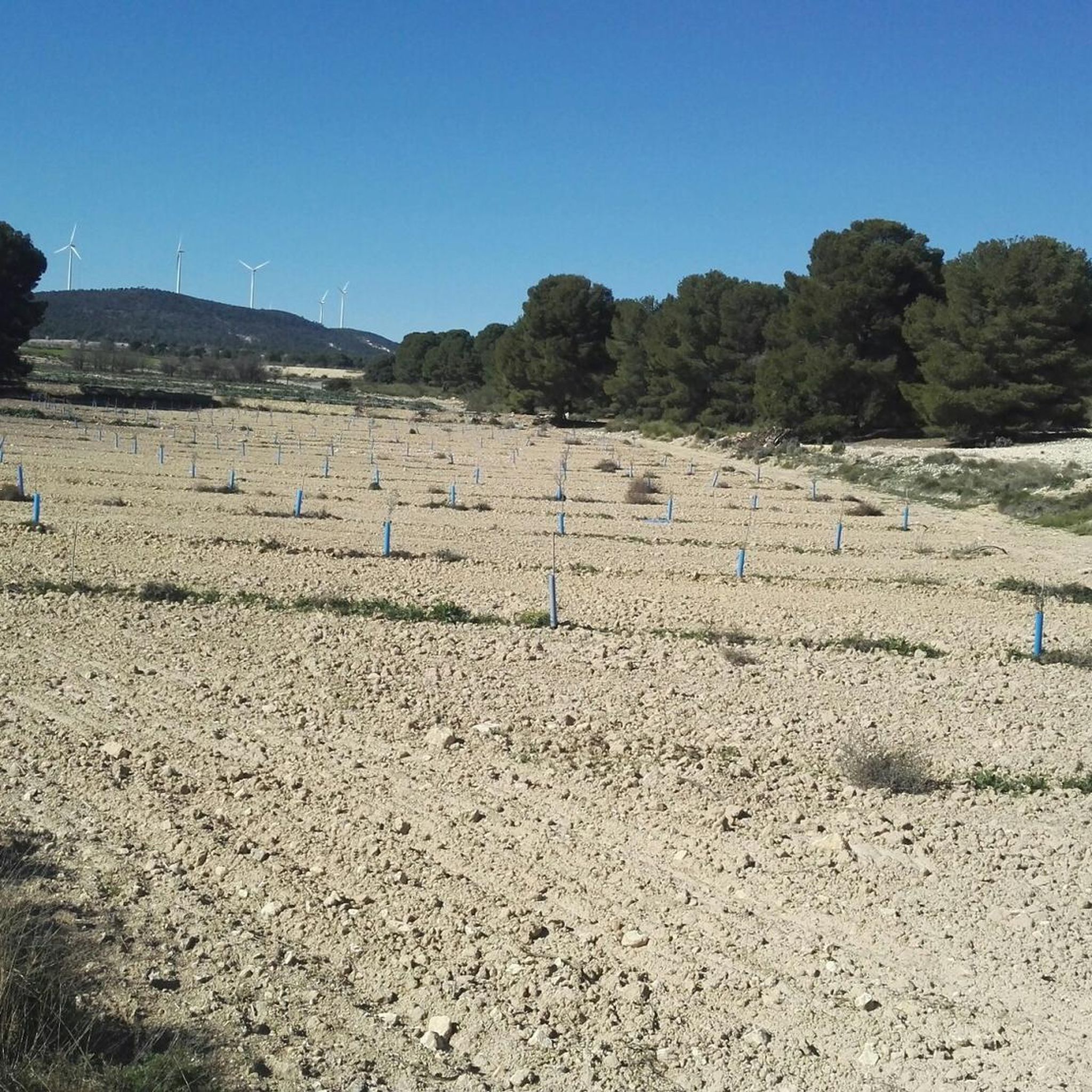
Road Cycling Routes in Zepa Estepas De Yecla
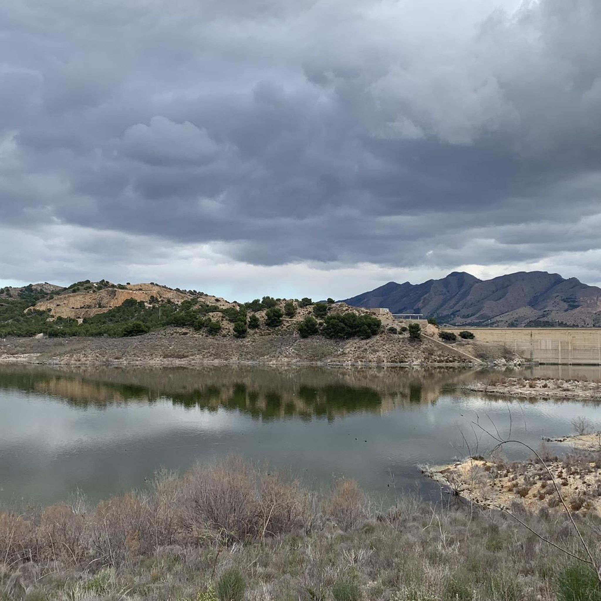
Road Cycling Routes in Humedal De Ajauque Y Rambla Salada
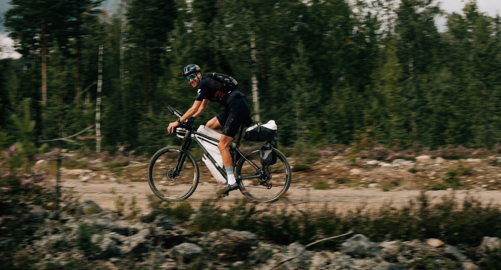
European D̶I̶V̶I̶D̶E̶ Connect Trail Project – a journey across Europe

On the road to the sun — bikepacking to southeast Spain
Other adventures around Altiplano


Tips from the Community

the dam is worth it as a destination - but here there are further single trails to explore
0
0

If you enjoy wine, history, and nature, Jumilla is a must-see destination. In a single weekend, you can combine wineries, a castle, gastronomy, and nature trails, all at a relaxed pace and in a very welcoming atmosphere.
4
0
Jumilla is a jewel of the Murcian highlands, internationally renowned for its wines and exceptional historical and natural heritage. It's the perfect city for cultural, gastronomic, and nature getaways. The historic center preserves a traditional and monumental setting: The Church of Santiago – a National Monument since 1931. The Church of El Salvador and the Vico Theatre, along with 19th-century modernist houses. The Archaeological Museum and the Ethnographic Museum (Jerónimo Molina) – ideal for discovering local history.
4
0

Jumilla is a city in Murcia known for its wines (DOP Jumilla) and pears. Its historic center is well worth a visit: declared a Historic-Artistic Site, it offers numerous religious and civil heritage sites. Its monuments include the Church of Santiago, the castle perched on a hill, the former Town Hall, the Vico Theater, and much more.
2
0

Jumilla is a city in Murcia known for its wines (DOP Jumilla) and pears. Its historic center is worth a visit: declared a Historical-Artistic Site, it offers numerous religious and civil heritage. Among the monuments, the following stand out: the church of Santiago, the castle located on a hill, the old Council palace, the Vico Theater and much more.
2
0

This section of corrugated asphalt and gravel through the Sierra de Salinas presents a challenge for all cyclists, but the views and surroundings are worth the effort.
1
1

At this point you find yourself in front of the imposing Basilica of the Immaculate Conception of the city of Yecla built between 1775-1868. In addition to the basilica, you can visit the Hisn Yakka, an ancient fortress and Muslim town, predecessors of the current city of Yecla. The Church of the Assumption or on the outskirts, the Roman site of Los Torrejones or even further away, the beautiful Monte Arabí.
1
1
Frequently Asked Questions
How many road cycling routes are available in Altiplano?
There are over 115 road cycling routes available in Altiplano, catering to various skill levels. You'll find options ranging from moderate loops to more challenging ascents across the high-altitude plateaus.
What is the typical terrain like for road cycling in Altiplano?
Road cycling in Altiplano primarily involves extreme high-altitude terrain, often exceeding 3,000 meters, with some routes reaching over 5,000 meters. While some sections, particularly on salt flats like the Salar de Uyuni, offer flat, hard-packed surfaces, many roads can be unpaved and sandy. Expect breathtaking panoramic views and a sense of remote isolation.
Are there road cycling routes suitable for beginners in Altiplano?
While many routes in Altiplano present significant challenges due to elevation and terrain, there are 17 routes classified as easy. However, even 'easy' routes in this region will involve high altitudes, so preparation is key. Most routes, 83 in total, are moderate.
What are some challenging road cycling routes in Altiplano?
For experienced cyclists seeking a challenge, Altiplano offers 15 difficult routes. An example is the Sierra de la Pila and Puerto Frío Loop, a 43.9-mile (70.7 km) trail with significant elevation gain, often completed in about 3 hours 19 minutes. These routes demand self-sufficiency and preparation for extreme conditions.
Can I find circular road cycling routes in Altiplano?
Yes, many road cycling routes in Altiplano are designed as loops. For instance, the Santomera Reservoir and Ajauque Wetland Loop is a moderate 29.2-mile (47.0 km) trail, and the Ascension to Puerto Frio via La Chuleta and Los Banos - circular from Fortuna is another popular moderate loop.
What kind of natural features or landmarks can I expect to see while cycling?
Altiplano's road cycling routes offer diverse natural features. You can encounter the vast, surreal Salar de Uyuni salt flats, vibrant lagoons like Laguna Colorada and Laguna Verde, and dramatic volcanic landscapes. The region is also home to unique puna grasslands and wildlife such as llamas and alpacas. For specific viewpoints, consider visiting the View of Monte Arabí or the El Carche Summit and Mountain Refuge.
What is the best time of year for road cycling in Altiplano?
The Altiplano experiences cold temperatures and strong winds, especially at night. While specific 'best times' can vary, generally, the dry season (May to October) is preferred for cycling to avoid the rainy season which can turn some salt flats into shallow lakes and make unpaved roads more challenging. Always be prepared for extreme weather conditions due to the high altitude.
Are there family-friendly road cycling options in Altiplano?
Given the extreme high-altitude terrain, challenging conditions, and often remote nature of the routes, Altiplano is generally not considered ideal for typical family-friendly road cycling with young children. Routes require self-sufficiency and preparation. However, some of the easier, shorter loops might be suitable for families with older, experienced teenage cyclists who are well-acclimatized and prepared for the conditions.
What should I know about parking for road cycling routes in Altiplano?
Information on designated parking facilities for specific road cycling routes in the Altiplano is limited due to the region's remote and sparsely populated nature. Cyclists often start from towns or villages, where informal parking might be available. It's advisable to research specific starting points for your chosen route and plan for secure parking in advance, especially if leaving a vehicle for extended periods.
Are there any amenities like cafes or accommodation along the routes?
The Altiplano is characterized by remote isolation and sparsely populated landscapes. Amenities like cafes, pubs, or formal accommodation are rare along many routes, especially outside of larger towns. Cyclists undertaking these routes must be self-sufficient, carrying their own food, water, and emergency supplies. Some remote villages may offer basic provisions or guesthouses, but these should not be relied upon consistently.
What makes road cycling in Altiplano a unique experience?
Road cycling in Altiplano offers an unparalleled journey through some of the most unique and sparsely populated landscapes on Earth. The combination of extreme high-altitude terrain, surreal salt flats, colorful lagoons, volcanic peaks, and the chance to encounter indigenous cultures creates a truly adventurous and rewarding experience. The minimal traffic on many routes enhances the sense of solitude and immersion in nature.
How do other cyclists rate the road cycling routes in Altiplano?
The road cycling routes in Altiplano are highly rated by the komoot community, with an average score of 4.2 stars from over 15 reviews. Cyclists often praise the breathtaking scenery, the sense of accomplishment from tackling challenging terrain, and the unique natural features like the Salar de Uyuni and the colorful lagoons.
What are the typical distances and durations for road cycling routes here?
Road cycling routes in Altiplano vary significantly in distance and duration. You can find routes like the Sierra del Carche Loop from Jumilla, which is about 37.5 miles (60.4 km) and takes around 2 hours 45 minutes. Longer routes, such as the Ascent to the Monastery of Santa Ana and Cieza — return from Jumilla, can be over 53 miles (85.6 km) and take more than 3 hours 45 minutes, depending on your pace and the elevation.
Most popular routes around Altiplano
Most popular attractions around Altiplano

Get inspired with the komoot mobile app


Didn’t find what you were looking for?
Check out more Road cycling routes throughout Altiplano below and find the perfect route in your destination.
Explore more
Browse the best Road cycling routes in other regions.
